Buffalo Riverfront & Public Transport Photo Gallery
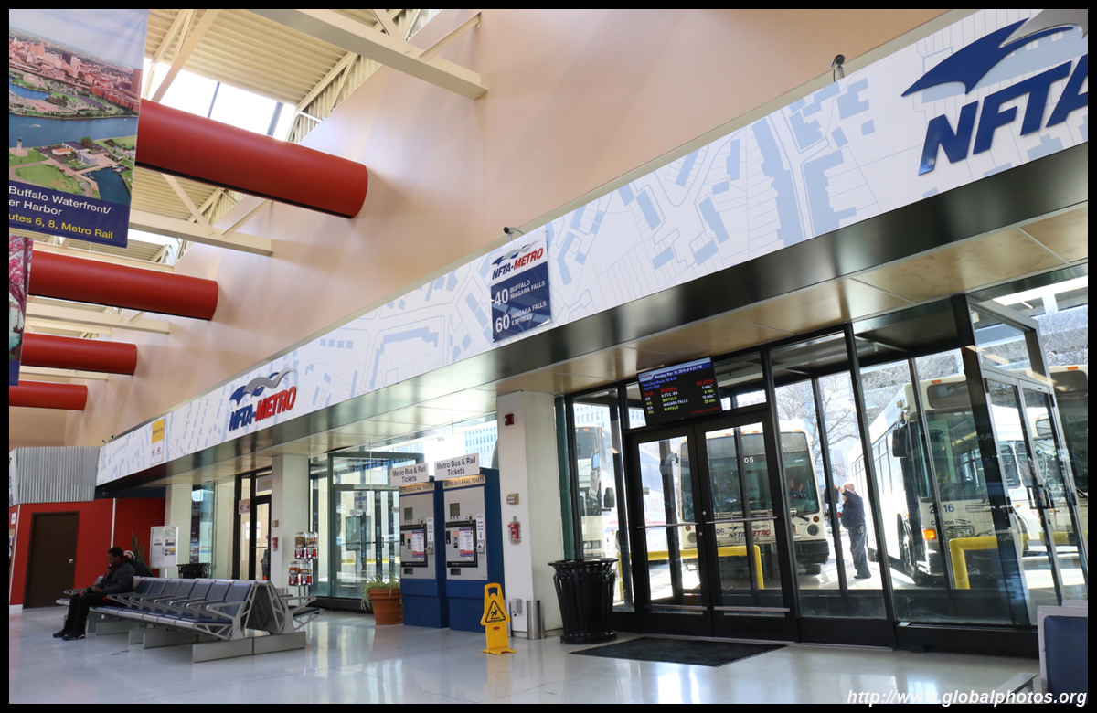
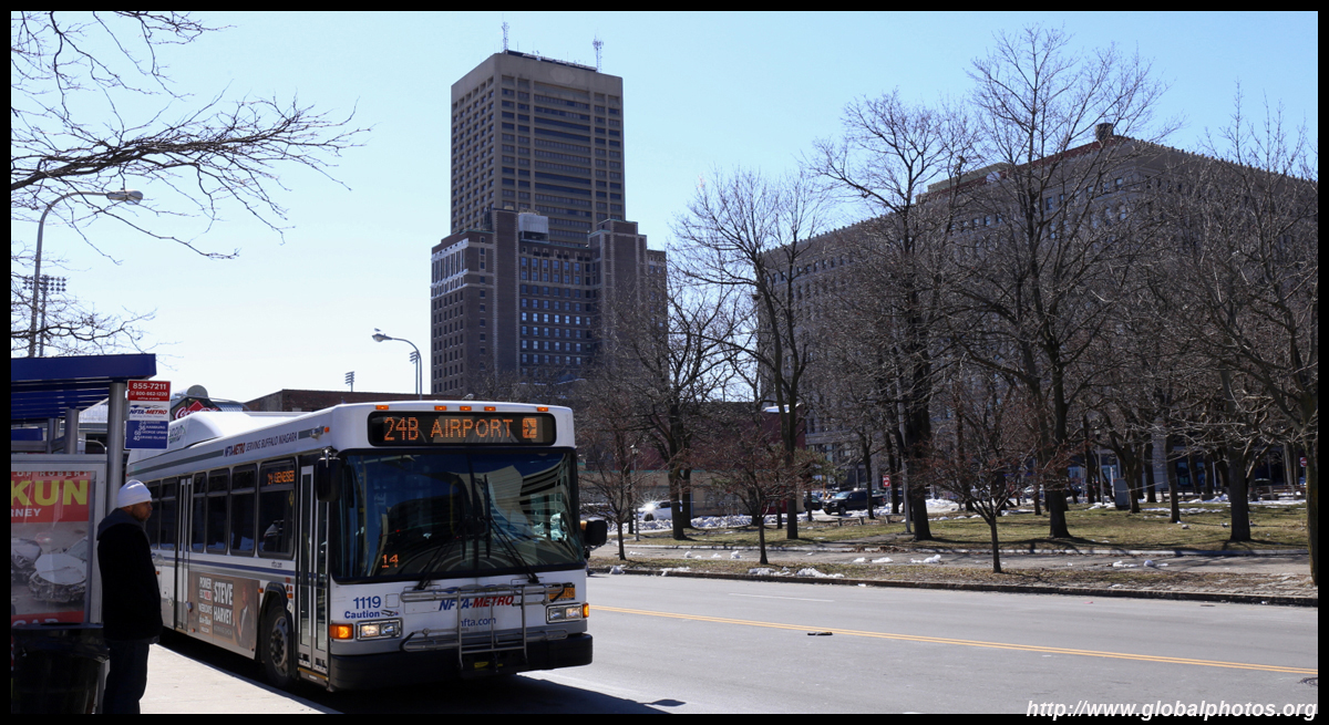
For tourists, getting around Buffalo is not too difficult. The downtown is very walkable and even a day trip to Niagara Falls is possible with the bus network. Route 40 leaves from the Greyhound terminus downtown for the 1-hour journey north. Note that there are no transfers available between buses and with trains. If you will ride more than twice a day, just buy a day pass for $5, which works on both buses and trains. (NFTA website)
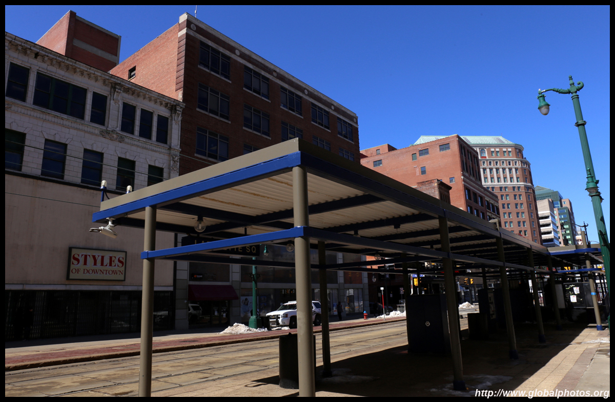
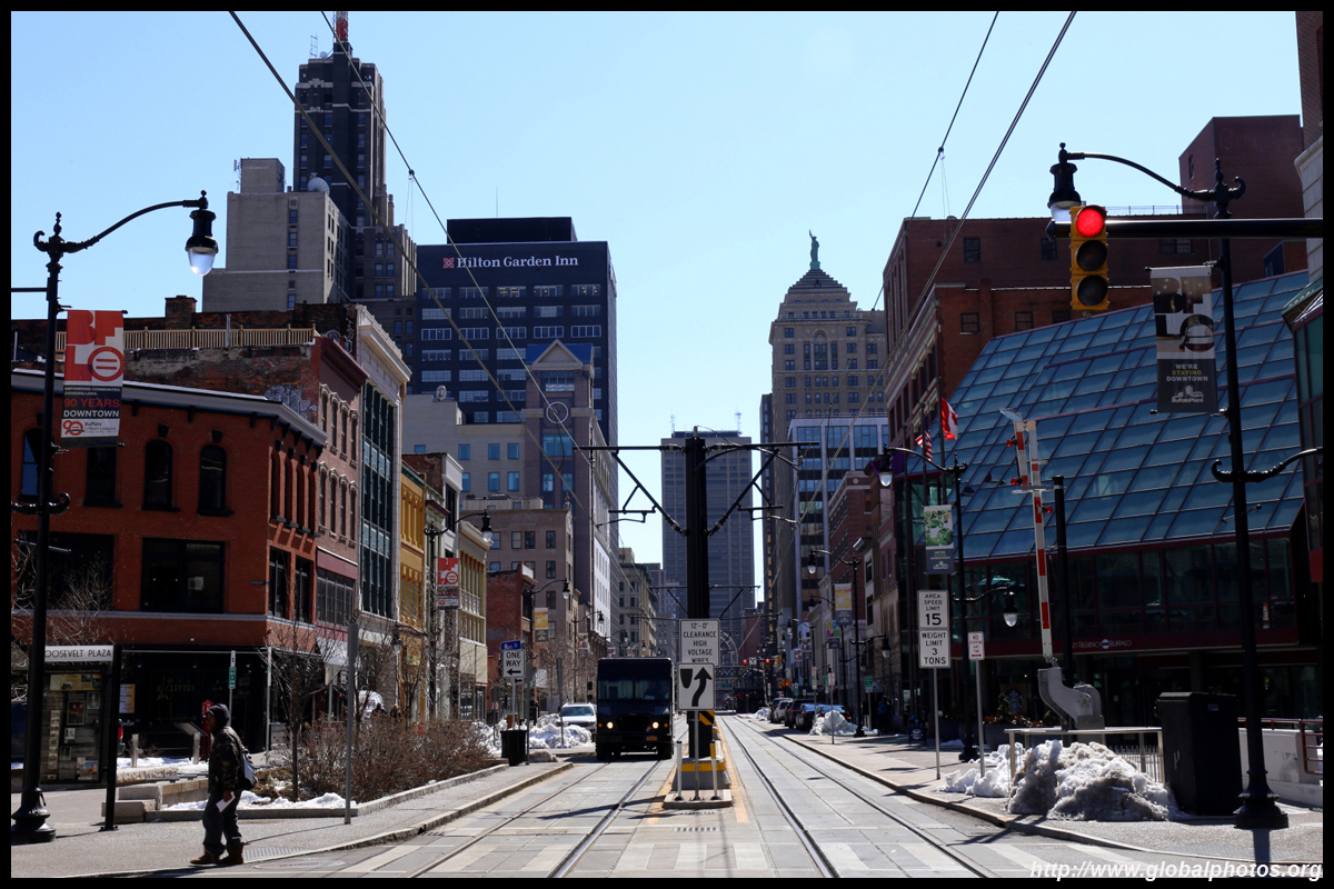
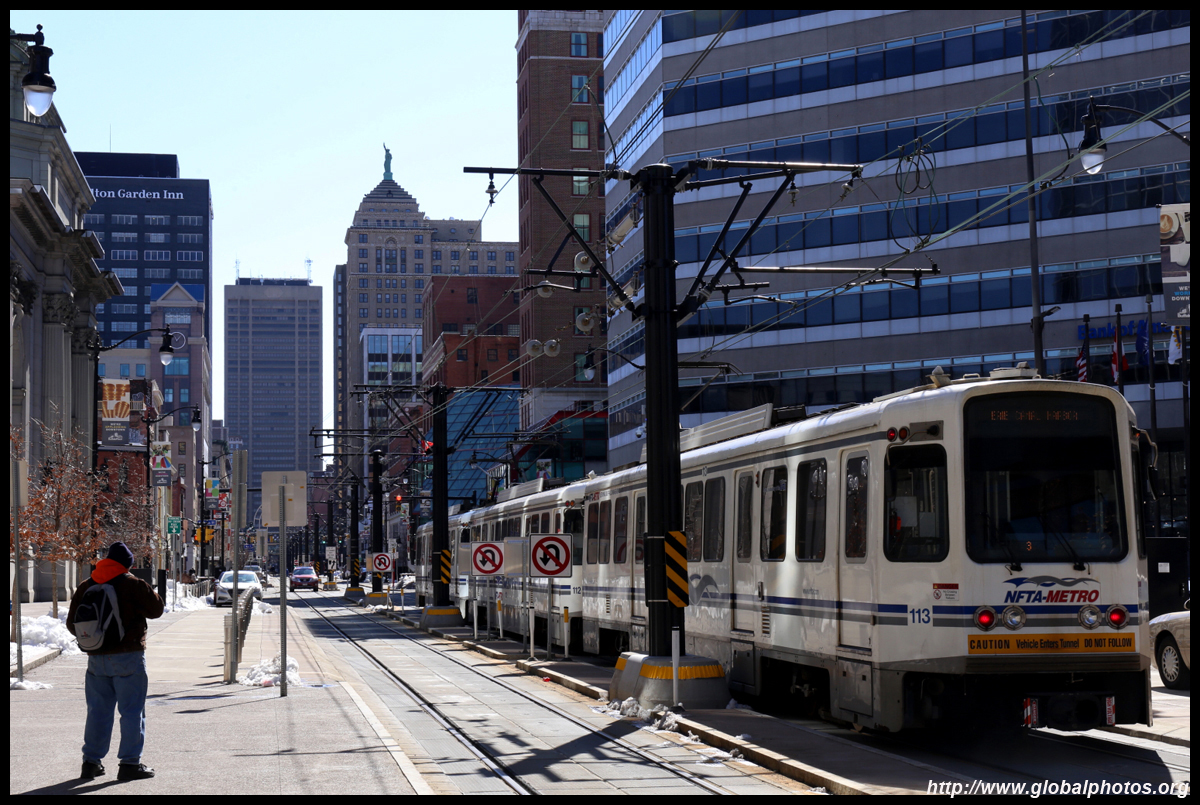
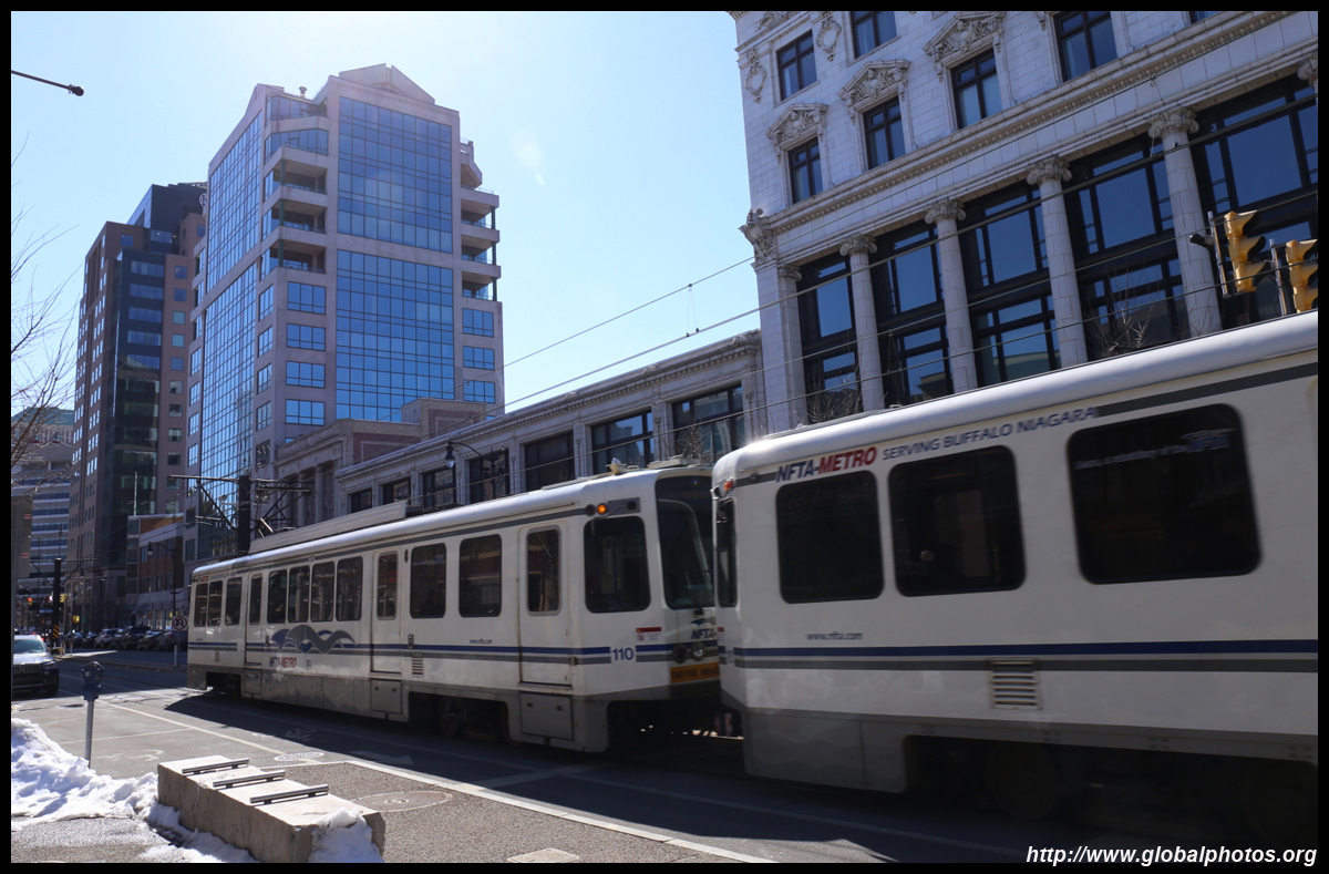
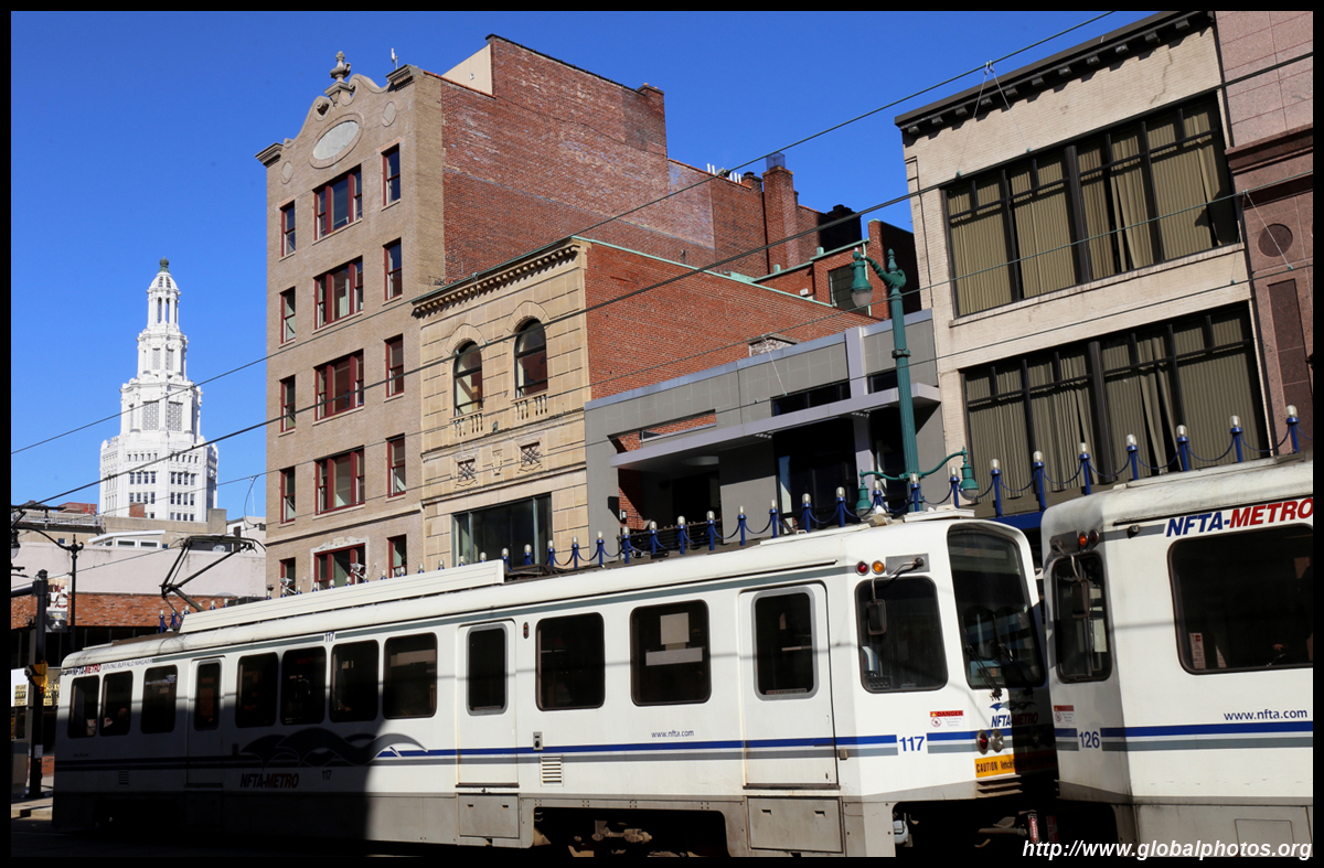
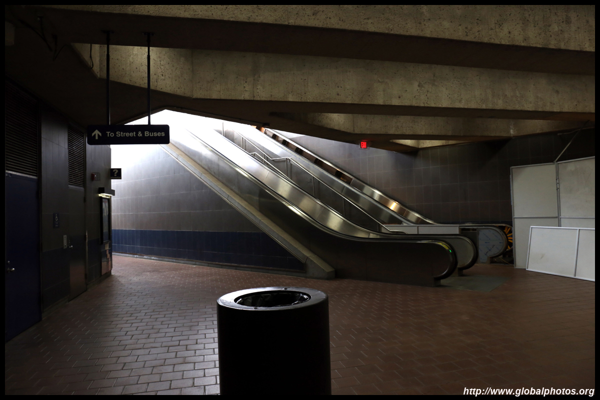
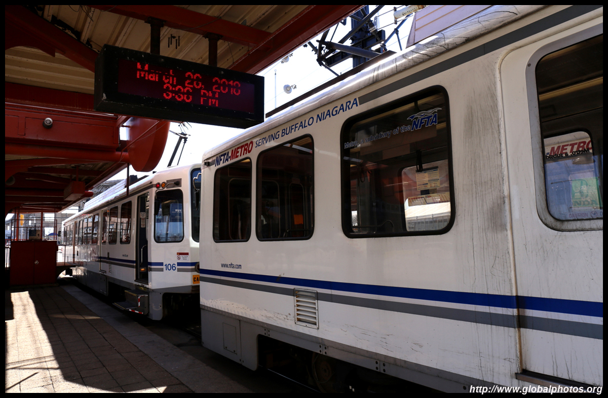
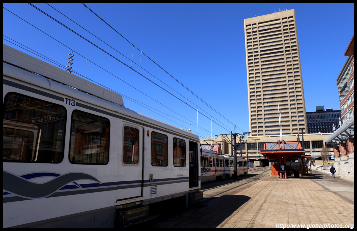
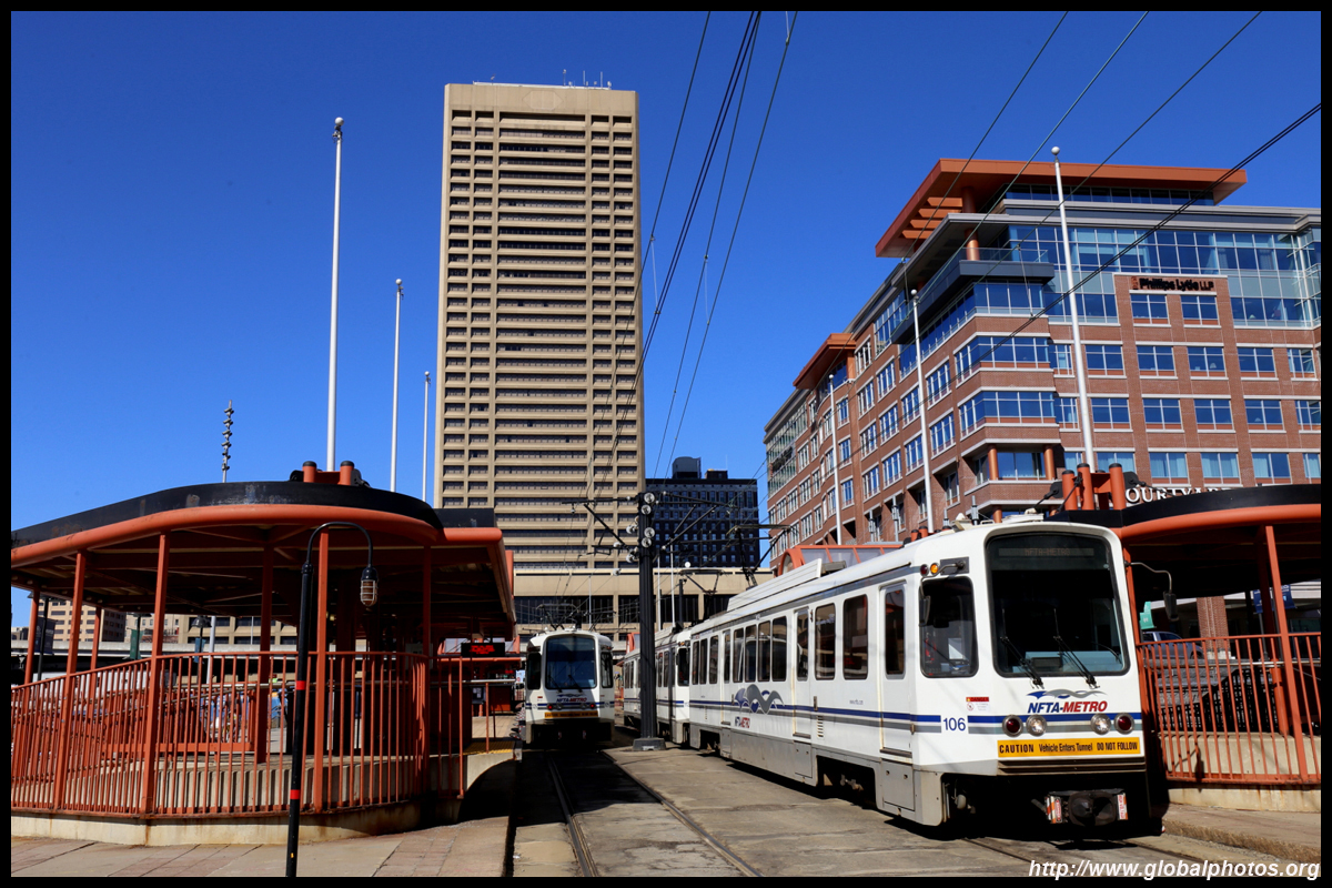
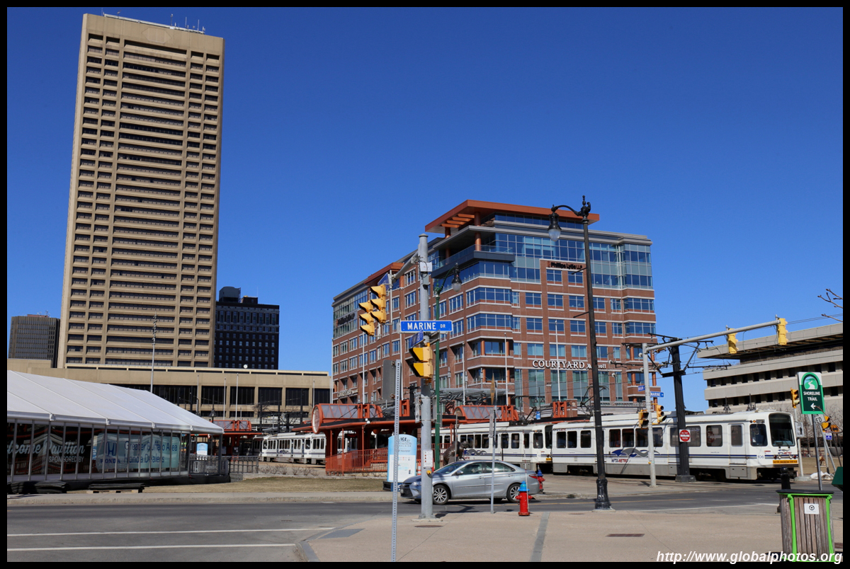
The metro rail system is quite easy to use. The above-ground section downtown is free to use, while you need to buy a $2 ticket to use the underground portion outside downtown (after Fountain Plaza).
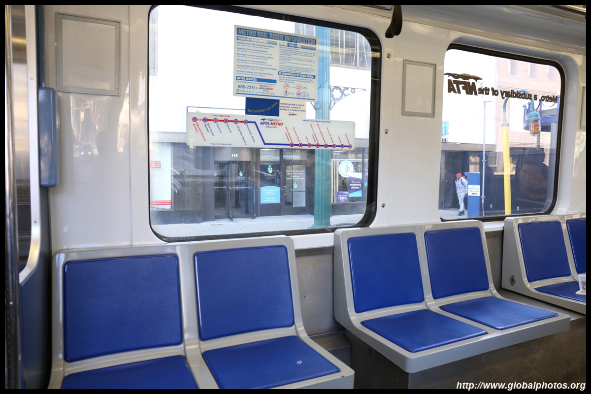
The above-ground downtown section has its own right-of-way along pedestrianized Main Street.
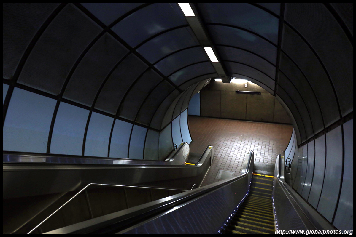
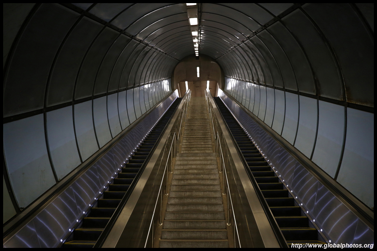
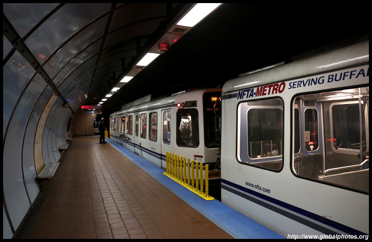
Underground stations look just like a subway system, although the vehicles used are light rail cars.
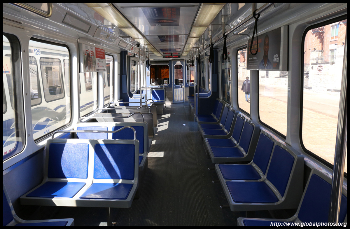
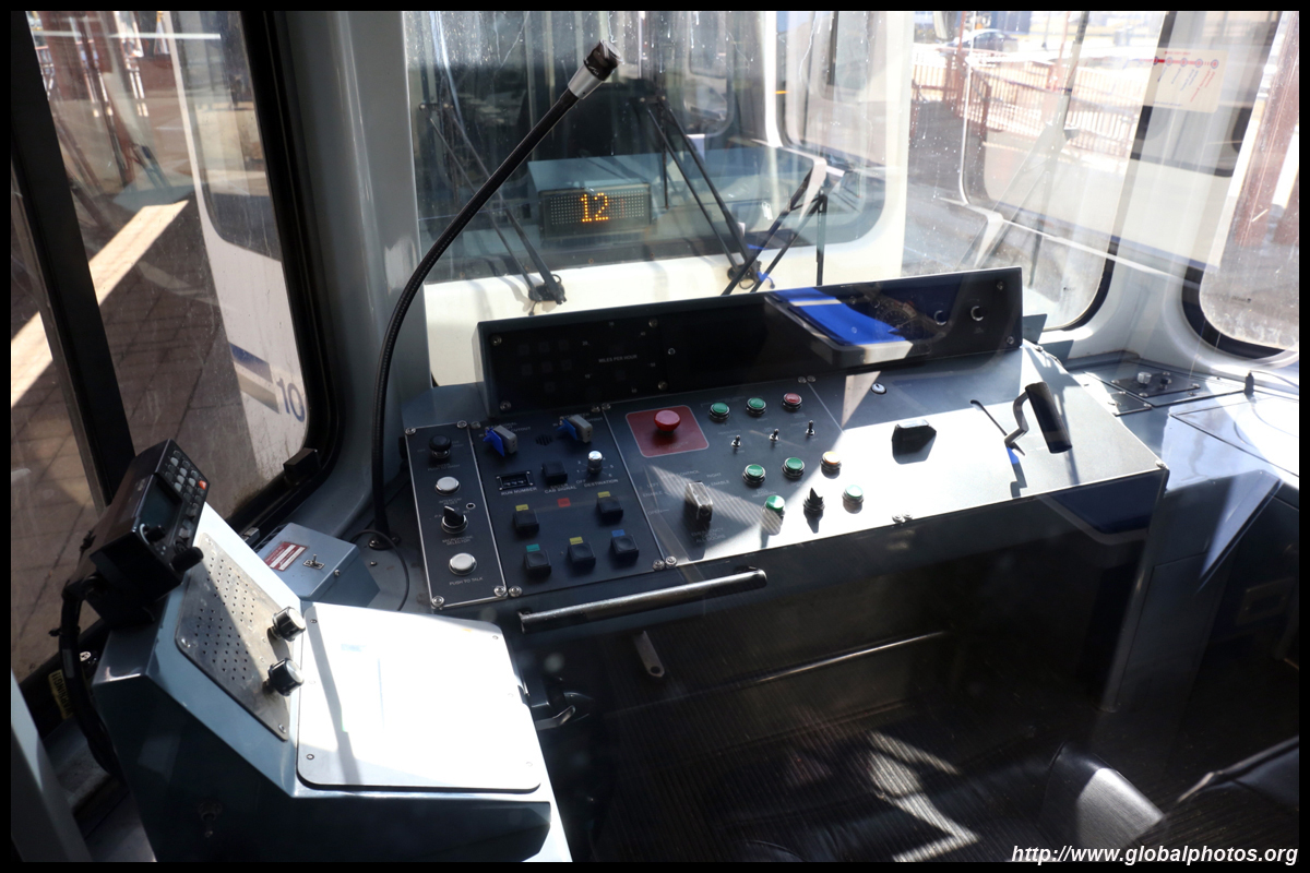
The vehicles are showing their age but are generally well-maintained.
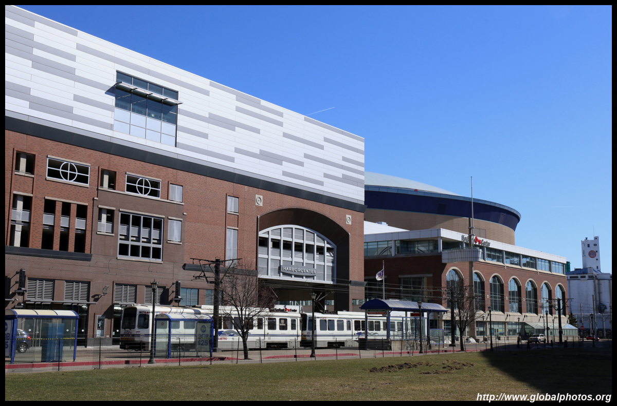
The terminus station at Erie Canal Harbor (Special Events Station further down is not always open) is within walking distance to Canalside.
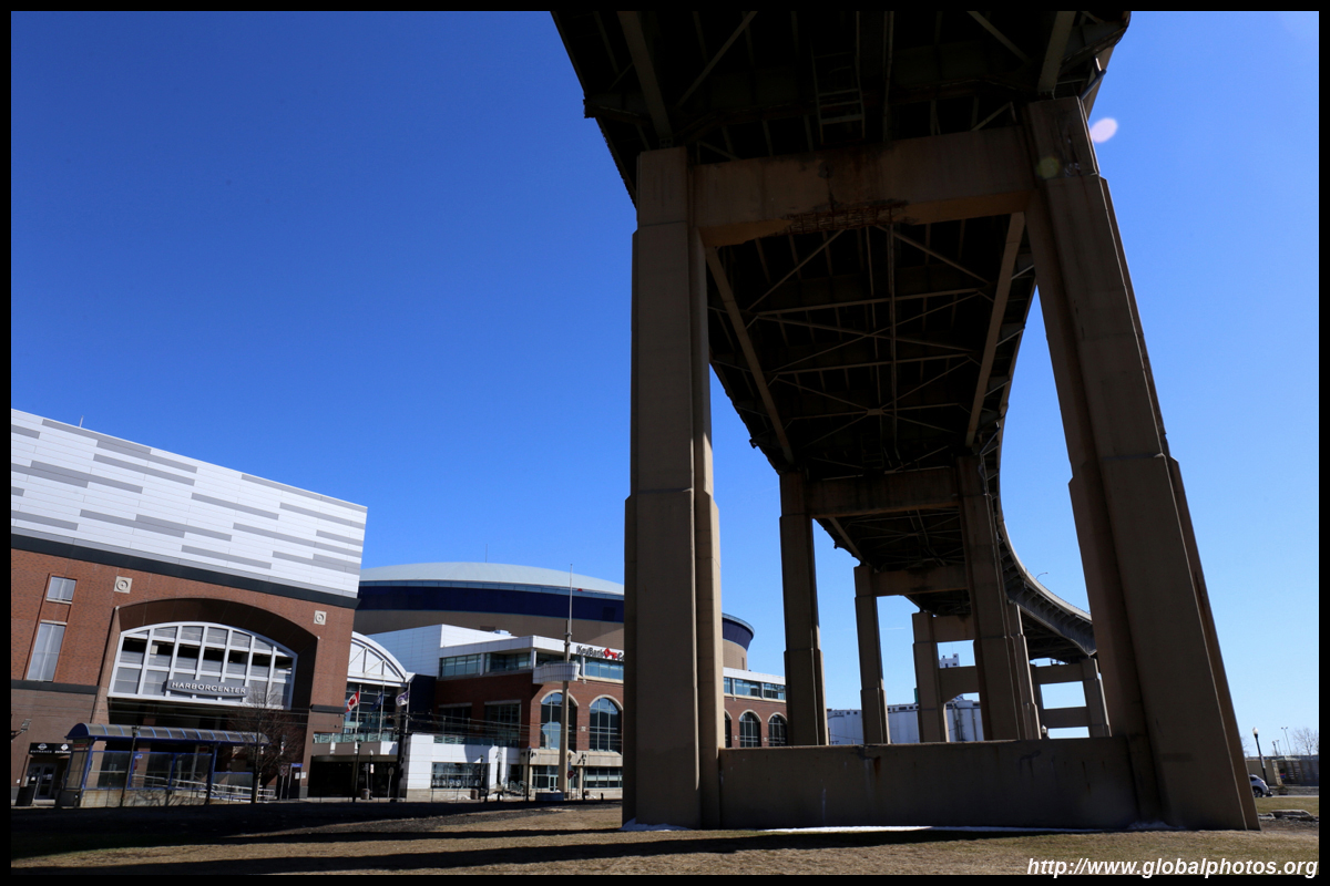
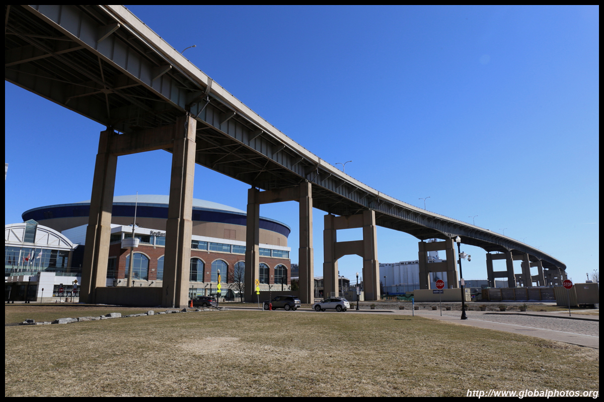
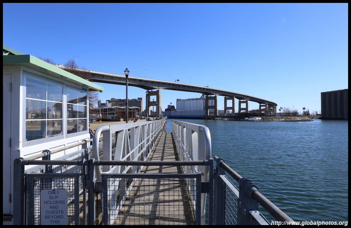
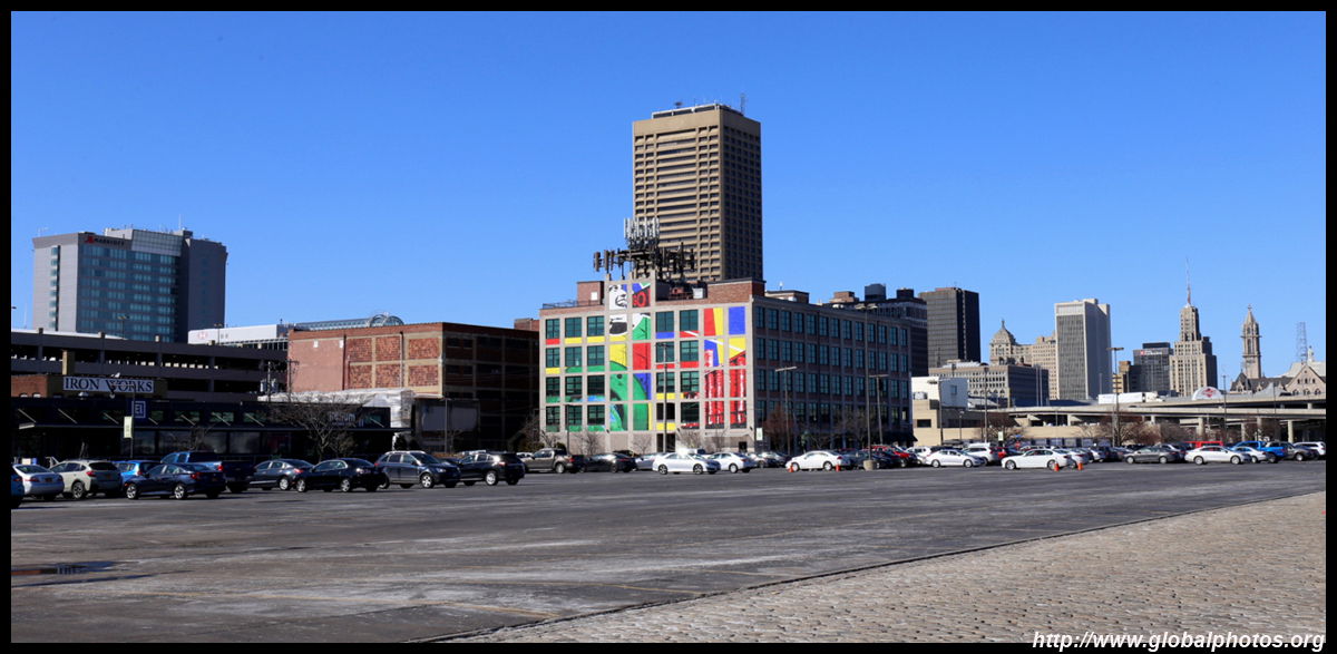
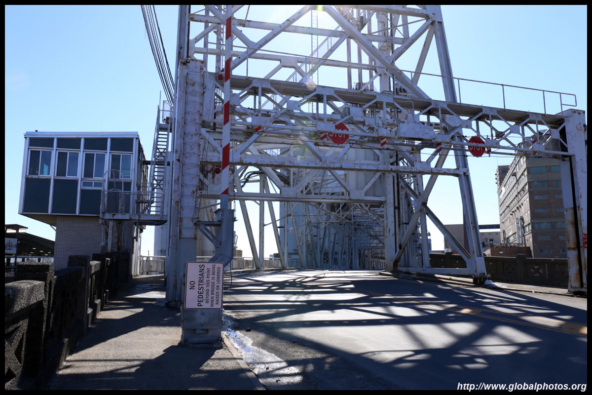
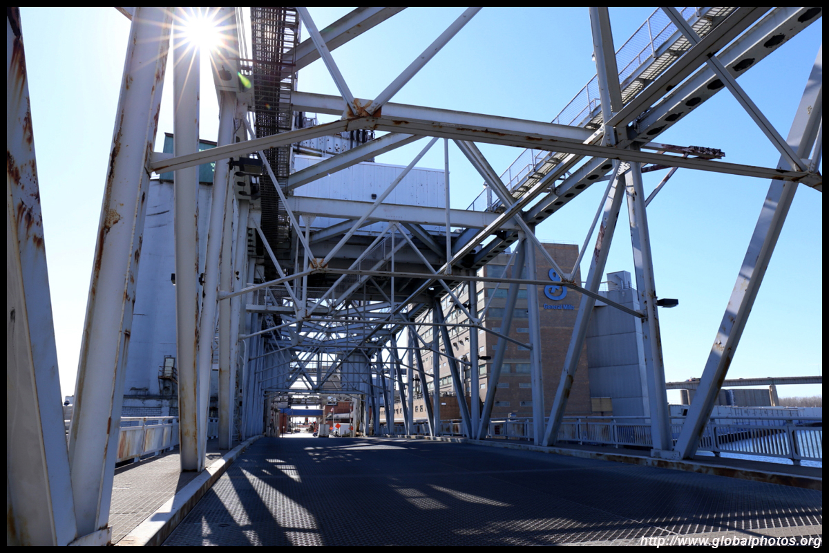
The Erie Canal was built in the early 19th century and it ended in Buffalo. Being a major port between the Great Lakes and the Atlantic, the city boomed around the riverside until the 20th century. The bustling riverside disappeared until 2005, when the government decided this area needed a revival.
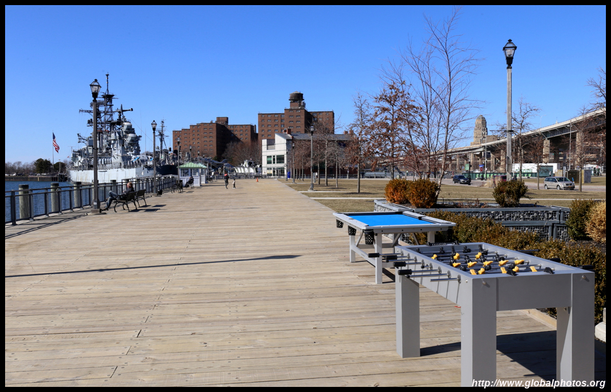
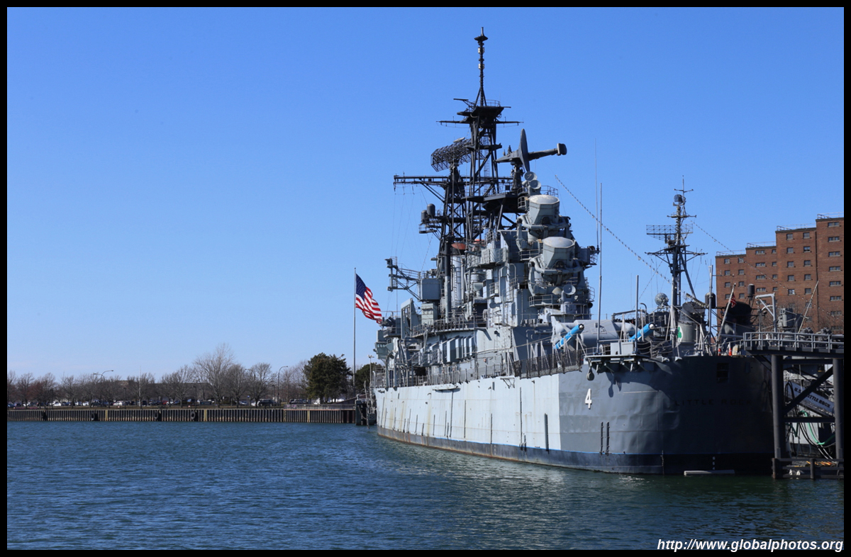
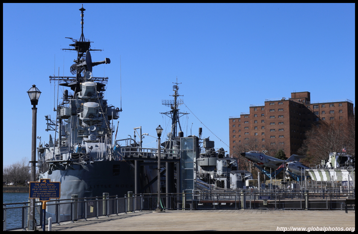
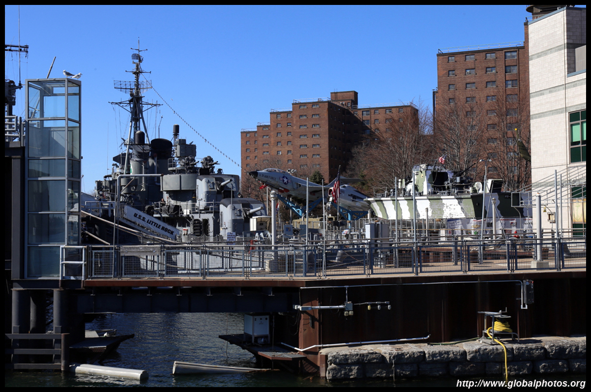
The Buffalo and Erie County Naval & Military Park hosts several decommissioned naval vessels, including the only guided missile cruiser on display in the country, USS Little Rock.
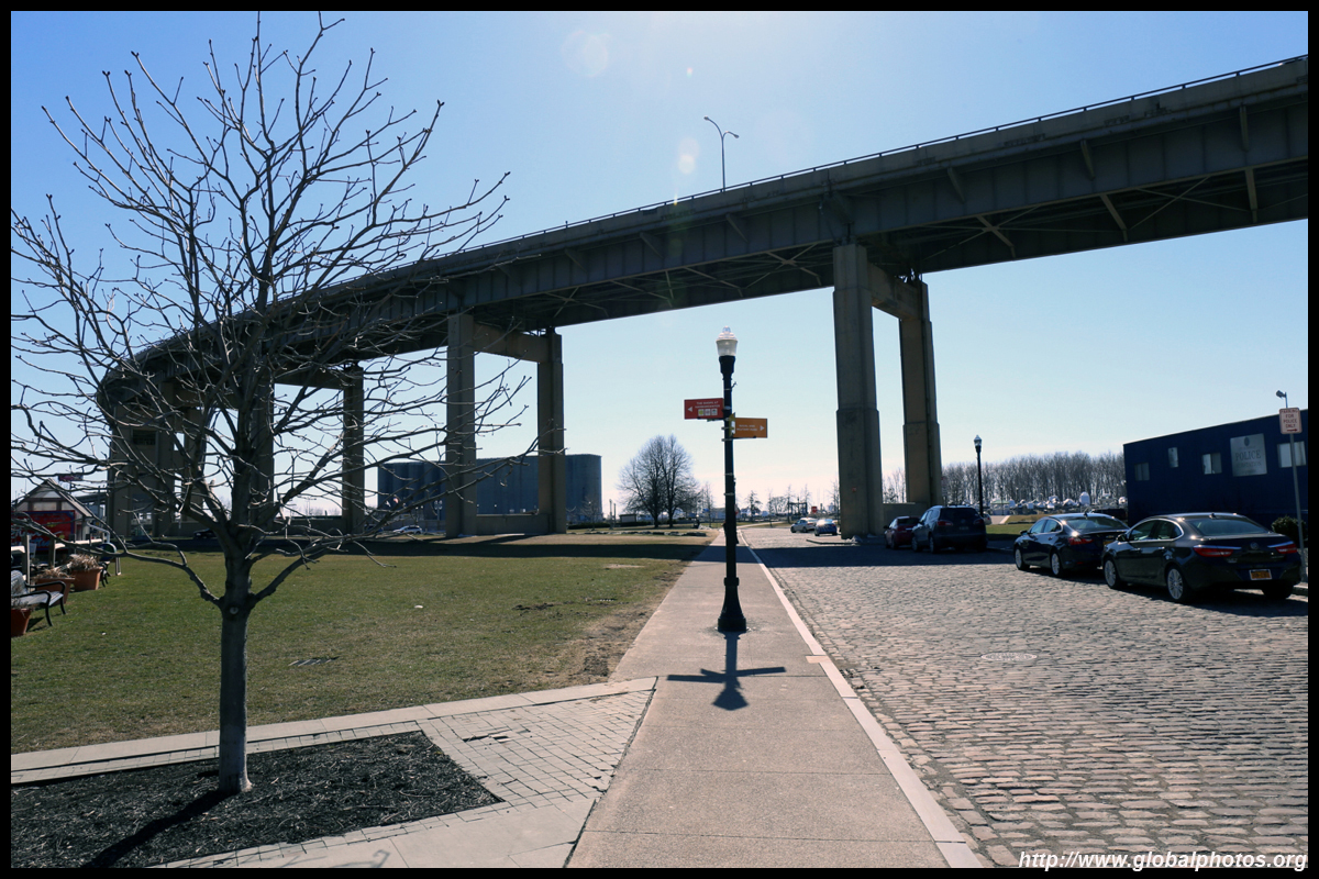
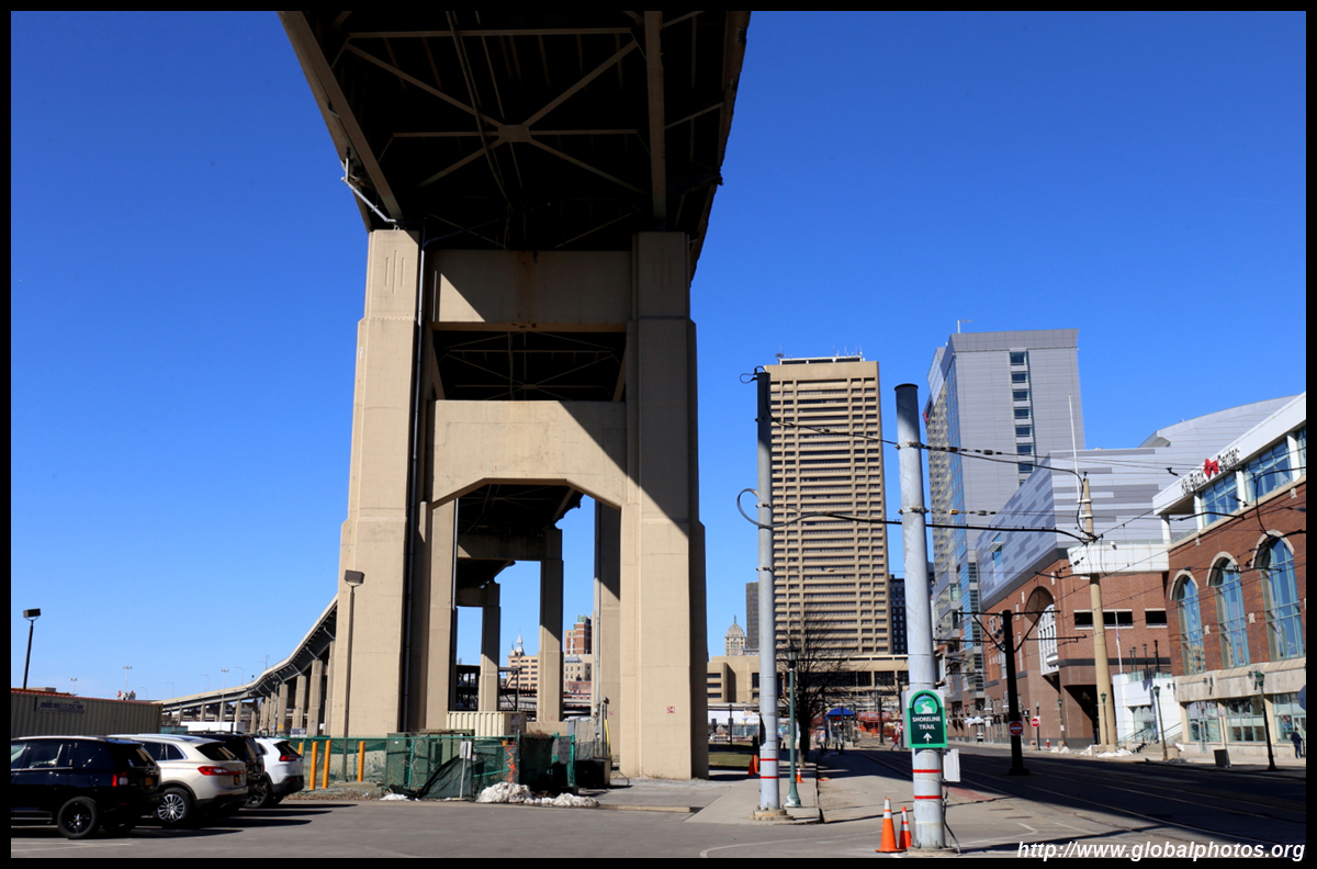
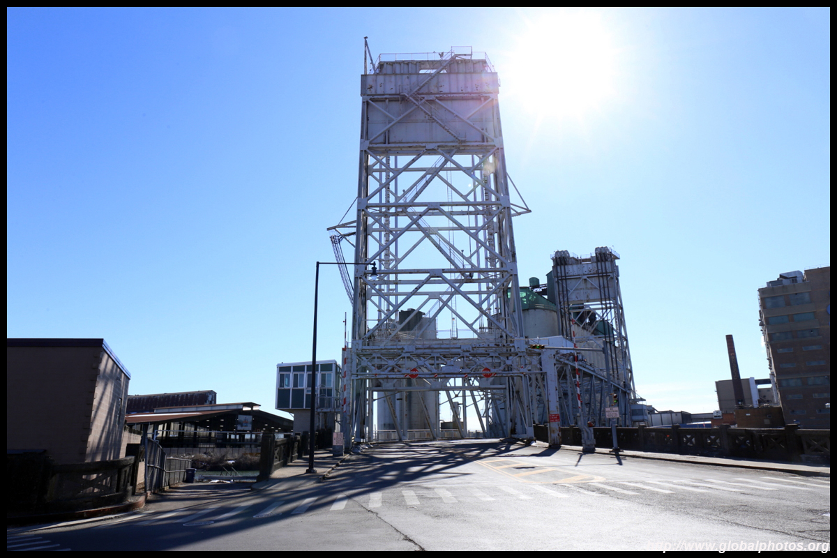
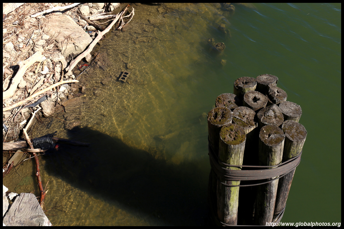
The nice riverfront promenade is quite short. To walk along the Erie Canal for a bit more, you need to venture into the side streets, pass through quiet intersections, and find your way to the water once again.
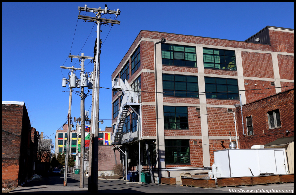
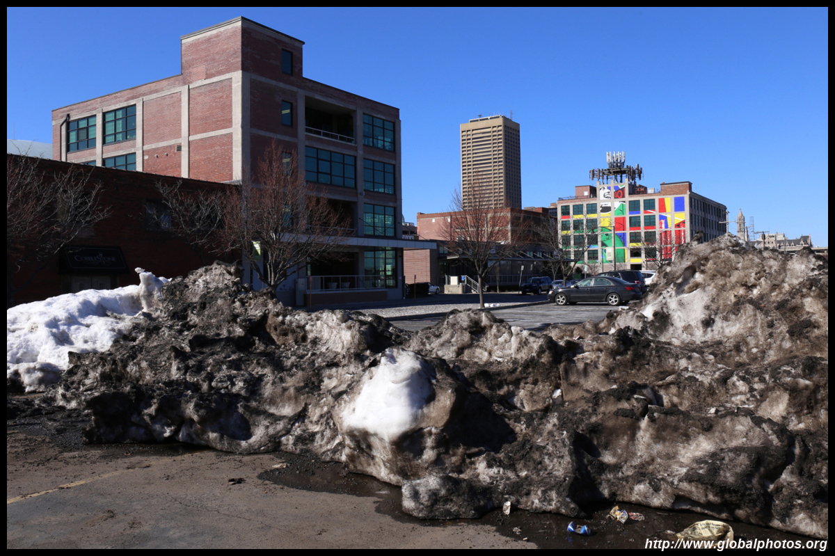
They still have some work to go to revitalize the area.
|
|||