Hong Kong Photo Gallery - Devil's Peak

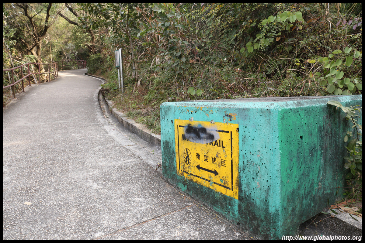
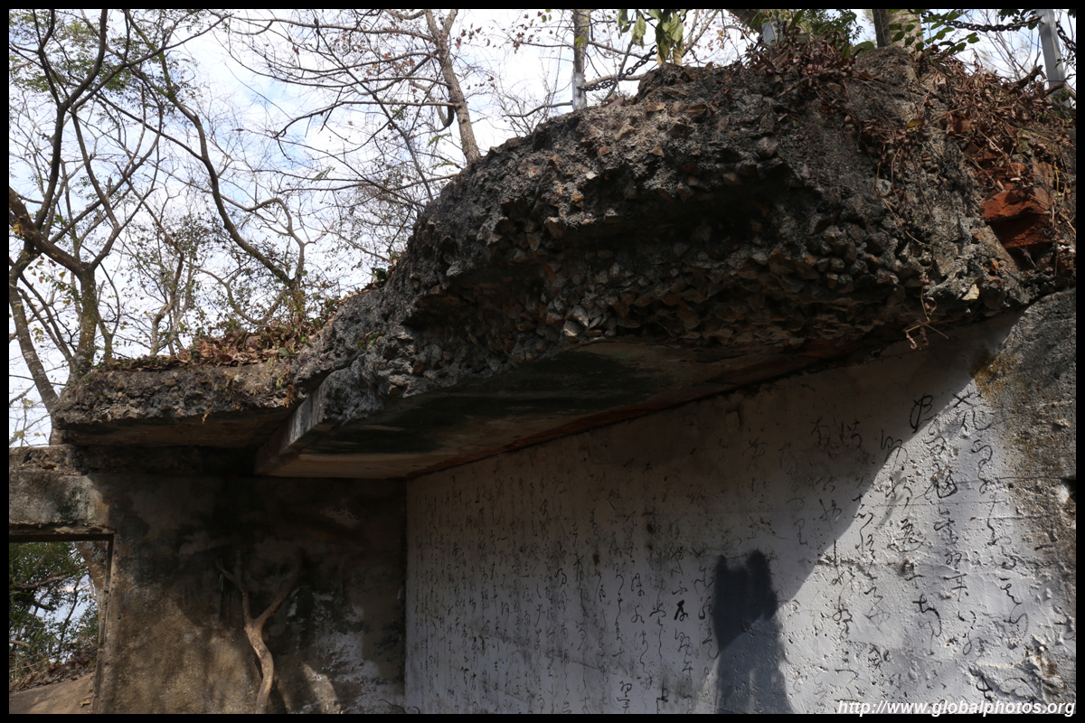
Devil's Peak is an easily accessible hike from the city with harbour views. While it is a popular spot for sunset, it is also a good place to photograph the skyline during the morning when the sun is behind you. In addition to the vantage point, a series of defense fortifications in various states of ruin are scattered along the hillside. The redoubts date around the early 20th century and they played a major role during World War II in the harbour defense against the invading Japanese.From Yau Tong station, head into the Domain shopping mall and exit on the other side at Ko Chiu Road. Cross the street and turn left. Past the public housing estate and the roundabout, you will see a road heading uphill on your right. This will lead you to the starting point along the Wilson Trail Stage 3.
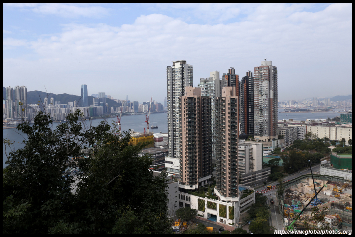
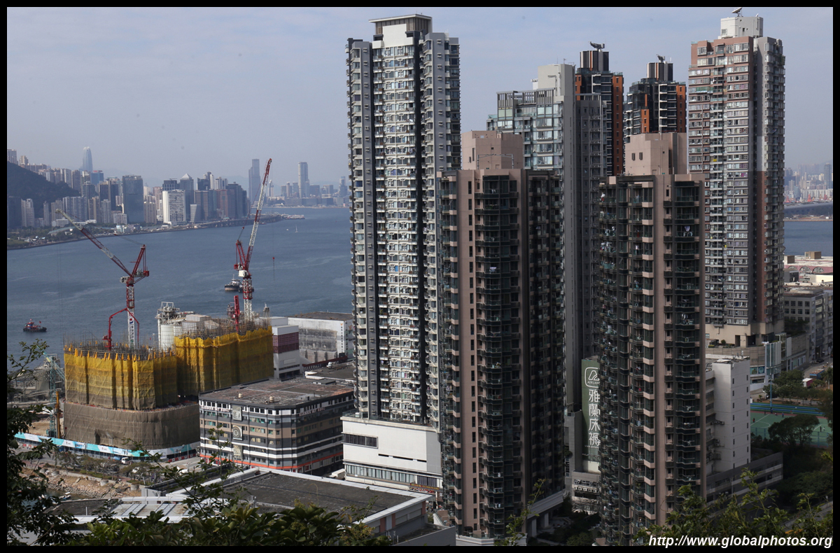
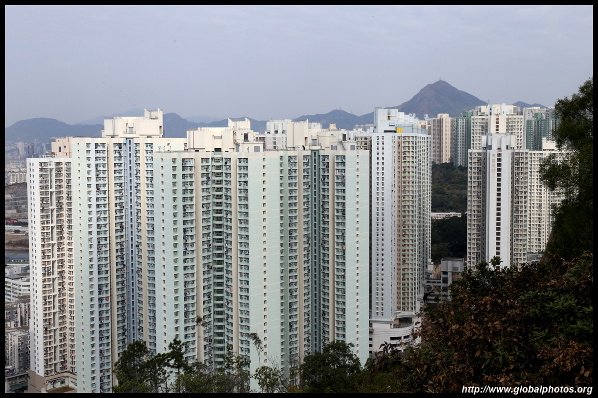
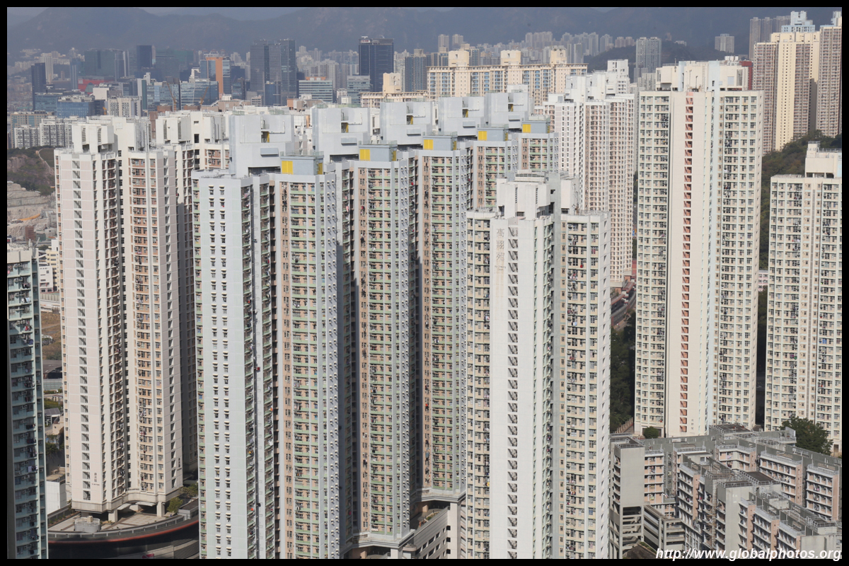
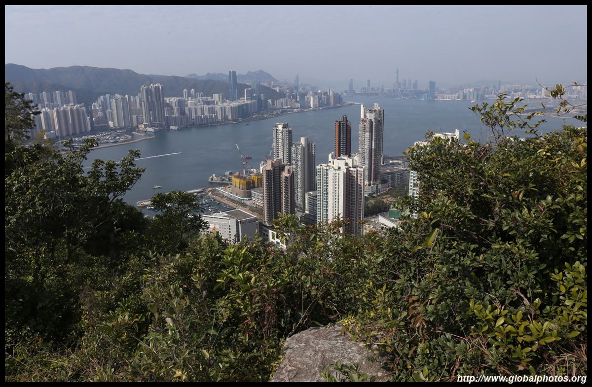
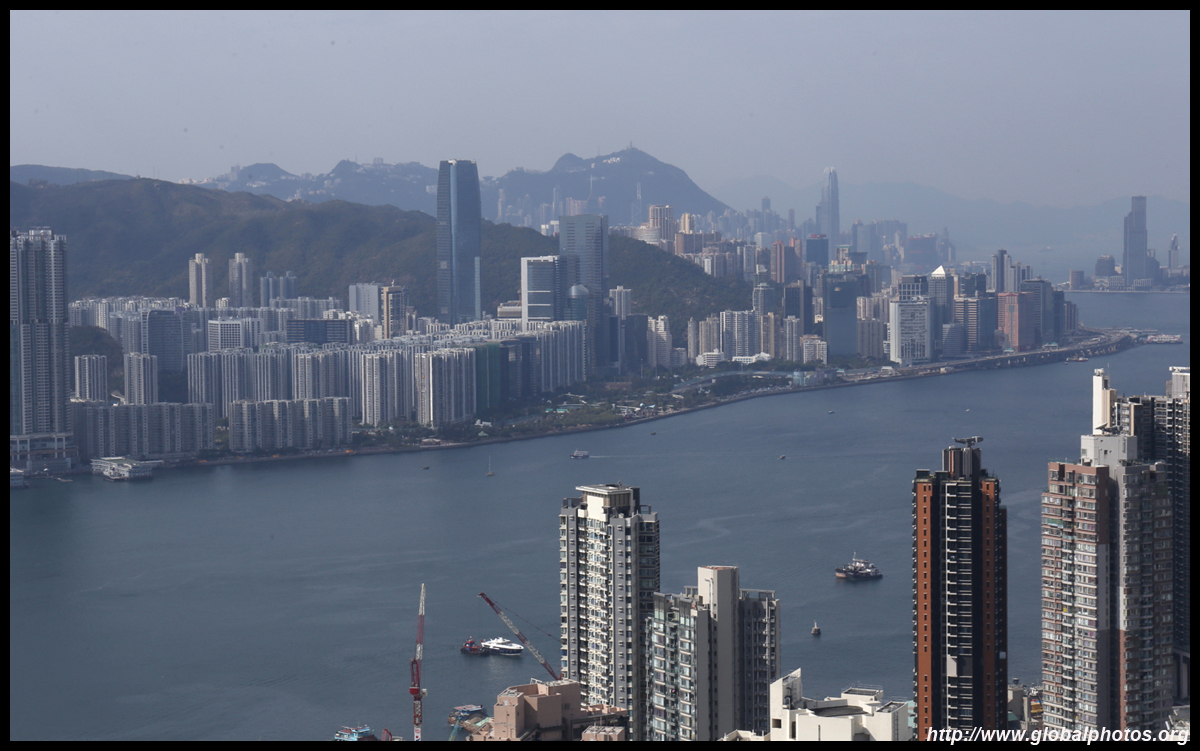
Yau Tong station is actually quite near the harbour, and you can spot the skyline even from the station concourse. The area around the Sam Ka Tsuen Typhoon Shelter is seeing a lot of redevelopment activity. The fishing village with its typical lowrise shacks is still intact, but the other side where industrial buildings once stood is being transformed with one residential highrise after another.
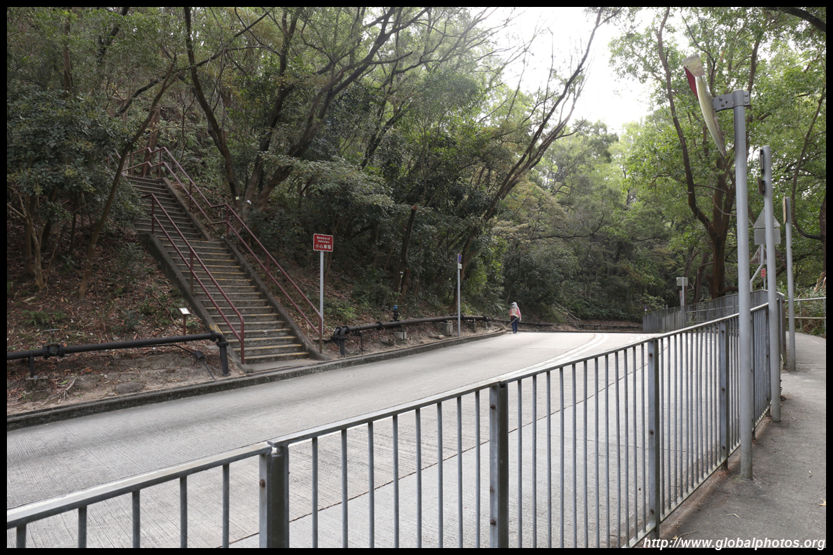
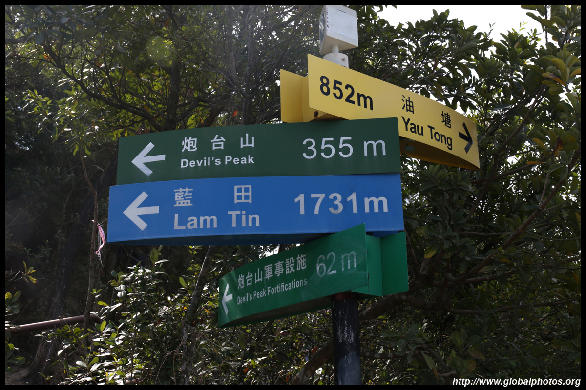
After a long uphill walk, you will notice an information sign and a staircase to the left. That's the access to Devil's Peak.
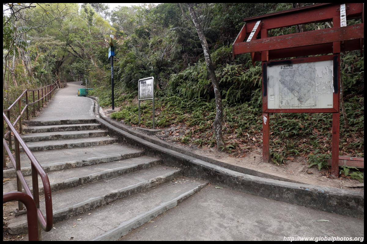
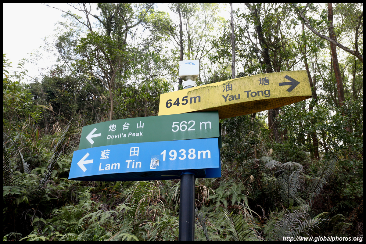
No need to worry about interpreting the map. Just follow the signs to the top.
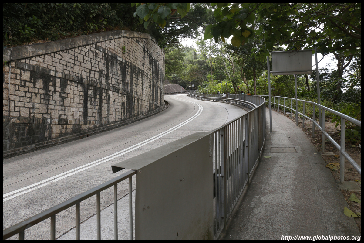
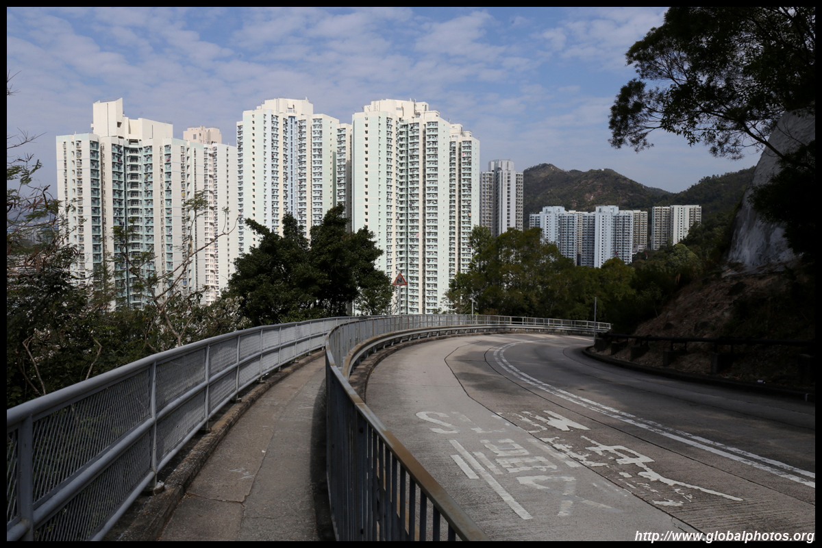
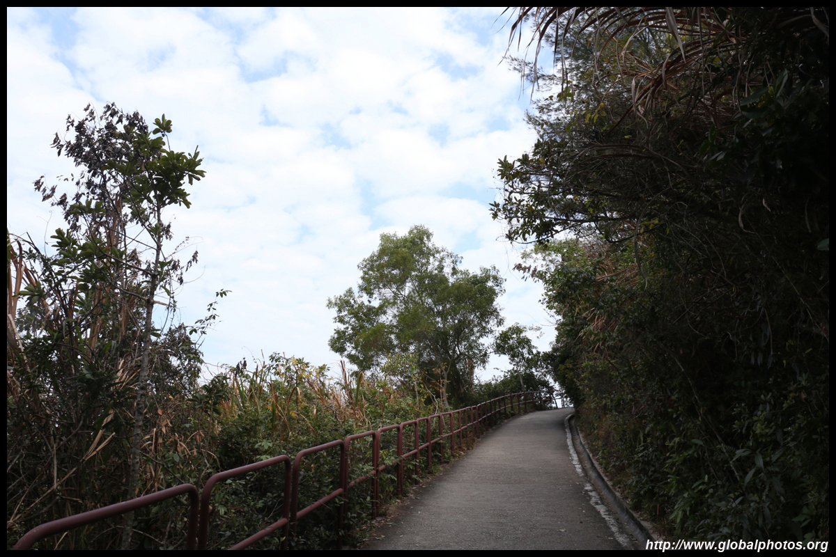
The rest of the way is fairly straight forward, not difficult, and regularly sign-posted. At about 200m, this is a relatively short hike and you should reach the top within an hour of exiting the train station.
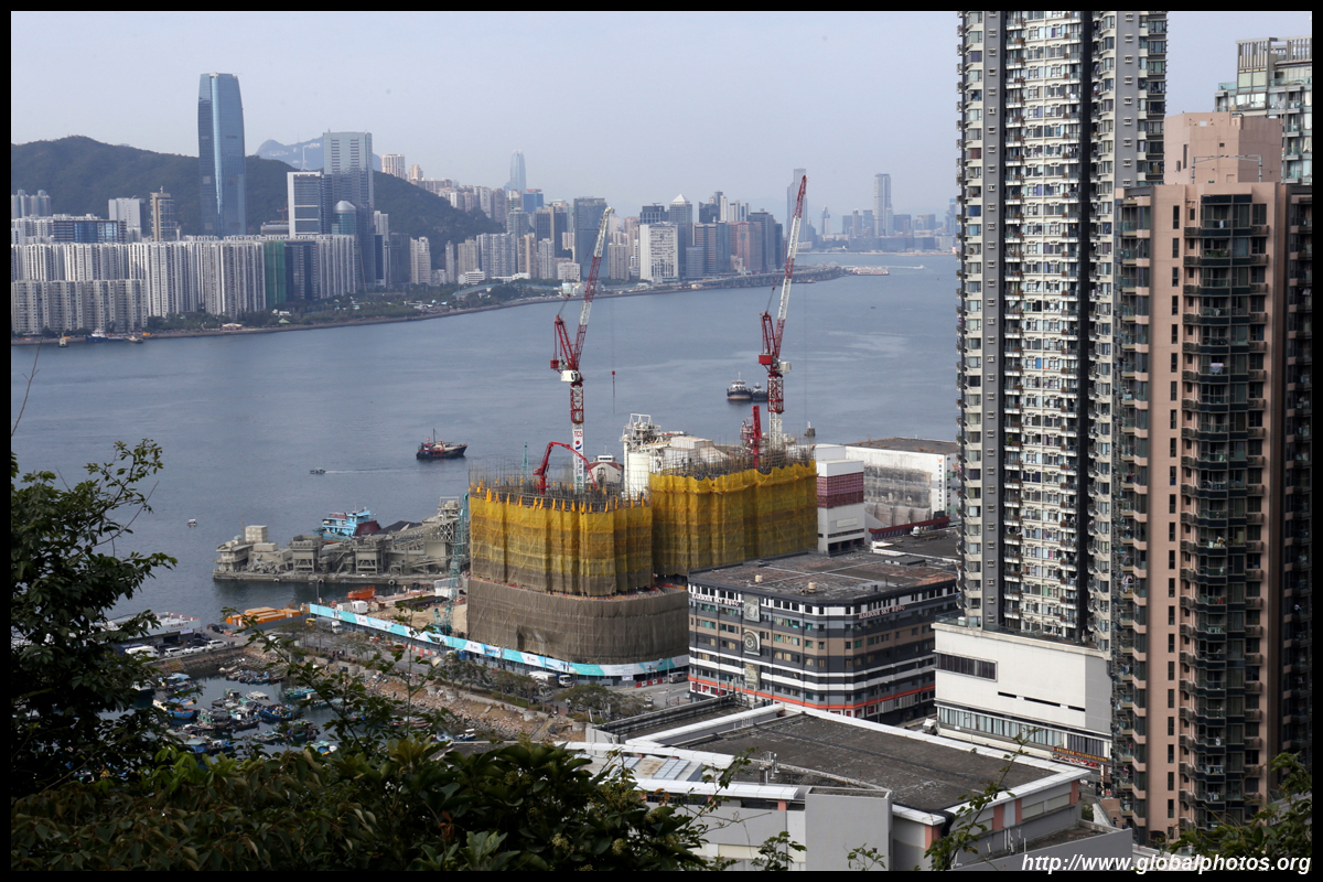
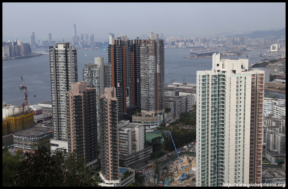
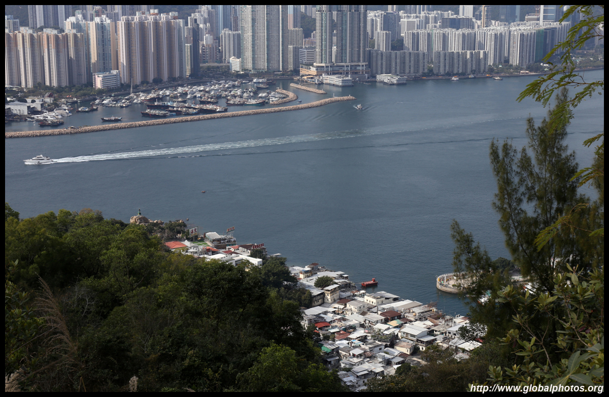
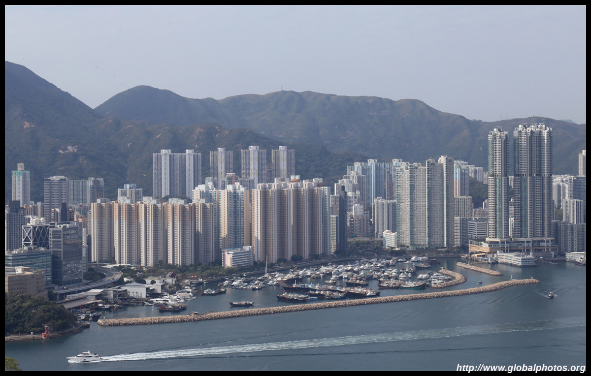
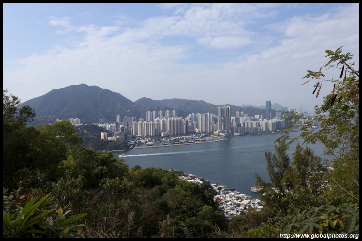
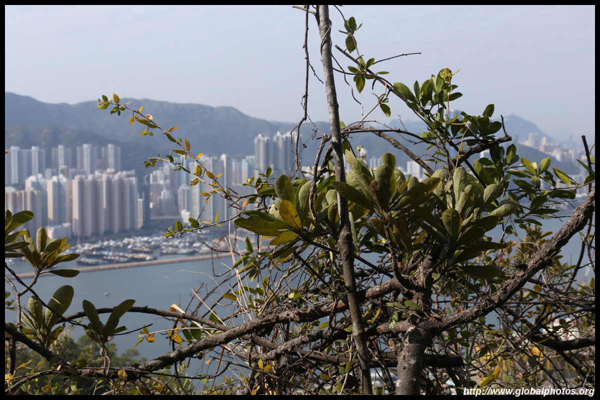
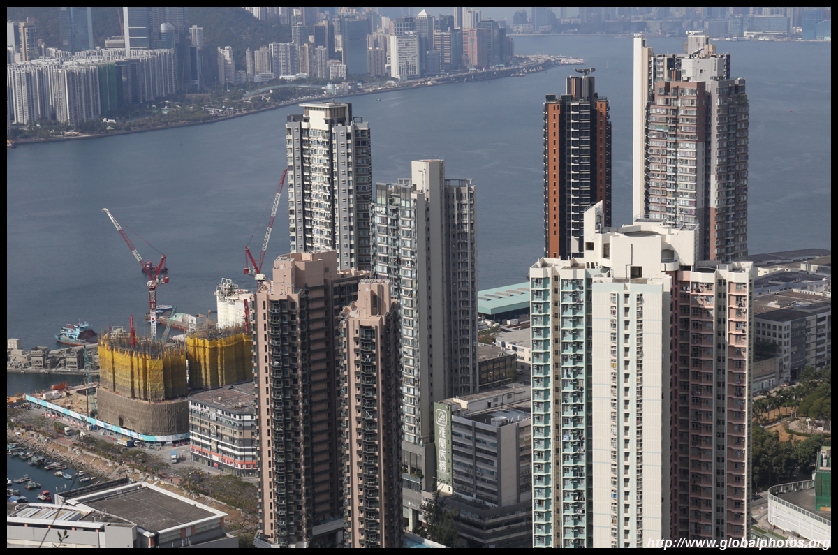
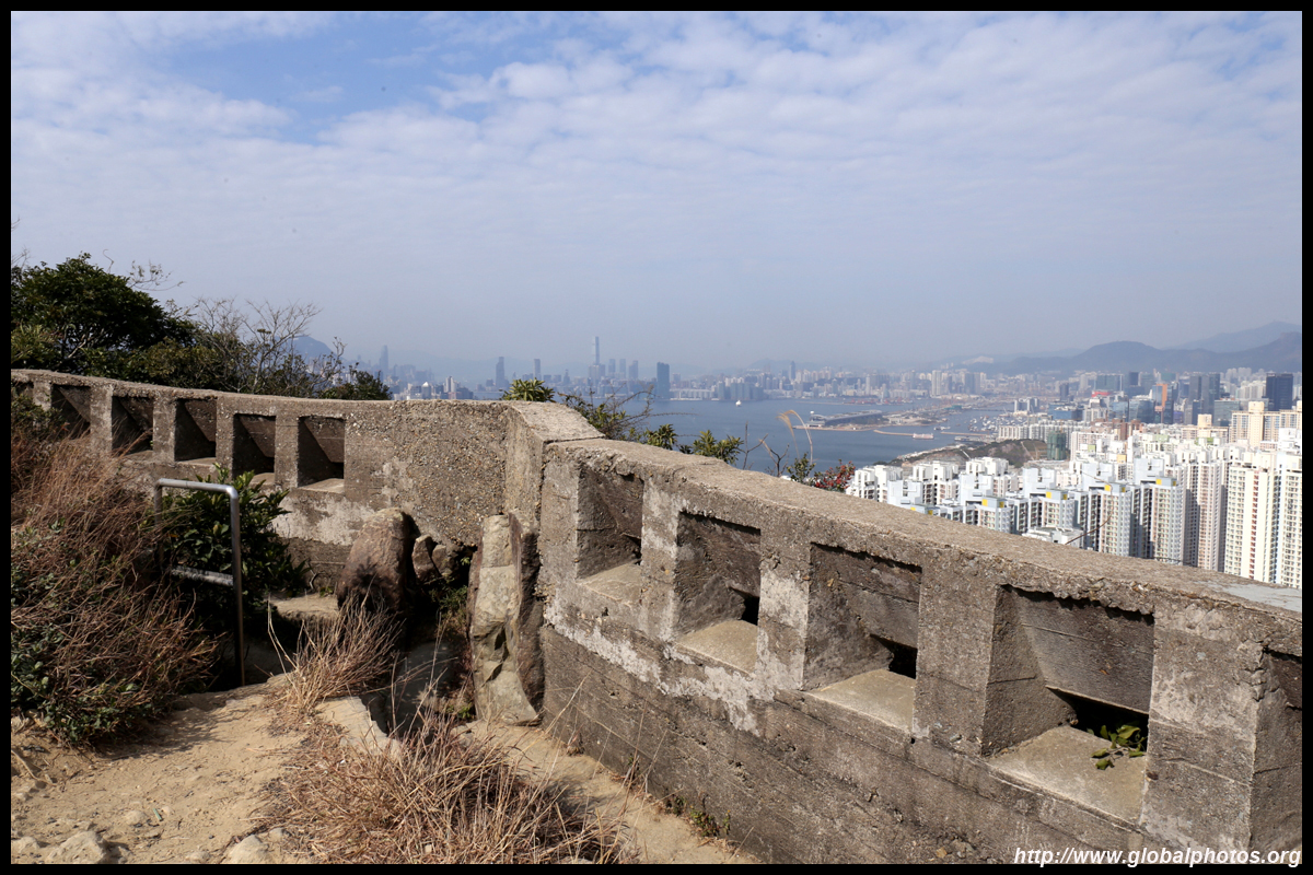
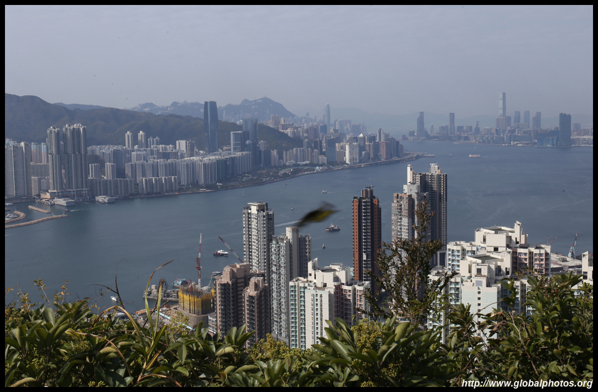
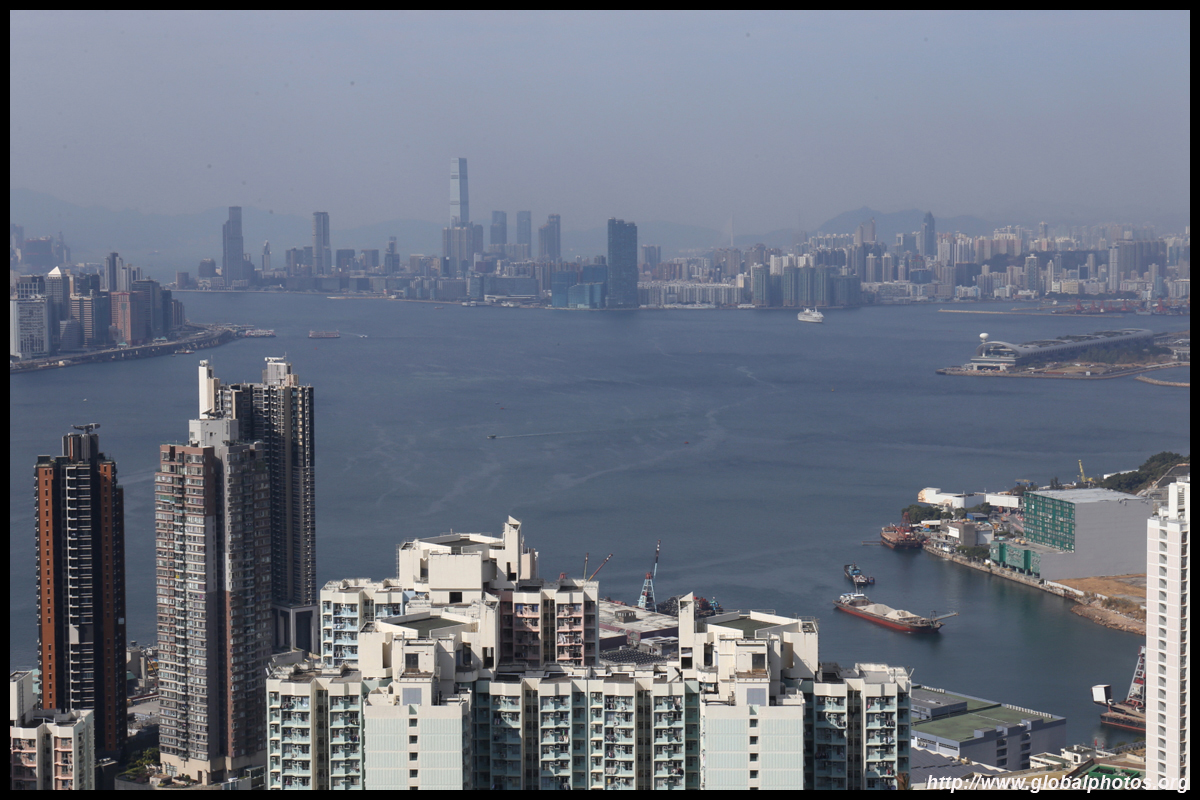
With good visibility and the morning sun behind you, it is easy to spot the cruise terminal and the city's tallest building across town.
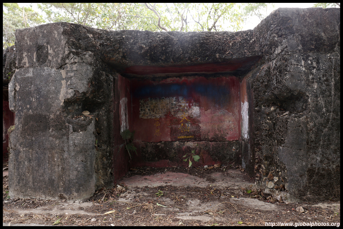
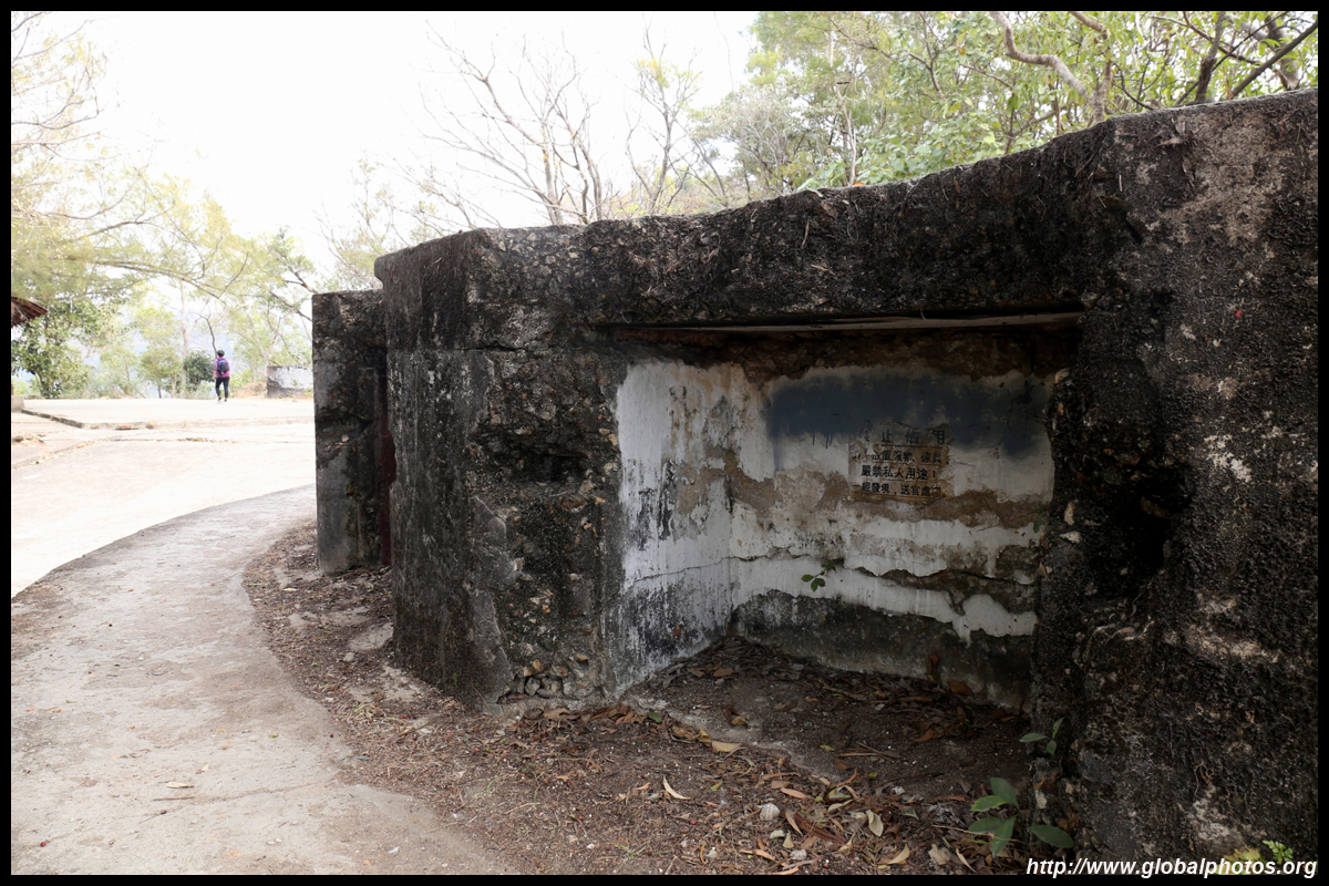
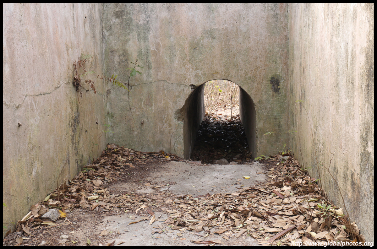
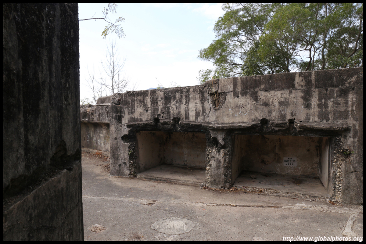
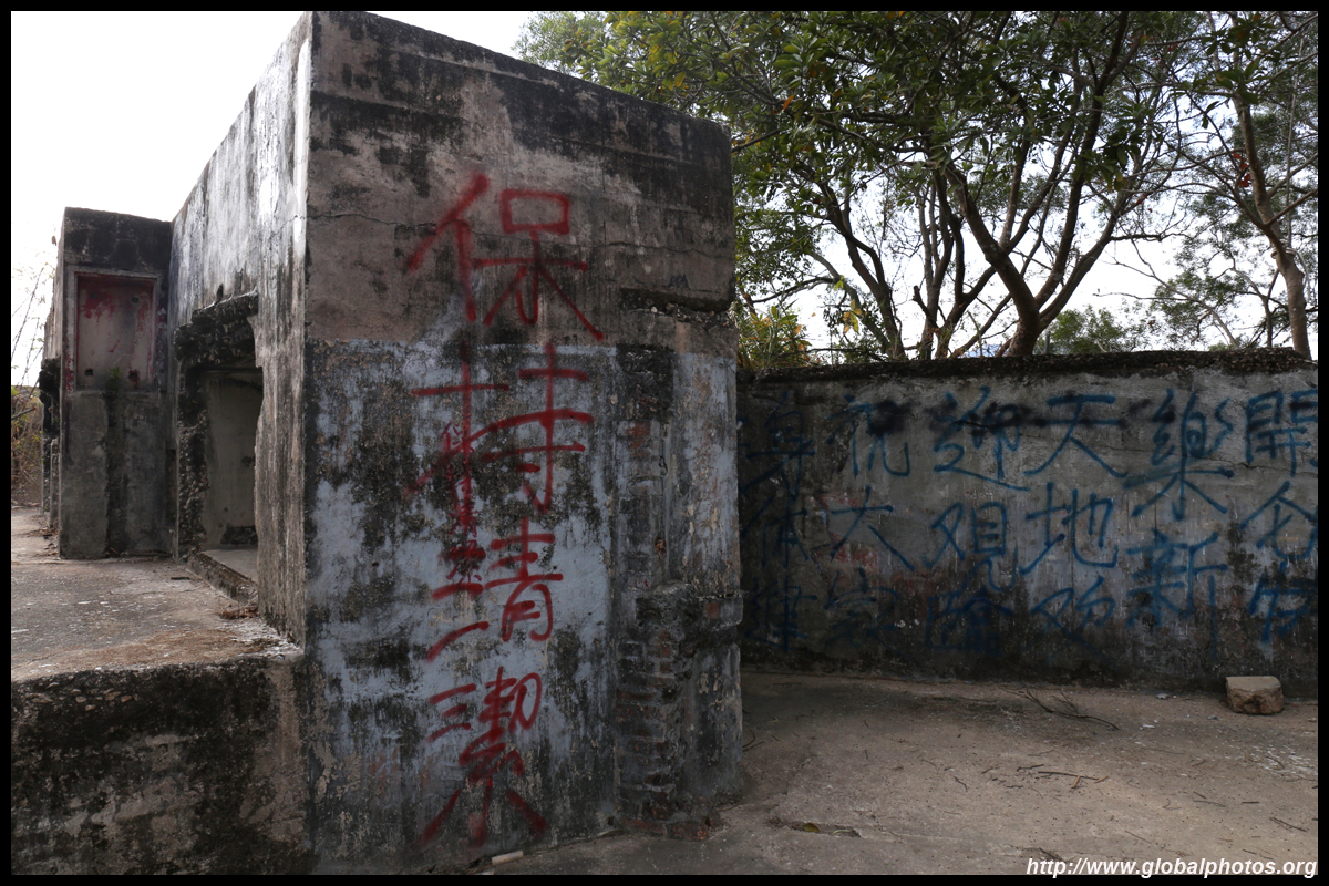
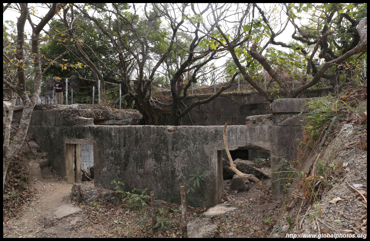
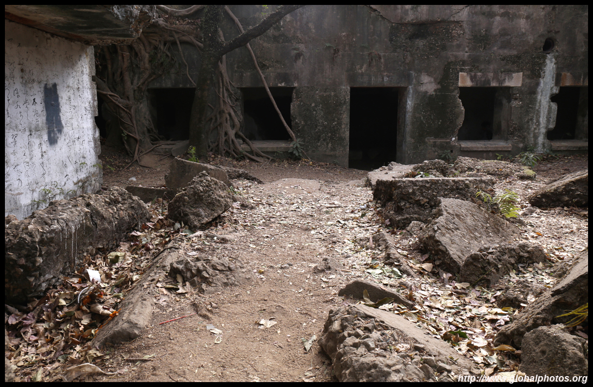
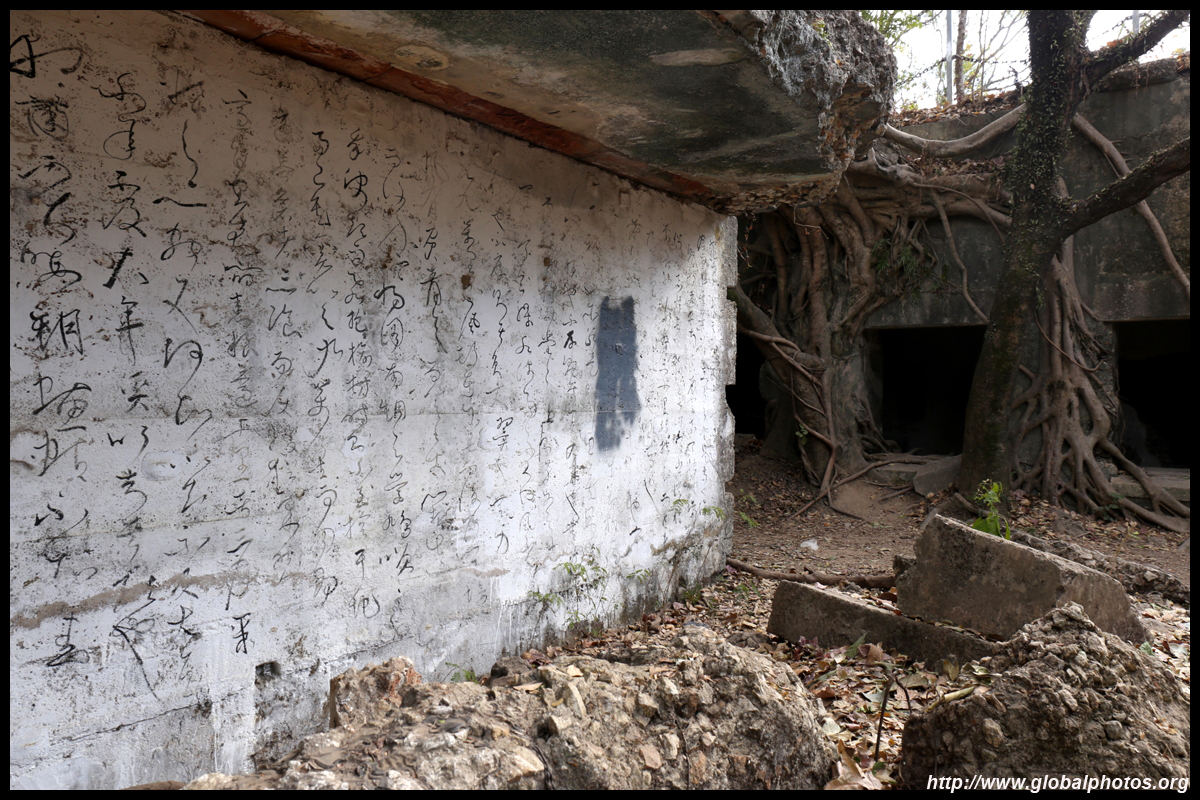
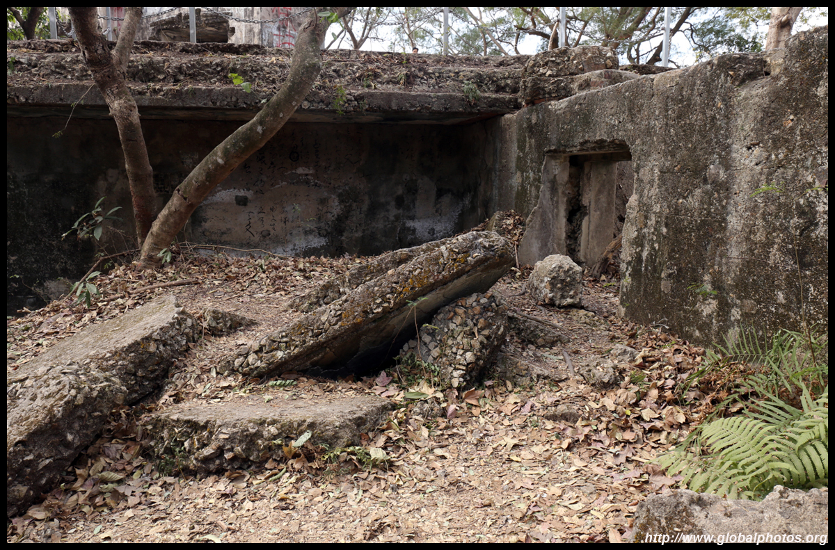
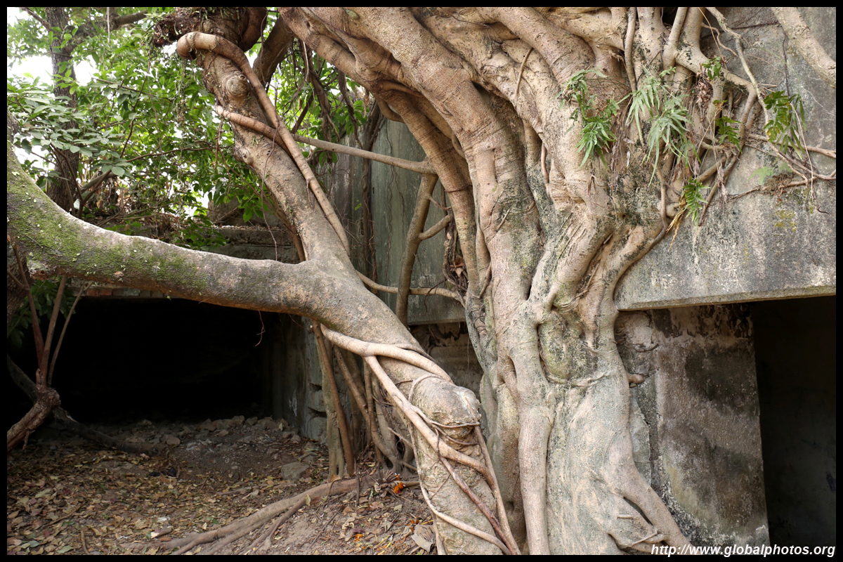
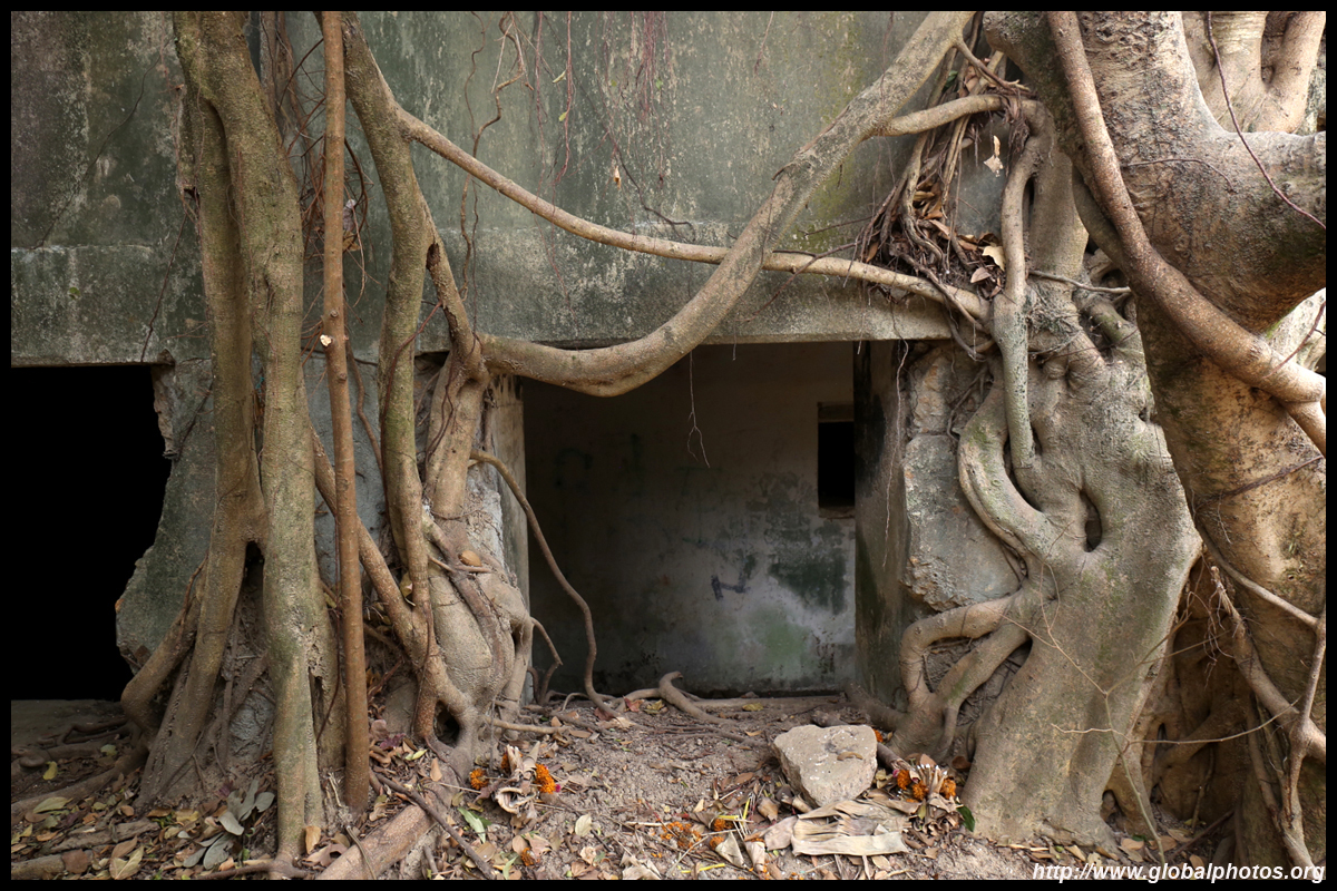
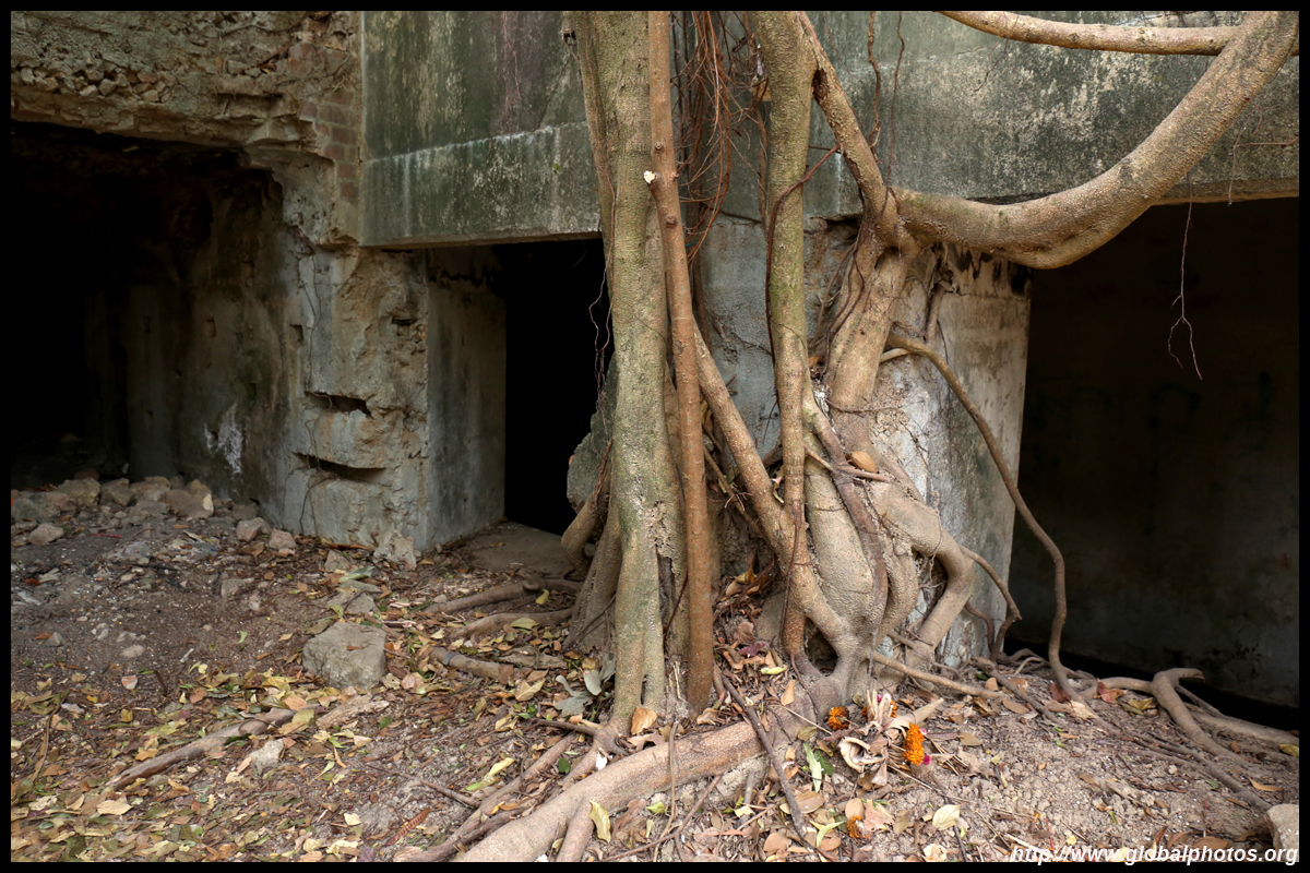
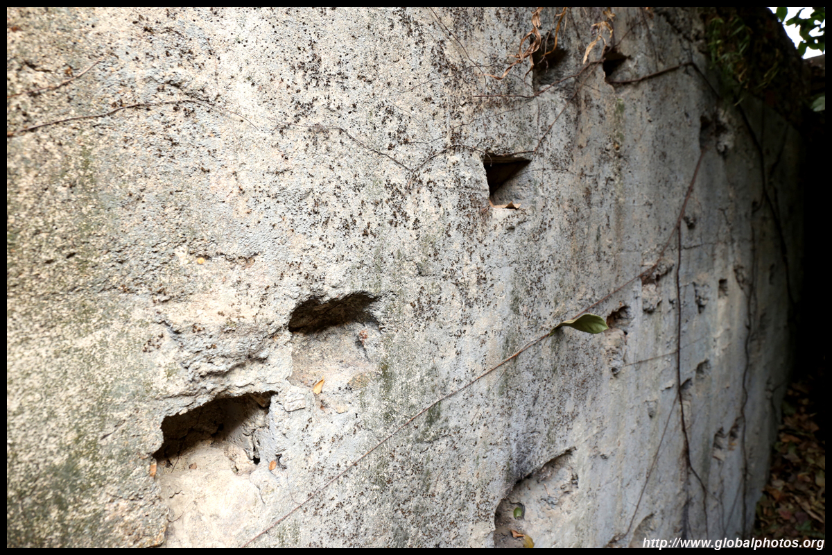
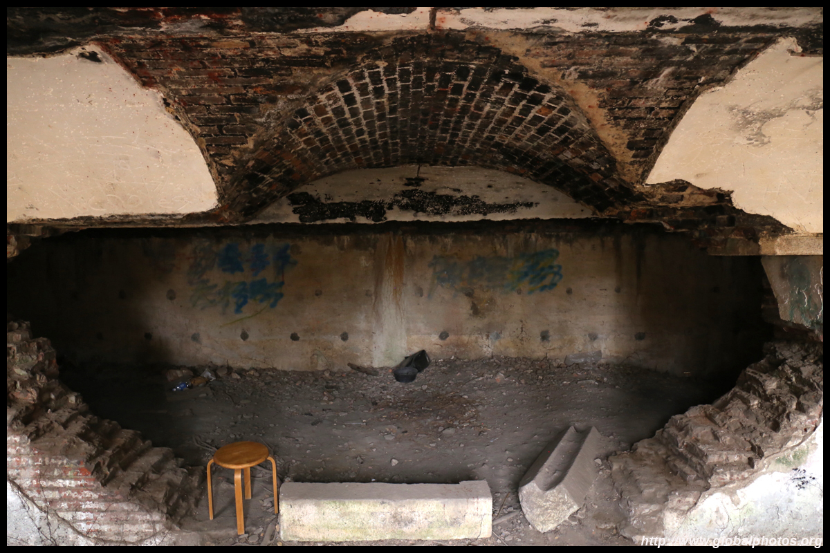
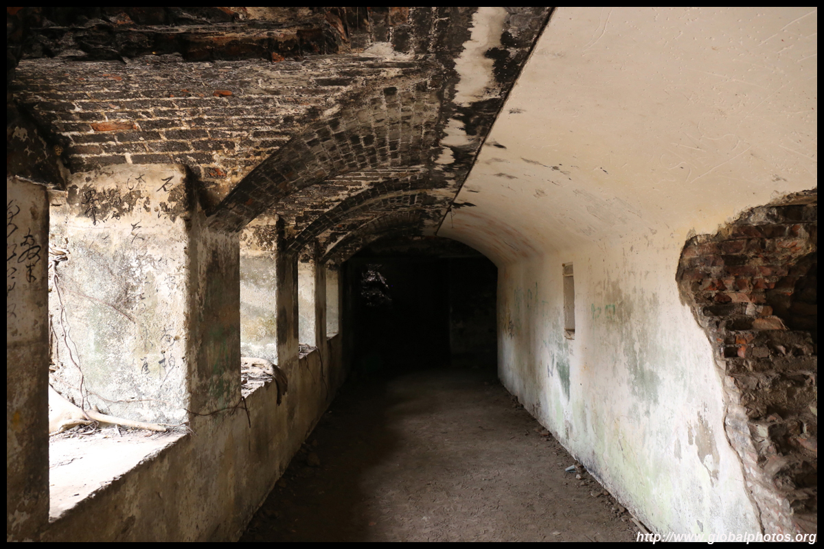
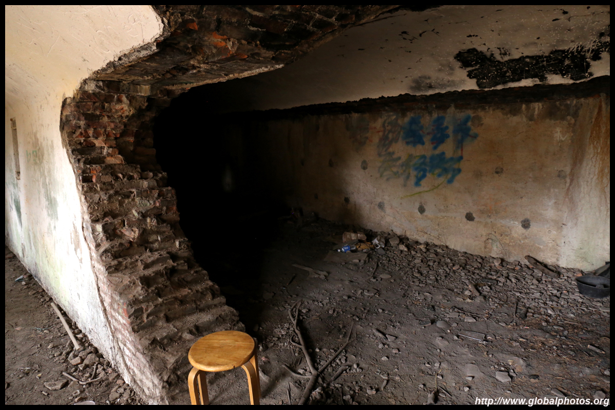
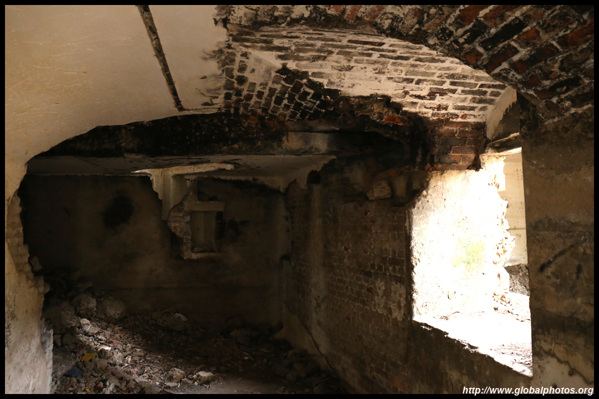
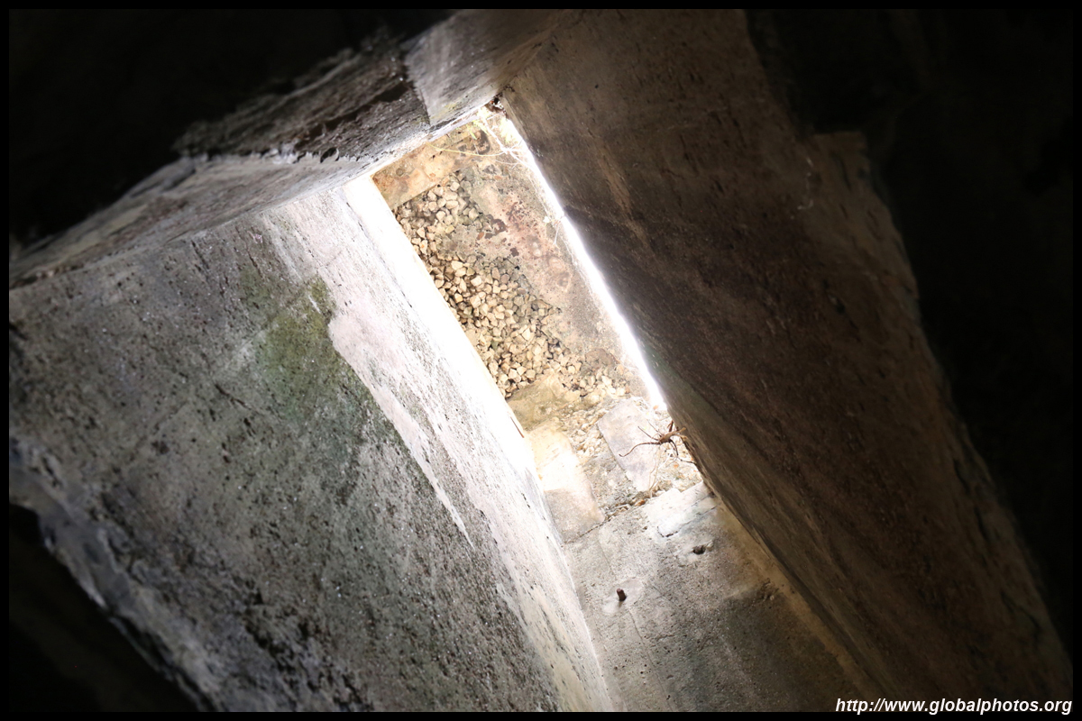
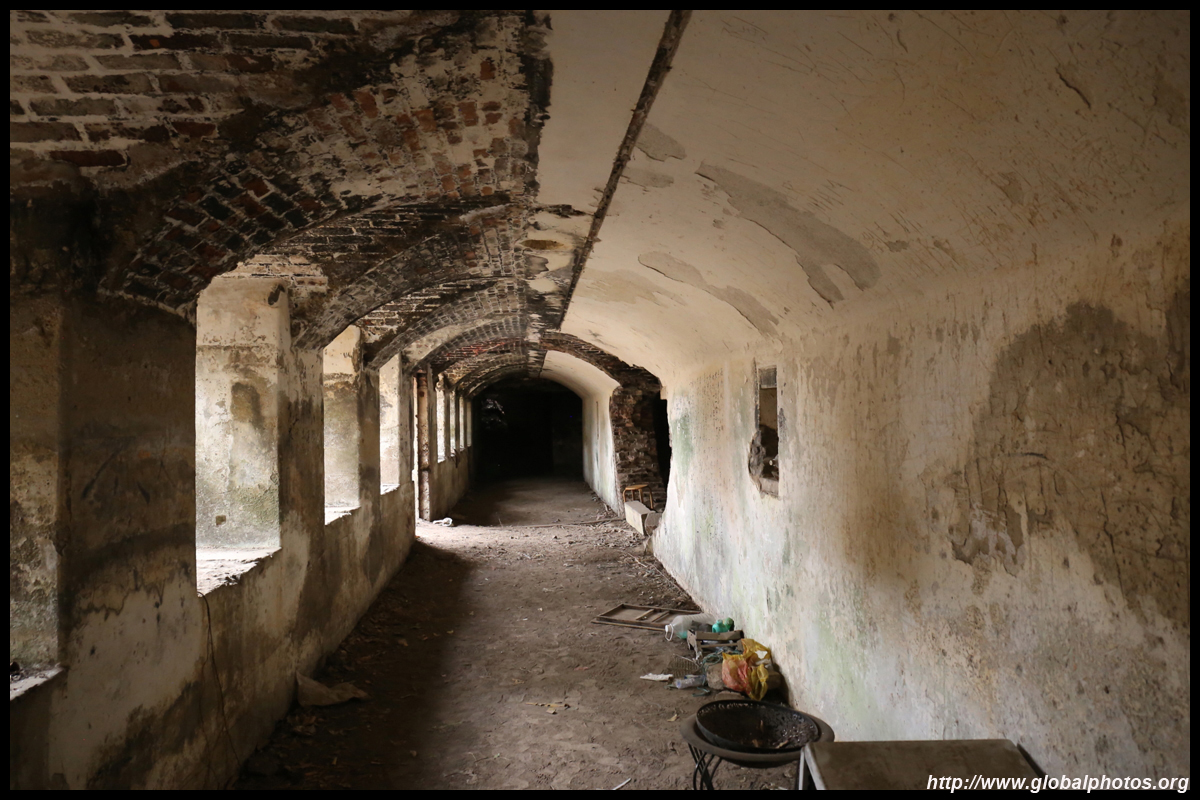
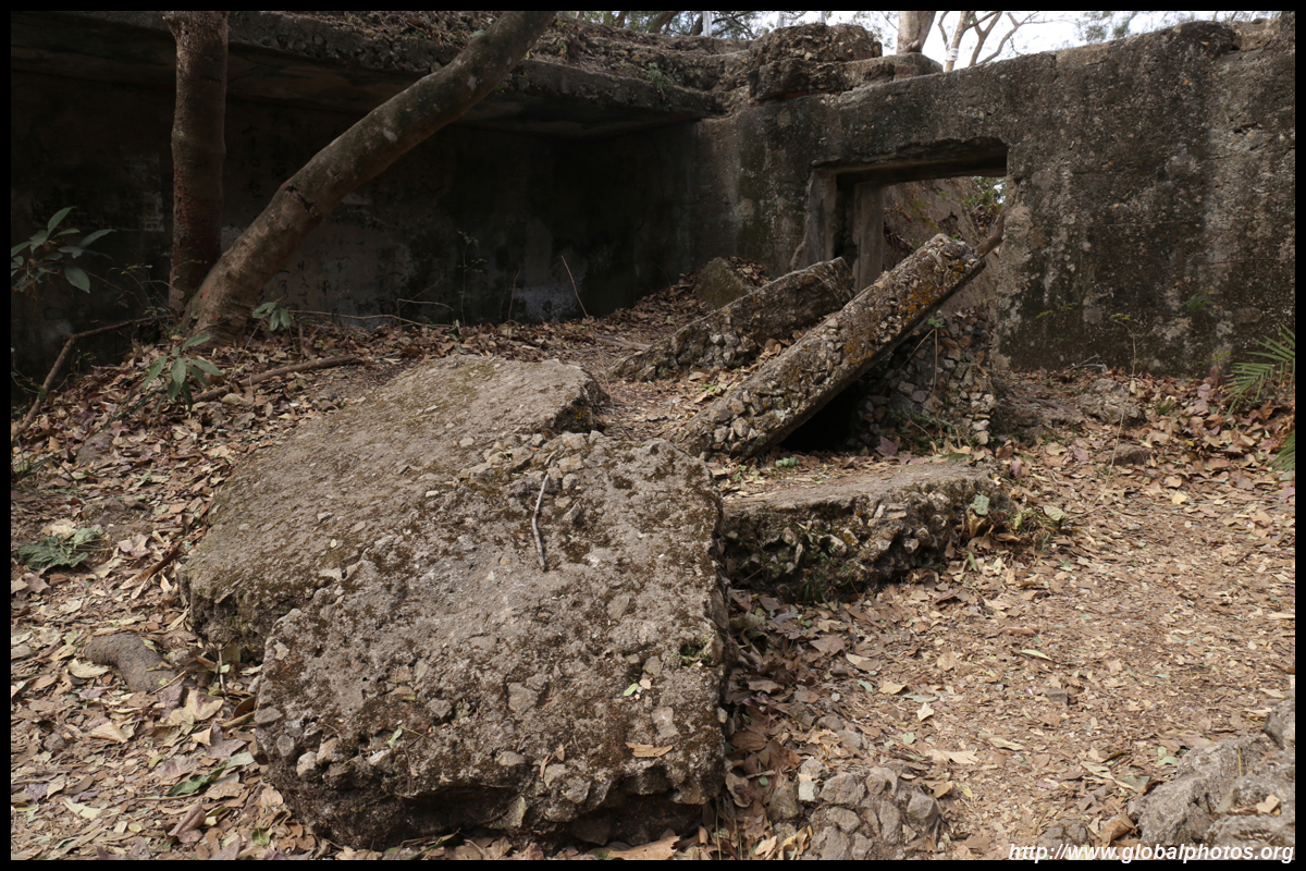
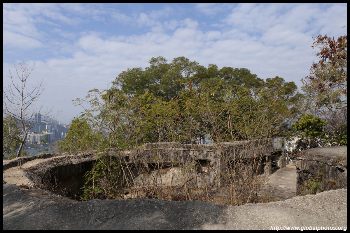
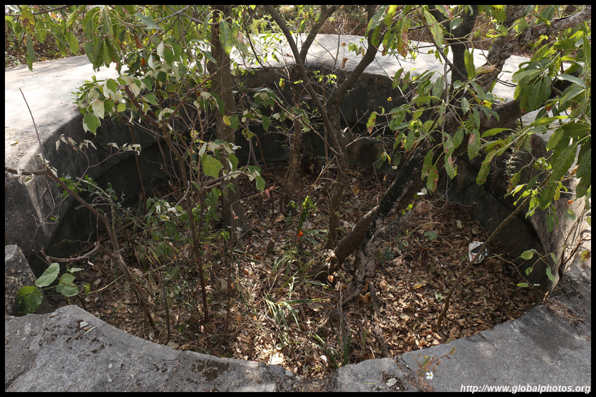
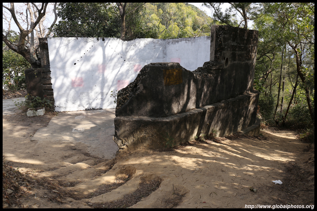
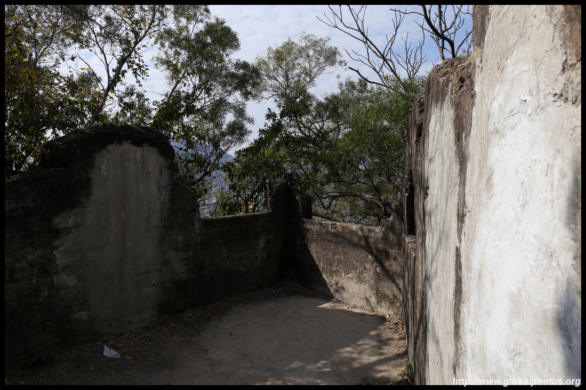
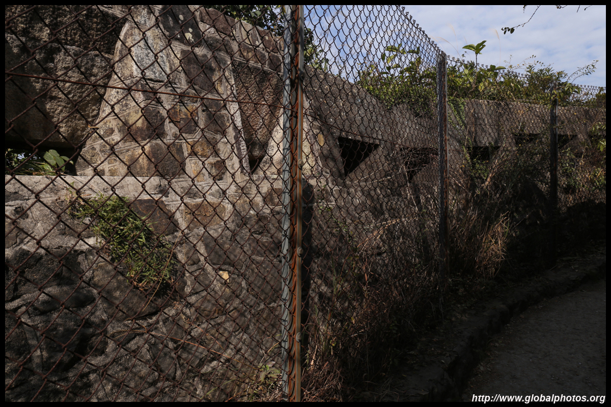
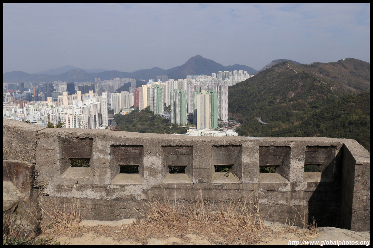
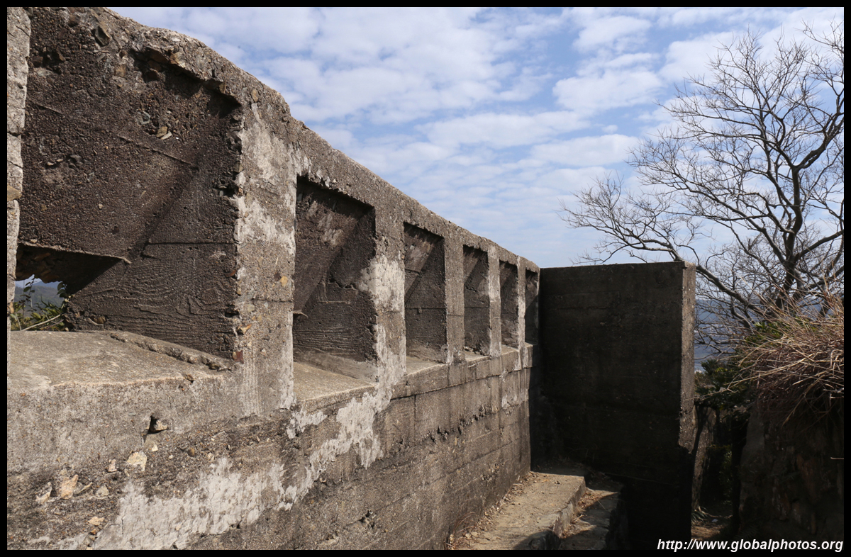
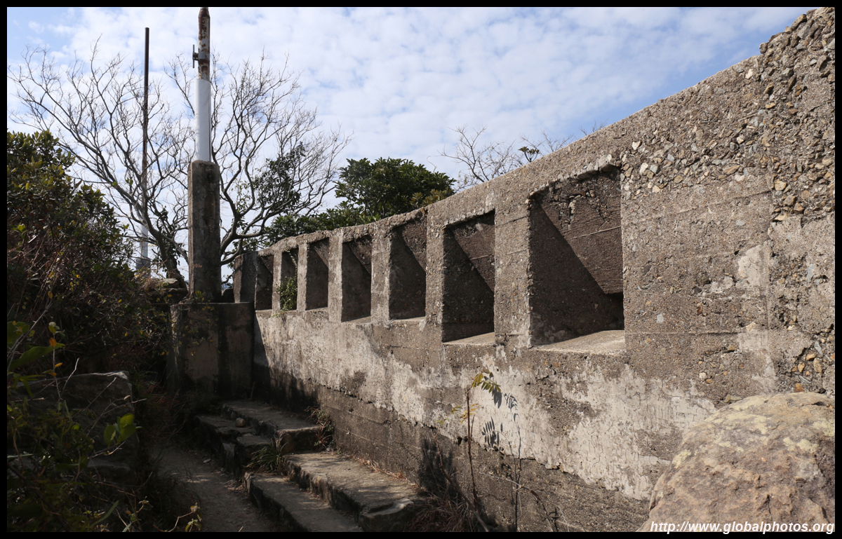
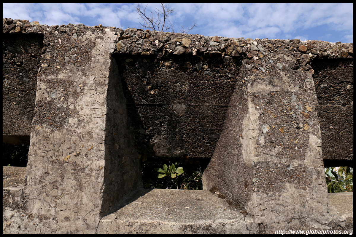
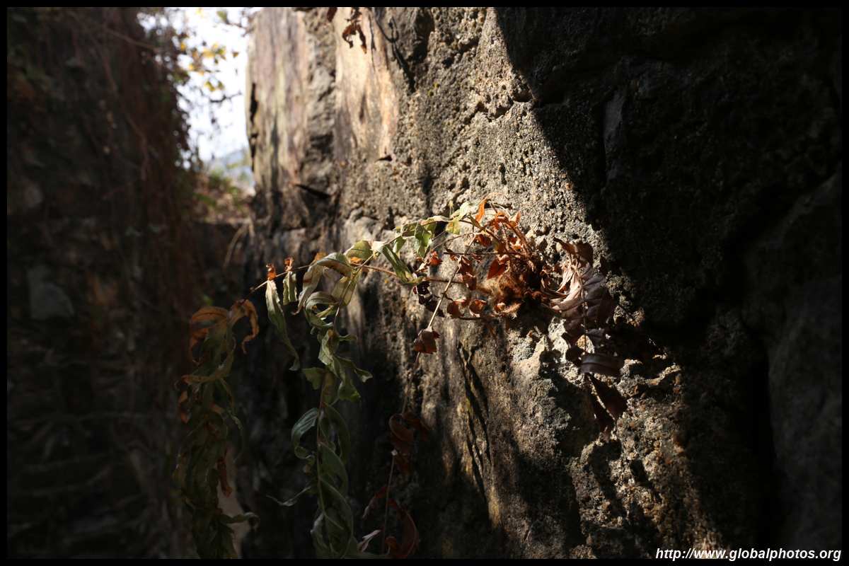
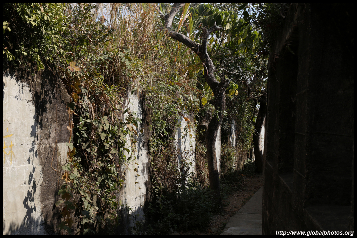
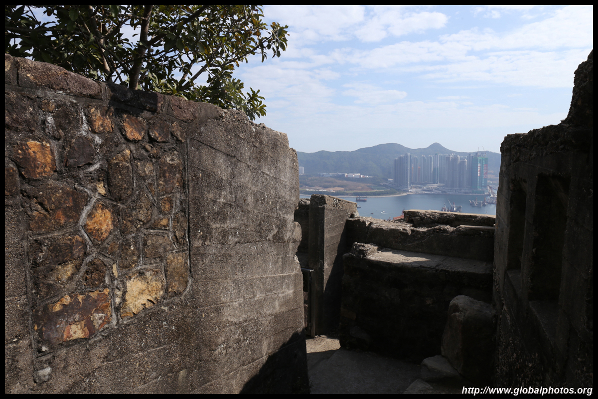
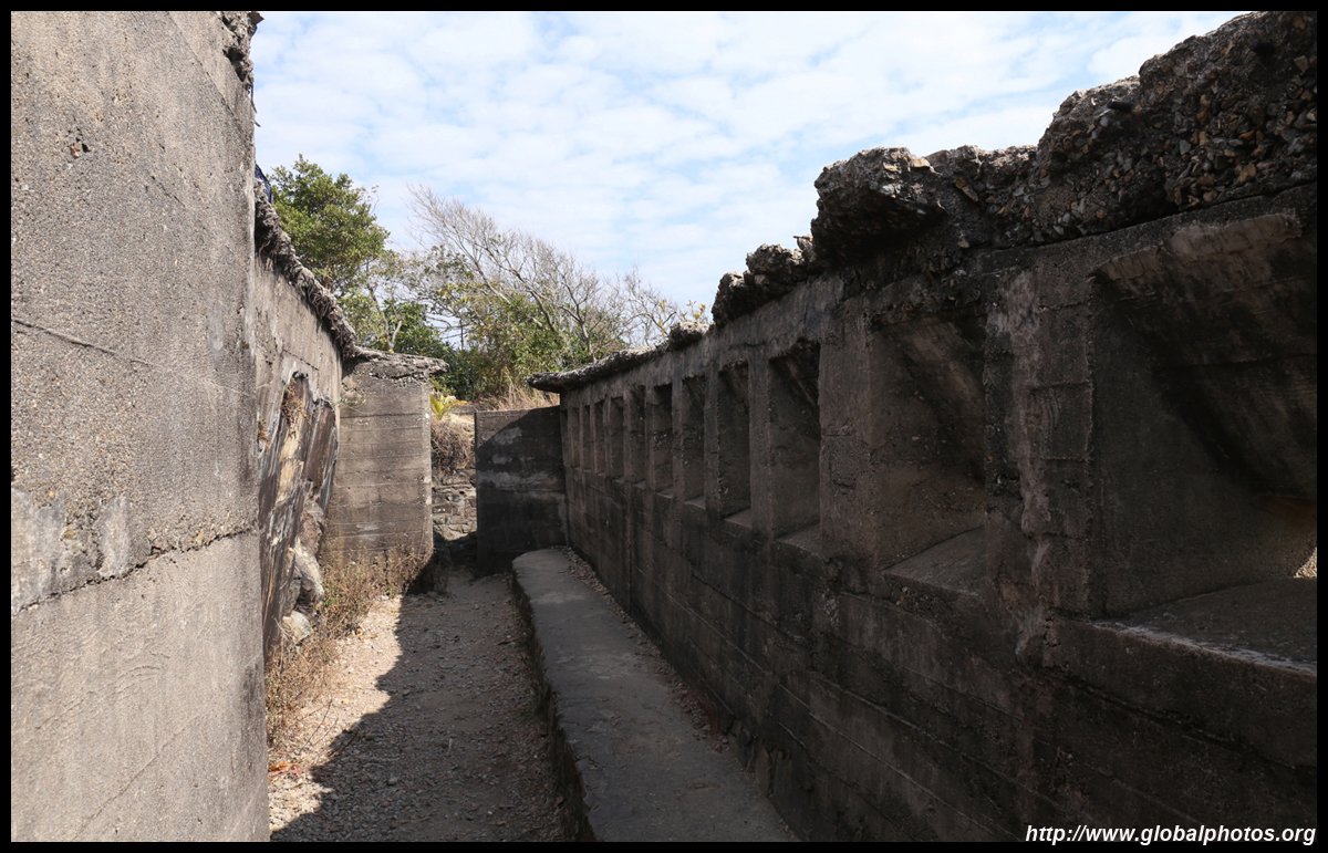
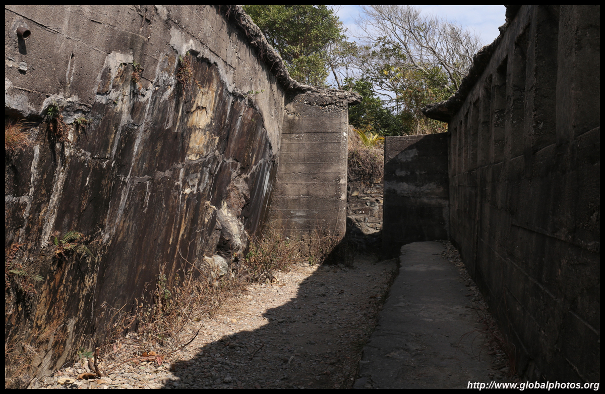
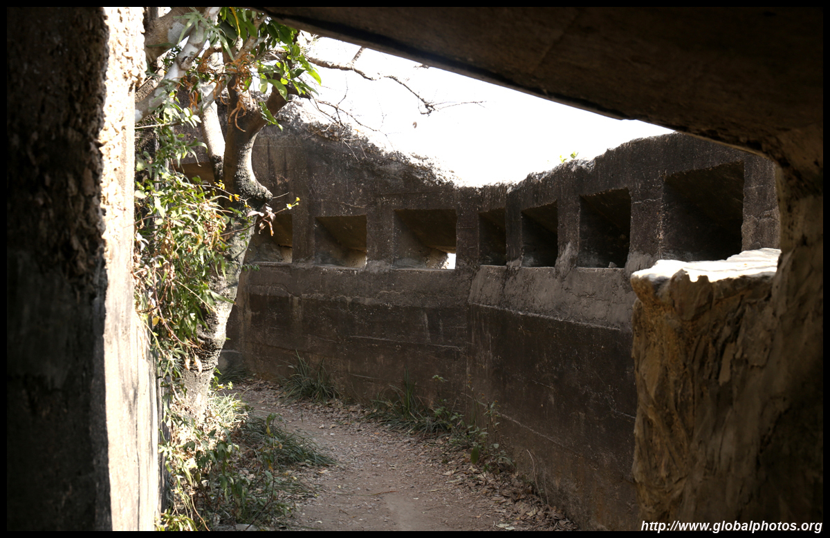
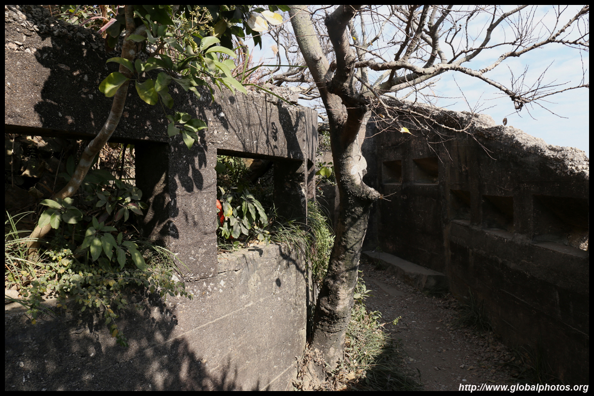
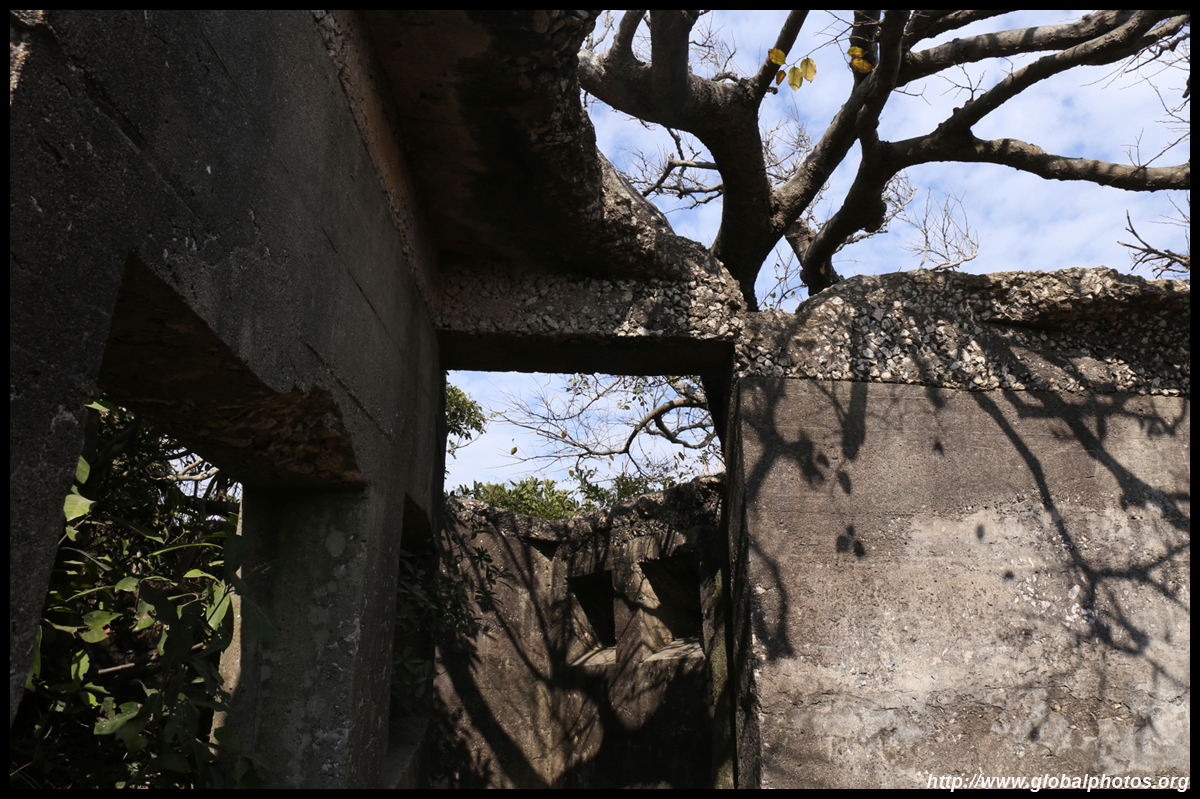
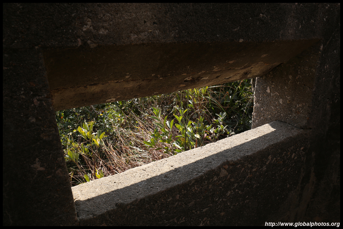
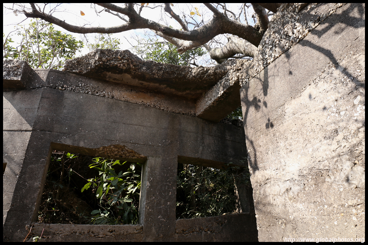
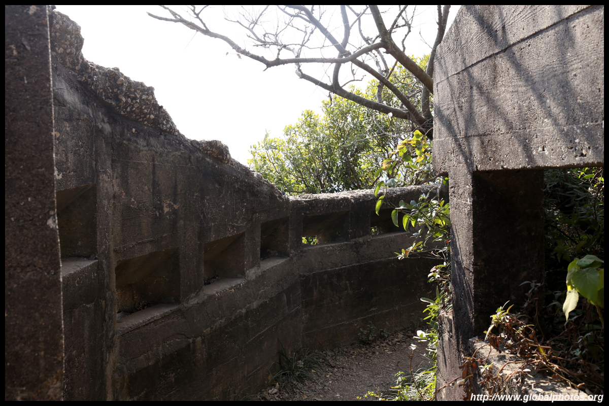
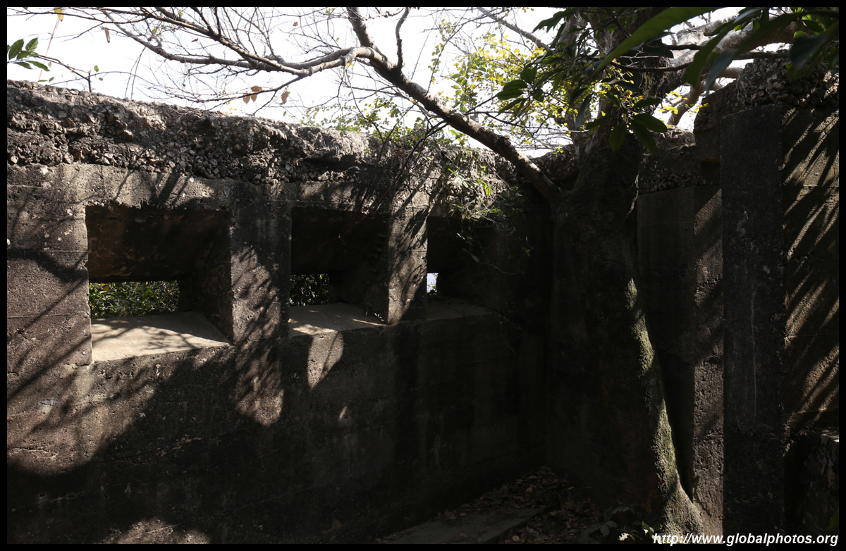
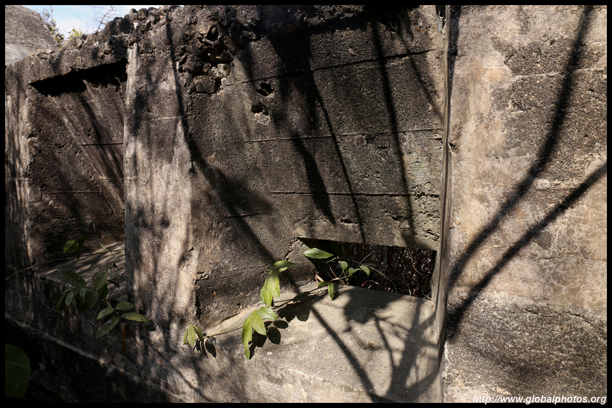
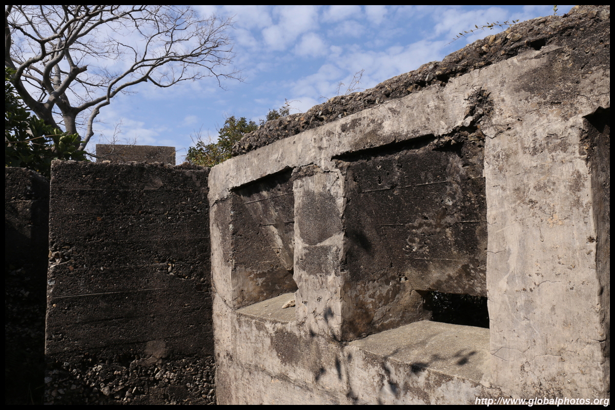
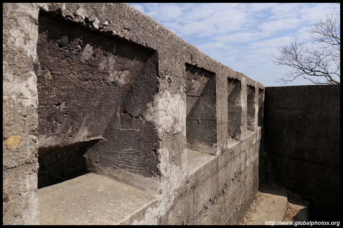
A side path to the right will lead up to Gough Battery, where you can enter the ruins. The eastern entrance to the harbour is quite narrow so military fortifications were built on both sides.
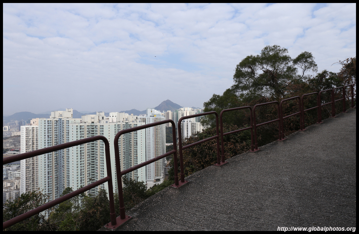
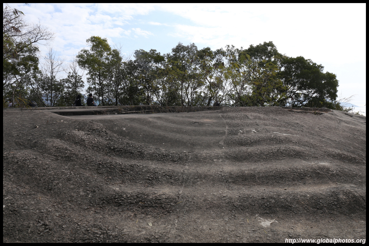
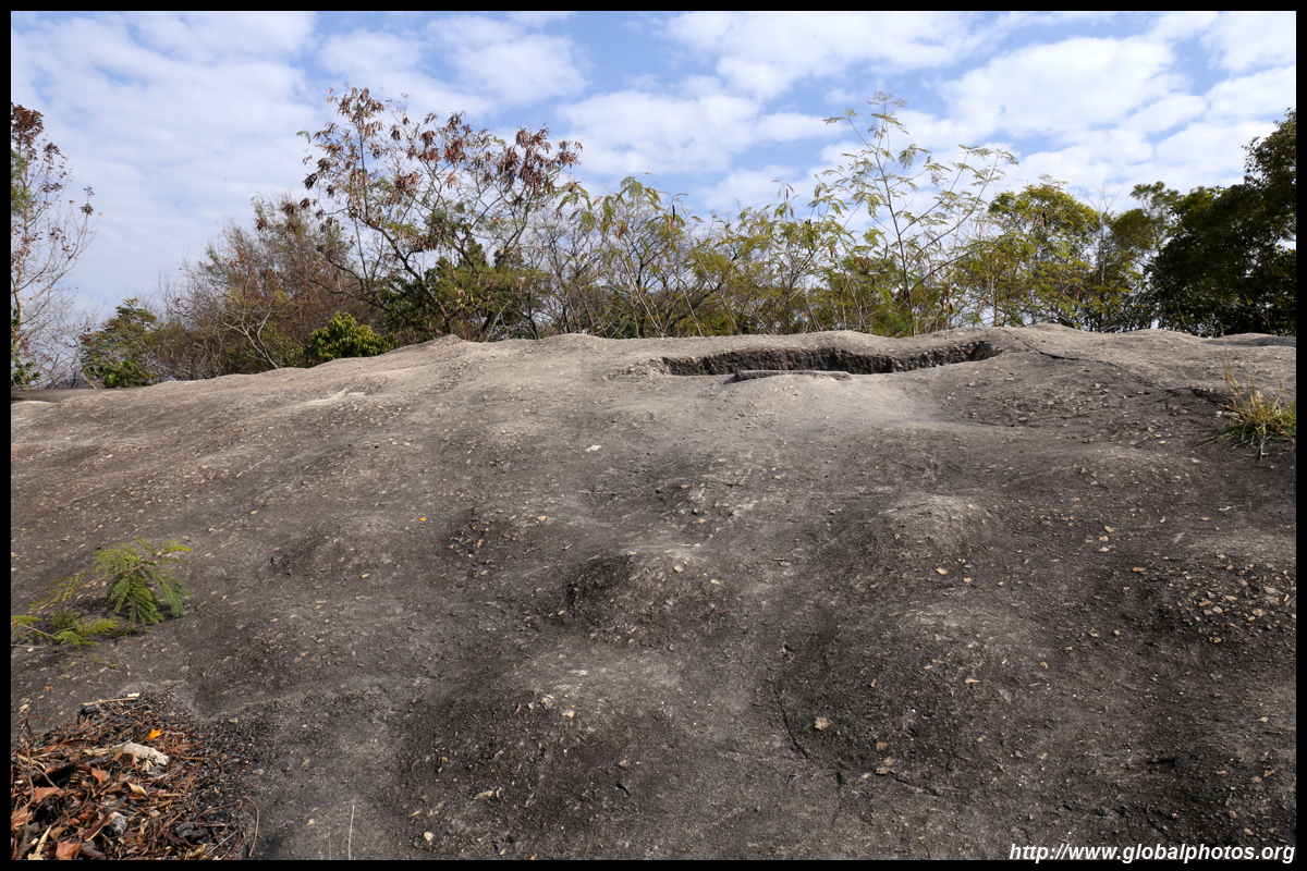
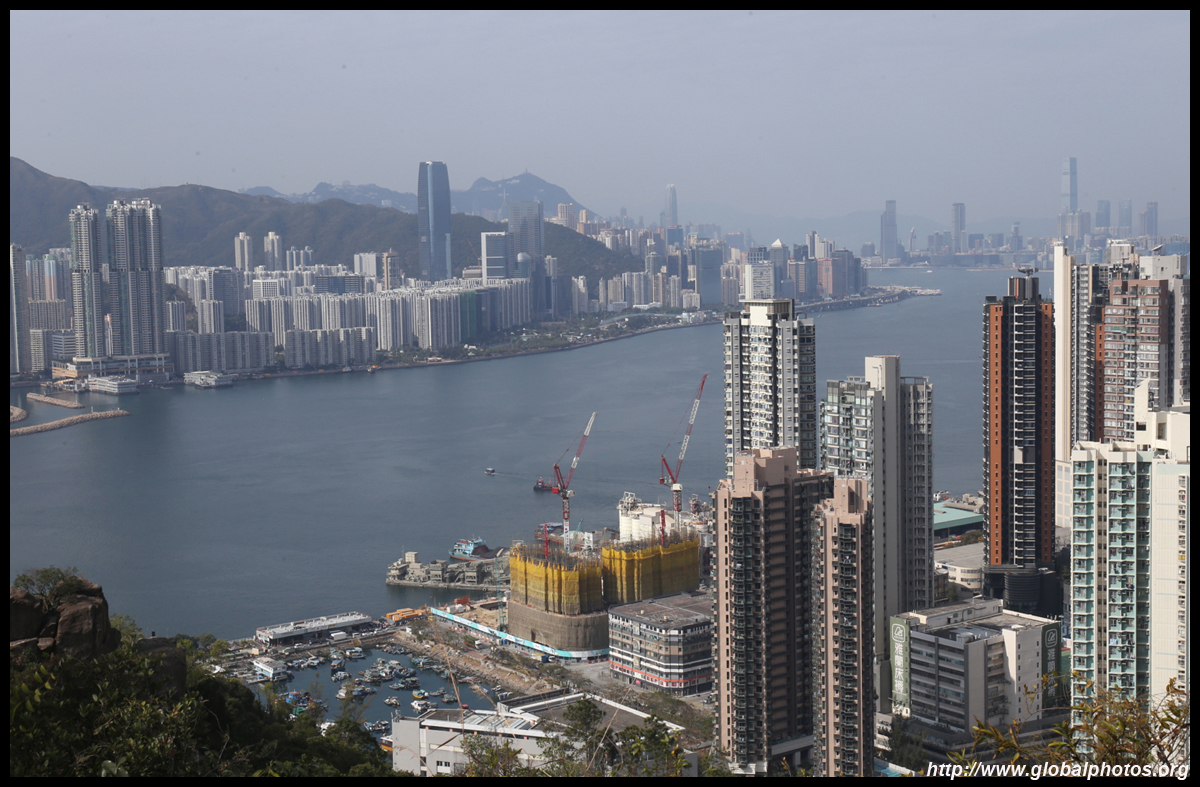
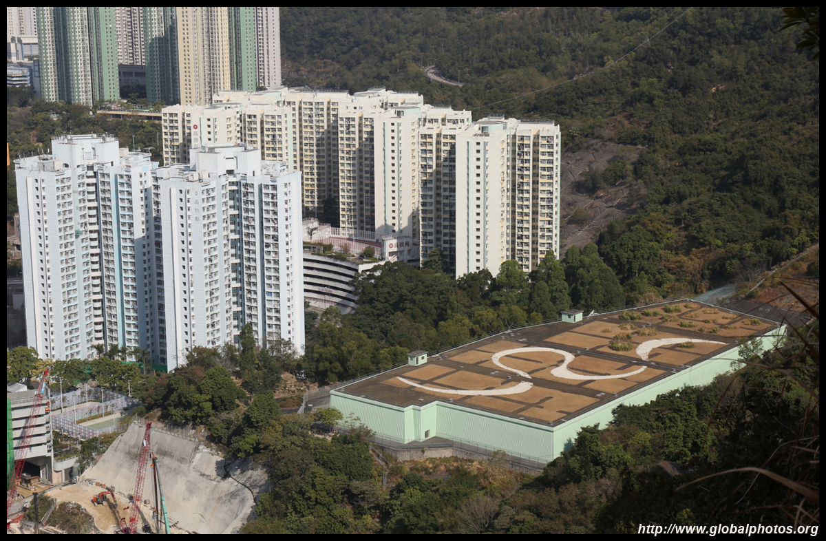
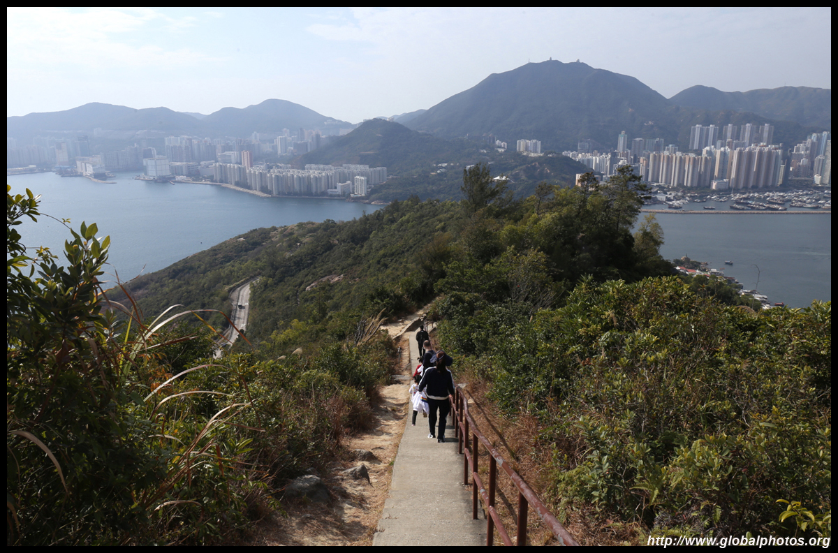
Return to the main path after and continue to go uphill to the top. The views get better and better along the way.
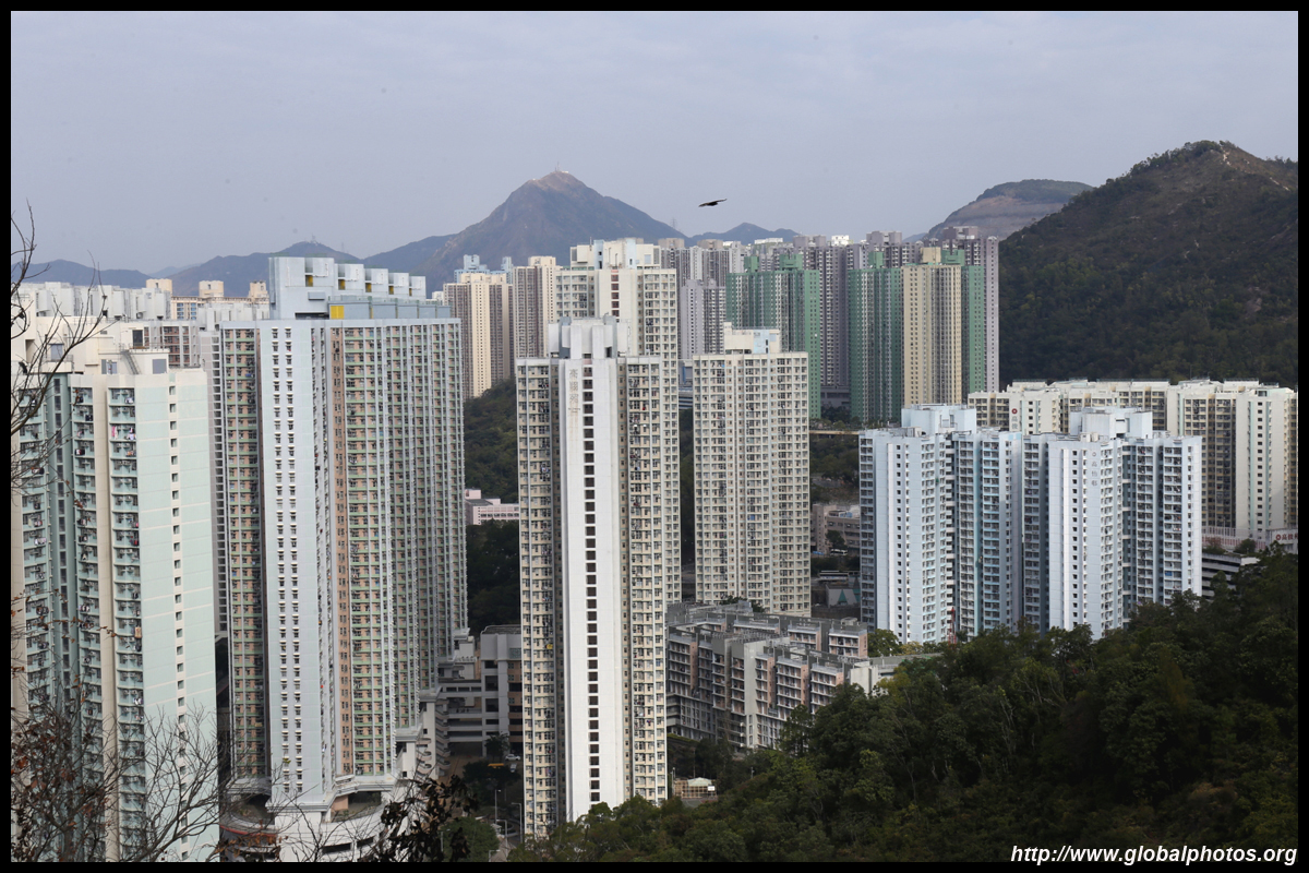
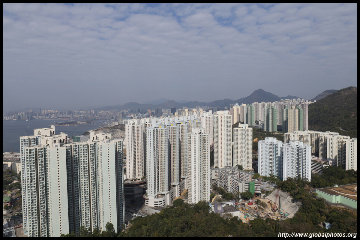
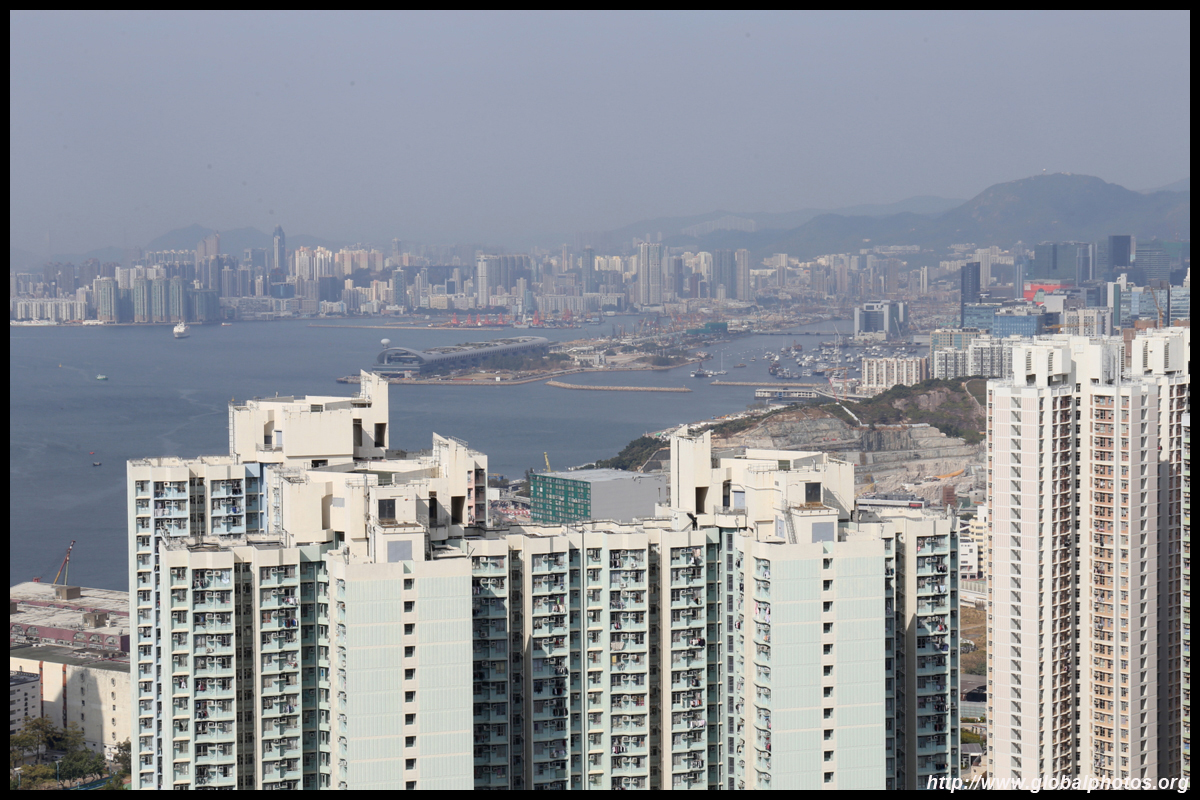
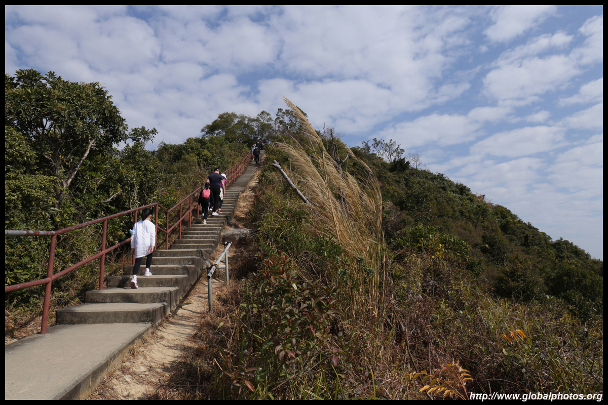
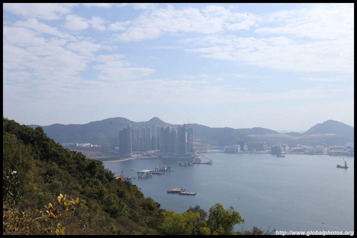
Follow the signs and this final staircase leads to the top. You will be able to see the new town on Tseung Kwan O on the other side. It is possible to extend your hike to finish there for more views of the district.
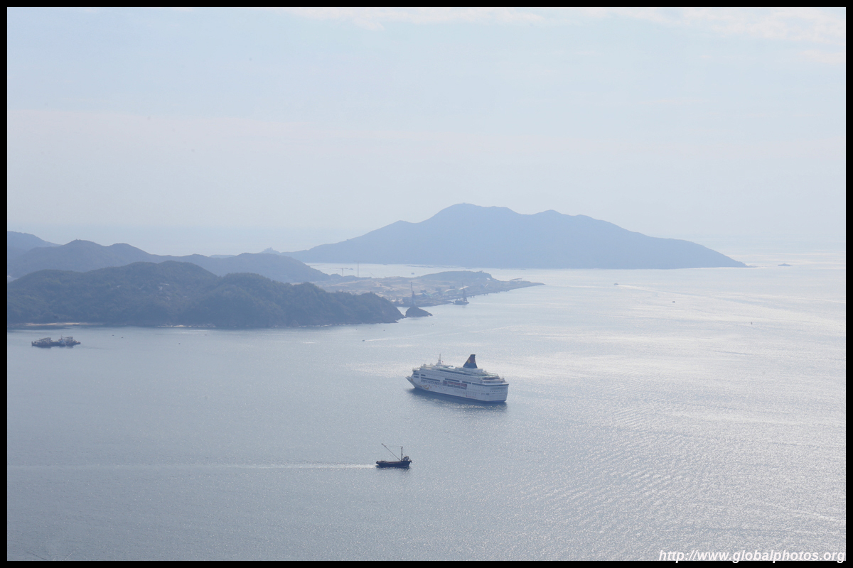
Facing west, sunset against the skyline is a major draw later in the day. Sunset views at sea level in Sam Ka Tsuen are also quite famous.
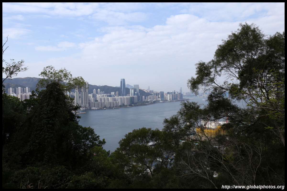
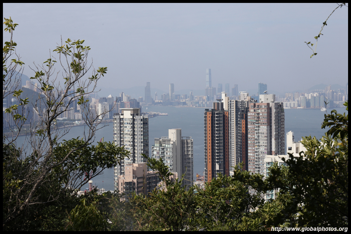
You will need to do a little climbing past the trigonometric station to enjoy the skyline view.
I was a bit tight on time for this short morning hike so I returned the way I came, tracing my steps back downhill towards Yau Tong station.
| |||