Hong Kong Photo Gallery - To Kwa Wan Part 1

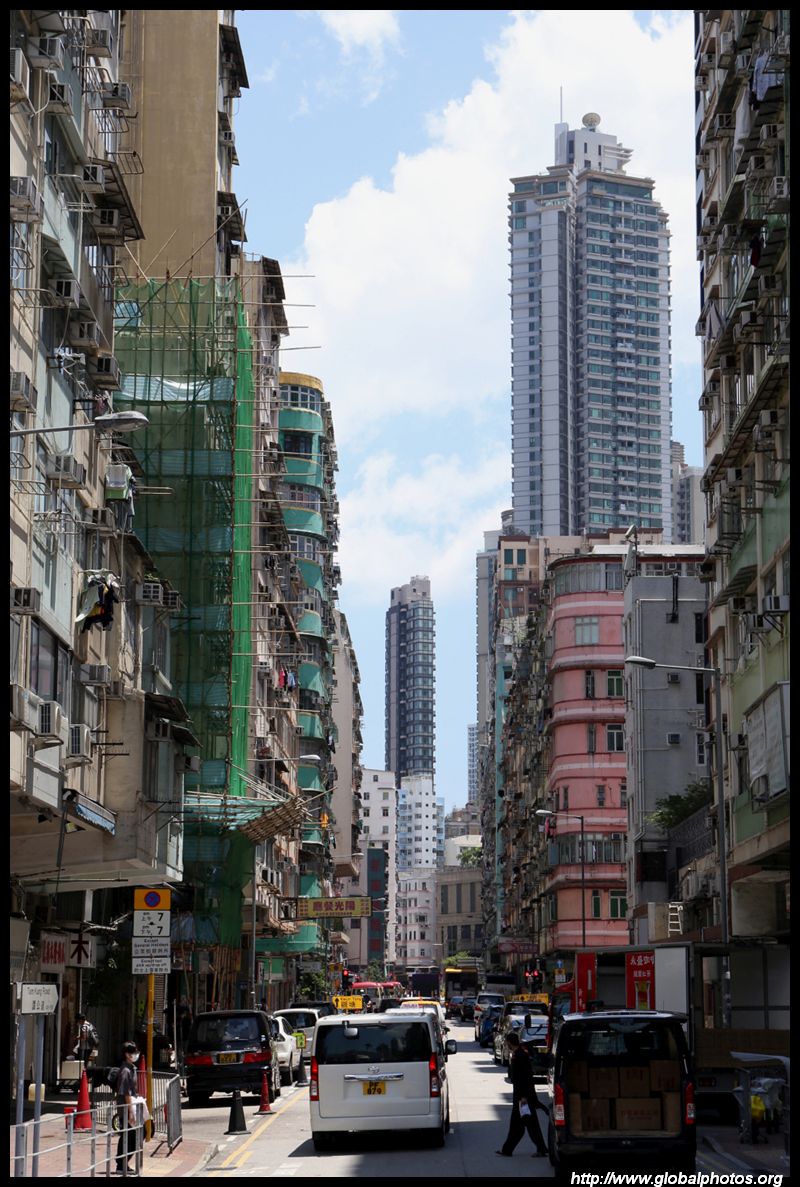
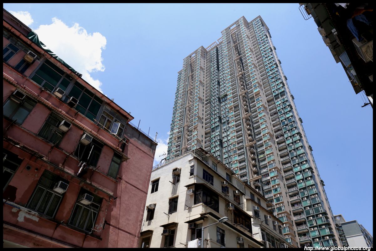
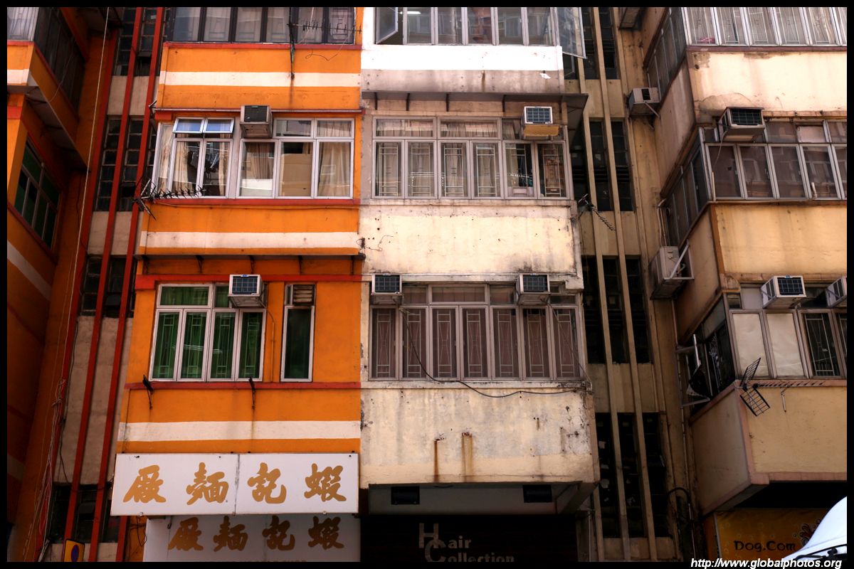
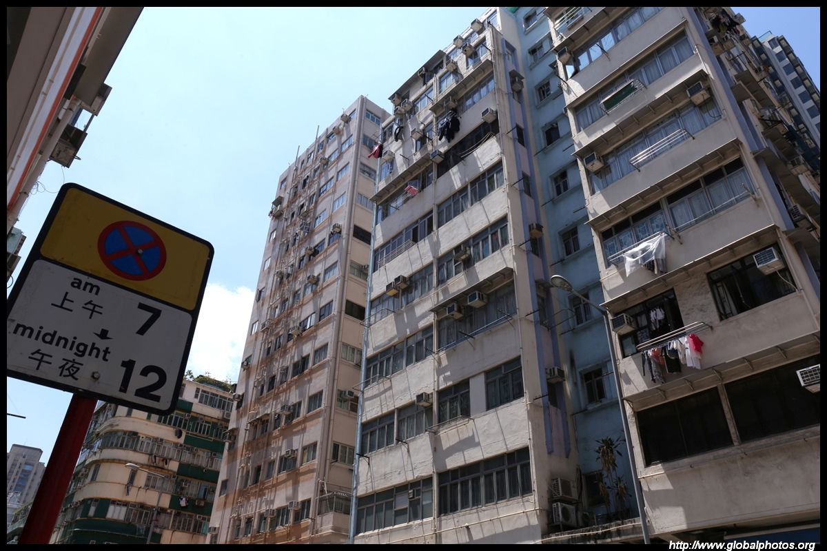
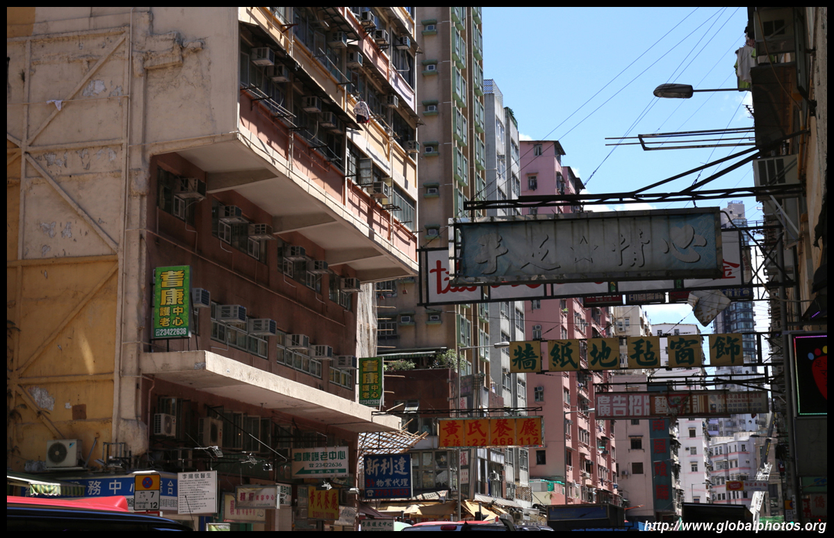
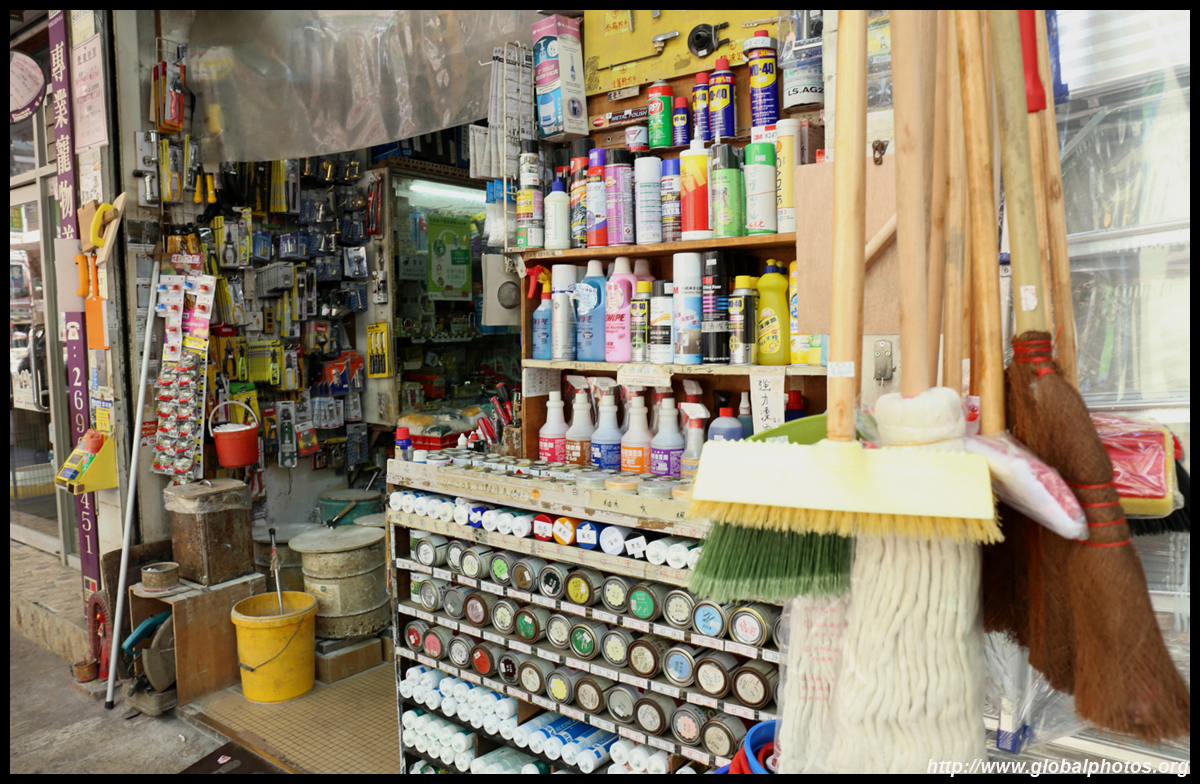
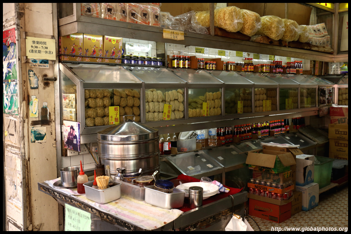
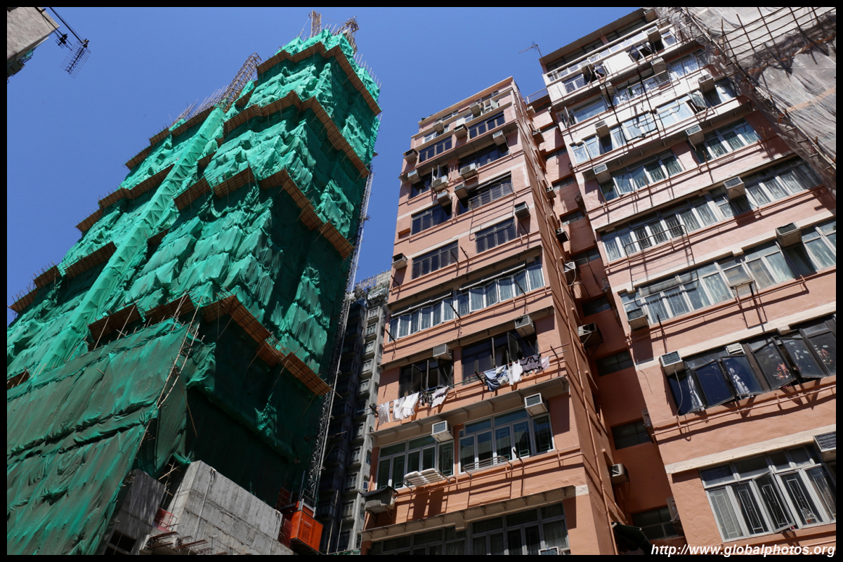
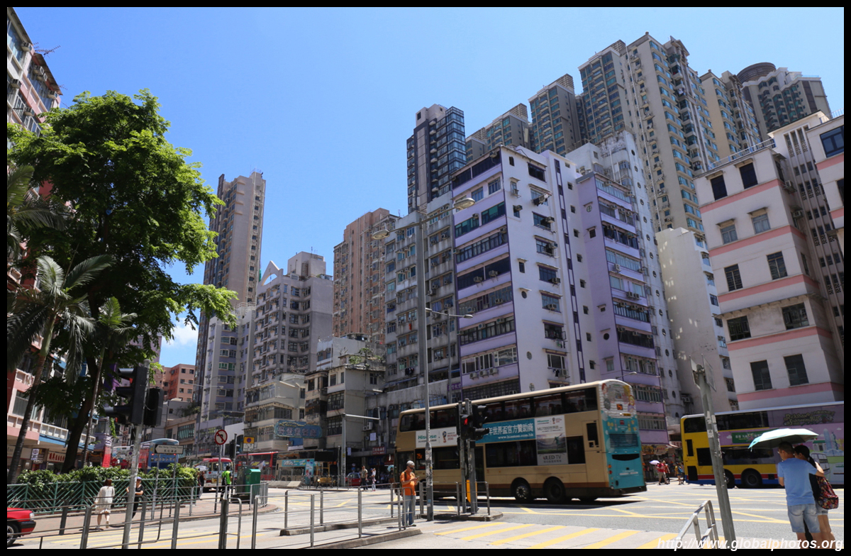
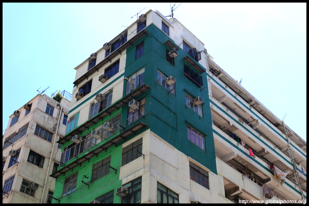
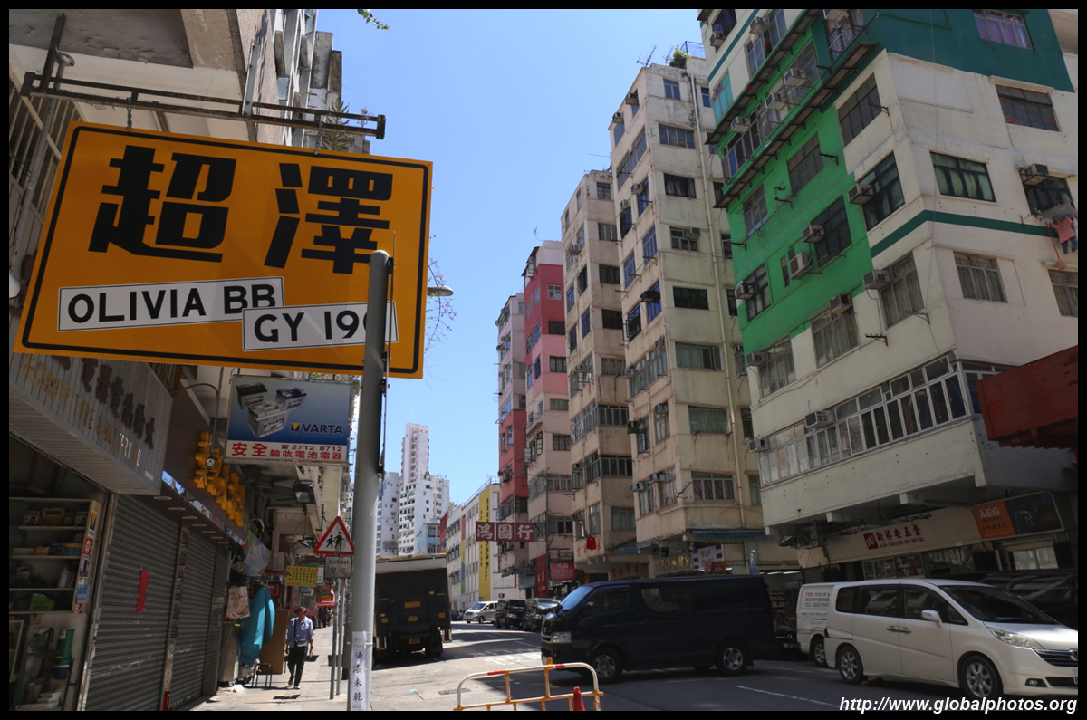
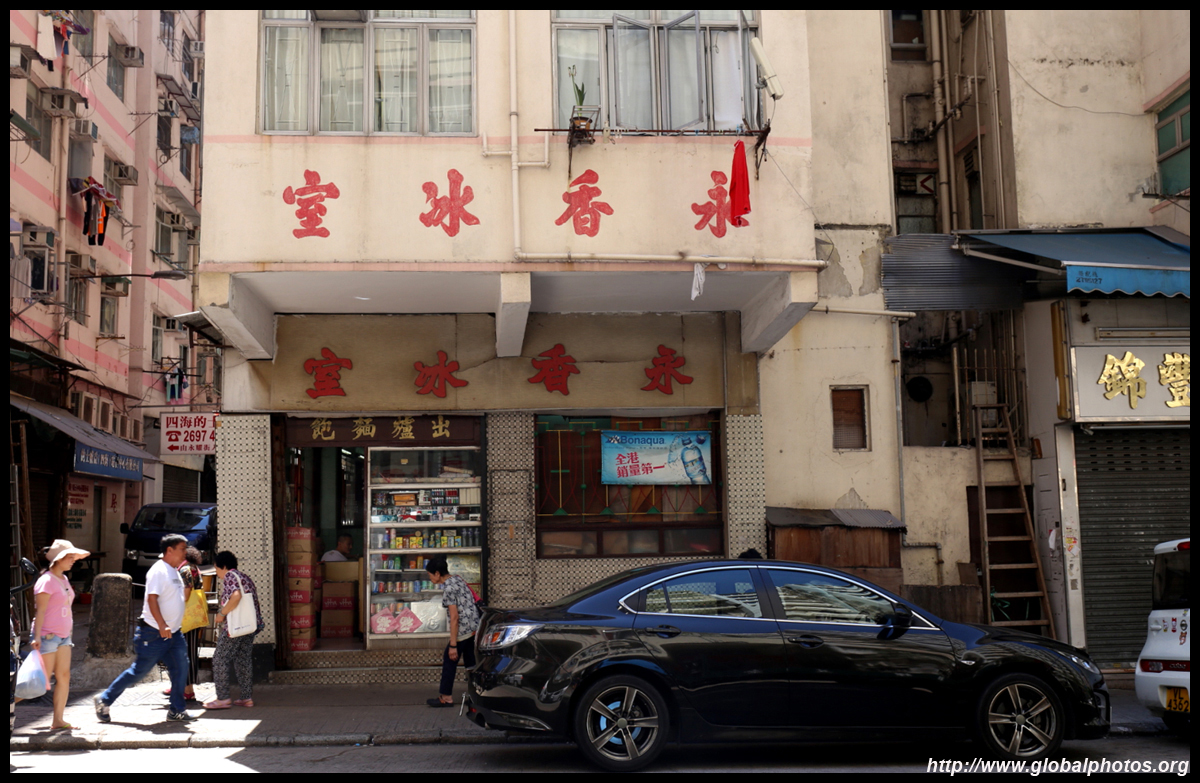
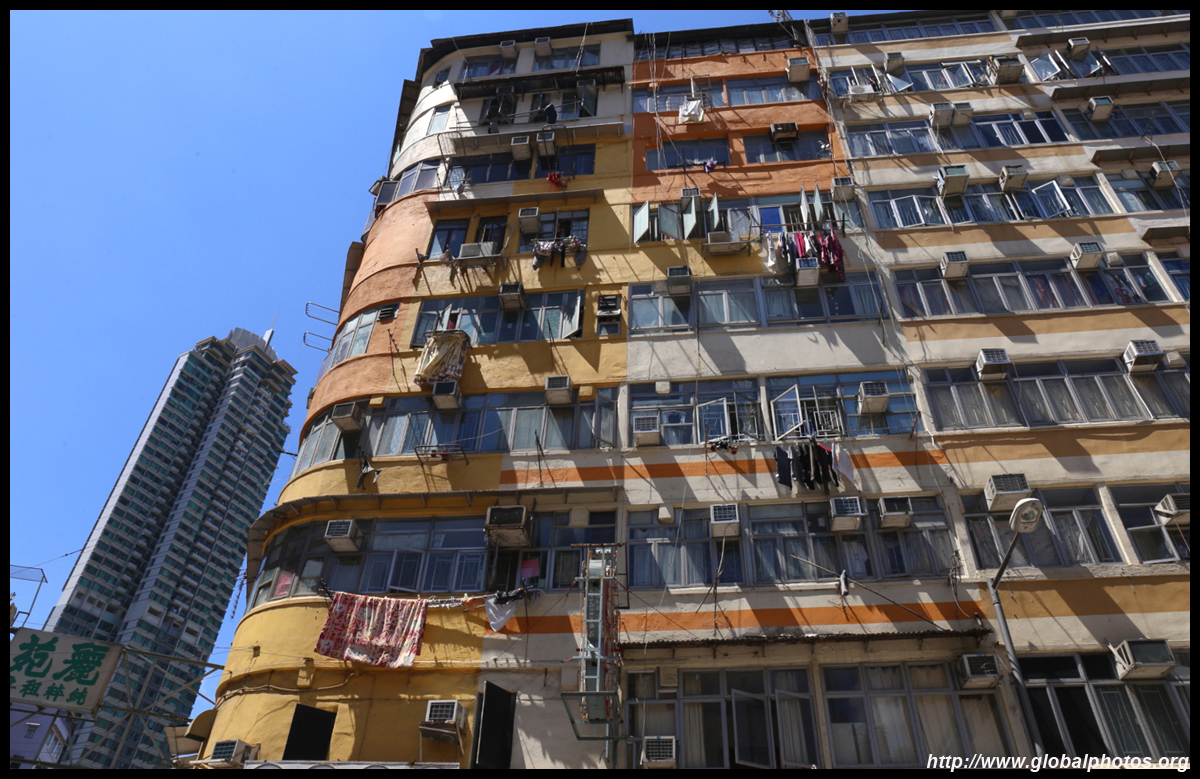
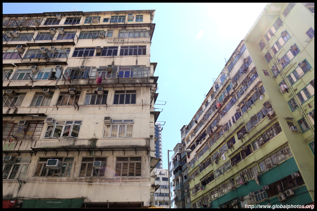
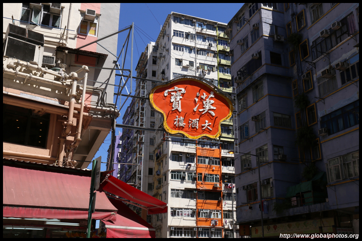
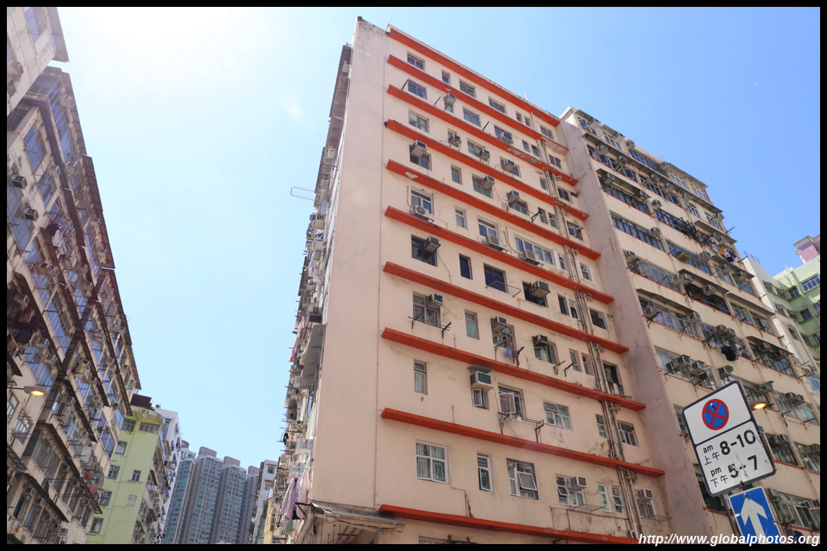
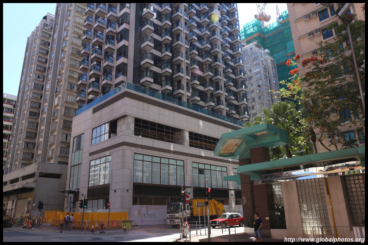
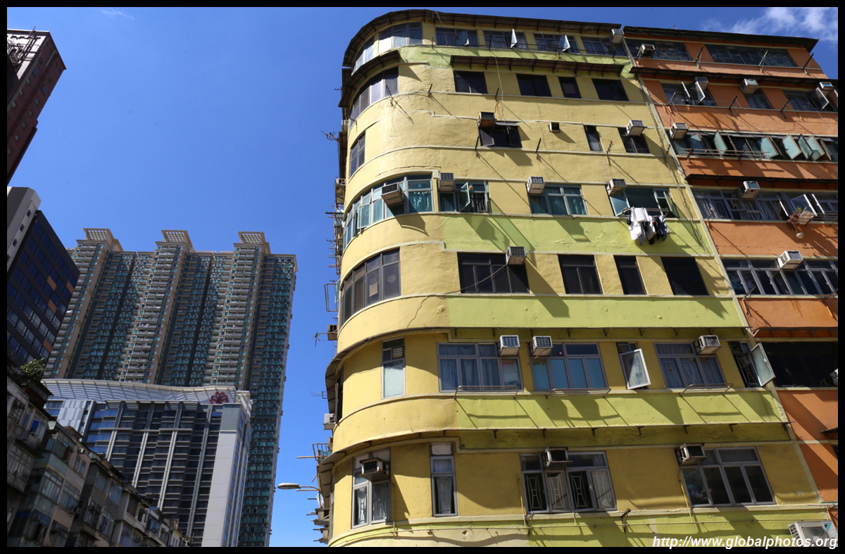
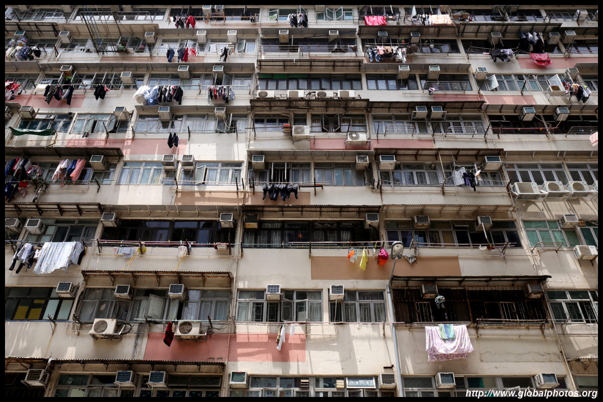
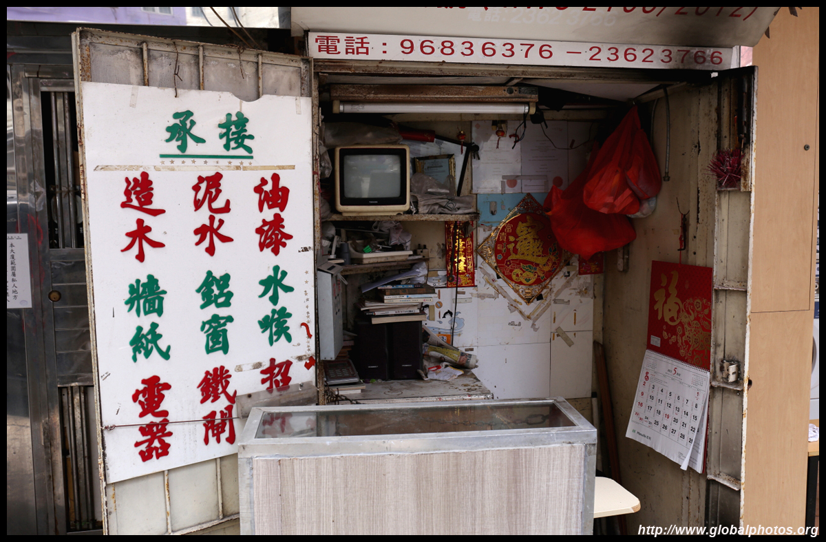
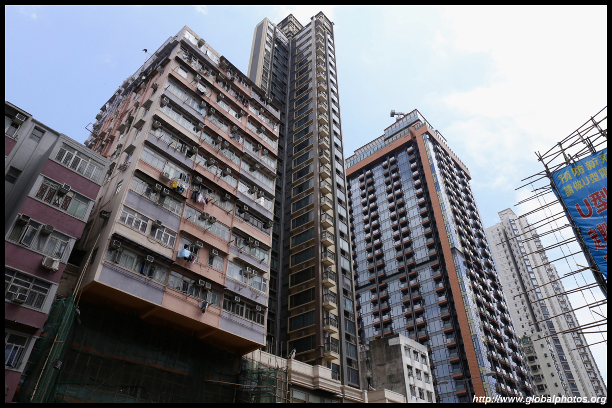
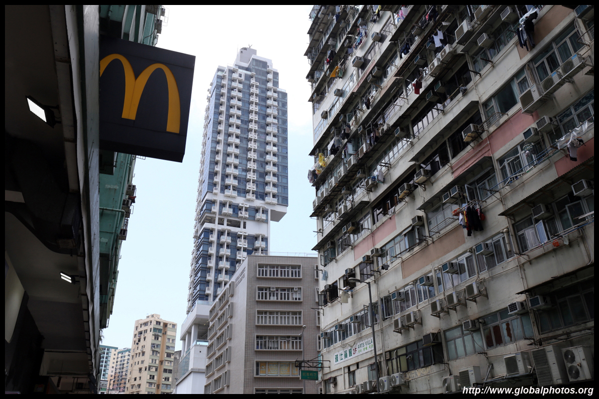
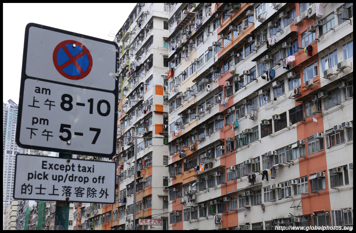
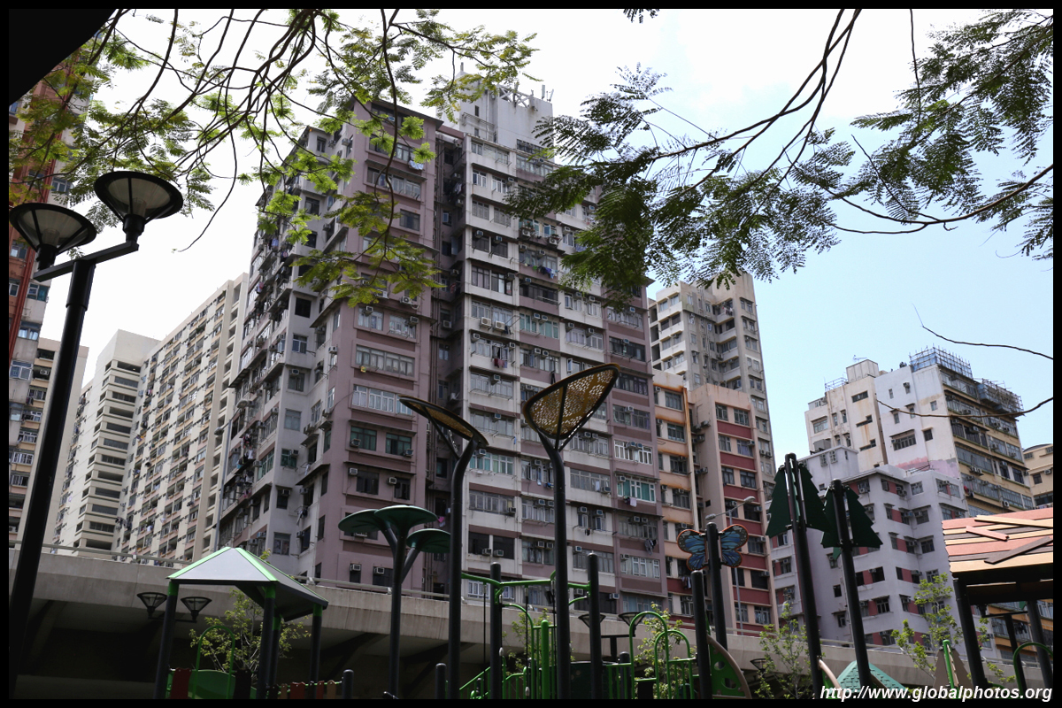
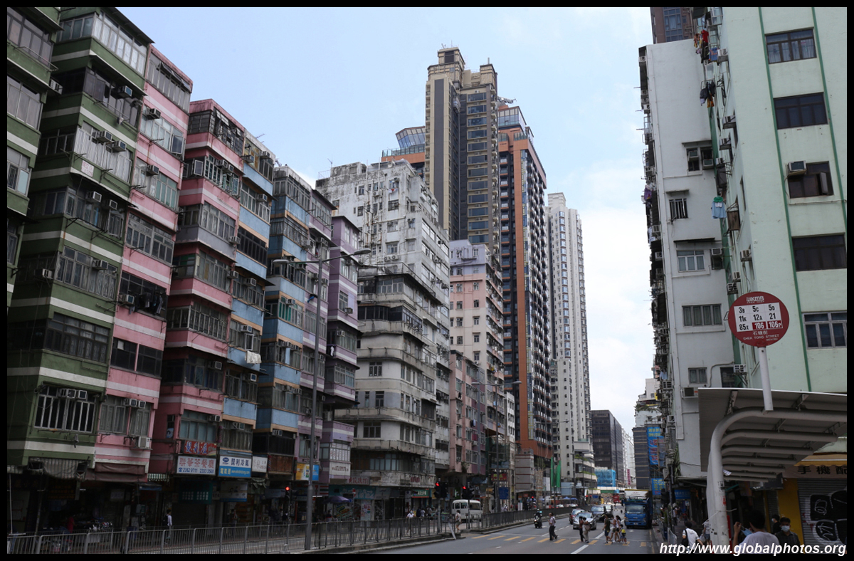
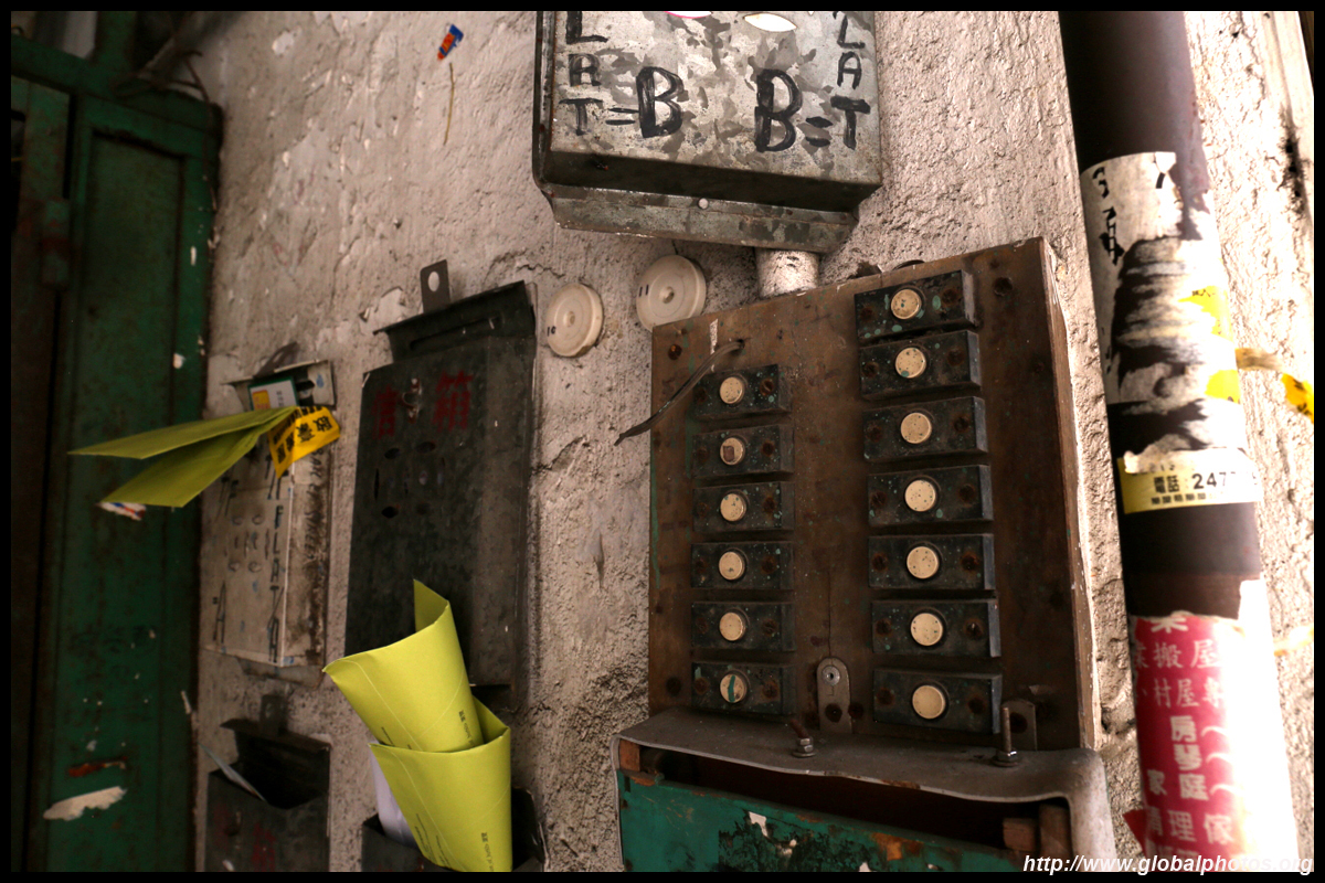
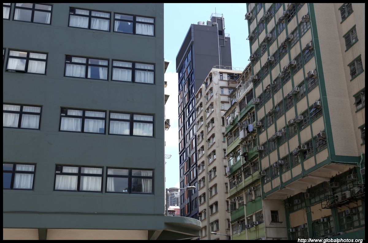
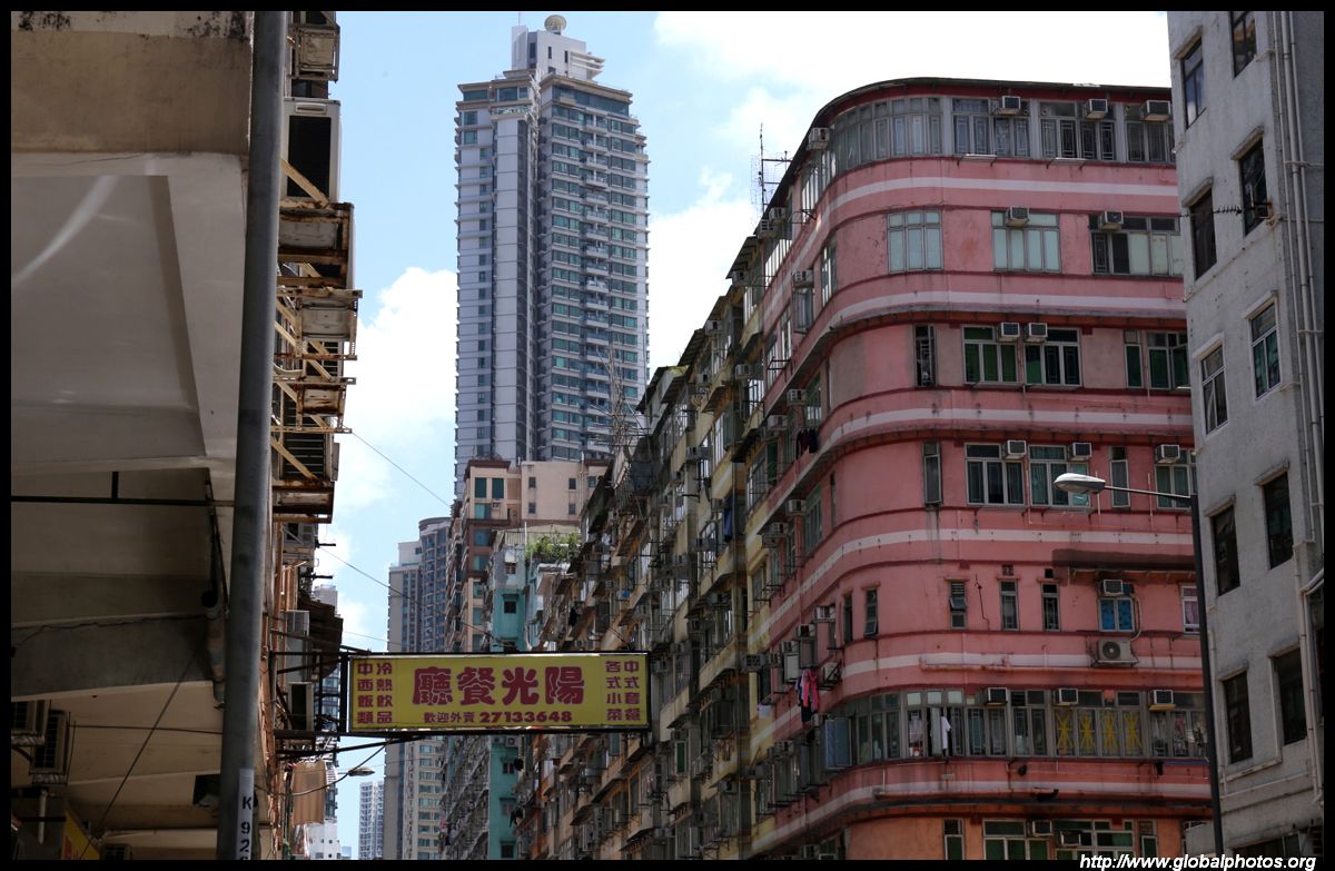
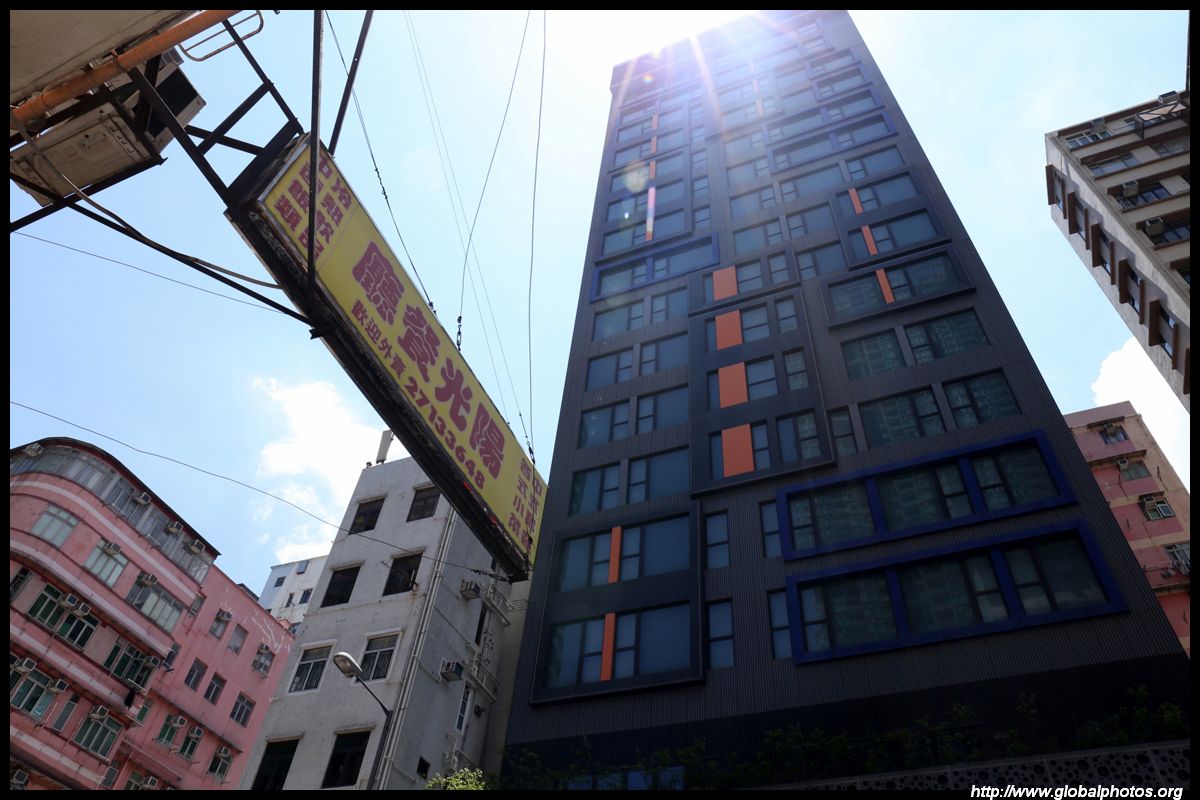
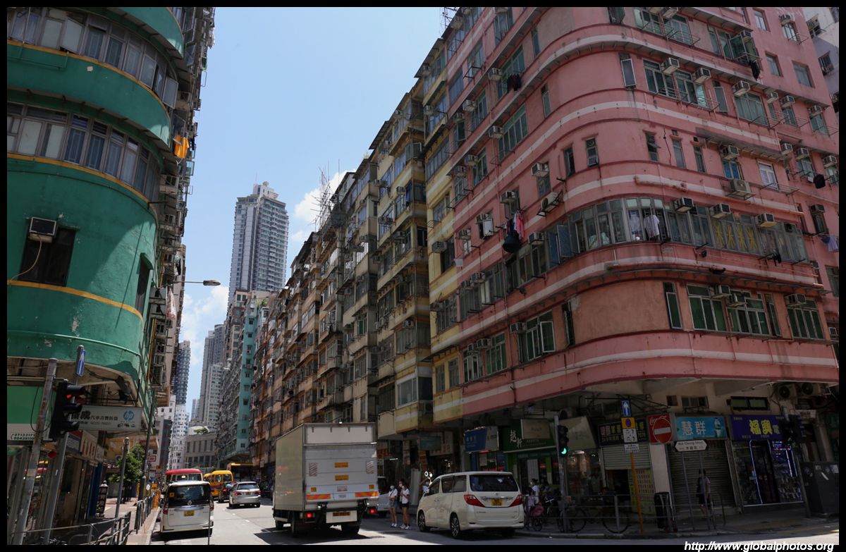
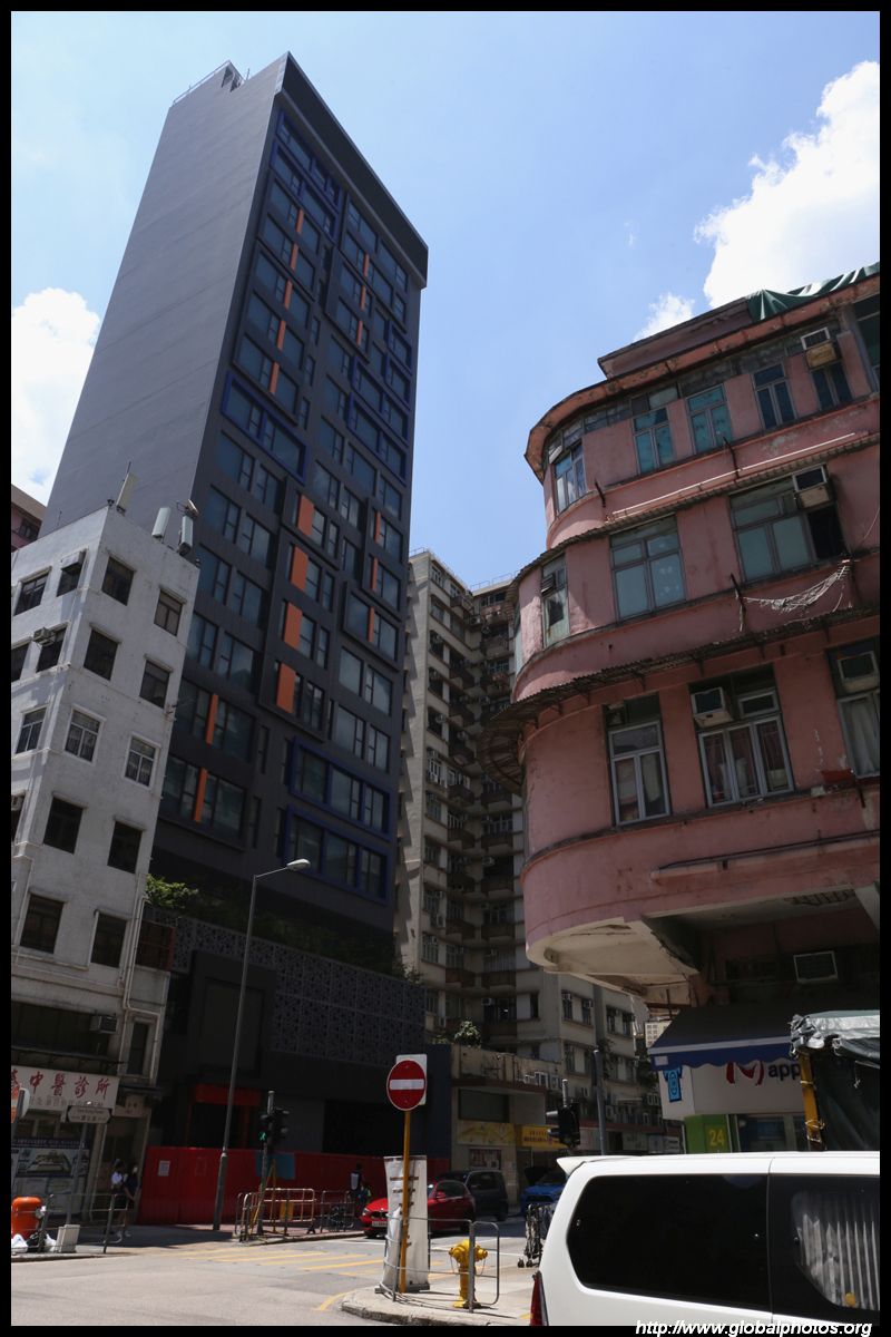
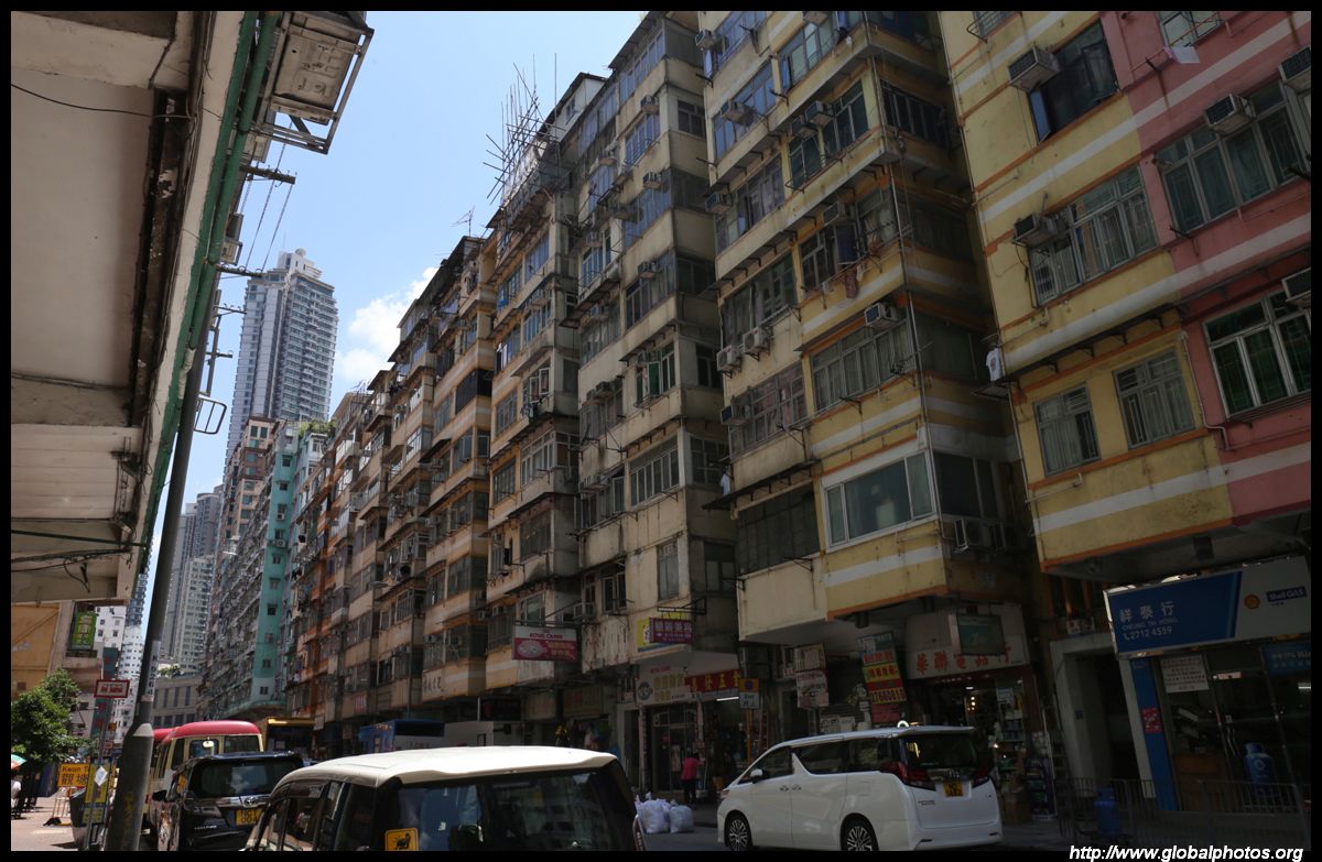
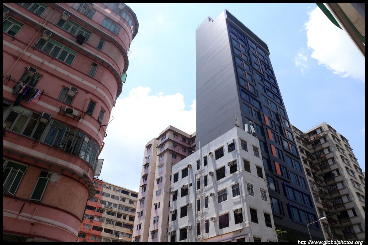
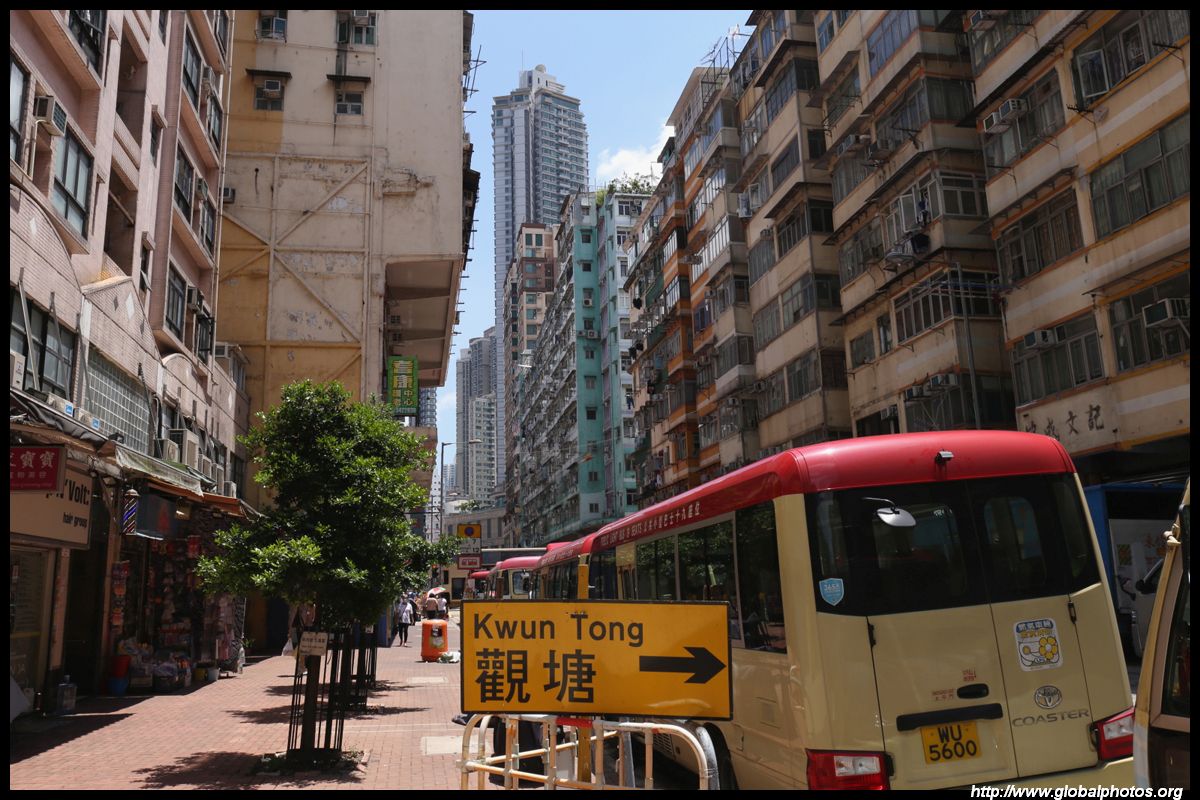
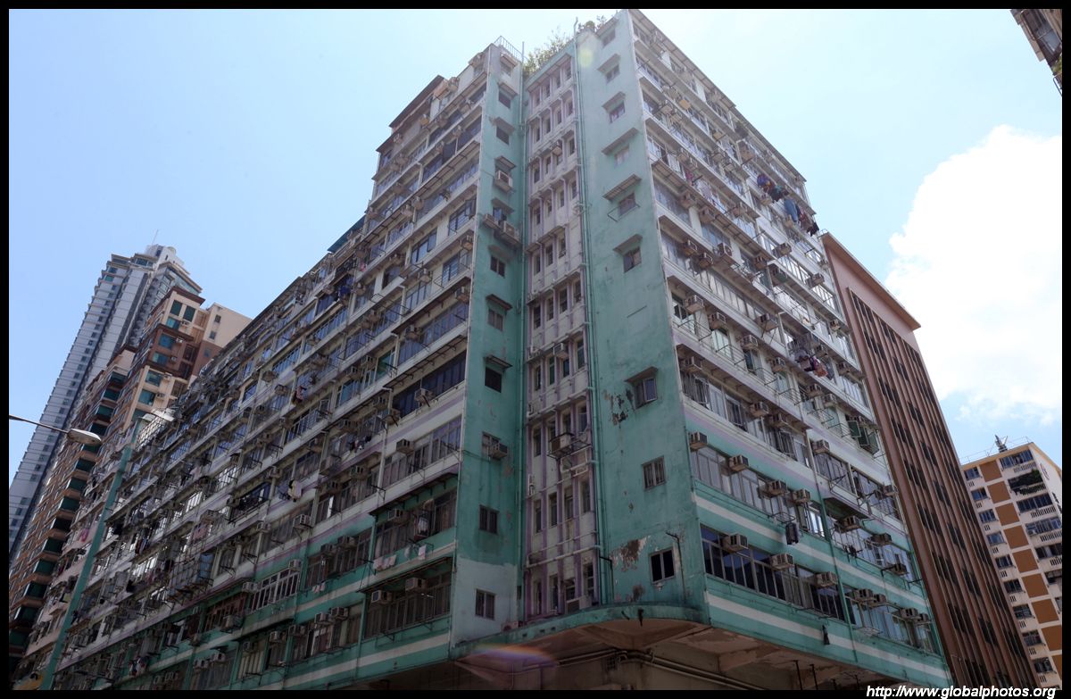
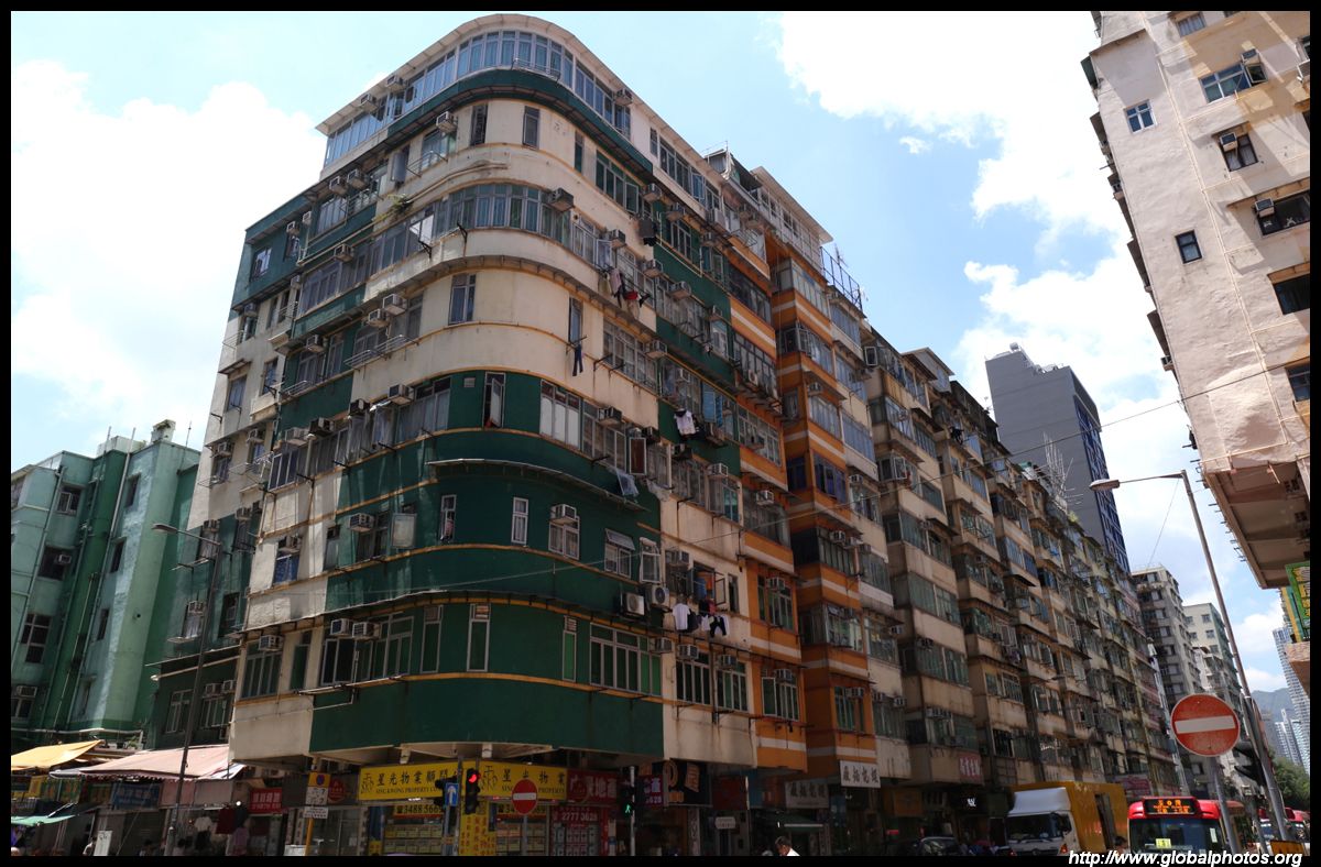
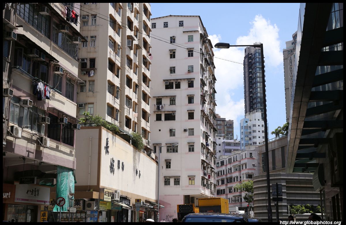
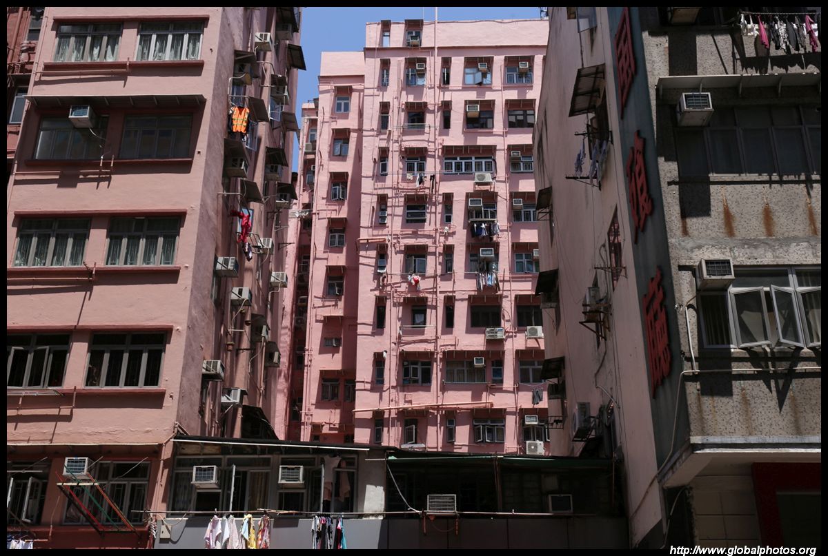
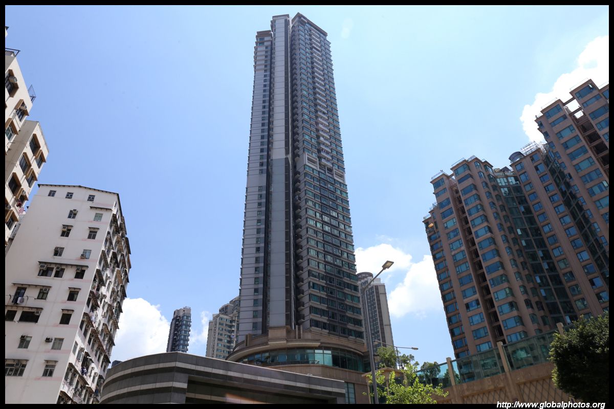
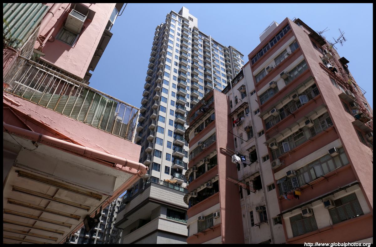
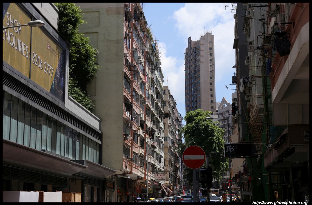
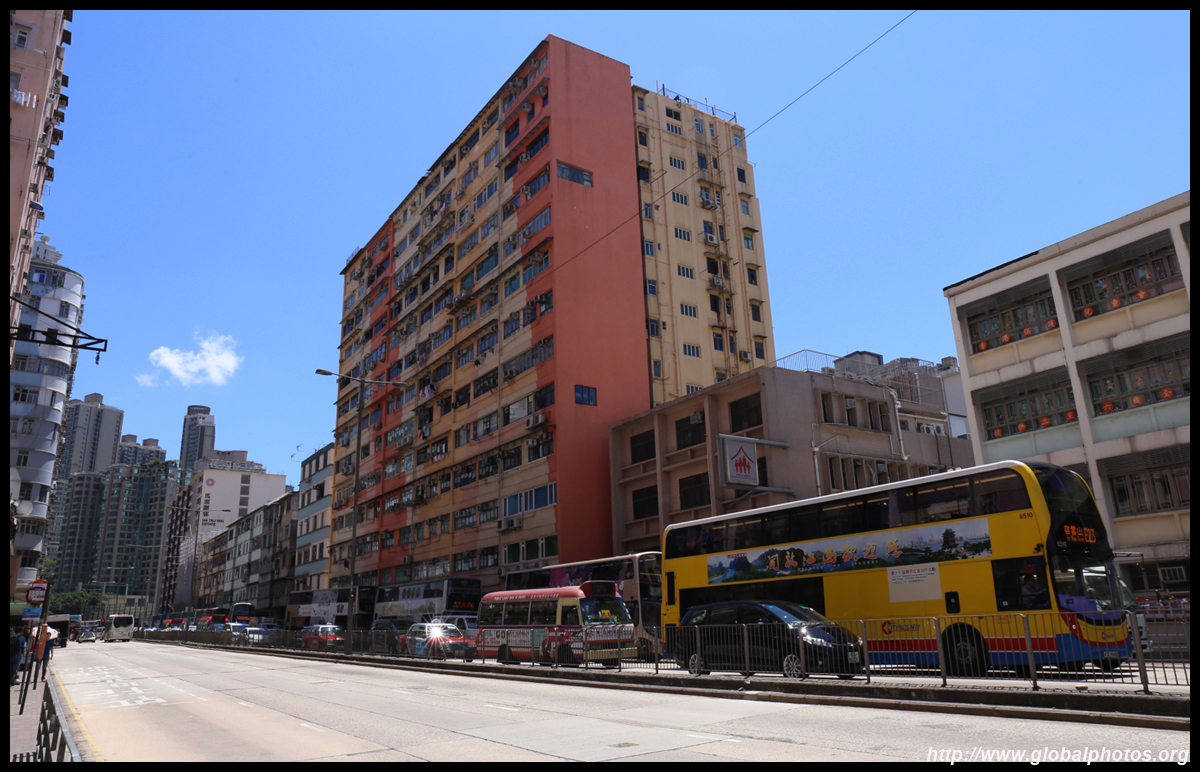
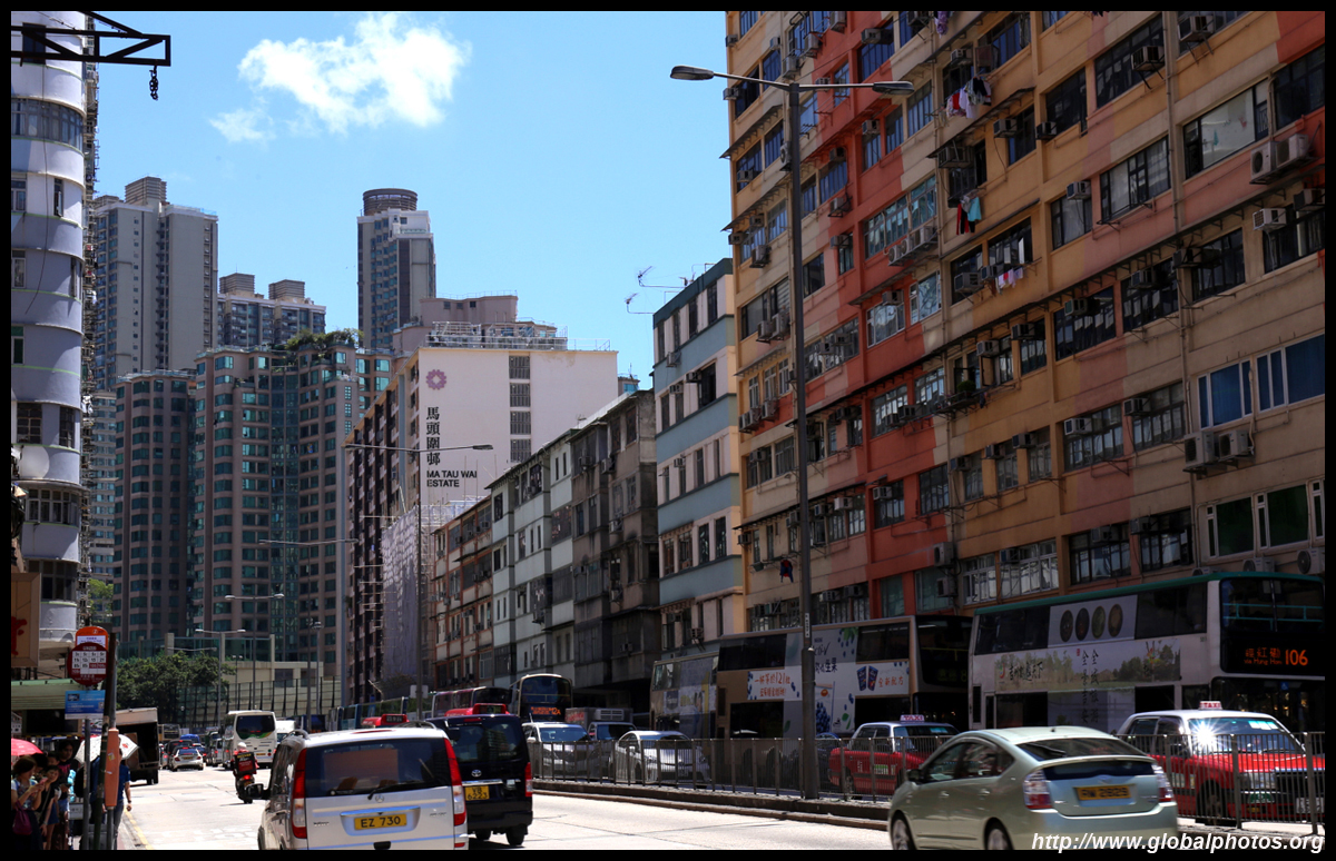
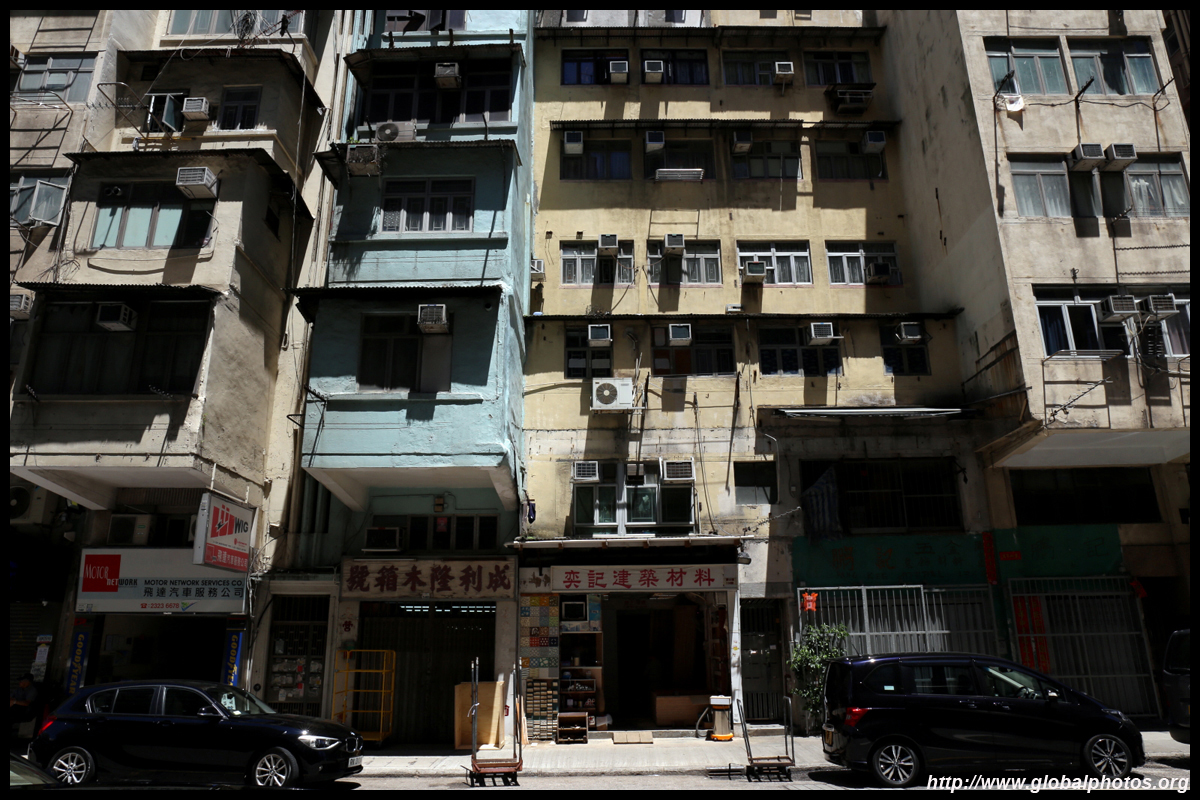
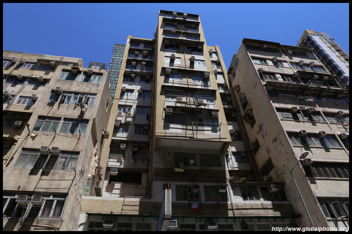
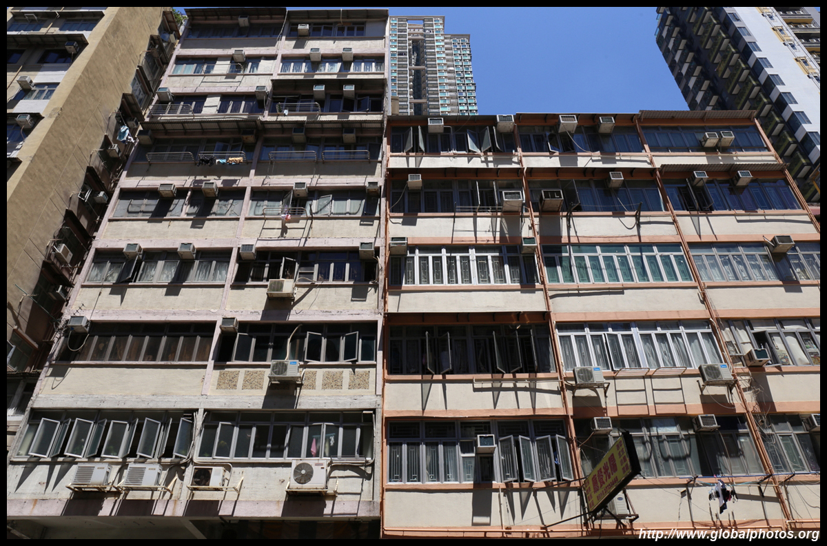
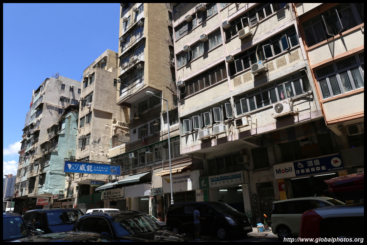
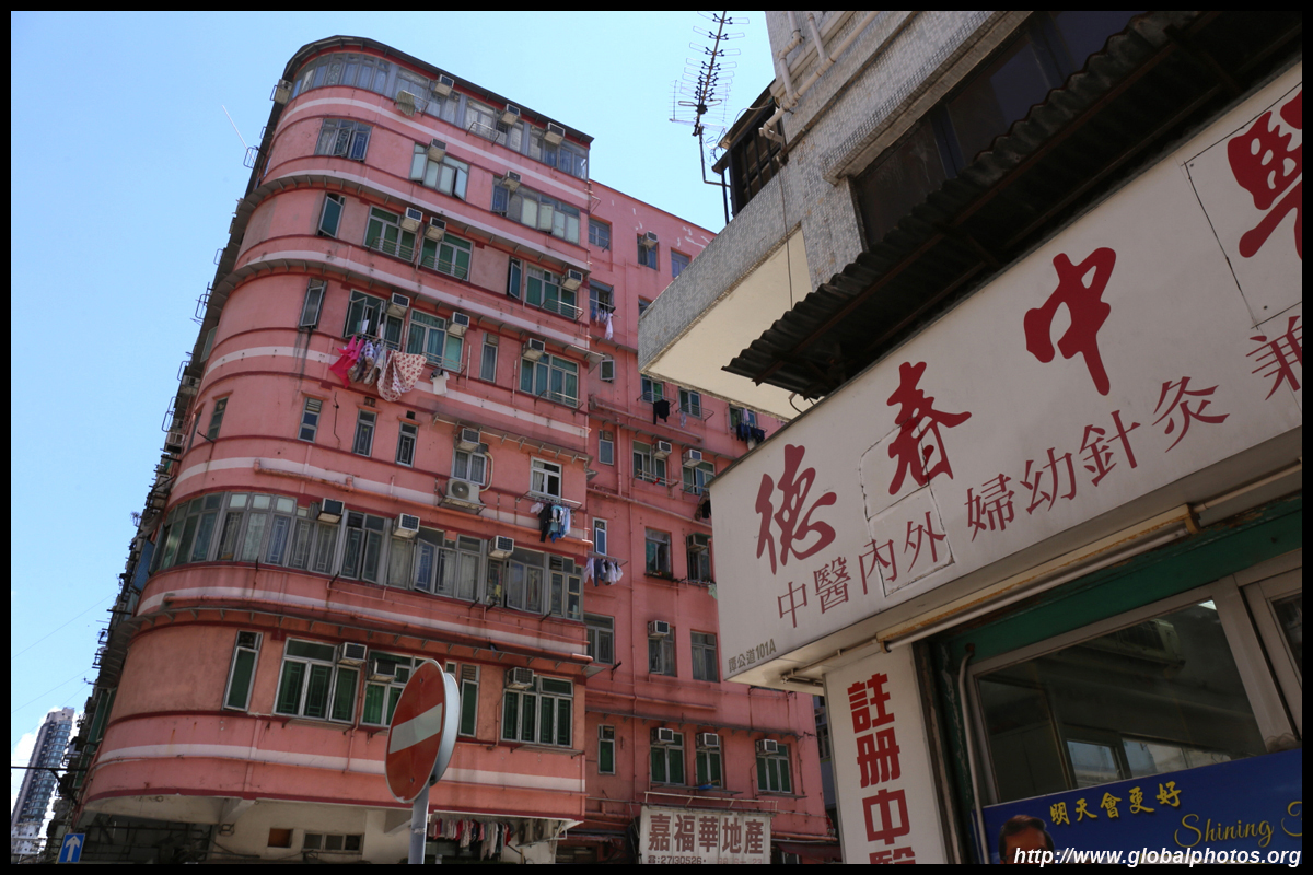
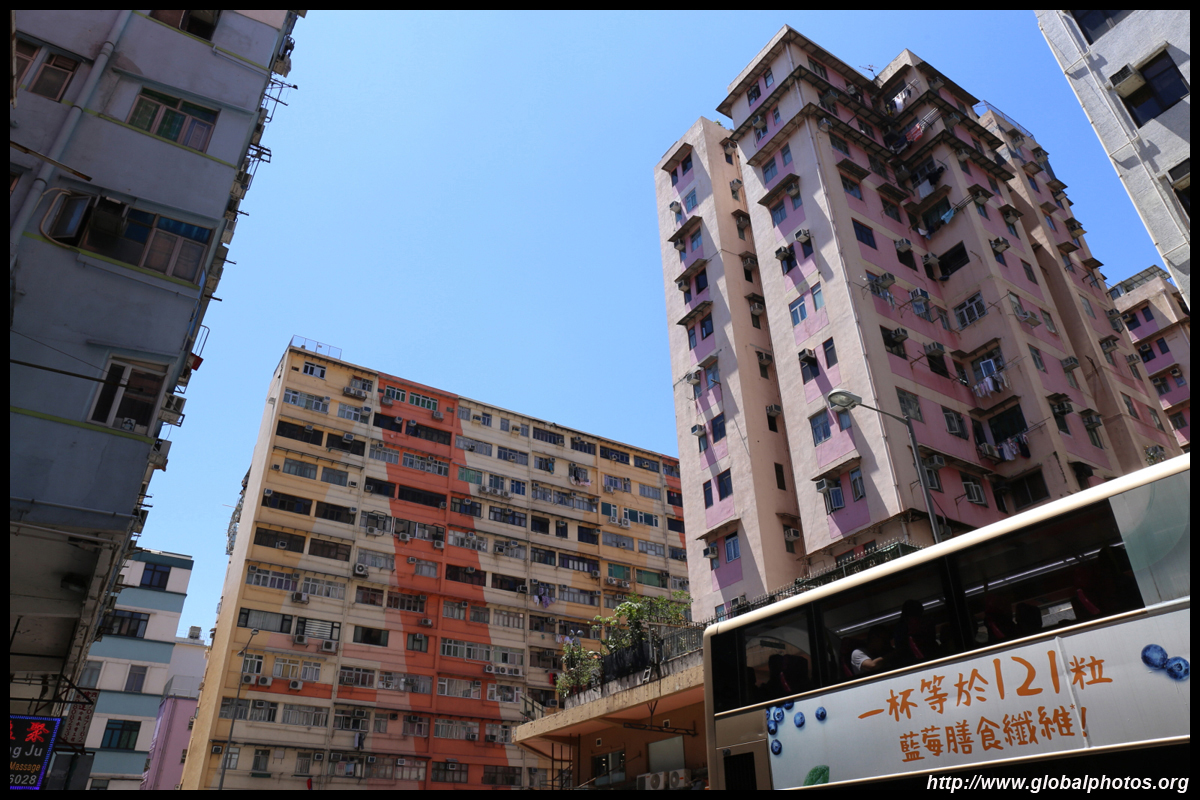
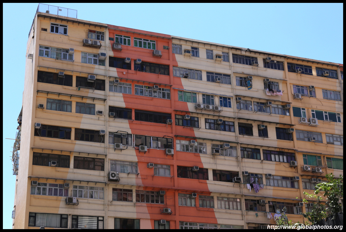
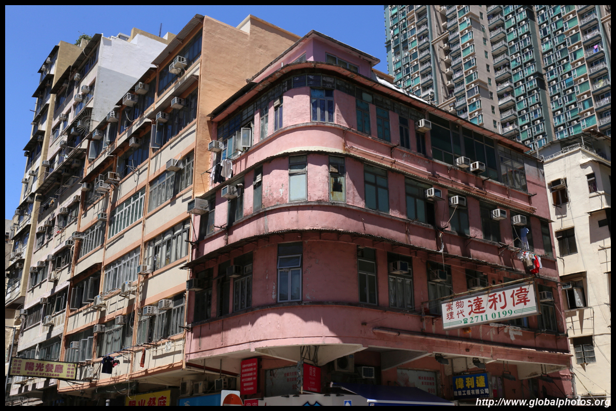
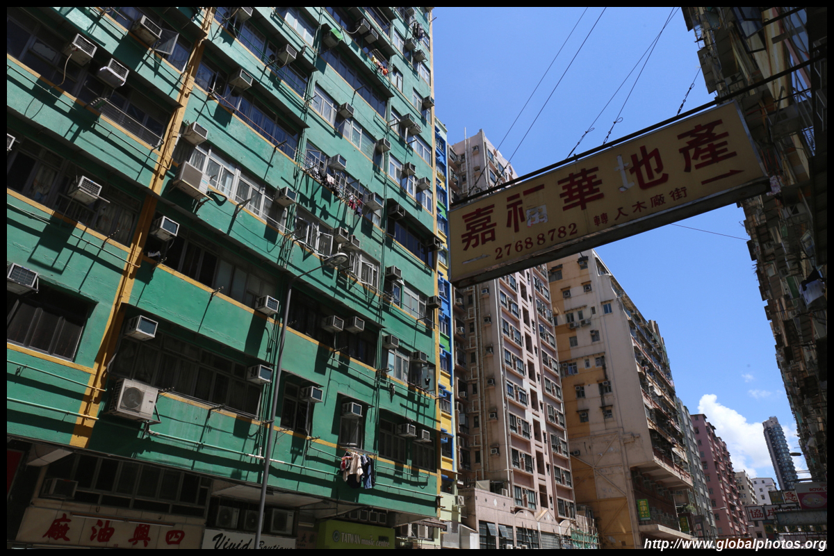
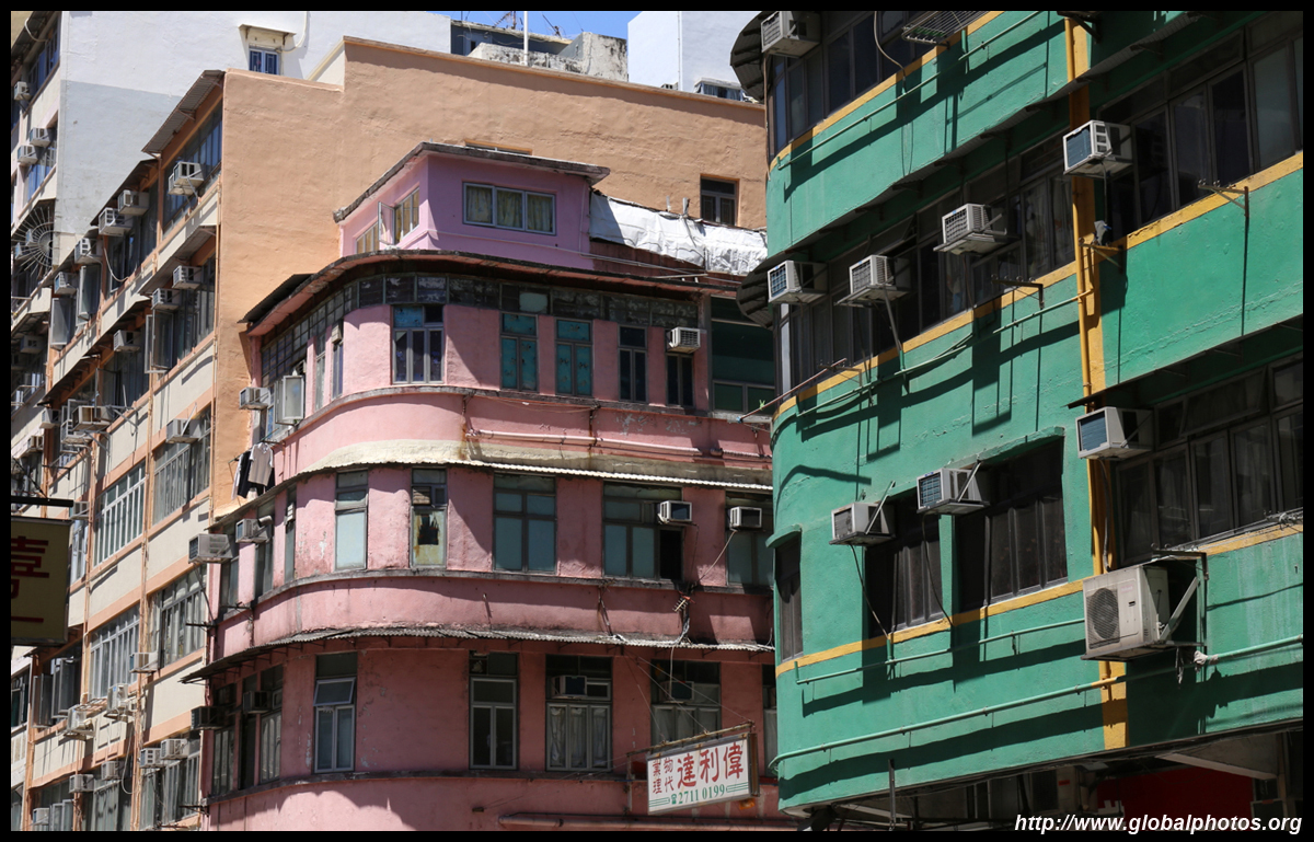
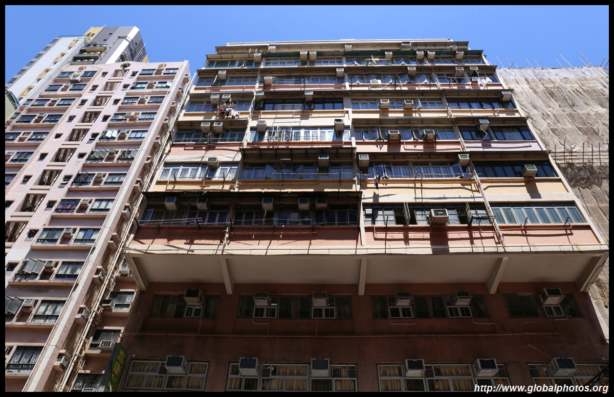
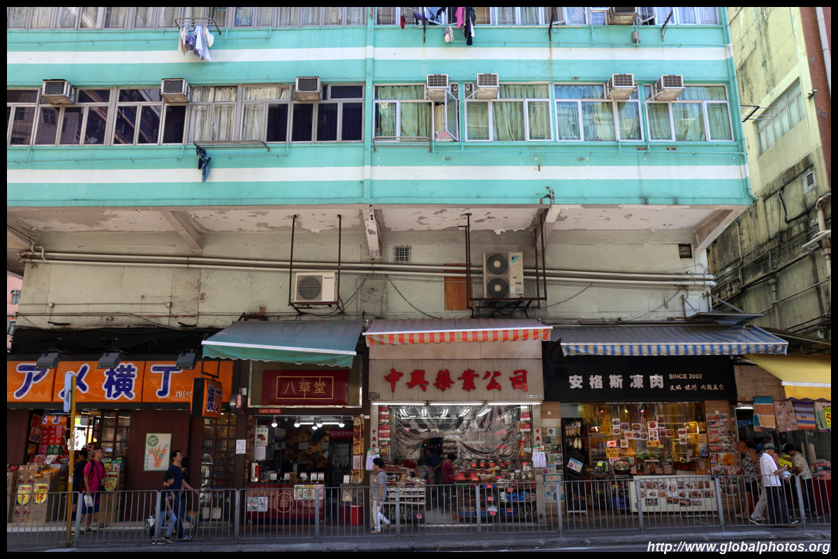
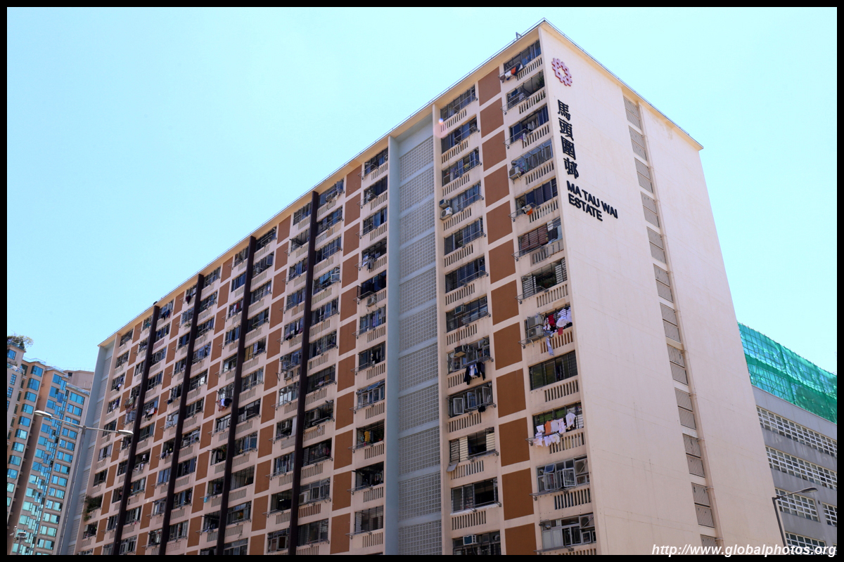
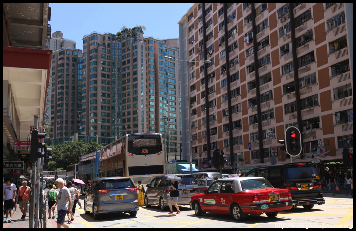
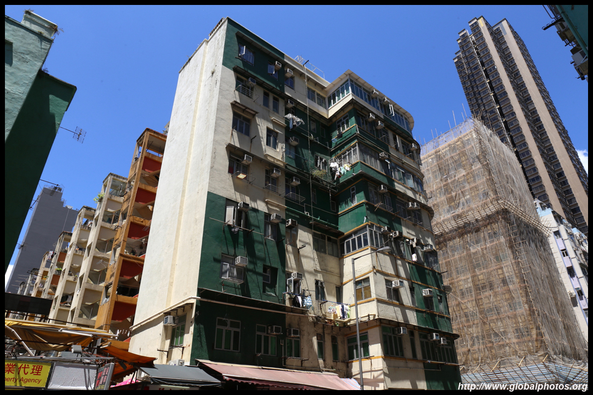
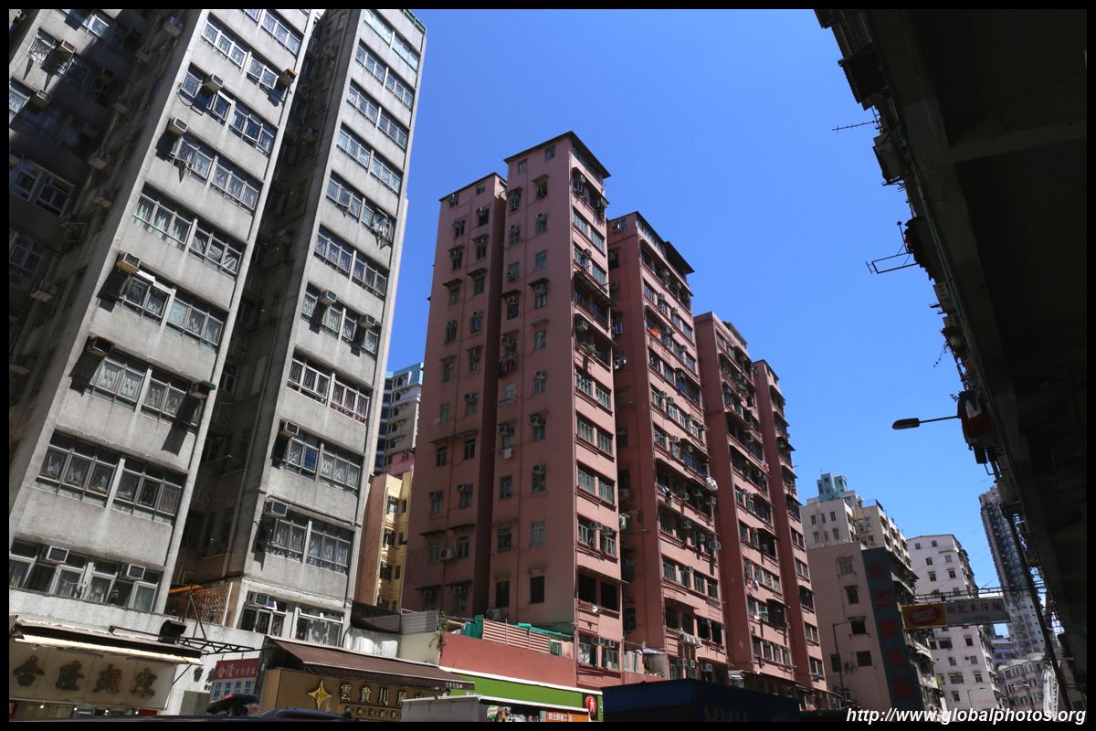
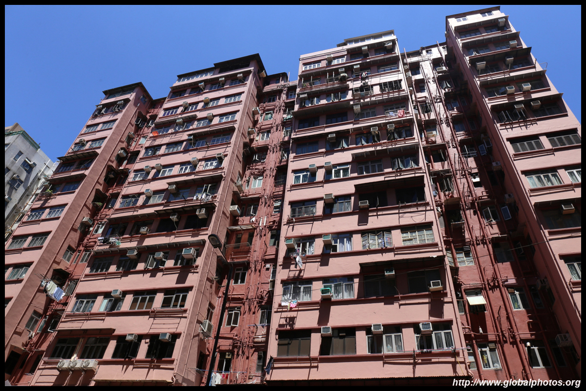
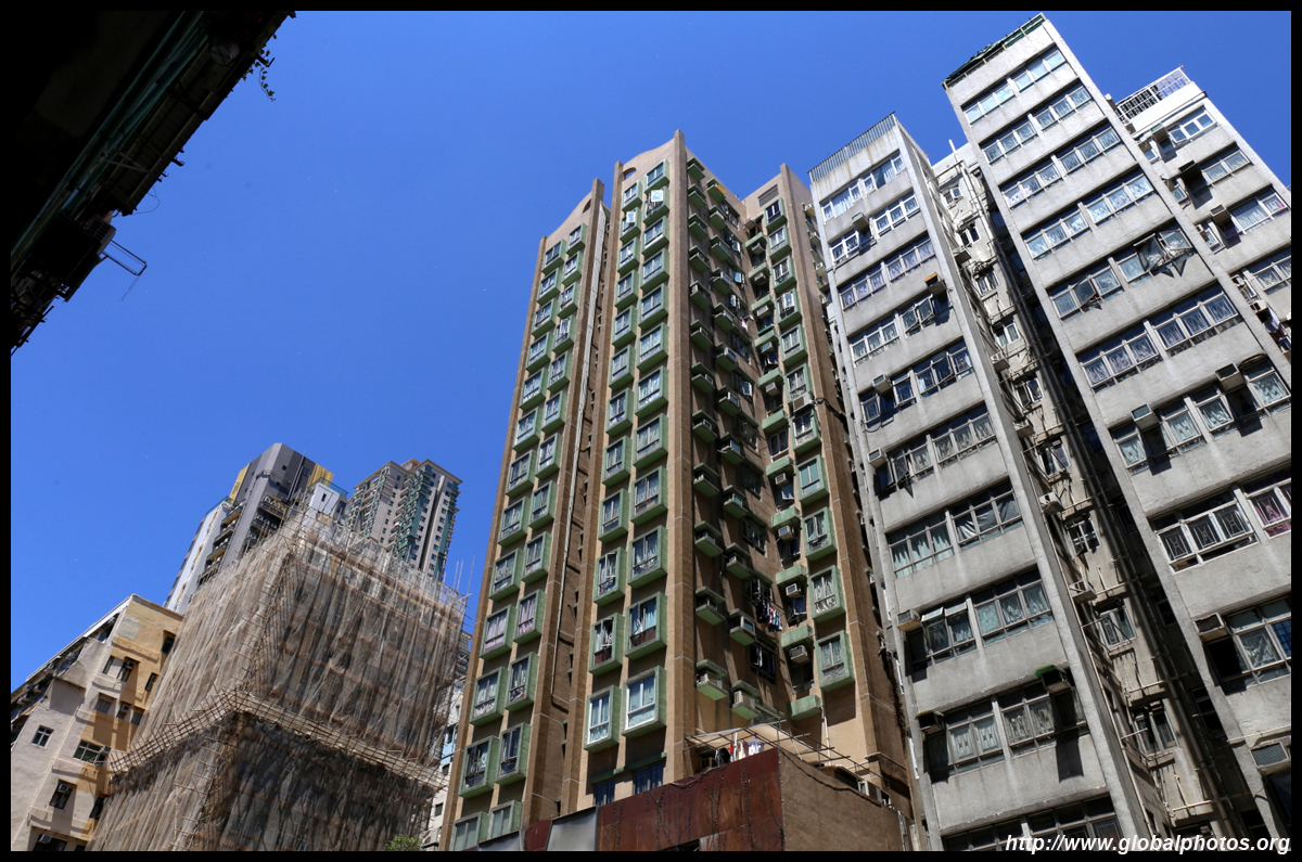
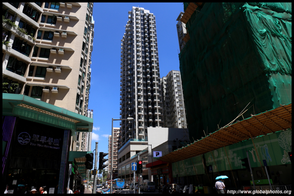
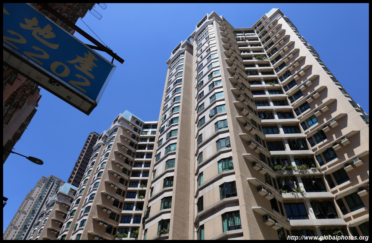
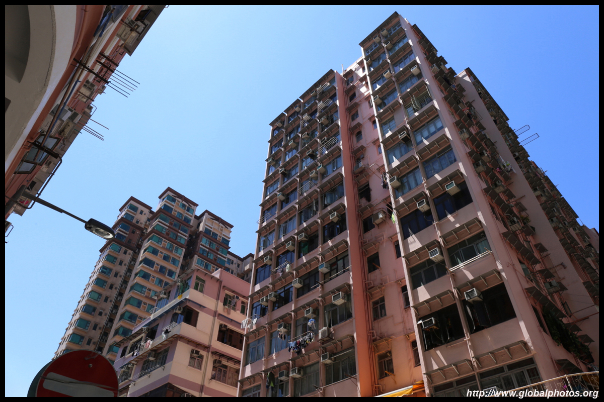
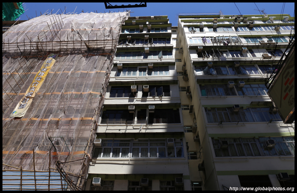
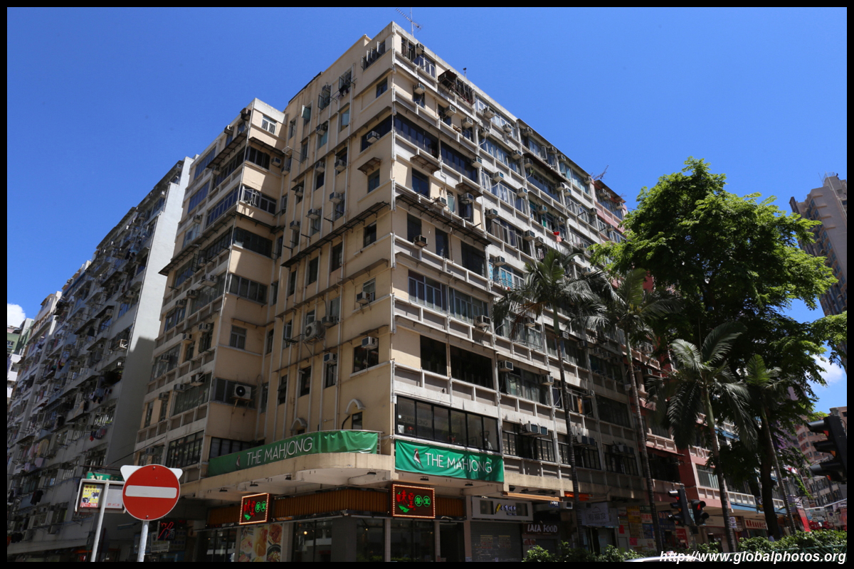
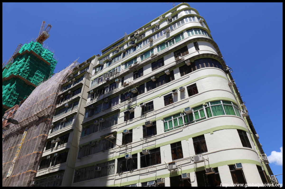
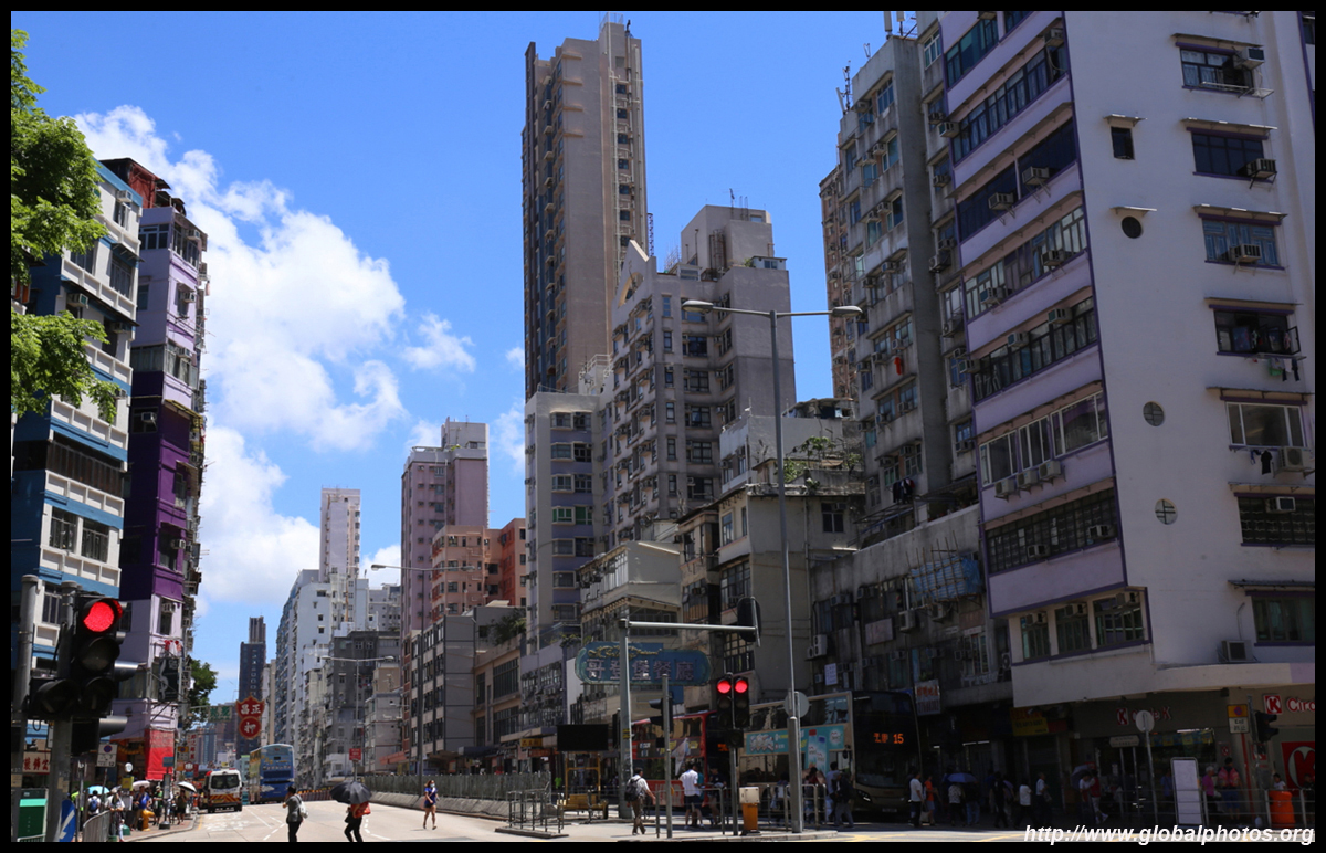
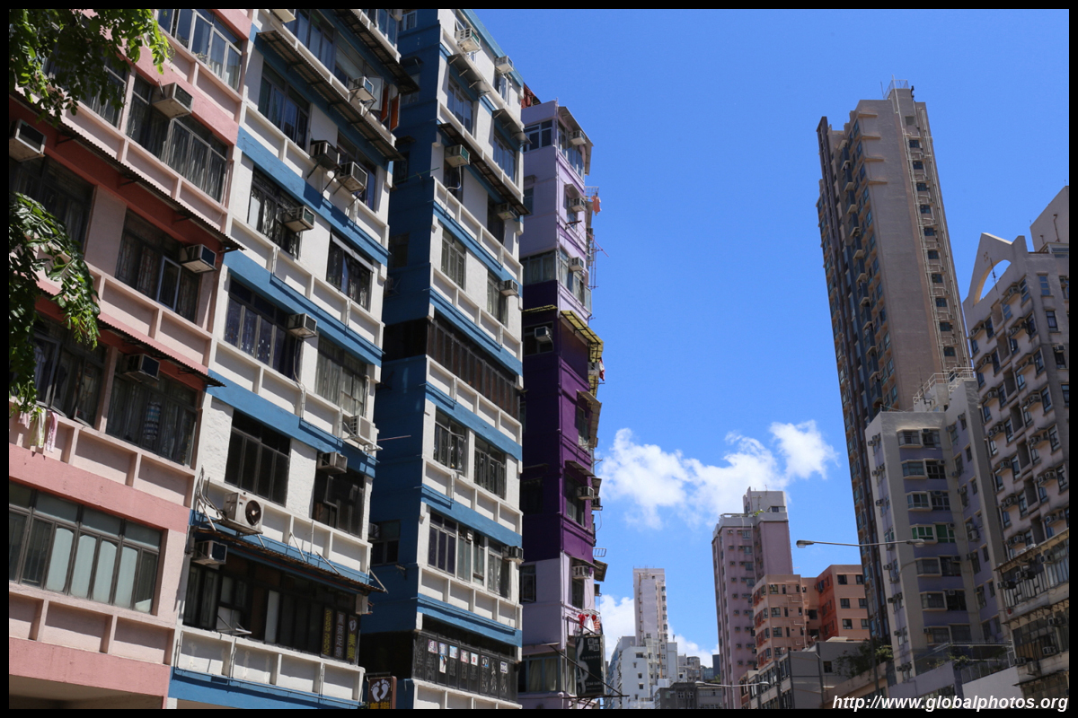
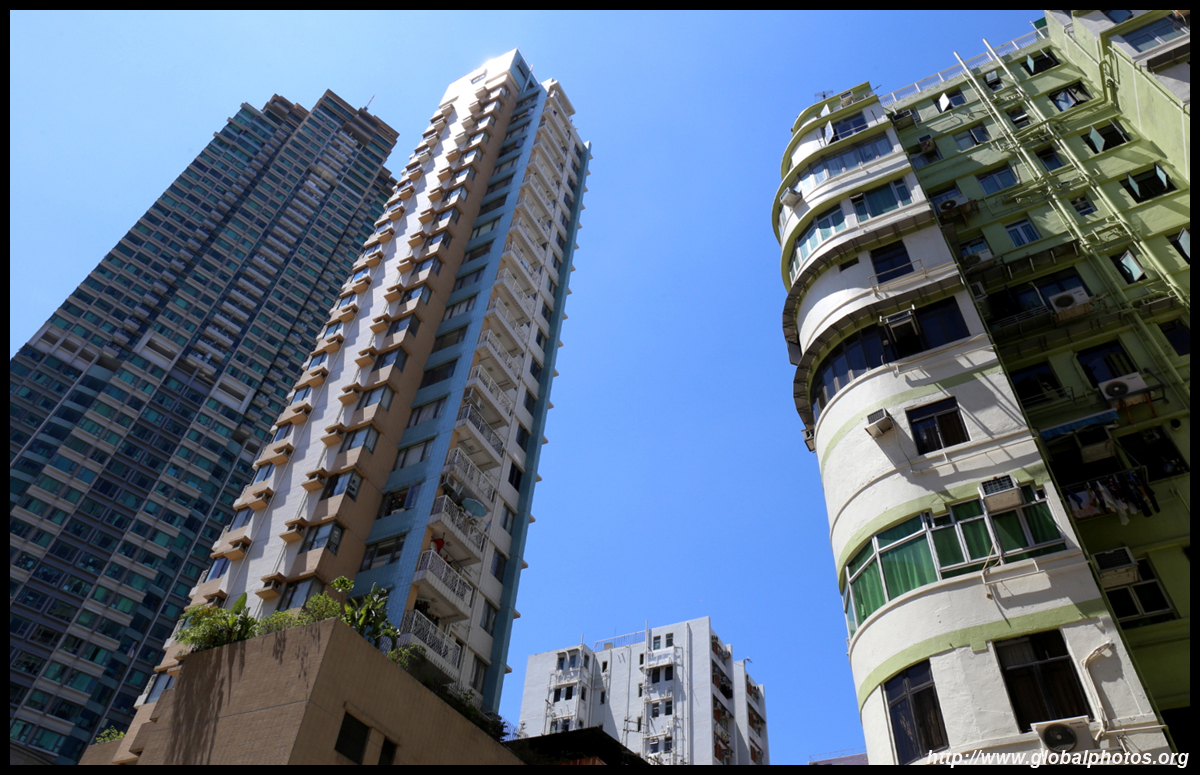
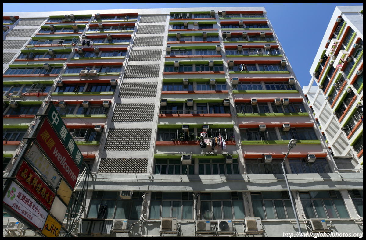
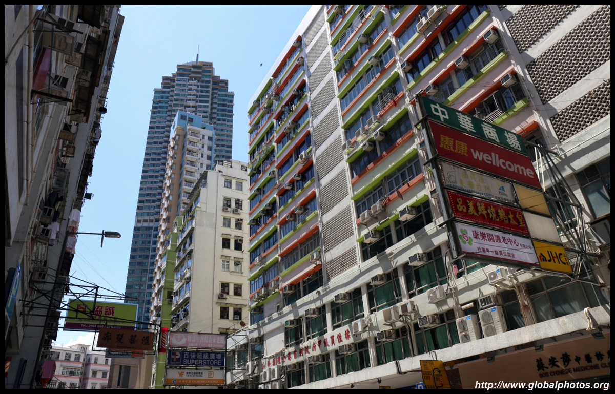
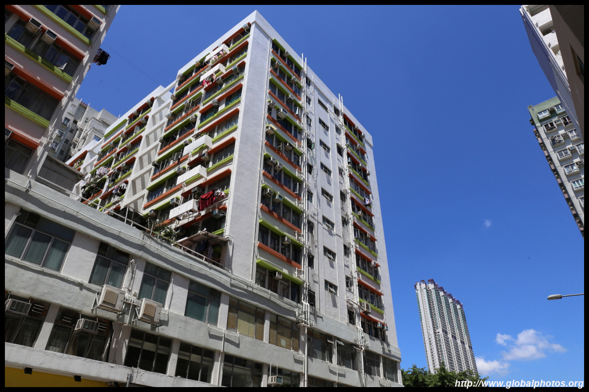
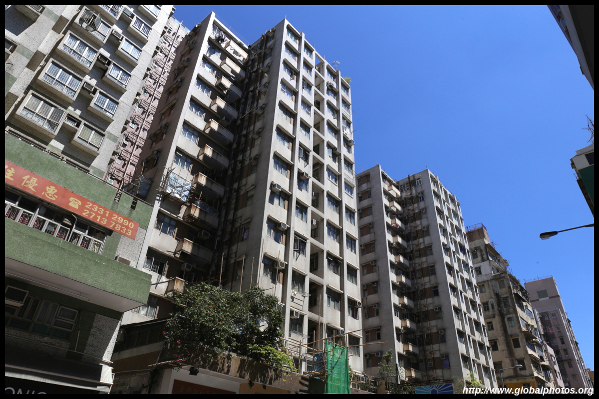
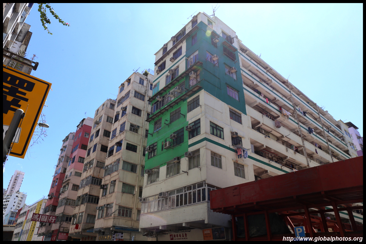
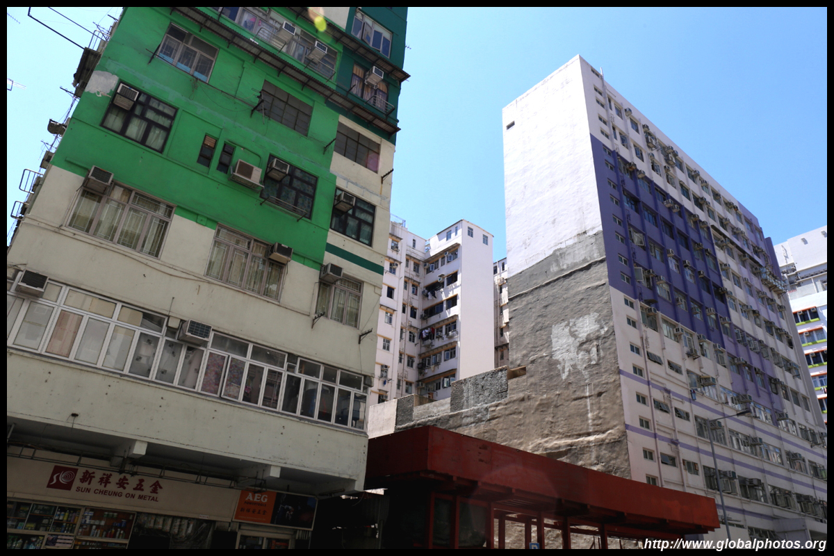
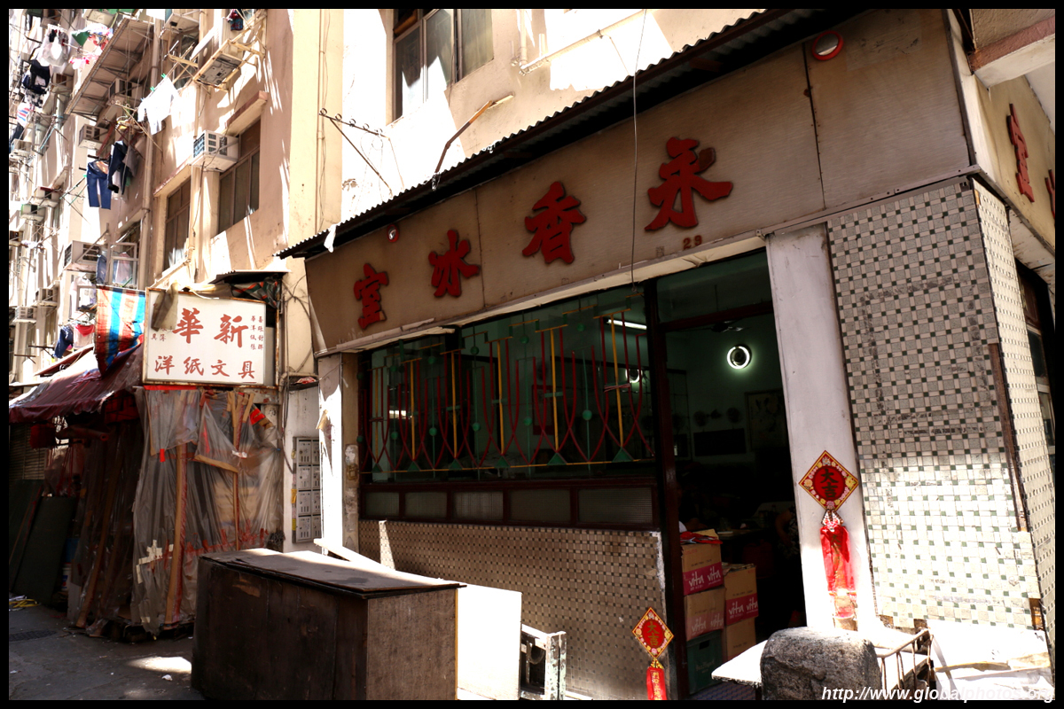
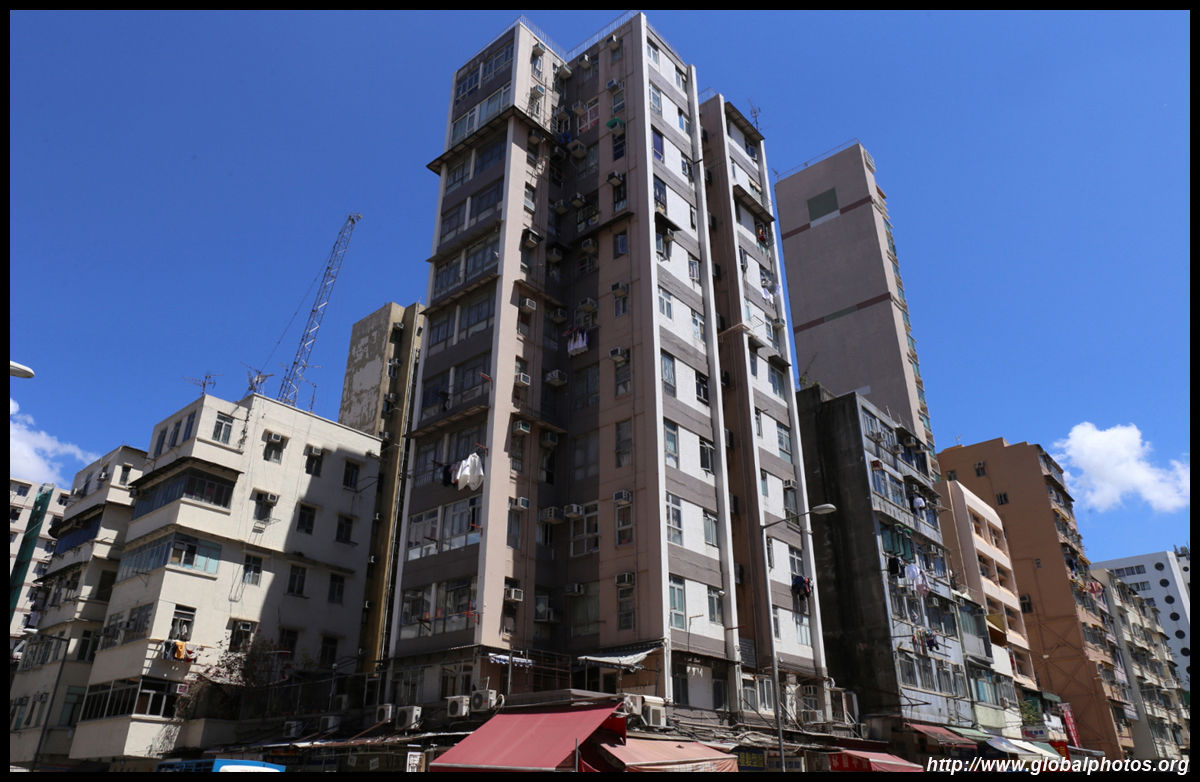
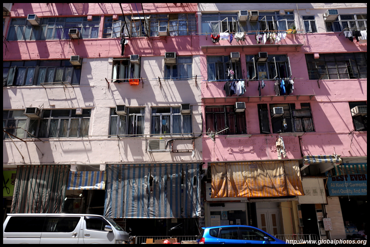
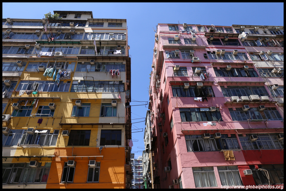
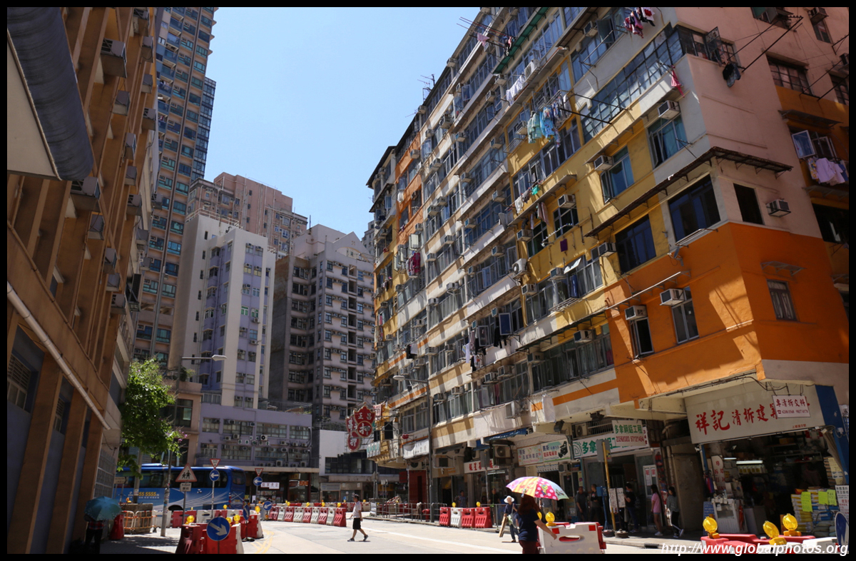
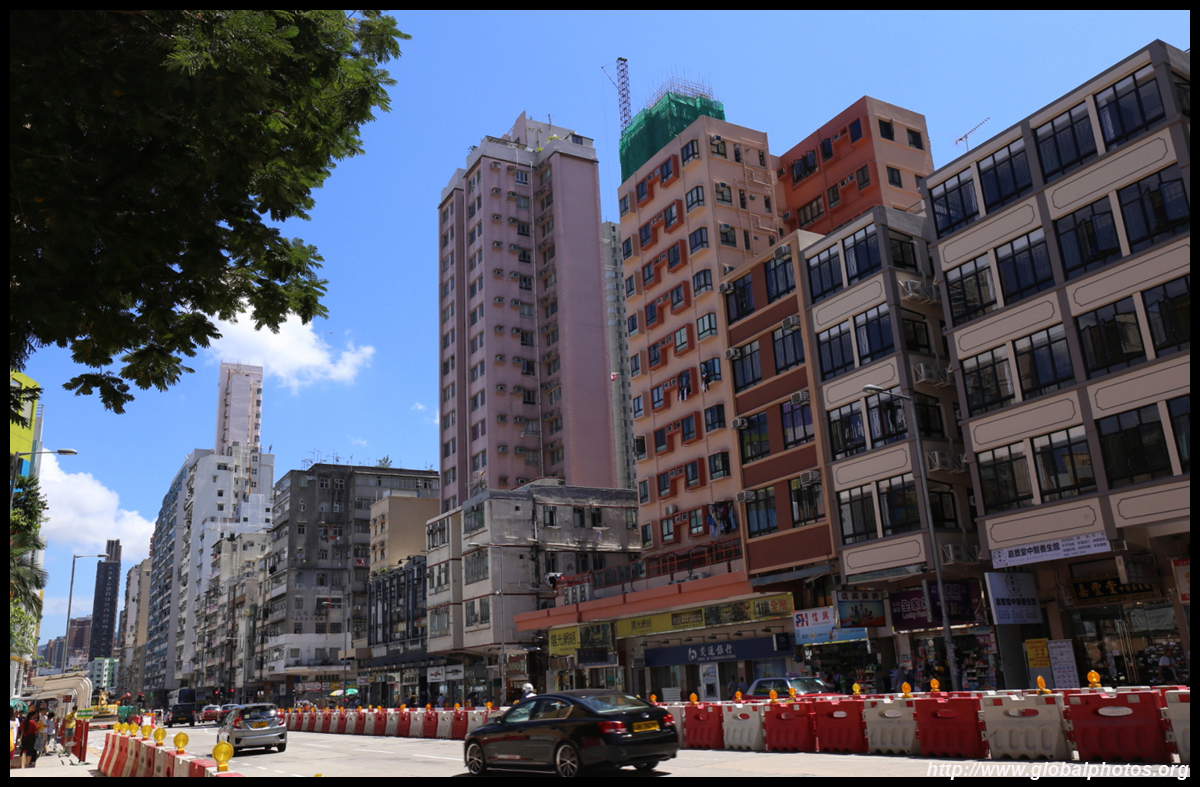
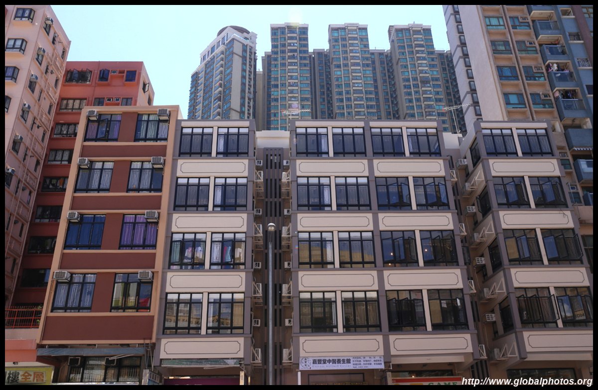
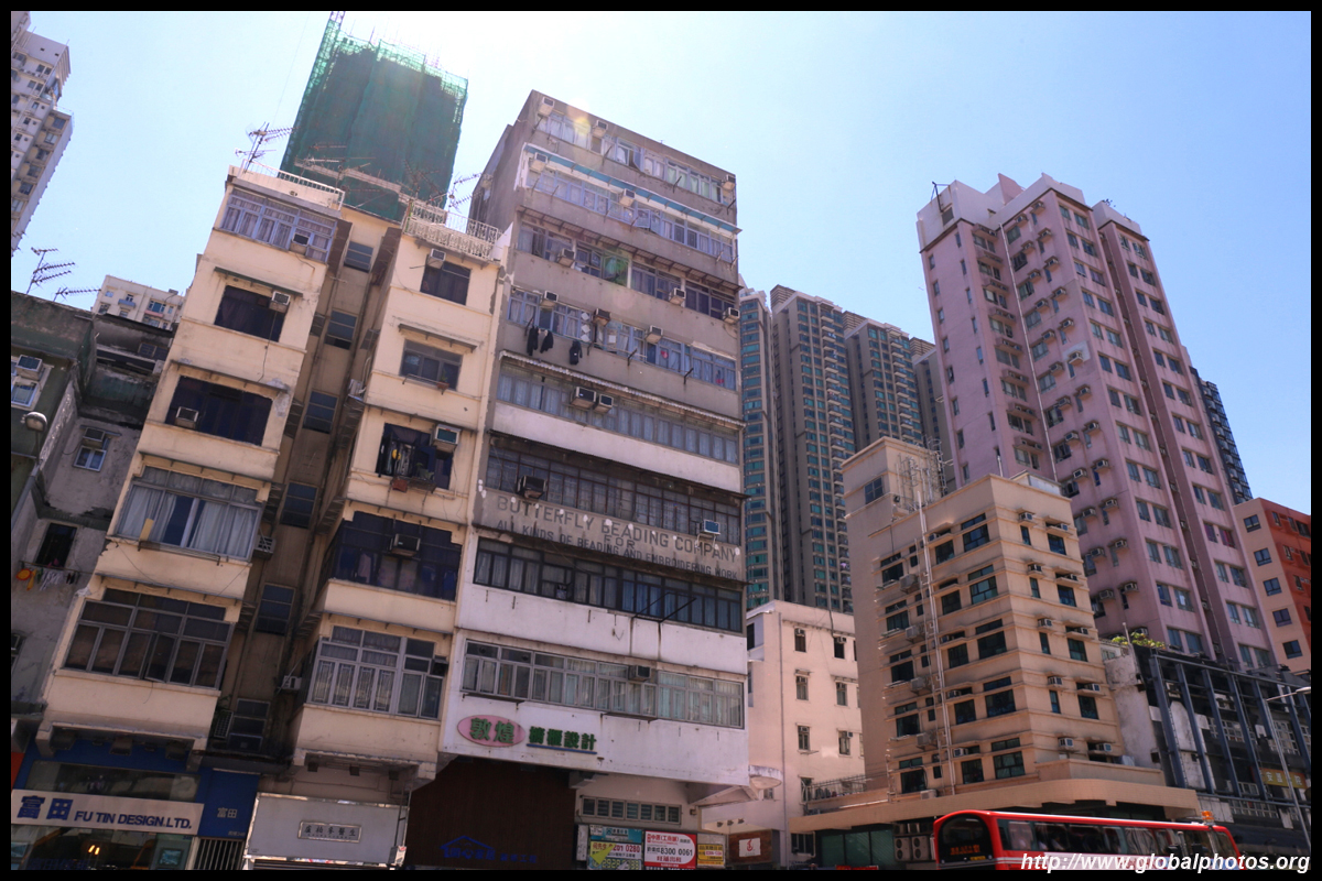
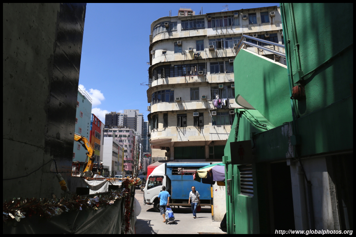
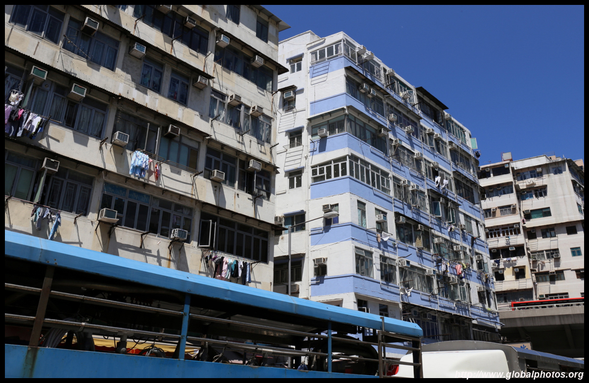
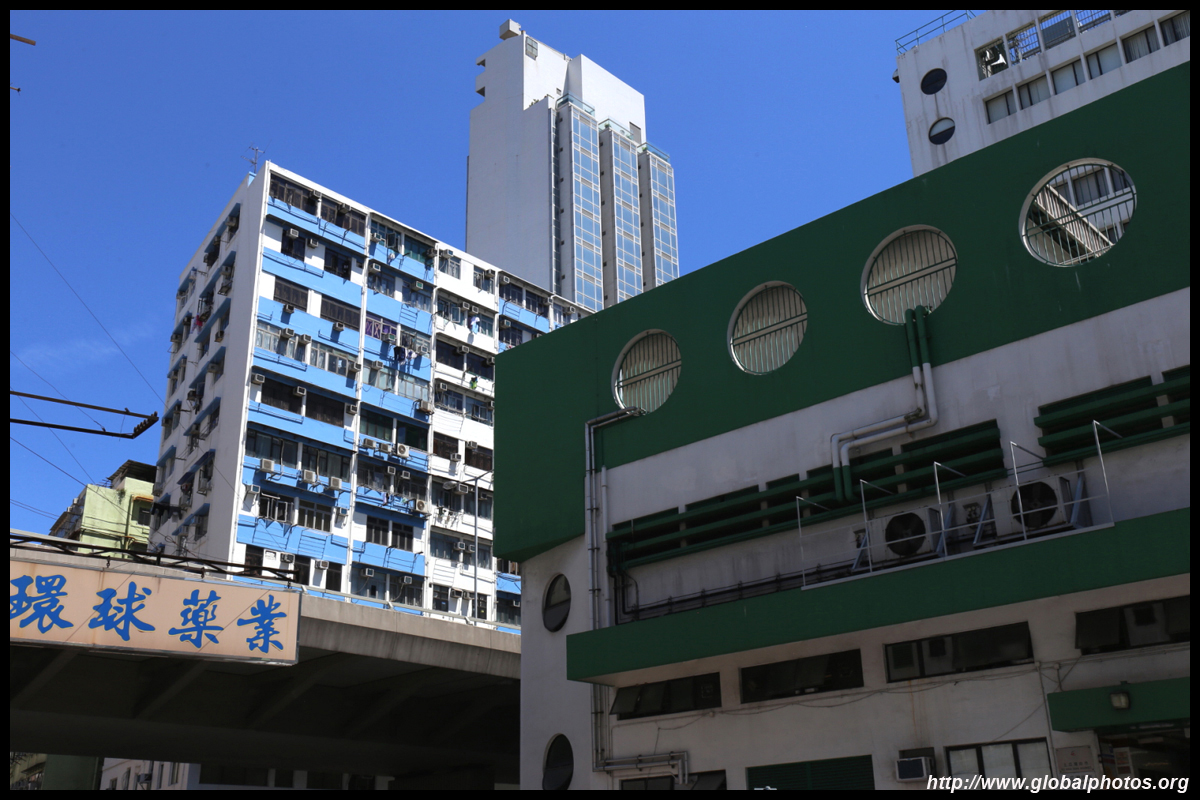
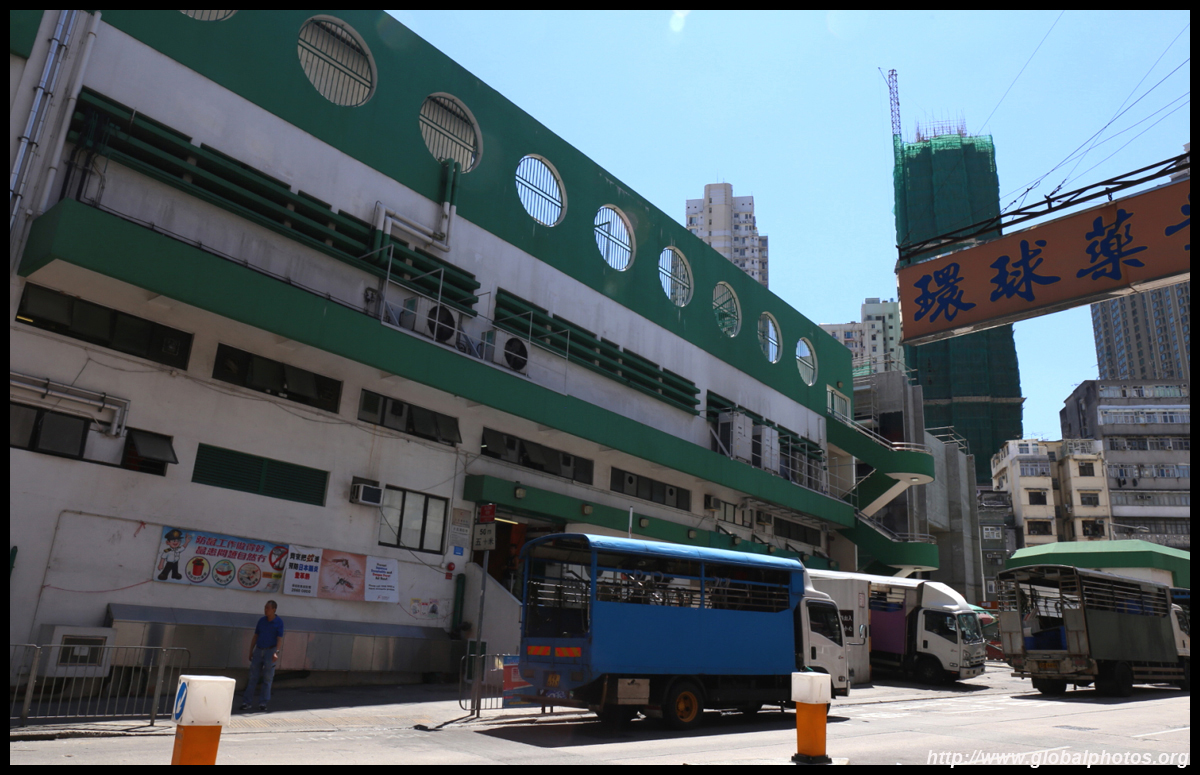
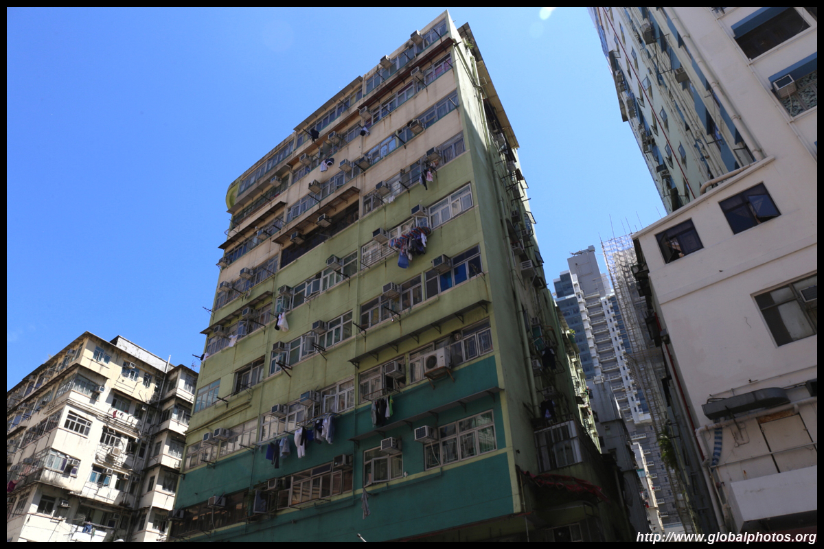
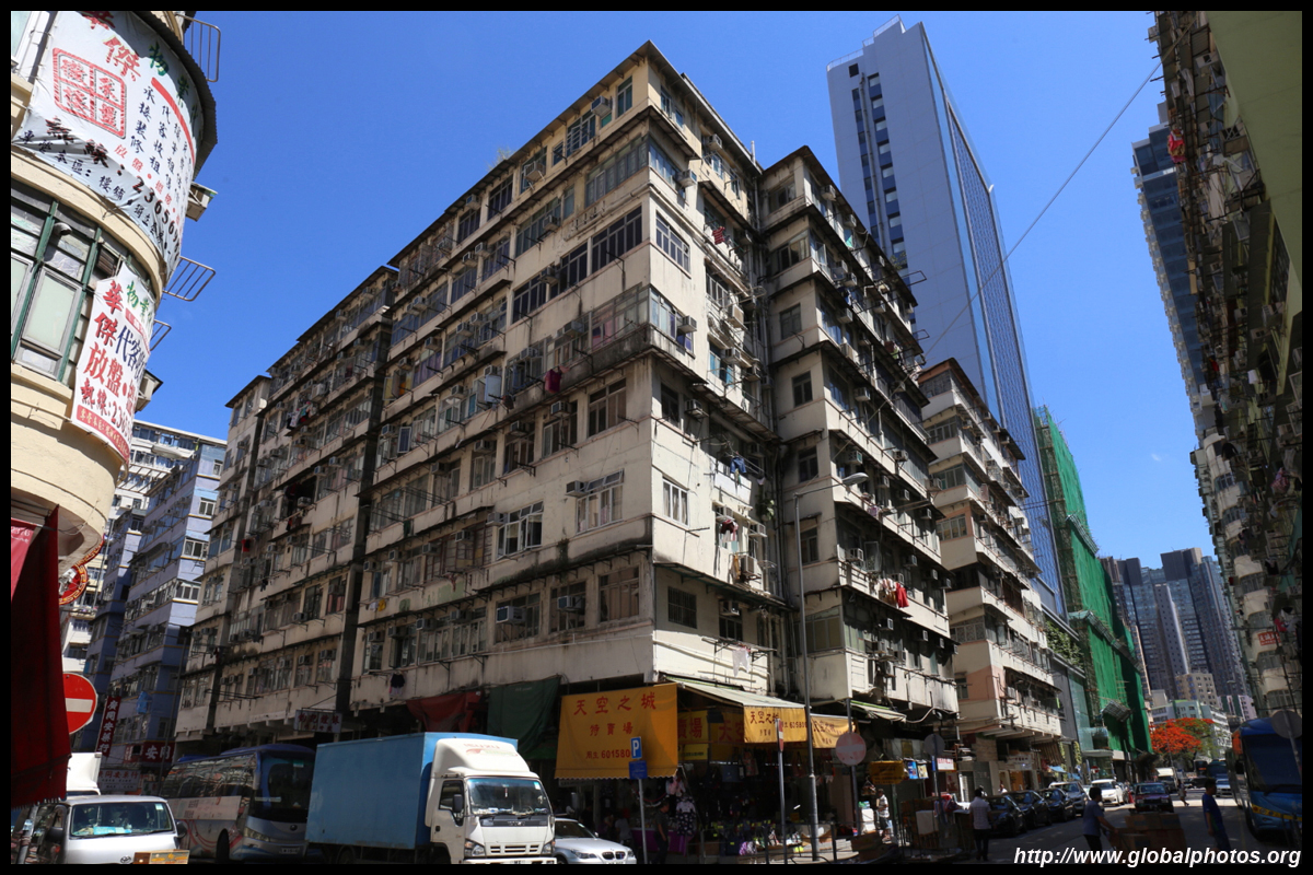
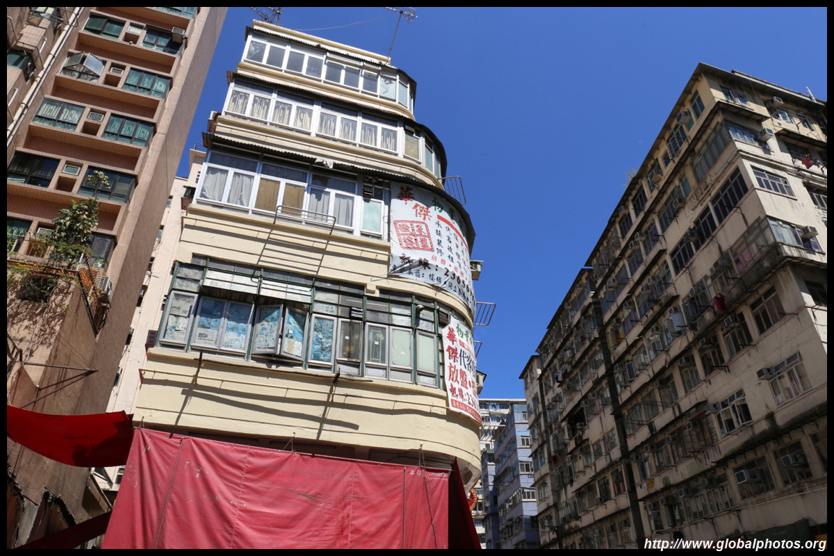
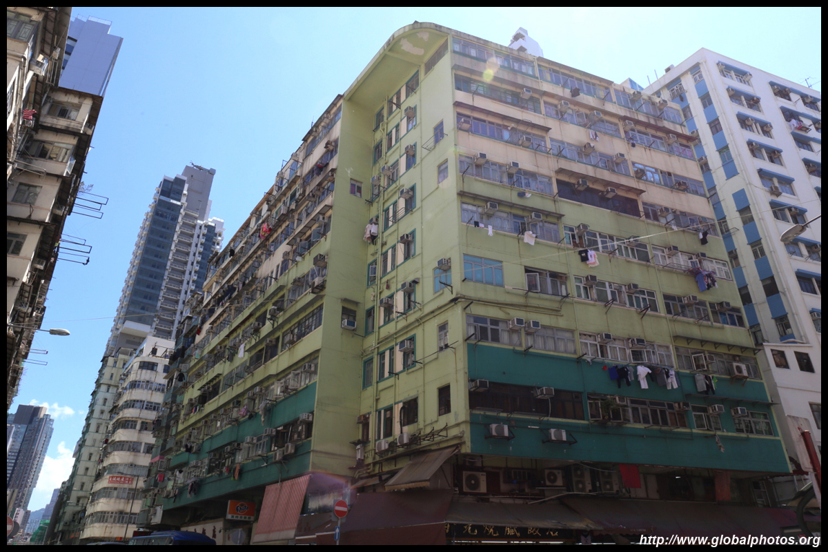
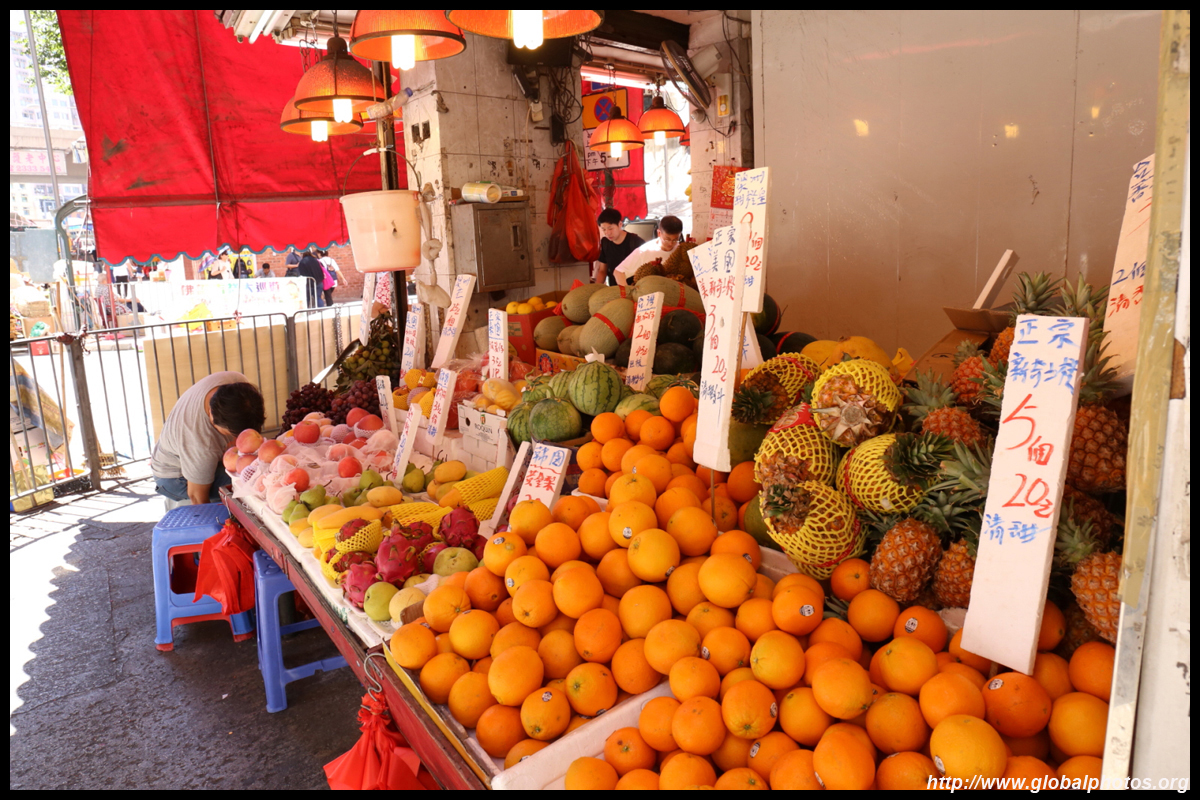
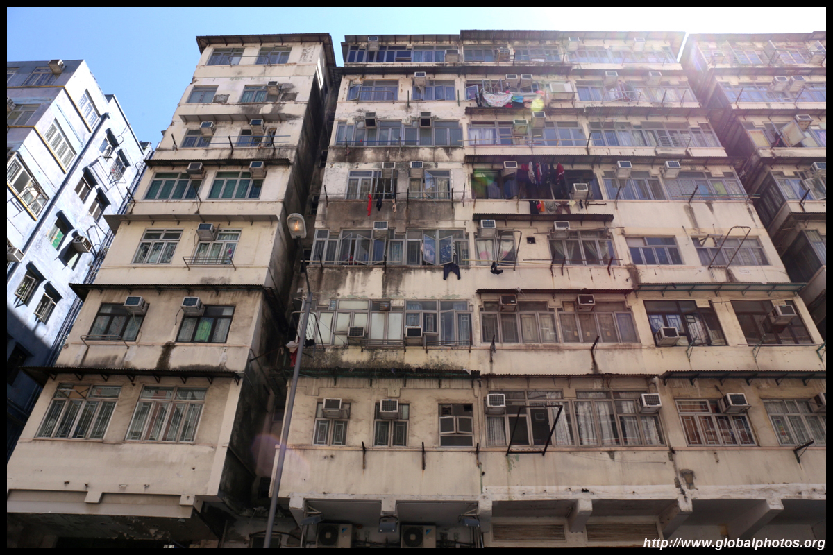
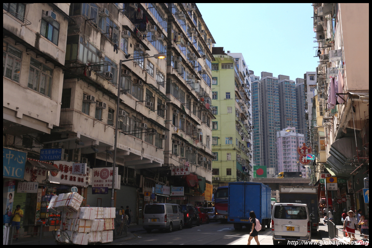
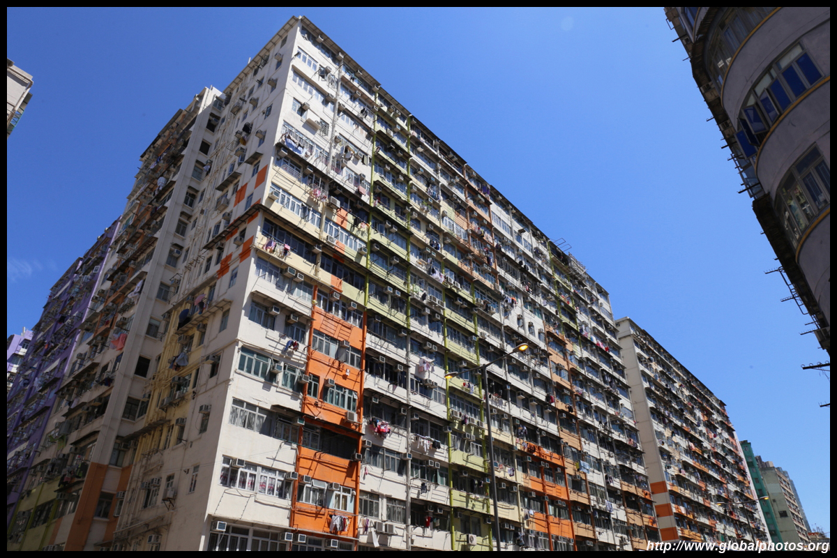
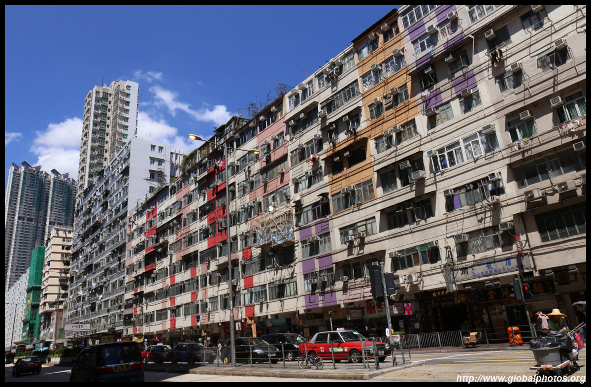
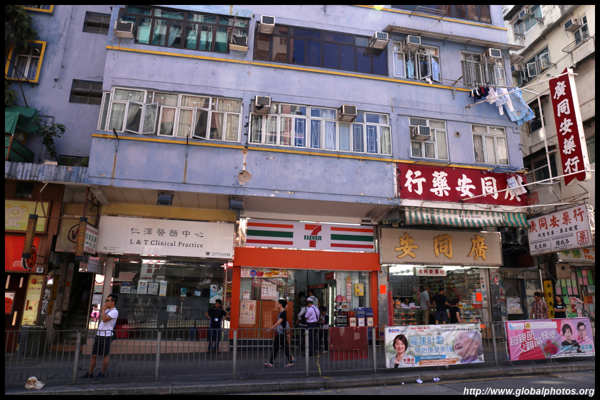
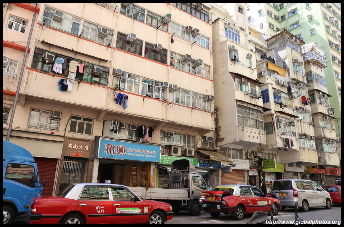
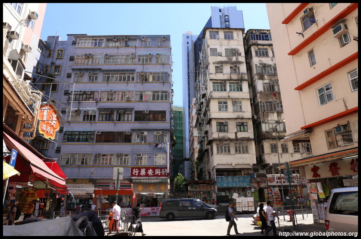
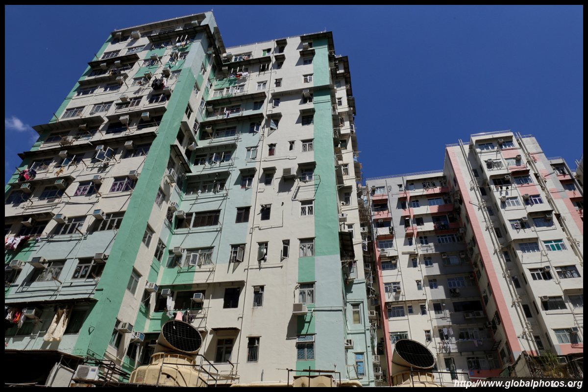
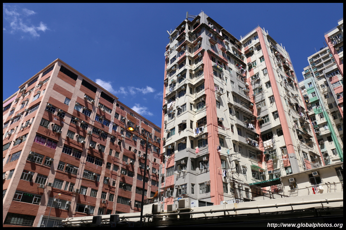
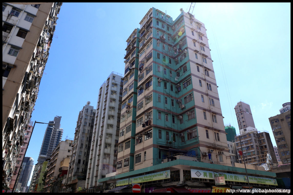
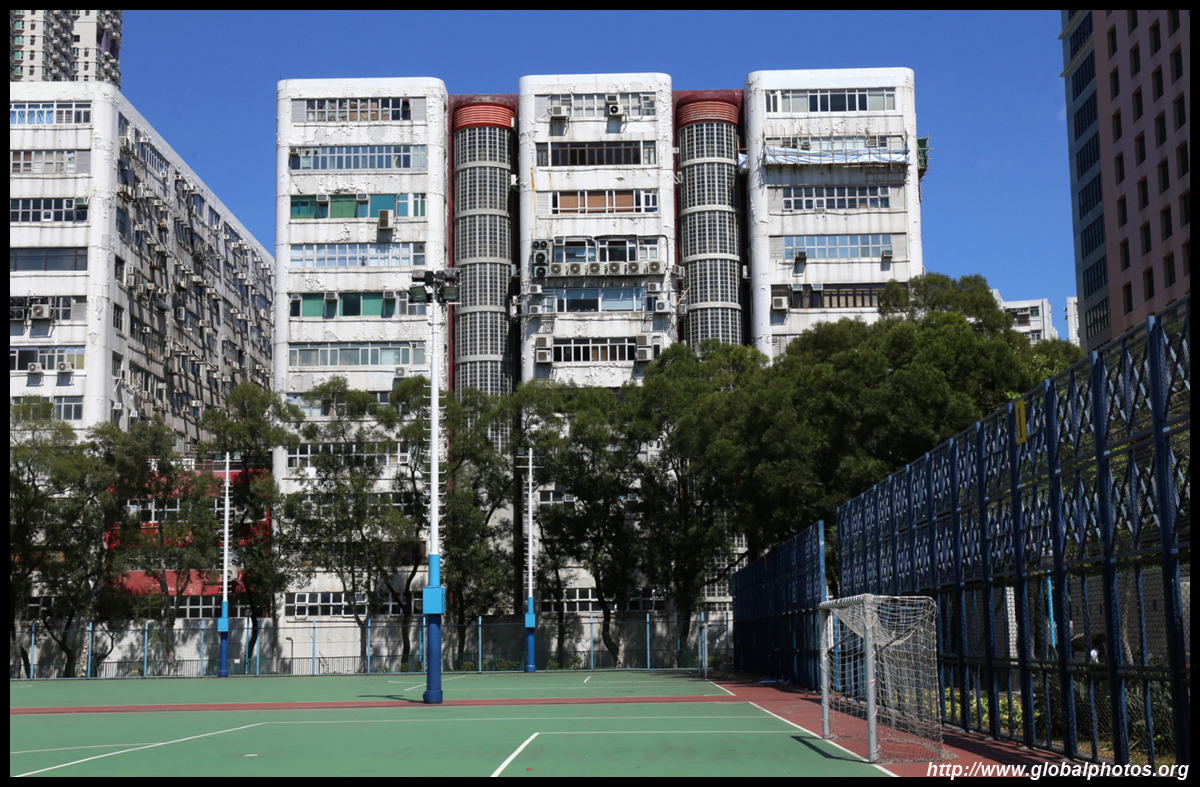
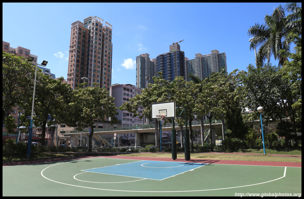
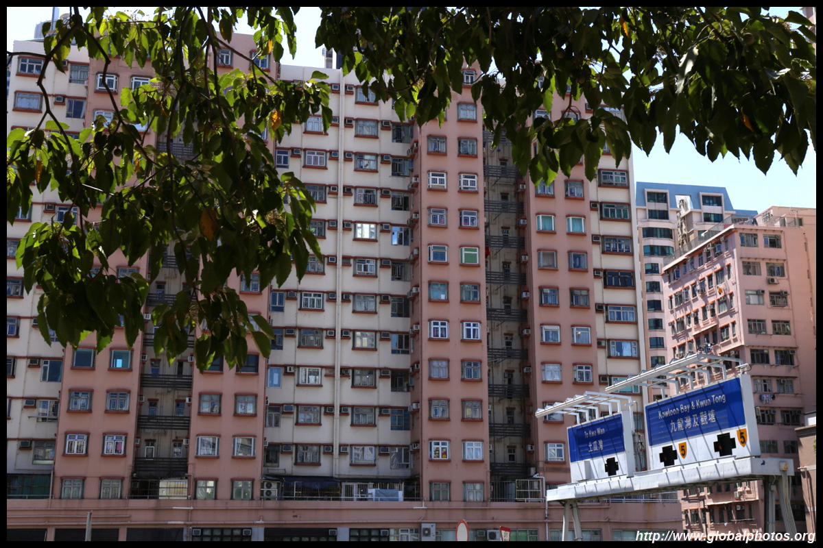
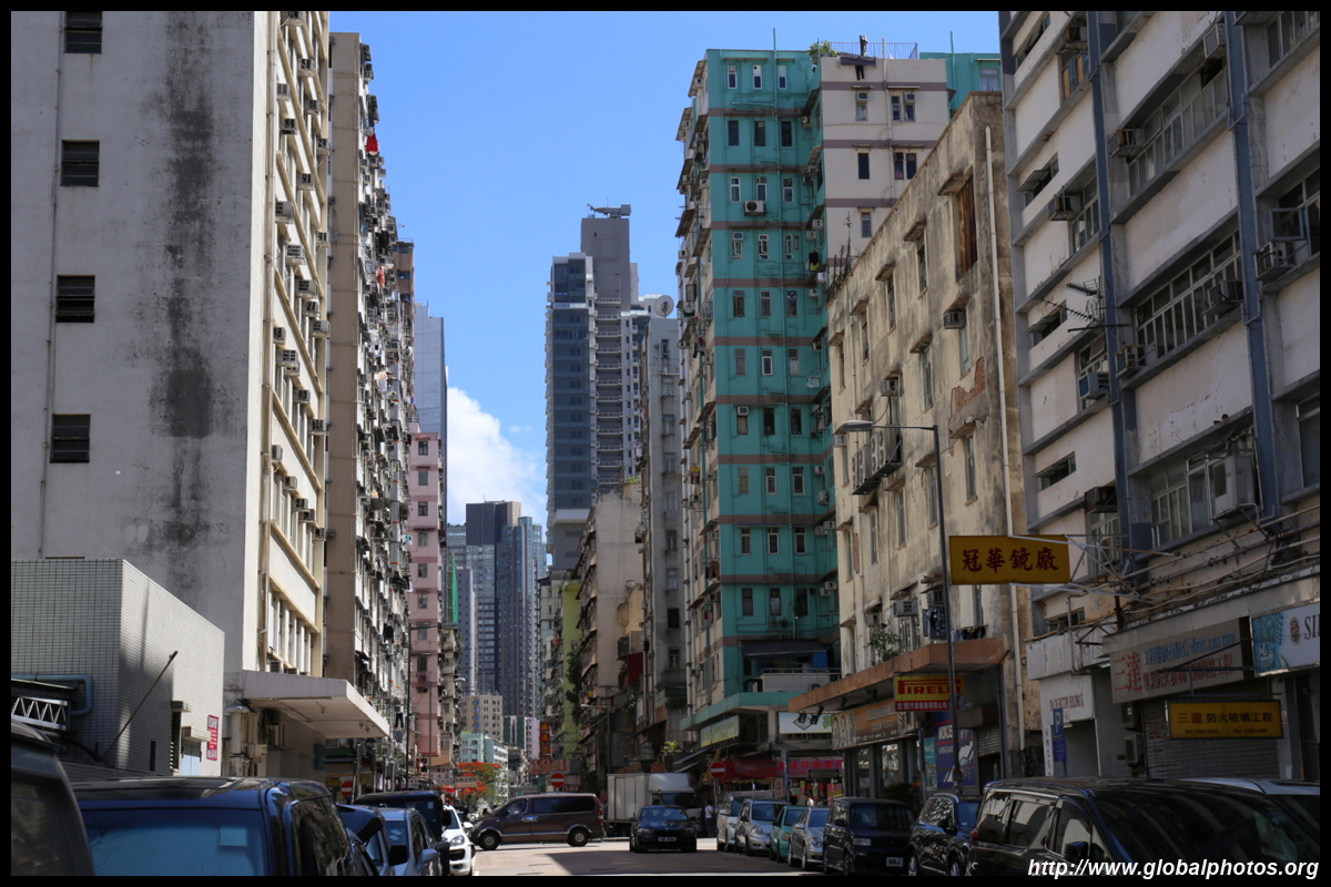
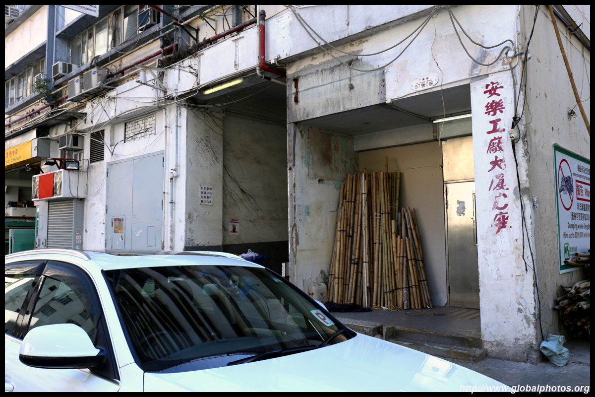
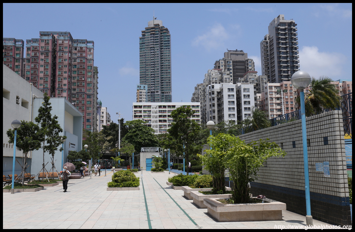
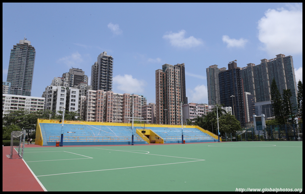
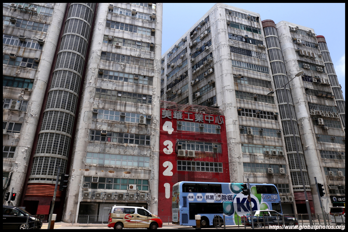
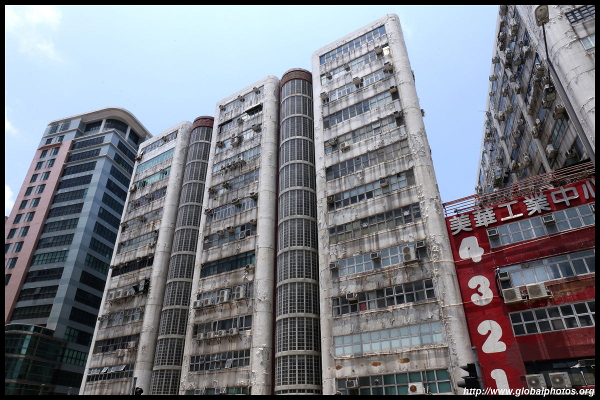
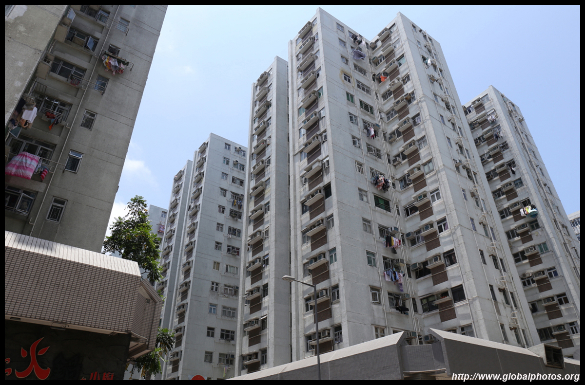
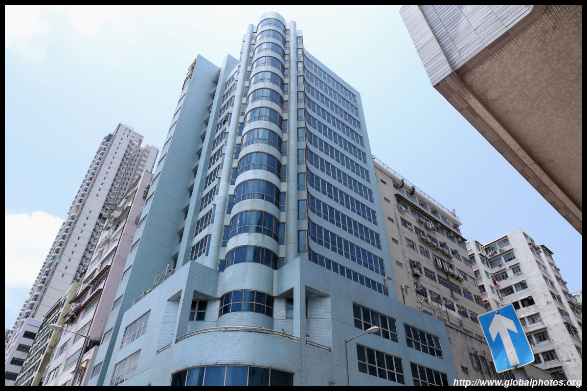
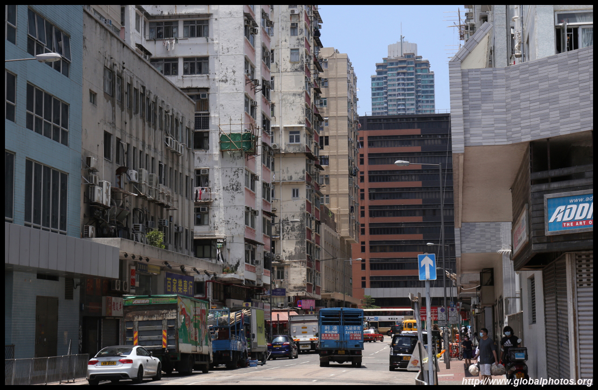
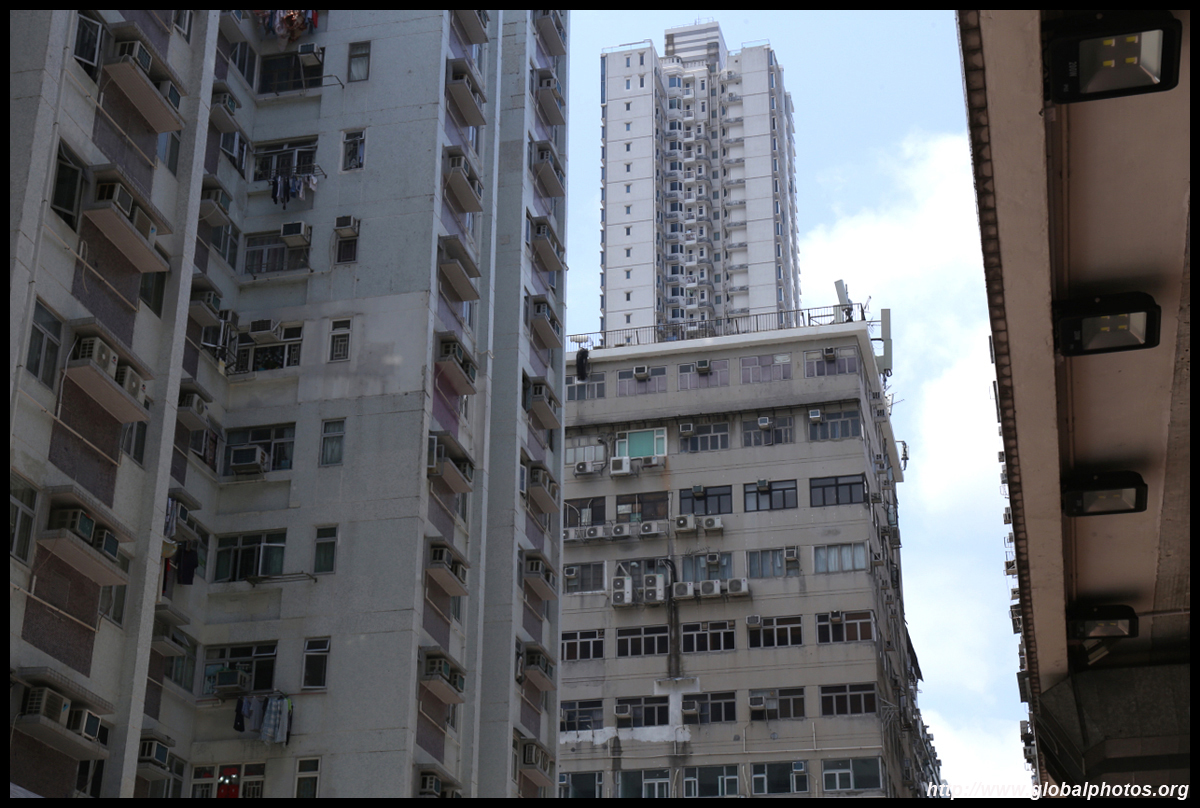
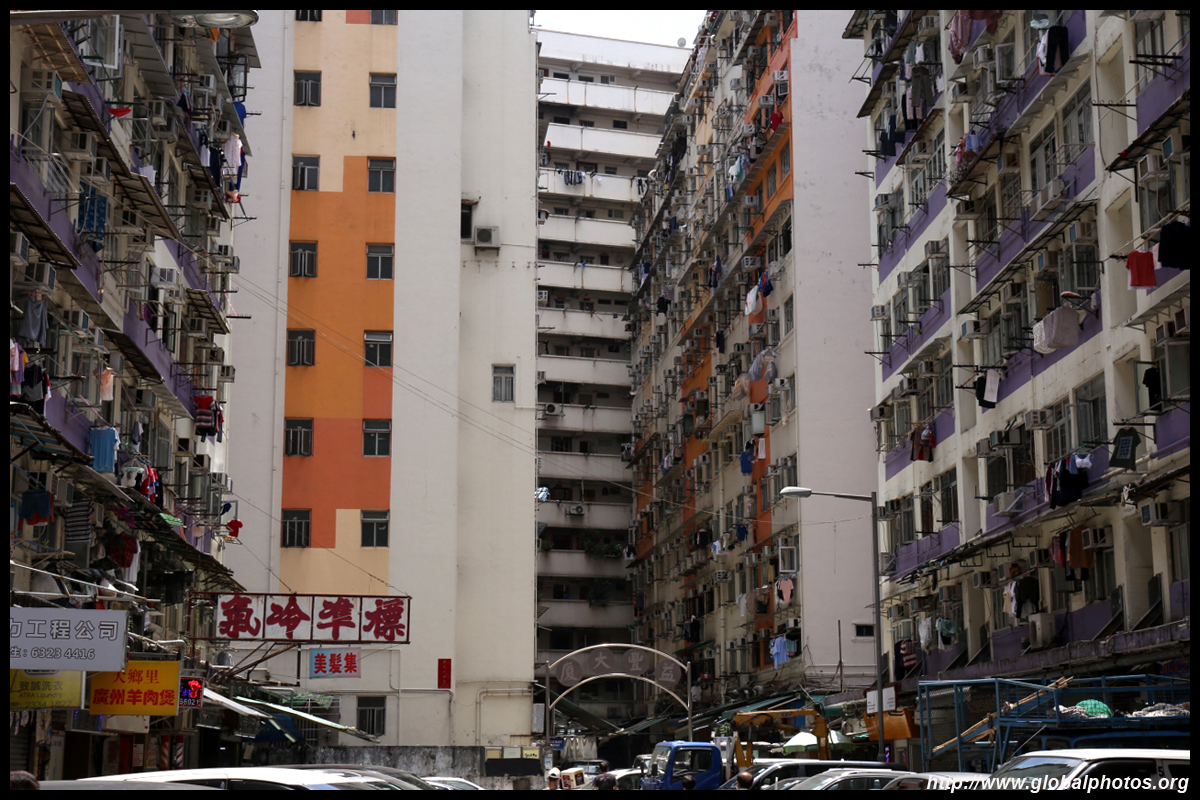
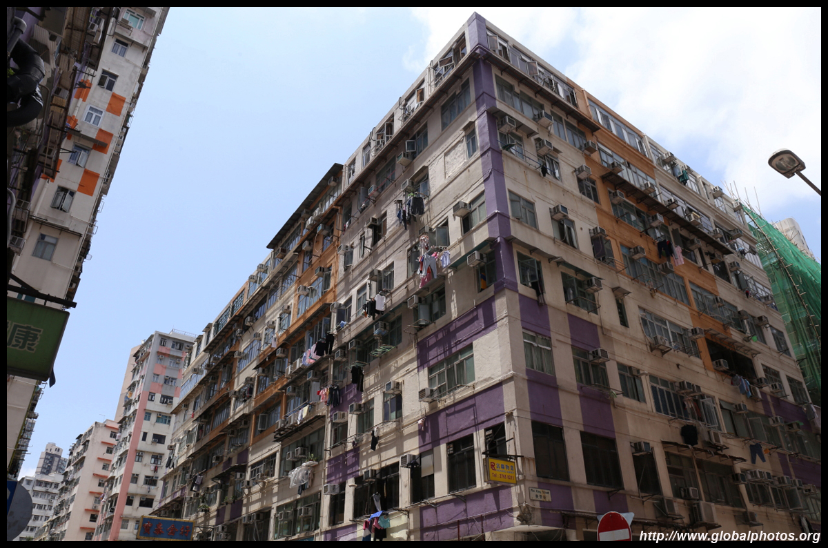
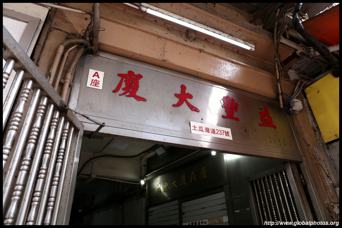
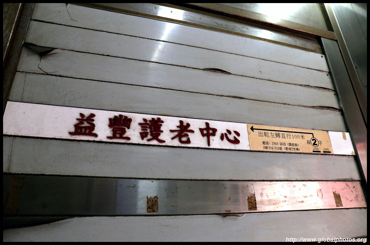
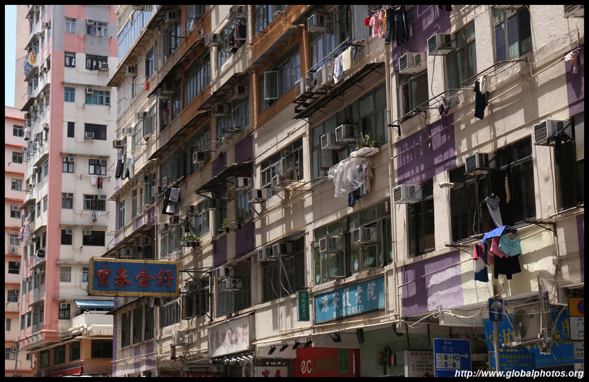
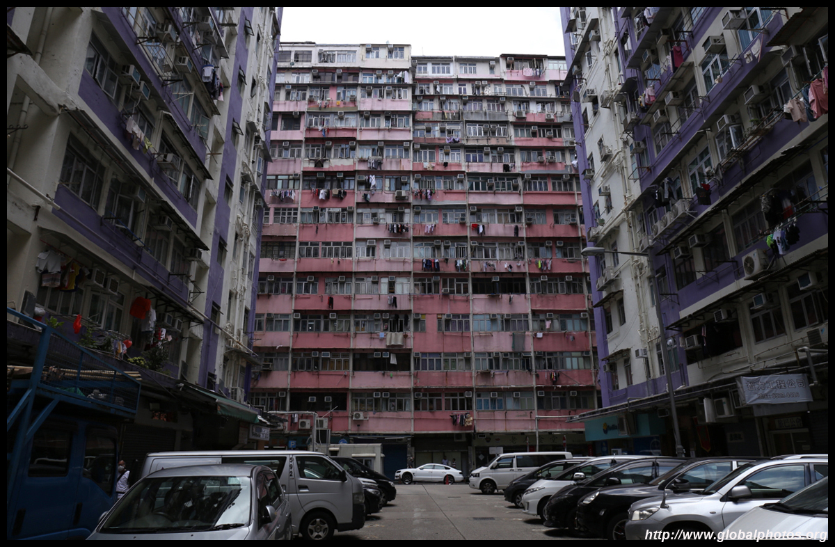
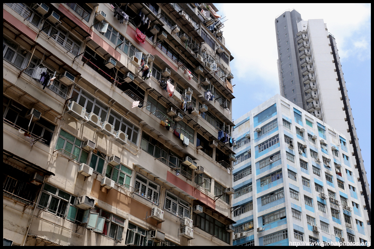
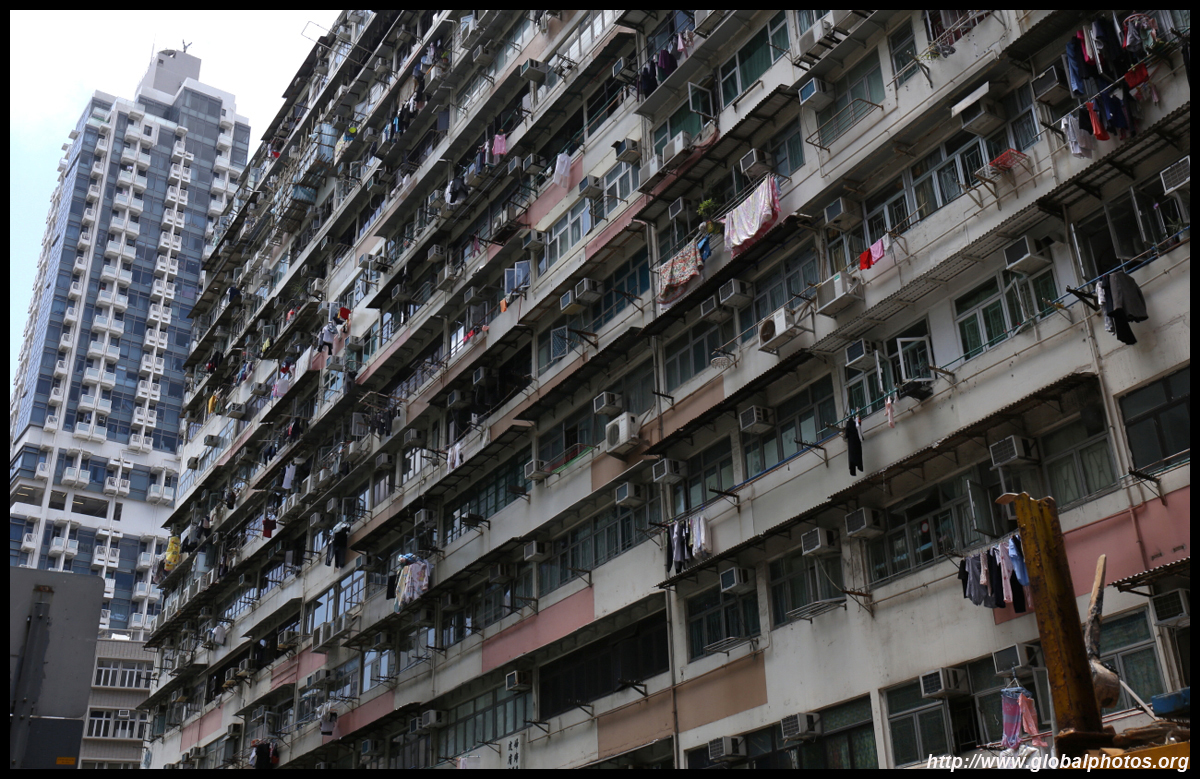
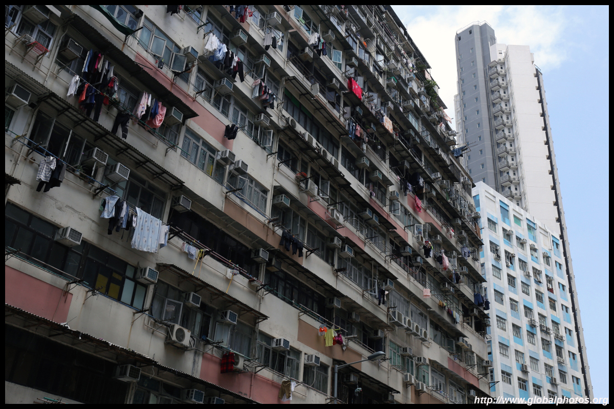
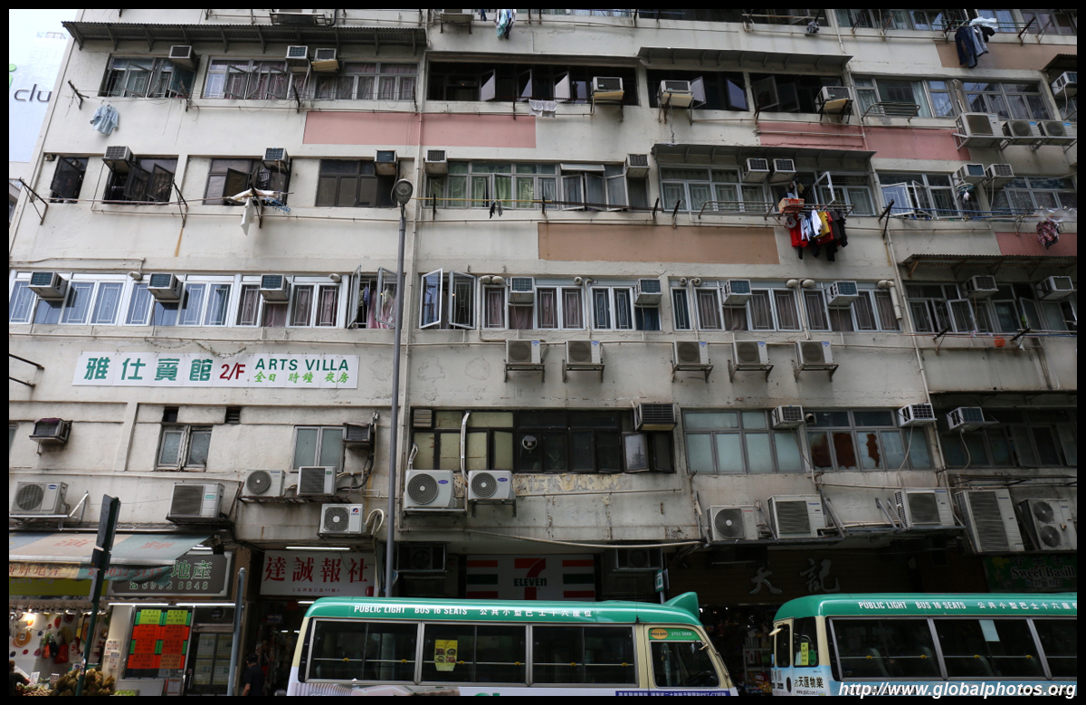
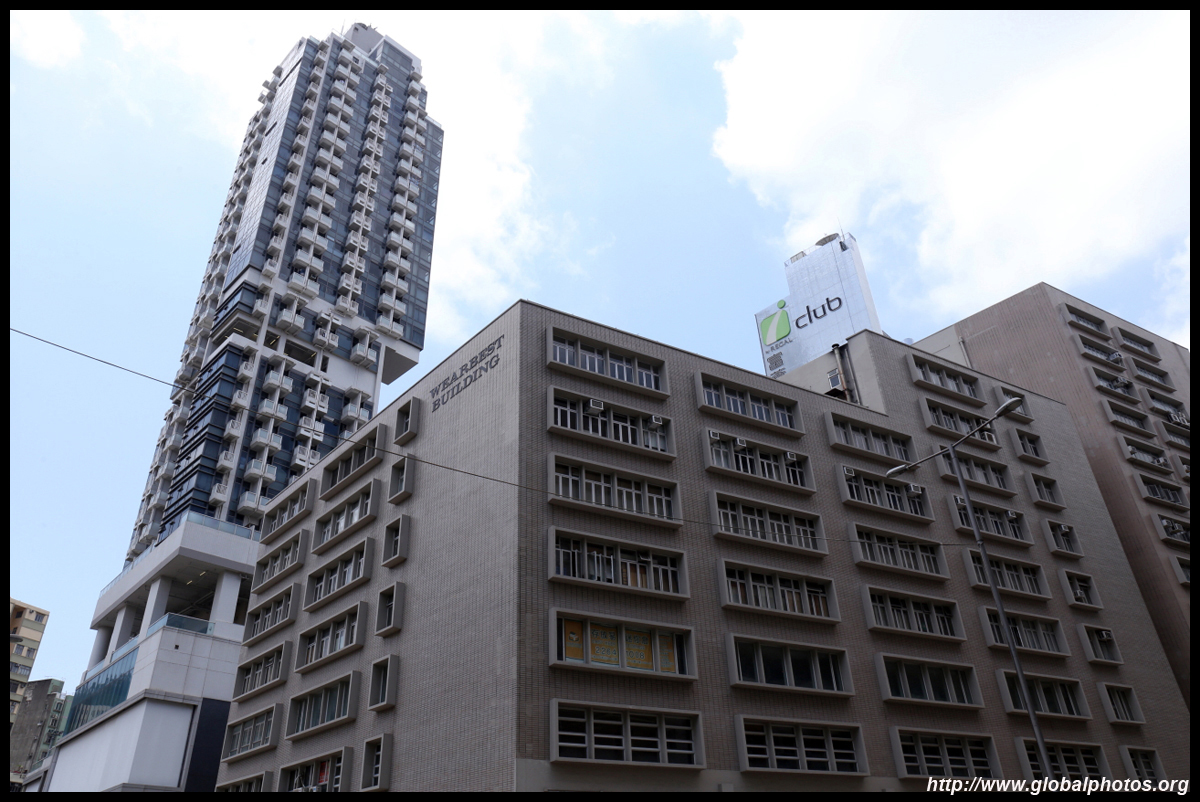
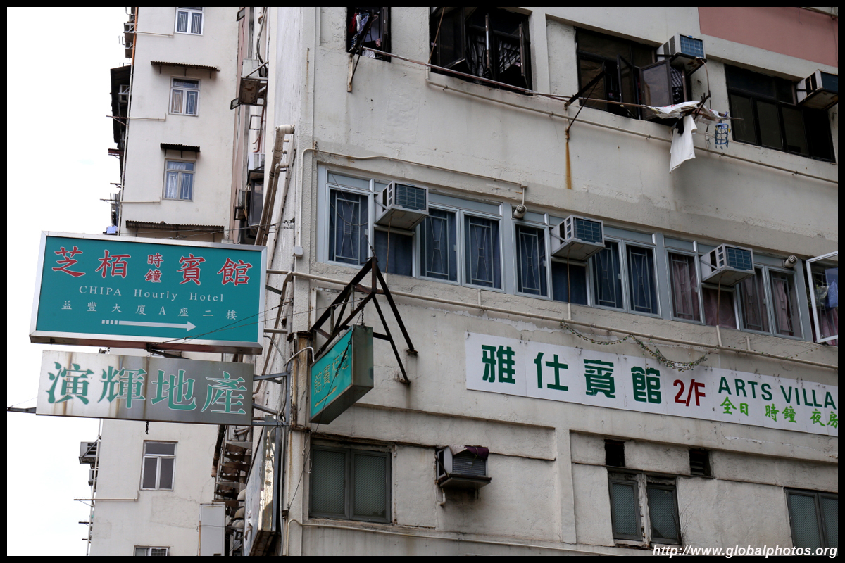
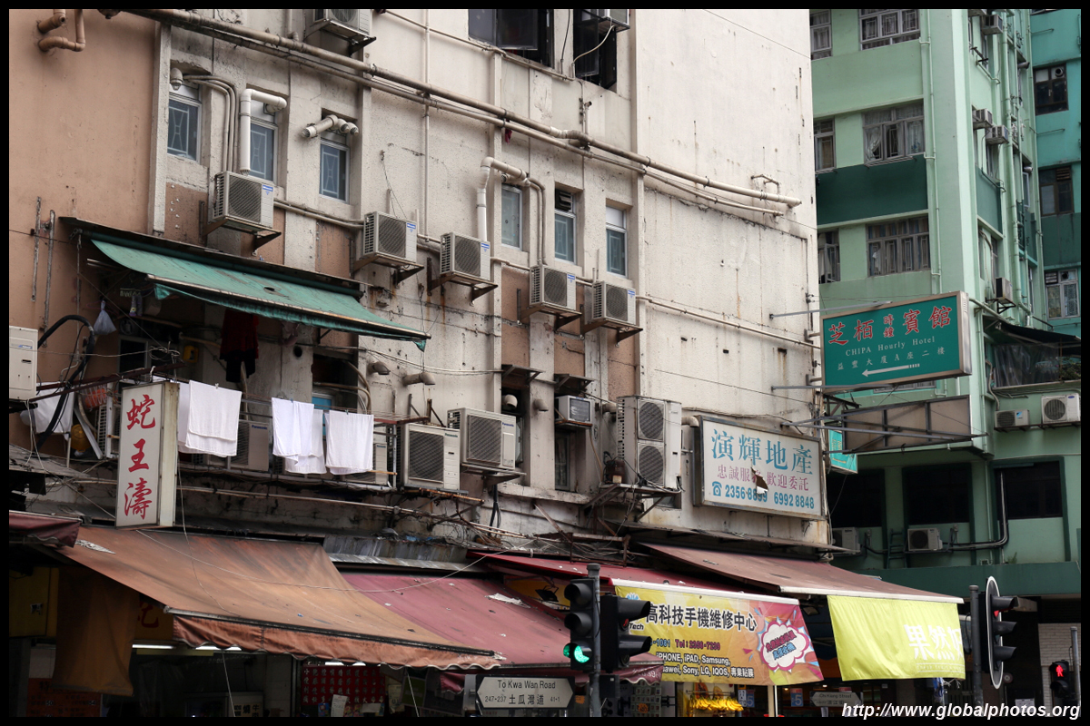
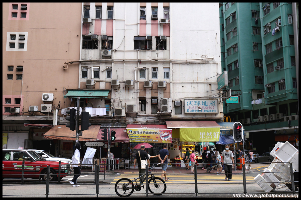
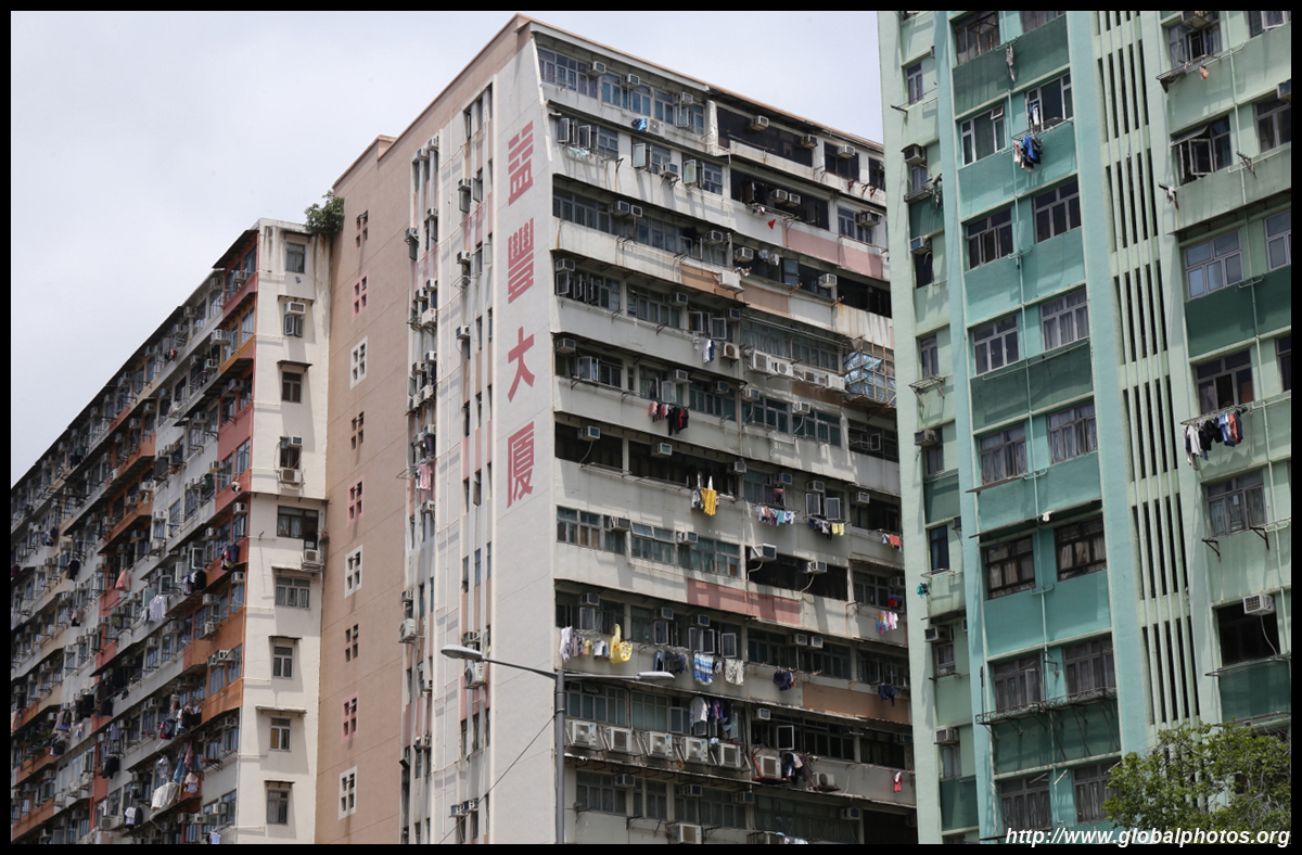
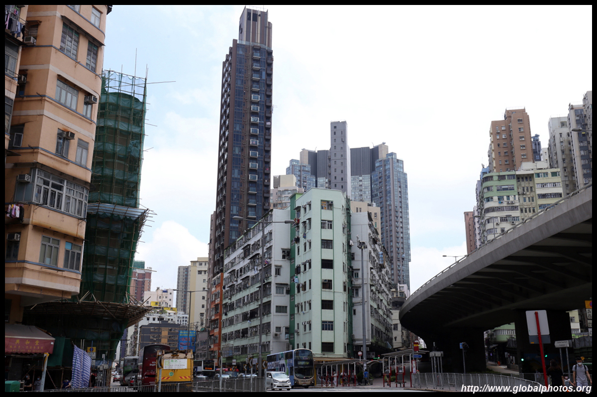
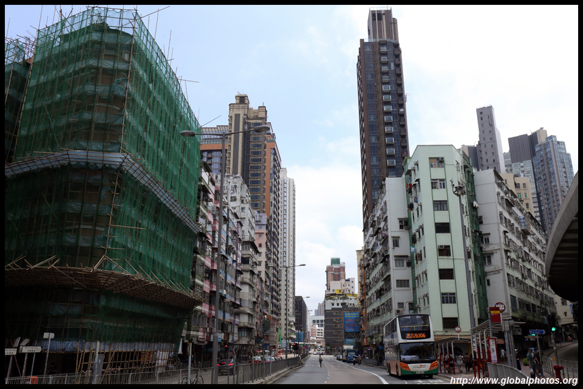
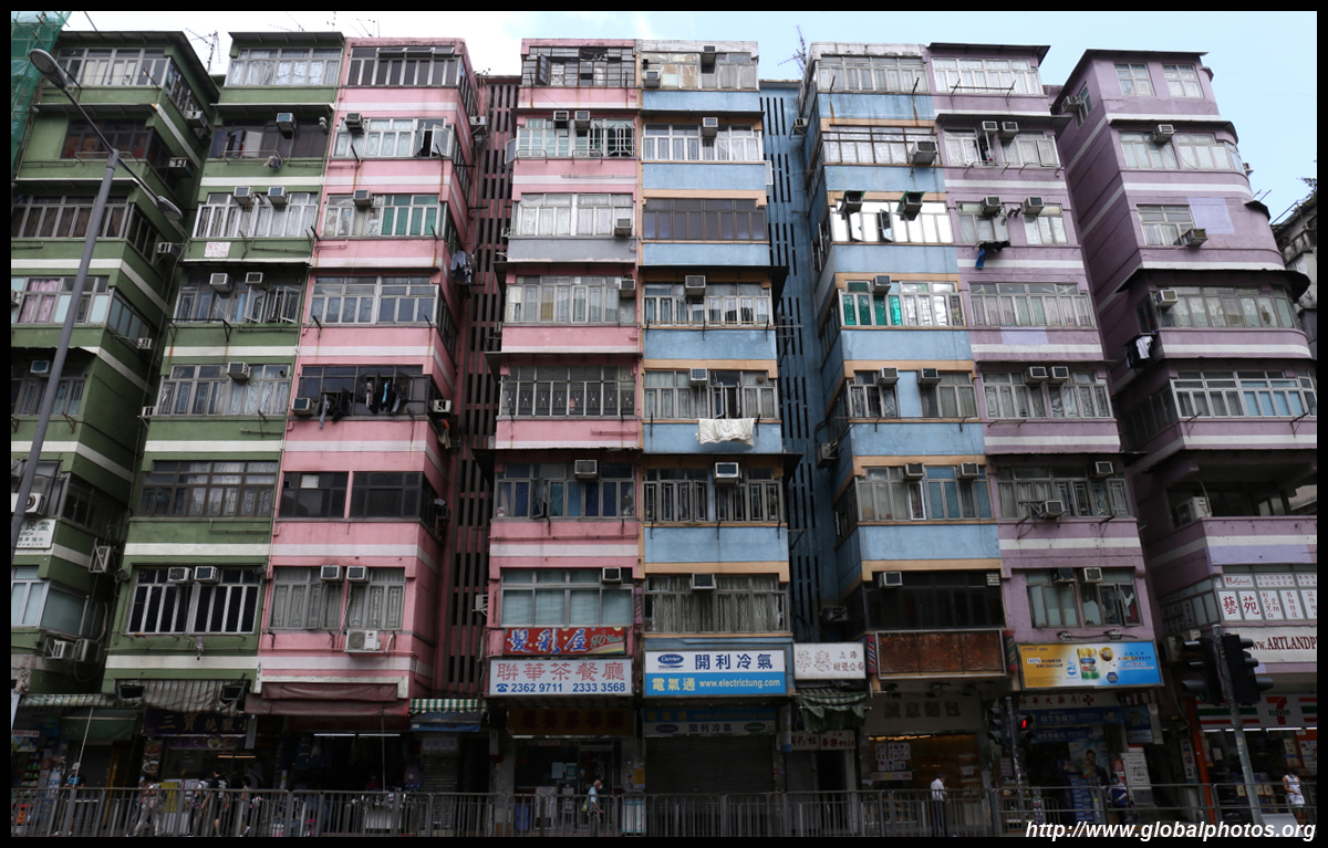
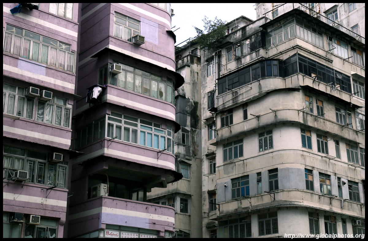
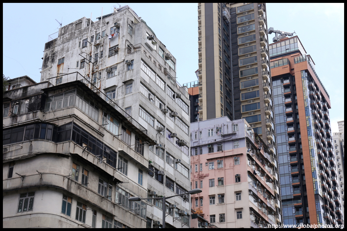
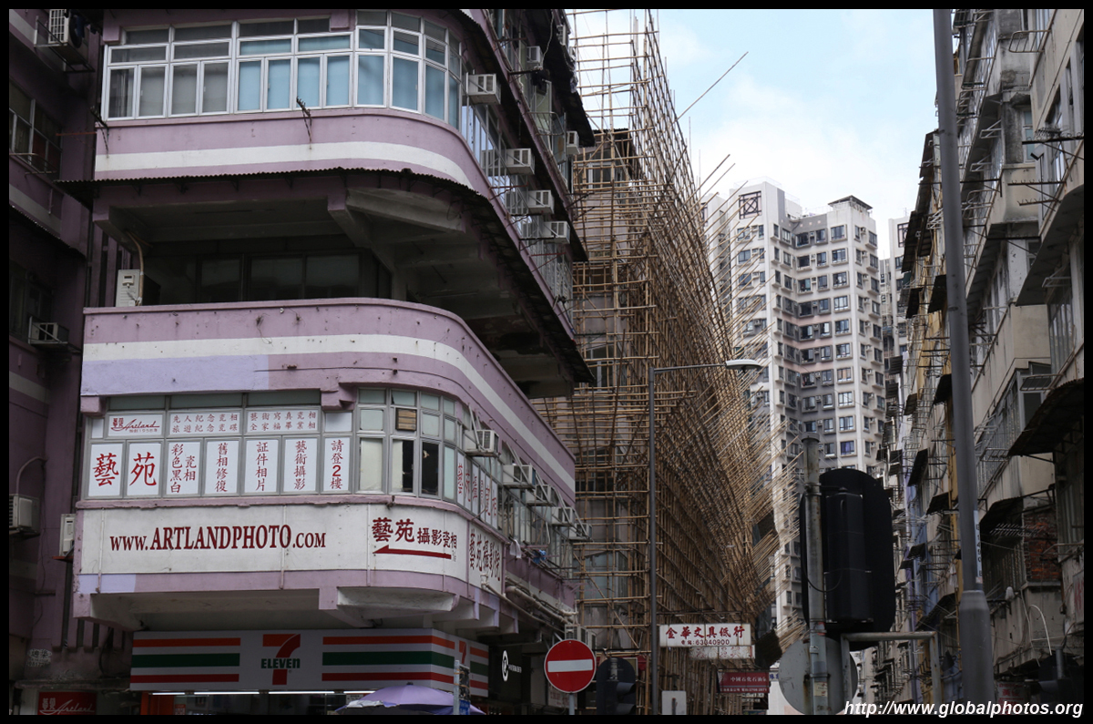
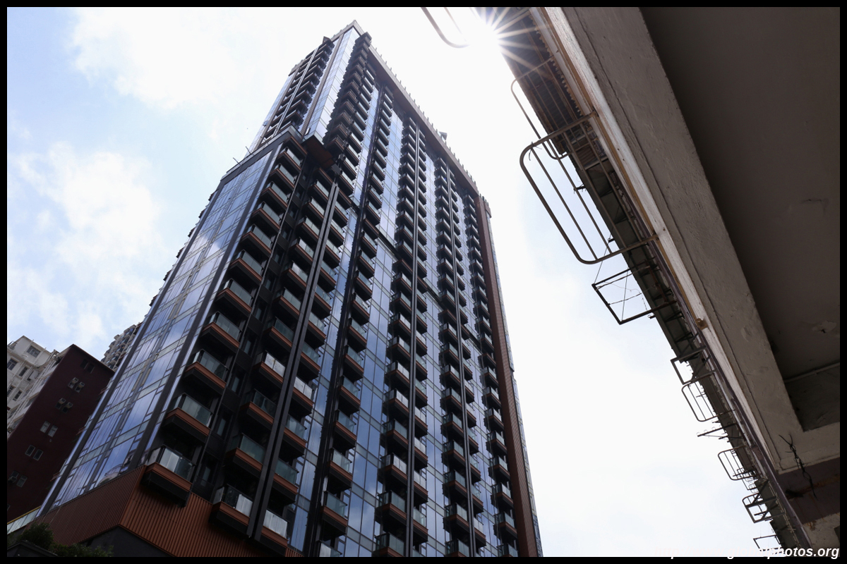
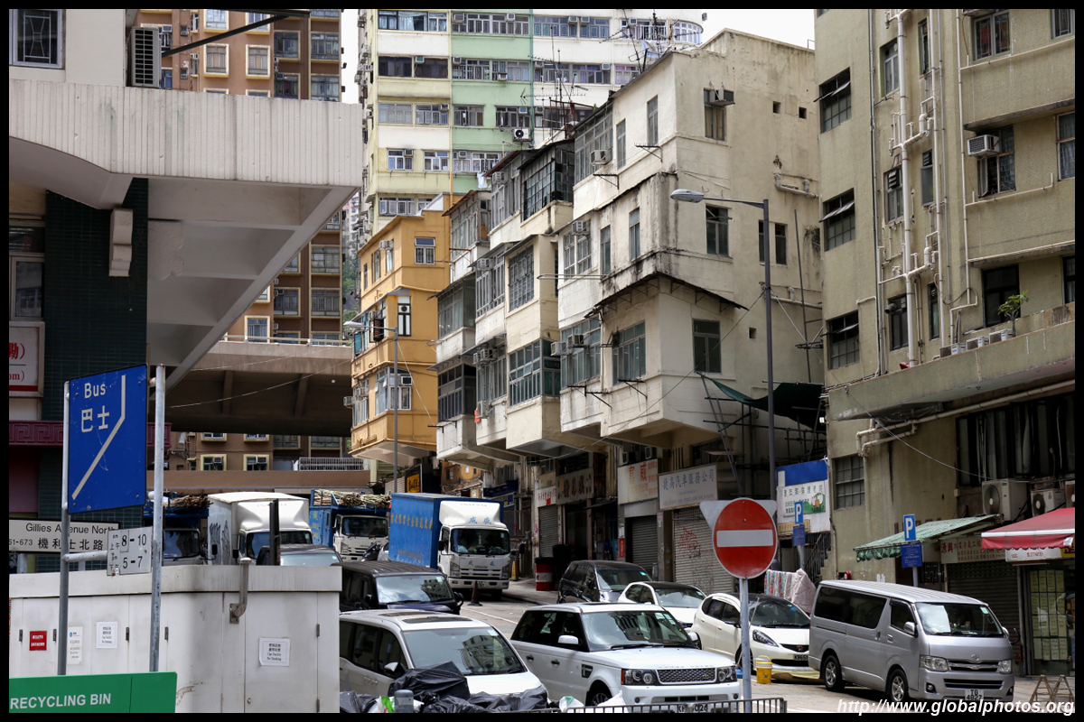
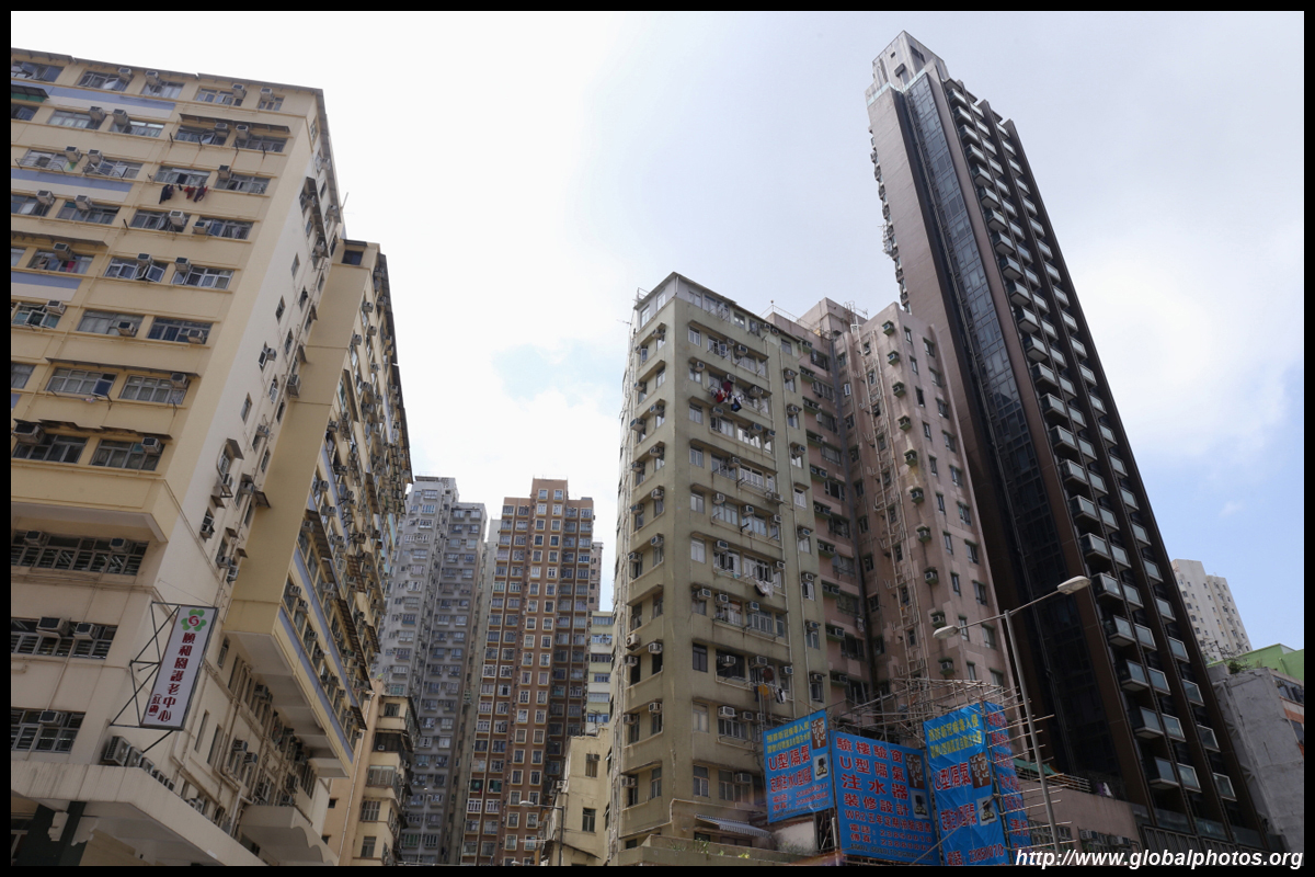
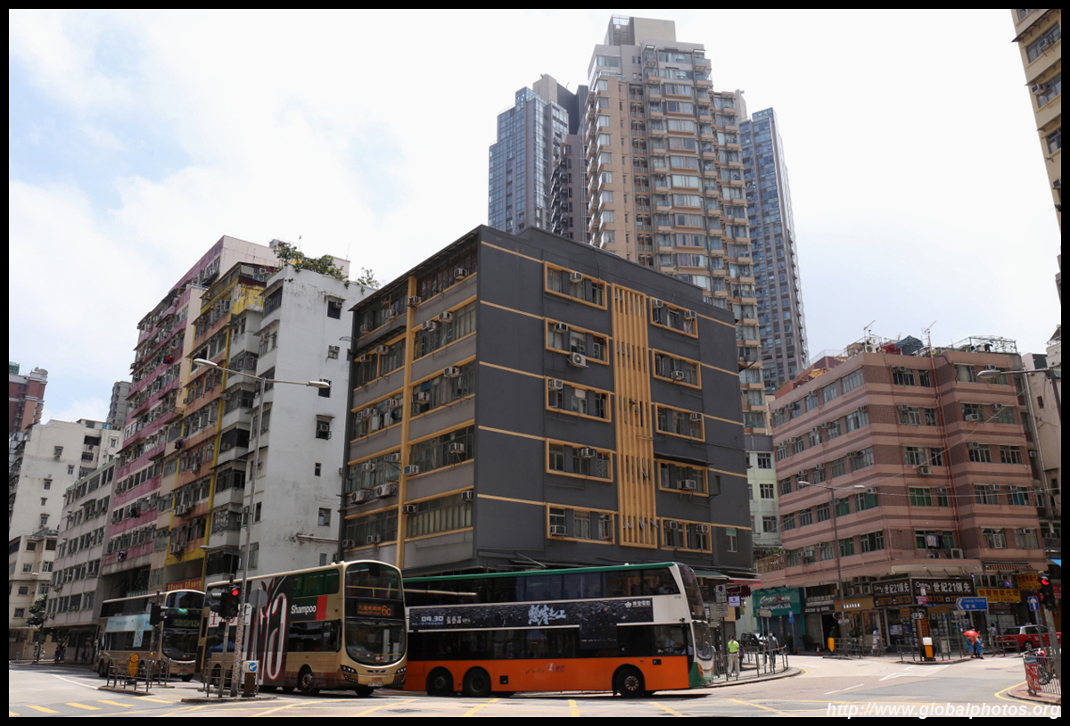
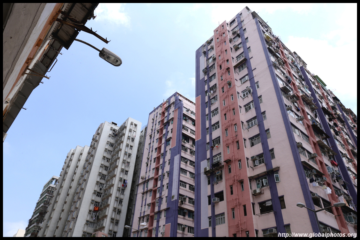
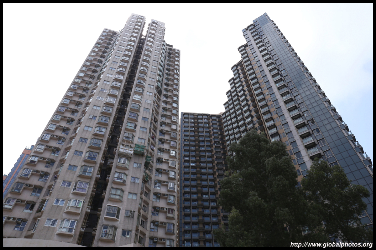
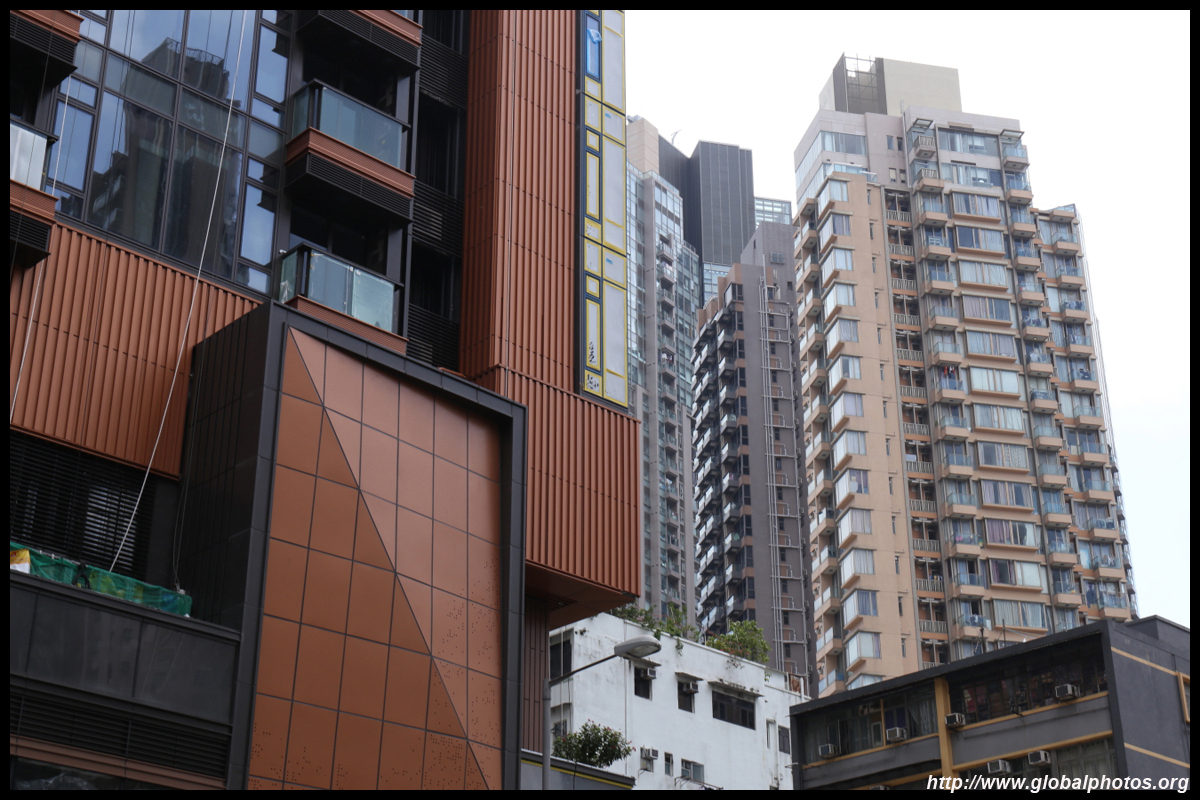
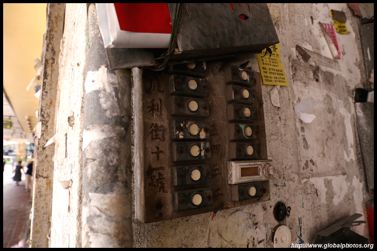
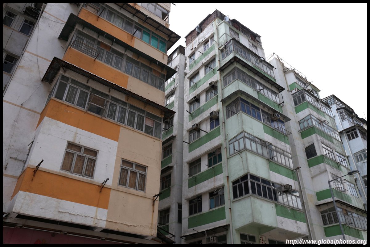
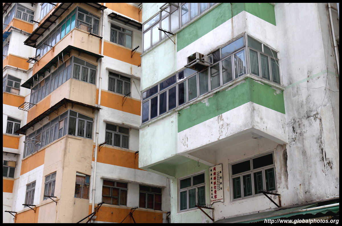
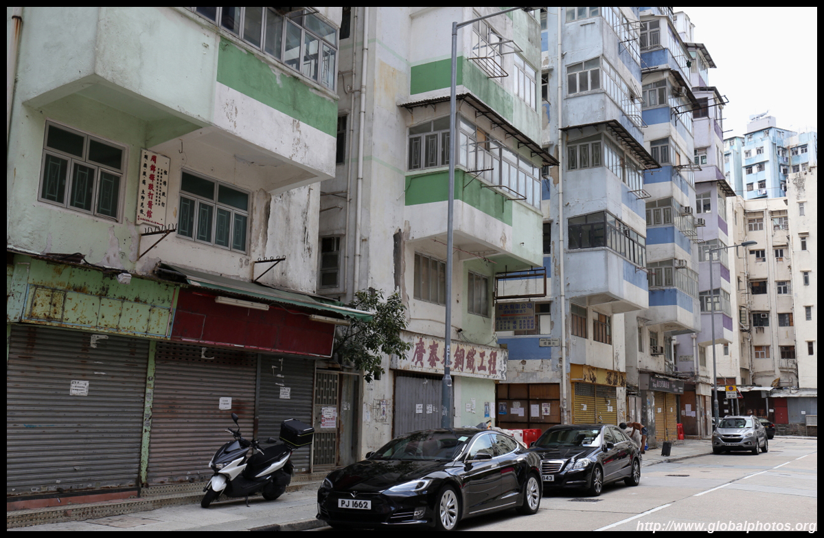
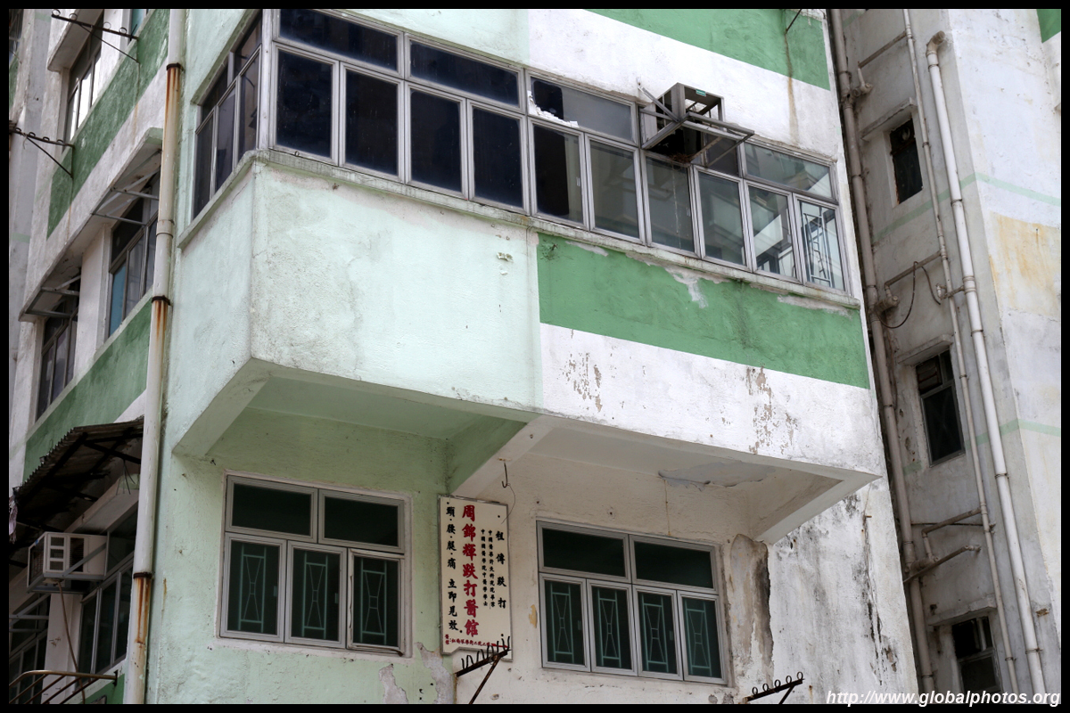
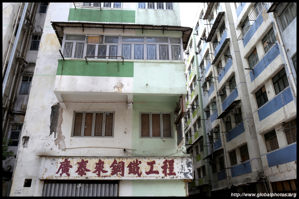
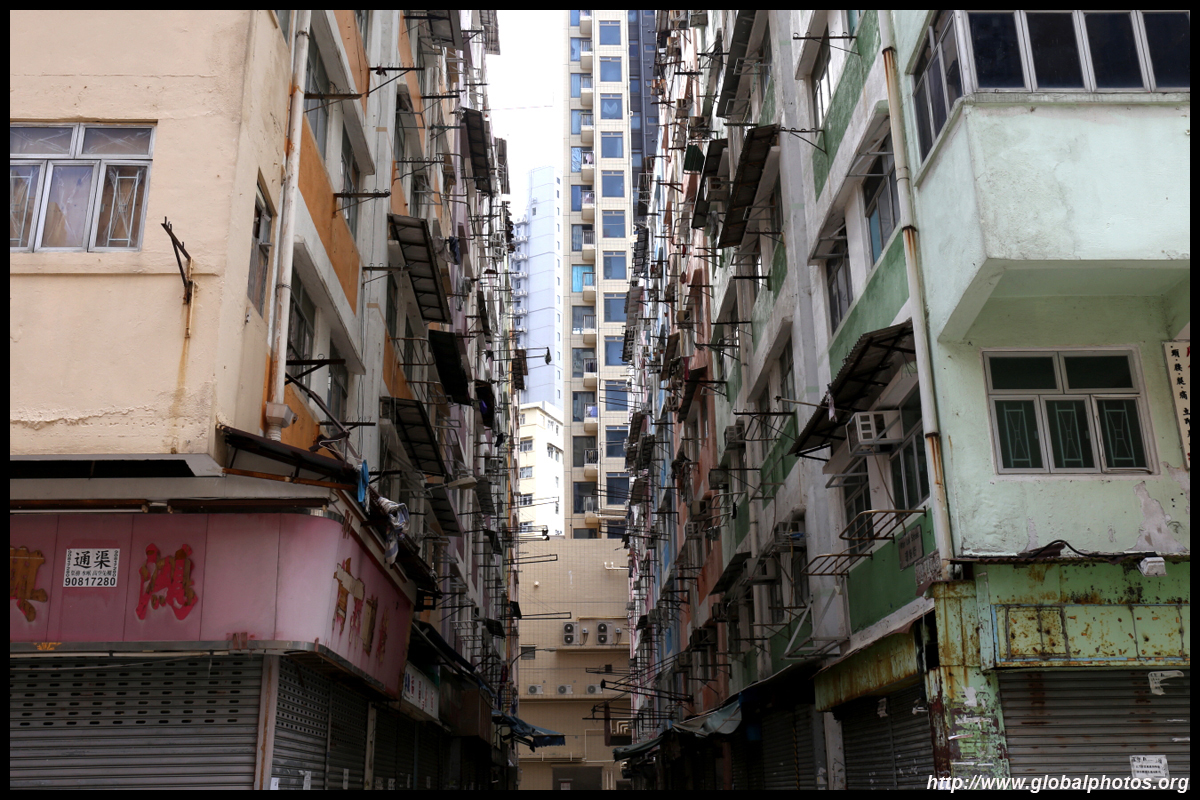
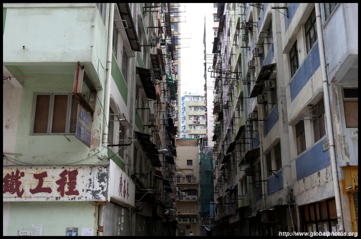
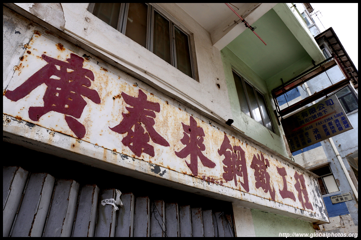
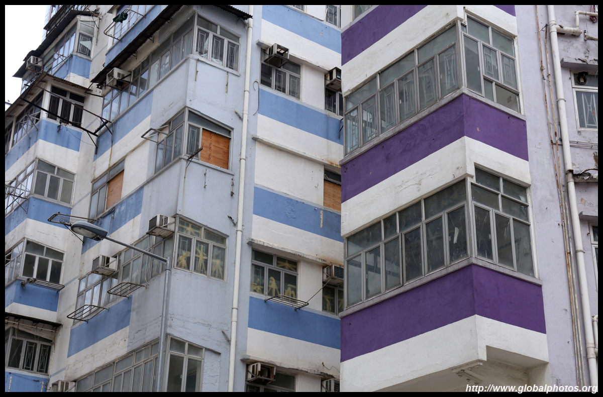
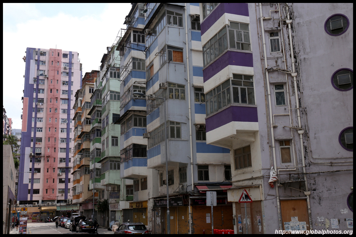
In the late 13th century the Song Dynasty emperor fled to this part of Hong Kong around what was known as Sacred Hill to escape from invading Mongols. The hill was razed to construct Kai Tak airport although a stone plaque carved by local villagers remains today to commemmorate the event.The earliest mention of To Kwa Wan appeared on official maps in the 1860s, believed to be named after the potato-shaped area or local potato cultivations. People farmed and fished around here, although there were also granite mines until the early 20th century, with stone sent to build the Kowloon Walled City. By the 1950s and 1960s, the area became a mass housing district with small-scale industrial enterprises. Capped by height limits due to incoming air traffic, it has all the characteristics of a typical old neighbourhood - vibrant street retail, old markets, and rundown buildings.
| |||
|
|
|
|
|
|
|
|
|
|

|
|
|
|
|
|
|
|
|
|
 |
 |
 |
 |
 |
 |
 |
 |
 |
 |
 |
 |
 |
 |
 |
 |
 |
 |
 |
 |
| |||
 |
 |
 |
 |
 |
 |
 |
 |
 |
 |
 |
 |
 |
 |
 |
 |
 |
 |
 |
 |
| |||
 |
 |
 |
 |
 |
 |
 |
 |
 |
 |
 |
 |
 |
 |
 |
 |
 |
 |
 |
 |
| |||
 |
 |
 |
 |
 |
 |
 |
 |
 |
 |
 |
 |
 |
 |
 |
 |
 |
 |
 |
 |
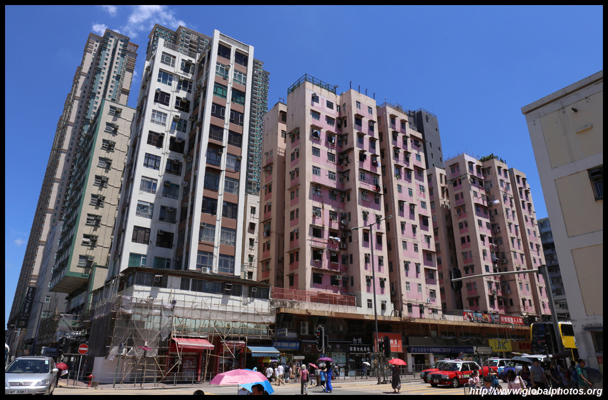
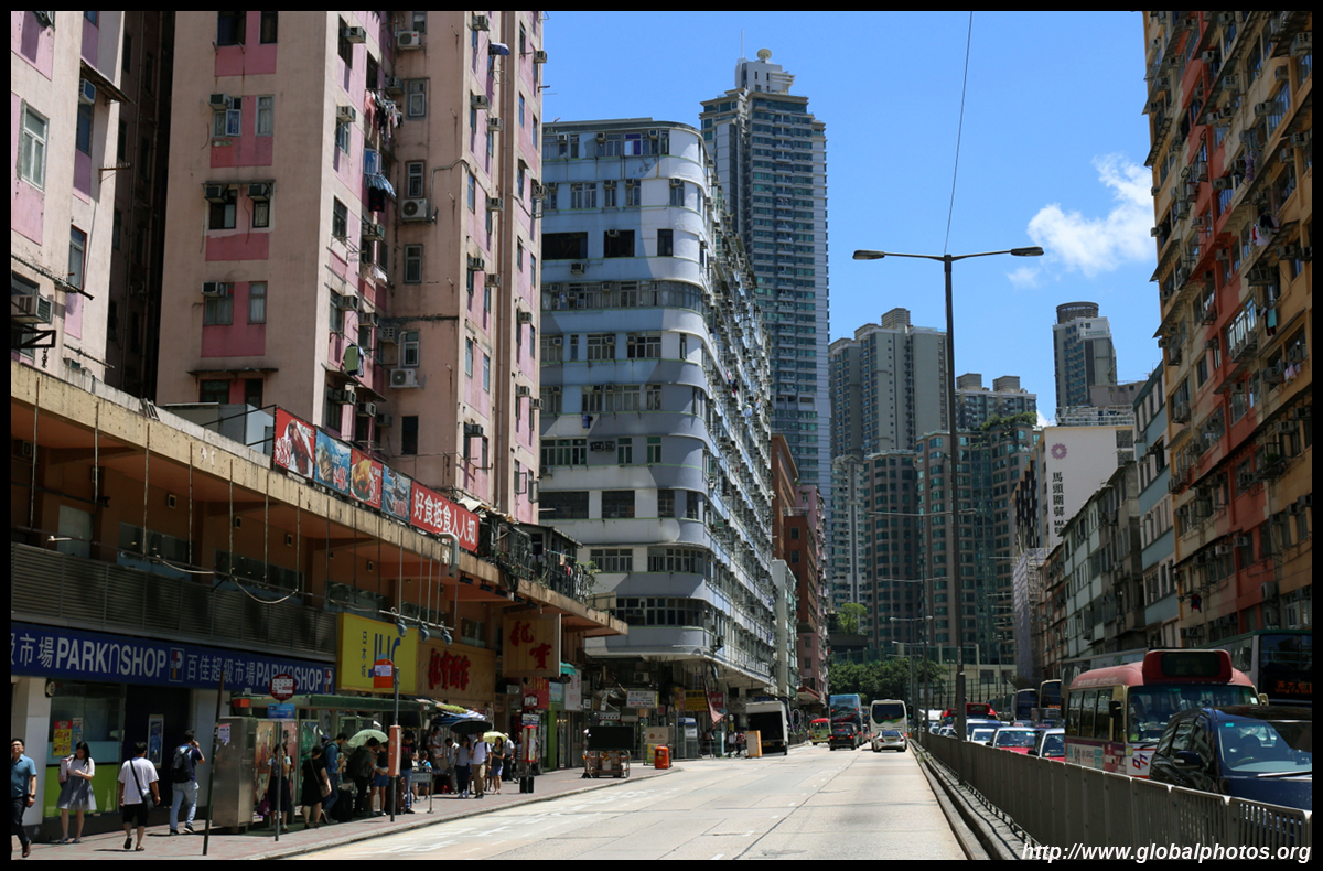
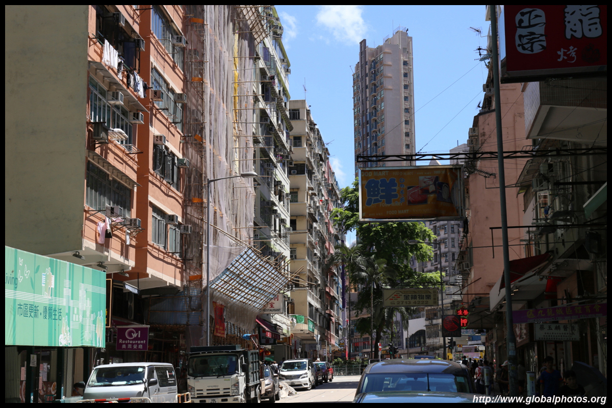
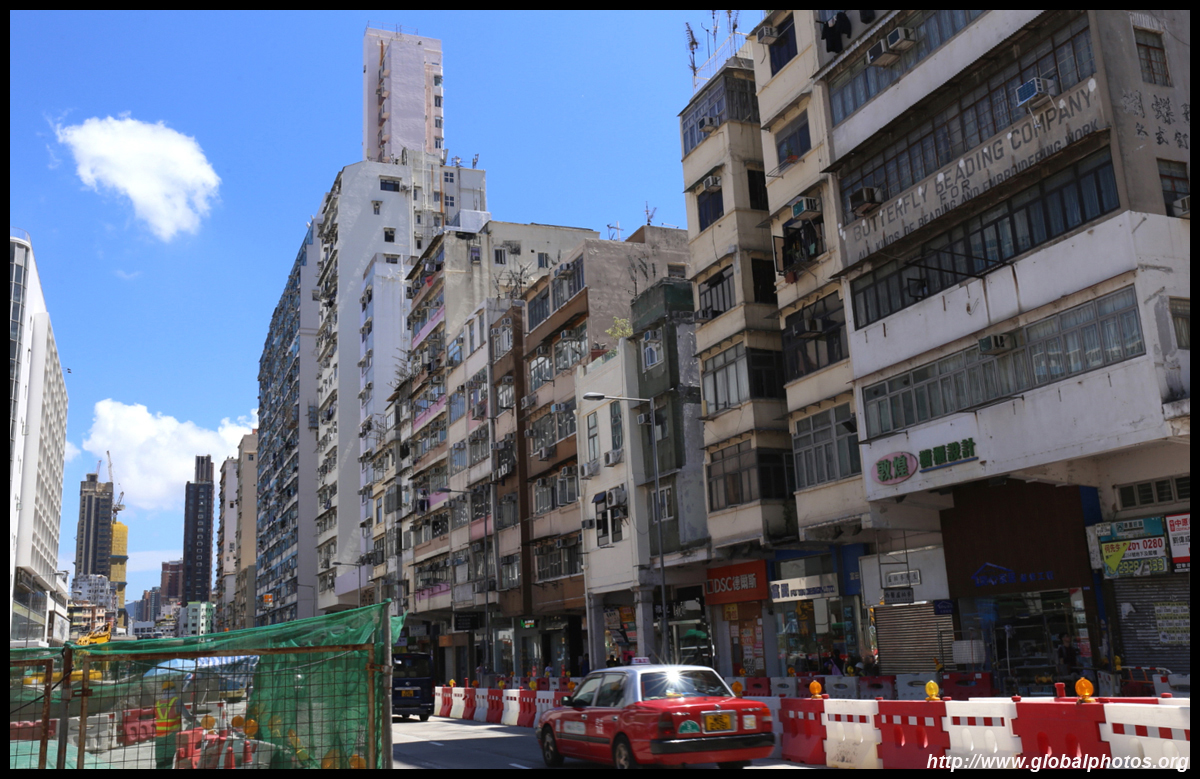
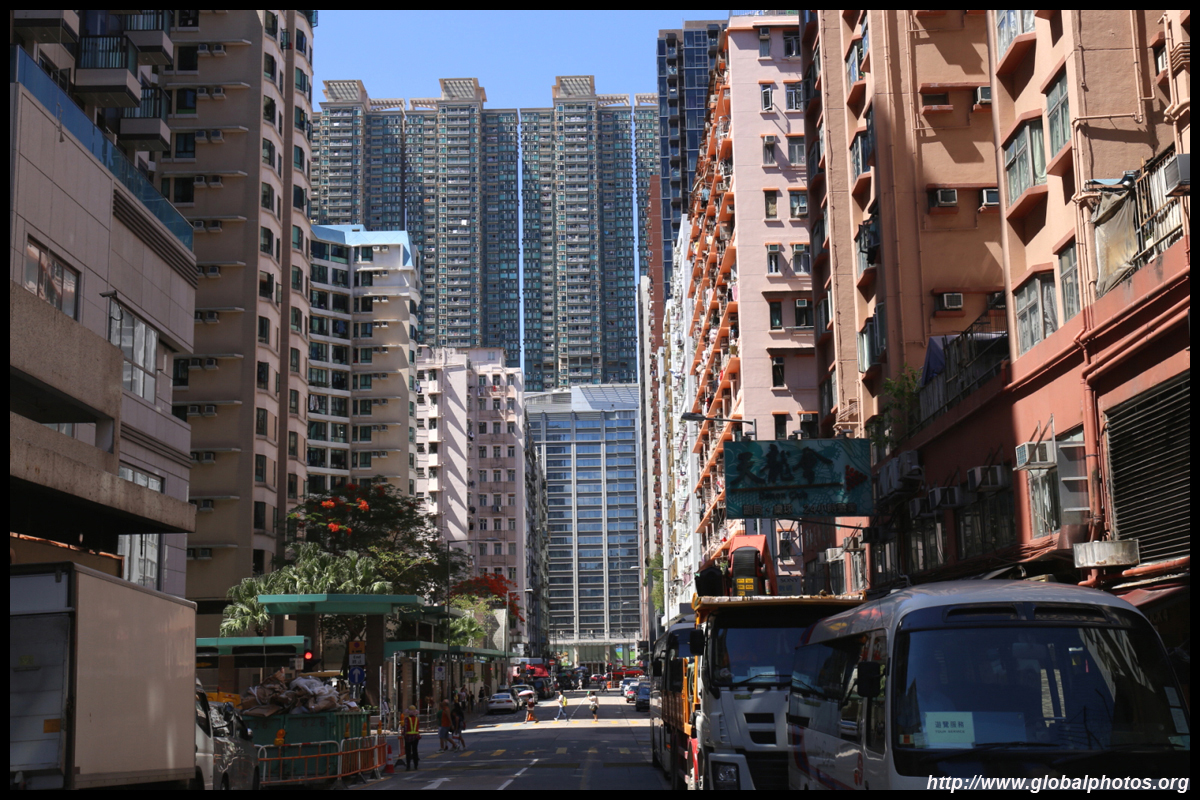
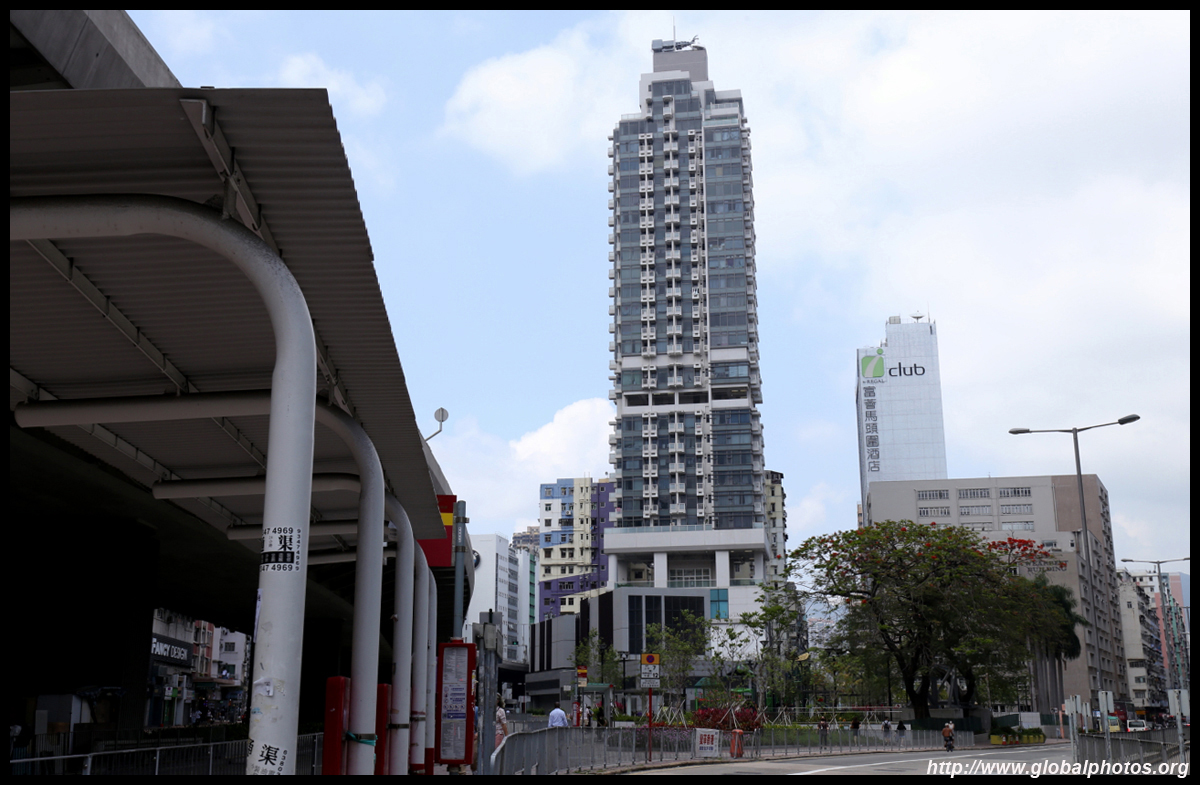
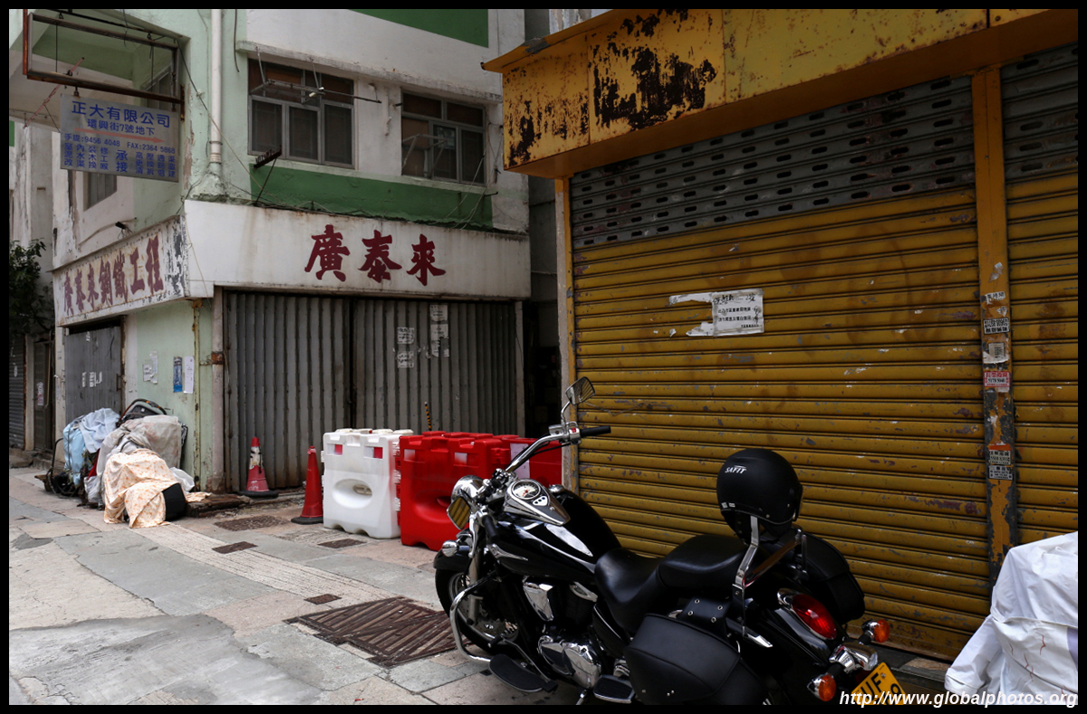
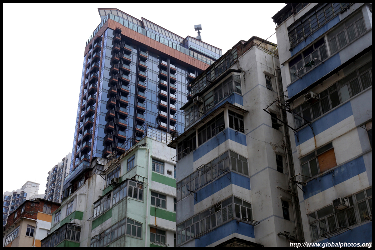
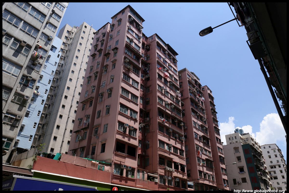
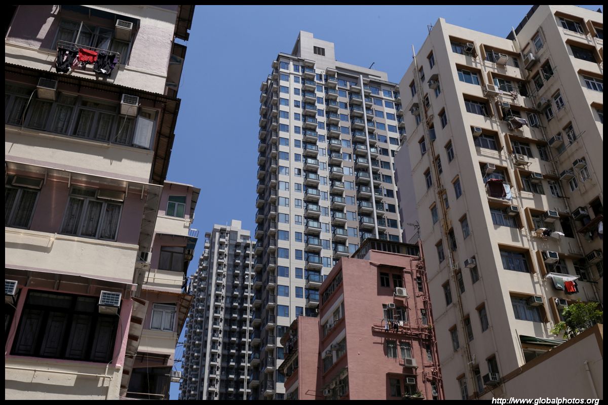
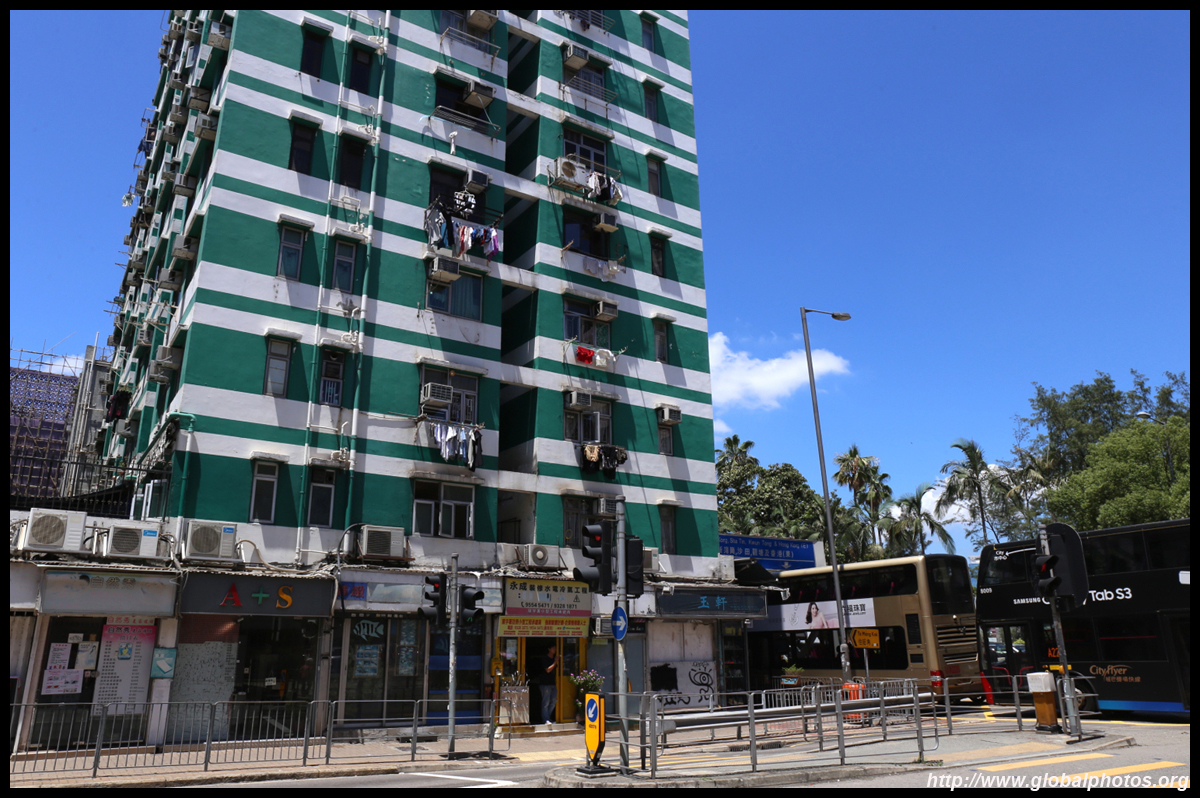
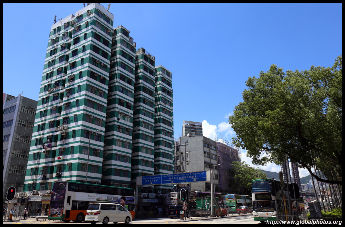
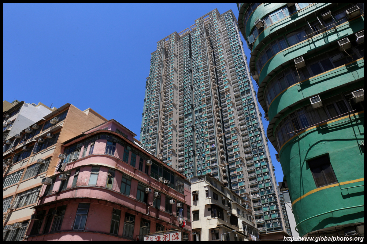
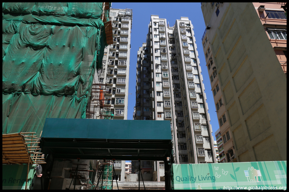
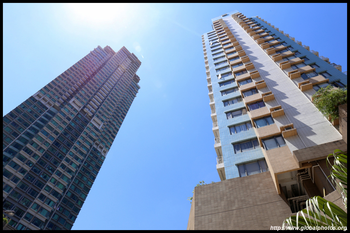
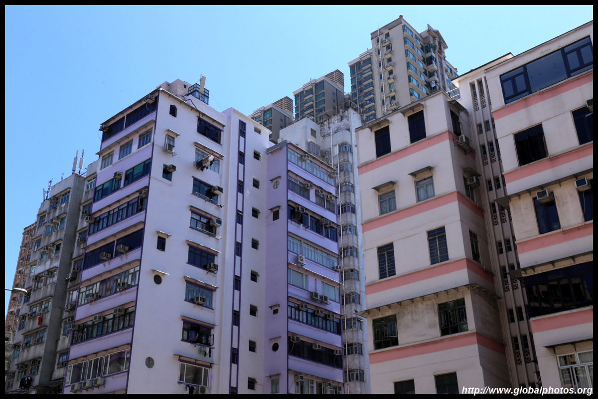
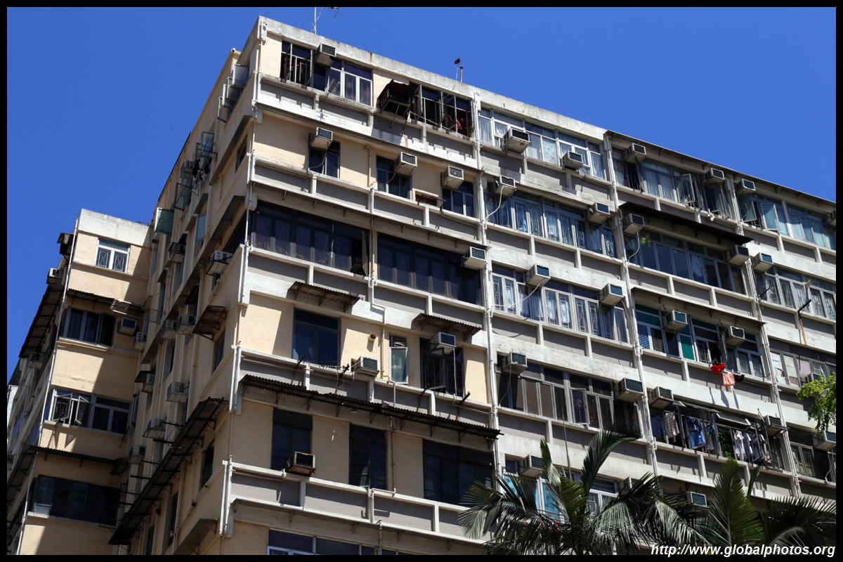
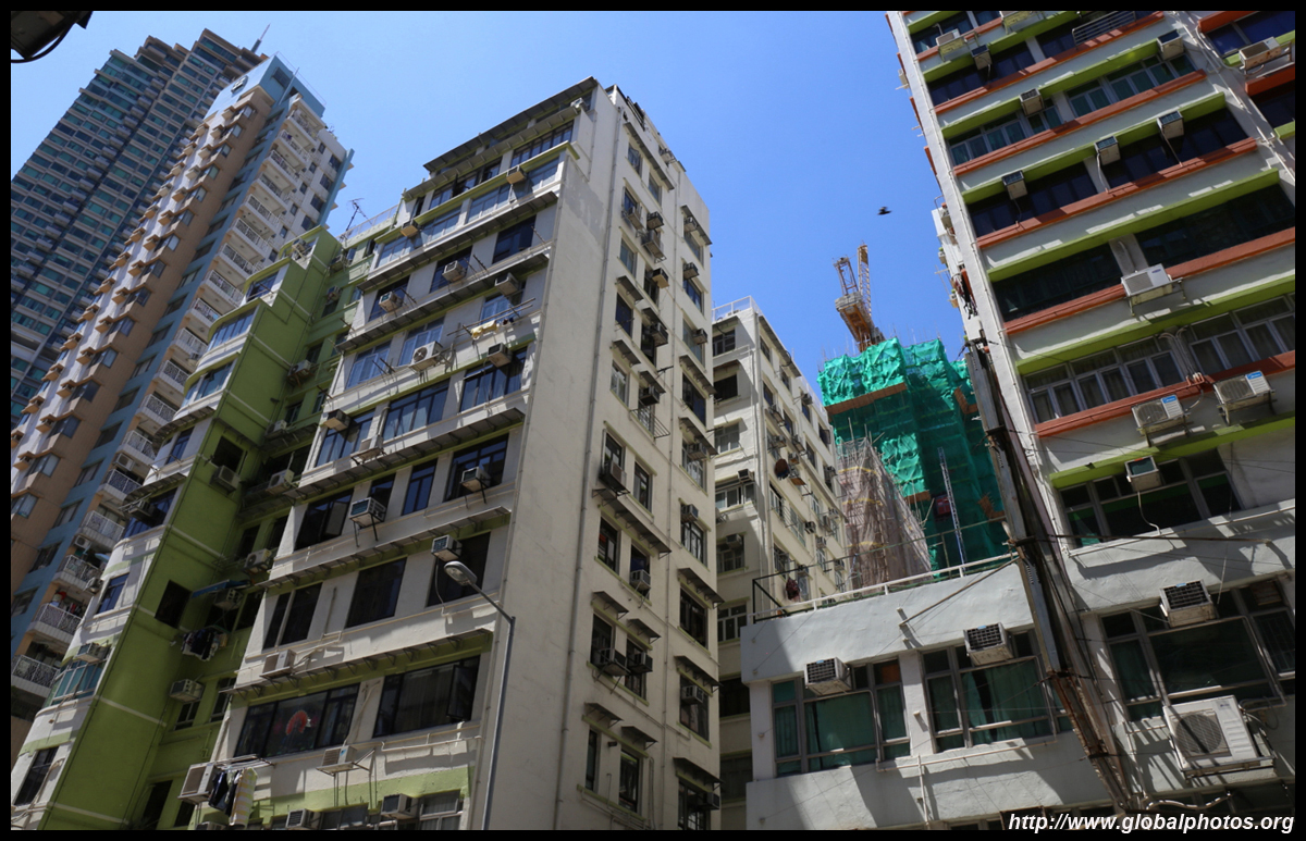
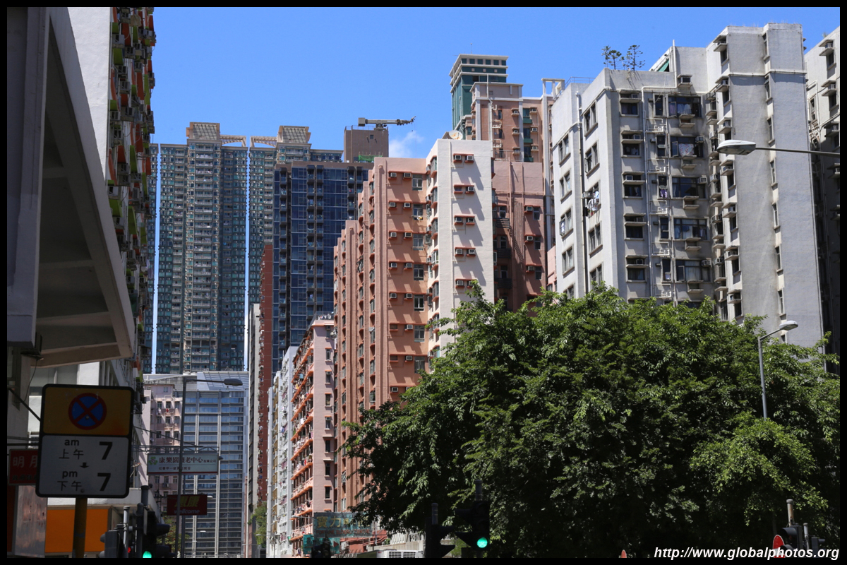
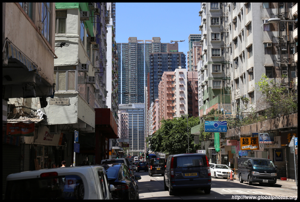
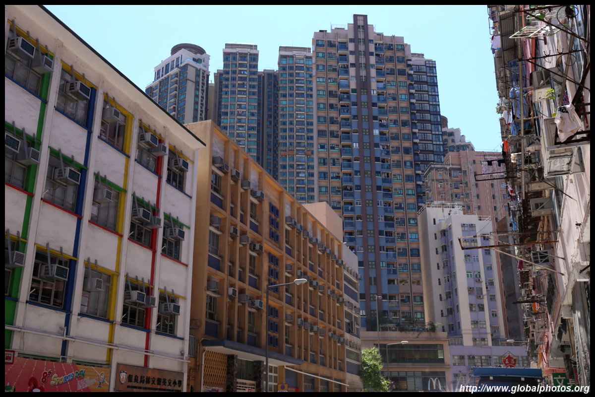
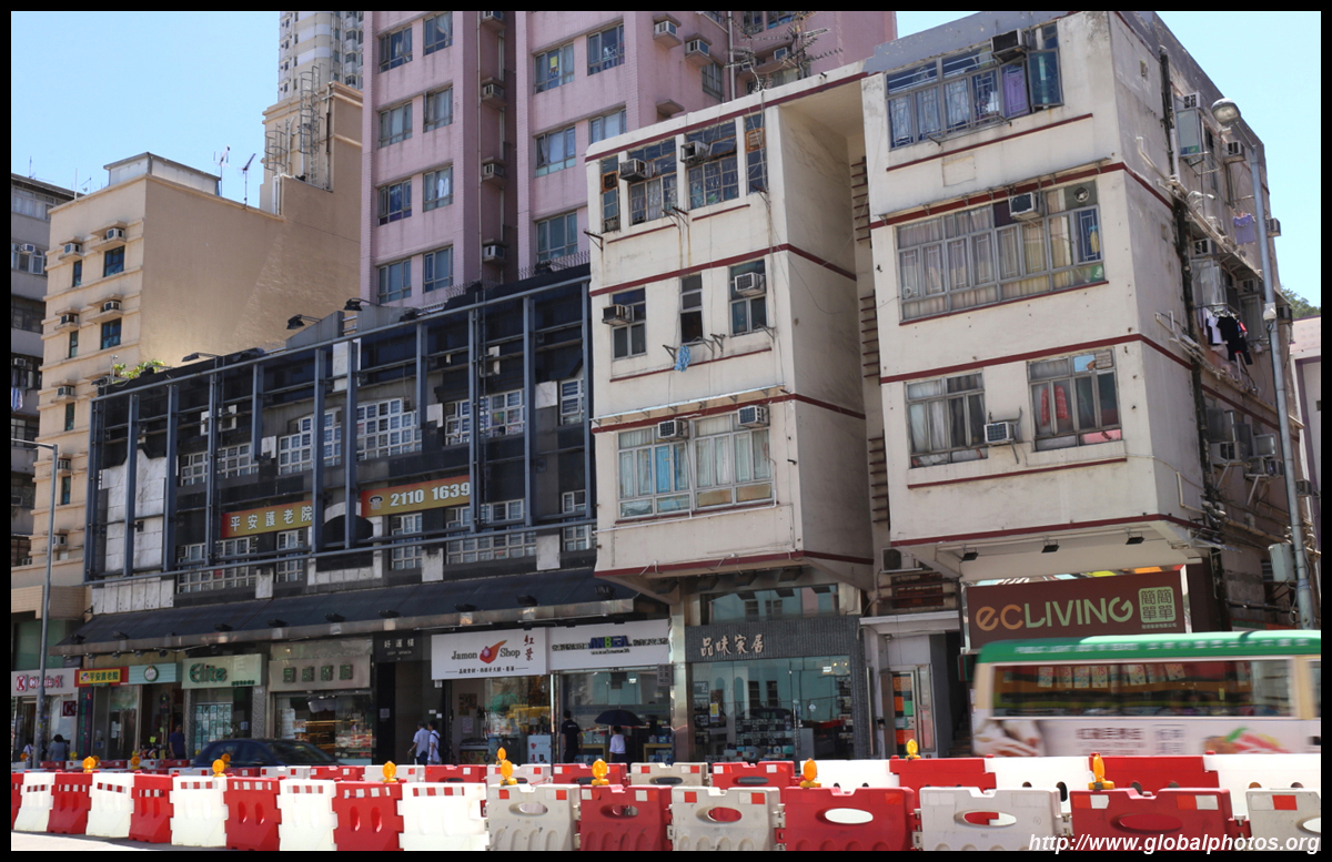
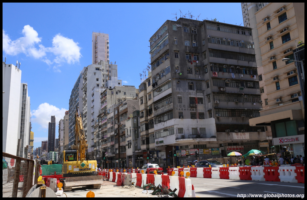
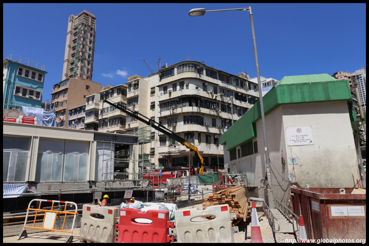
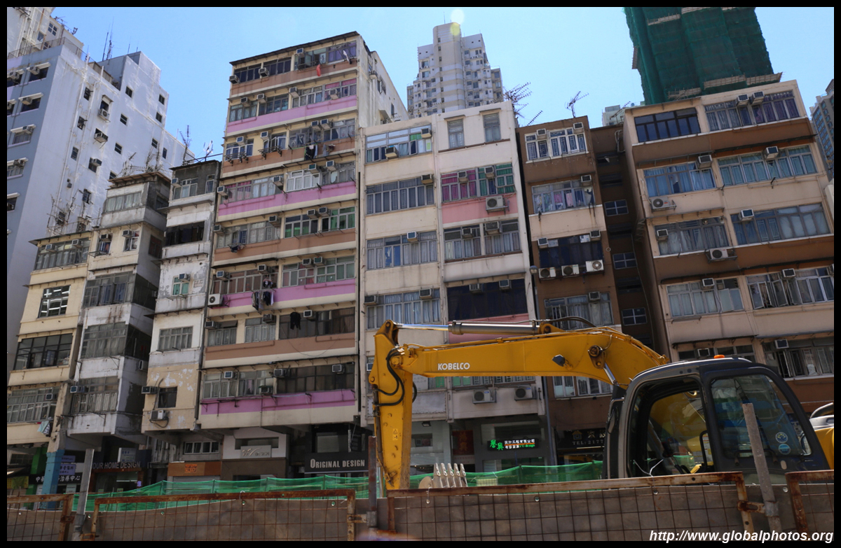
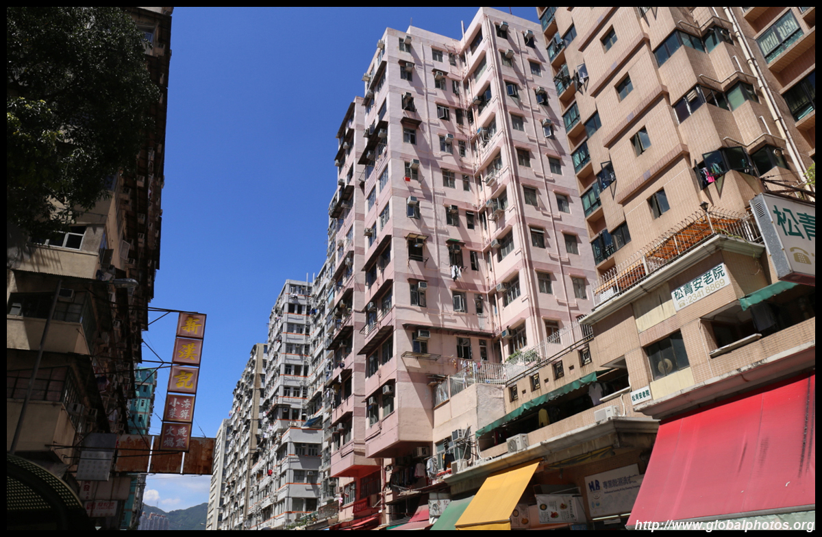
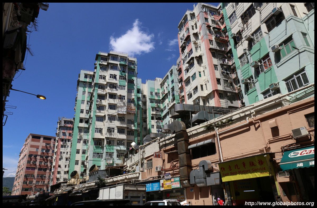
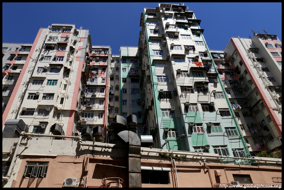
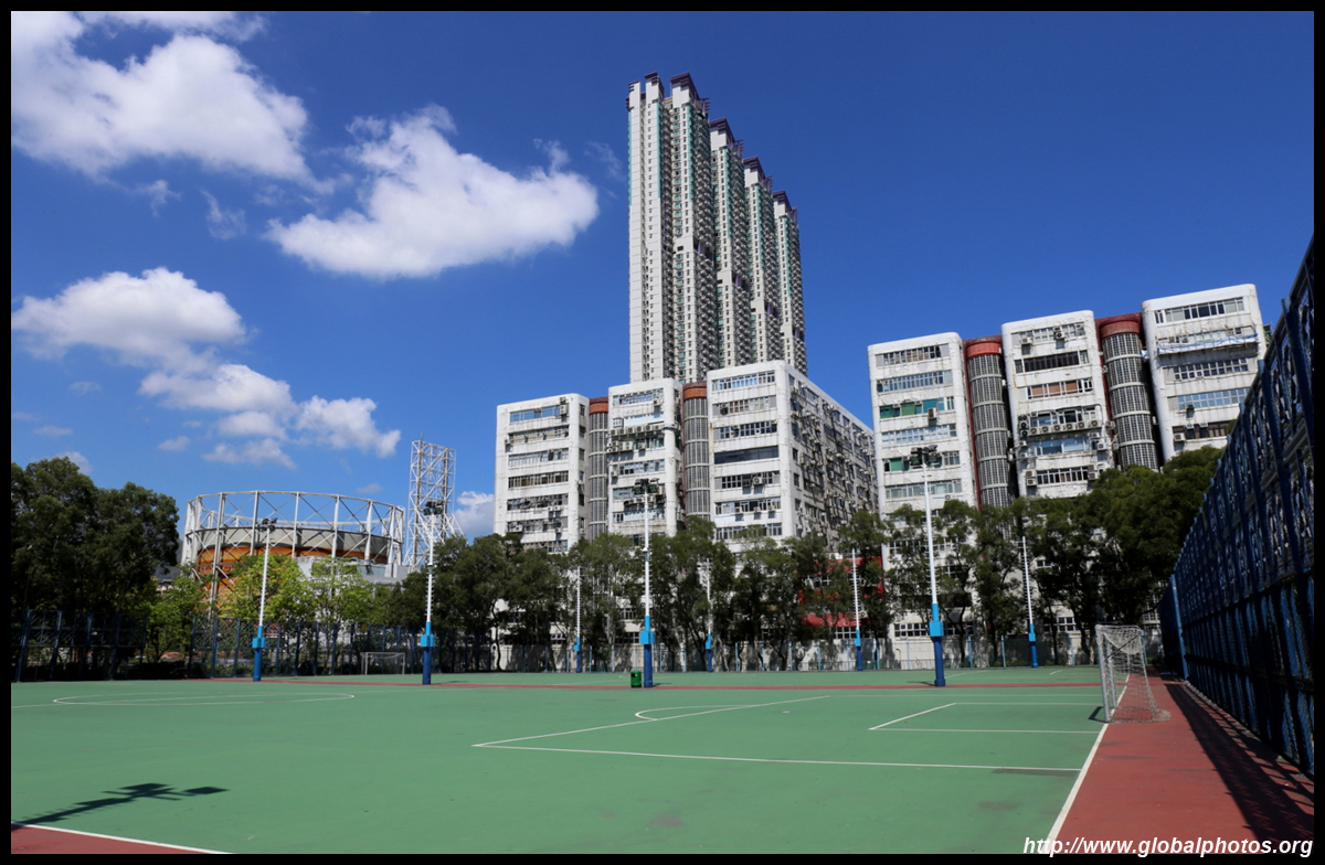
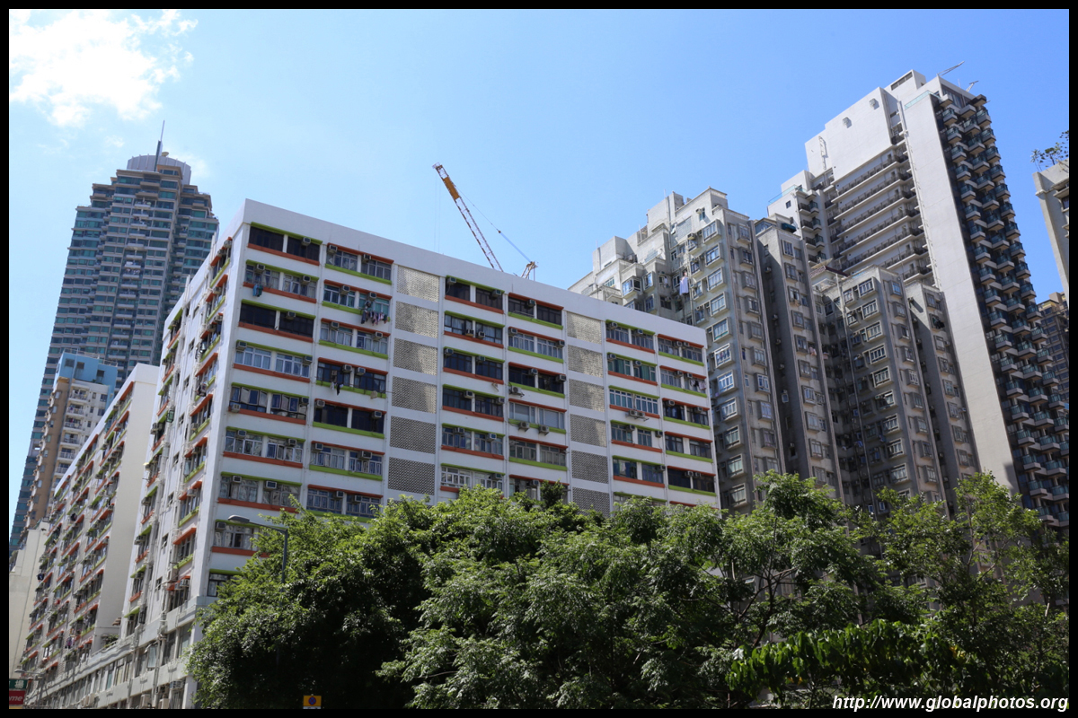
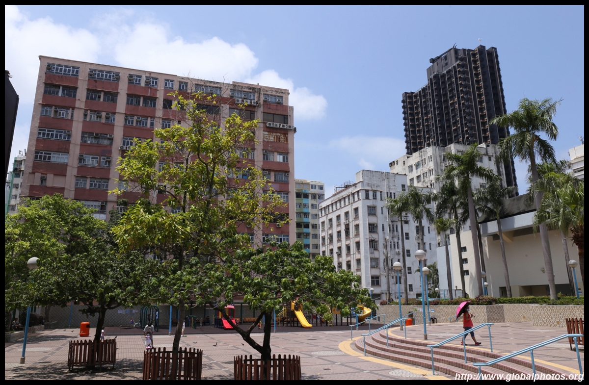
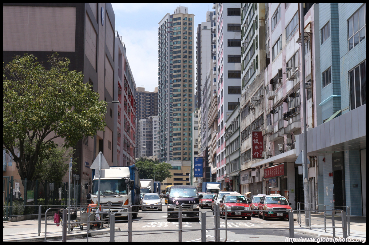
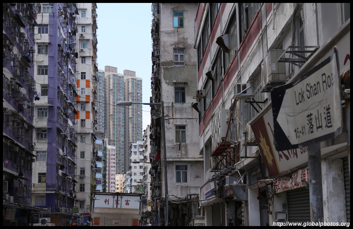
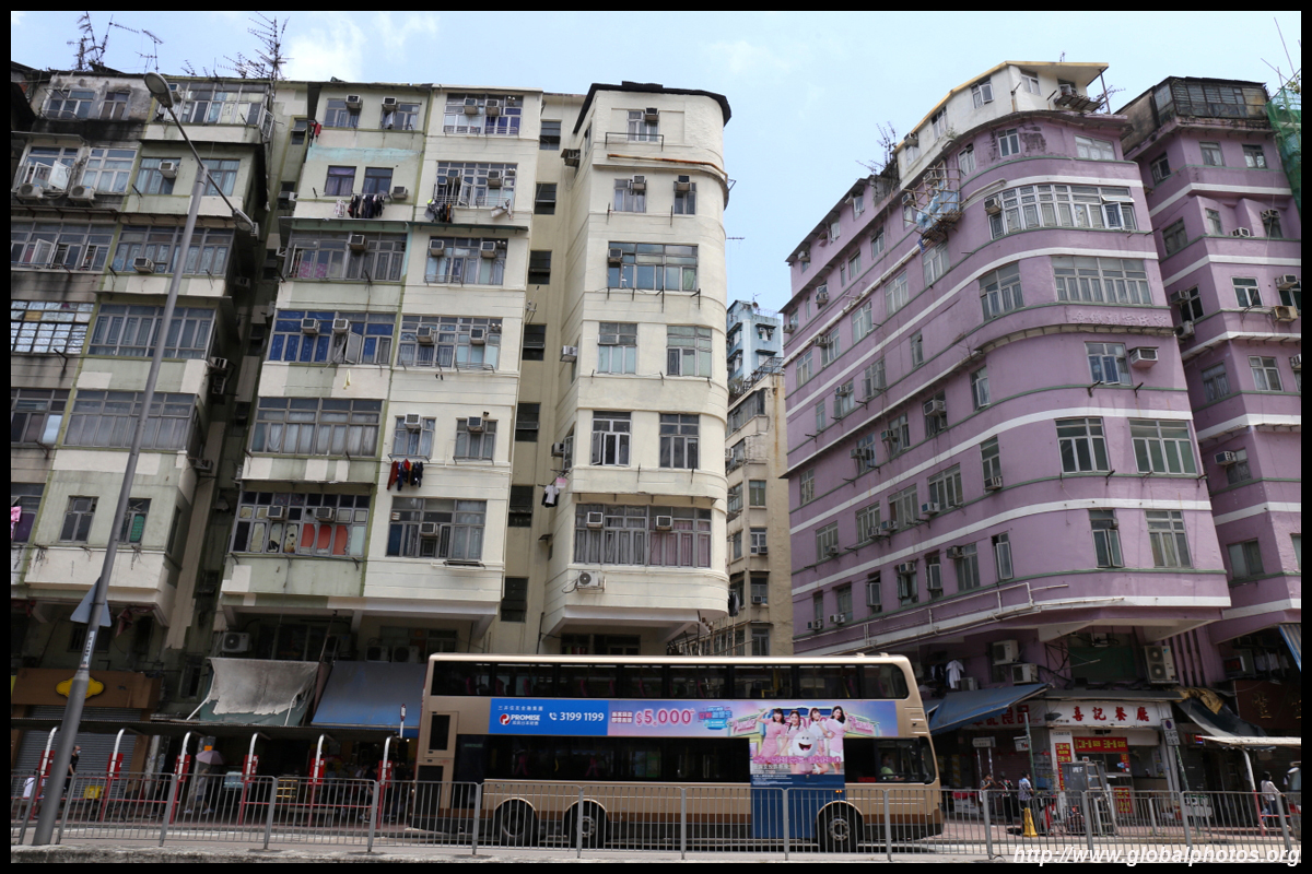
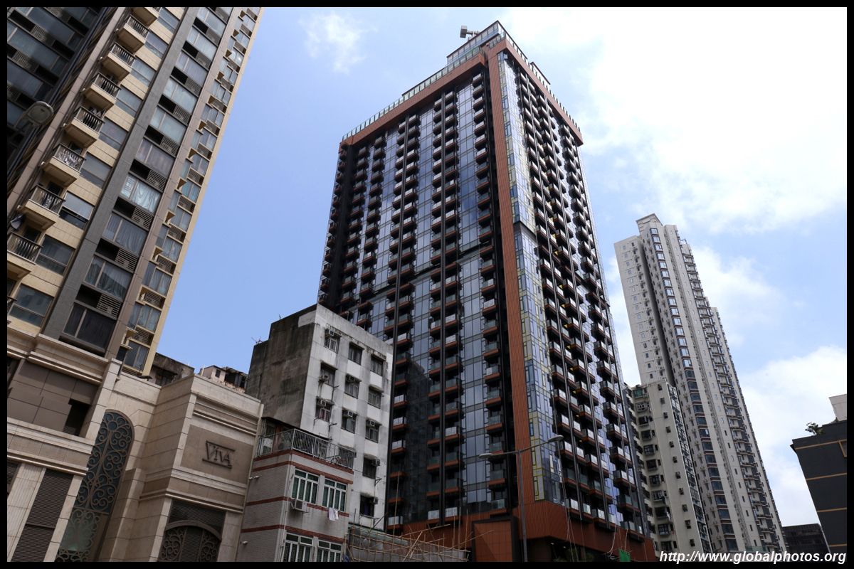
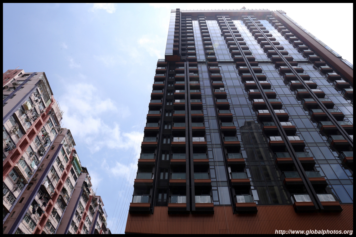
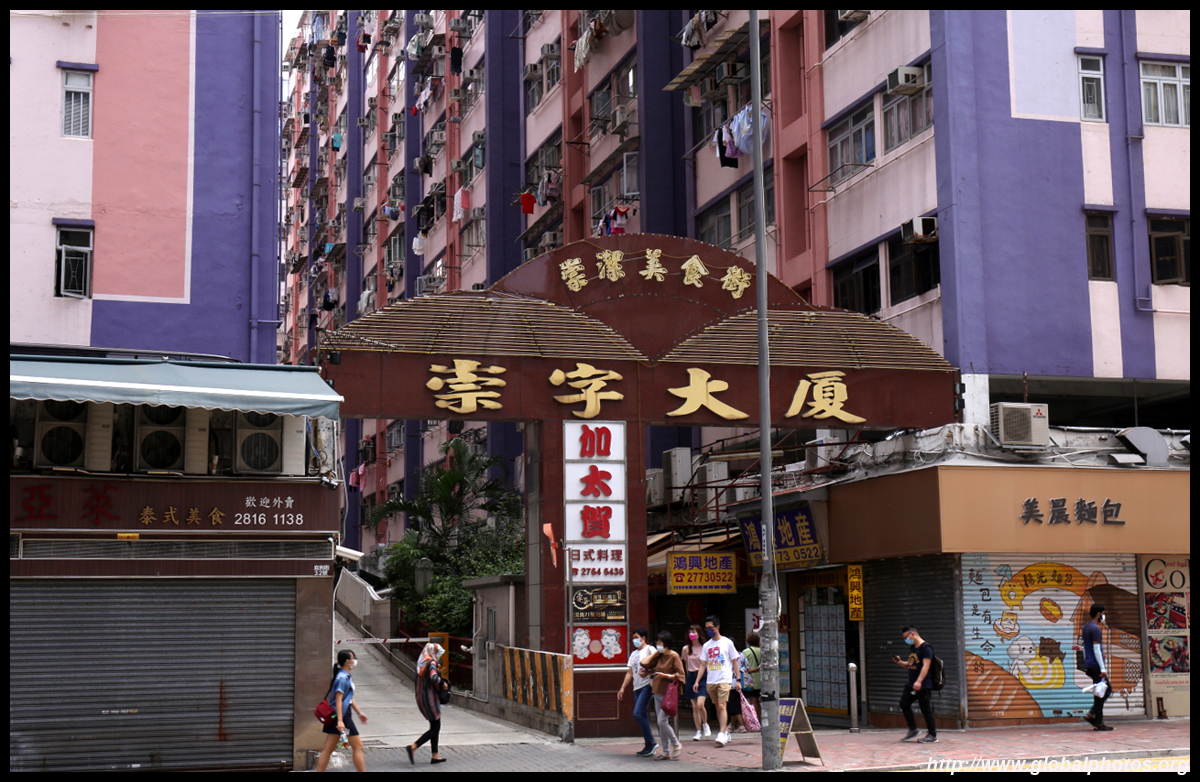
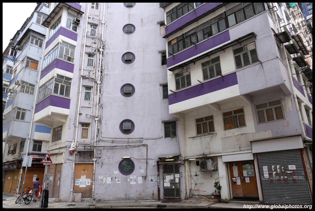
Gentrification is slowly transforming the district but residents are frustrated over the slow pace of redevelopment. Perhaps the new MTR line will change this although construction scandals are delaying its completion.
| |||
 |
 |
 |
 |
 |
 |
 |
 |
 |
 |
 |
 |
 |
 |
 |
 |
 |
 |
 |
 |
| |||
 |
 |
 |
 |
 |
 |
 |
 |
 |
 |
 |
 |
 |
 |
 |
 |
 |
 |
 |
 |
| |||
 |
 |
 |
 |
 |
 |
 |
 |
 |
 |
 |
 |
 |
 |
 |
 |
 |
 |
 |
 |
| |||
 |
 |
 |
 |
 |
 |
 |
 |
 |
 |
 |
 |
 |
 |
 |
 |
 |
 |
 |
 |
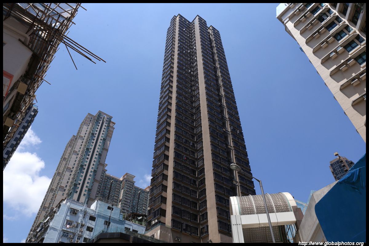
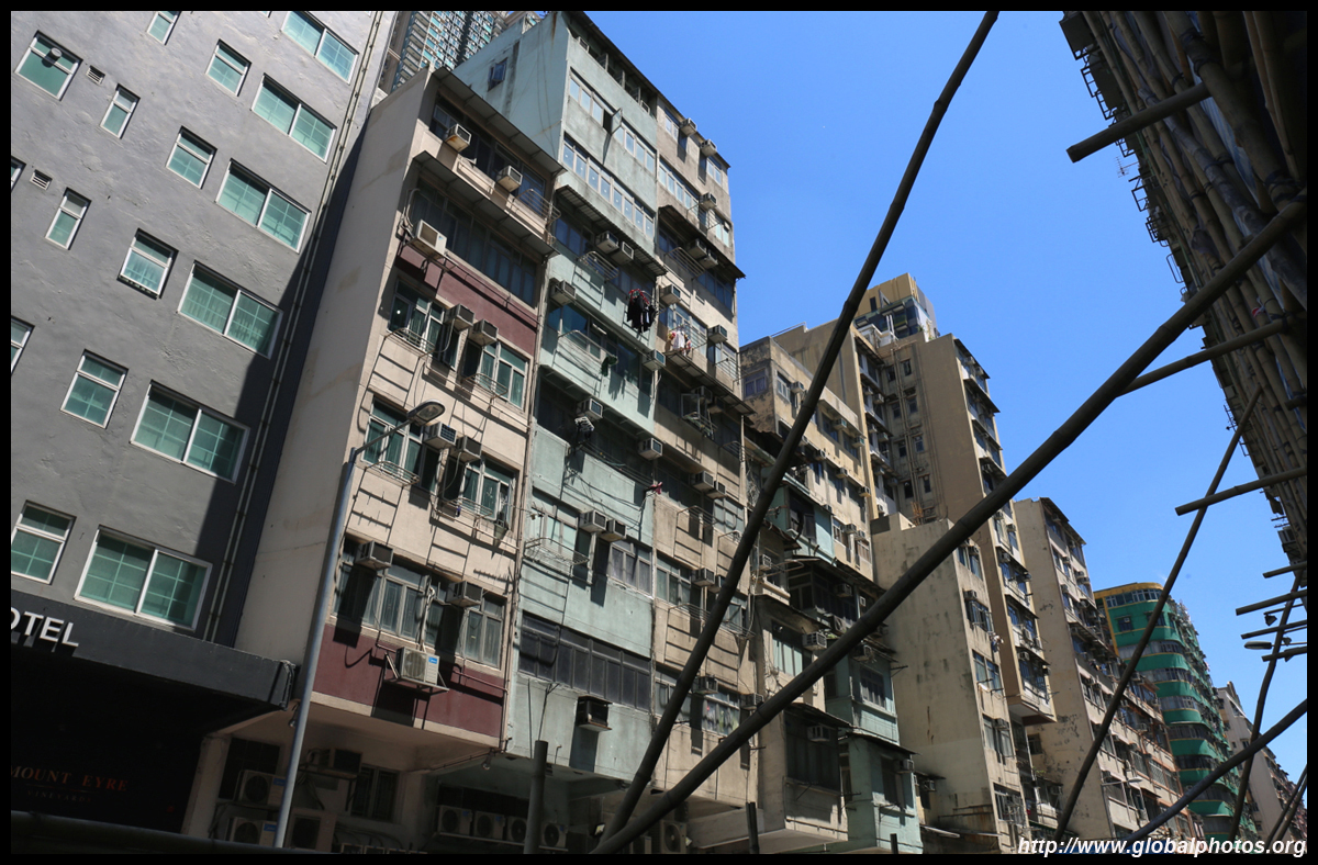
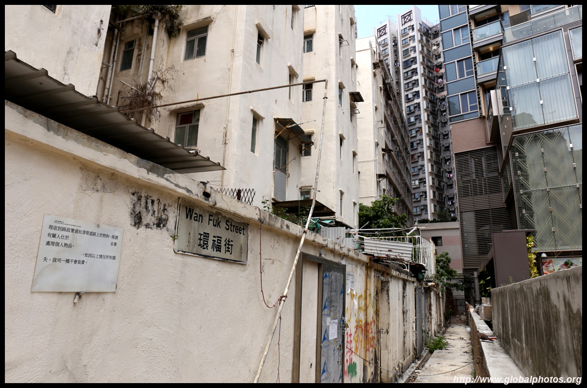
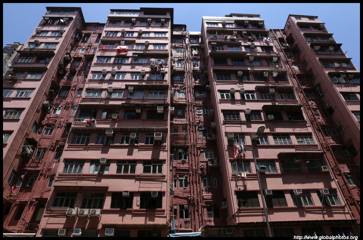
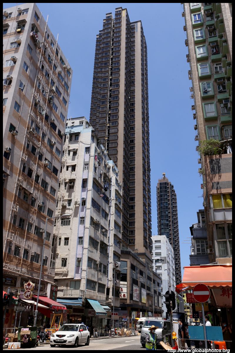
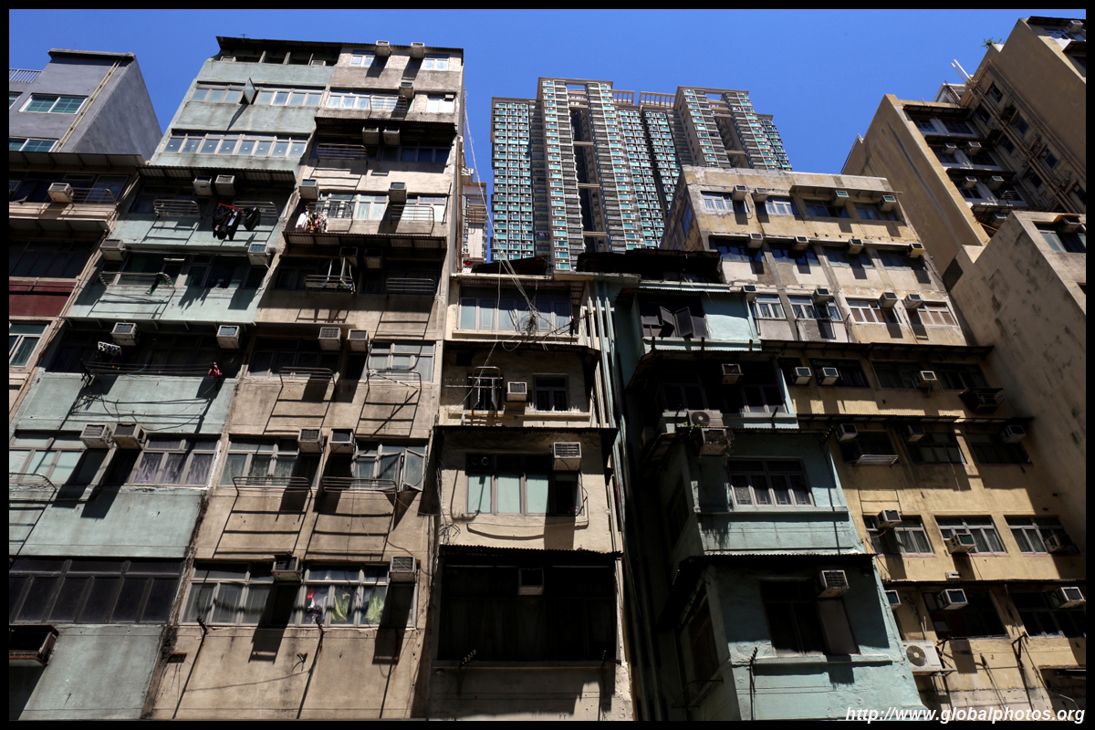
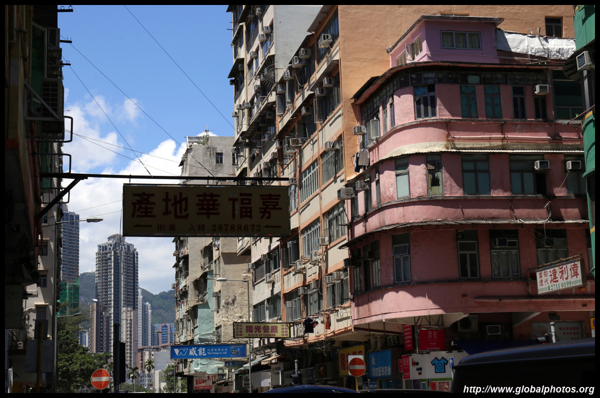
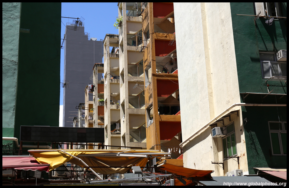
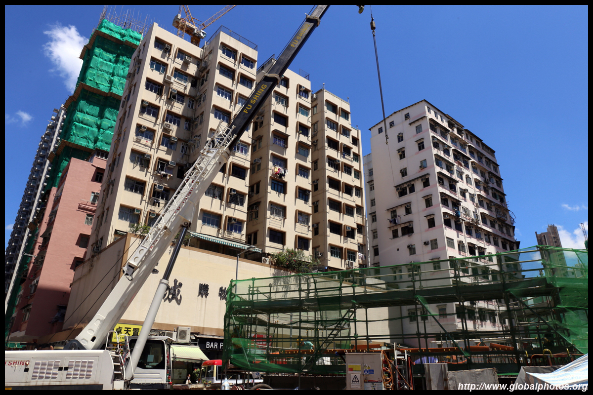
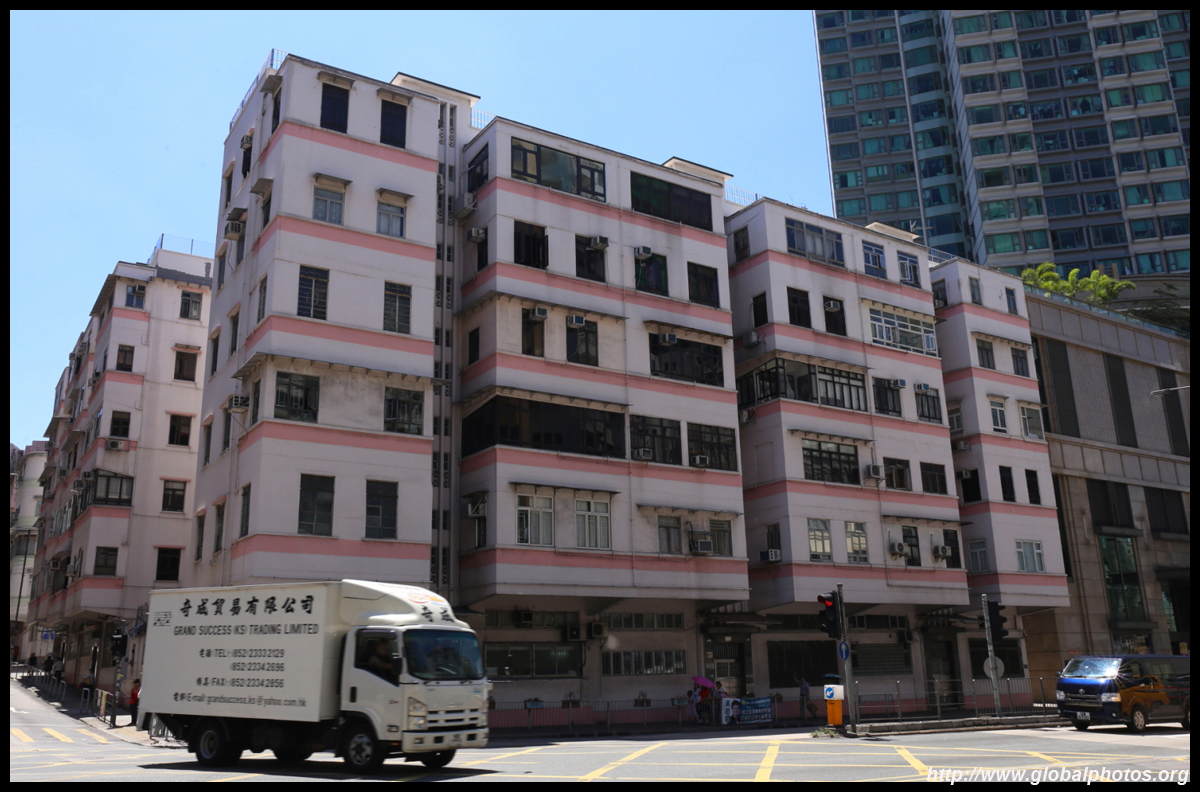
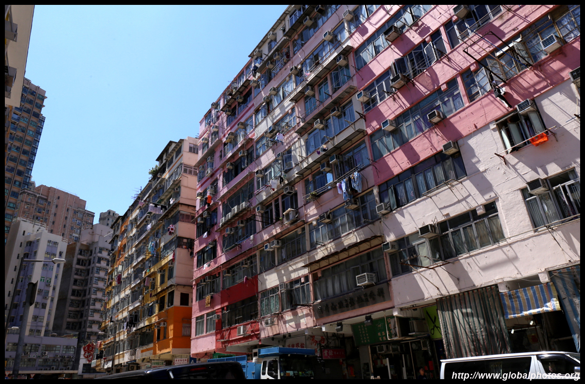
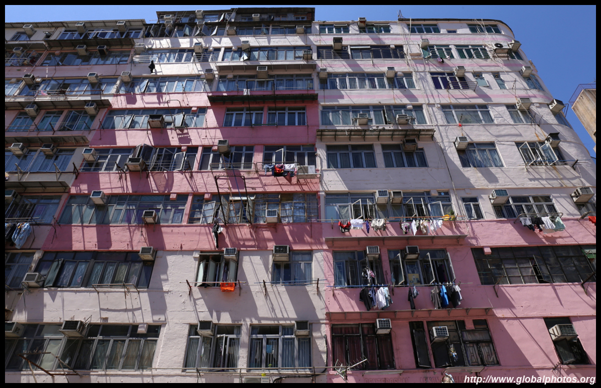
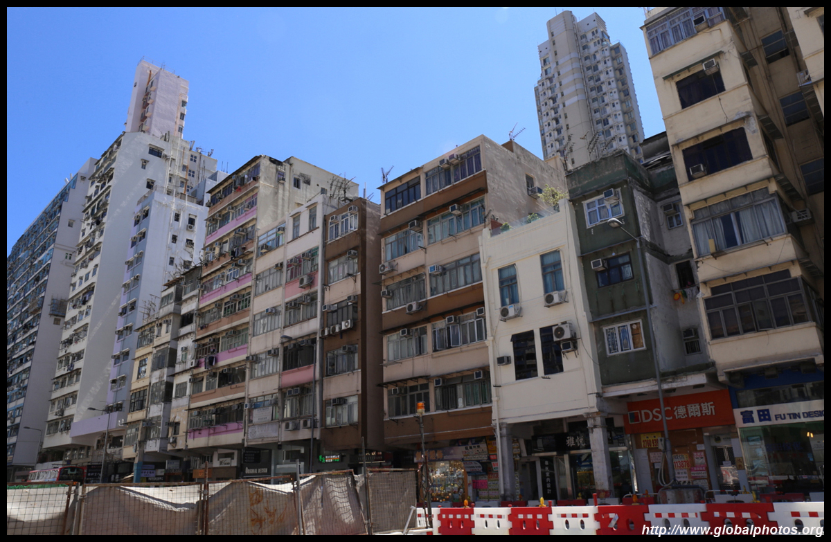
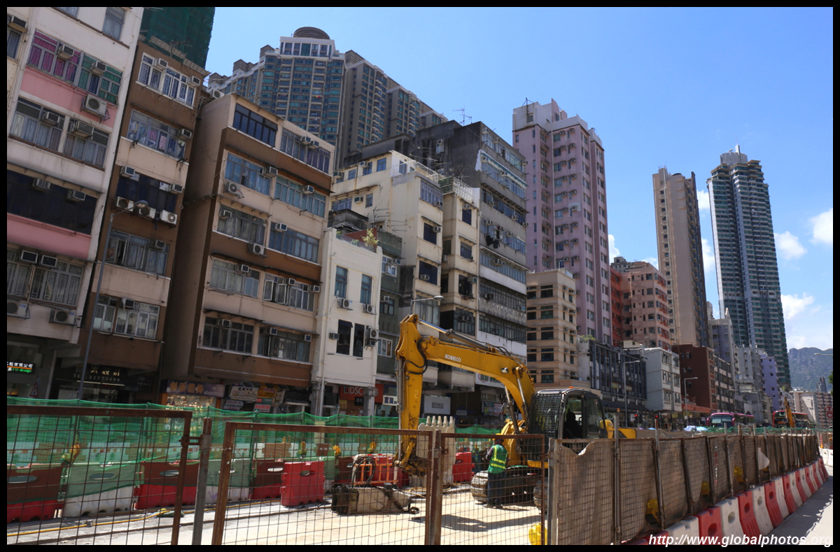
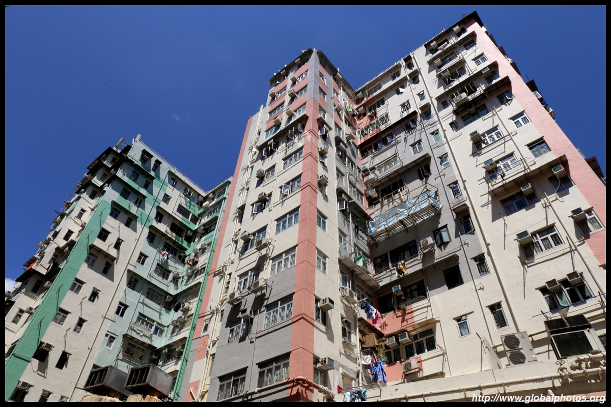
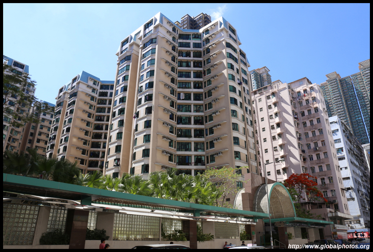
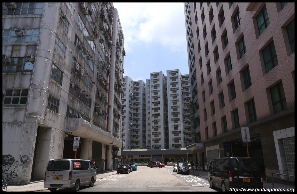
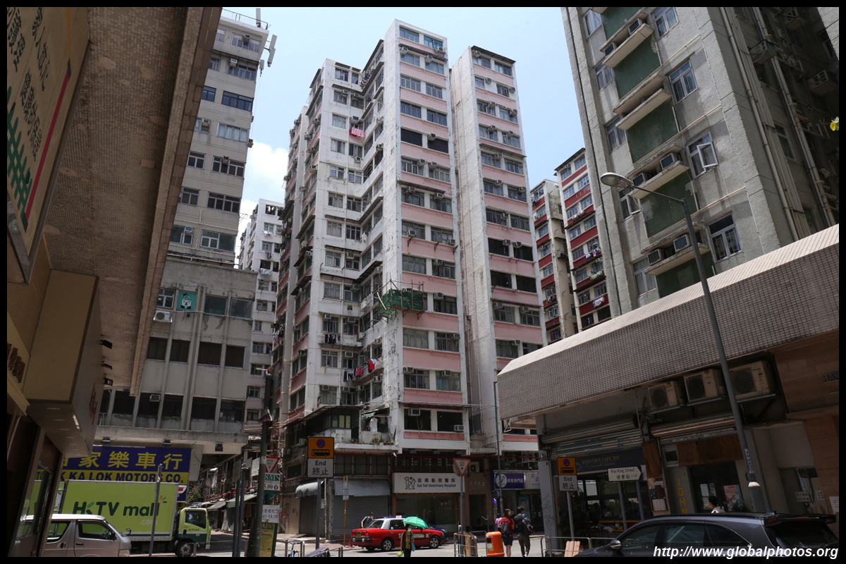
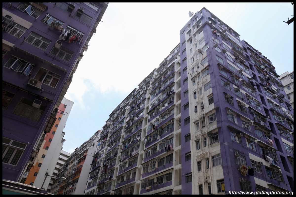
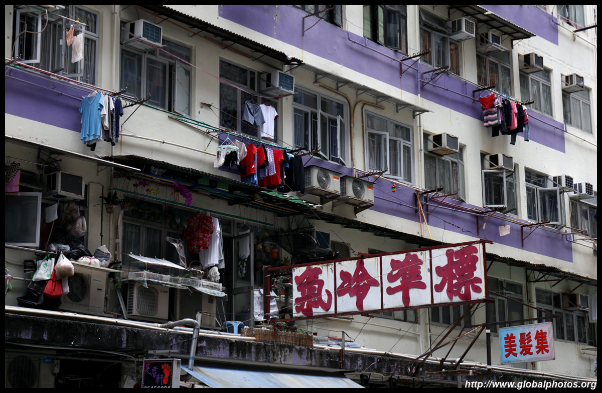
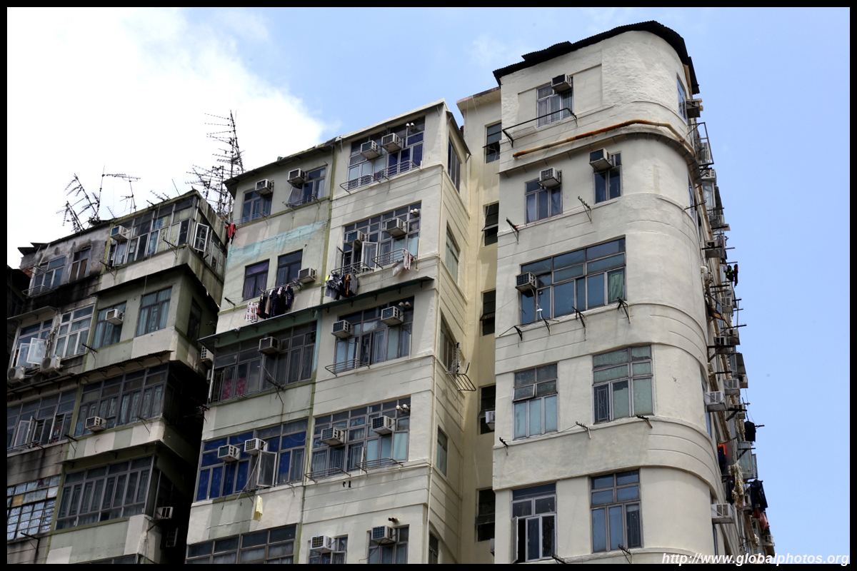
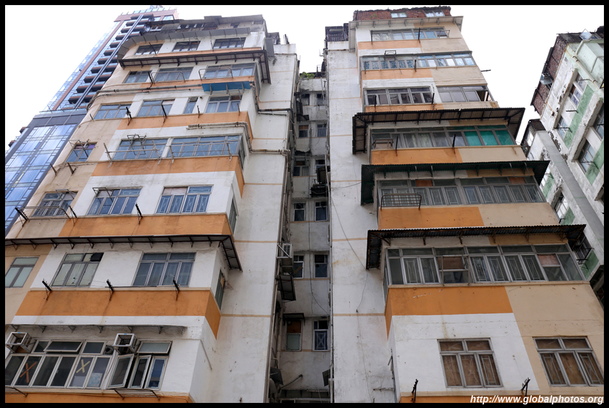
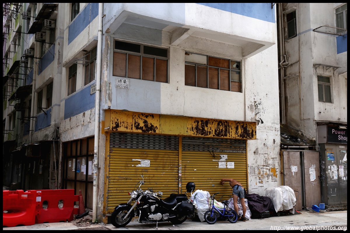
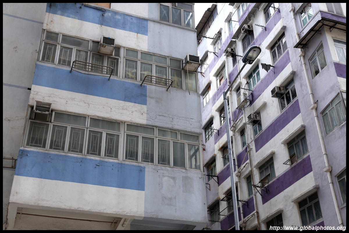
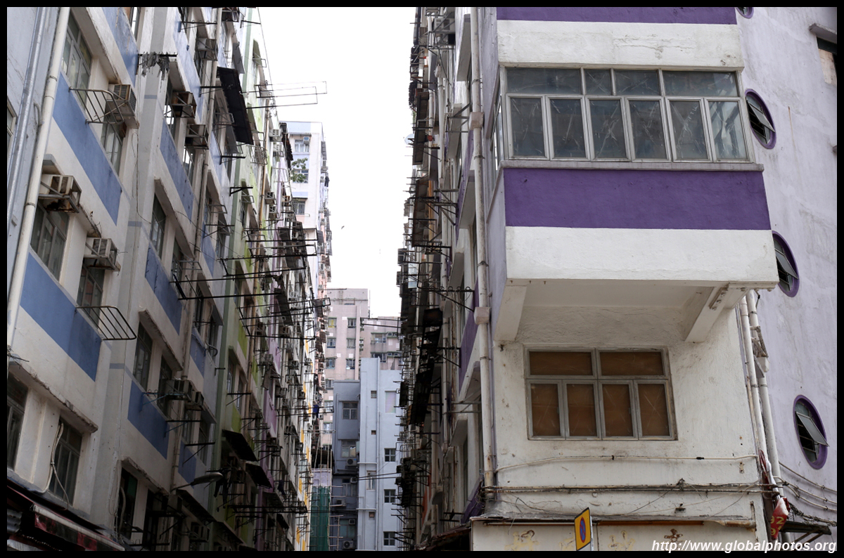
Just off Ma Tau Wai Road are a series of old 6-9 storey blocks completed between 1957 and 1961 with a series of similar-named streets : Wan Fuk, Wan Tat, Wan Fat, Wan Hing, and Wan Lok. These buildings are being redeveloped by the government, affecting over 2600 residents across almost 1000 households.
| |||
 |
 |
 |
 |
 |
 |
 |
 |
 |
 |
 |
 |
 |
 |
 |
 |