
Canadian Rocky Mountains
Columbia Icefield
Introduction | ||
|
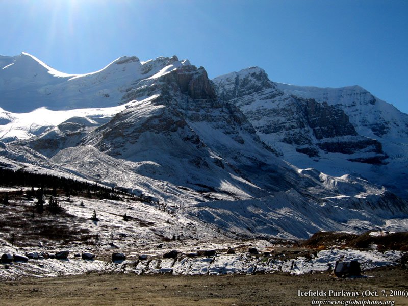
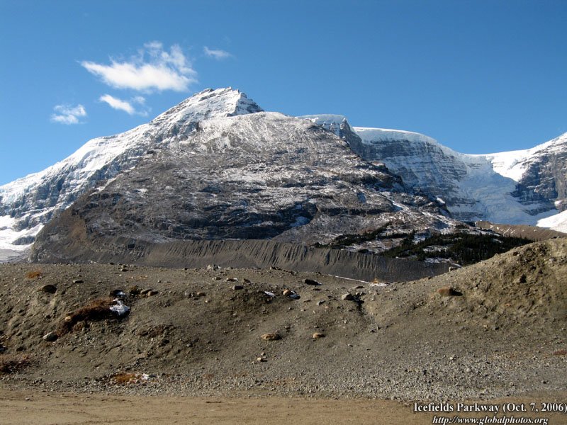
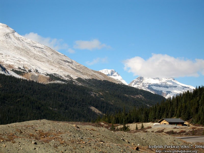
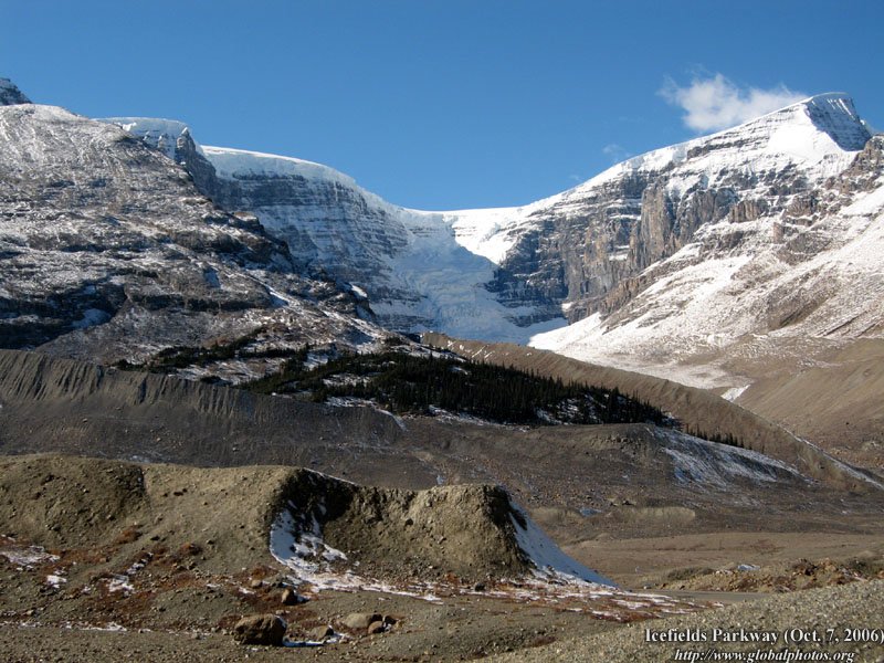
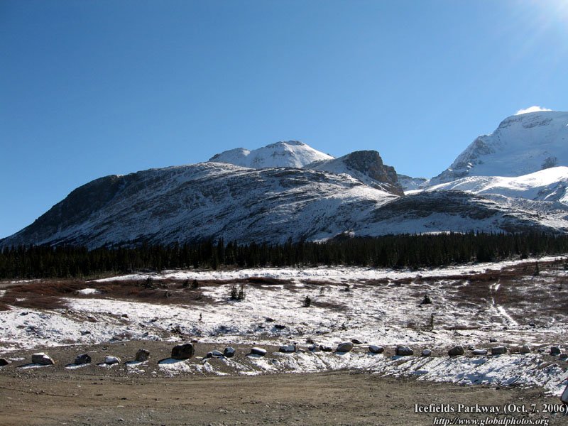
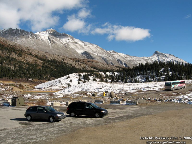
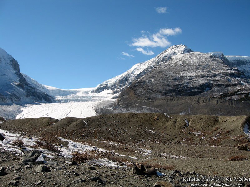
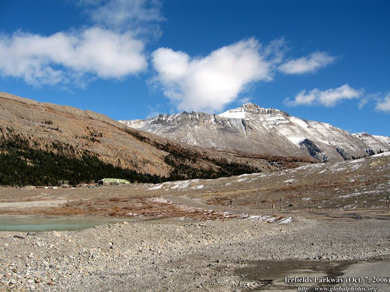
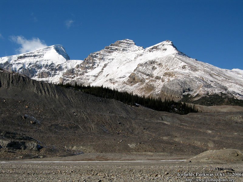
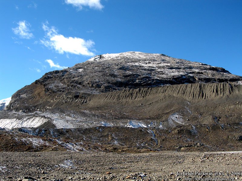
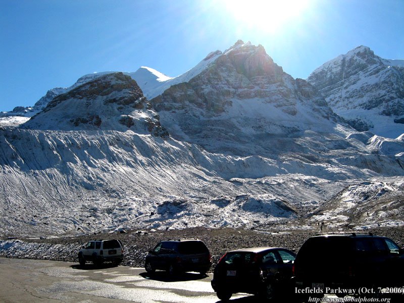
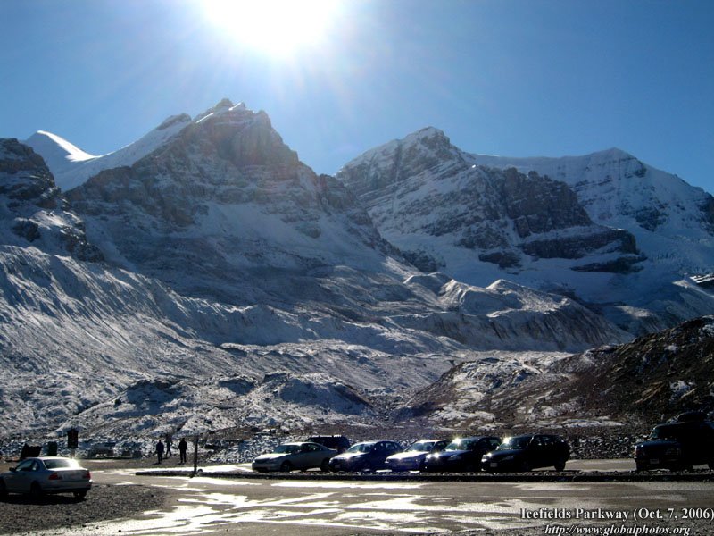
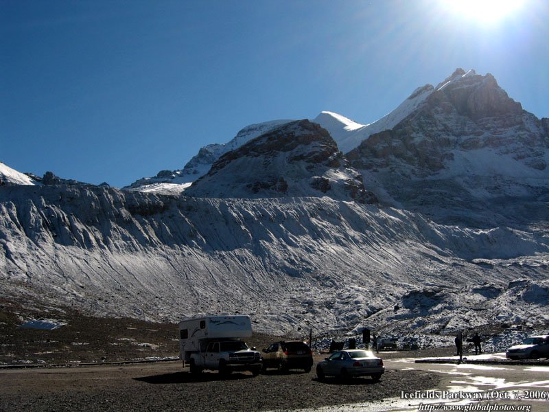
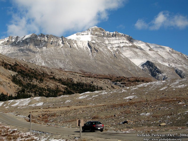
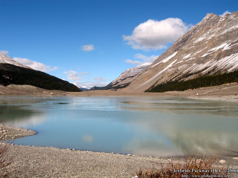
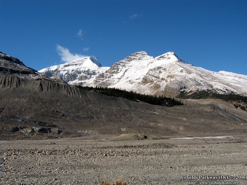
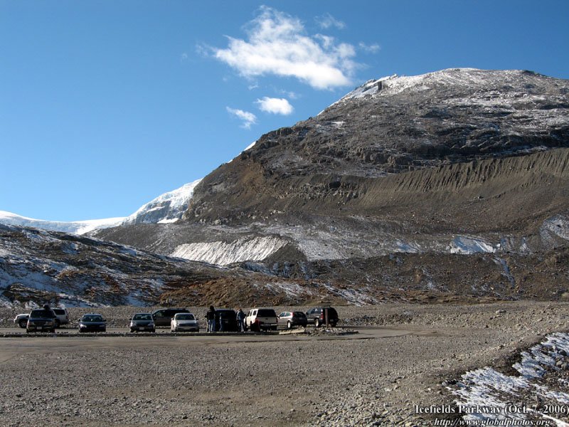
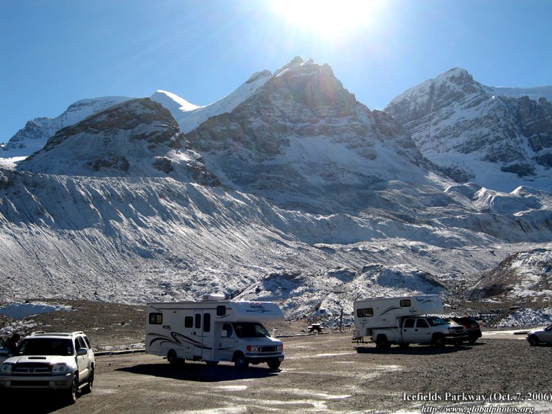
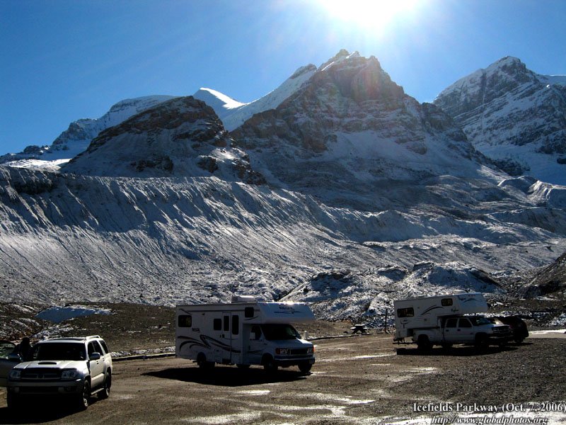
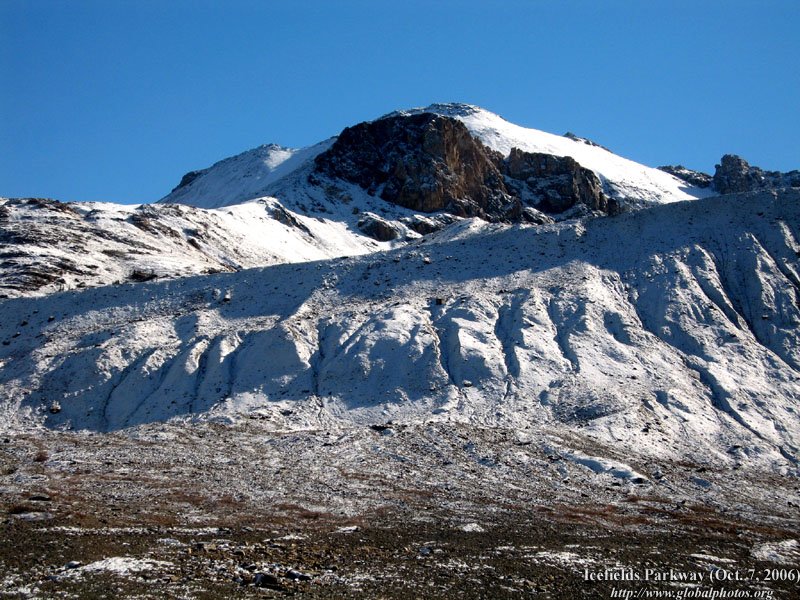
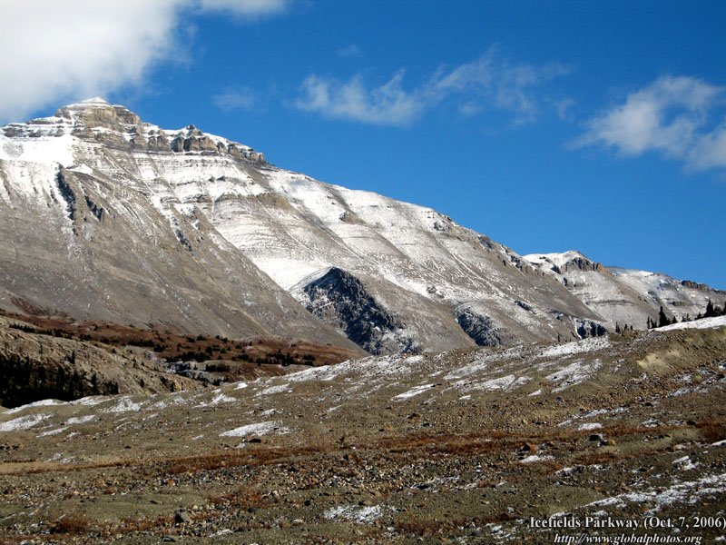
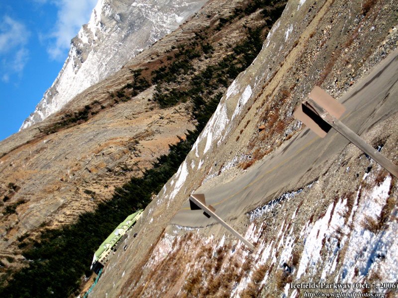
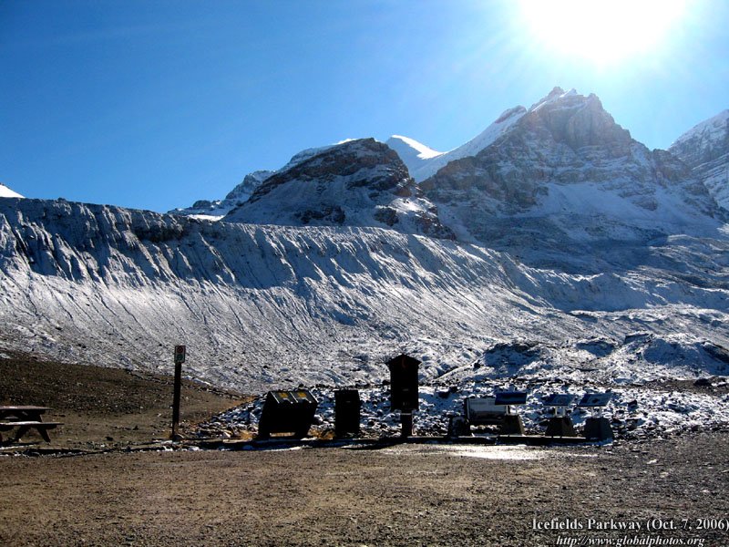
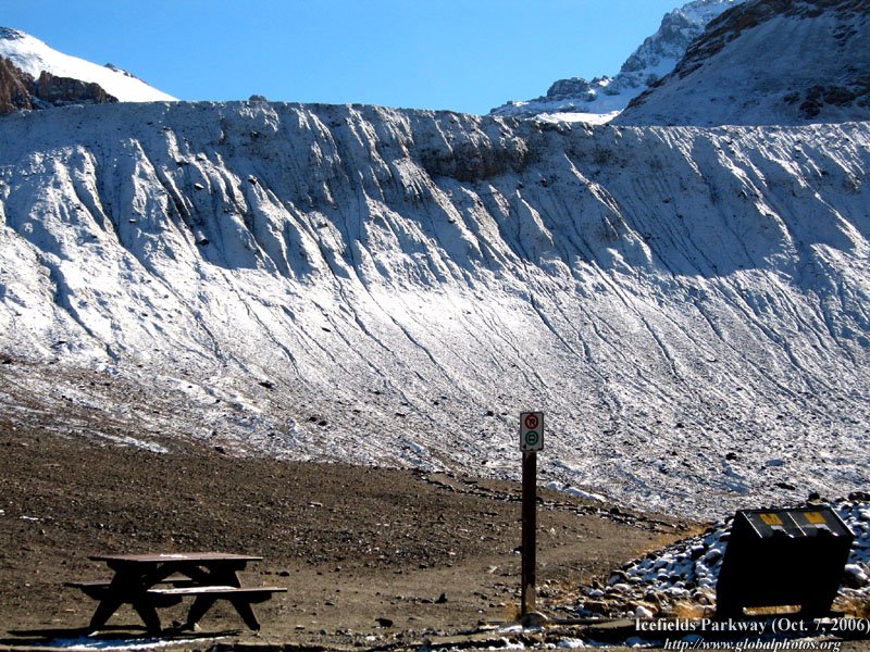
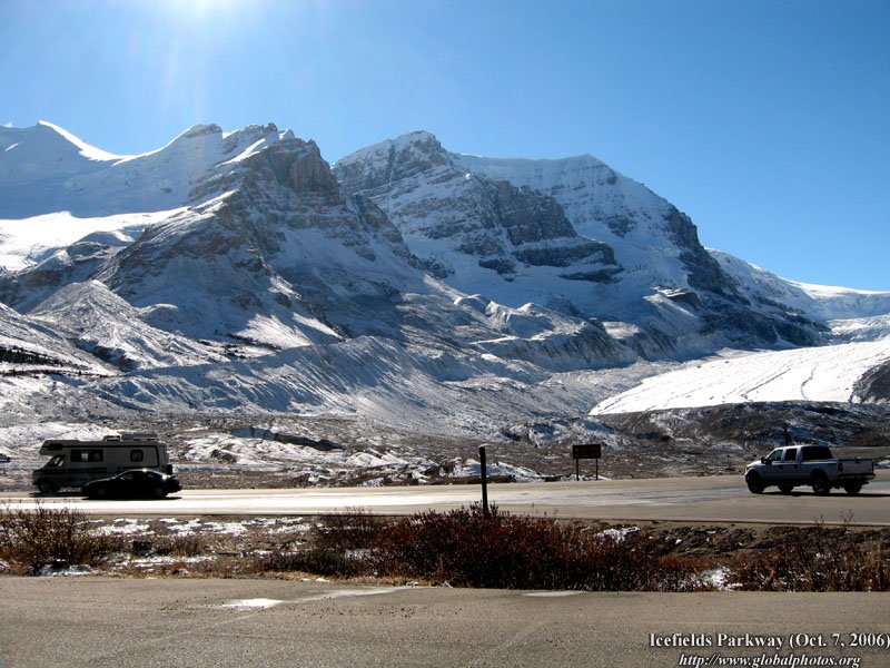
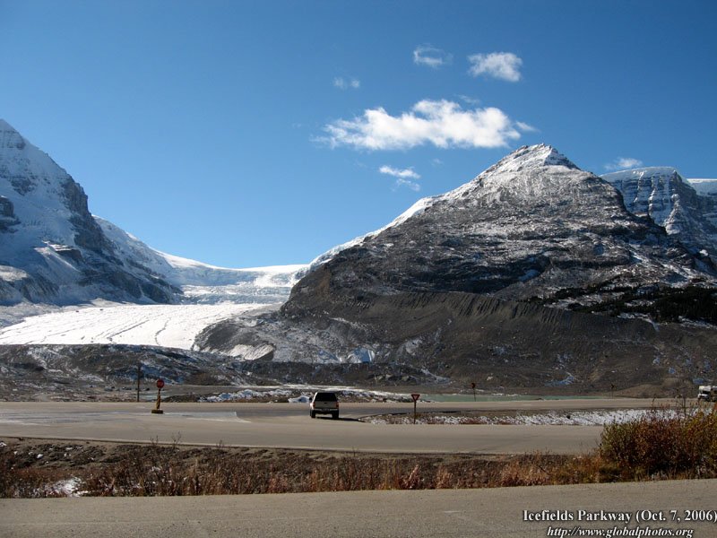
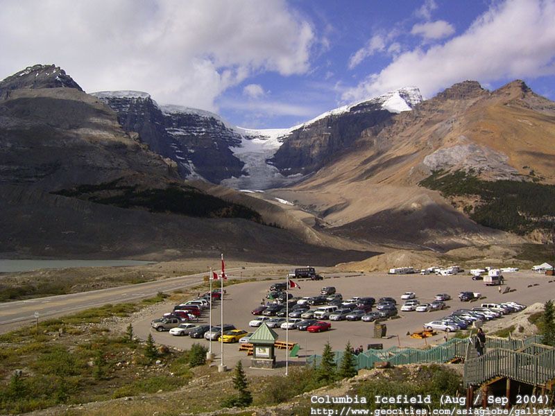
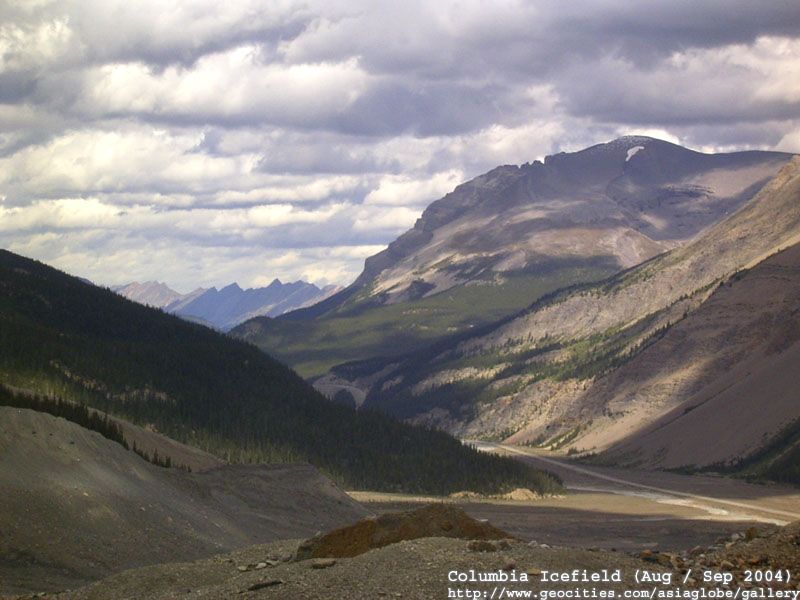
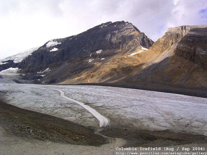
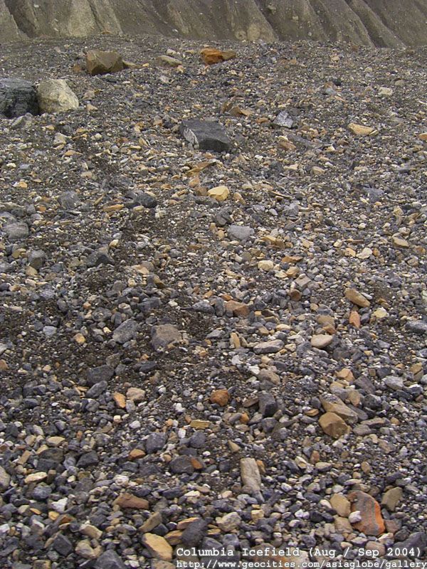
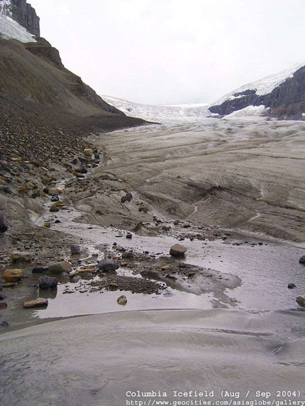
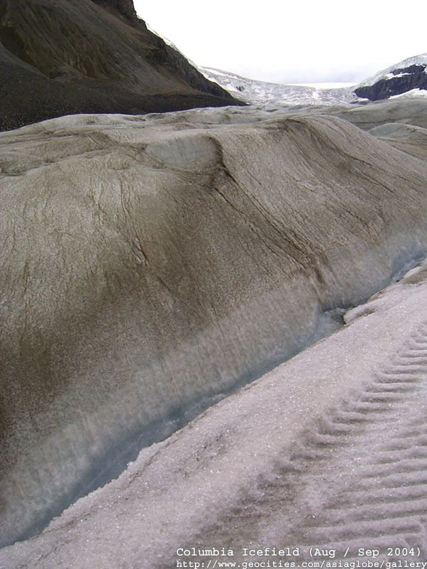
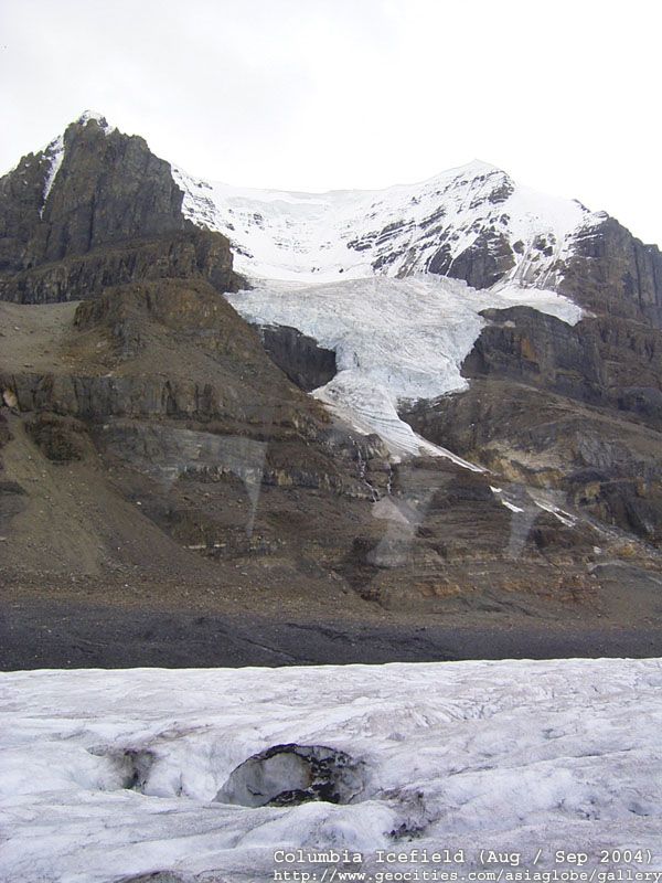
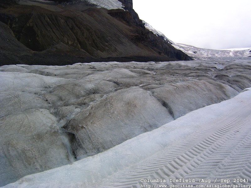
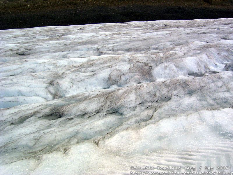
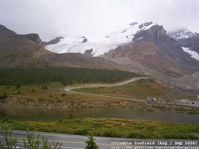
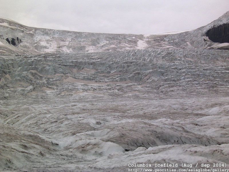
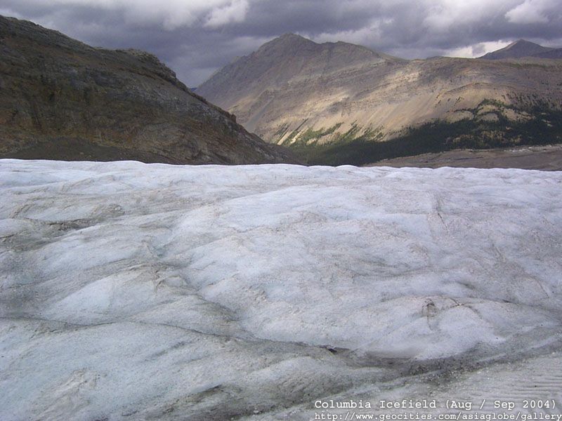
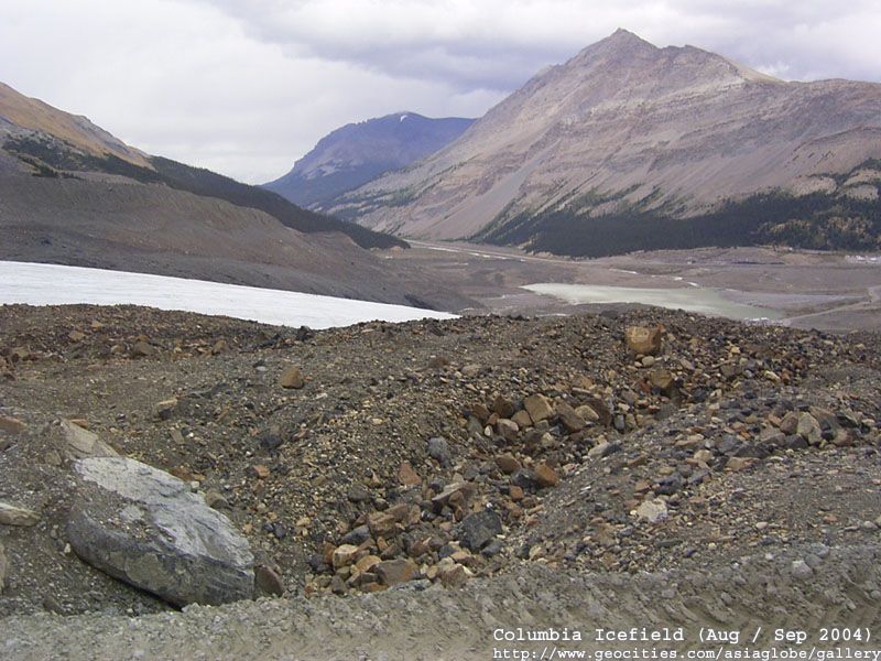
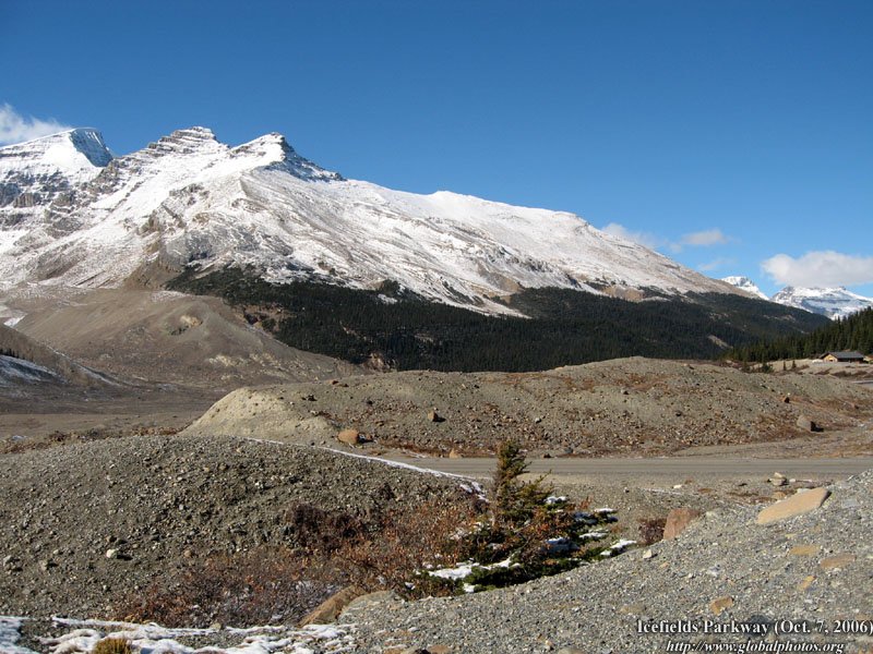
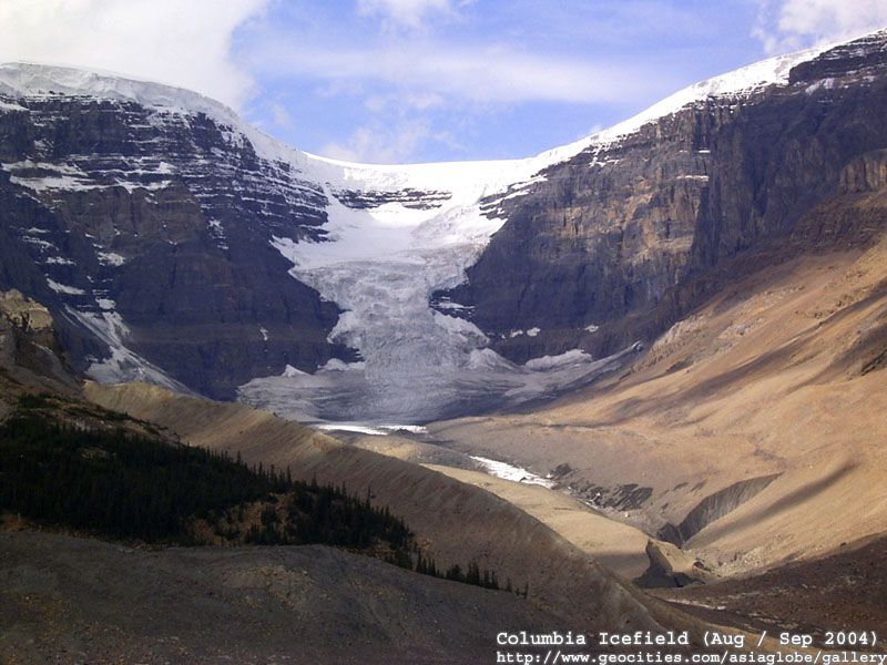
The Columbia Icefield is a surviving remnant of the thick ice mass that once mantled most of Western Canada's mountains. Lying on a wide, elevated plateau, it is the largest icefield in the Canadian Rockies. Ideally placed to catch much of the moisture that Pacific winds carry across the British Columbia interior, most of this precipitation falls as snow; up to 7 metres a year! Since more snow falls in a year than can melt during the short summer season, it accumulates. As time passes, the snow transforms into ice and begins to flow outward through gaps in the mountains surrounding the icefield, creating great tongues of ice called glaciers. The Athabasca is the most-visited glacier on the North American continent. Situated across from the Icefield Centre, its ice is in continuous motion, creeping forward at the rate of several centimeters per day. Spilling from the Columbia Icefield over three giant bedrock steps, the glacier flows down the valley like a frozen, slow-moving river. Because of a warming climate, the Athabasca Glacier has been receding or melting for the last 125 years. Losing half its volume and retreating more than 1.5 kms, the shrinking glacier has left a moonscape of rocky moraines in its wake.
|
||
|
||
|
|
|
|
|
|
|
|
|
|
|
|
|
|
|
|
||
|
|
|
|
|
|
|
|
|
|
||
|
|
|
|
|
|
|
|
|
|
||
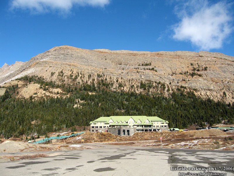
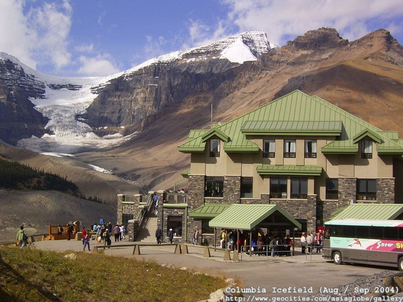
| ... from the Visitors' Centre ... | ||
|
||
 |
 |
 |
 |
 |
 |
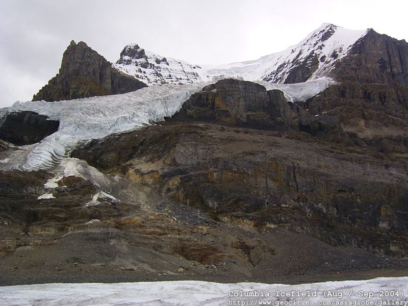
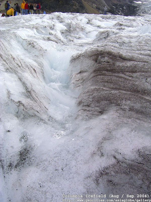
| ... into the glacier (notice the dark blue on the ice - the compressed water) ... | ||
|
||
 |
 |
 |
 |
 |
 |
 |
 |
 |
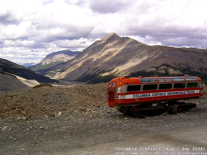
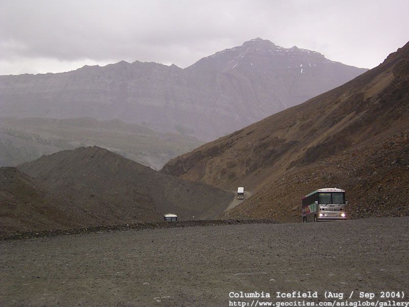
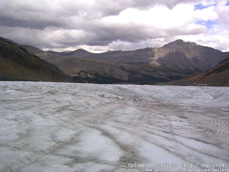
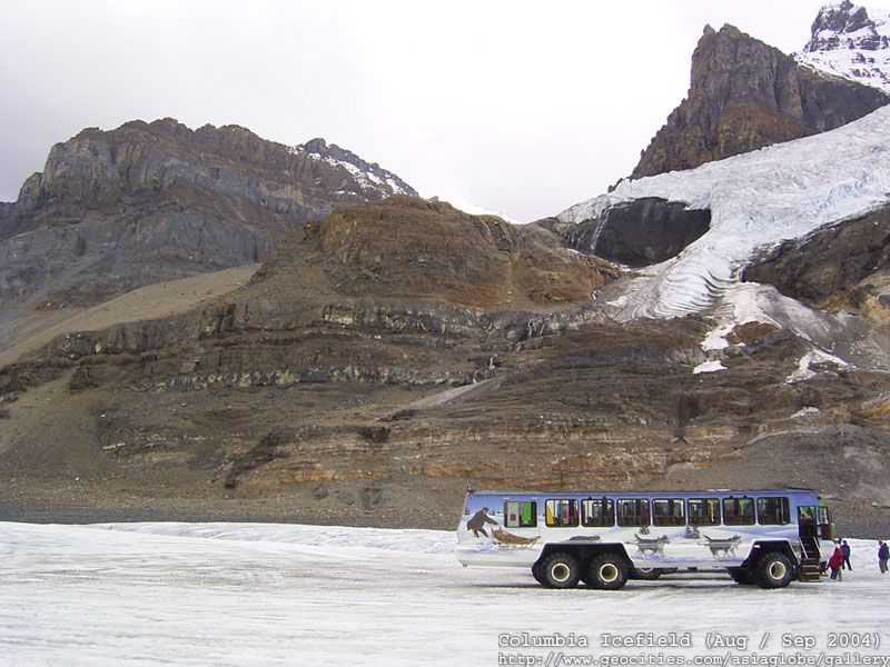
| ... the shuttle buses that run between the visitor's centre and the transfer point for the glacier vehicles ... | ||
 |
 | |
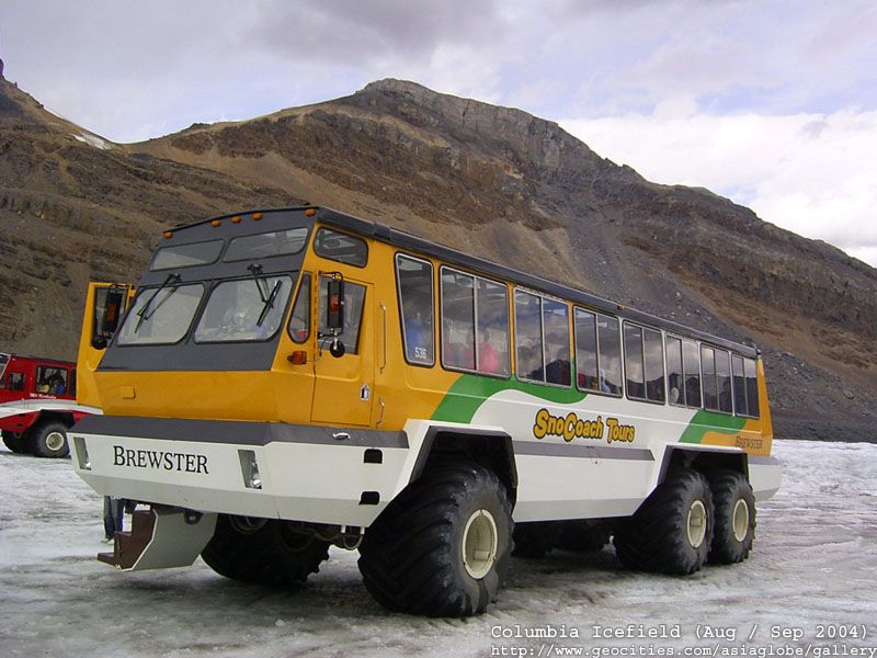
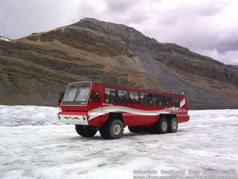
| ... on the glacier ... | ||
|
||
 |
 |
 |
 |
 |
 |
 |
 |
 |
 |
 | |

To re-use these photos, please notify me . Thank you.
[Sign Guestbook][ View Guestbook]