Toronto Photo Gallery - Markham
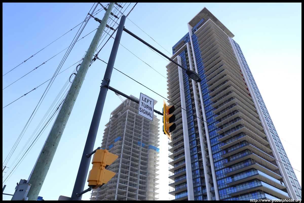
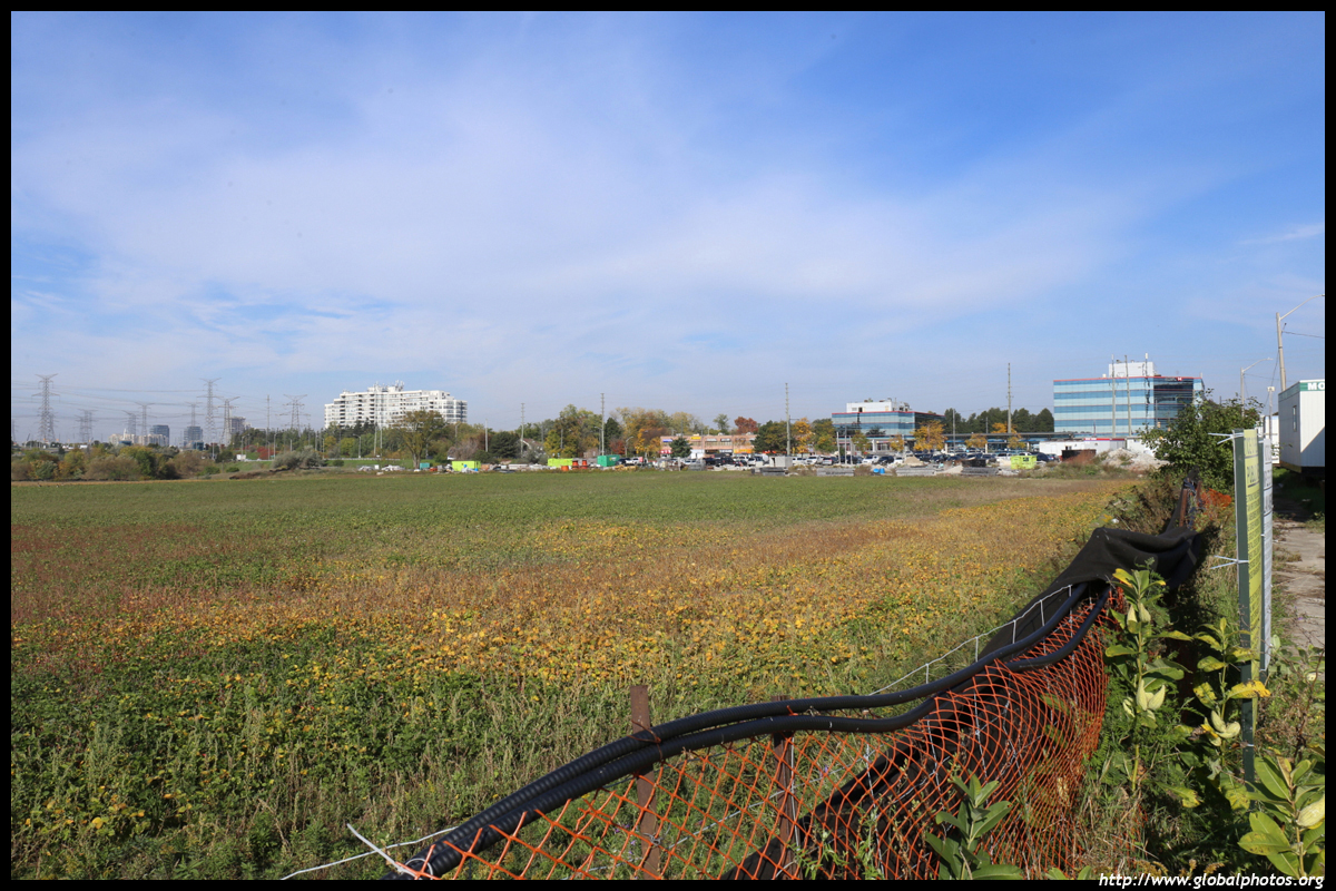
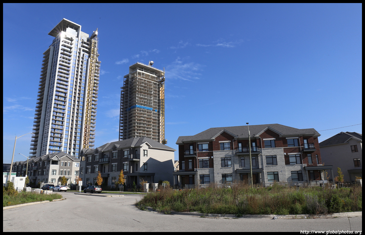
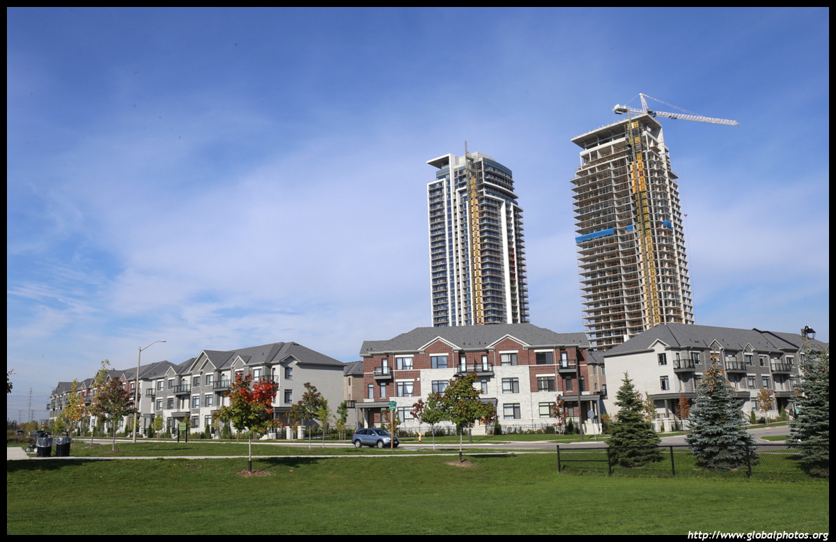
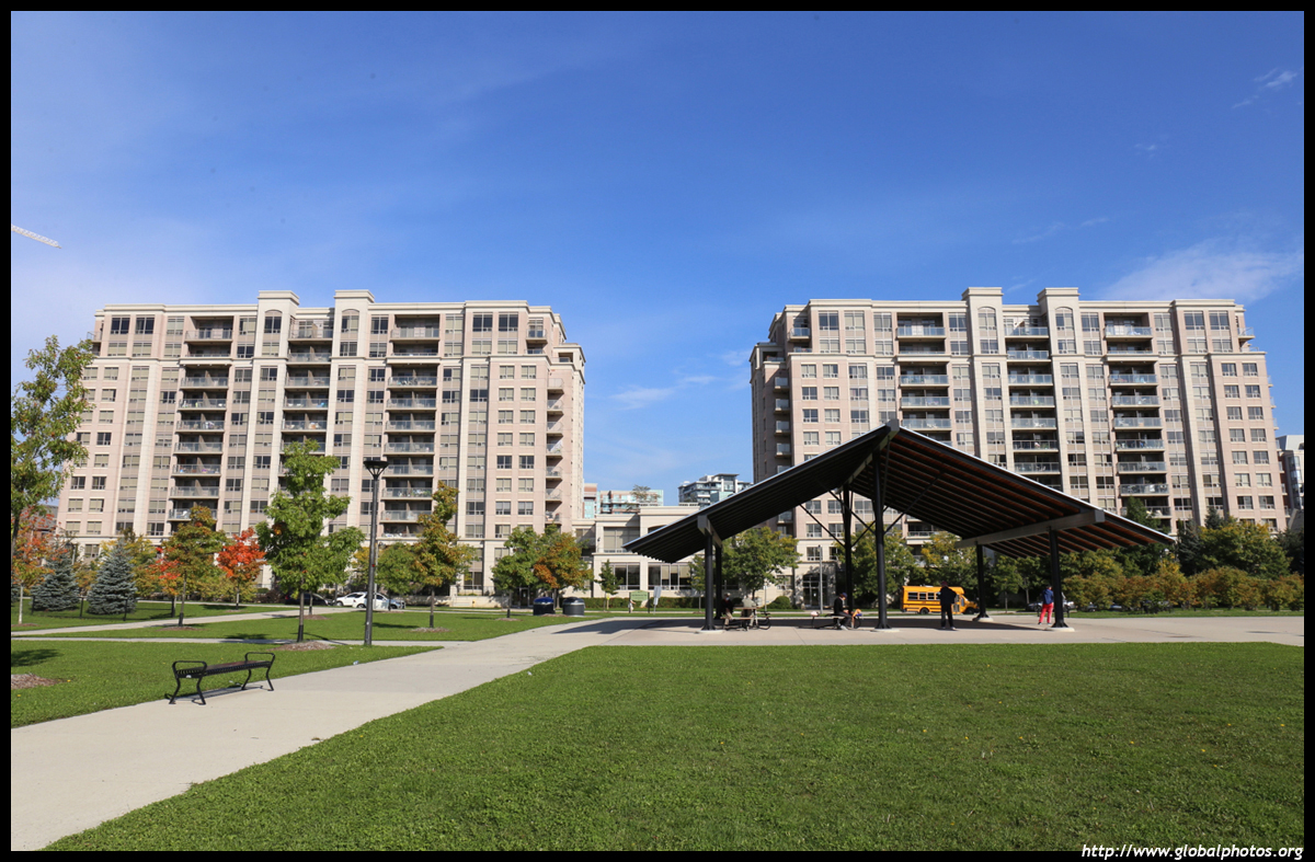
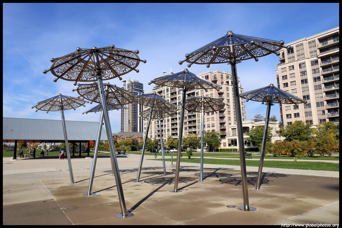
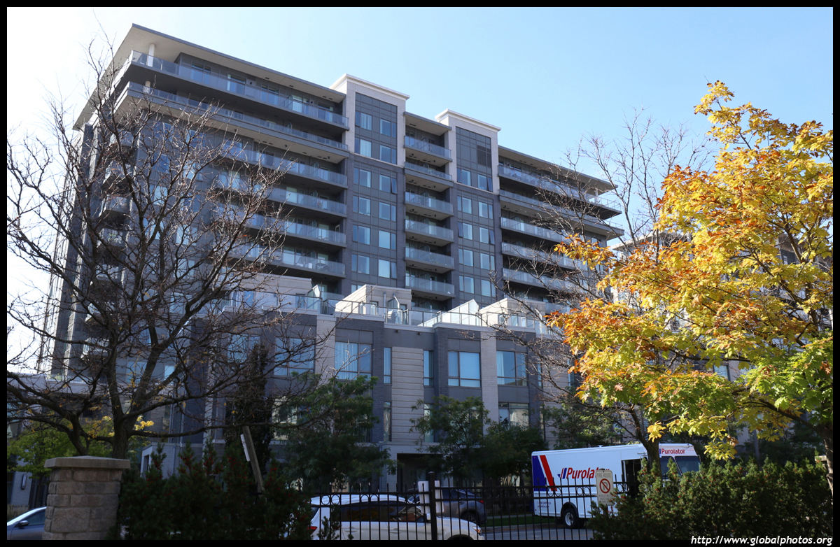
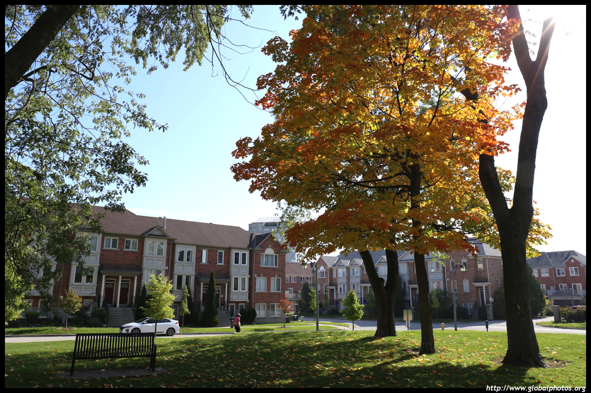
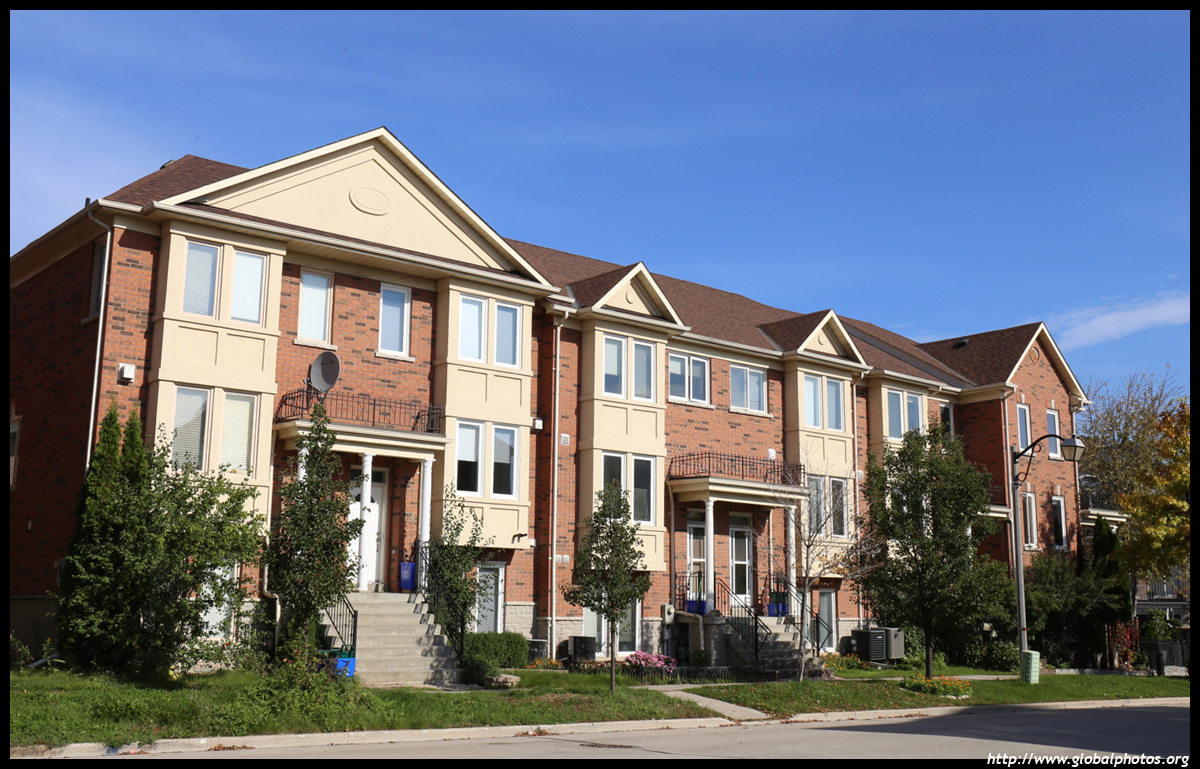
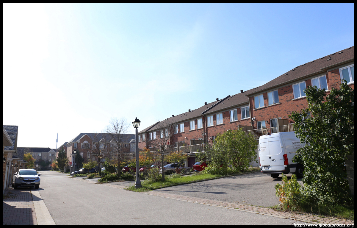
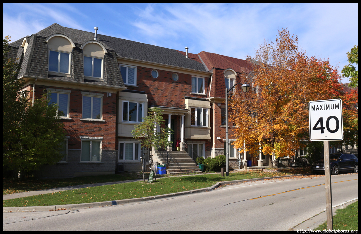
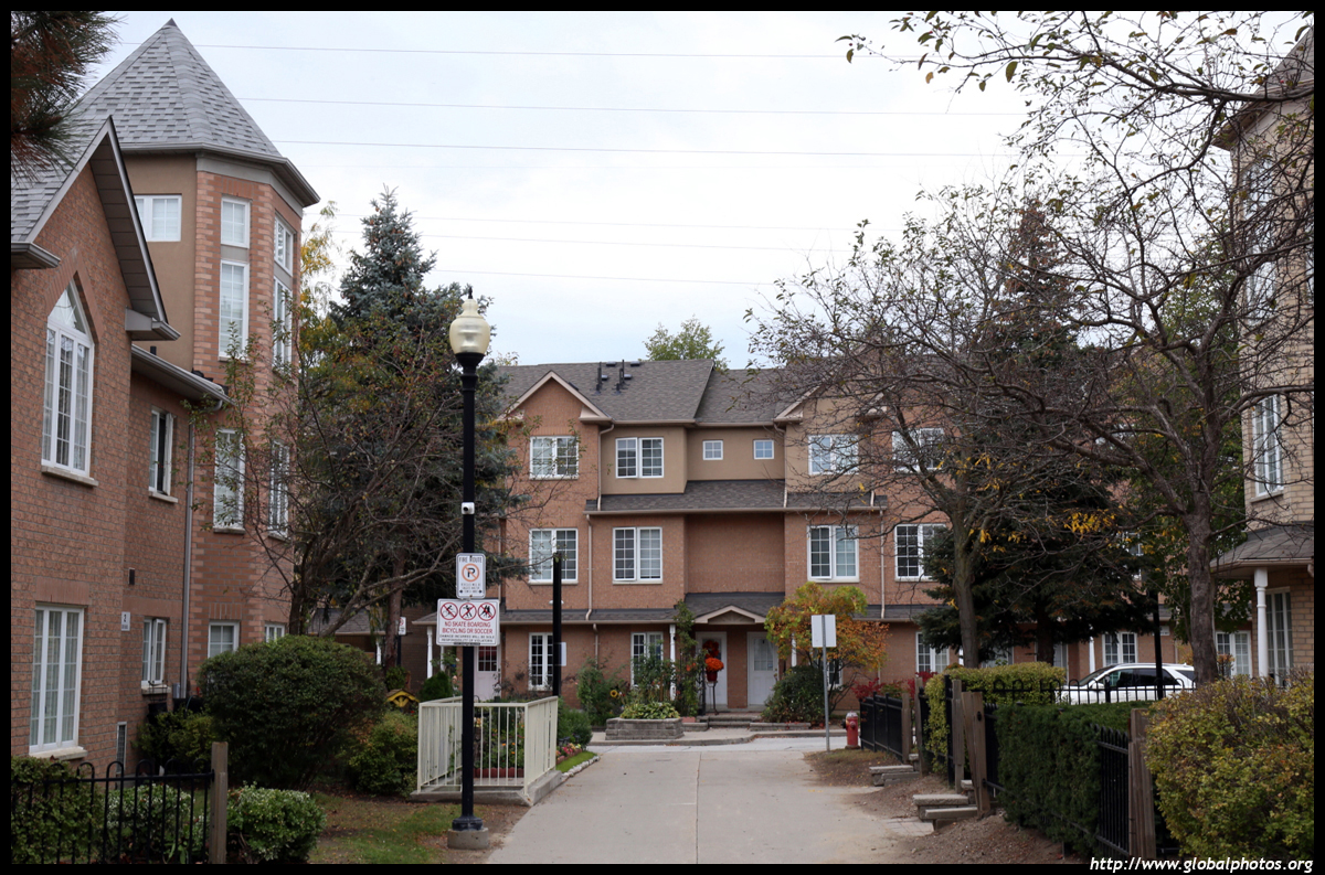
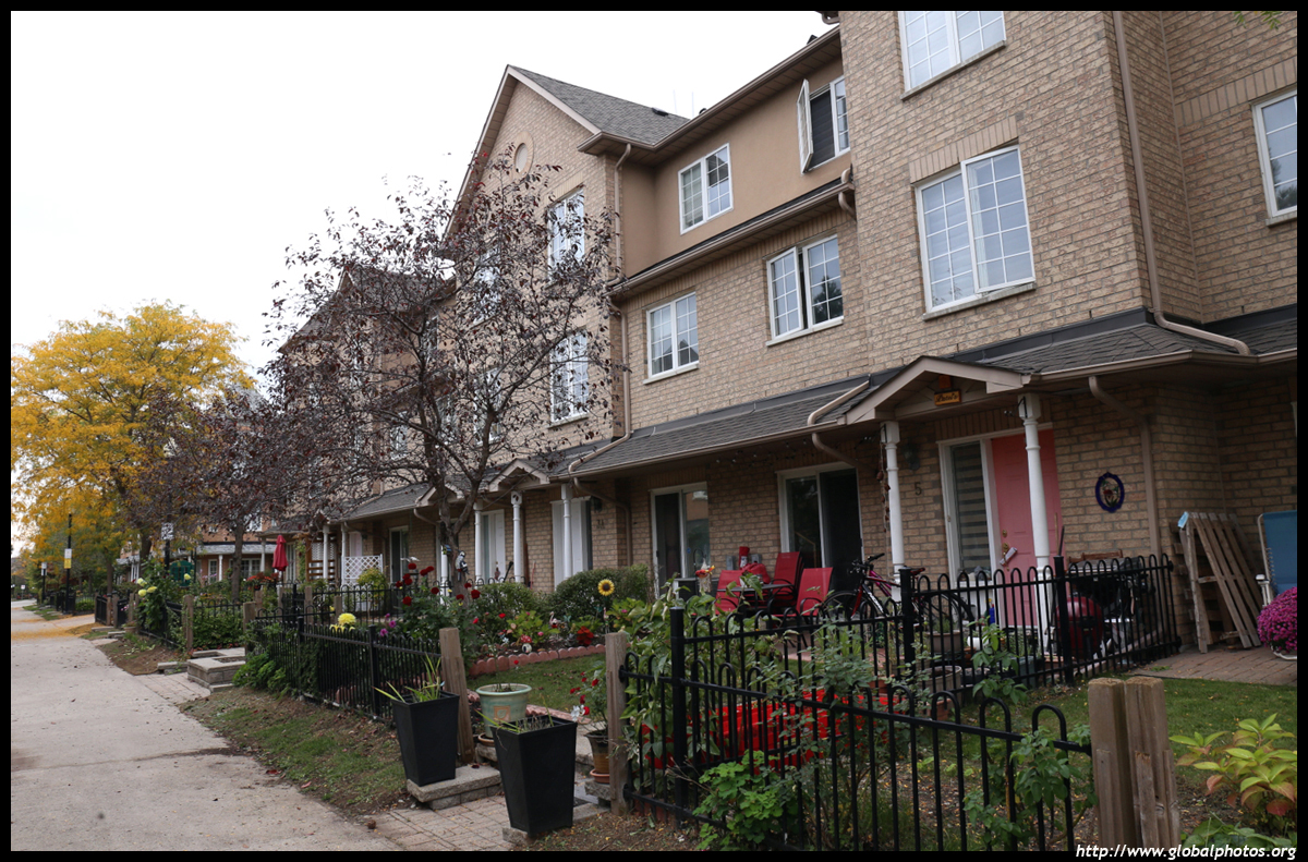
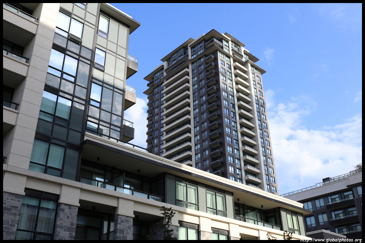
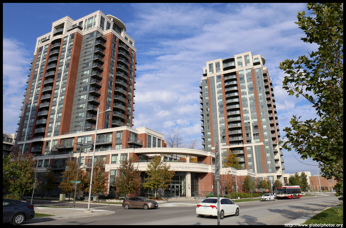
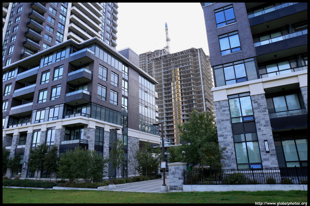
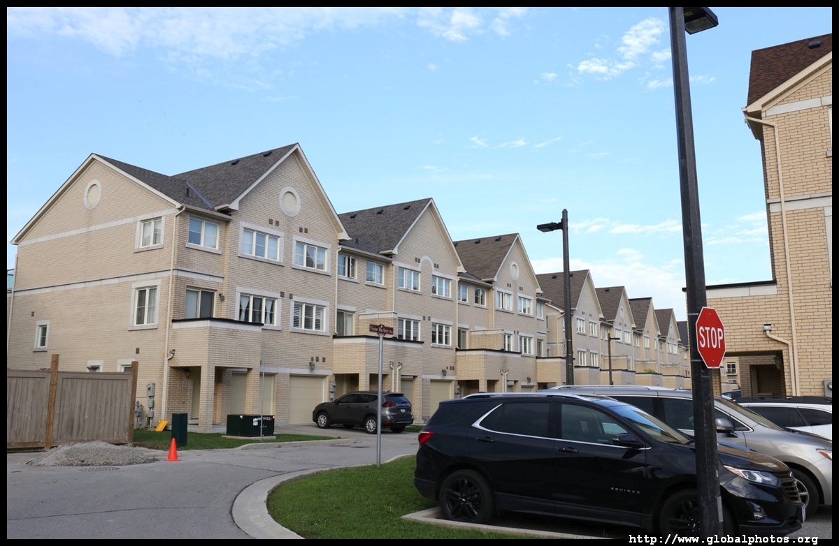
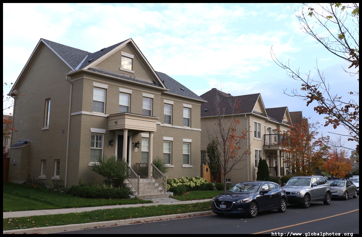
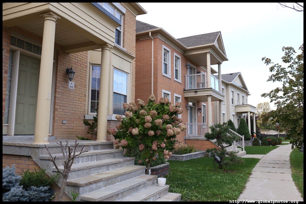
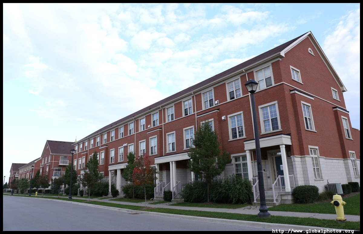
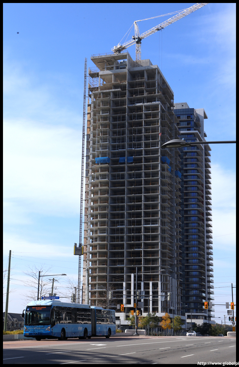
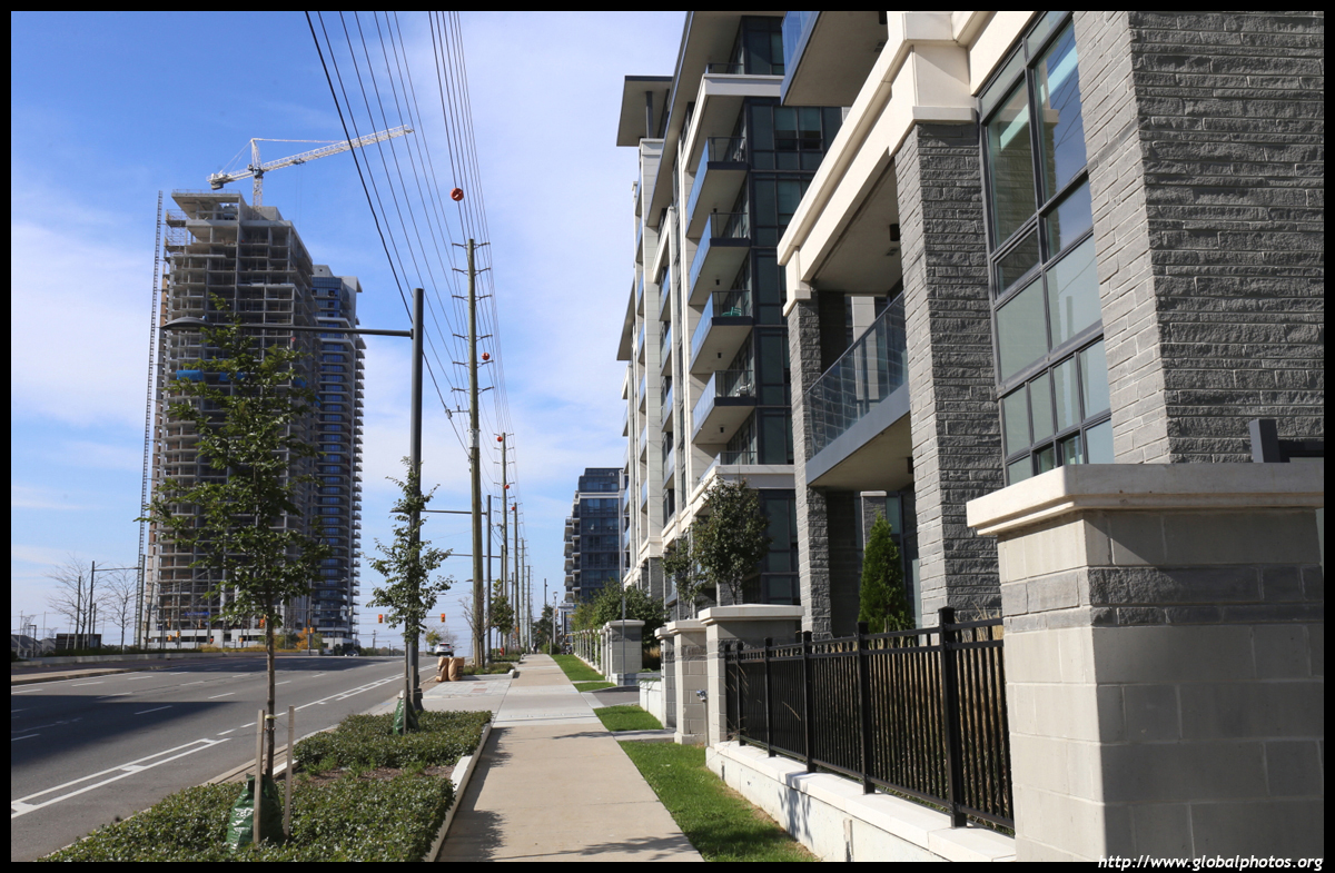
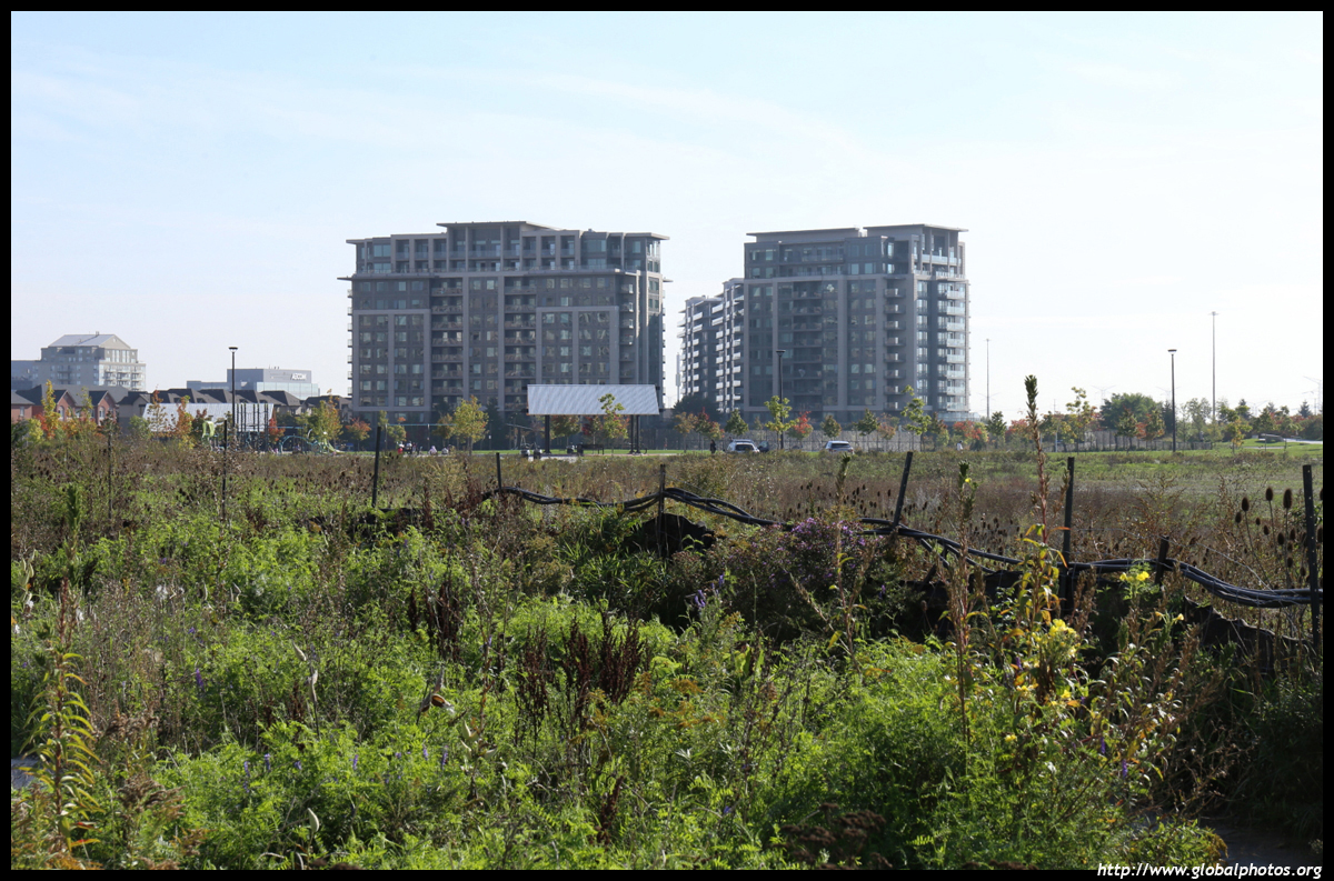
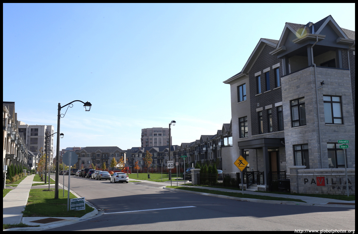
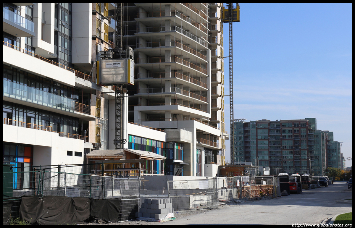
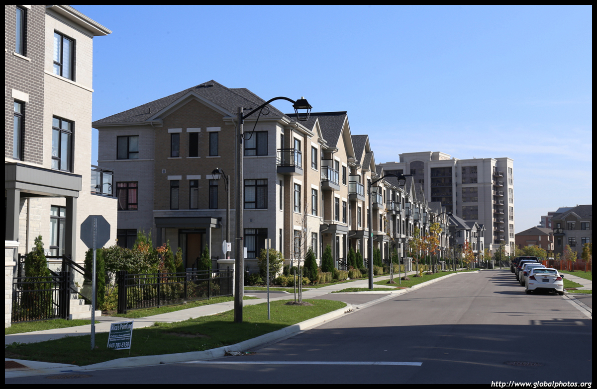
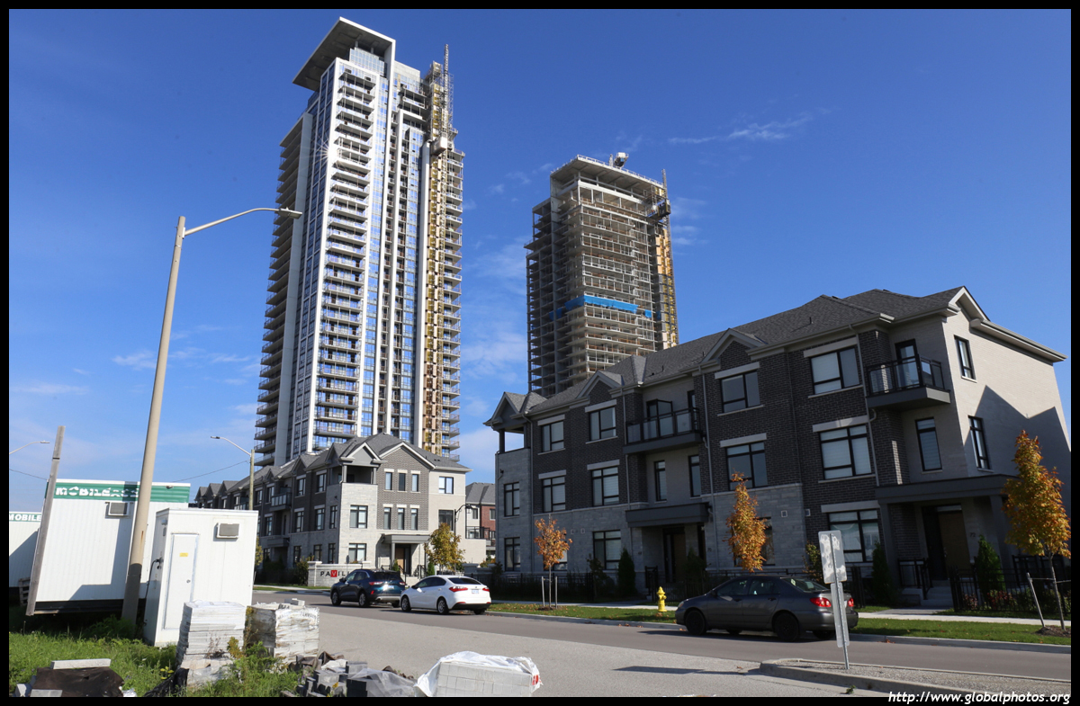
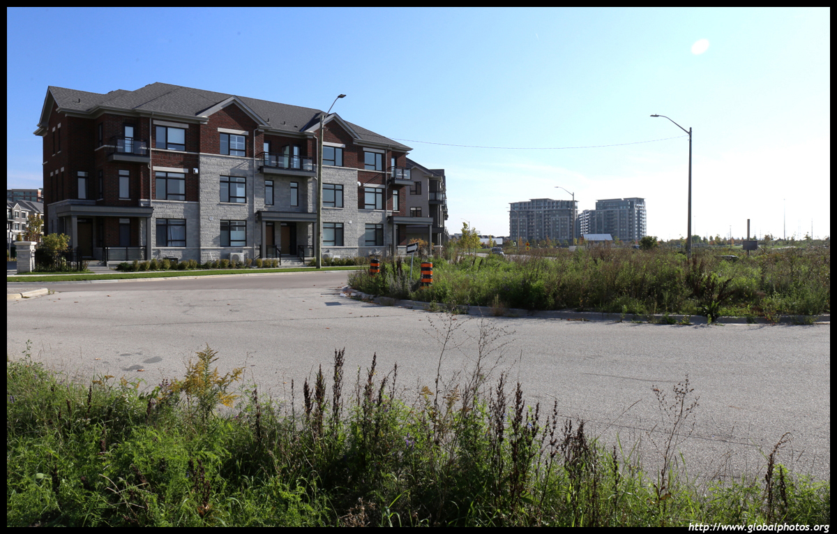
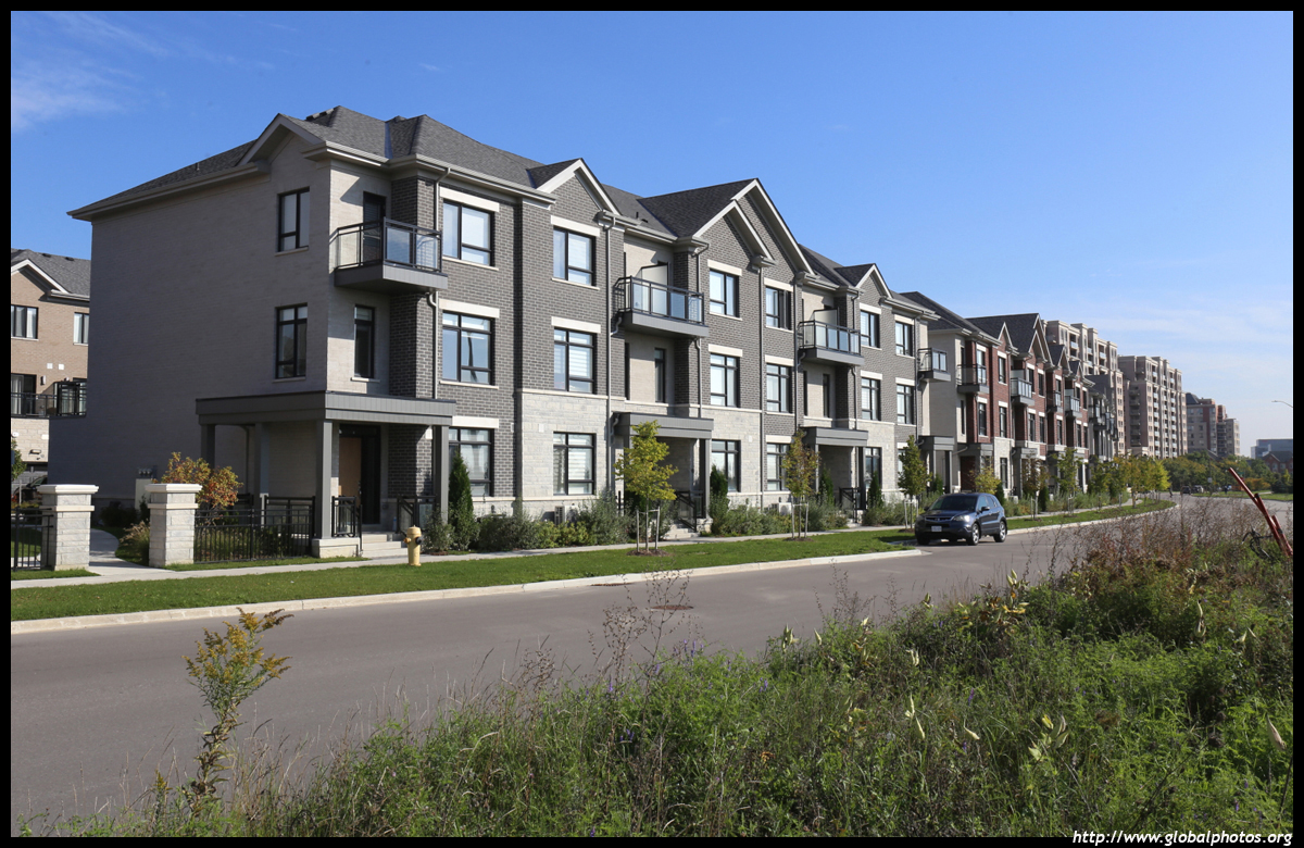
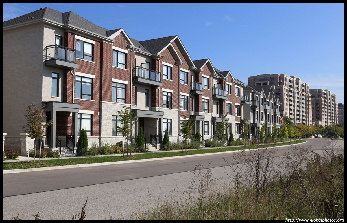
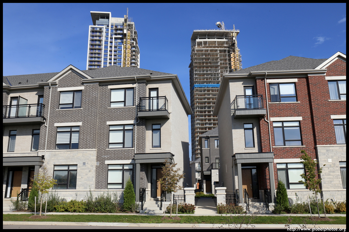
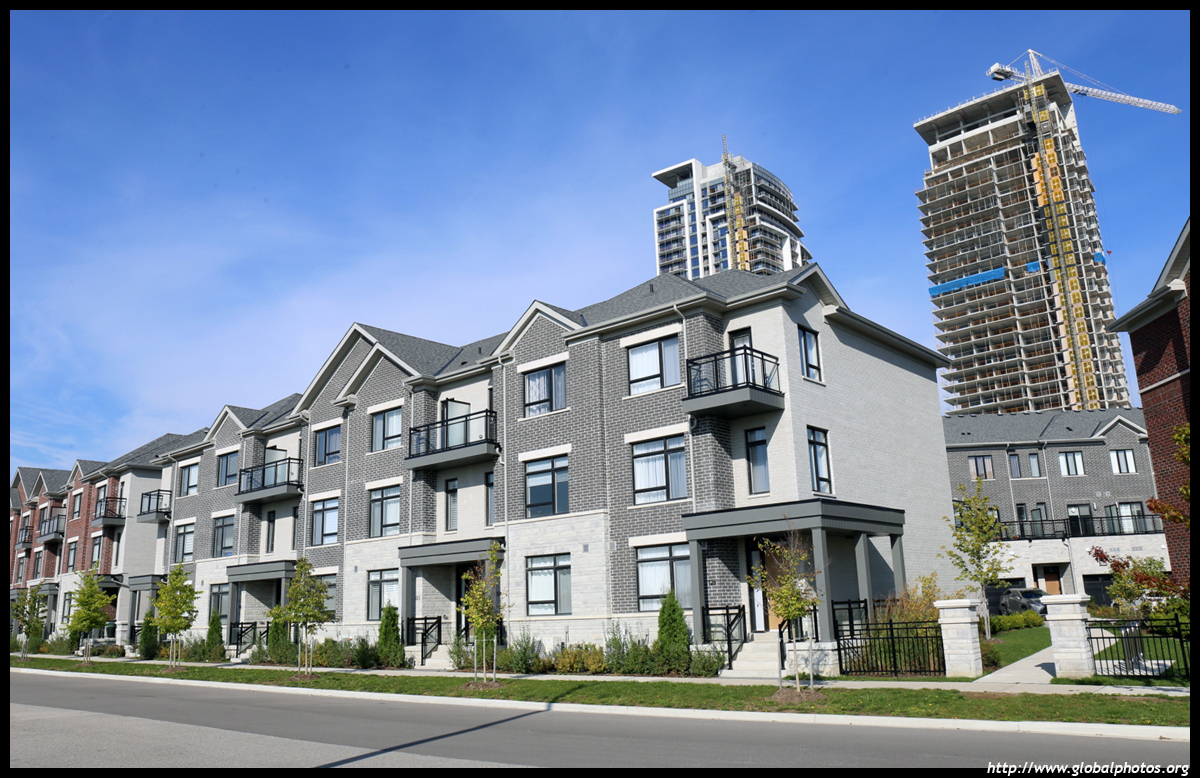
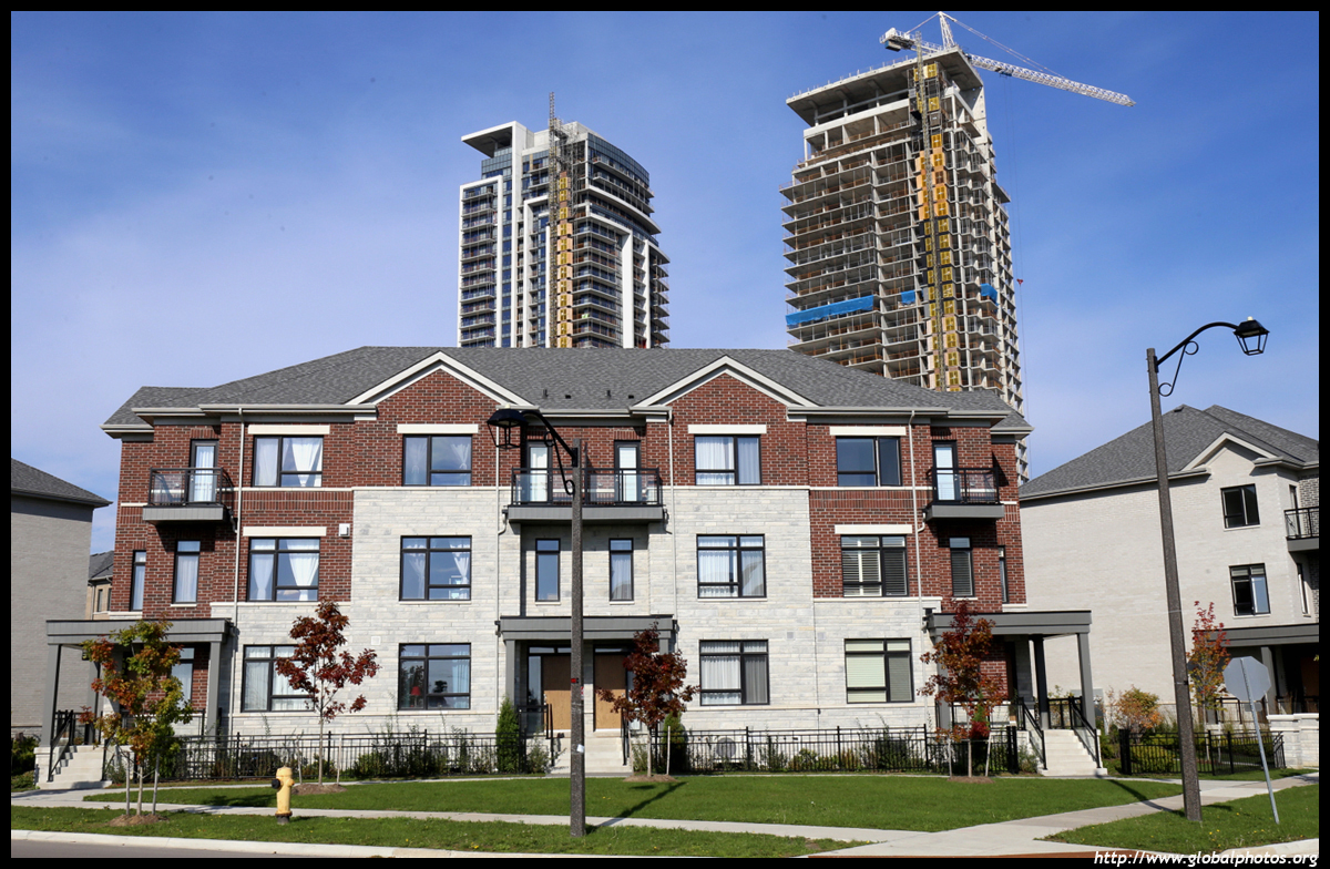
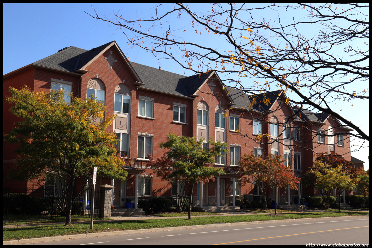
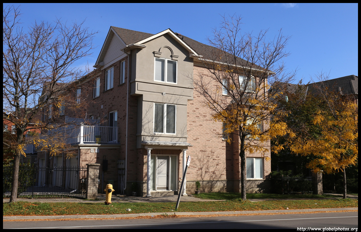
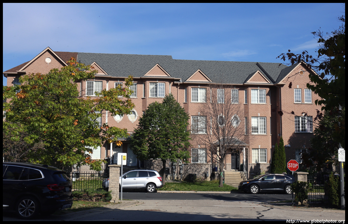
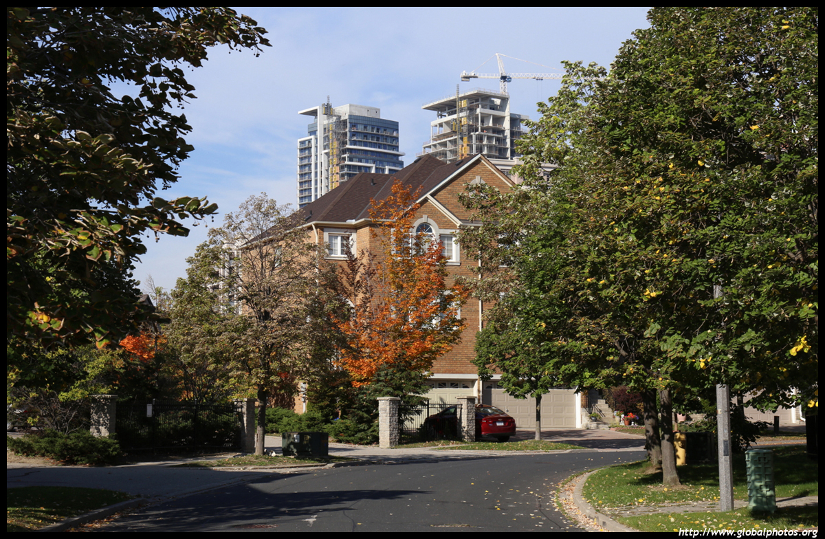
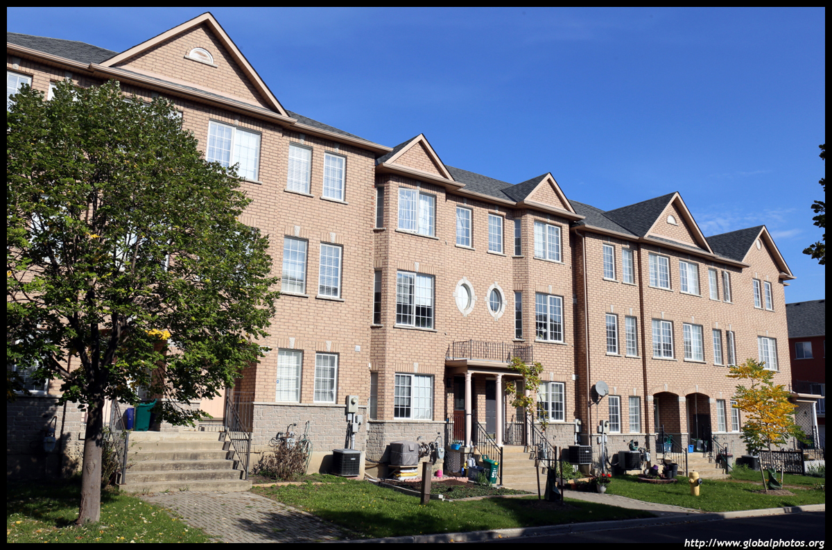
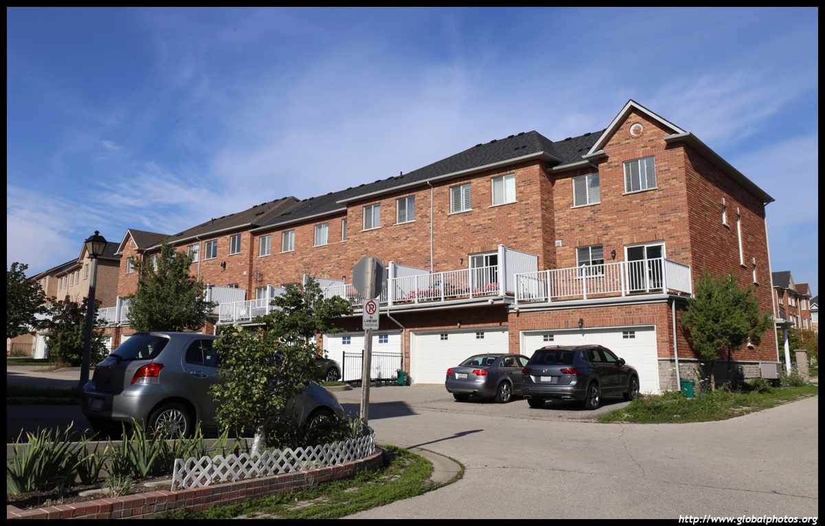
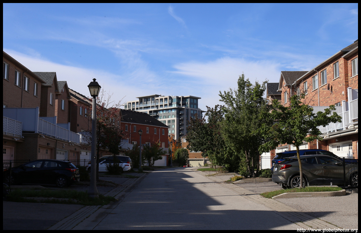
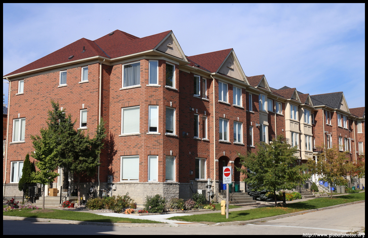
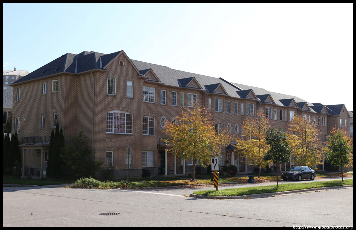
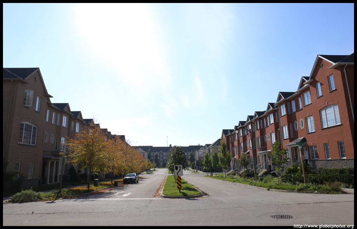
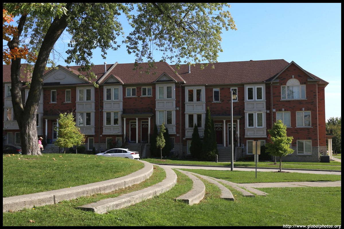
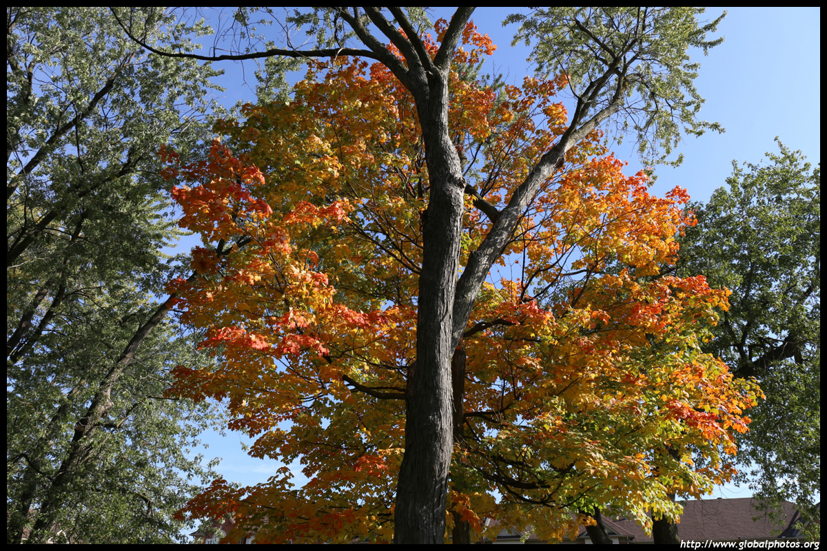
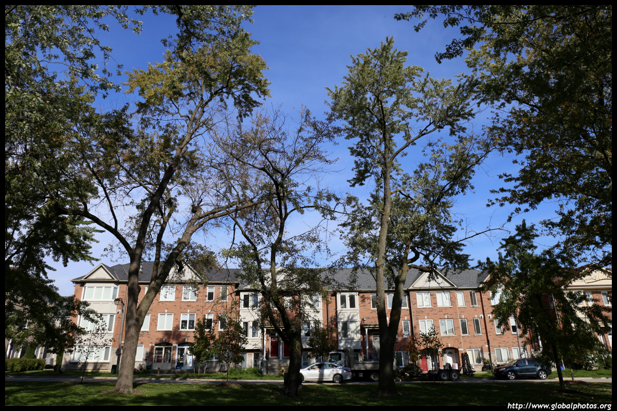
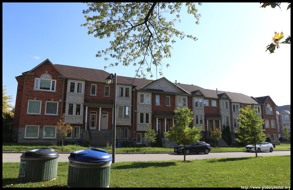
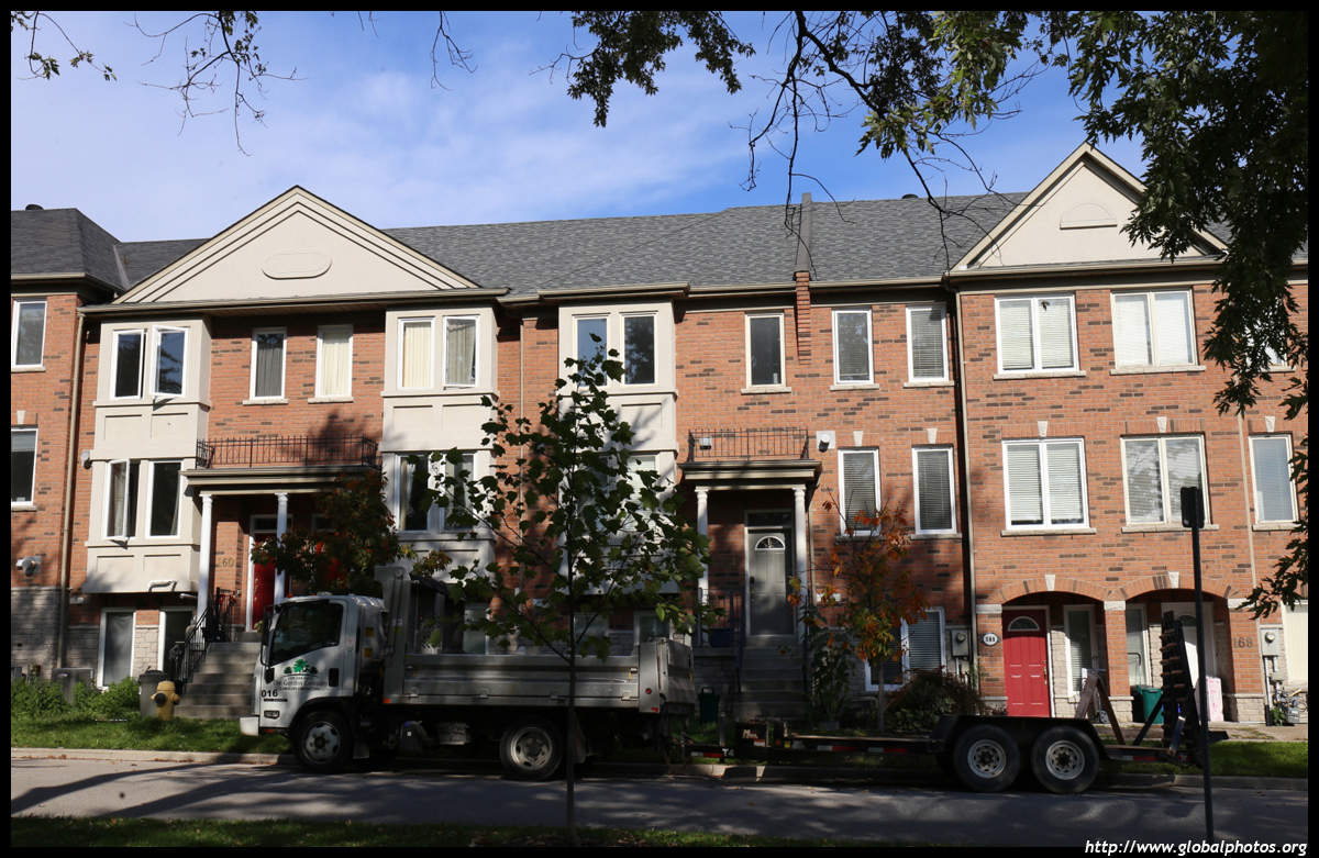
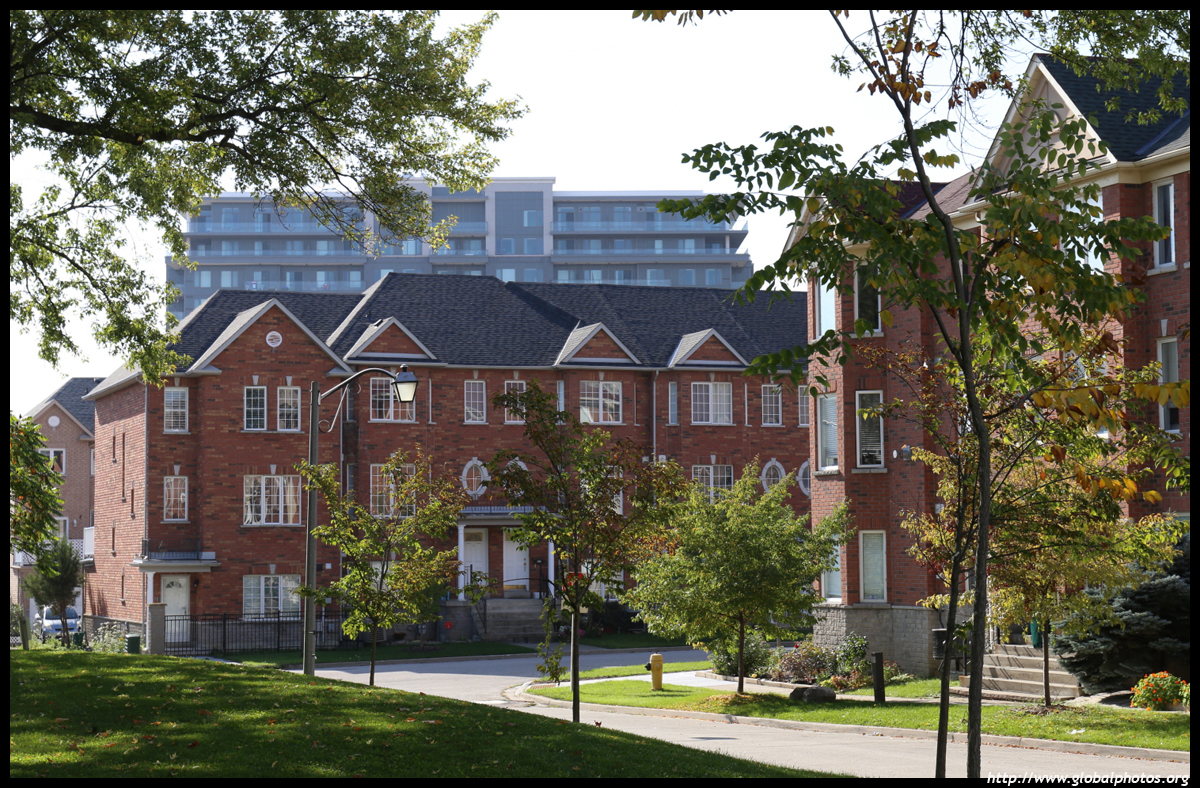
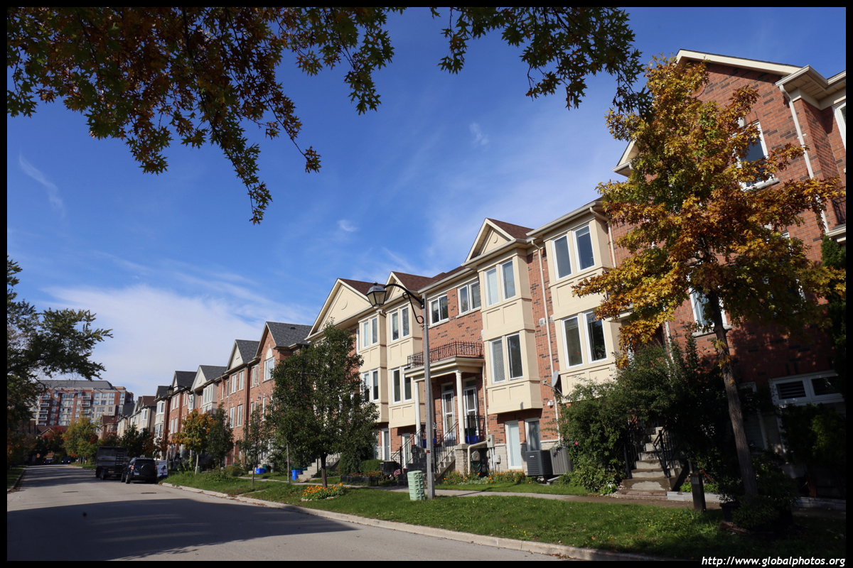
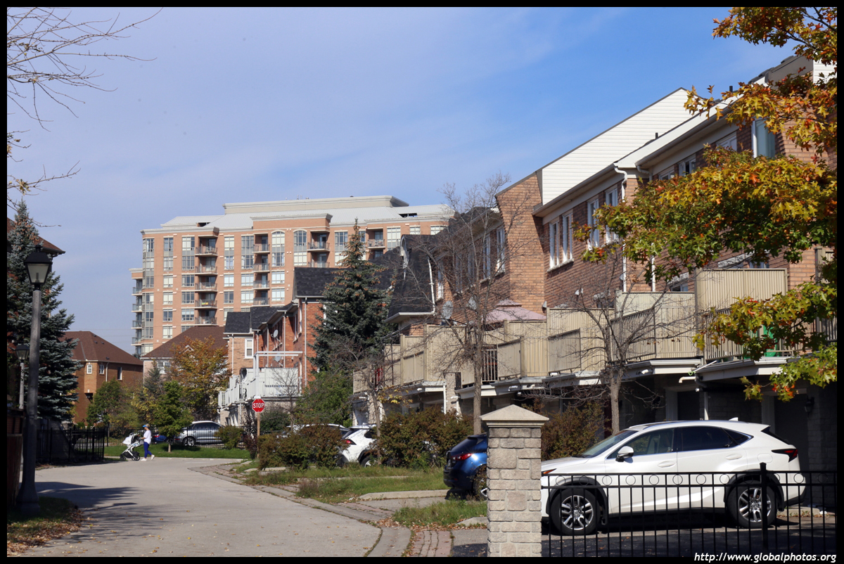
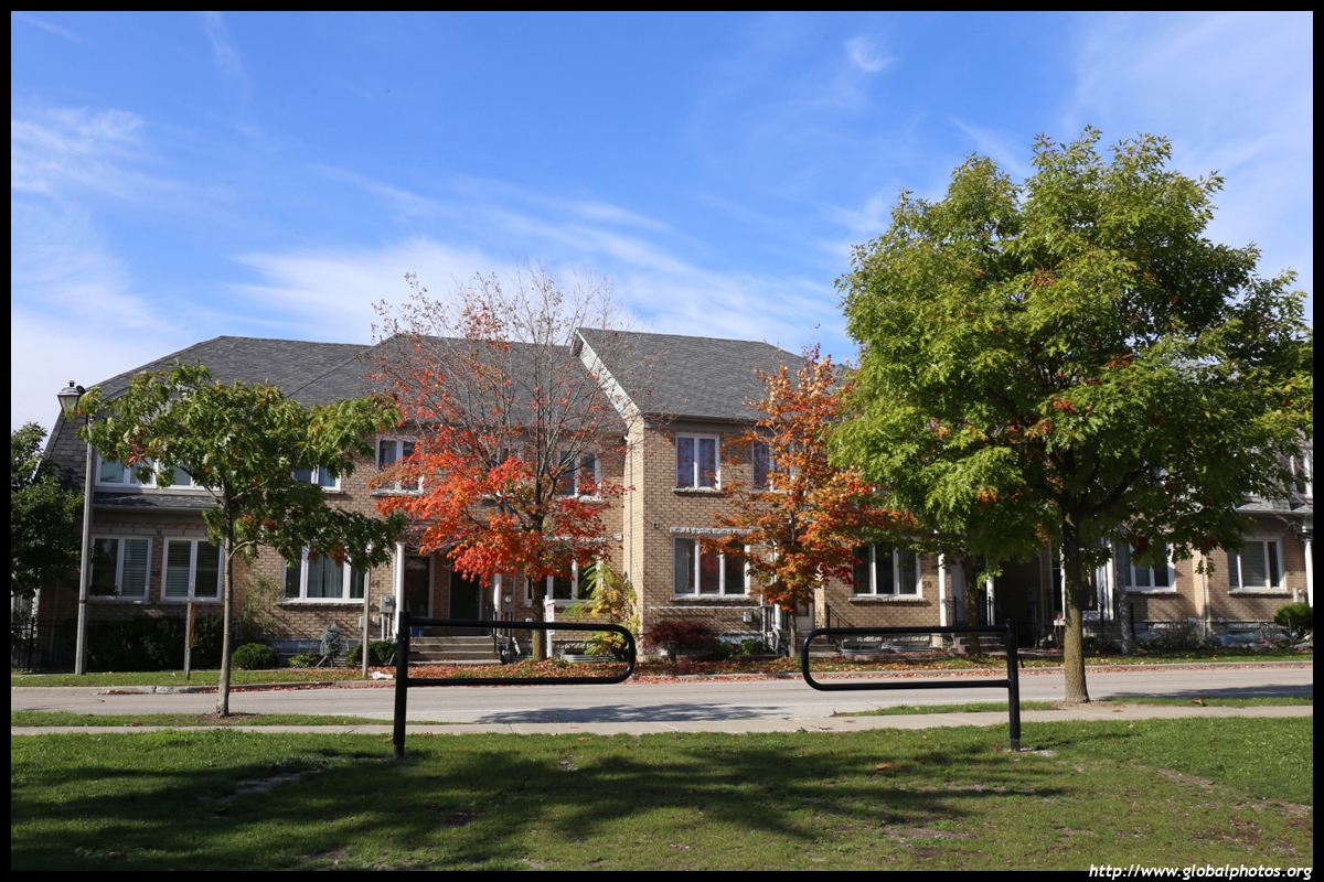
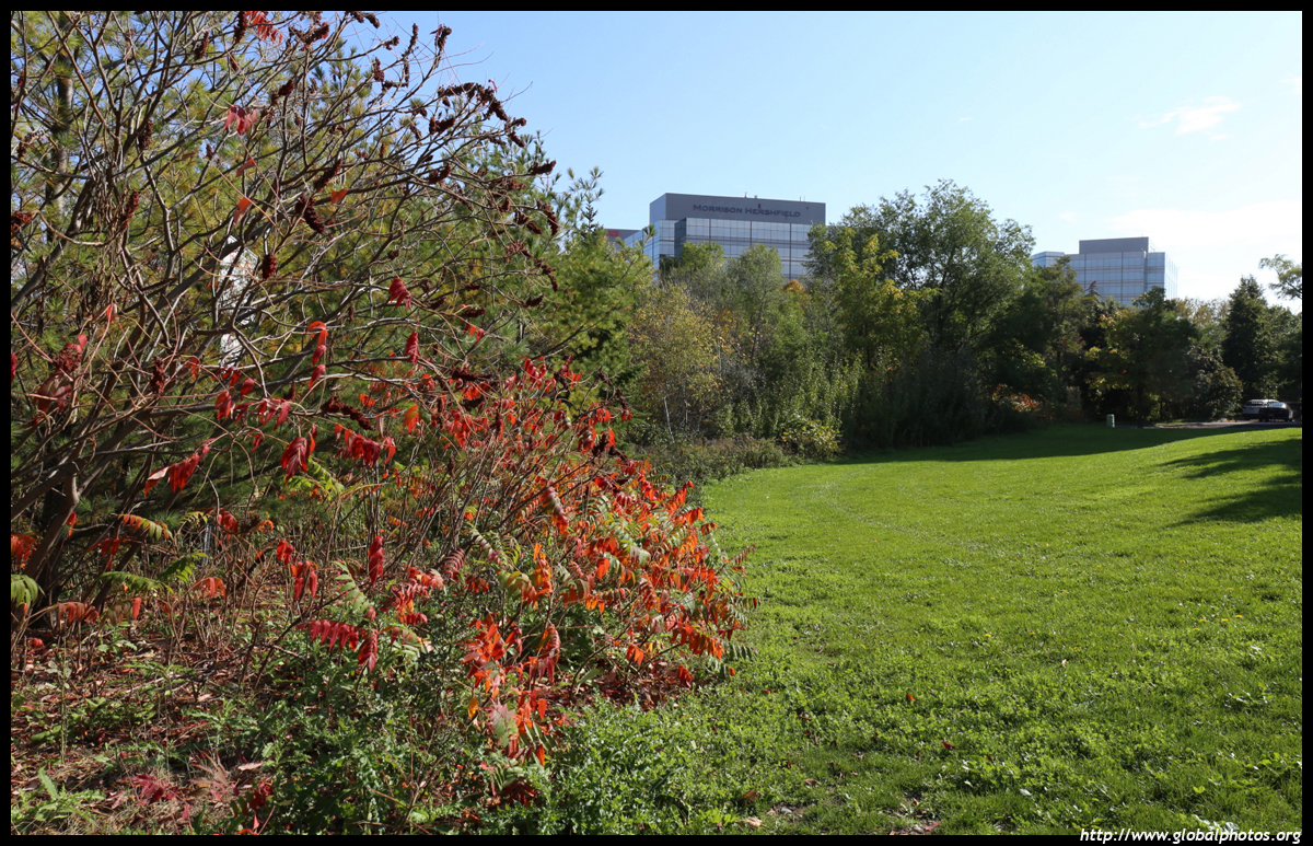
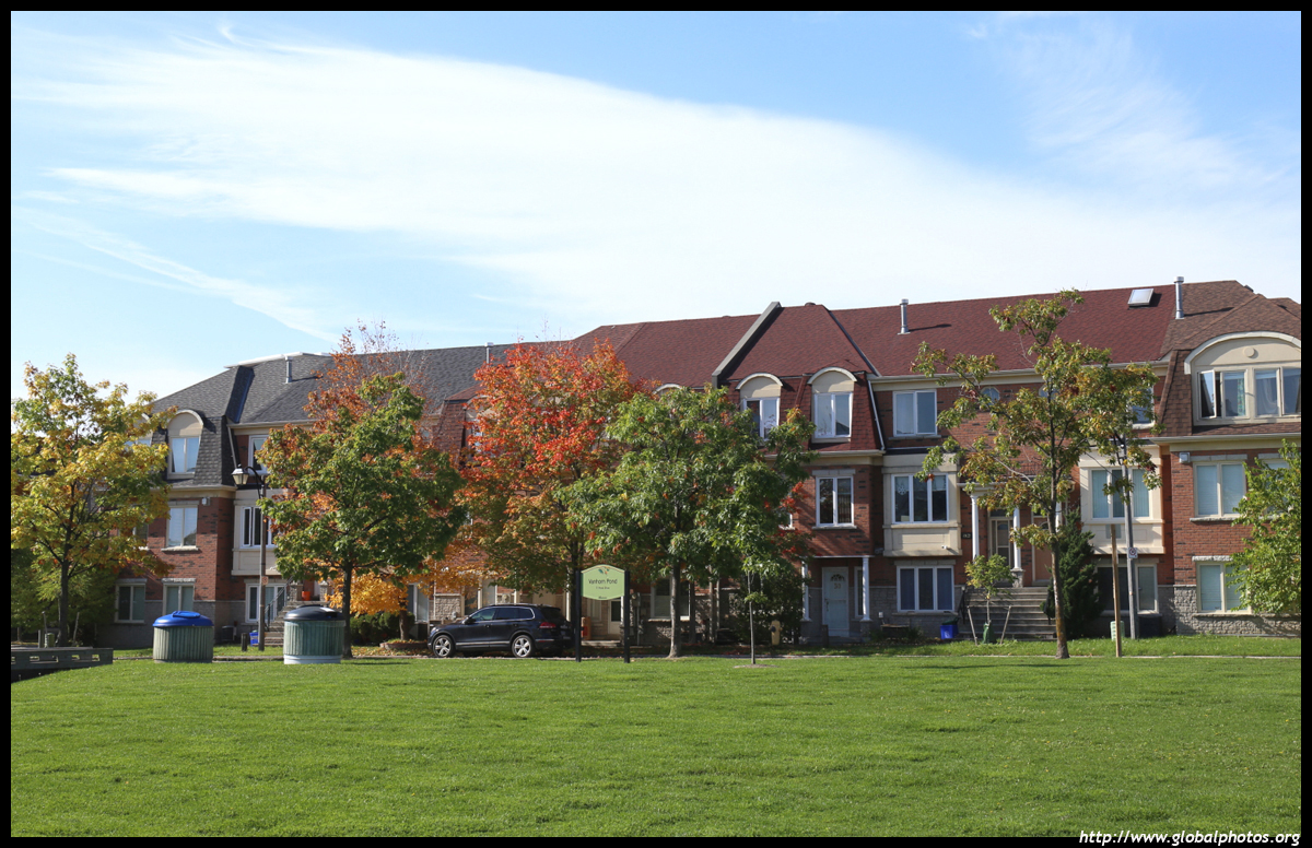
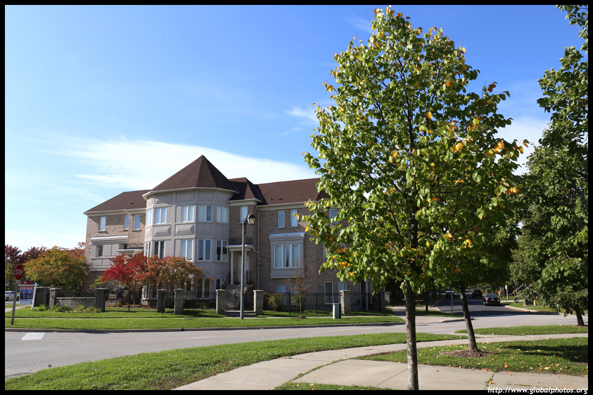
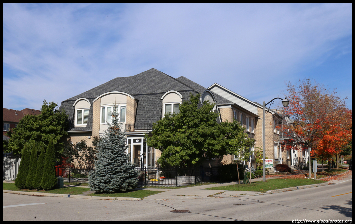
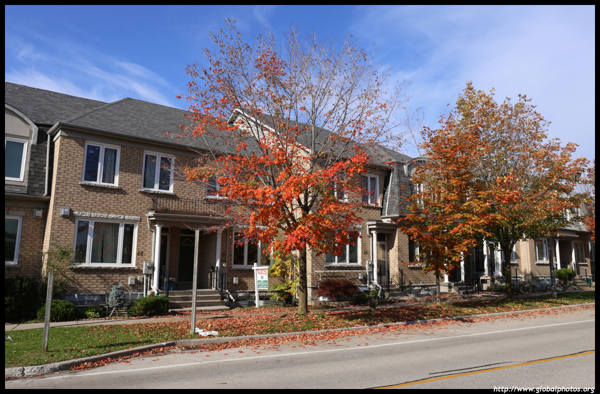
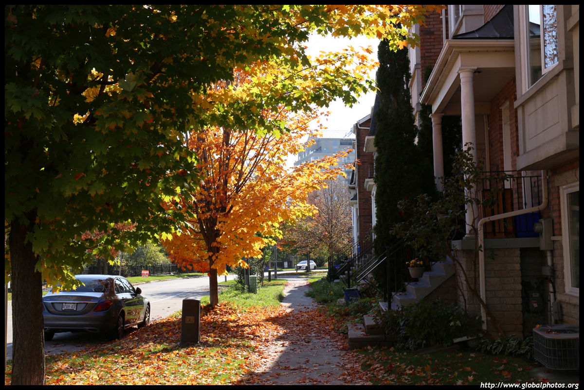
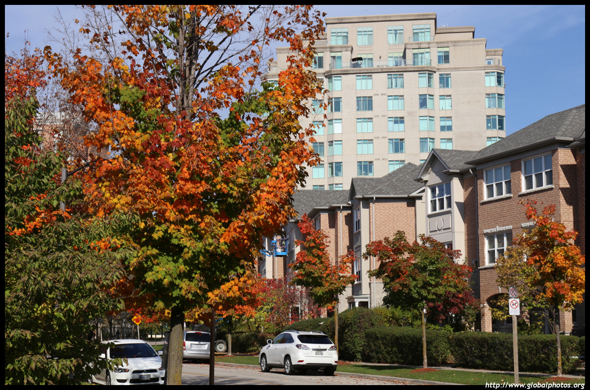
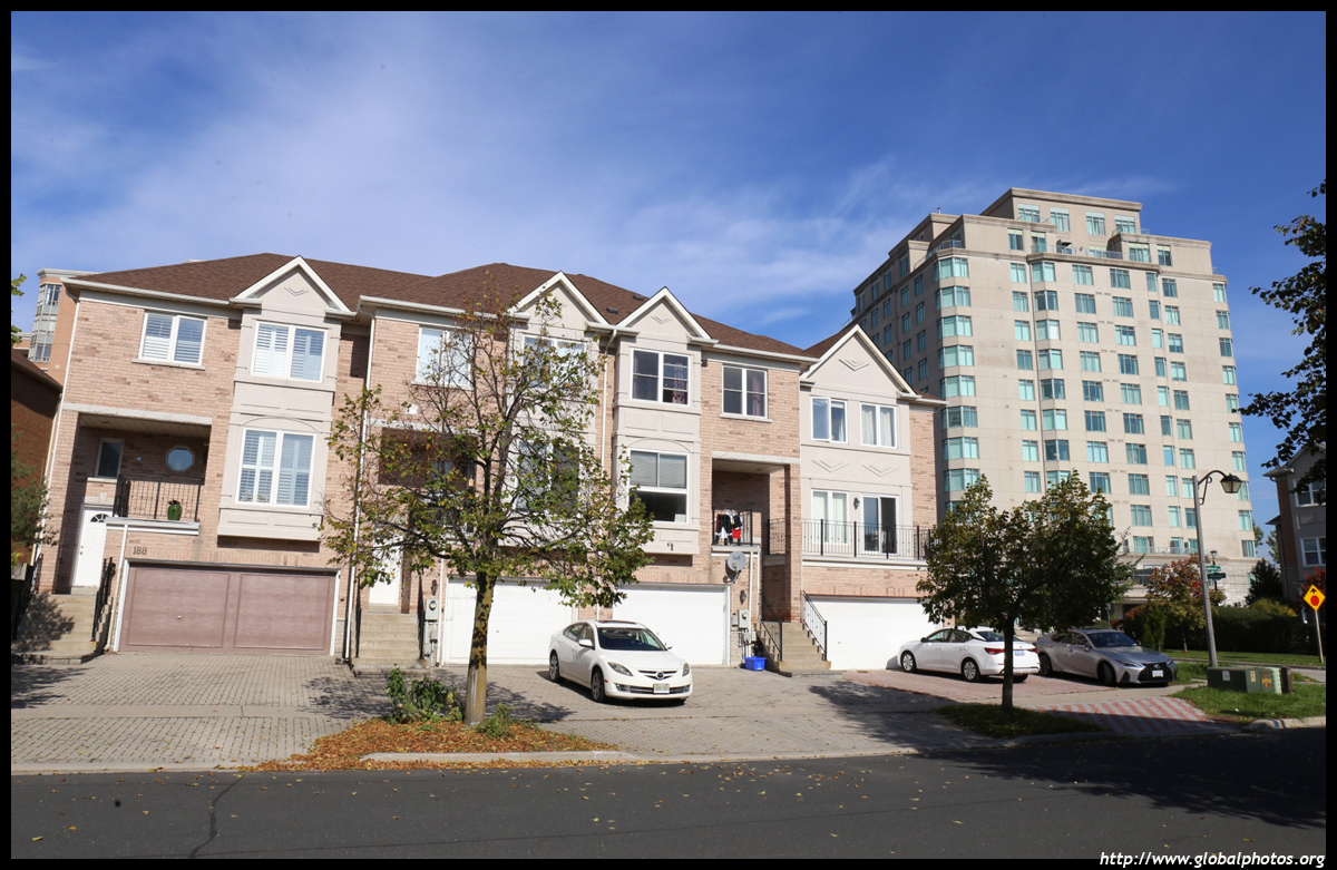
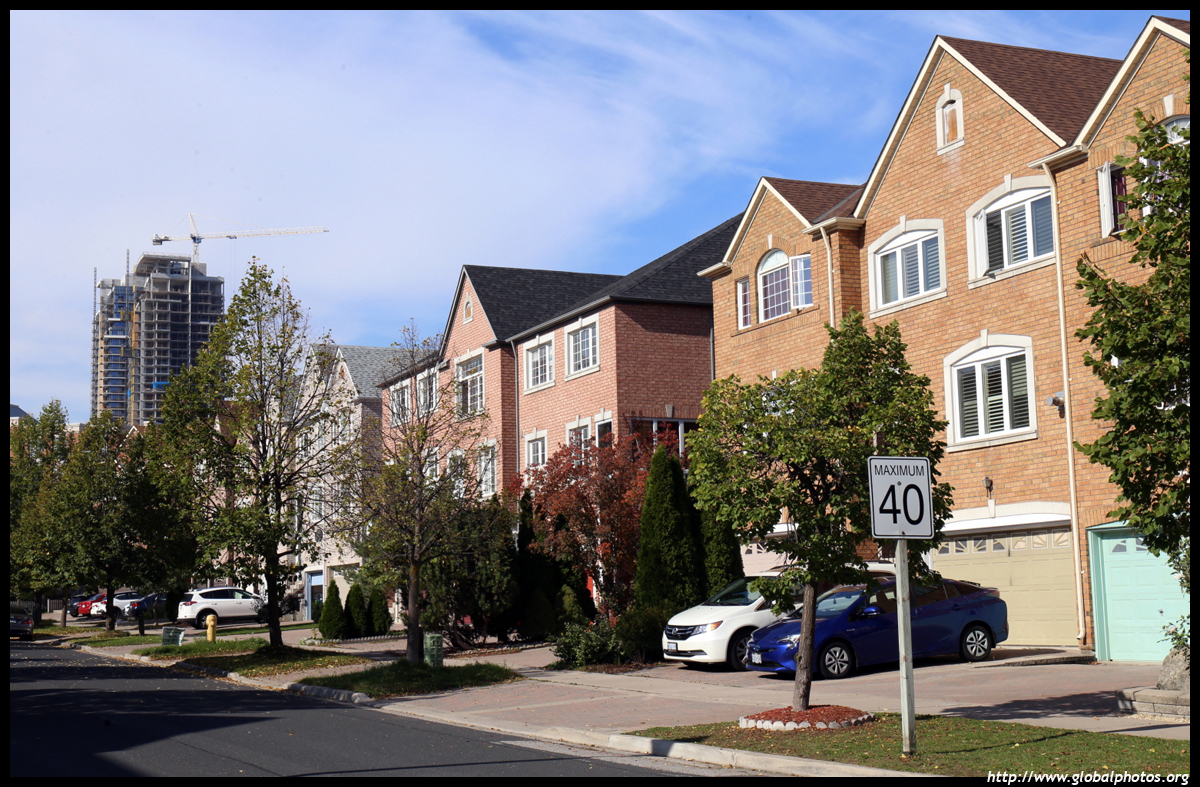
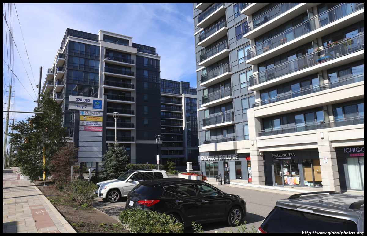
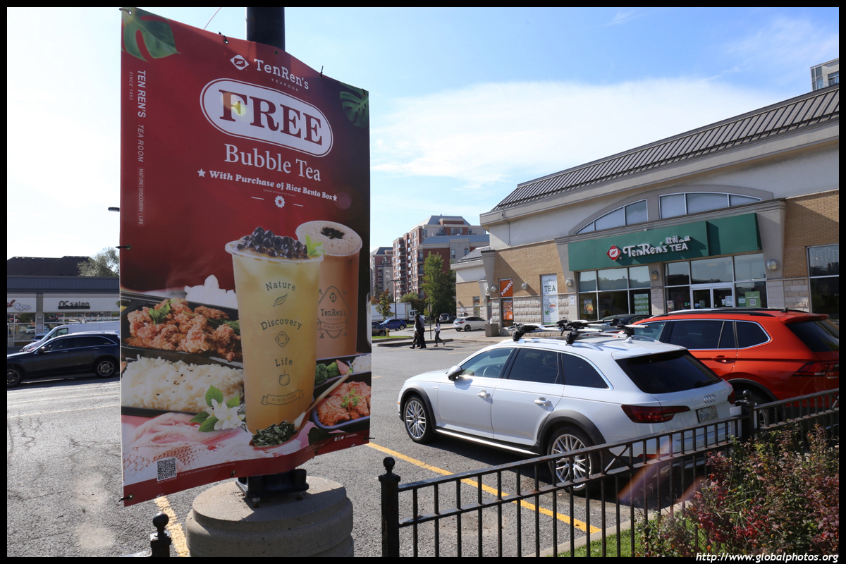
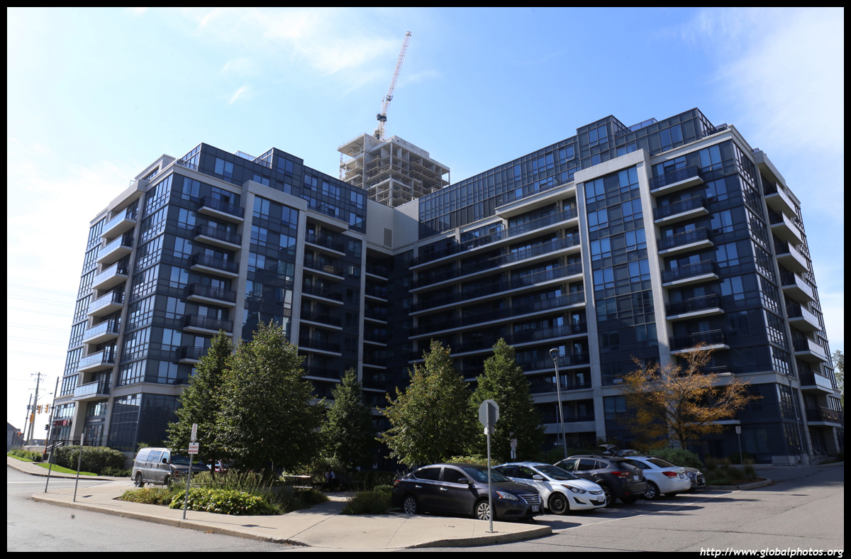
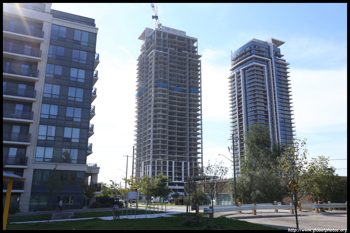
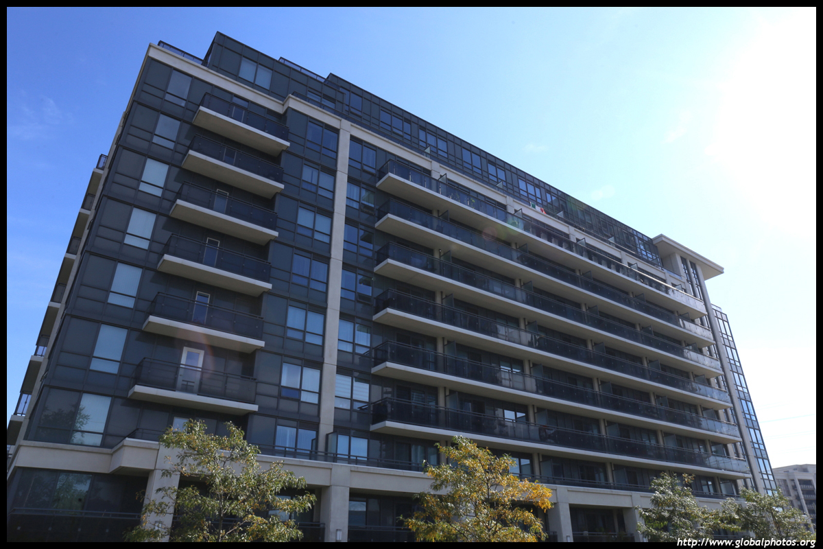
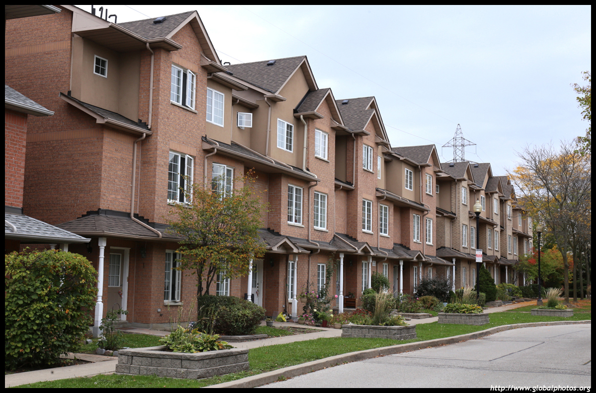
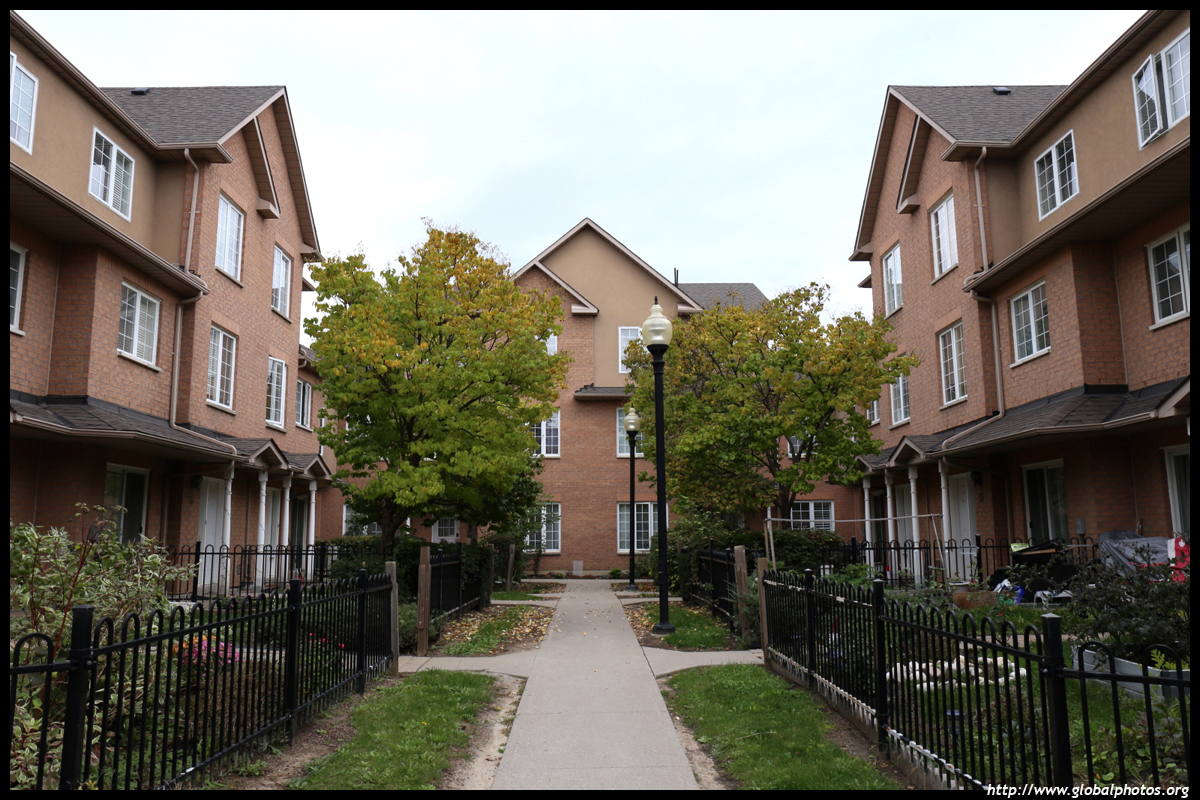
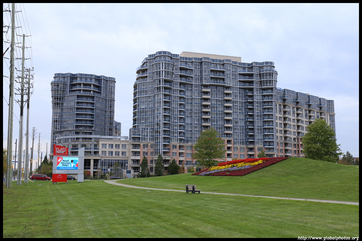
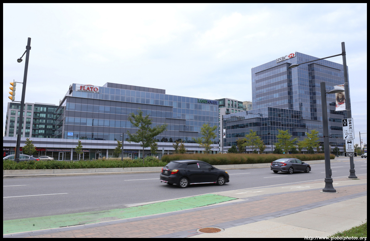
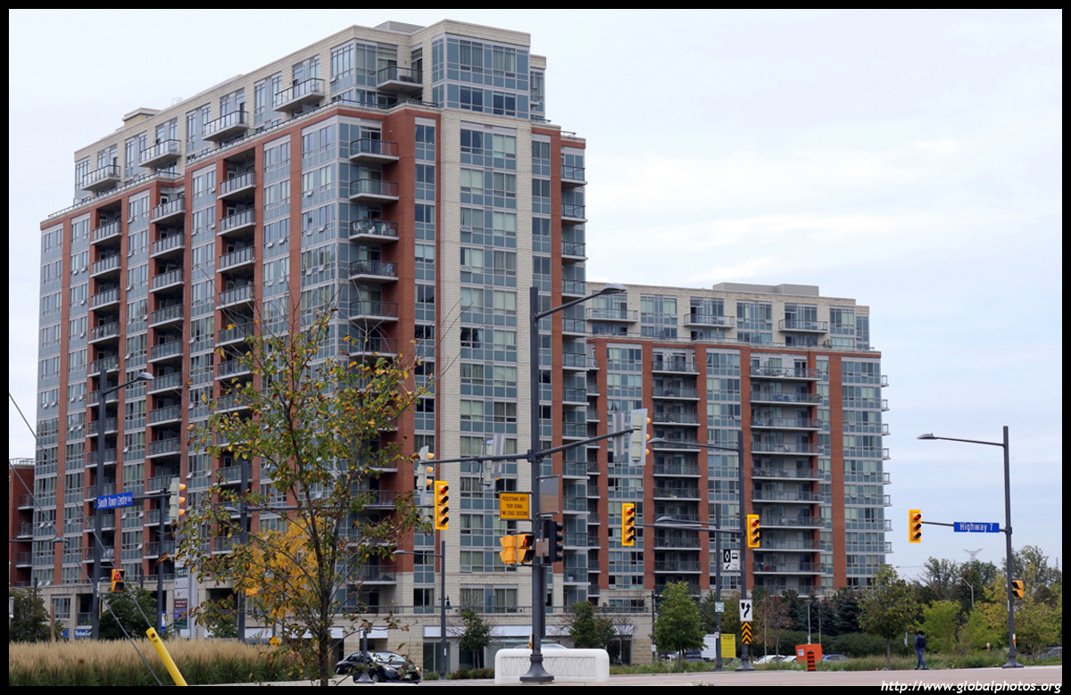
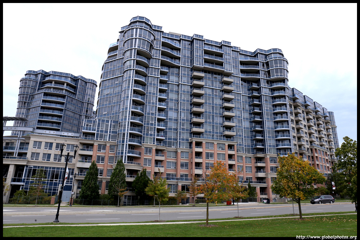
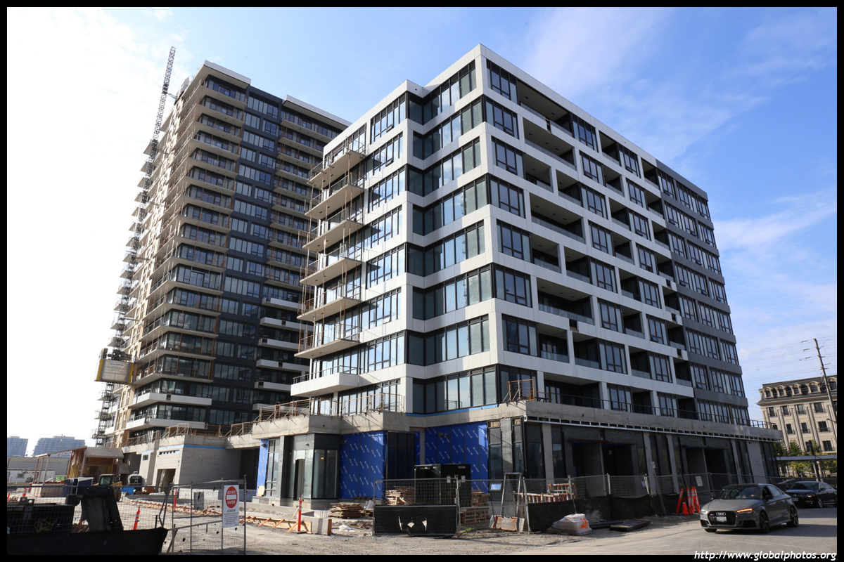
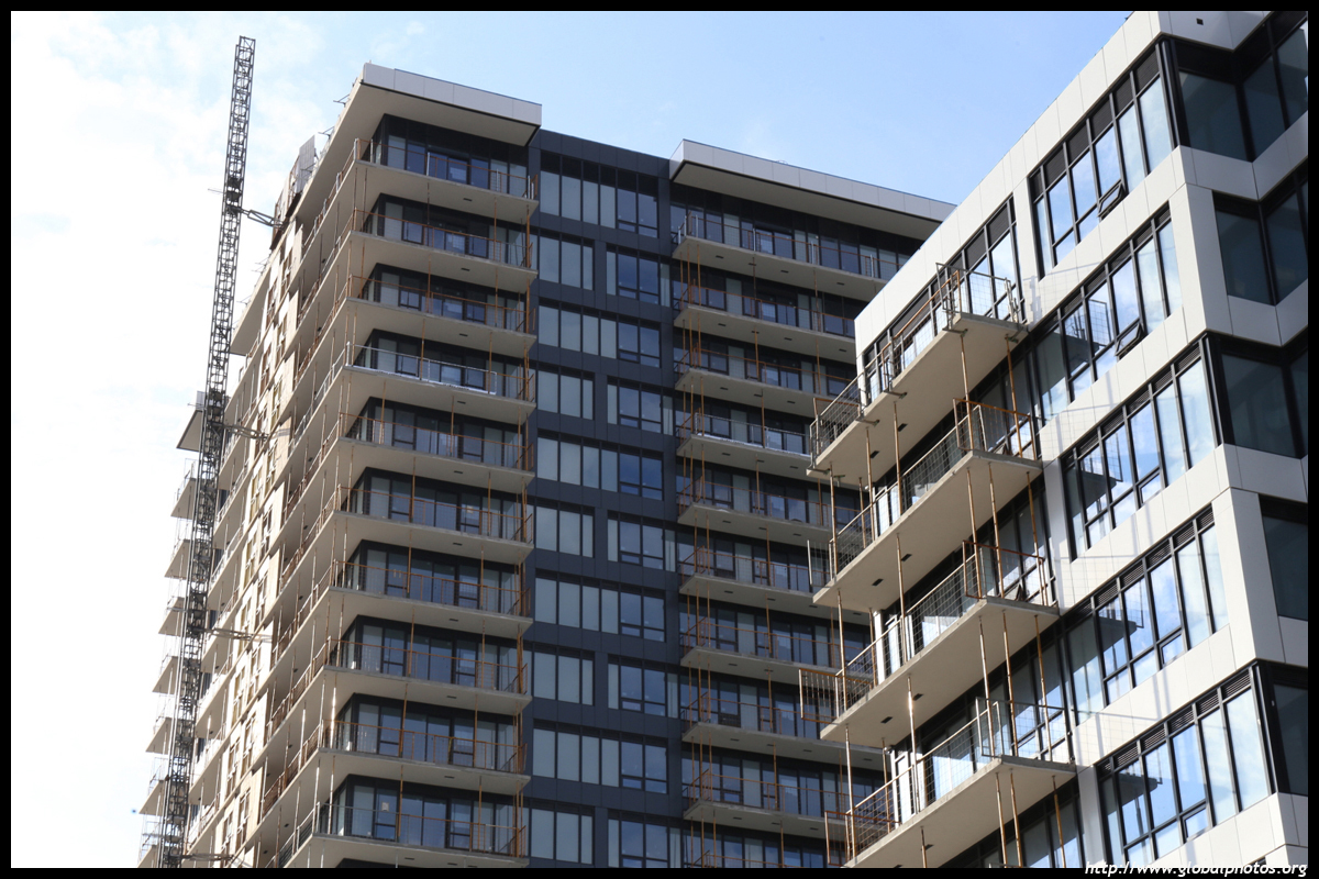
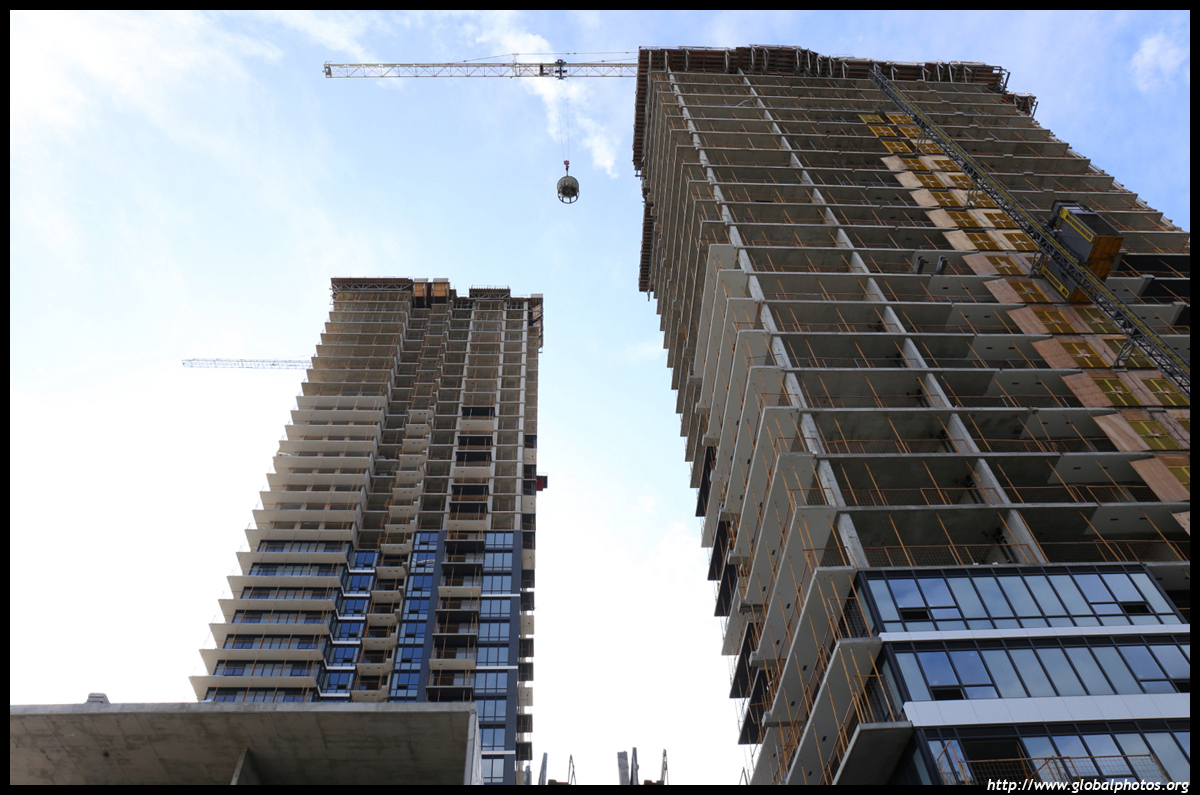
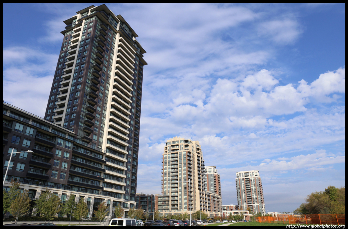
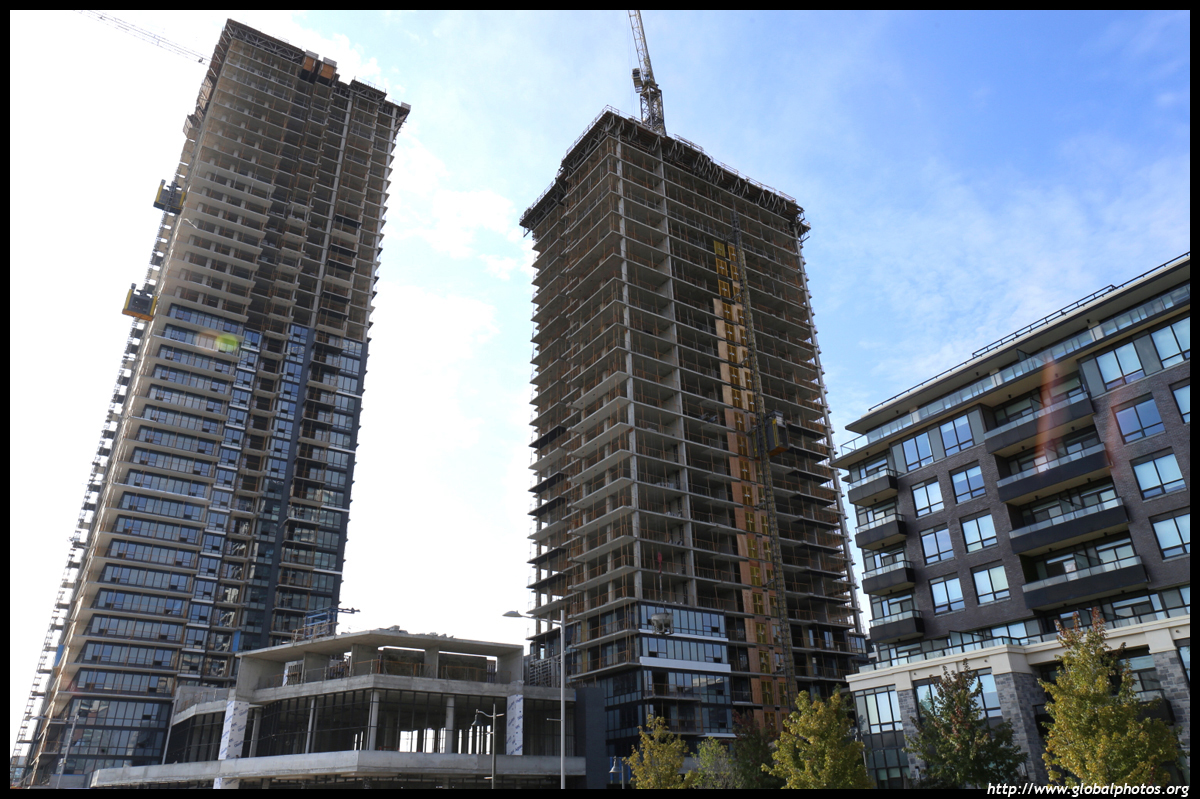
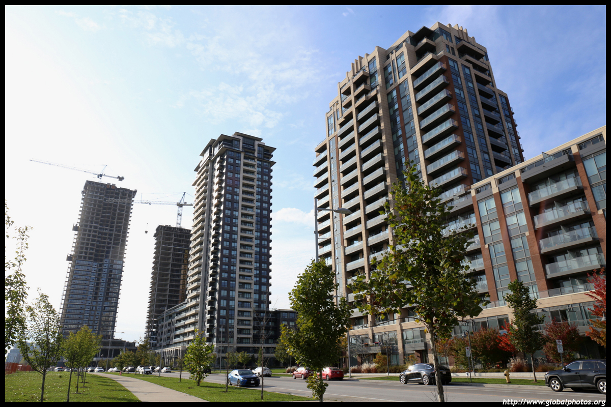
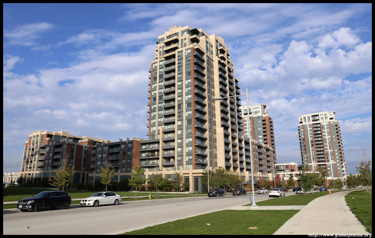
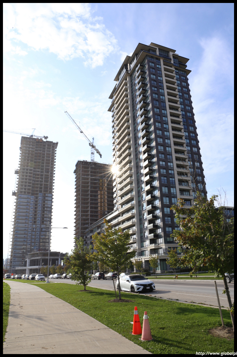
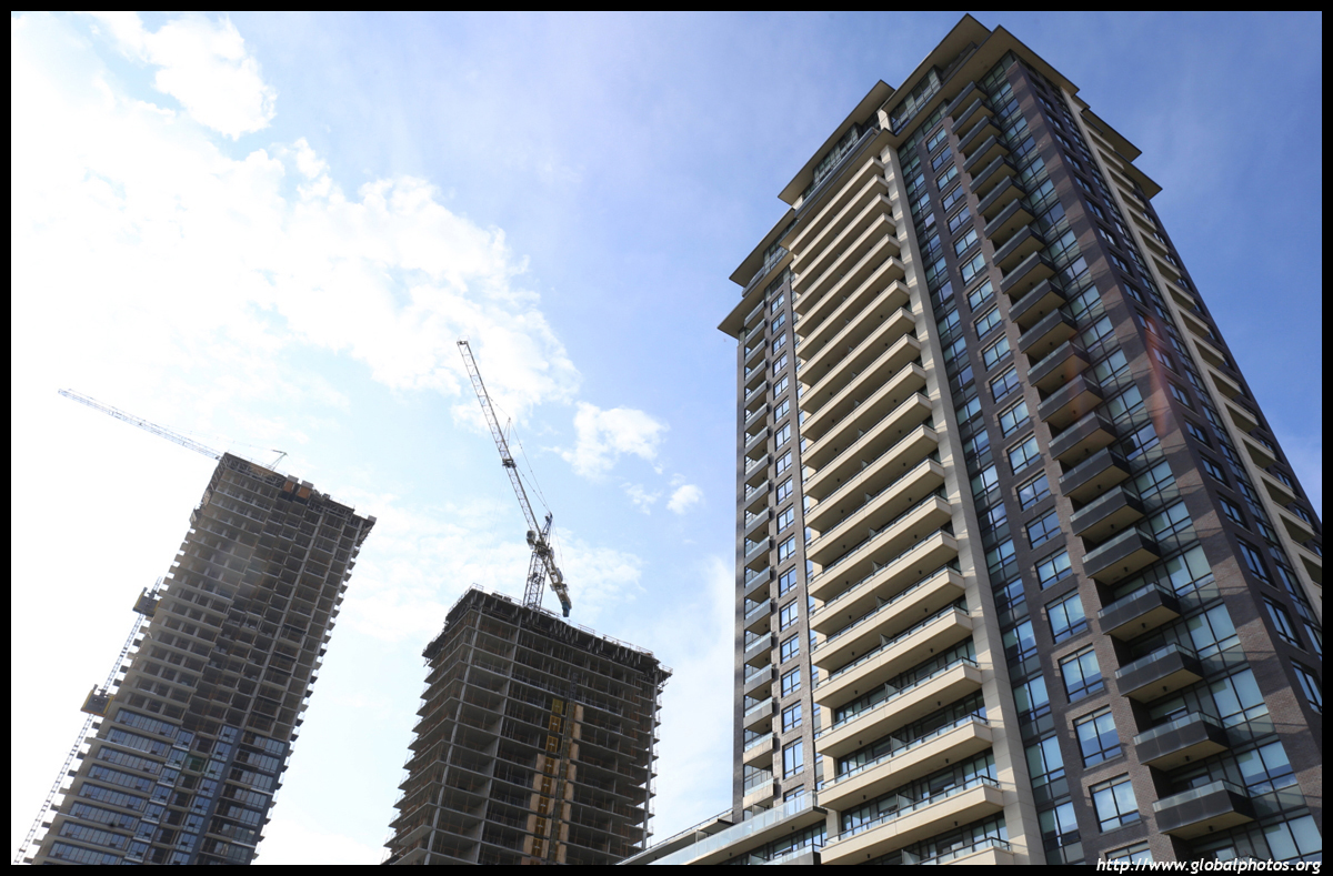
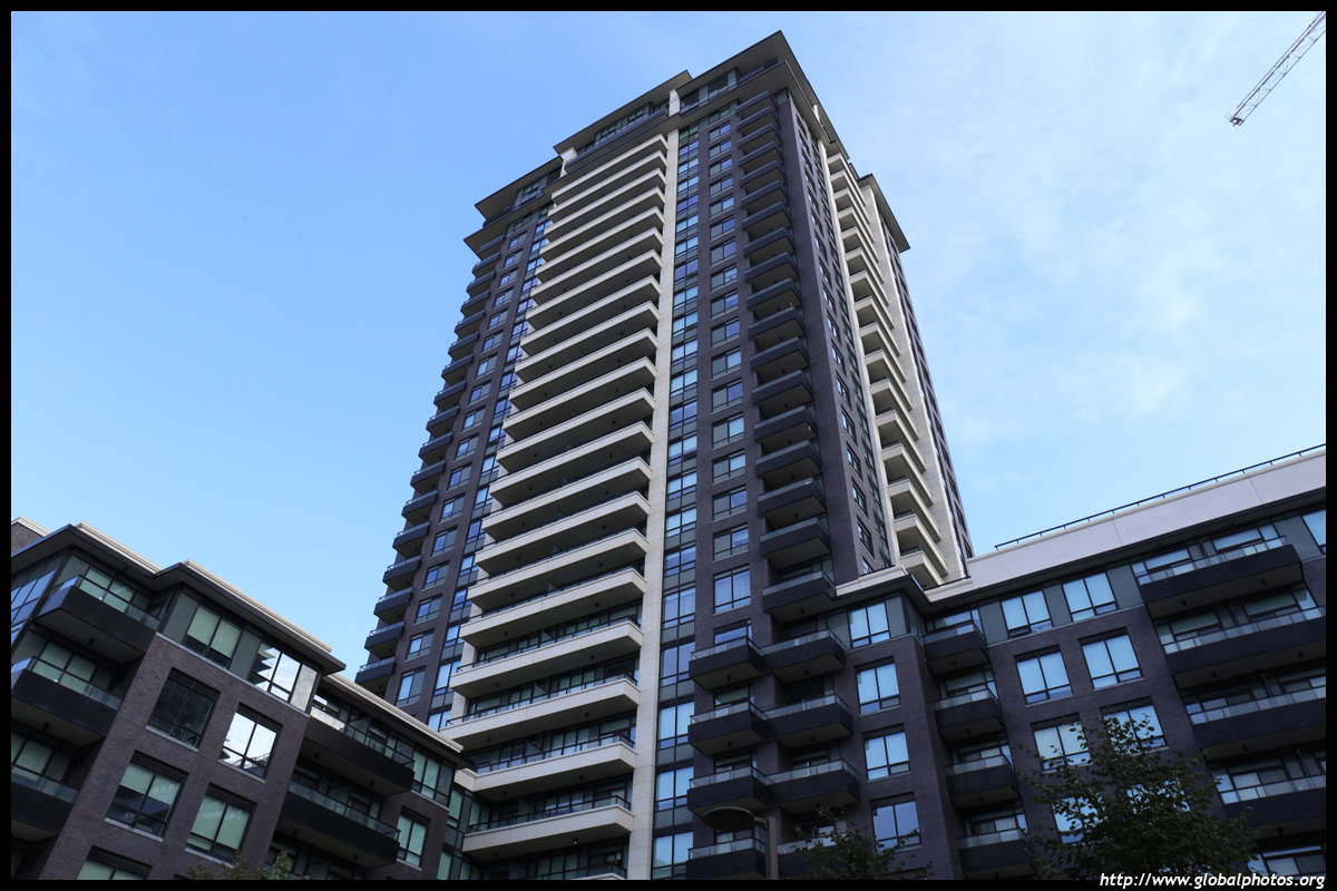
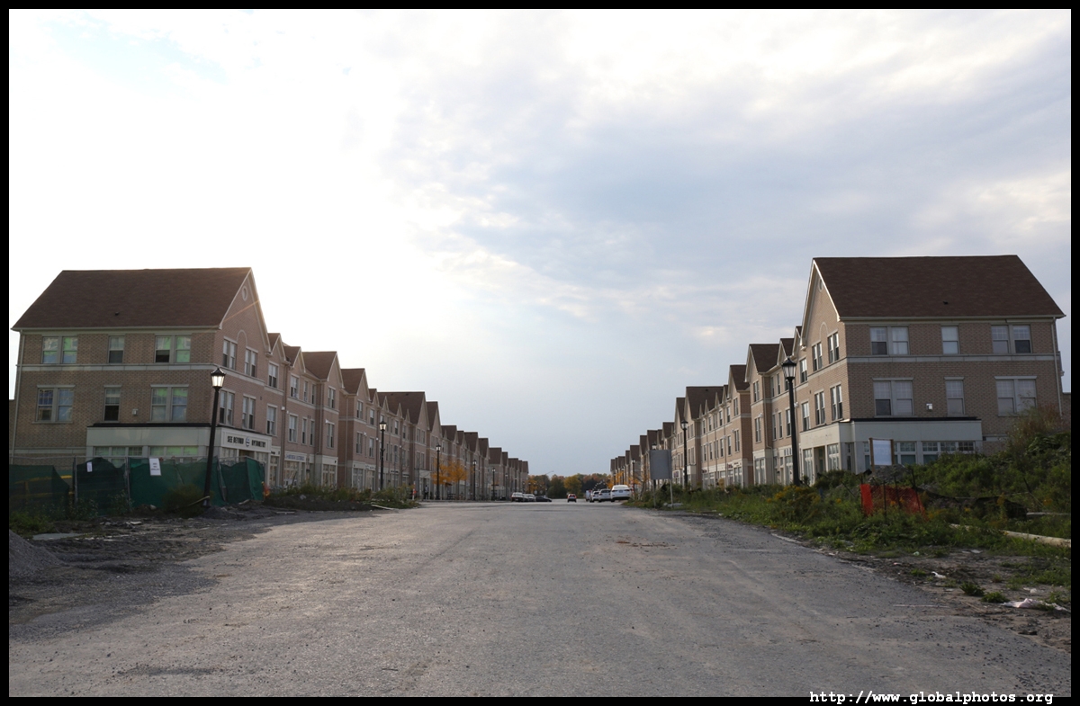
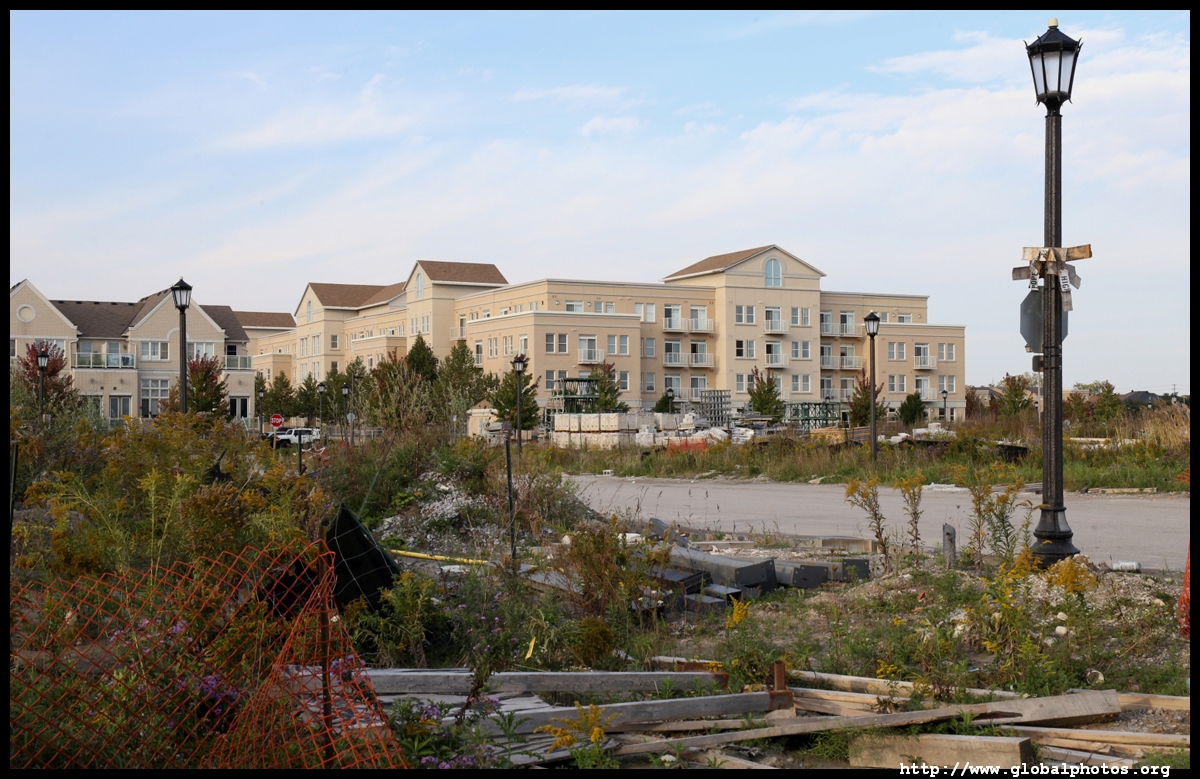
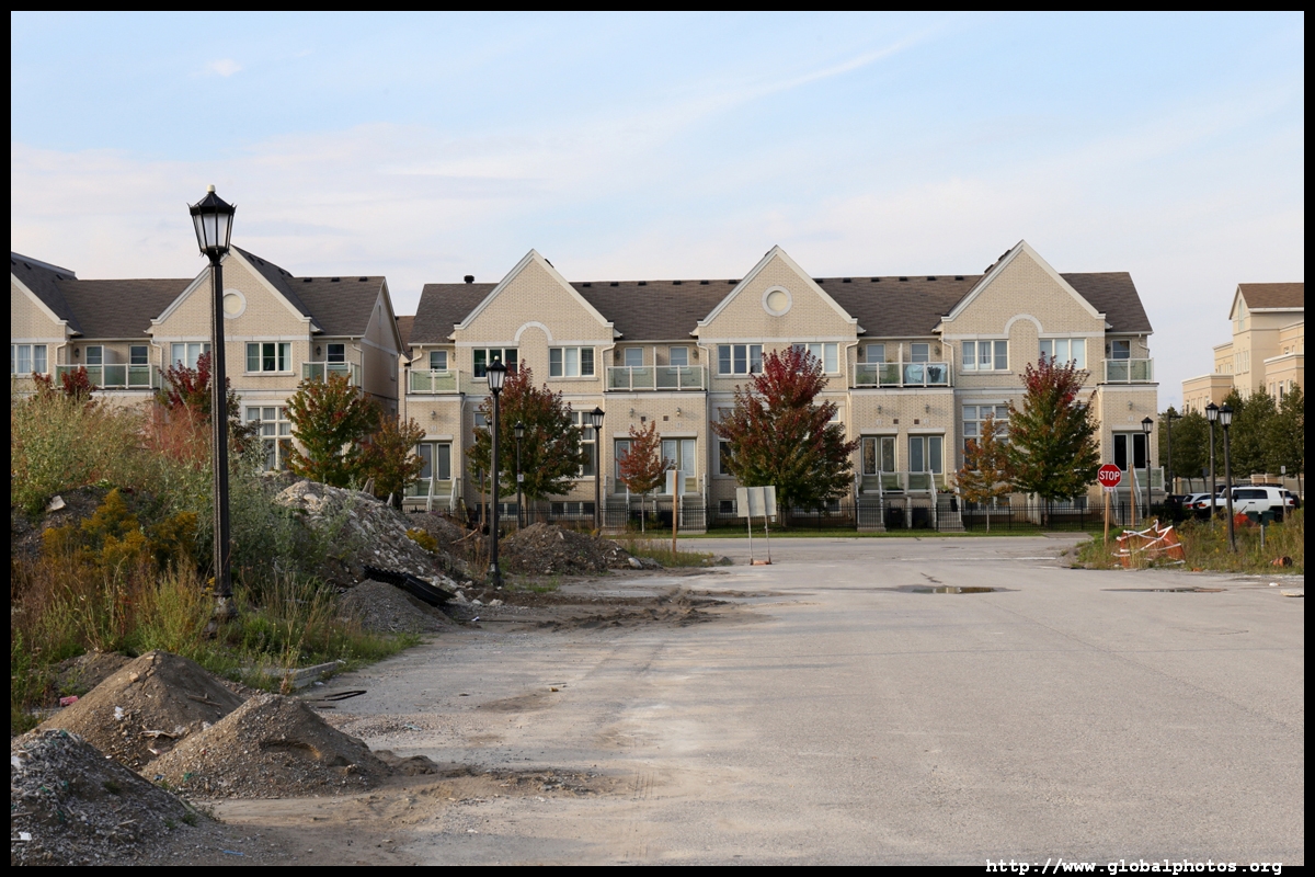
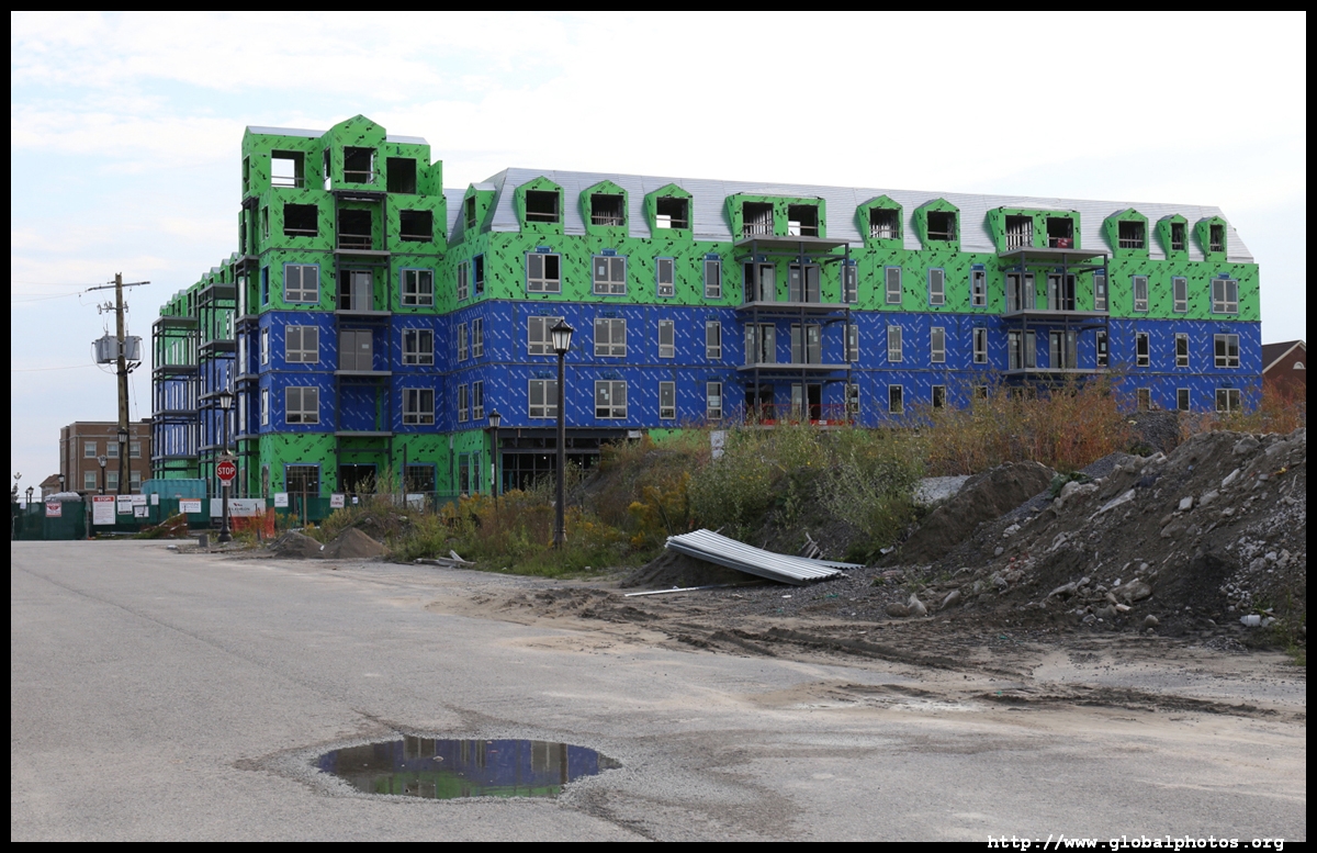
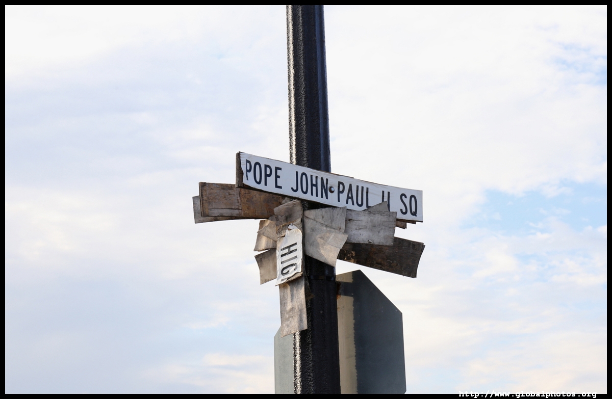
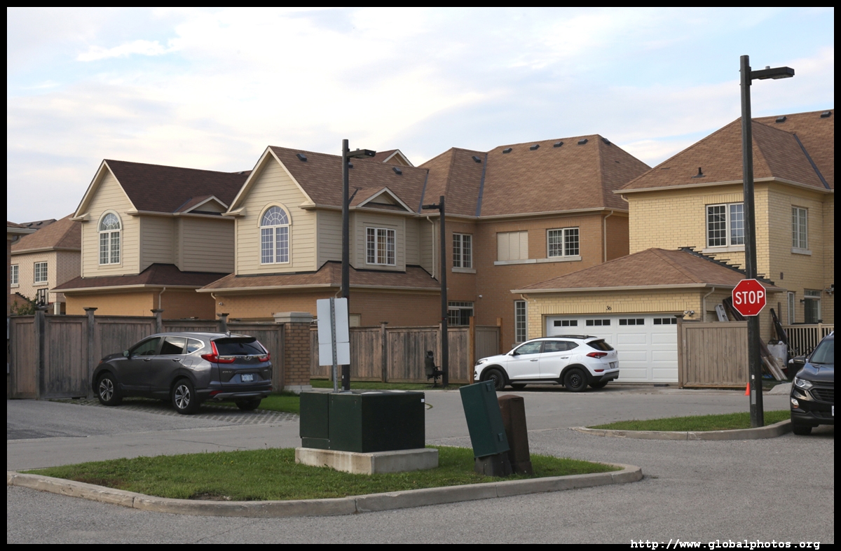
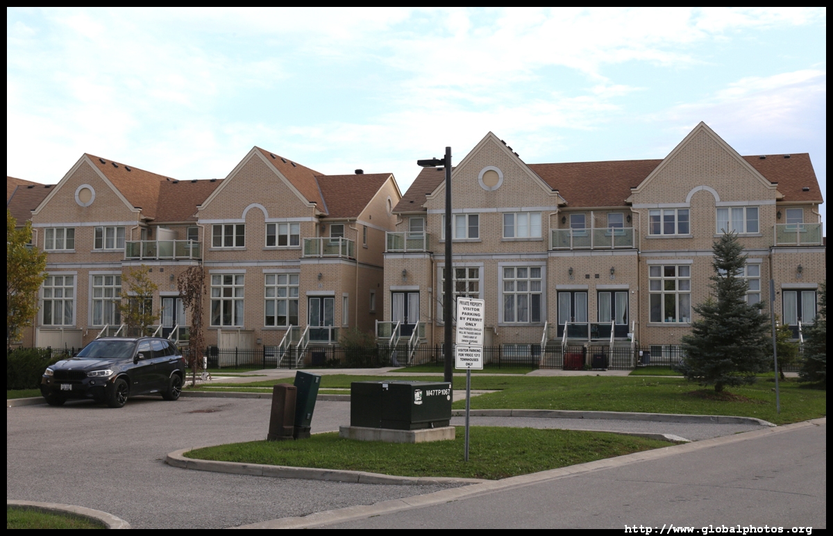
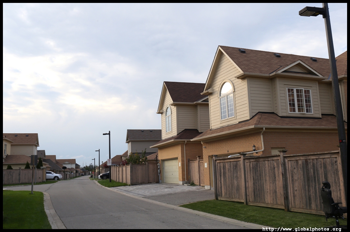
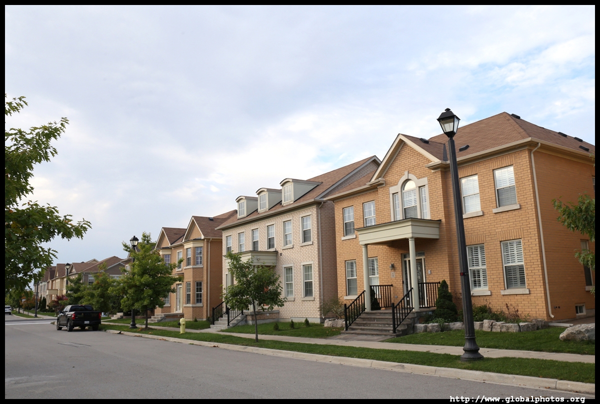
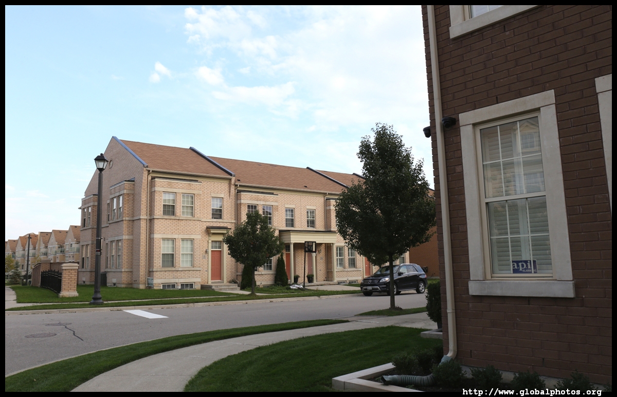
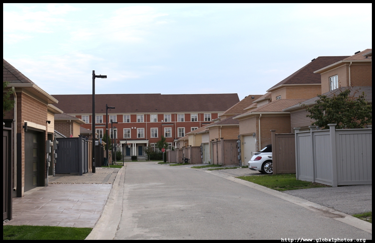
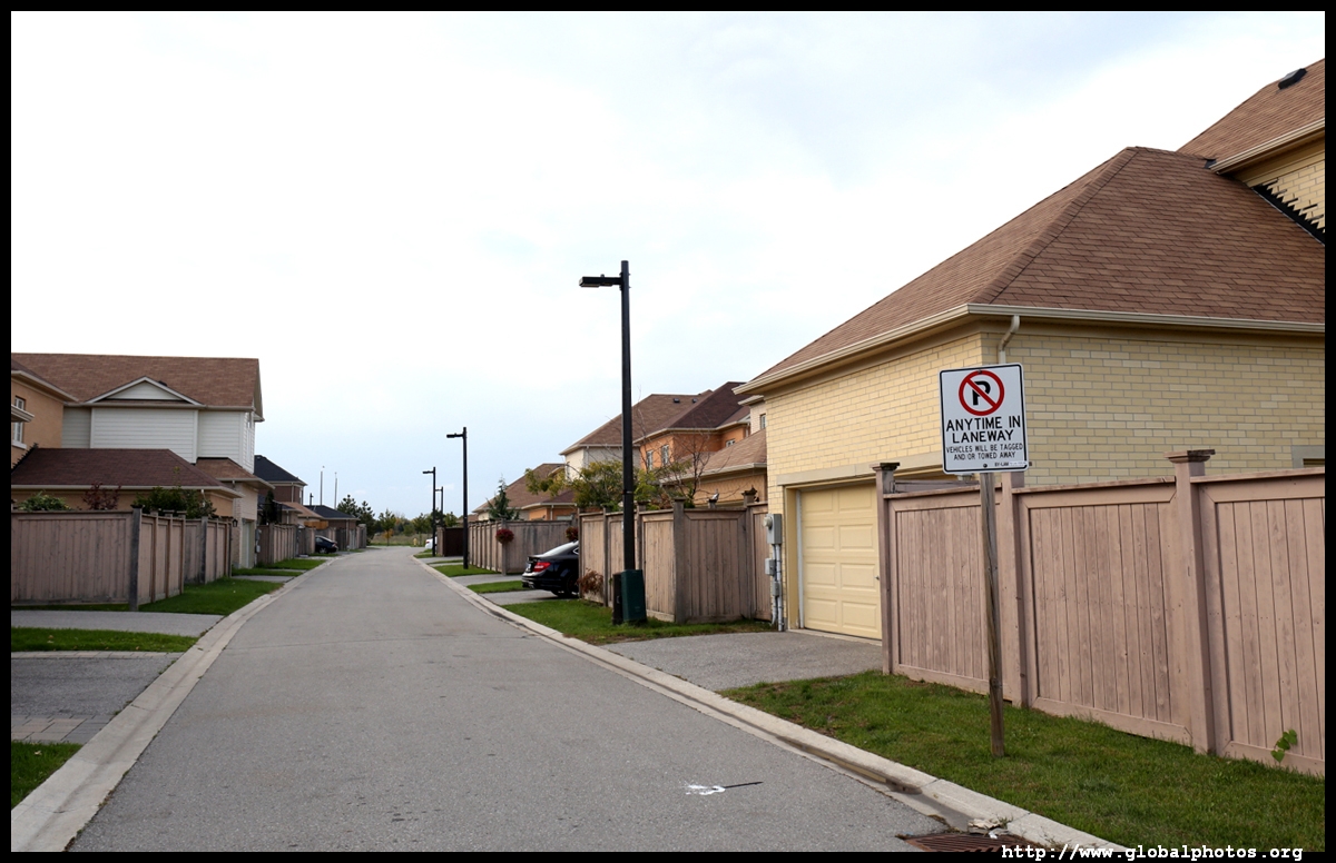
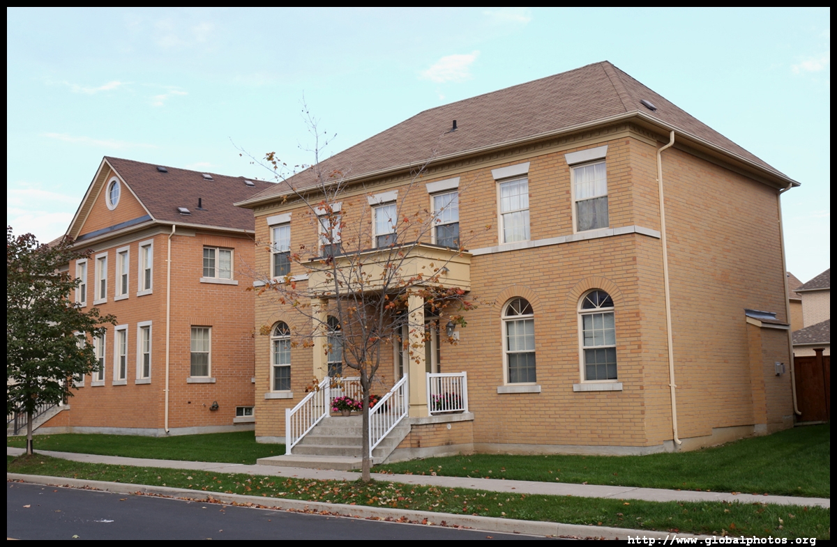
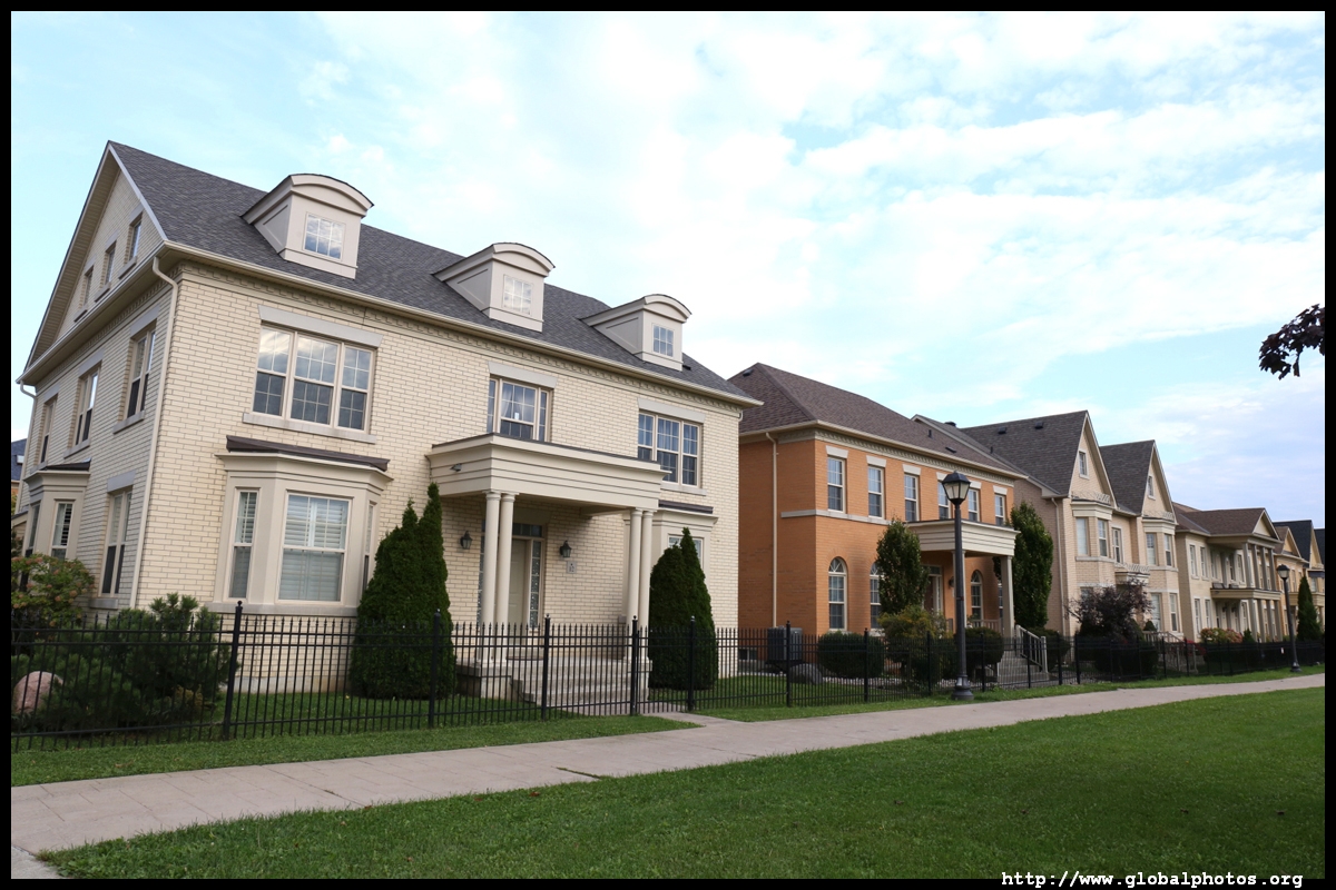
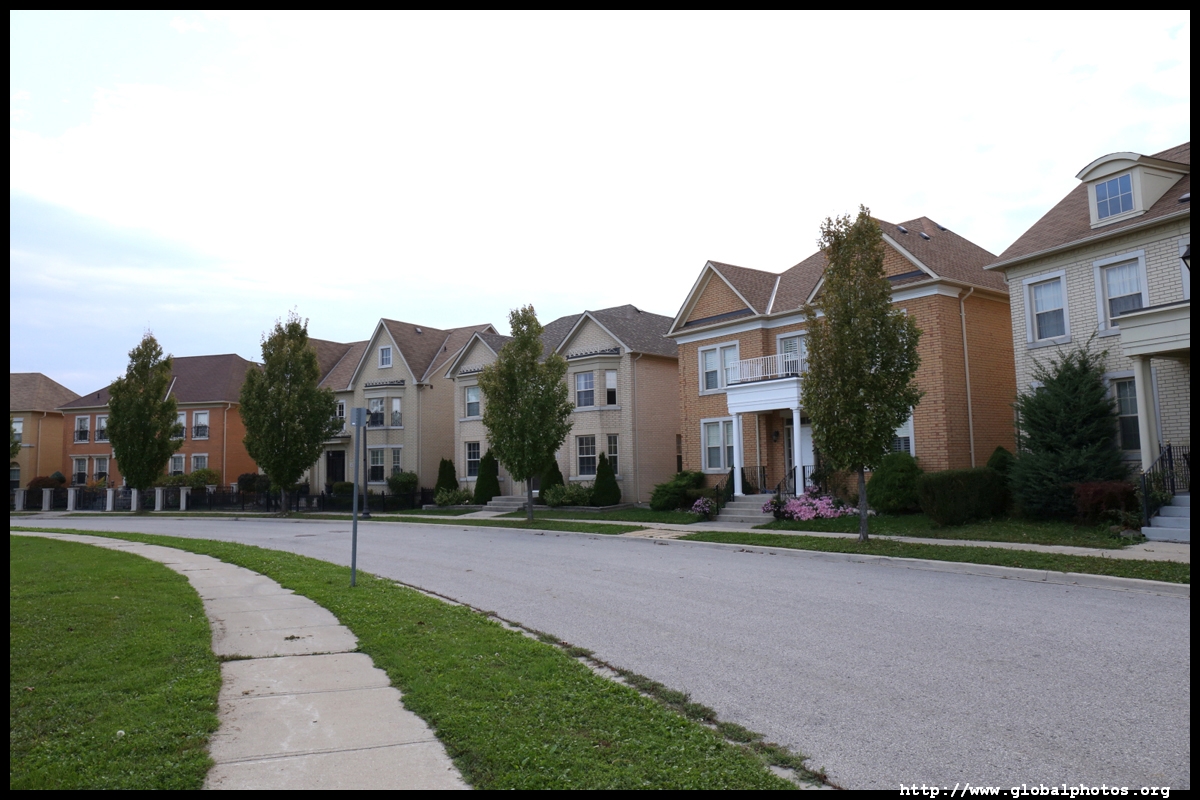
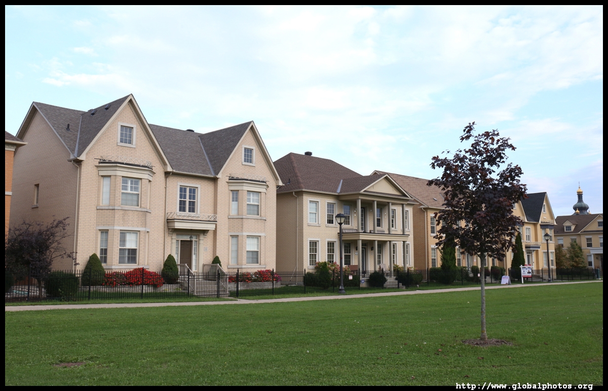
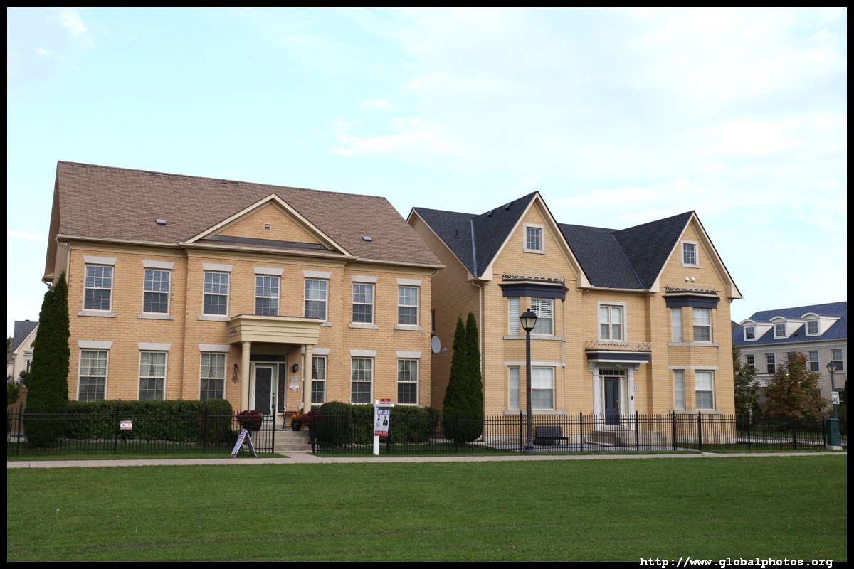
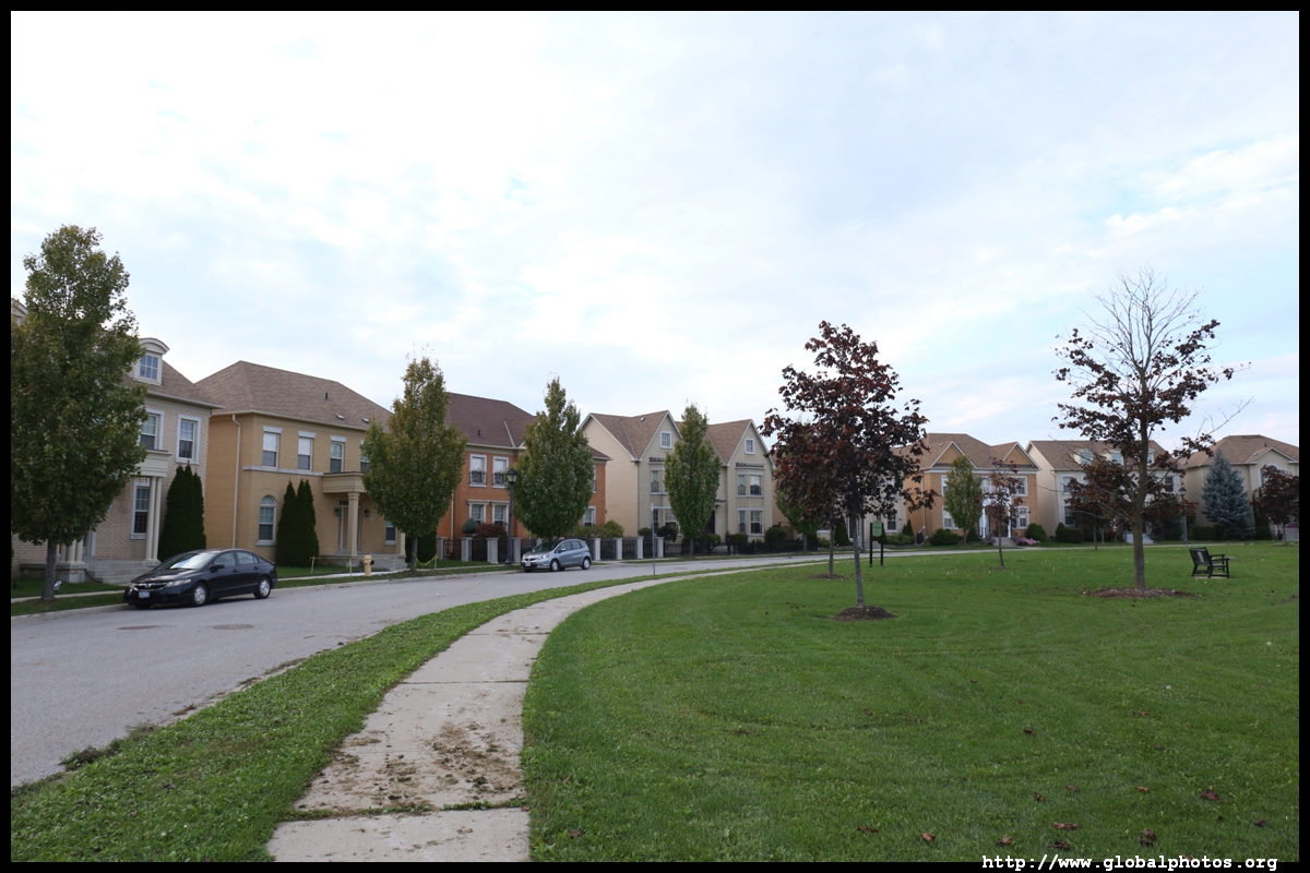
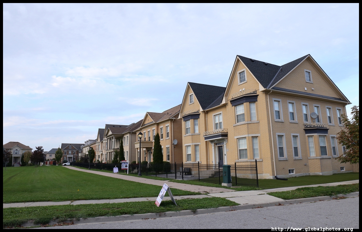
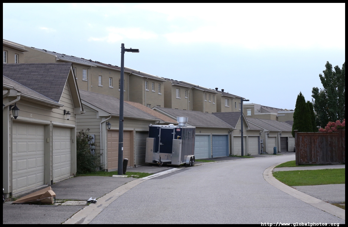
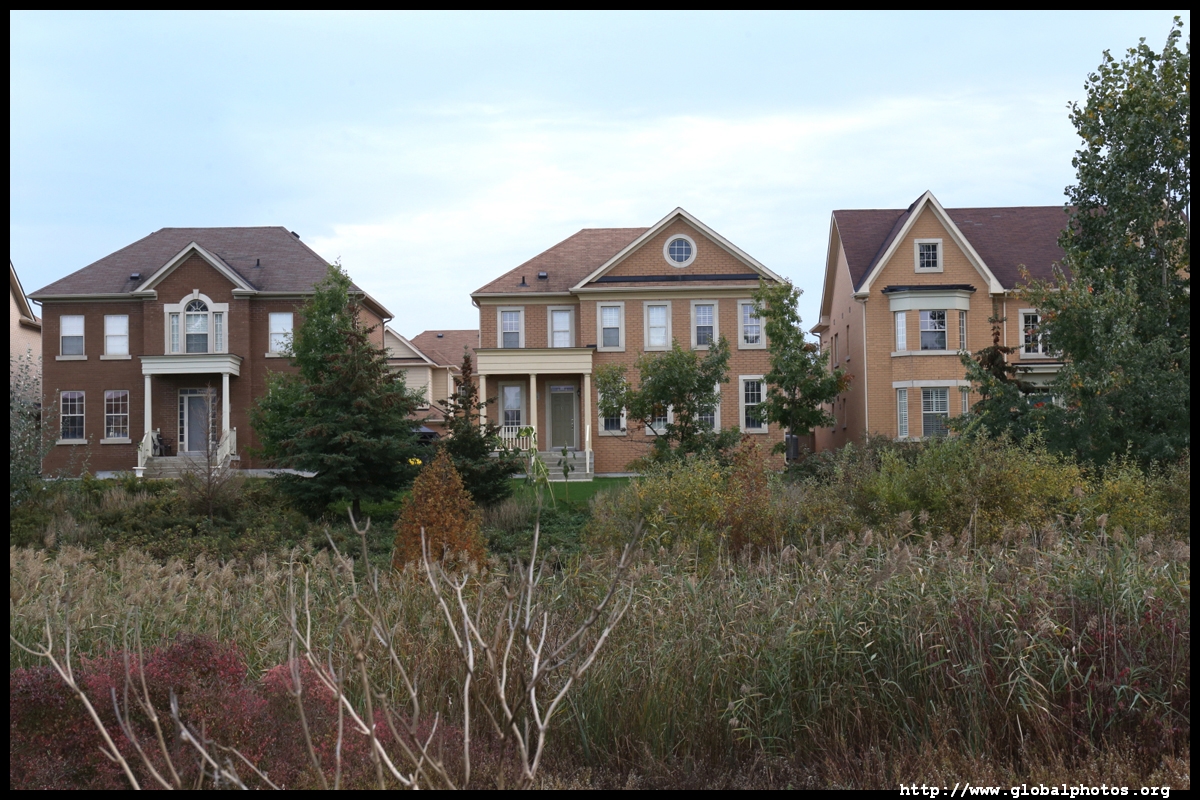
Located north of Toronto, York Region was created in 1971 as a municipal government to replace York County. Since then, several highways and the subway were constructed into the municipality, which includes the large suburbs of Vaughan, Richmond Hill, Markham, Aurora, and Newmarket.The first Europeans to arrive in Markham were Germans who came from the United States in the late 18th century. Named after the Archbishop of York, the town's beginnings revolved around agriculture, with the many streams supporting various mills. It is now a major suburb spanning over 210 square kilometres and is home to over 328,000 people. It has a diverse visible minority population with a large Chinese community of over 121,000. Trying to shed away the typical suburb's image of lowrise sprawl, many highrise projects are being developed along the Highway 7 corridor, the major east-west road. Between Bayview and Leslie, a piece of land edged against the noisy Highway 407 has been transformed into a community of mixed densities.
| |||
 |
 |
 |
 |
 |
 |
 |
 |
 |
 |
 |
 |
 |
 |
 |
 |
 |
 |
 |
 |
 |
 |
 |
 |
 |
 |
 |
 |
 |
 |
 |
 |
 |
 |
 |
 |
 |
 |
 |
 |
 |
 |
 |
 |
 |
 |
 |
 |
 |
 |
 |
 |
 |
 |
 |
 |
 |
 |
 |
 |
 |
 |
 |
 |
 |
 |
 |
 |
 |
 |
 |
|
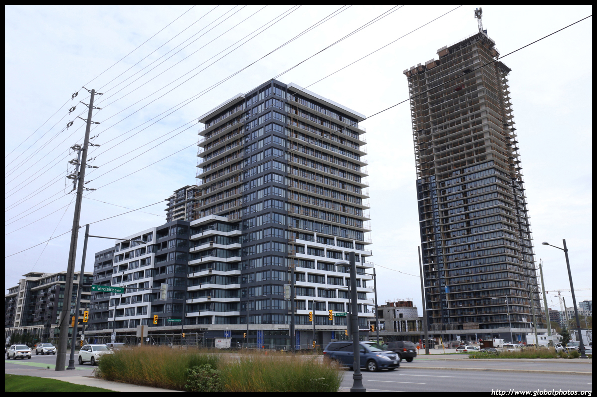
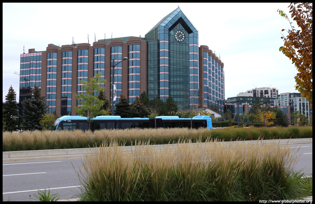
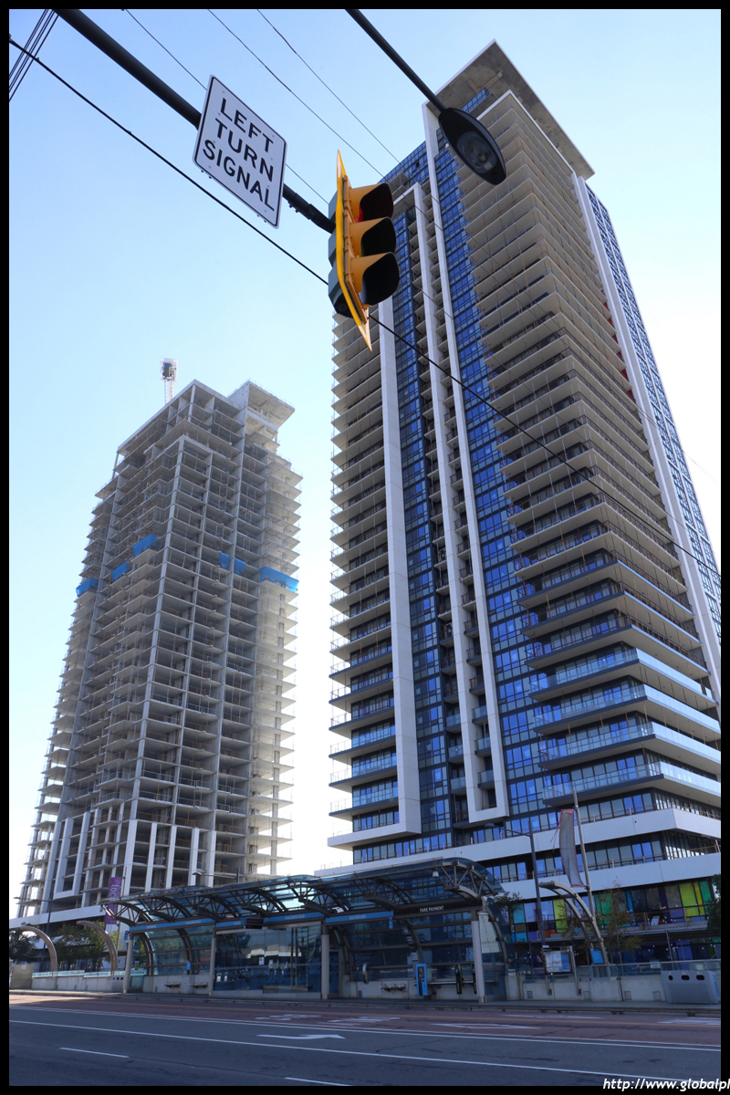
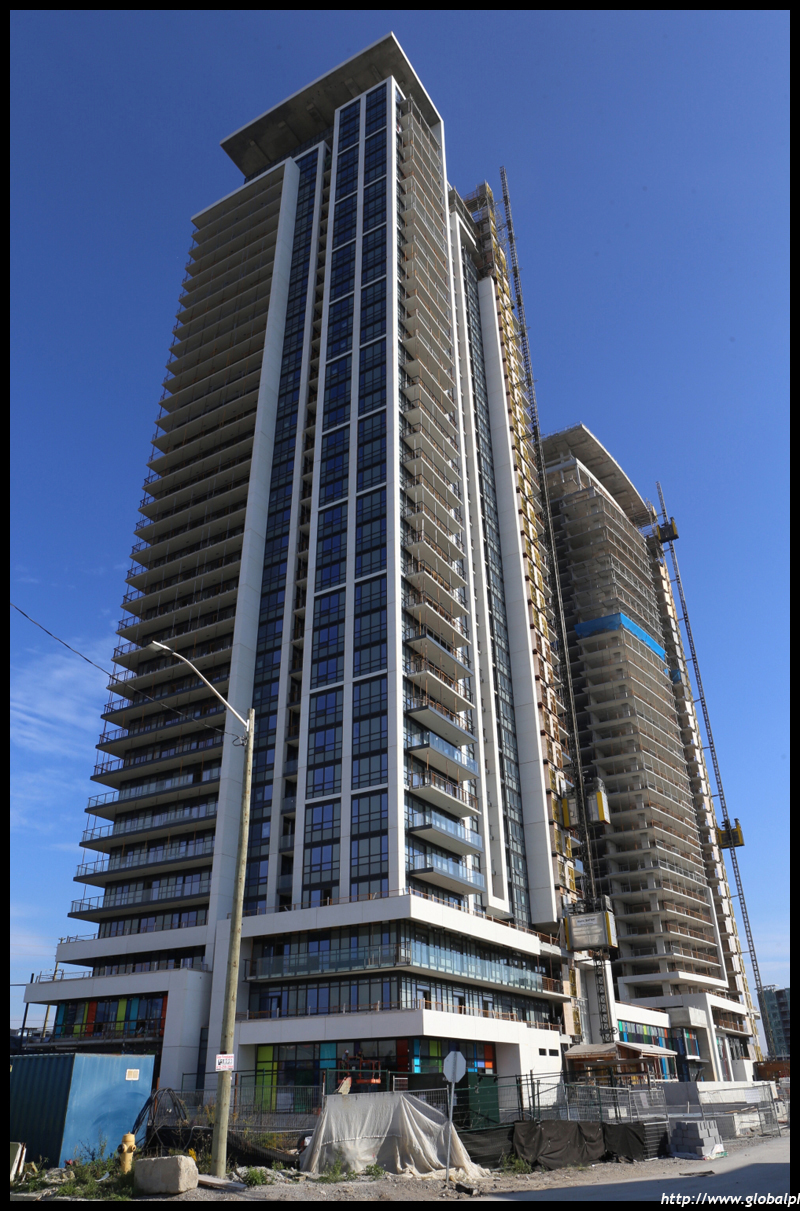
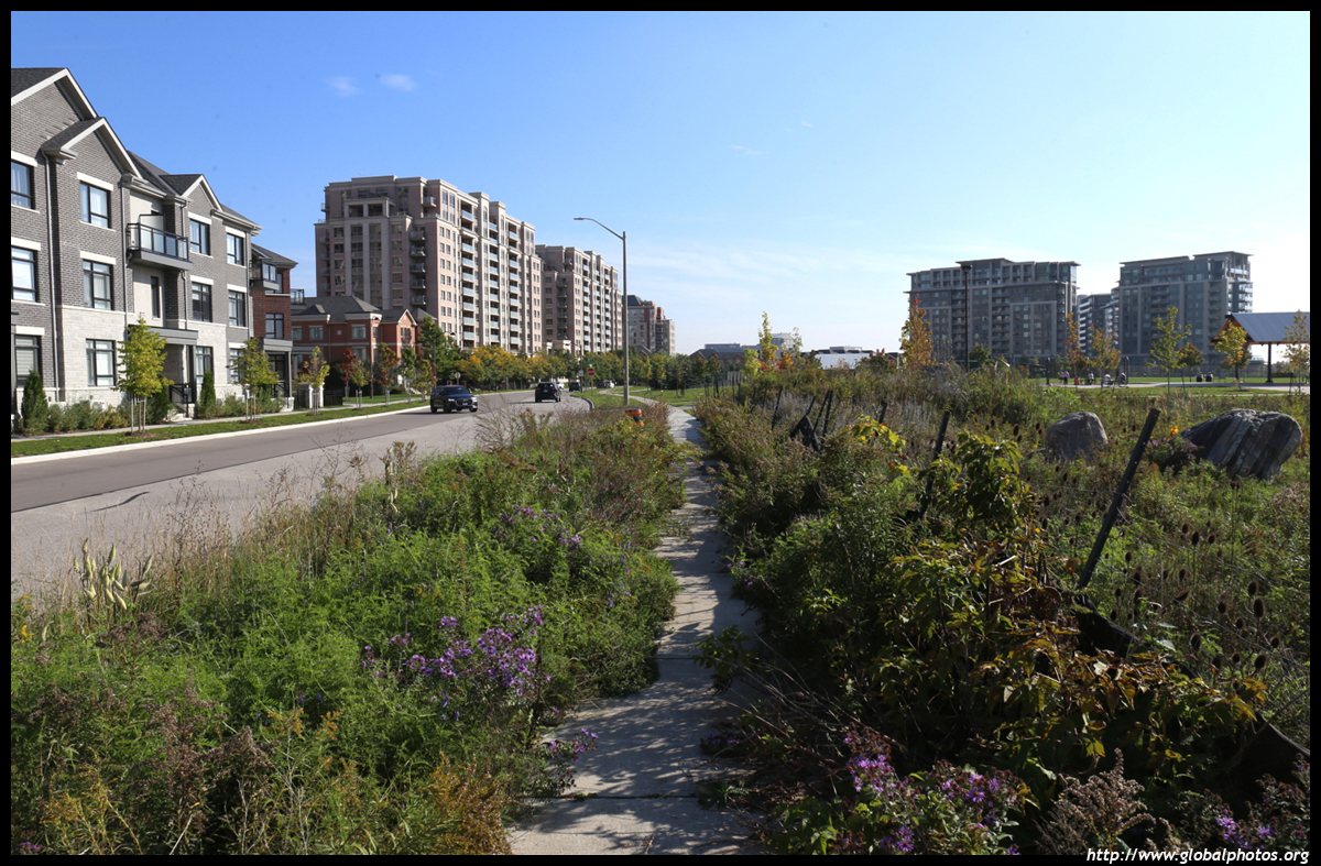
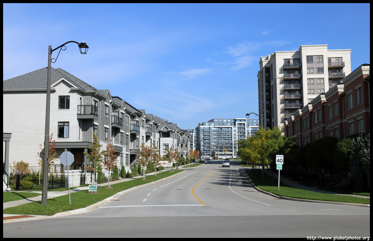
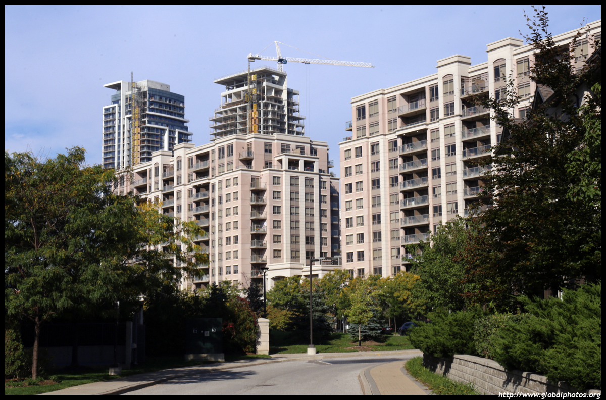
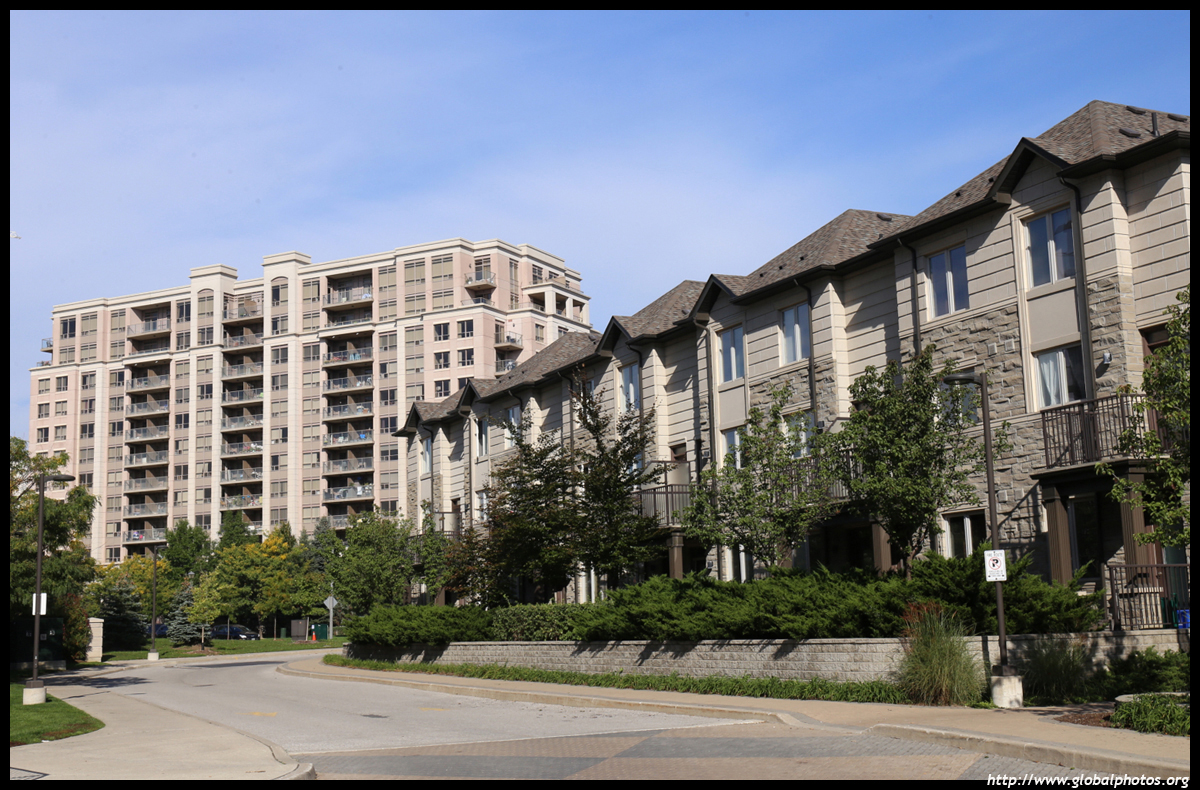
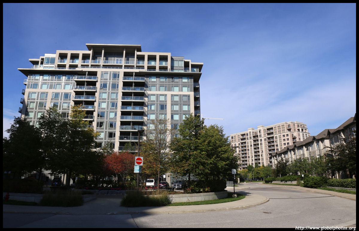
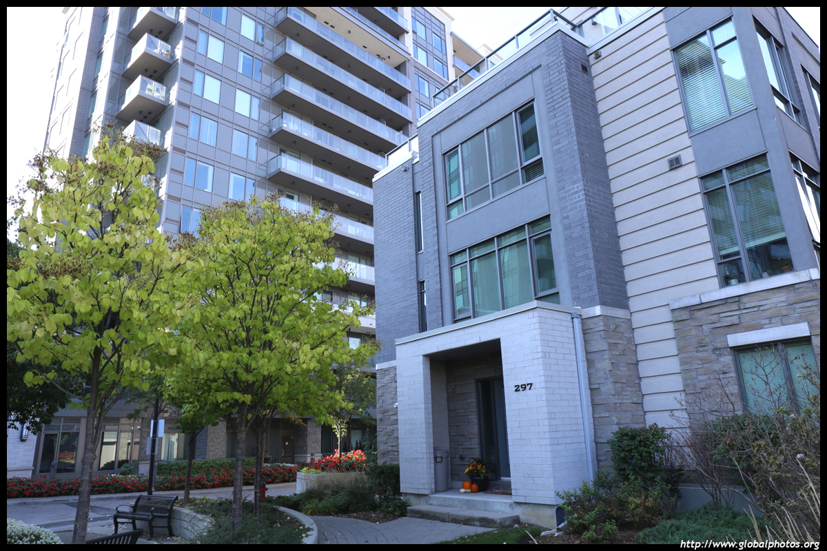
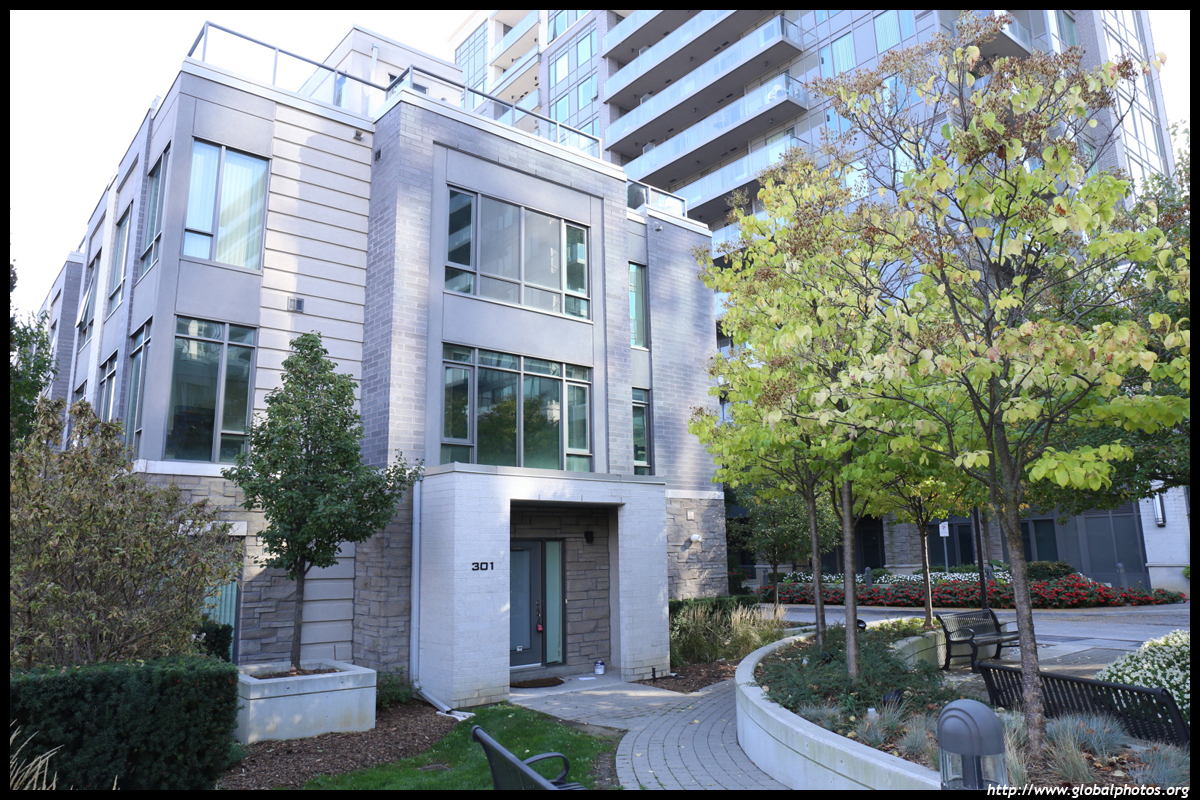
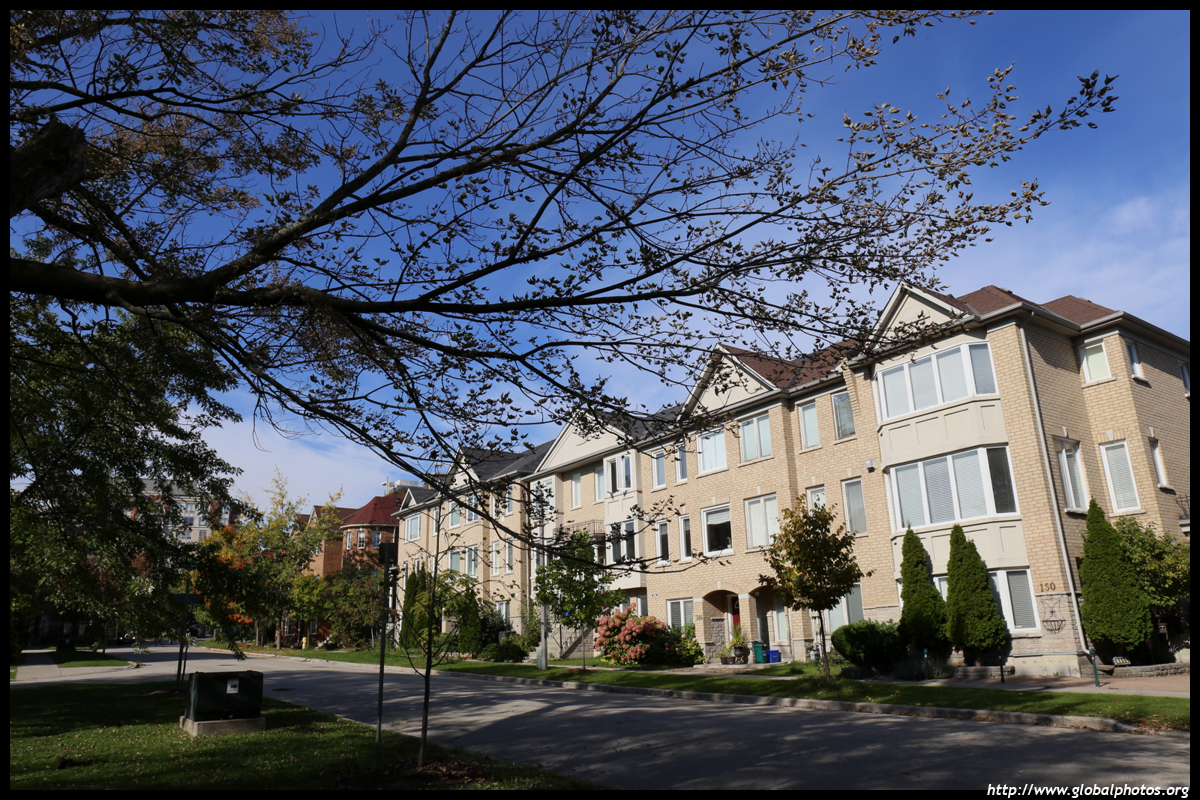
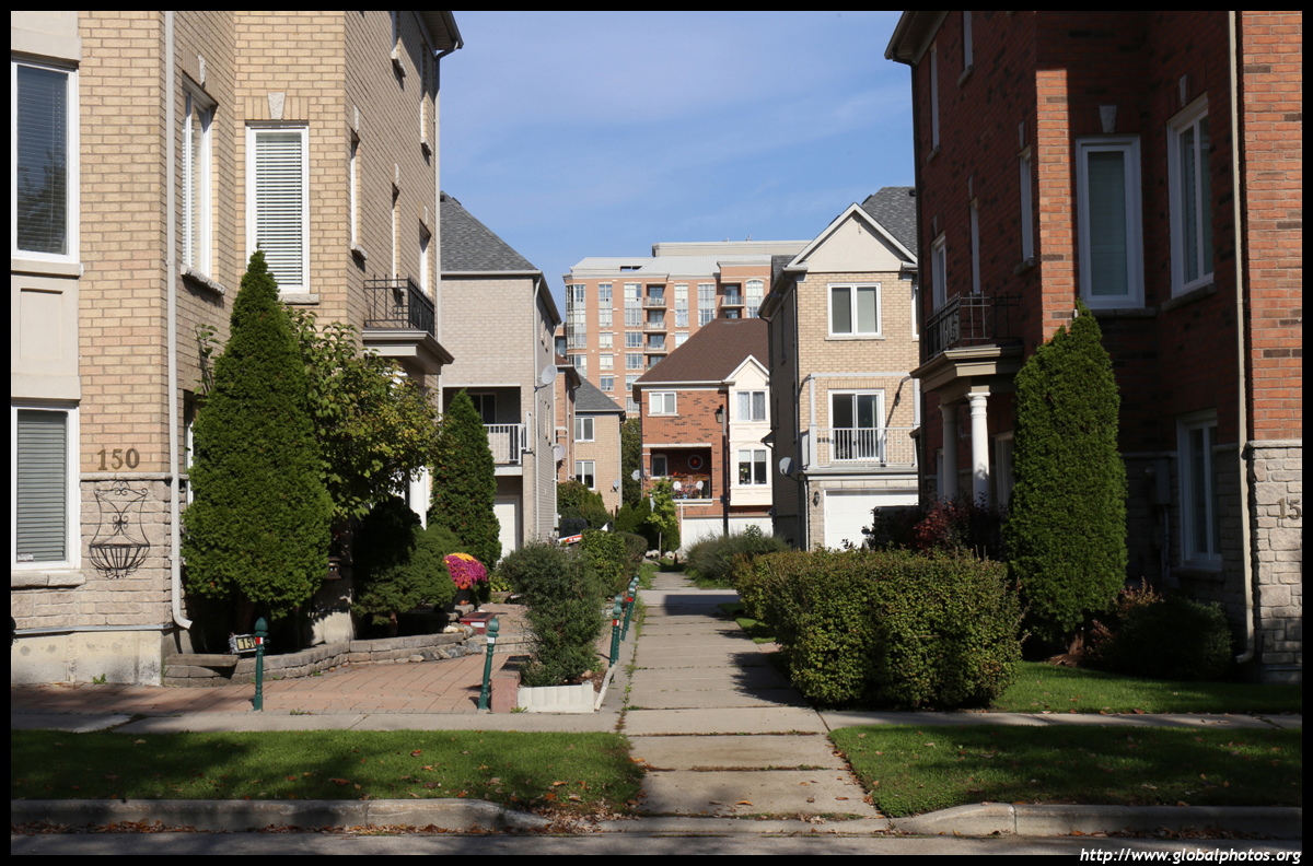
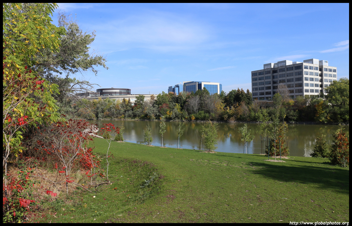
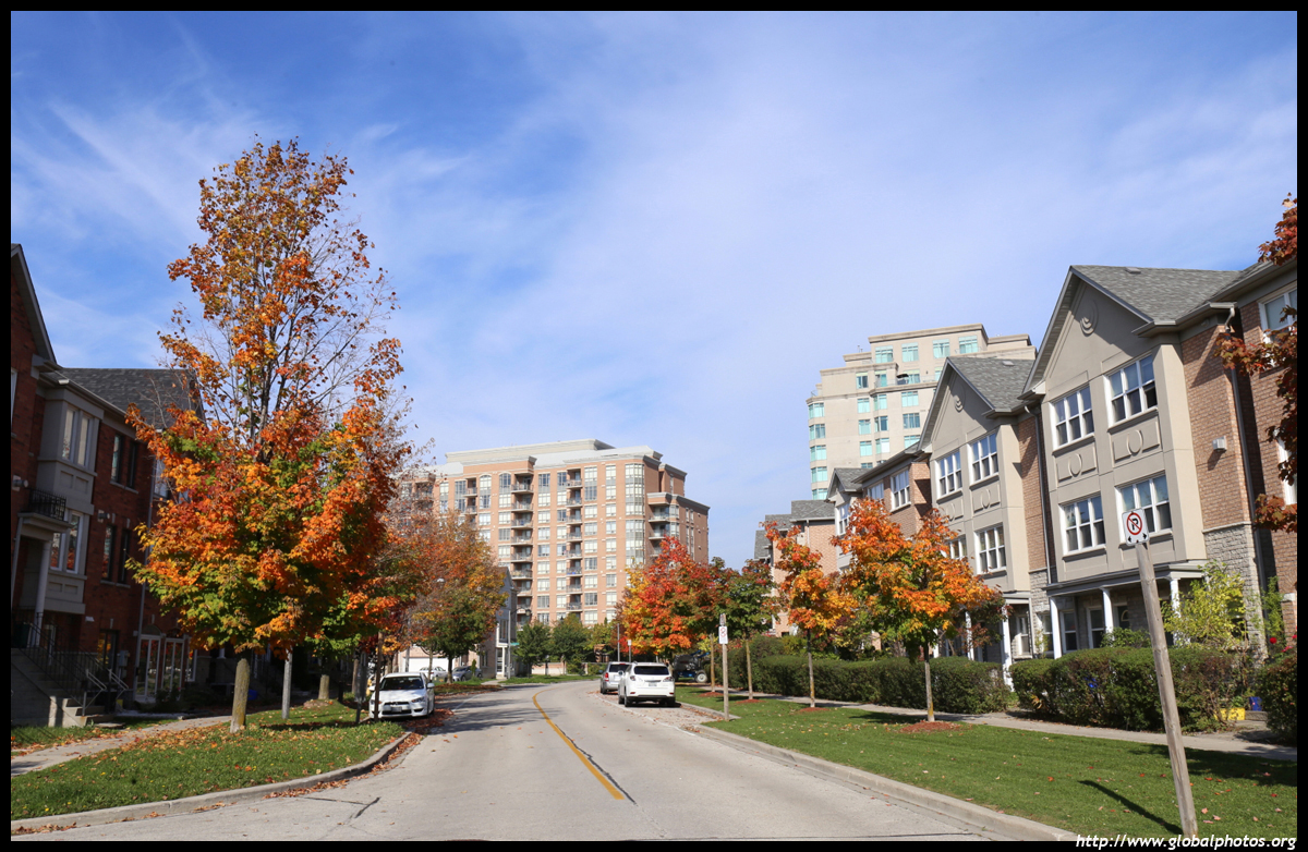
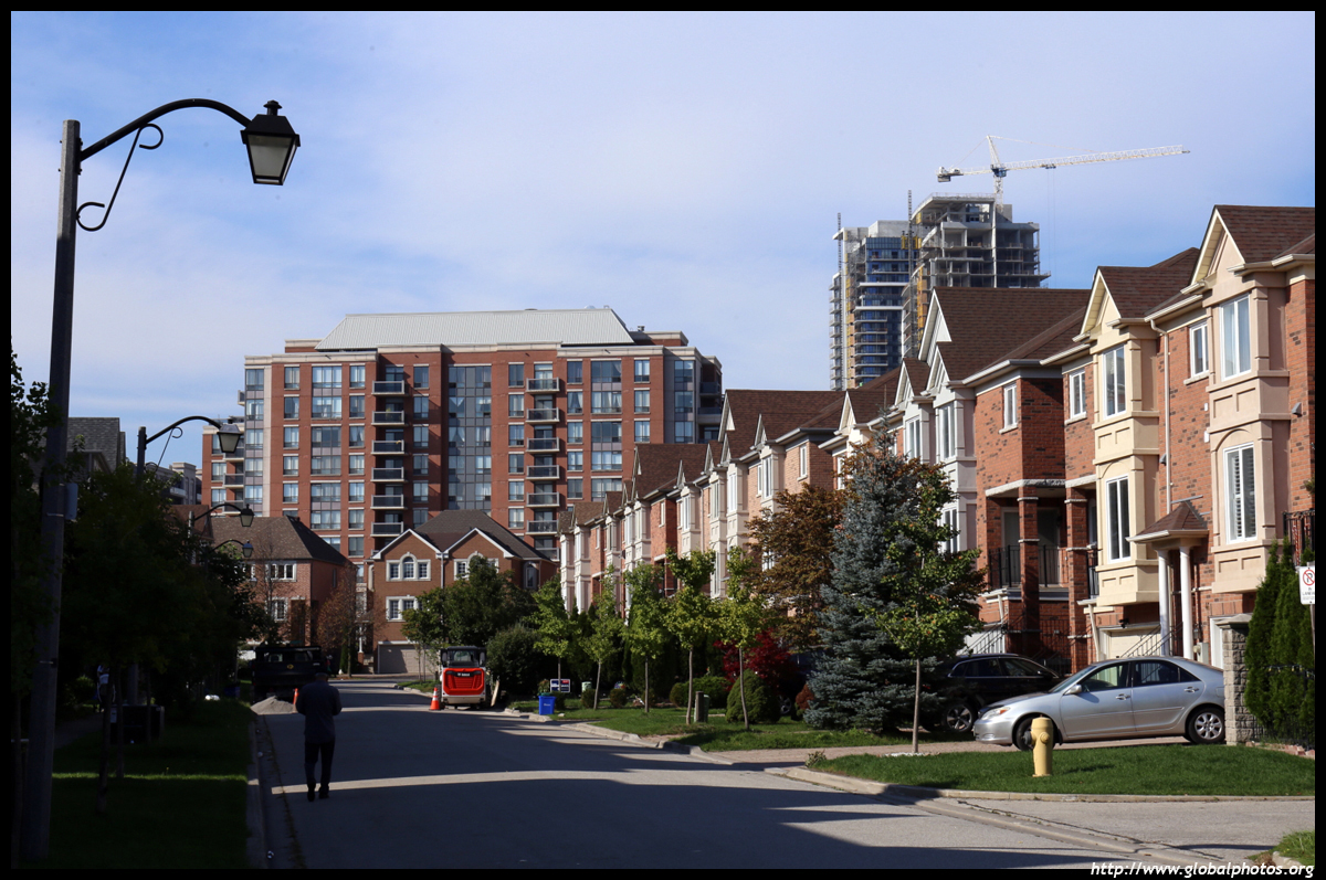
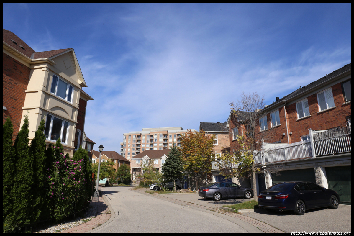
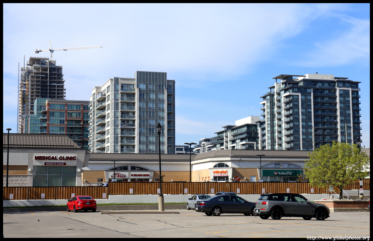
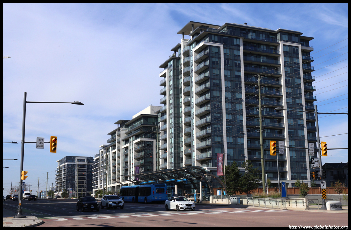
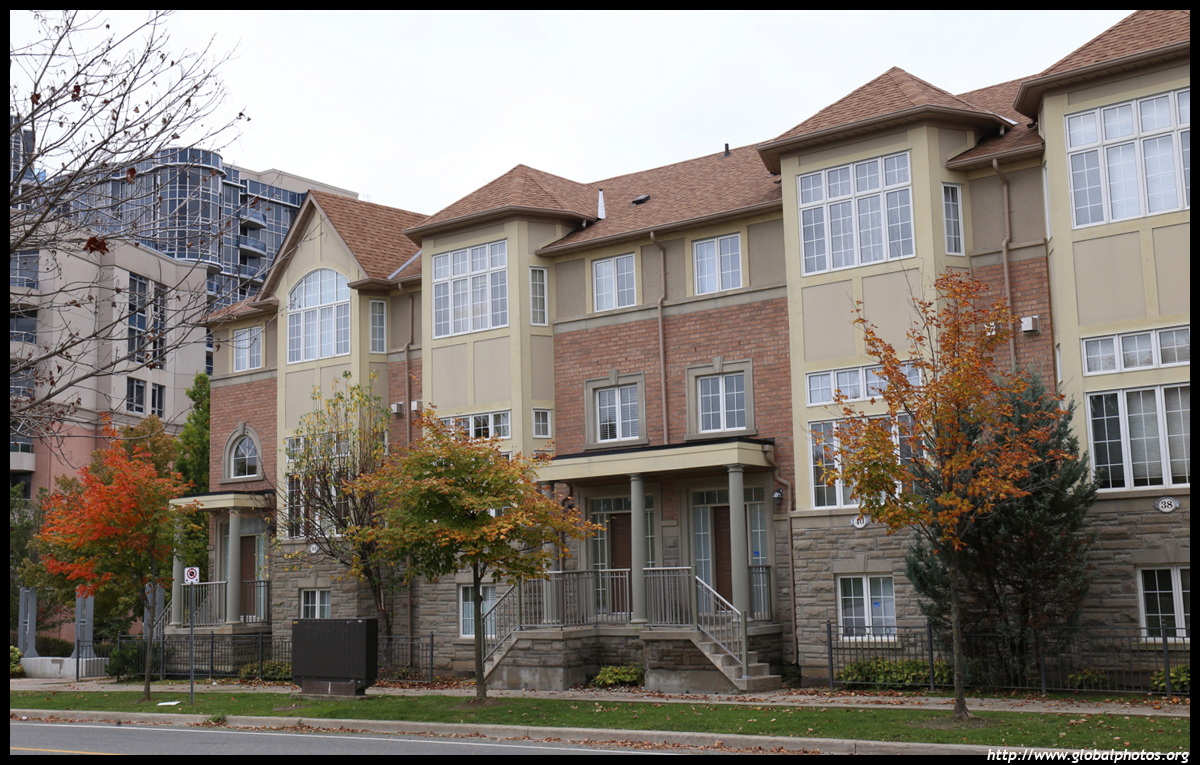
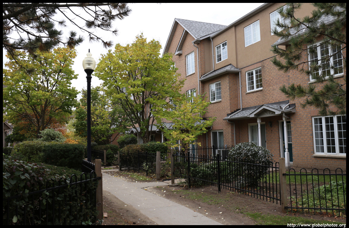
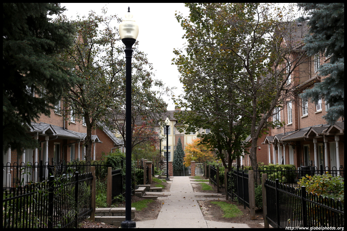
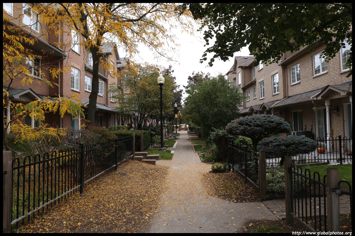
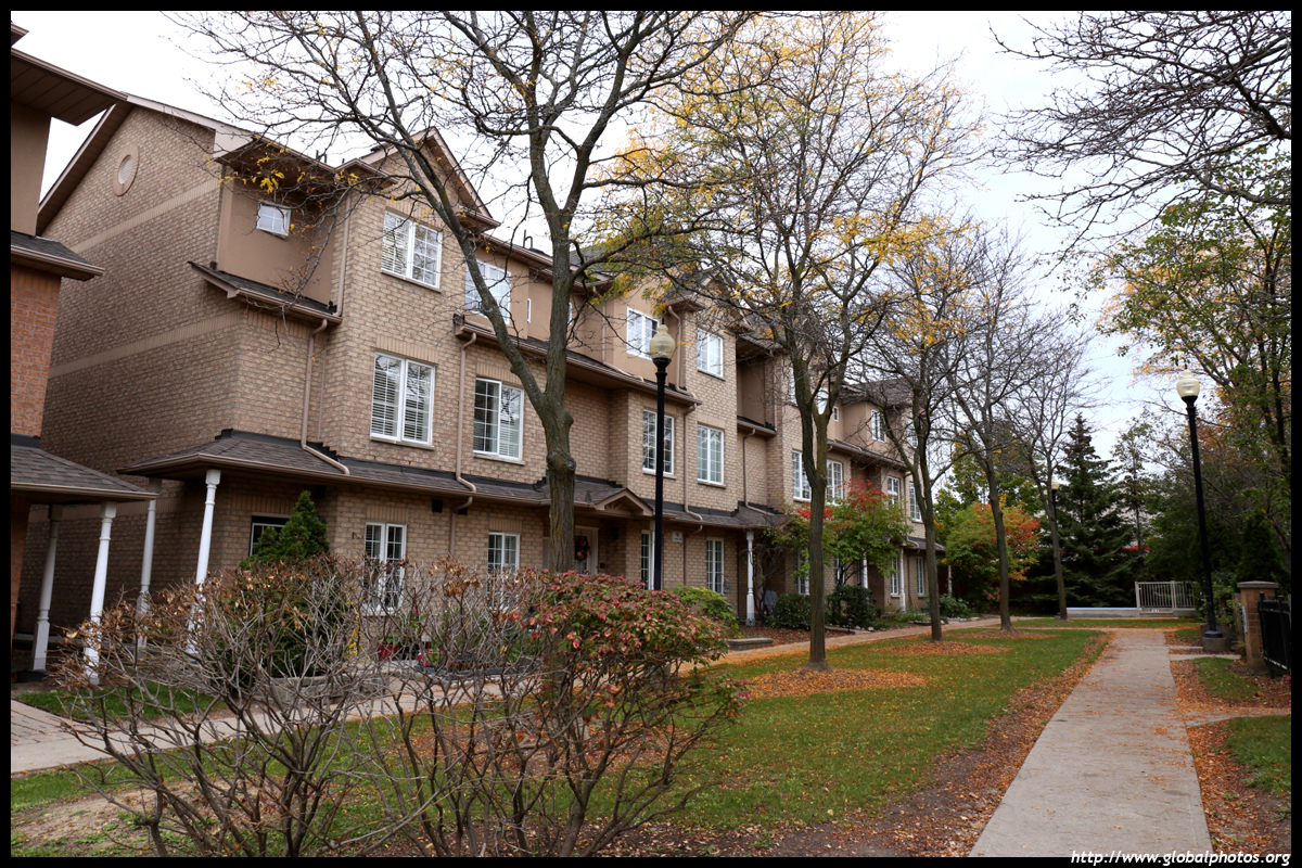
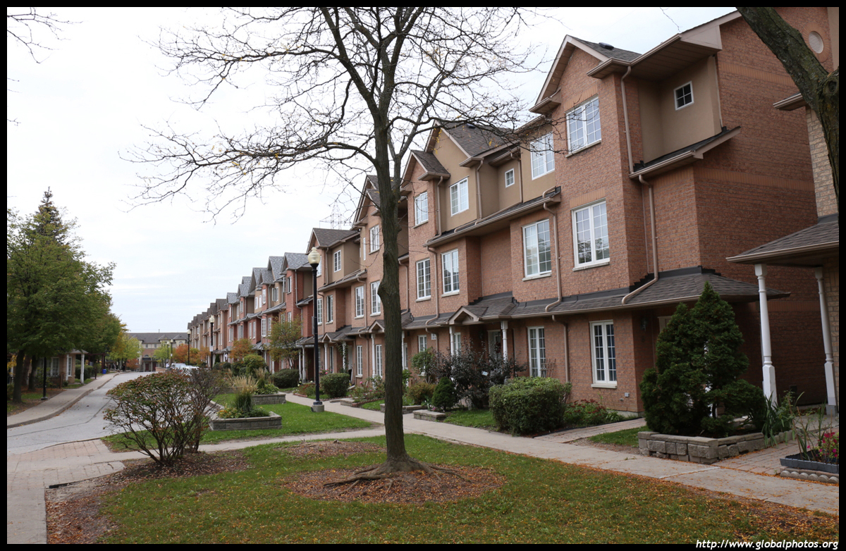
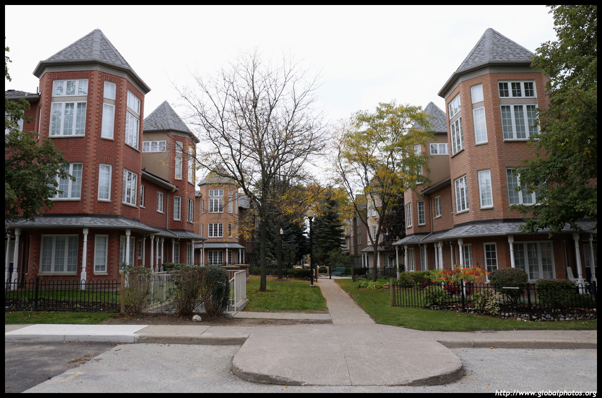
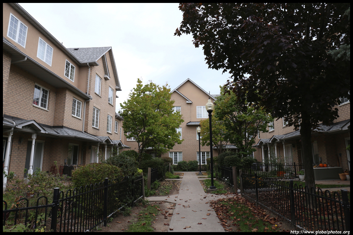
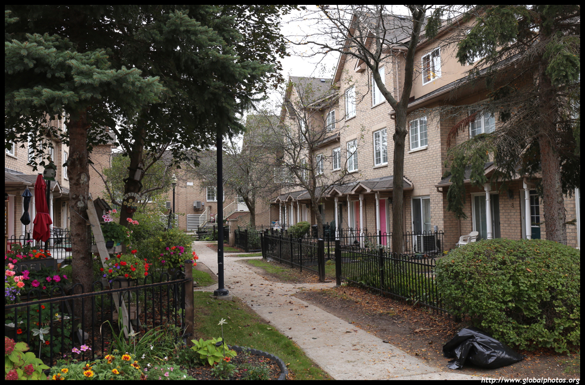
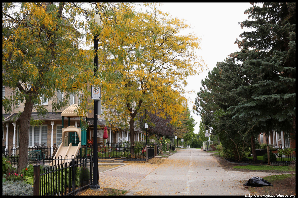
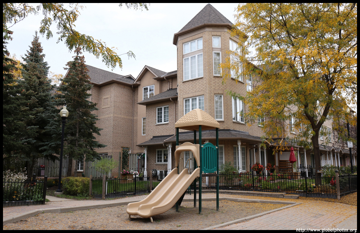
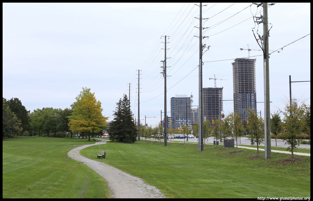
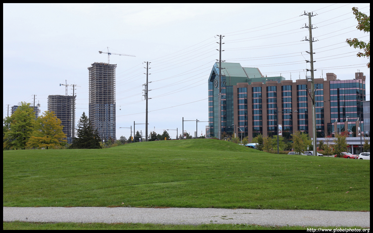
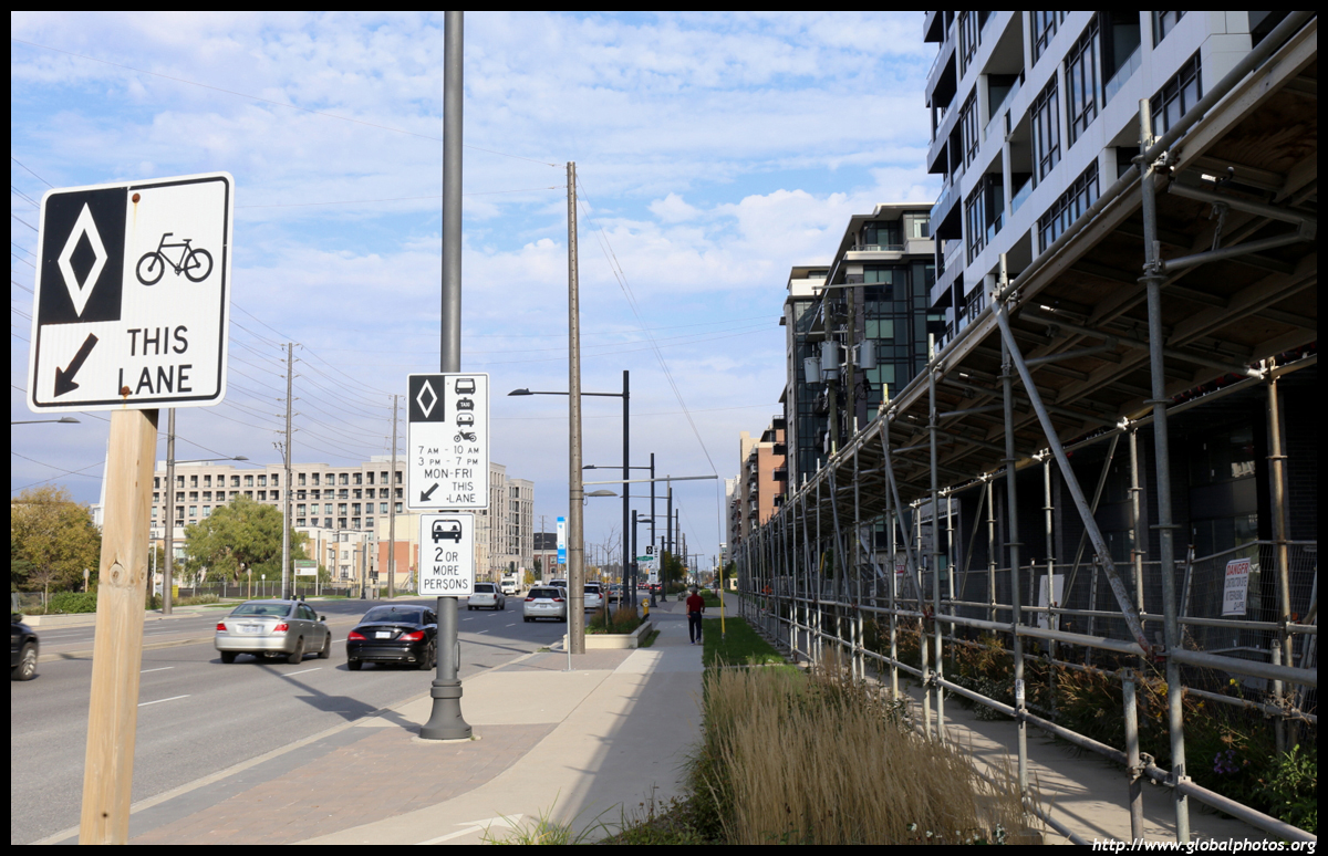
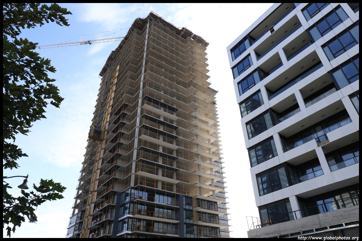
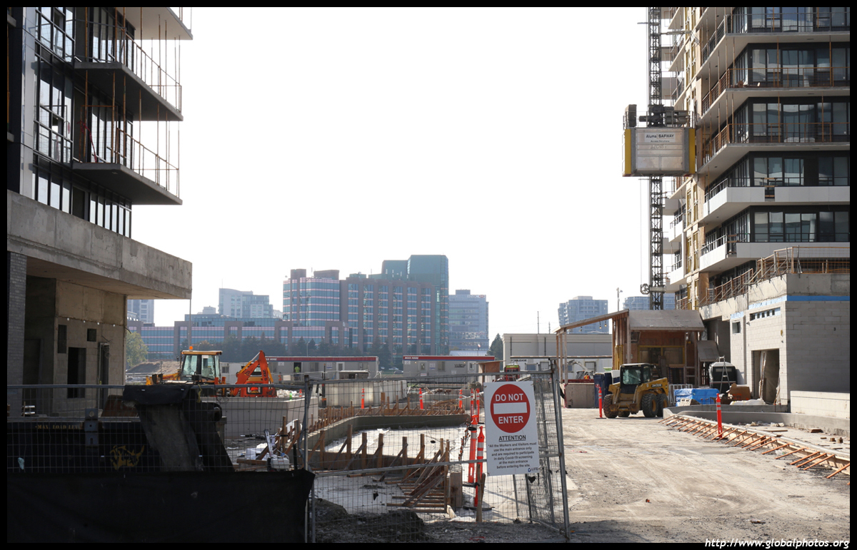
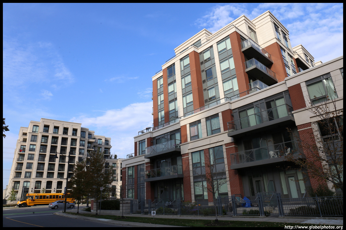
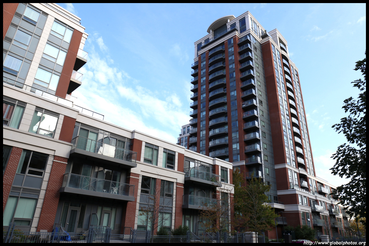
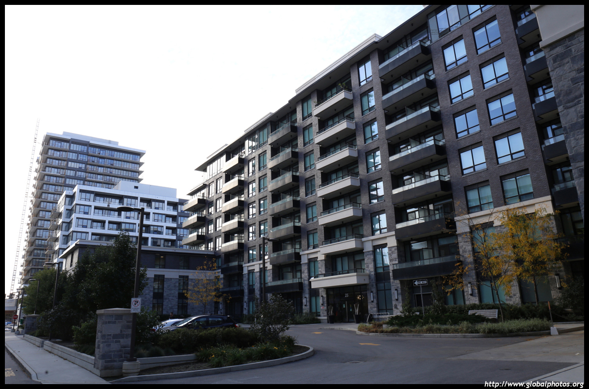
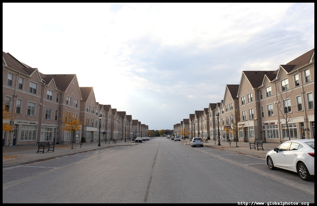
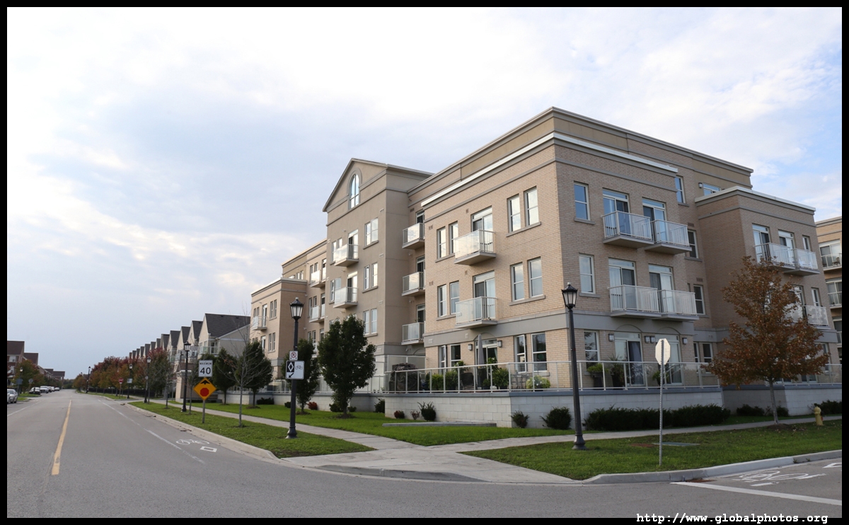
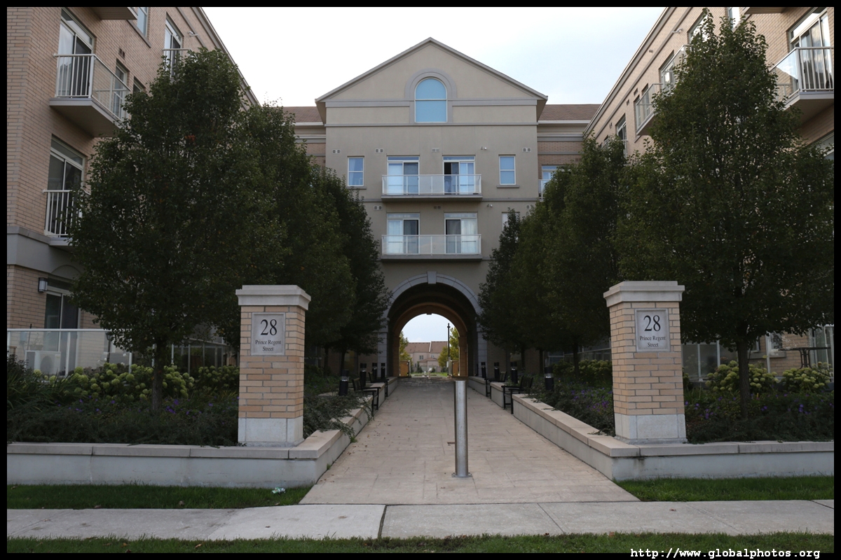
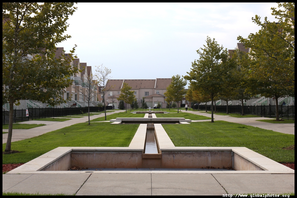
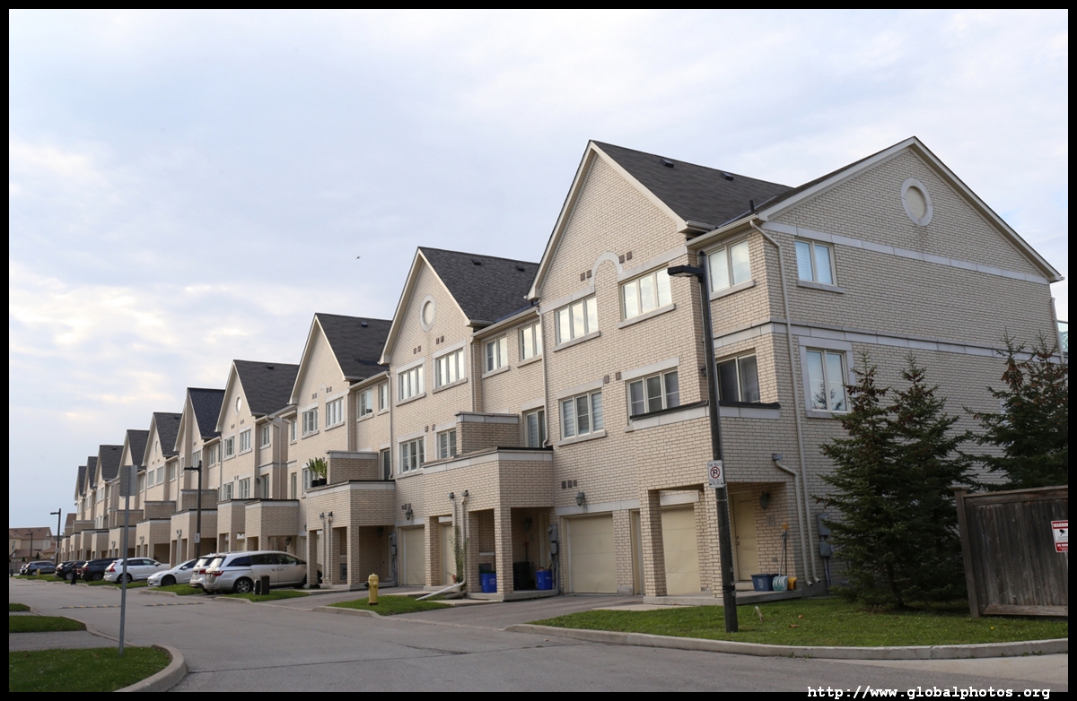
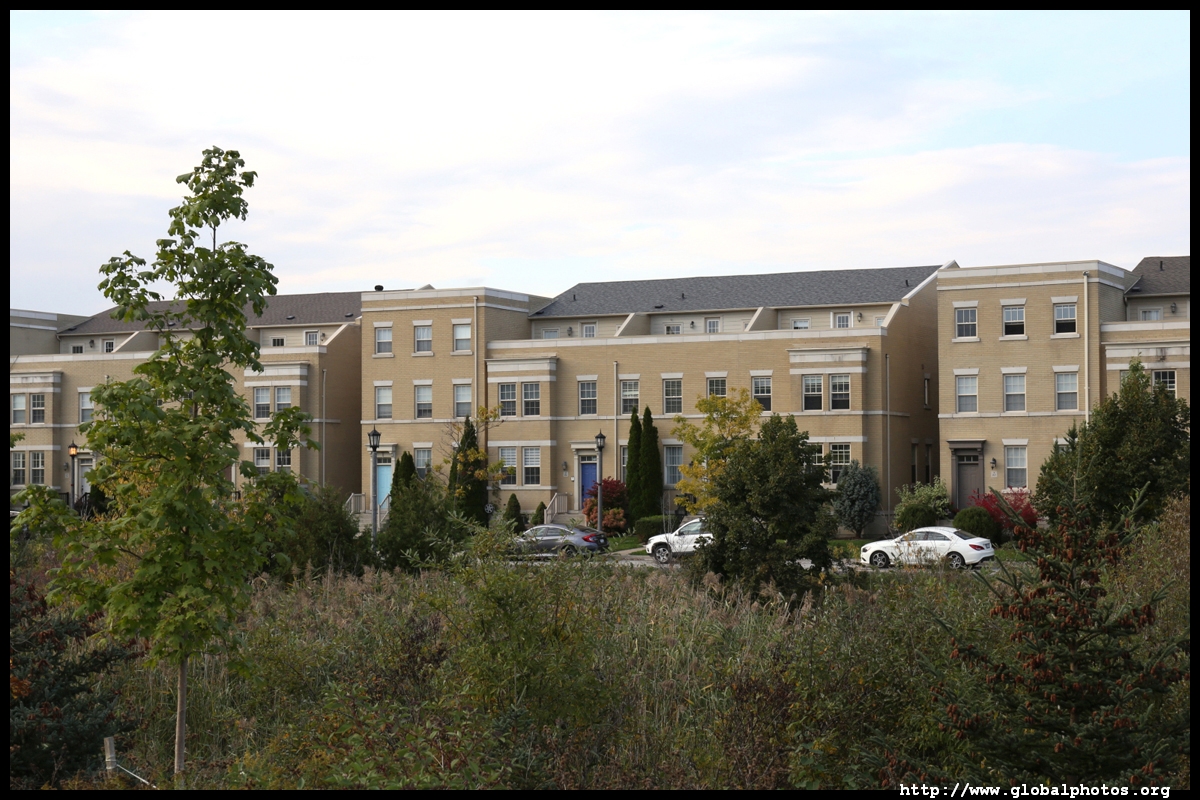
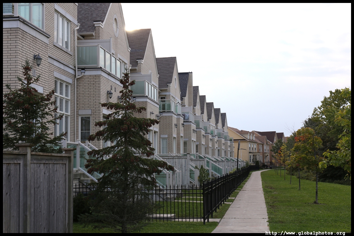
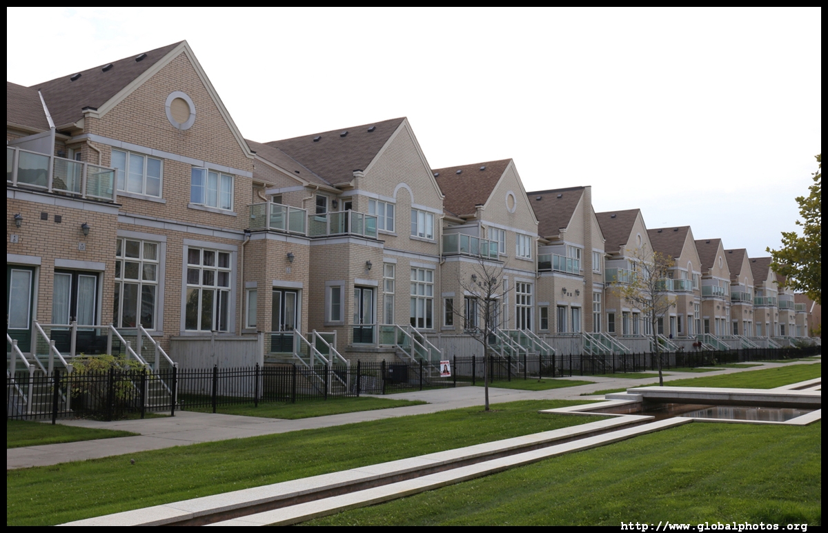
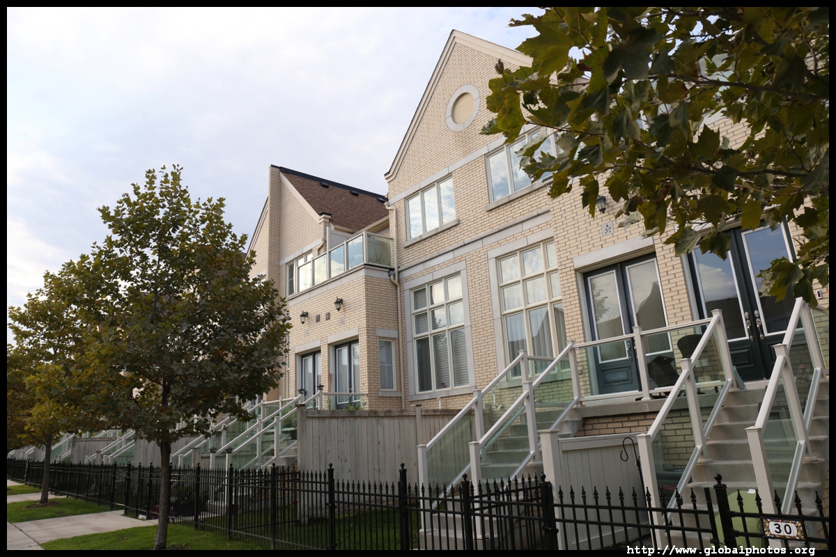
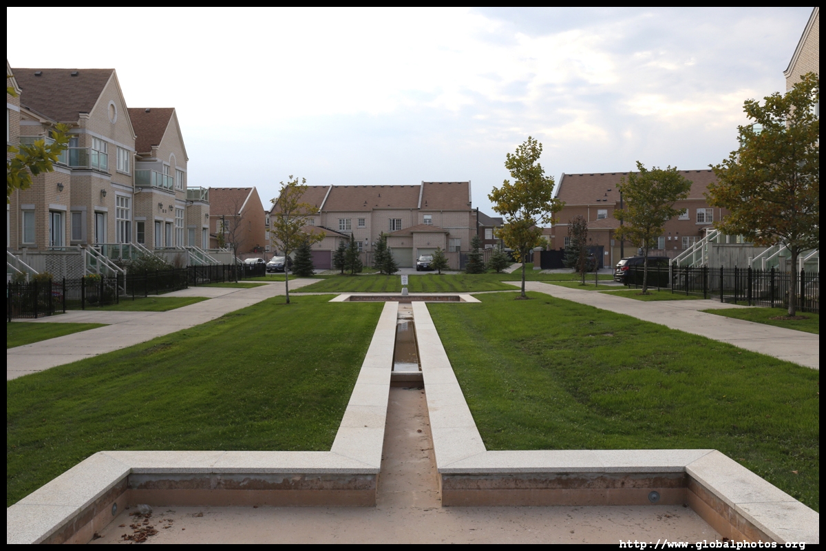
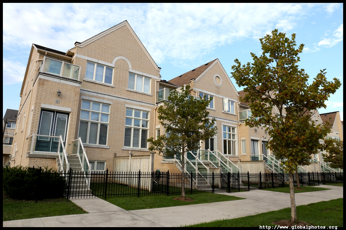
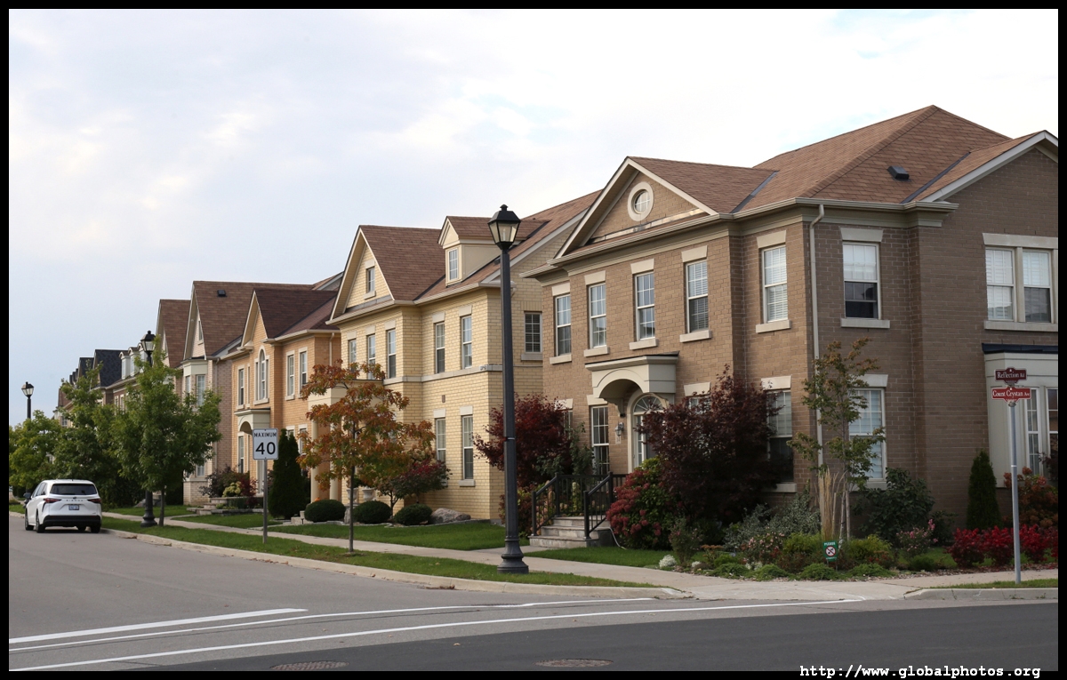
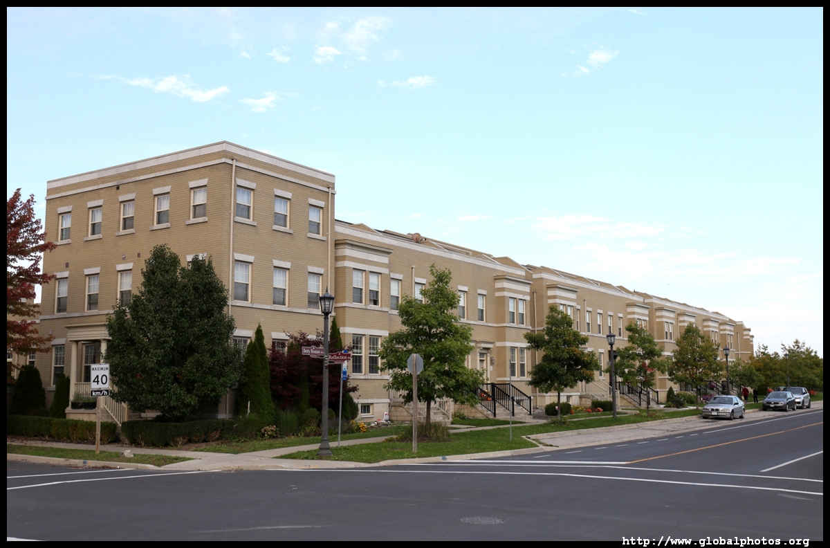
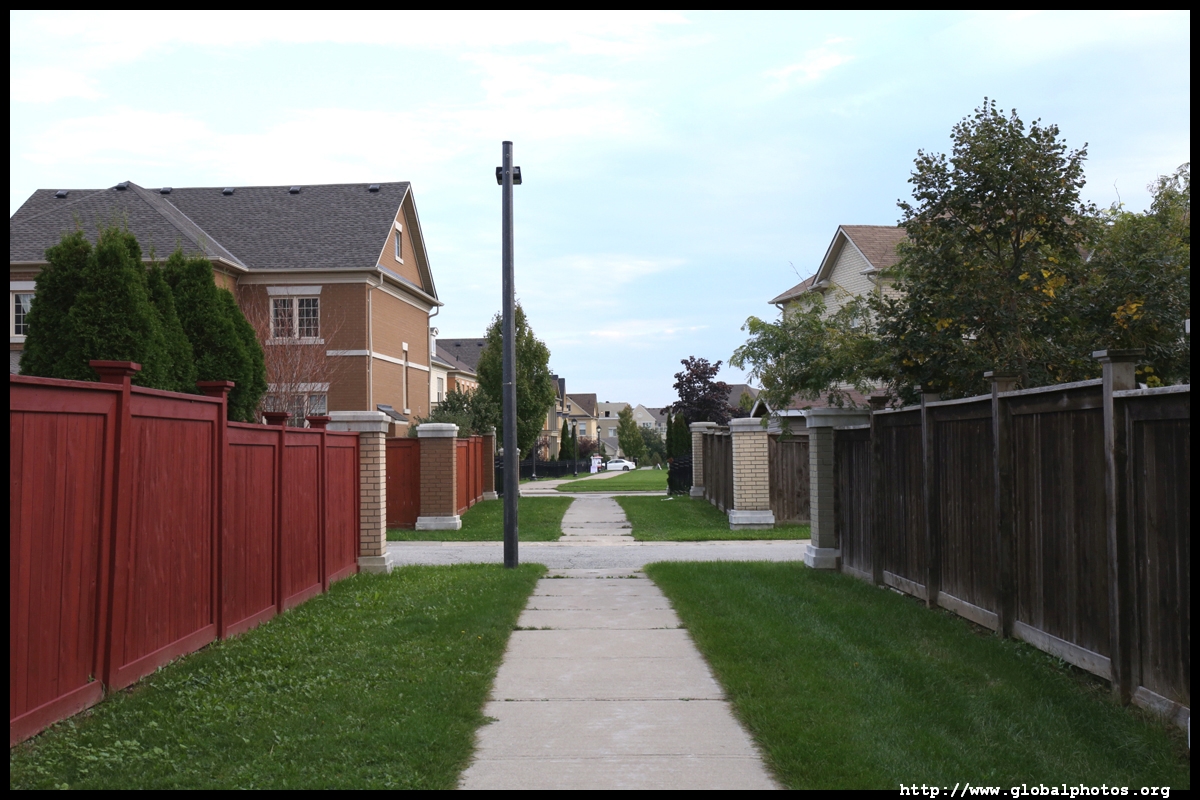
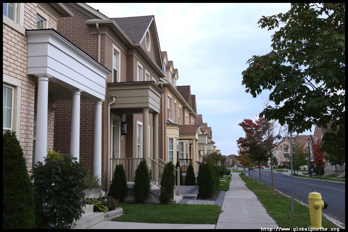
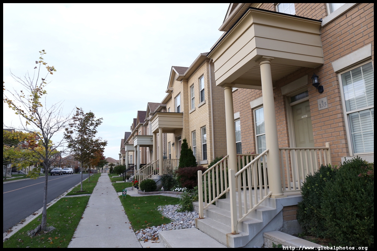
Similar to other suburbs, Markham is trying to build a new downtown. Centred around the Warden and Hwy 7 intersection, they hope to boost the population beyond 10,000 with over 2 million square feet of retail and 3.7 million square feet of office space.Here, the typical suburb of detached homes, long driveways, and empty sidewalks cannot be seen. In this community, front doors face a pedestrian-only path and buildings are packed more closely together. Cars are mostly hidden from view underground.
|  |
 |
 |
 |
 |
 |
 |
 |
 |
 |
 |
 |
 |
 |
||
 |
 |
 |
 |
 |
 |
 |
 |
 |
 |
 |
 |
 |
 |
 |
 |
 |
 |
 |
 |
 |
 |
||
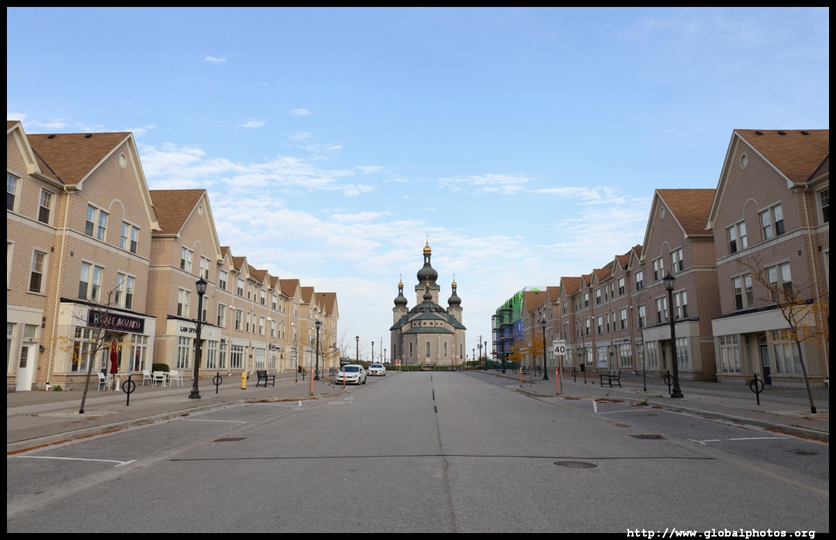
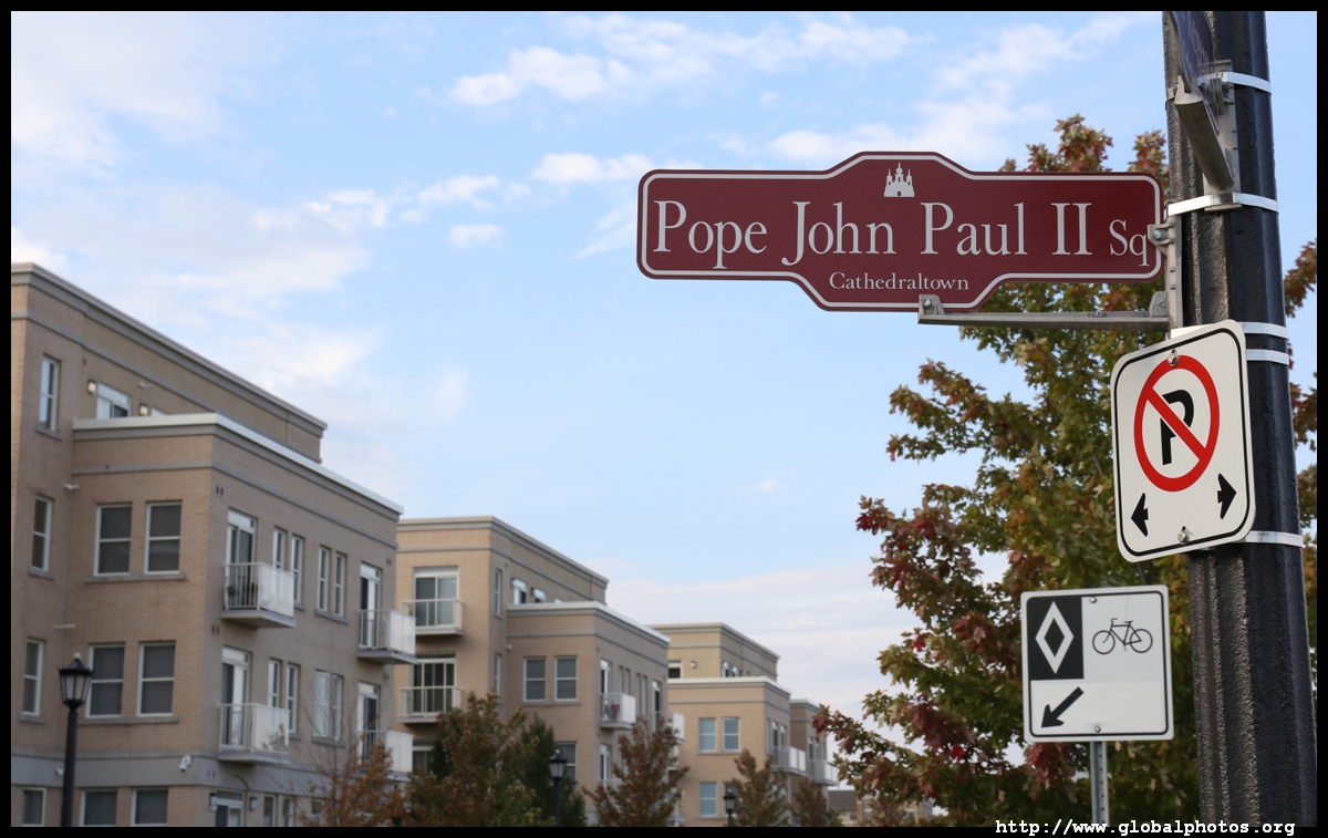
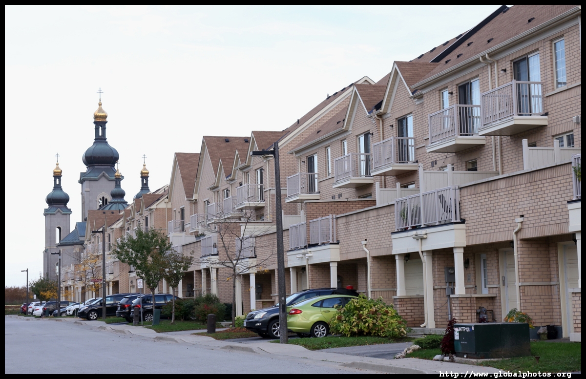
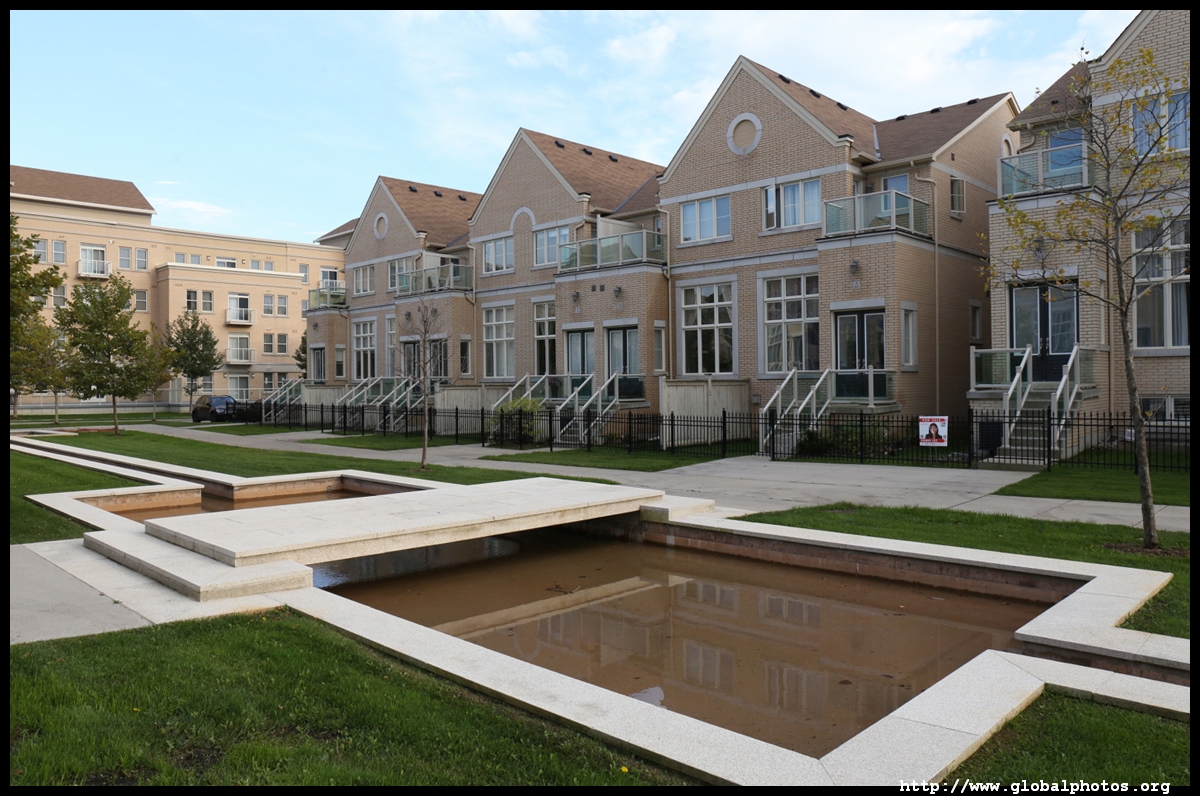
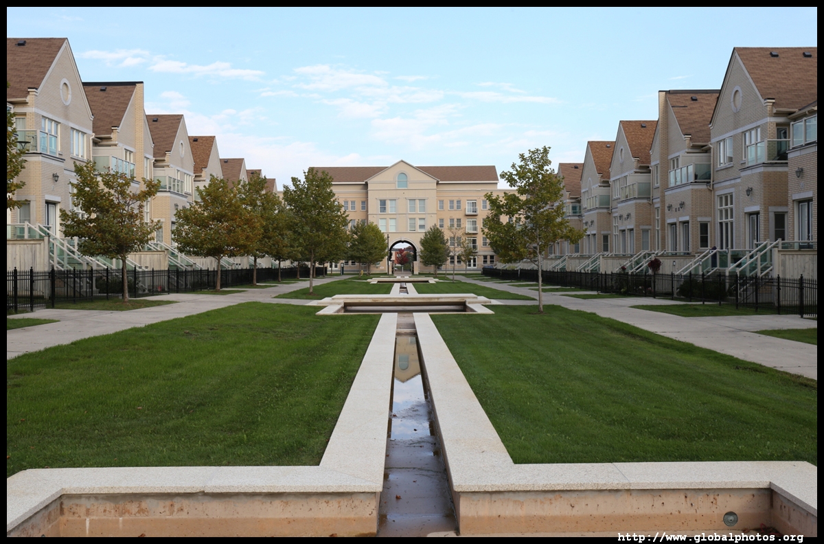
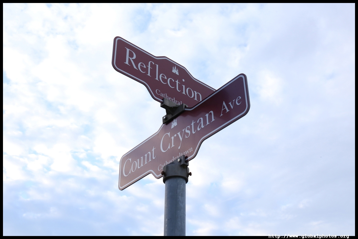
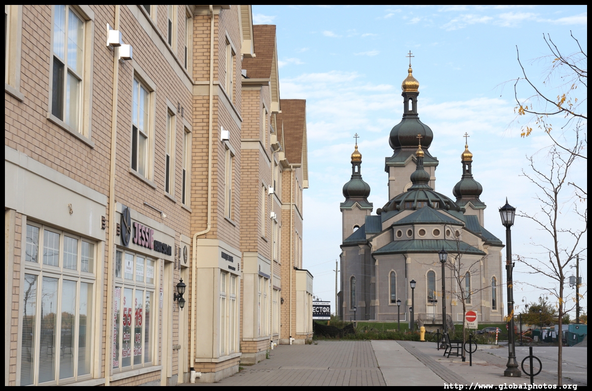
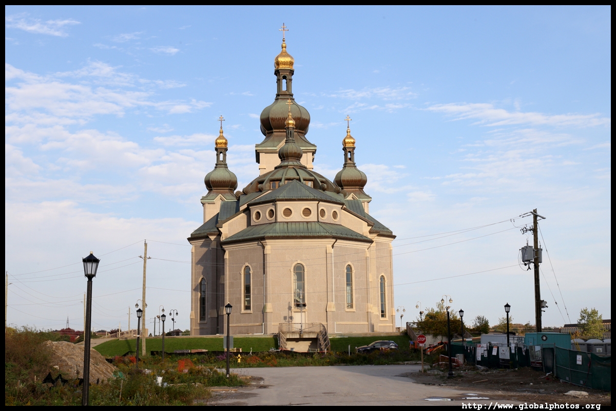
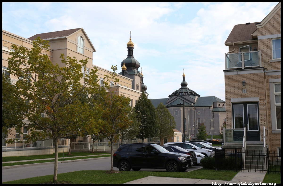
Cathedraltown is a unique Europe-inspired community centered around a new onion-domed cathedral. The 1200-home subdivision would include piazzas, a lake, and something different from typical suburbia. However, what was designed has not totally materialized. The cathedral shut in 2006 for a decade due to a dispute over the land's title.
| |||
 |
 |
 |
 |
 |
 |
 |
 |
 |
 |
 |
 |
 |
 |
 |
 |
 |
 |
 |
 |
 |
 |
 |
 |
 |
 |
 |
 |
 |
 |
 |
 |
 |
 |
 |
 |
 |
 |
 |
 |
 |
 |
 |
 |
 |
 |
 |
 |