Azores Photo Gallery - Climbing Pico
. |
|
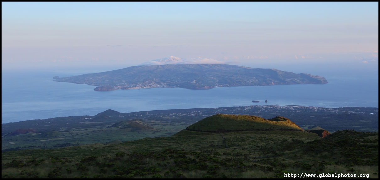
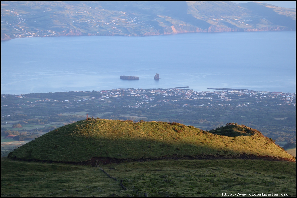
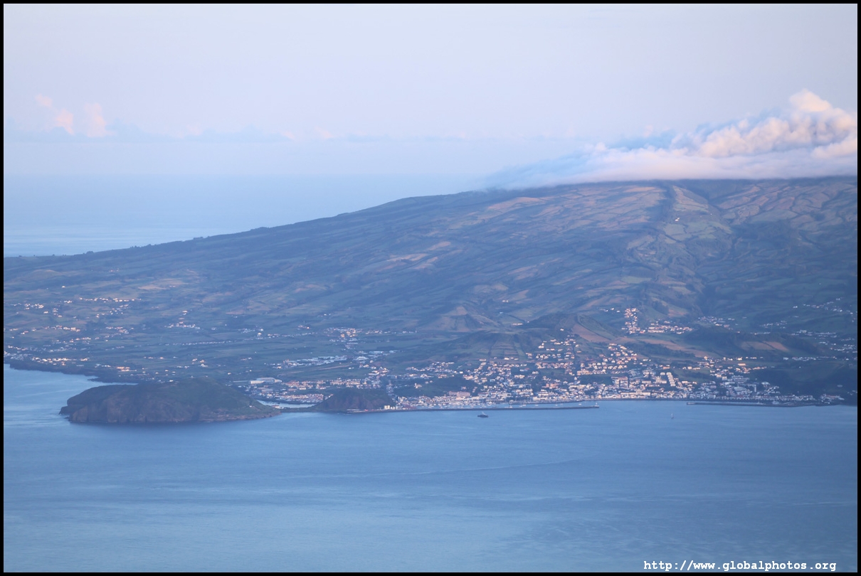
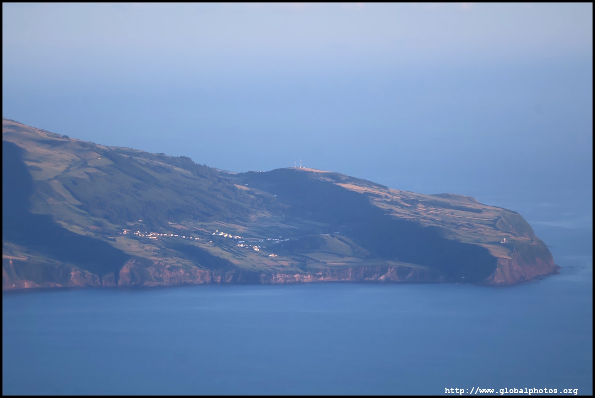
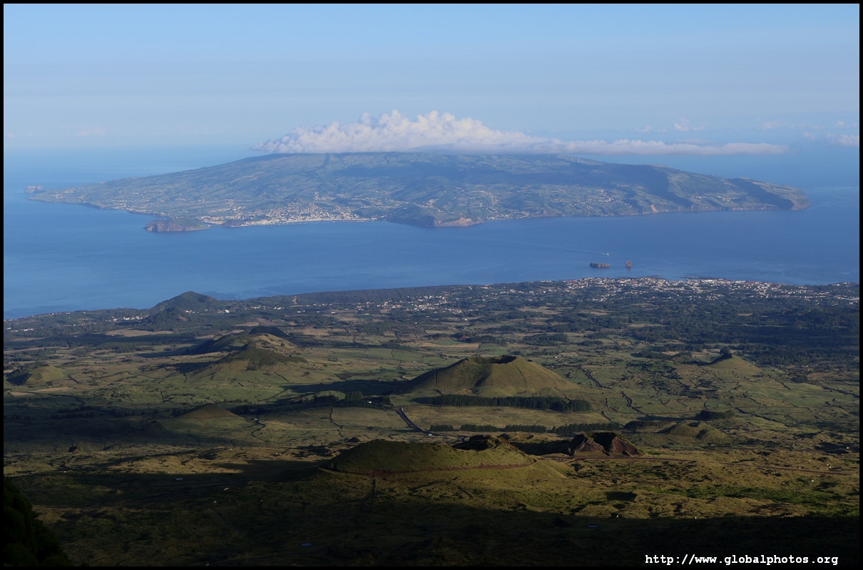
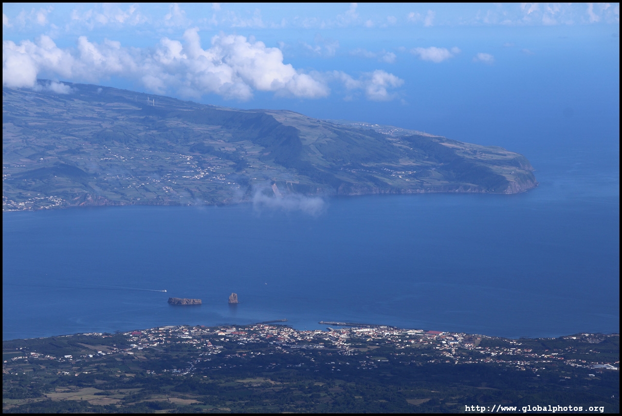
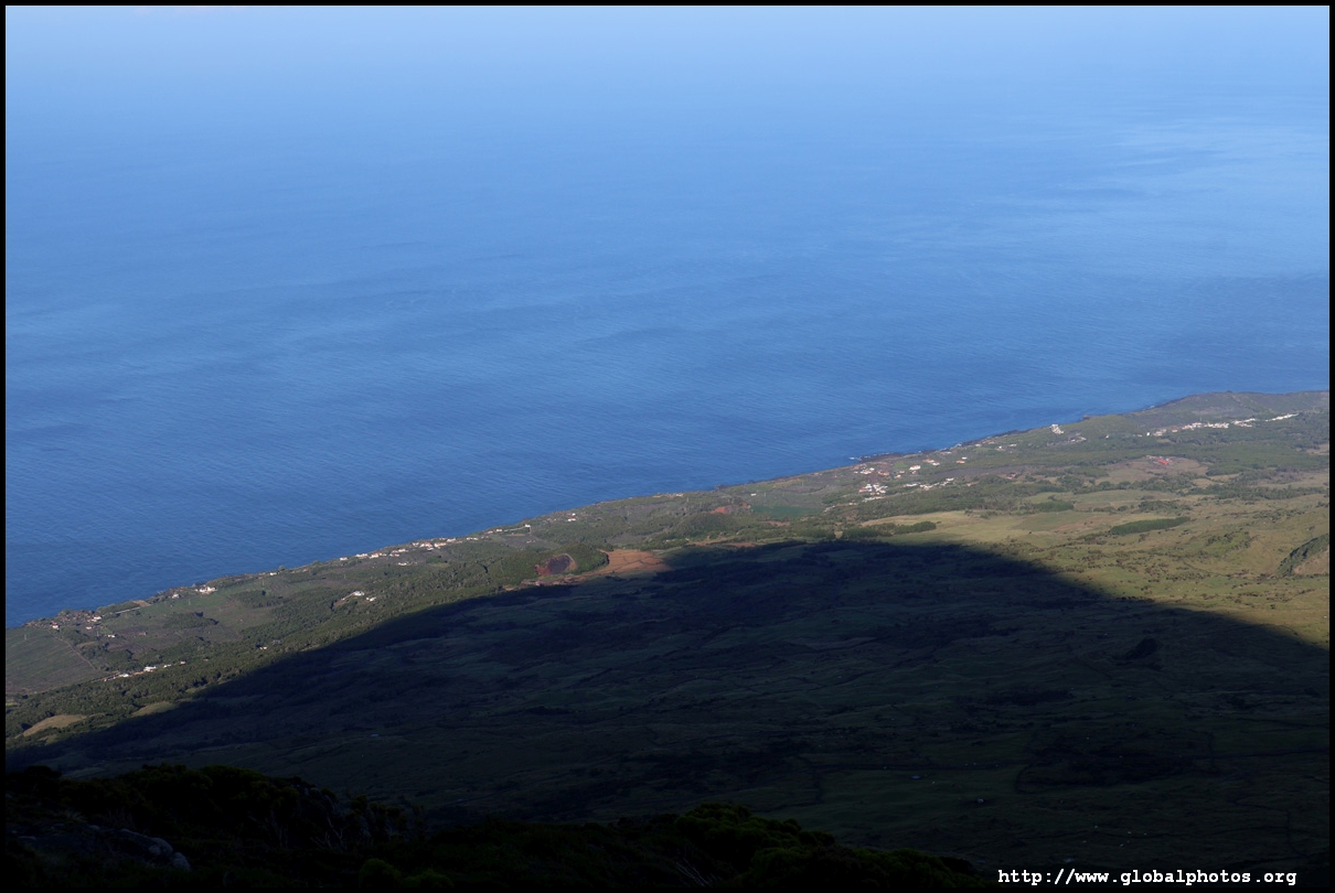
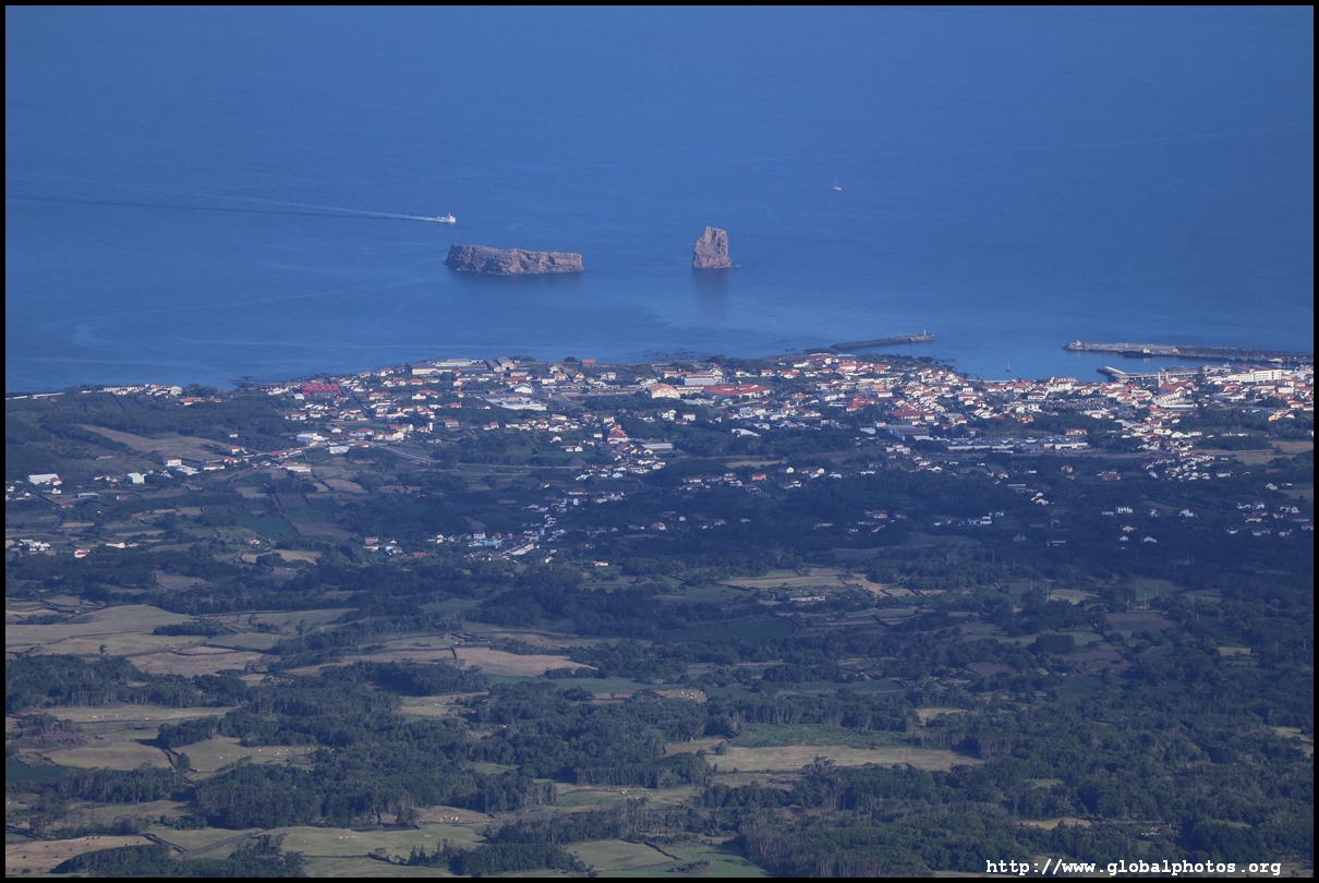
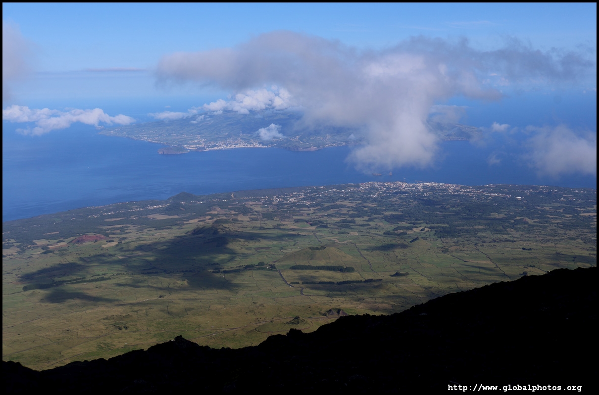
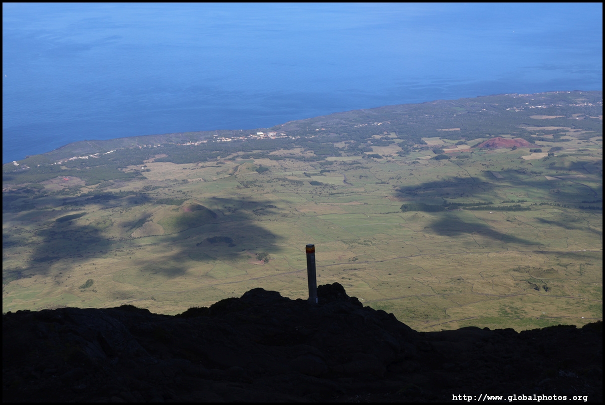
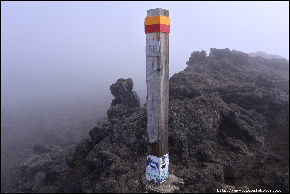
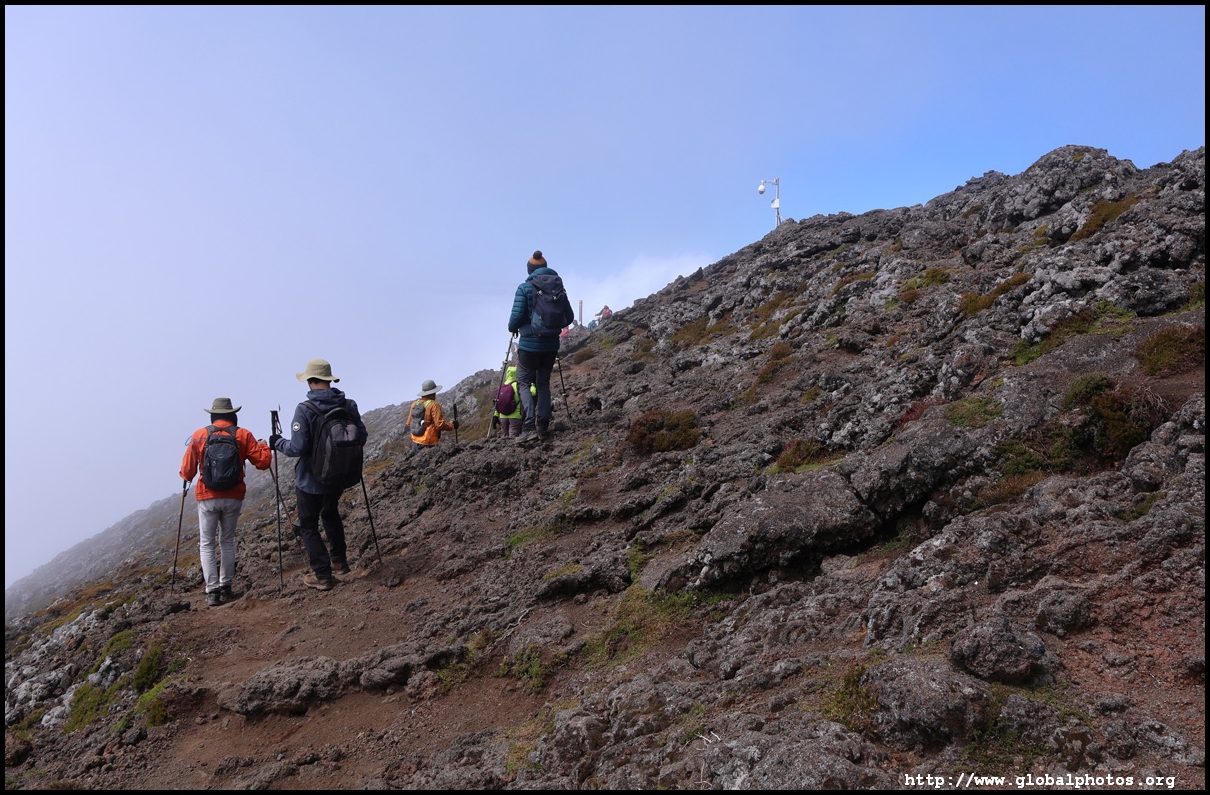
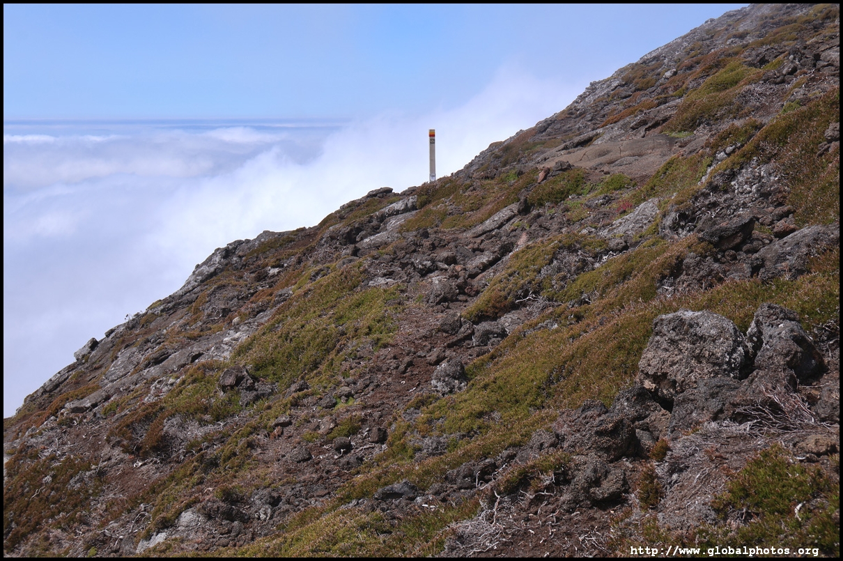
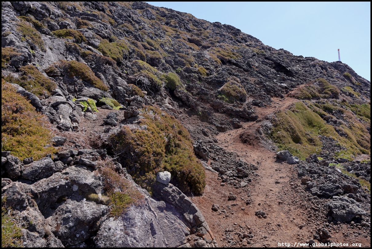
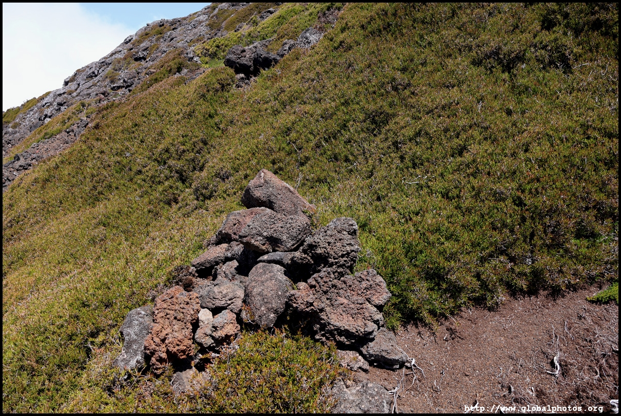
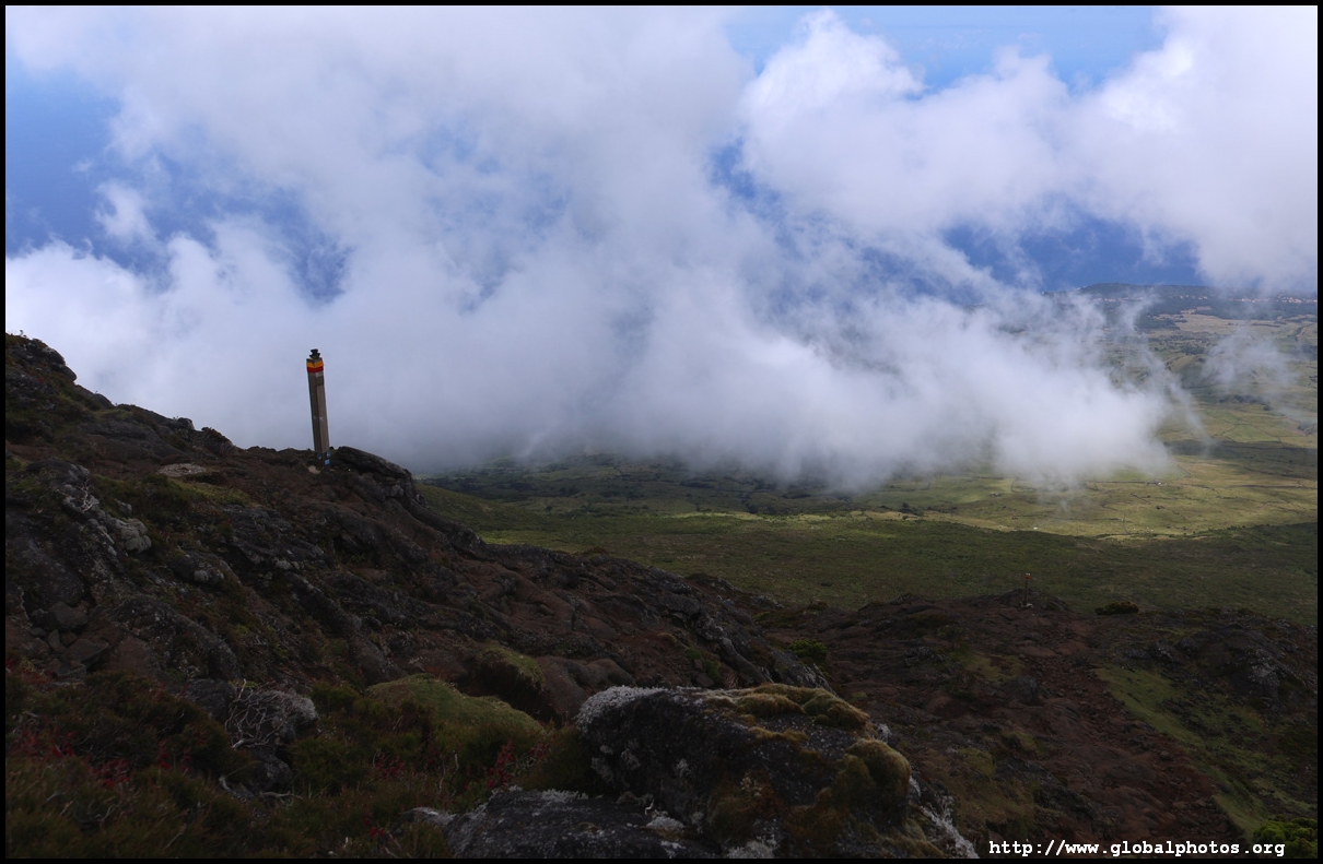
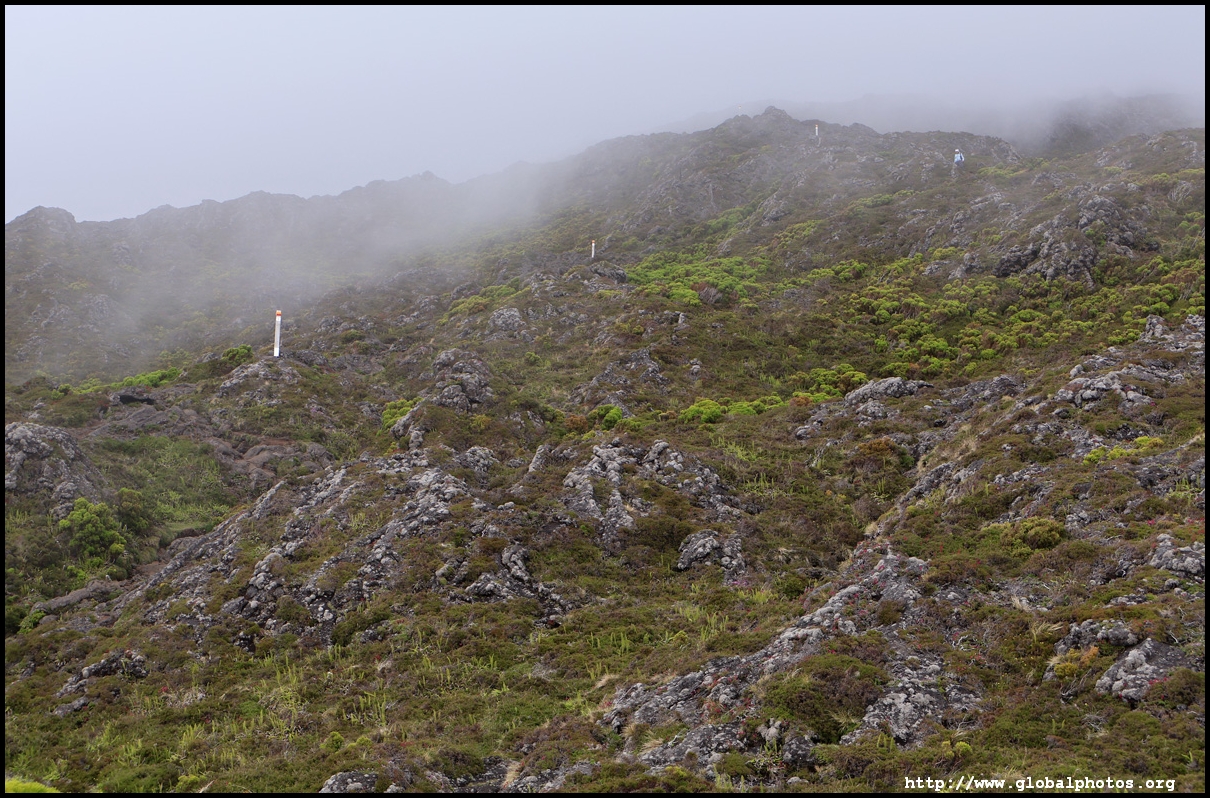
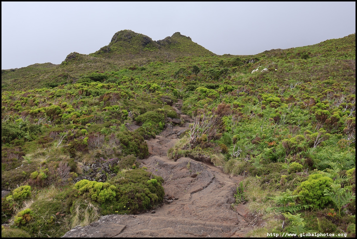
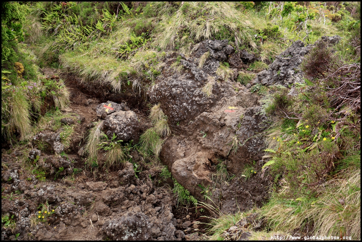
You can't miss the volcano. It is the tallest mountain around and you can easily spot it from neighbouring islands. Rising 2351m, it is possible to hike to the top with the starting point half way up at Mountain's House at about 1200m.The hike is technically difficult with steep gradients, so having a guide was a good decision for safety and local knowledge. Mountain weather can change quickly and be drastically different from sea level. While it was sunny in the towns, Pico's top could be shrouded in clouds, and the guide's assessment on whether to proceed is crucial for a successful trip. At Mountain's House, there are facilities to change. I collected hiking poles and a GPS watch to track my location before setting off. The guide explained there are several stages in our ascent, and the initial climb was quite tough. There isn't a marked path up the mountain - you trek amidst the rocks and look for the official trekking posts along the mountainside. However, it wasn't clear how you get from one pole to another. This is where the guide's expertise kicks in as she finds a safe way up and the group follows behind. Looking back, there is a beautiful view of Faial and Horta under brilliantly blue skies.
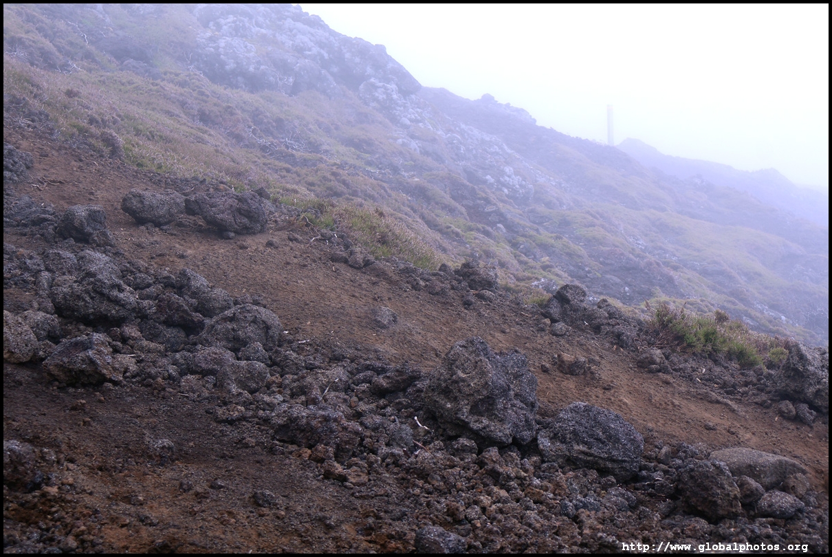
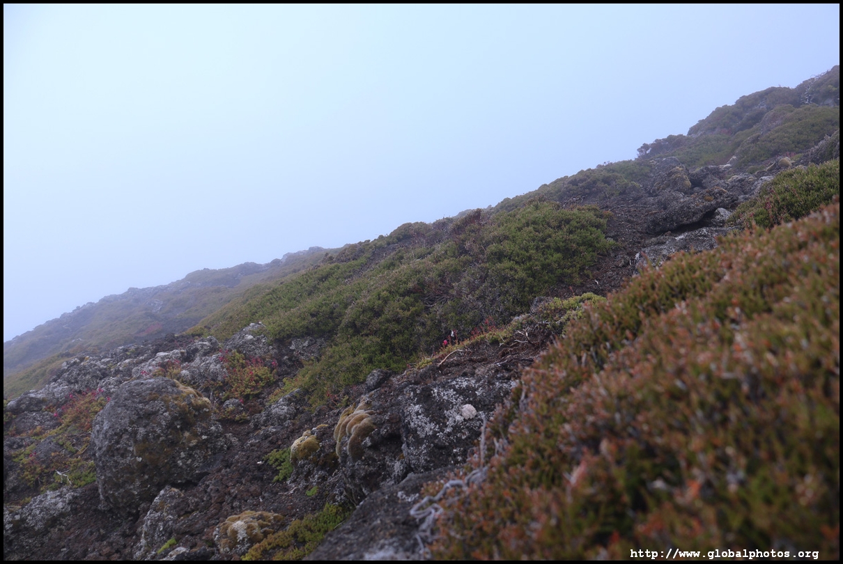
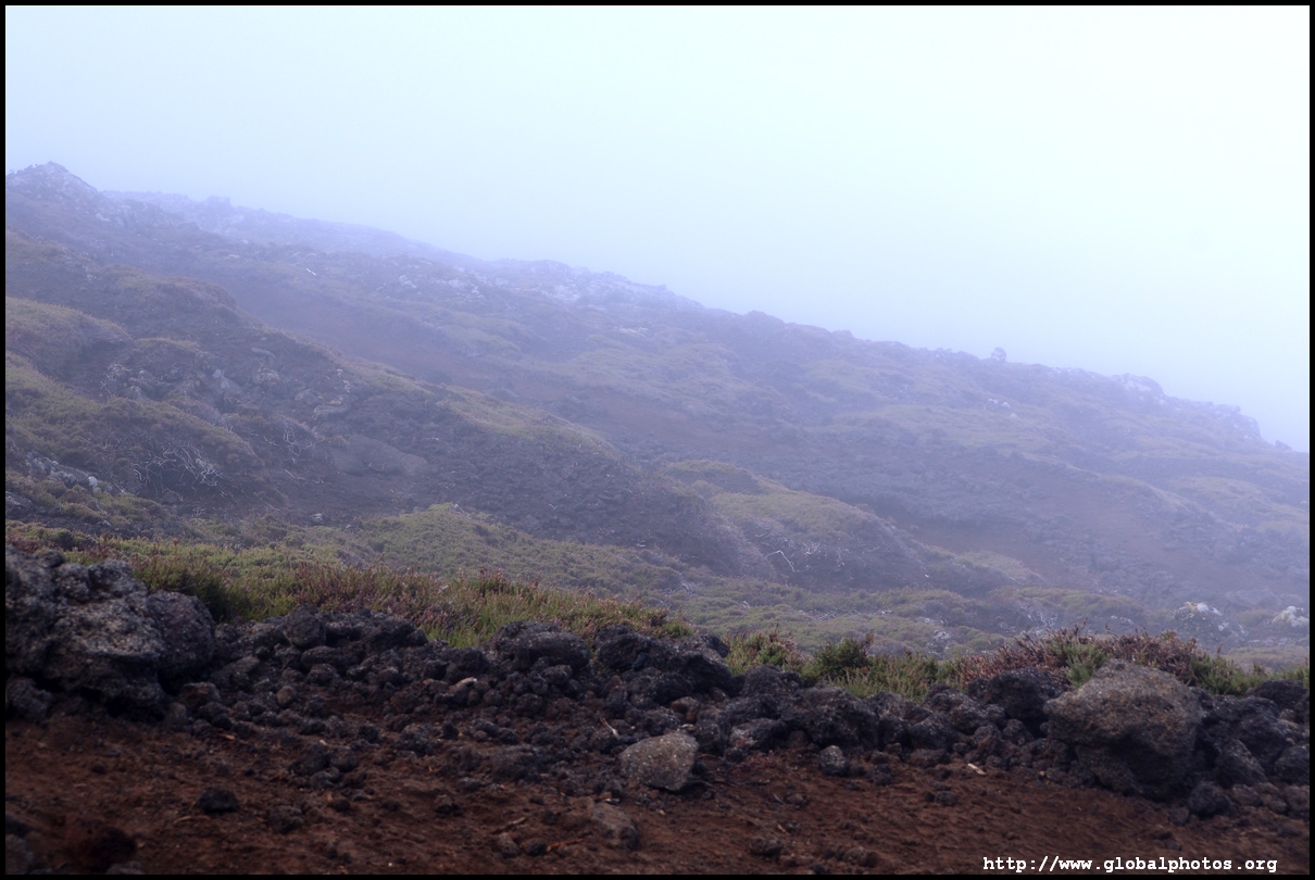
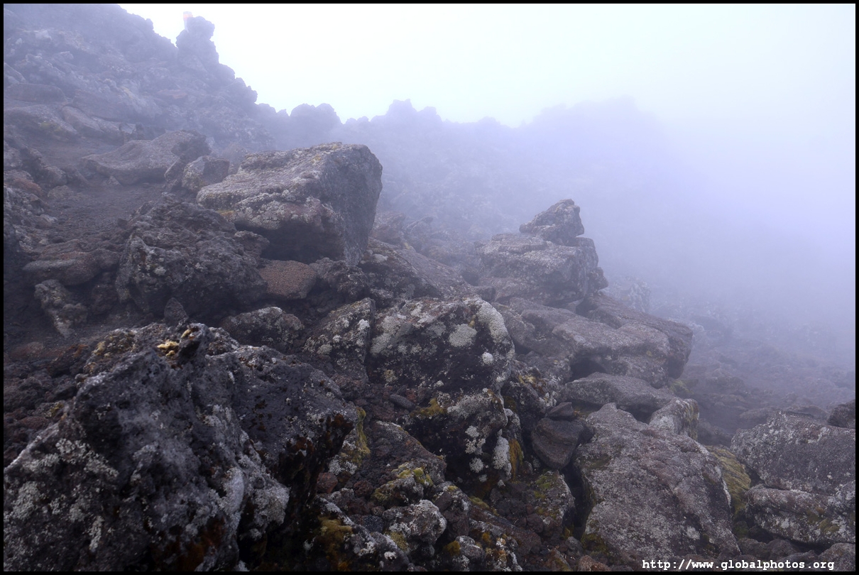
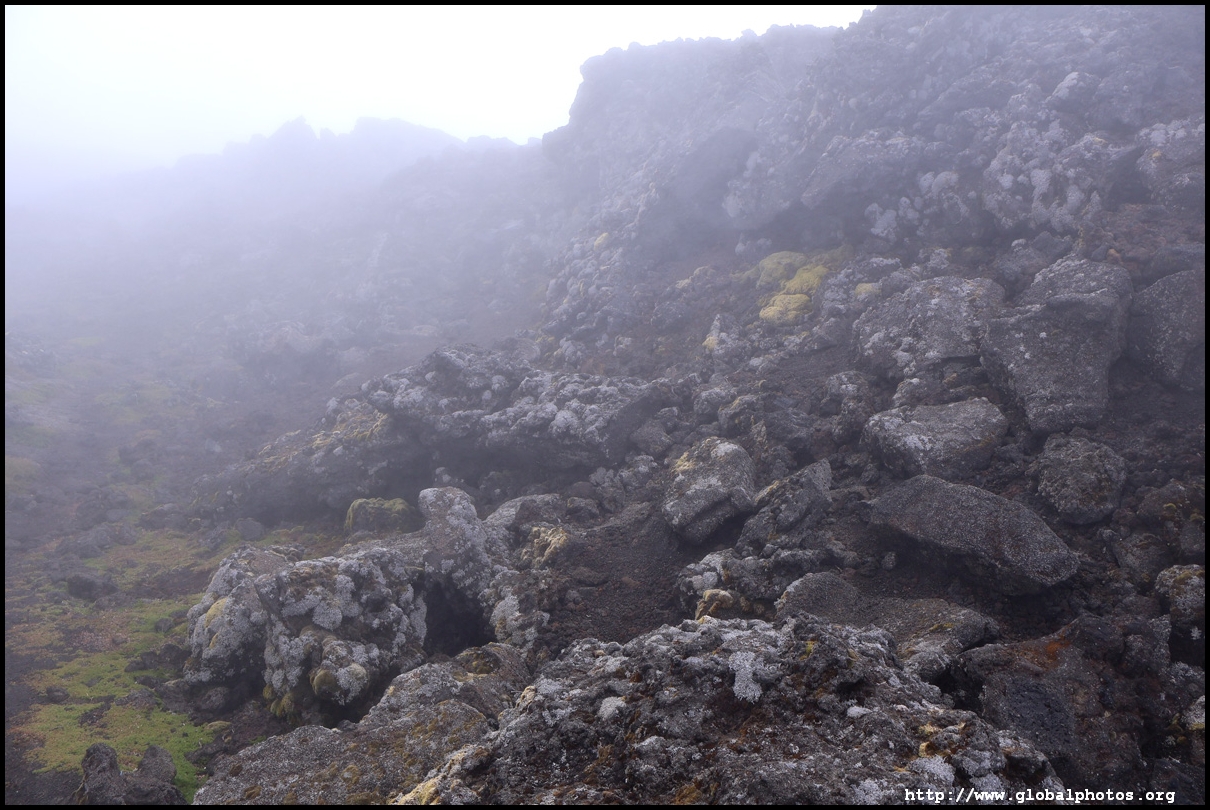
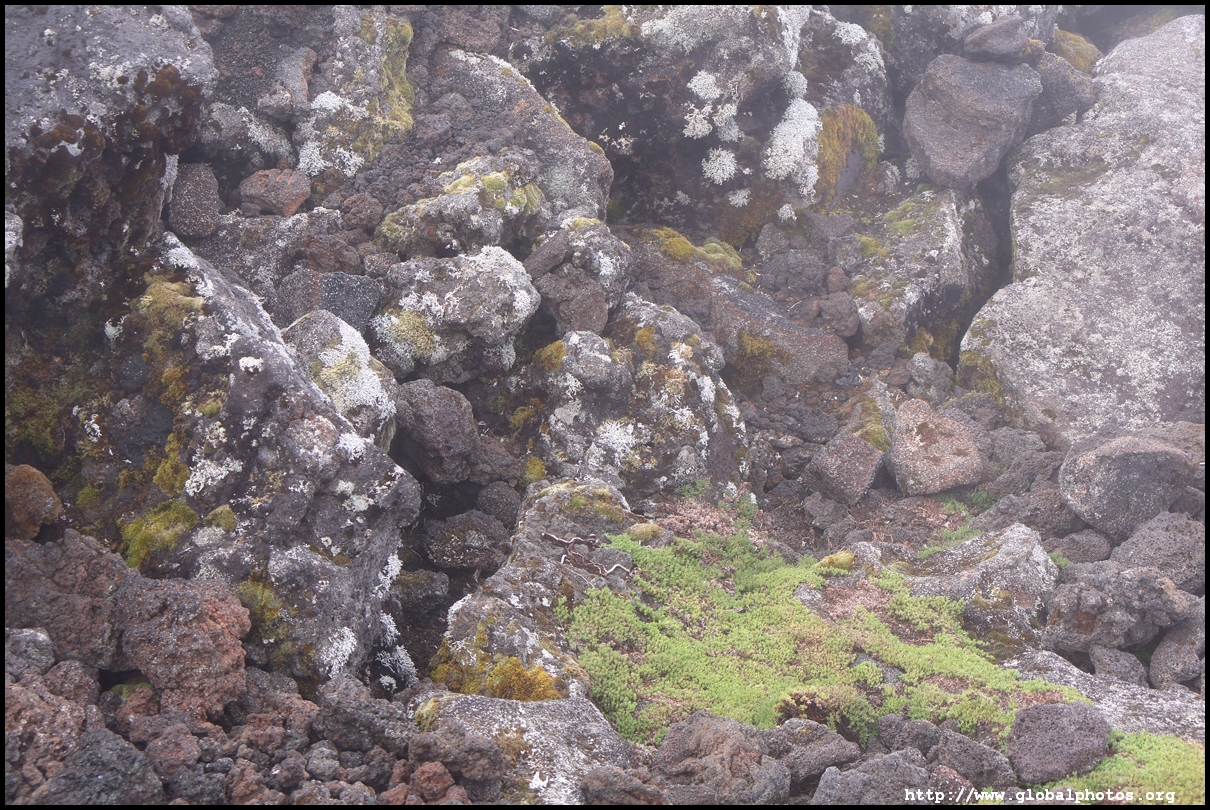
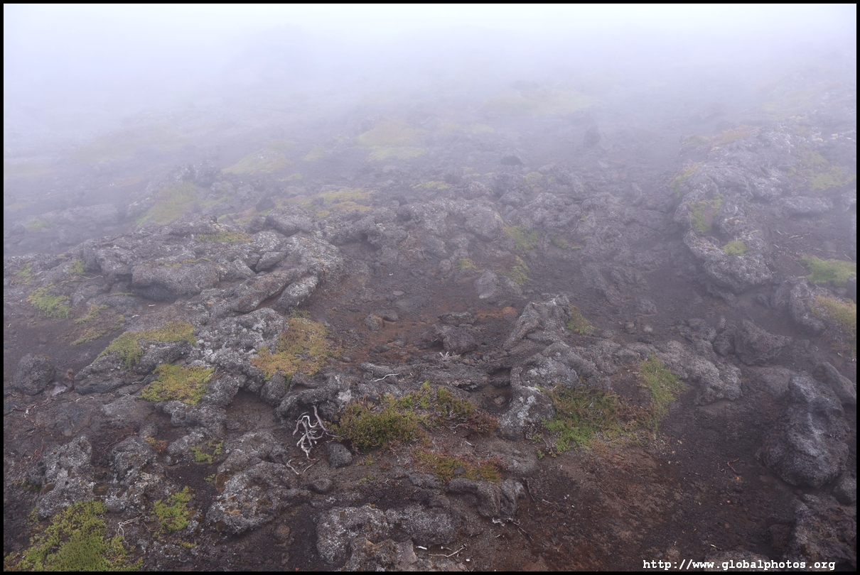
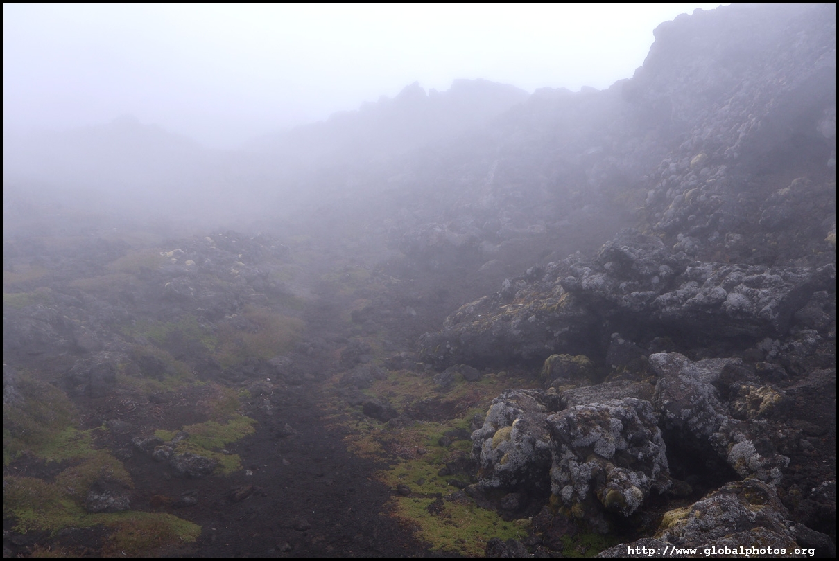
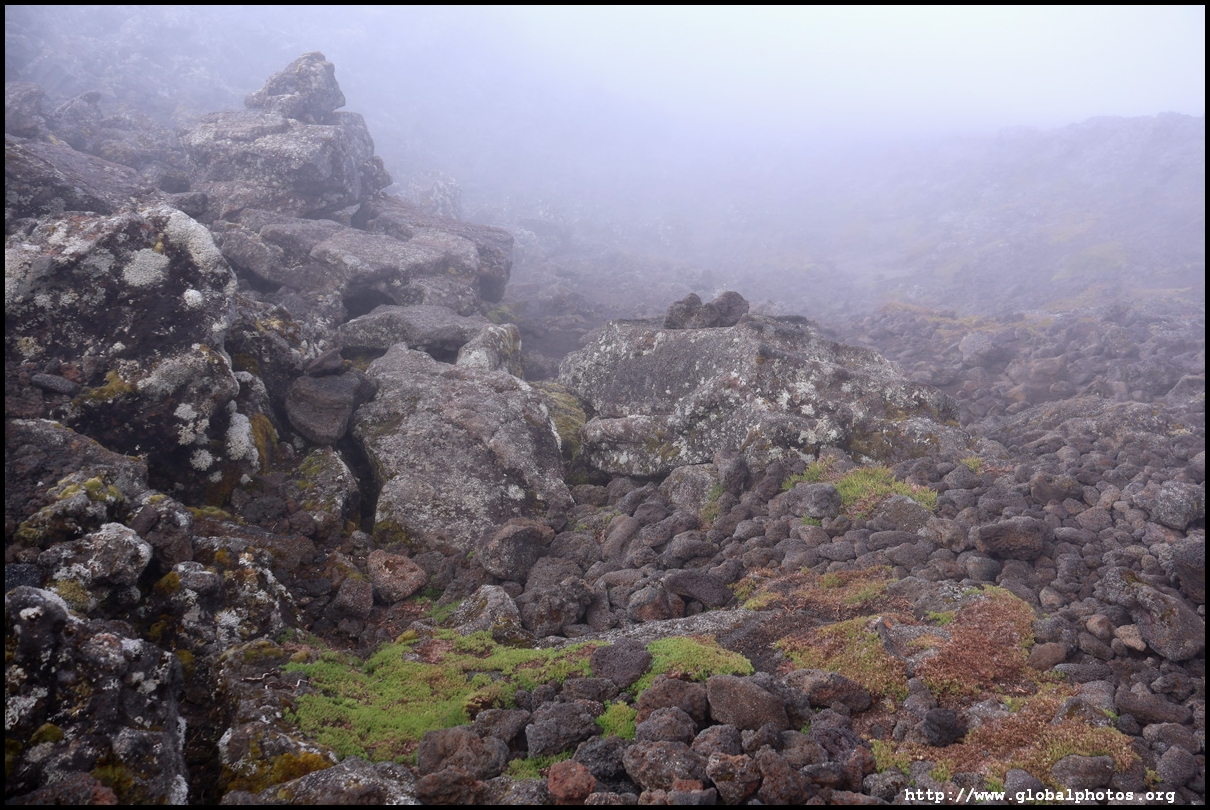
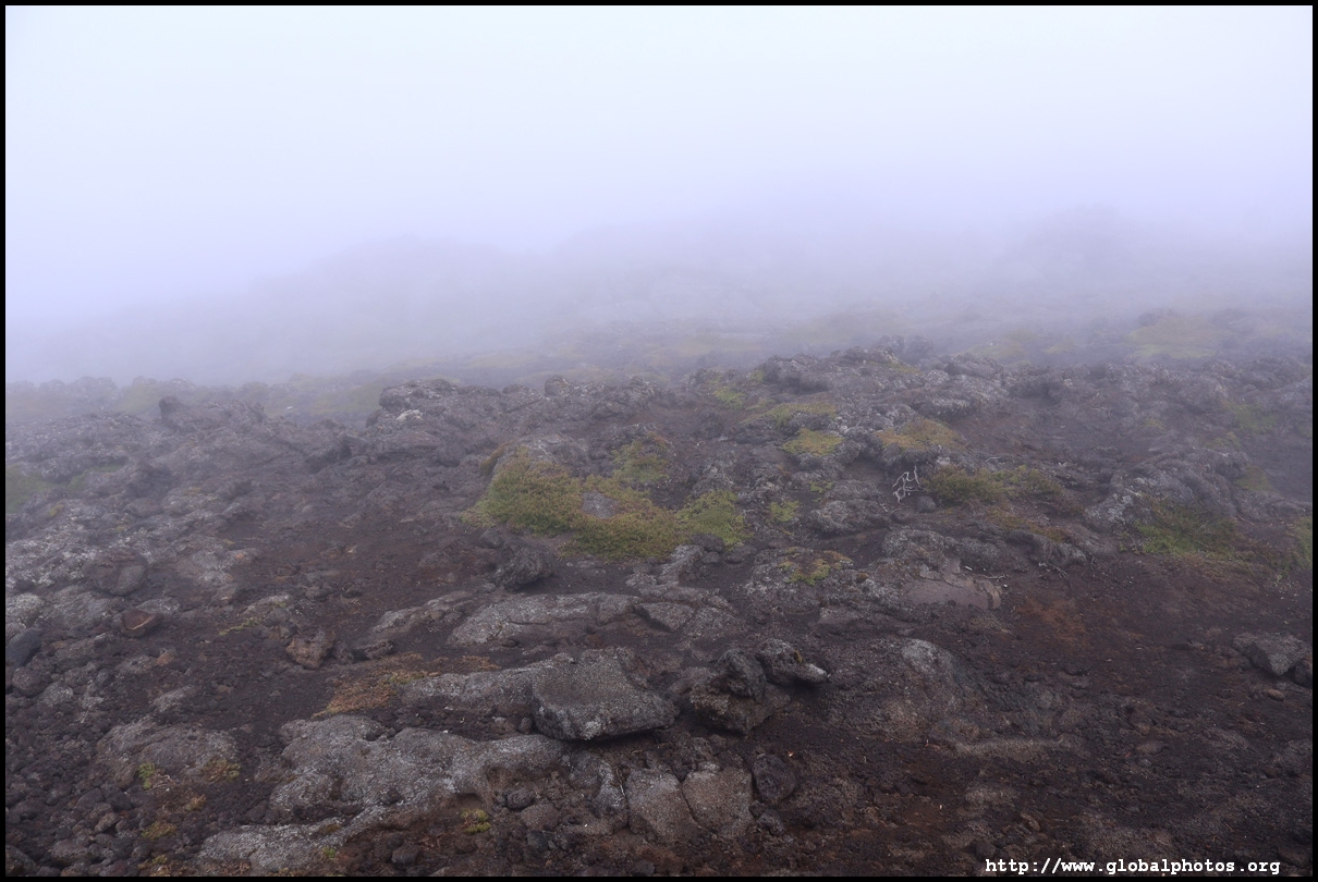
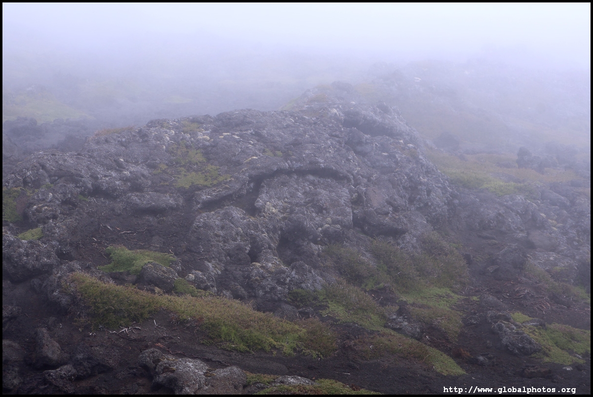
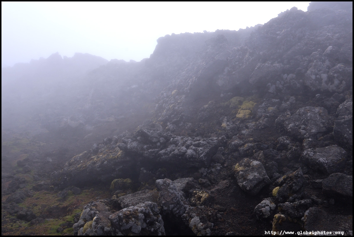
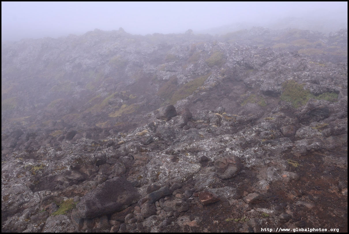
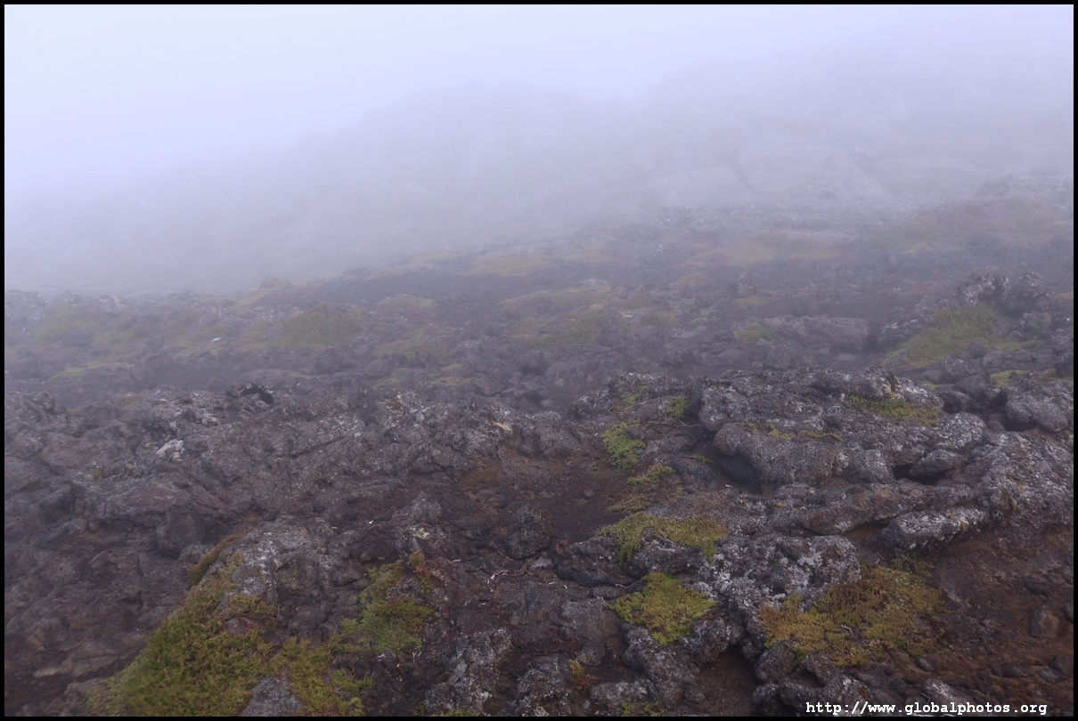
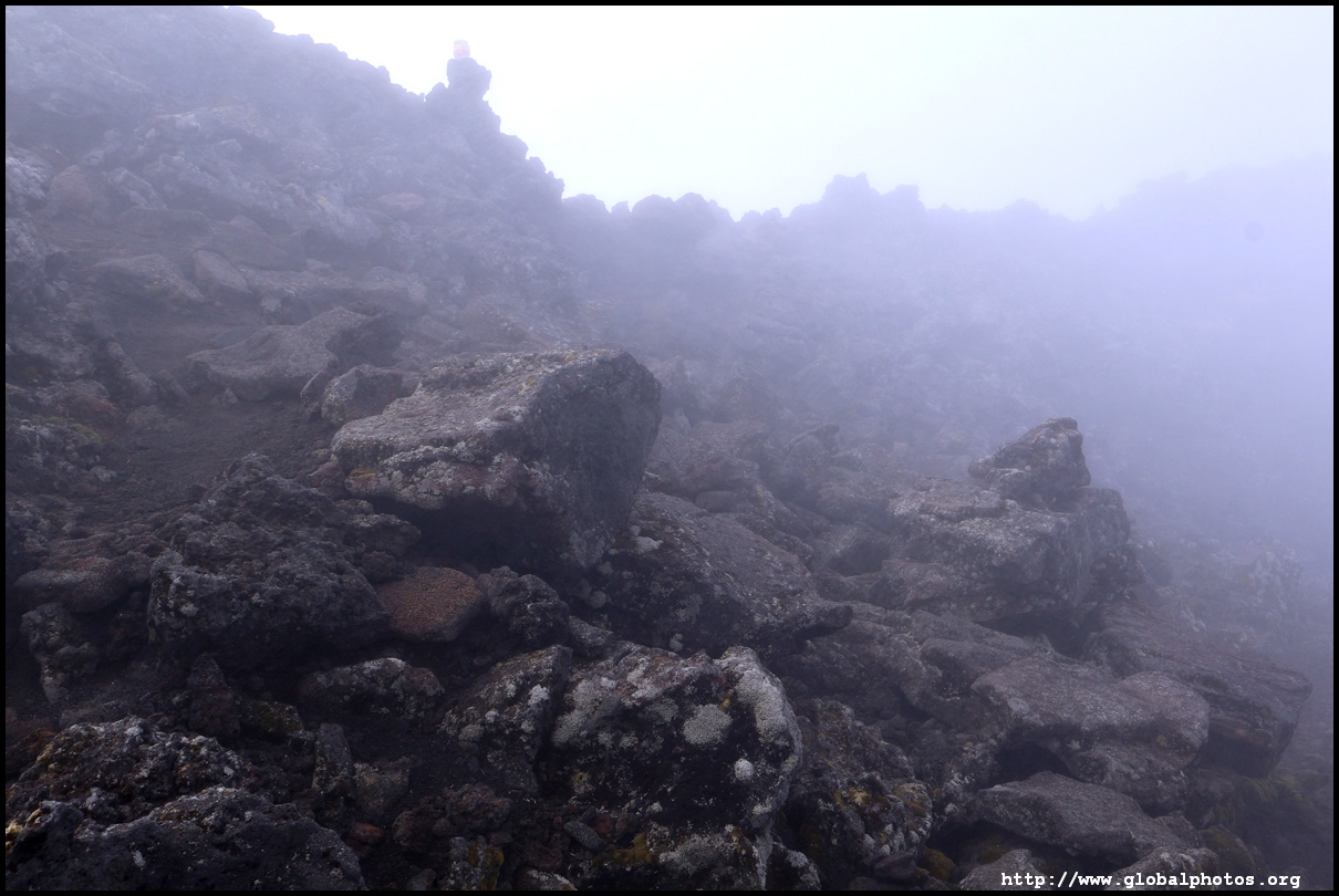
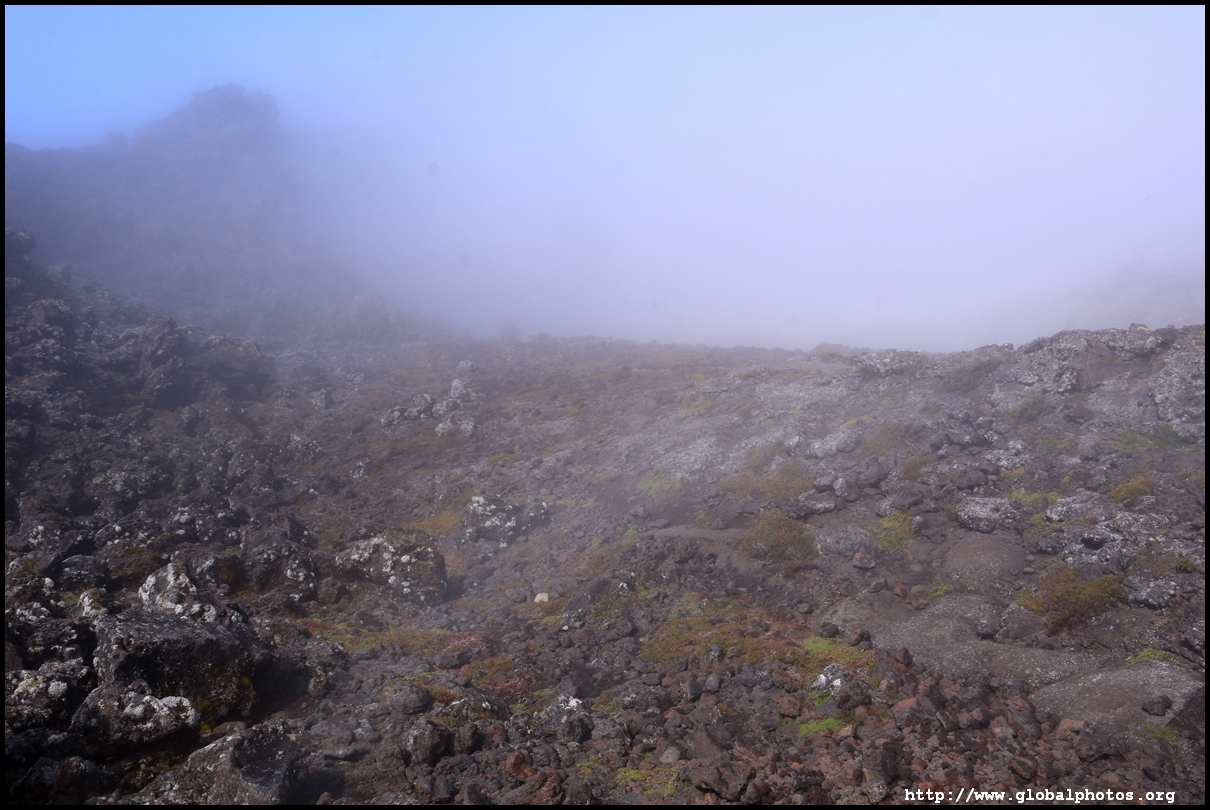
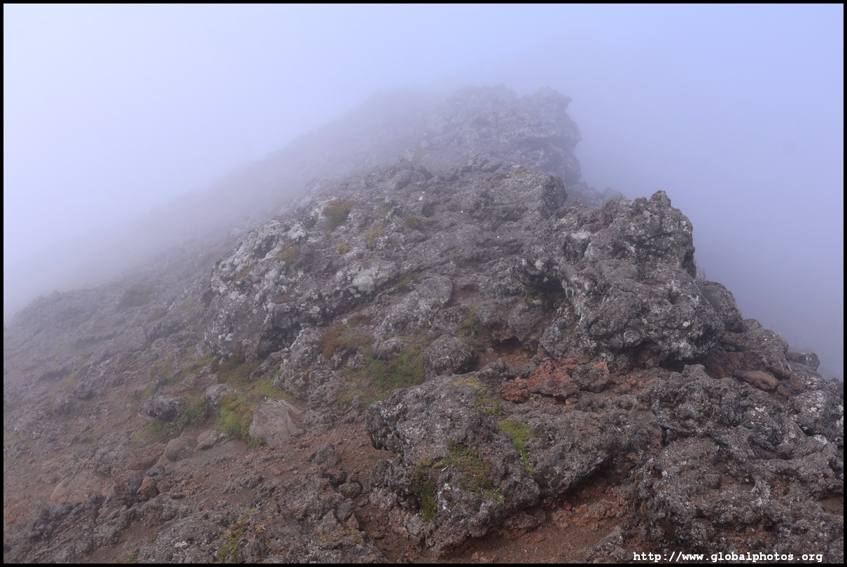
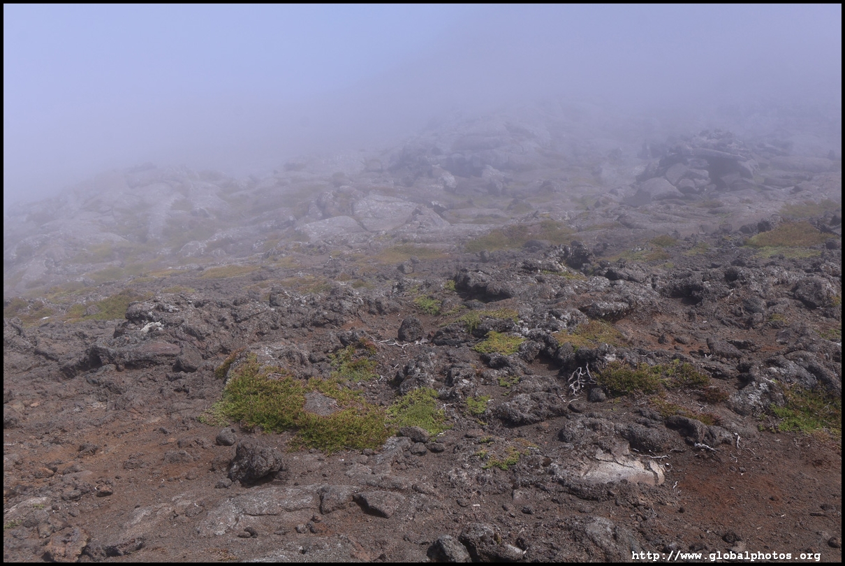
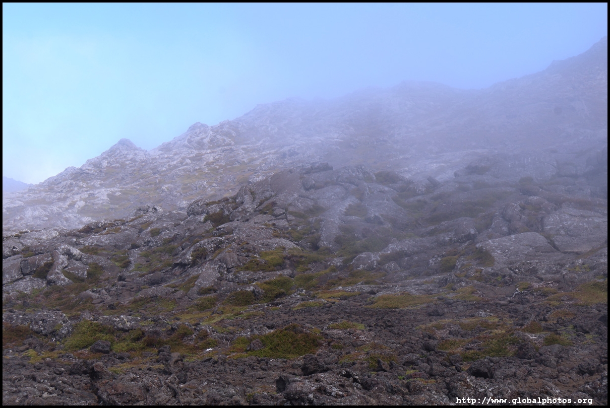
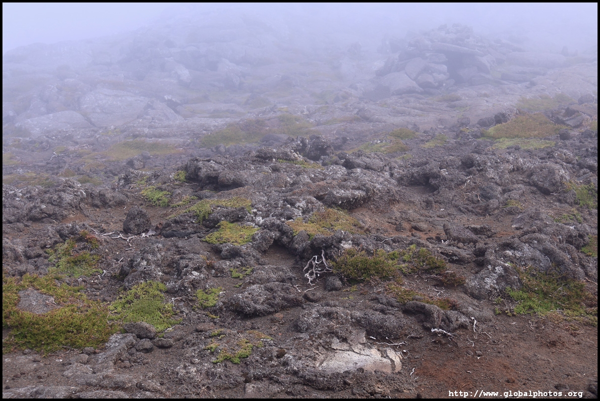
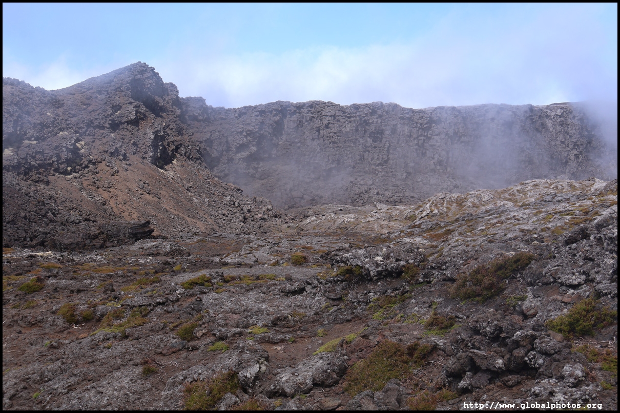
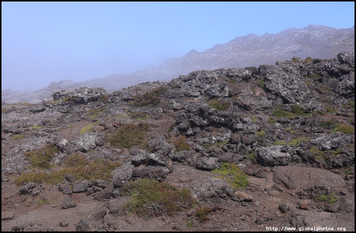
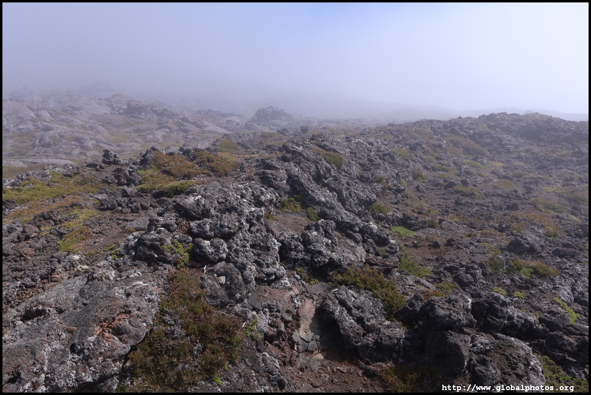
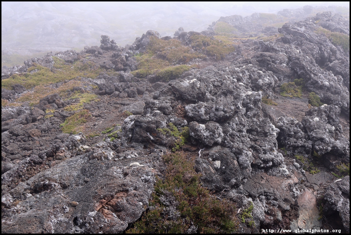
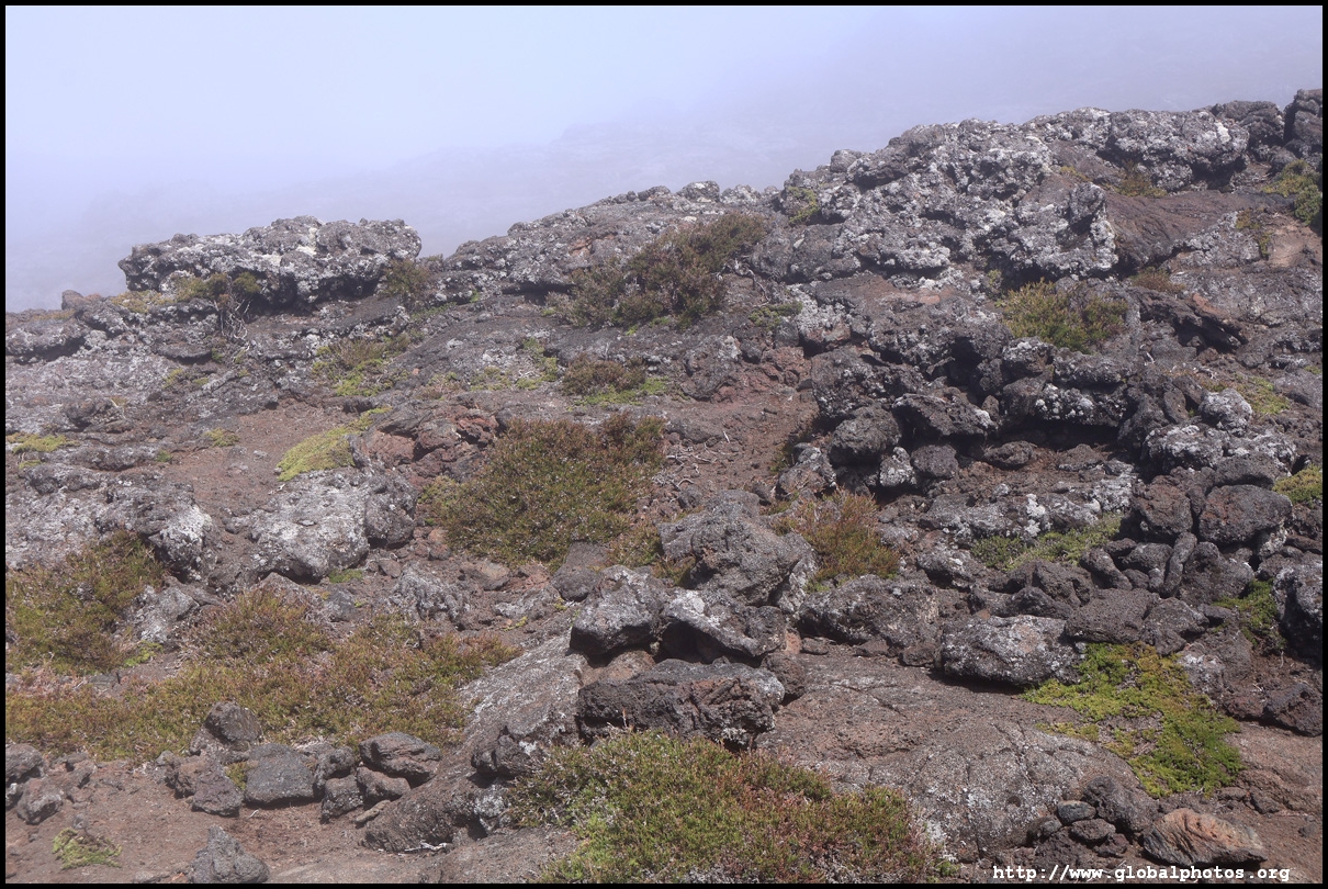
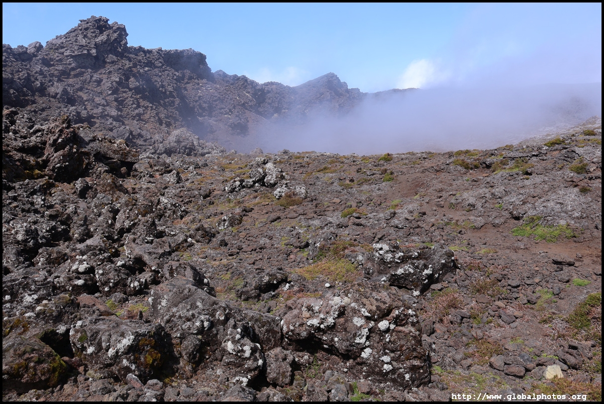
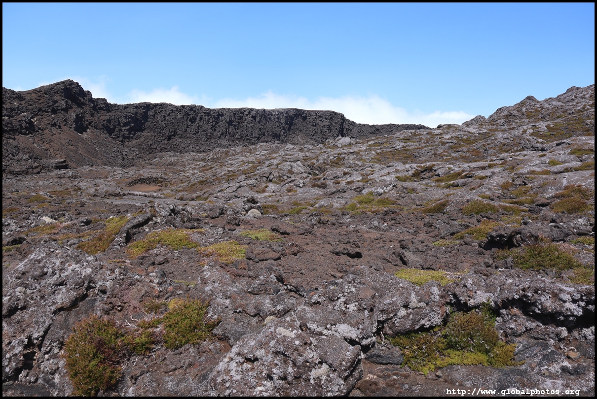
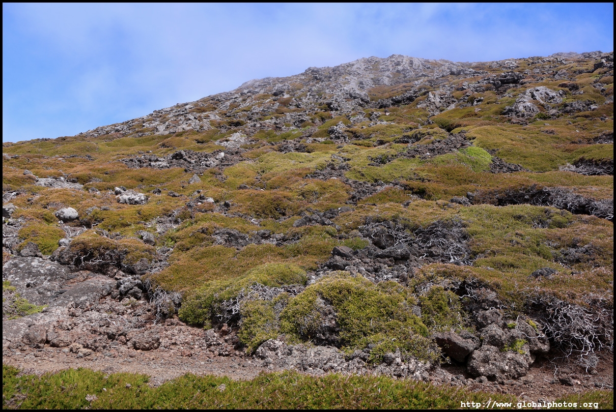
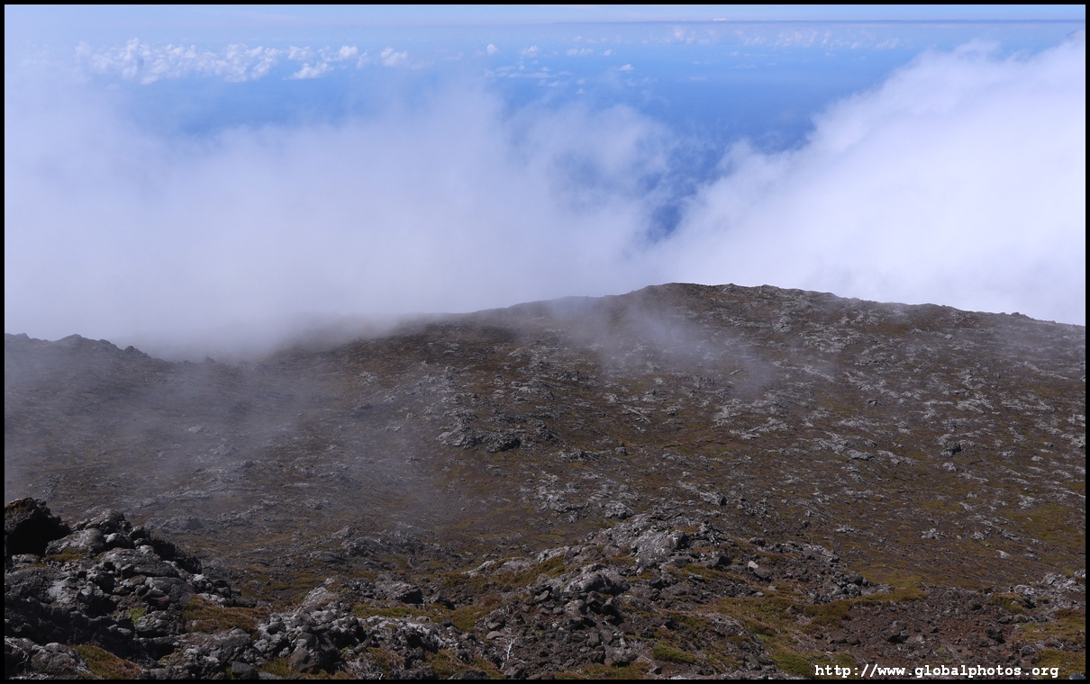
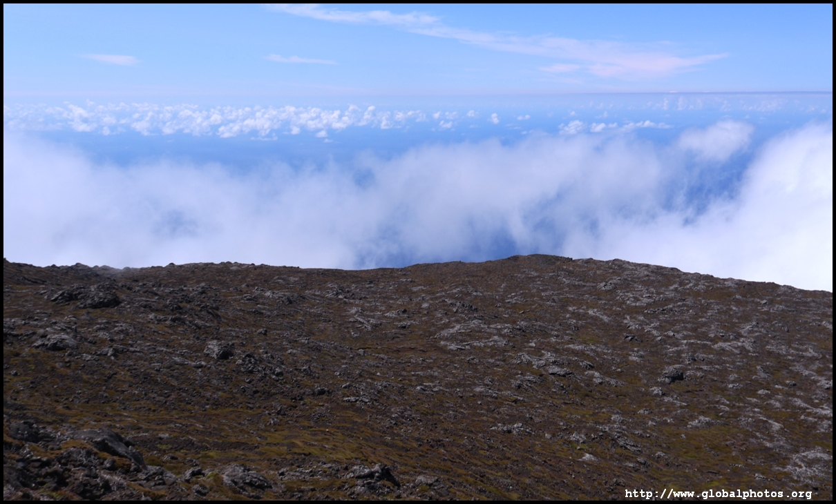
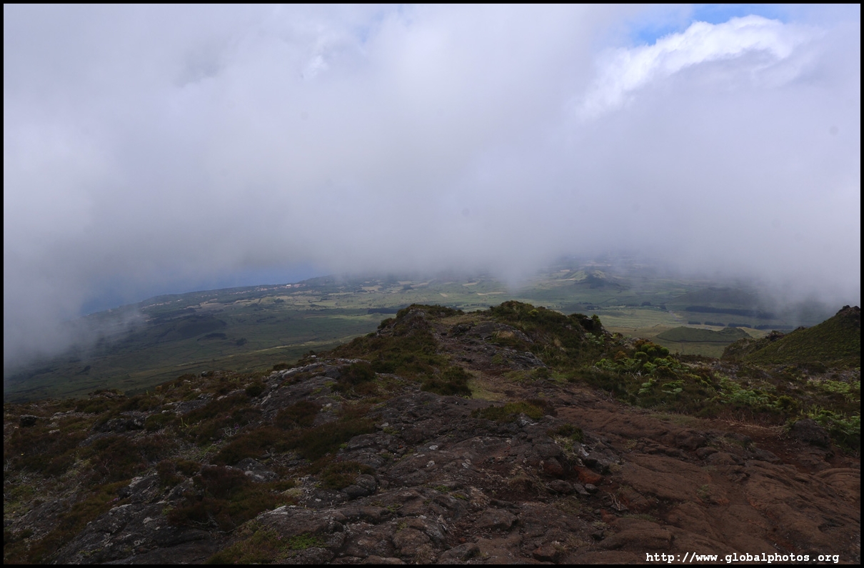
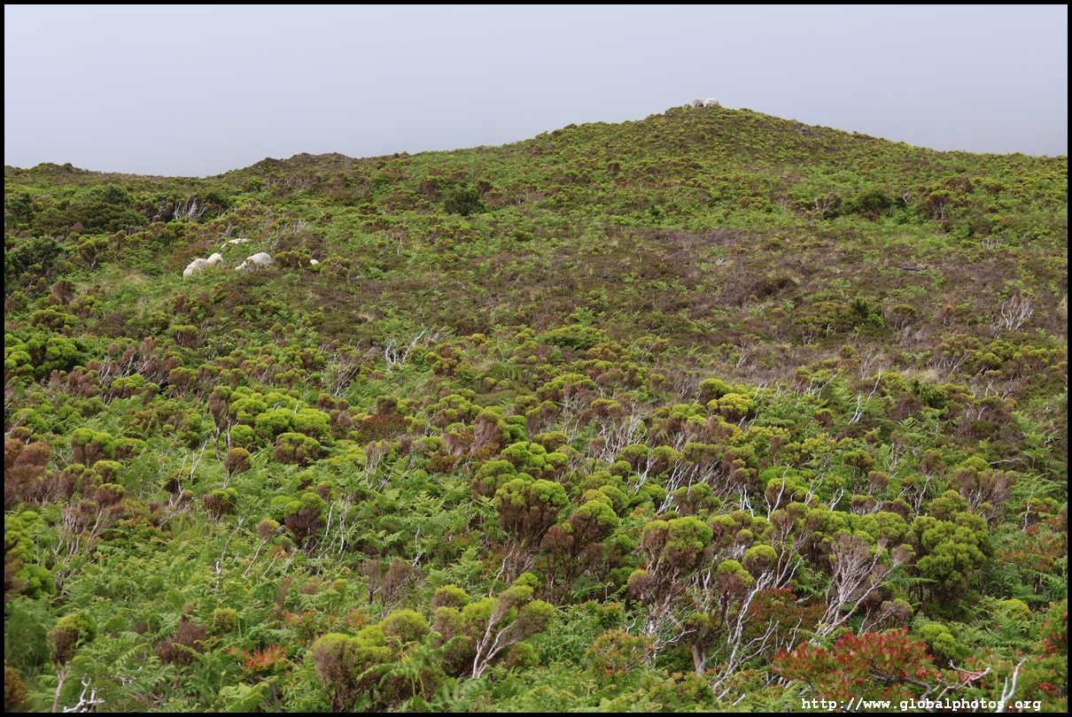
The hike was gruelling, and having done a lot of hikes in Hong Kong over the years, this one was by far the toughest. The hiking poles helped significantly to navigate the uneven and steep rocky landscape, and soon I reached the cloud level, where it got a lot cooler. A waterproof outer layer and proper hiking boots are mandatory to hike this volcano, with further layers beneath that you can shed as you warm up during the climb. Put on and re-apply sunscreen as there is no shade at all. Visibility was next to none by the time I reached the crater just beneath the top. I decided not to make the final scramble to the very top amidst the weather.
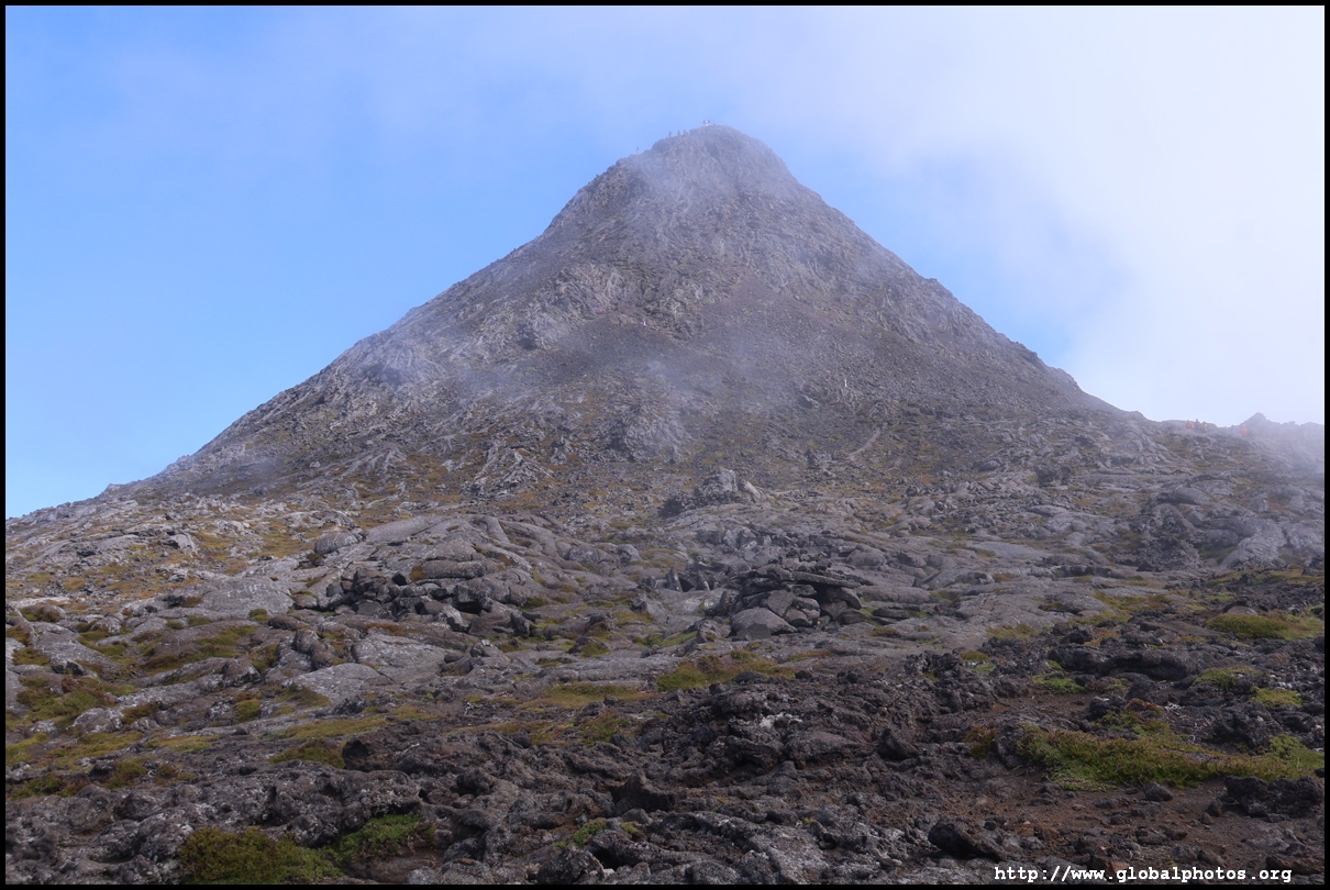
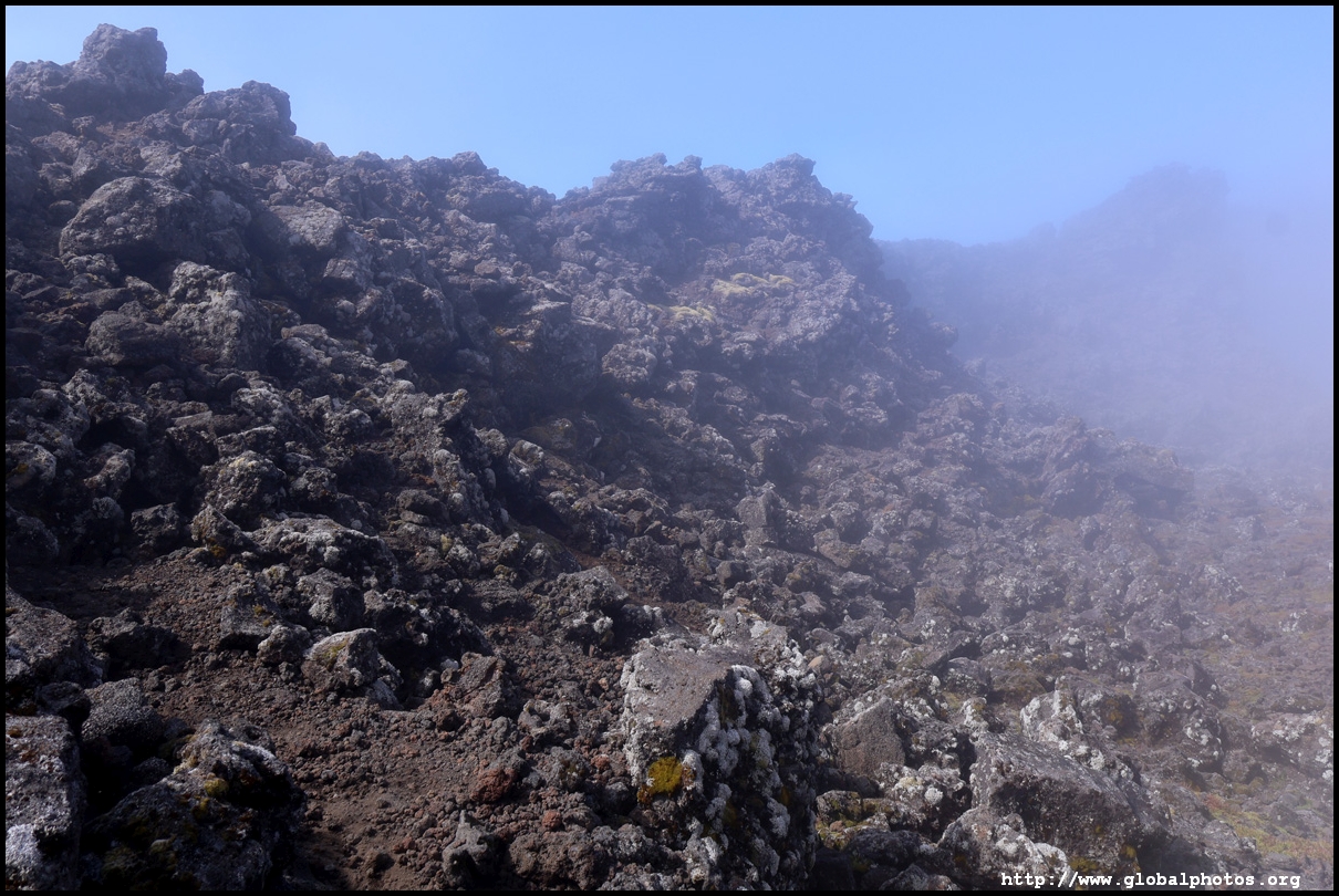
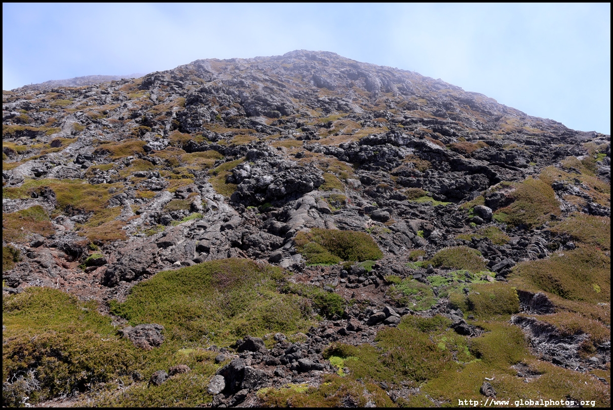
However, mountain weather can change quickly. The clouds and fog suddenly cleared and the top of Pico came into view.
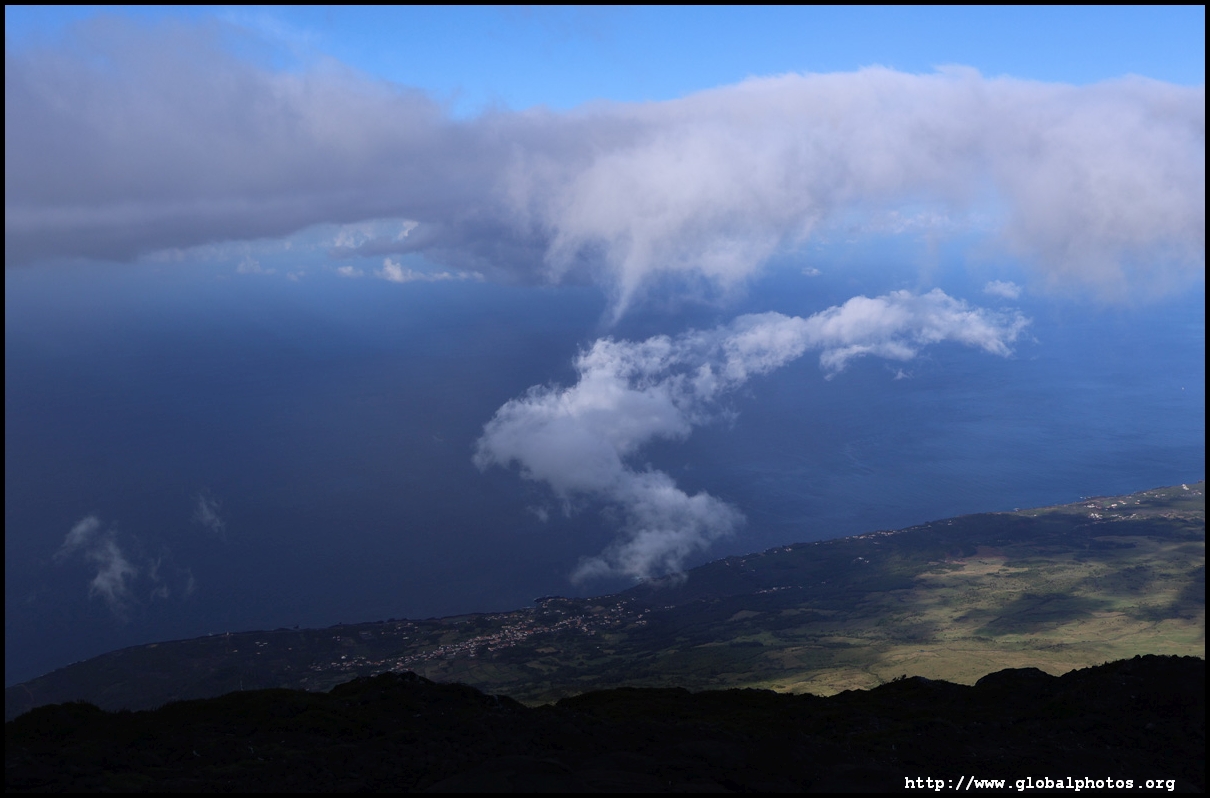
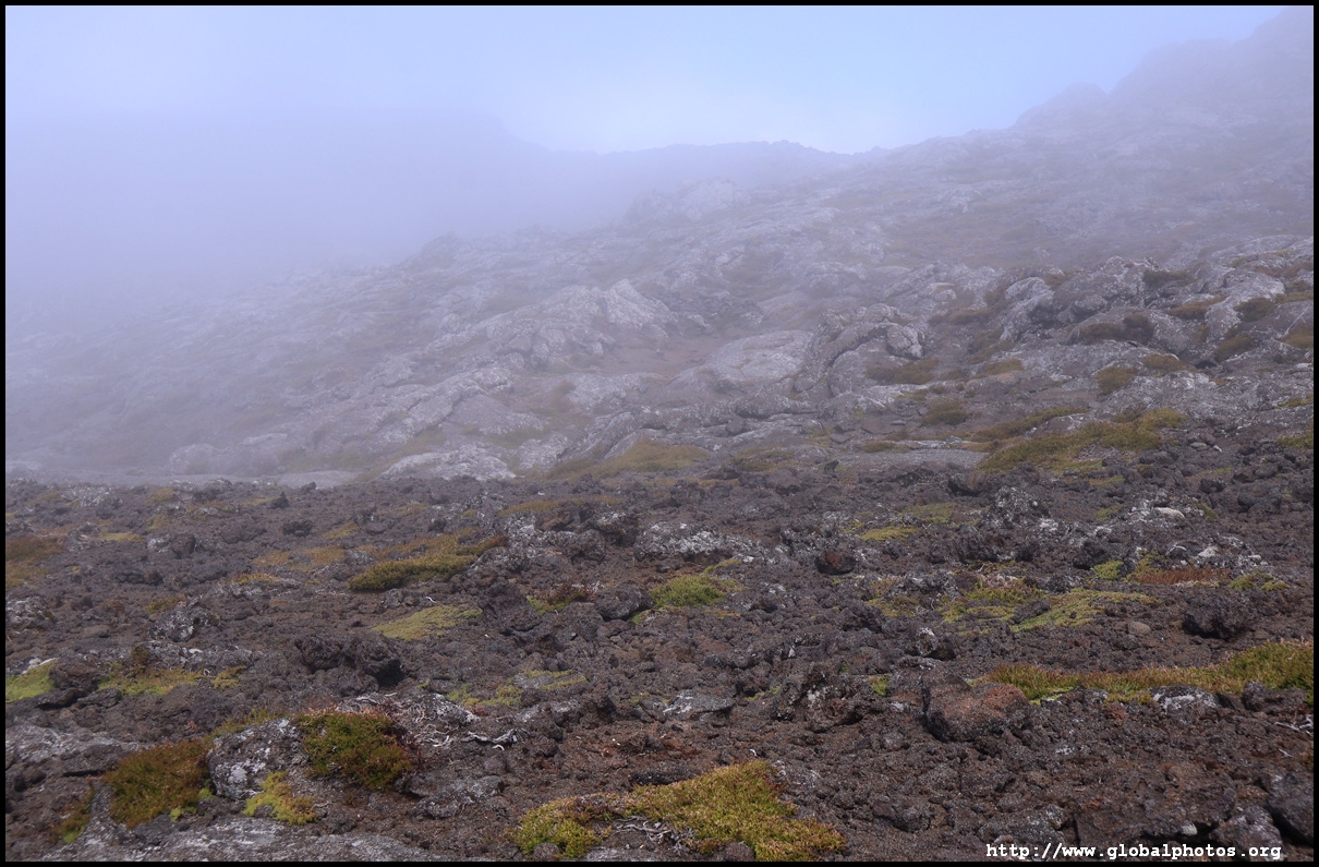
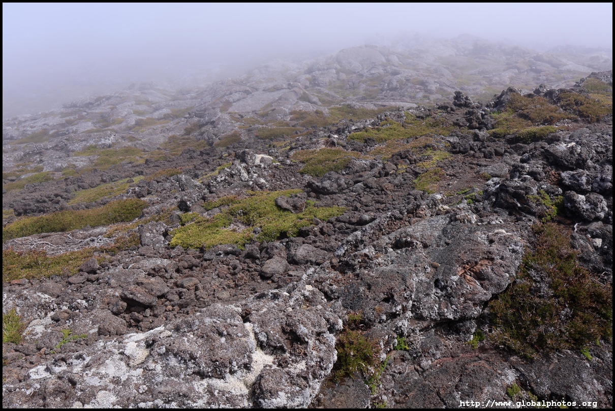
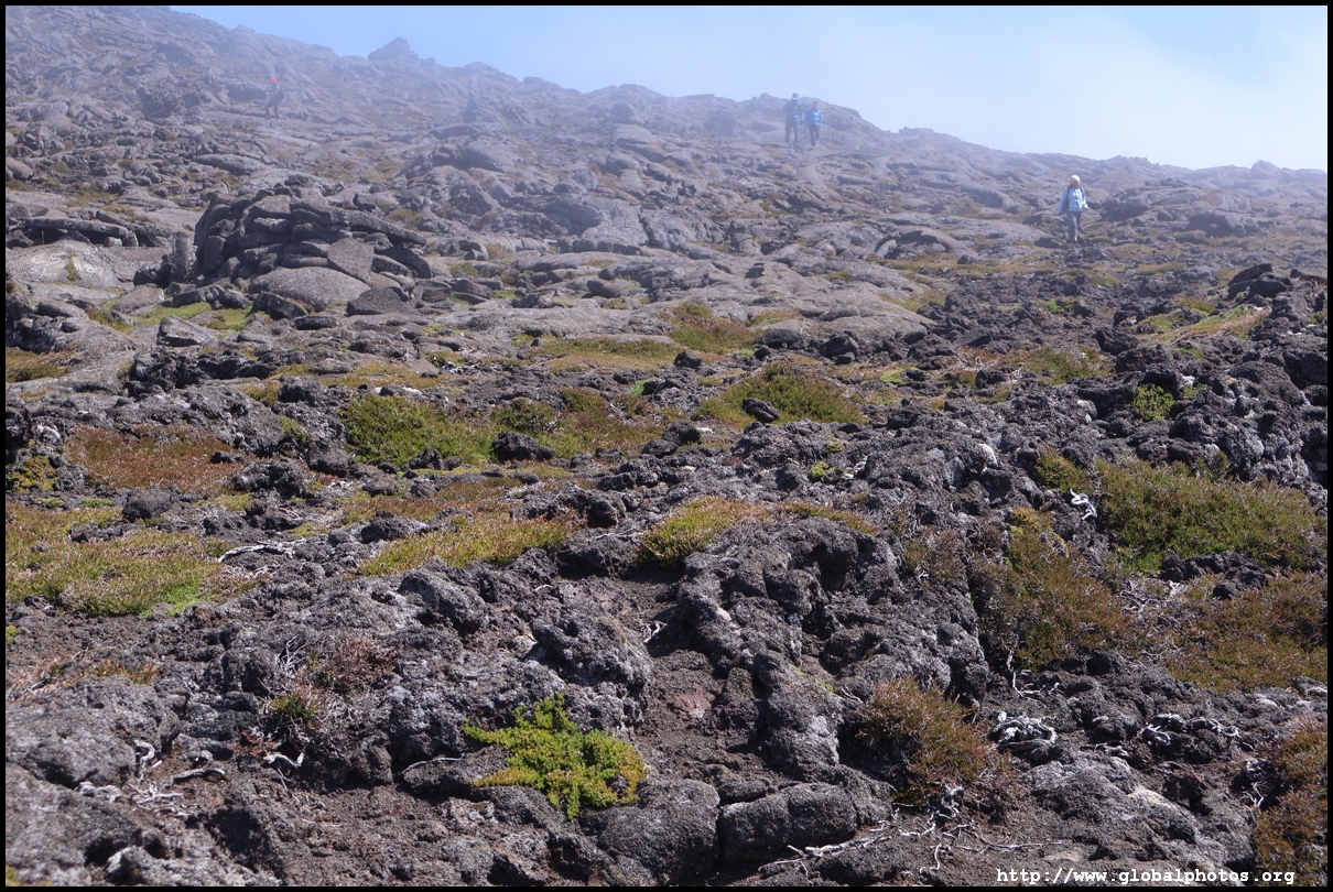
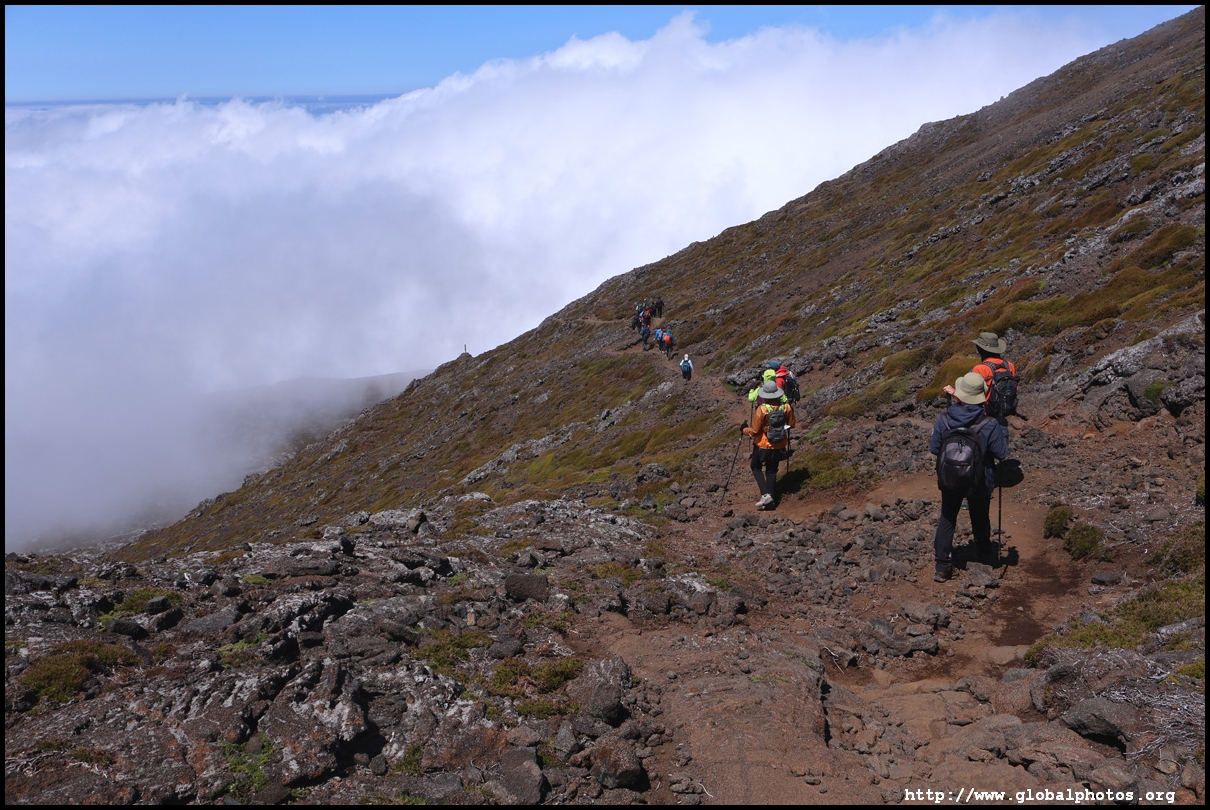
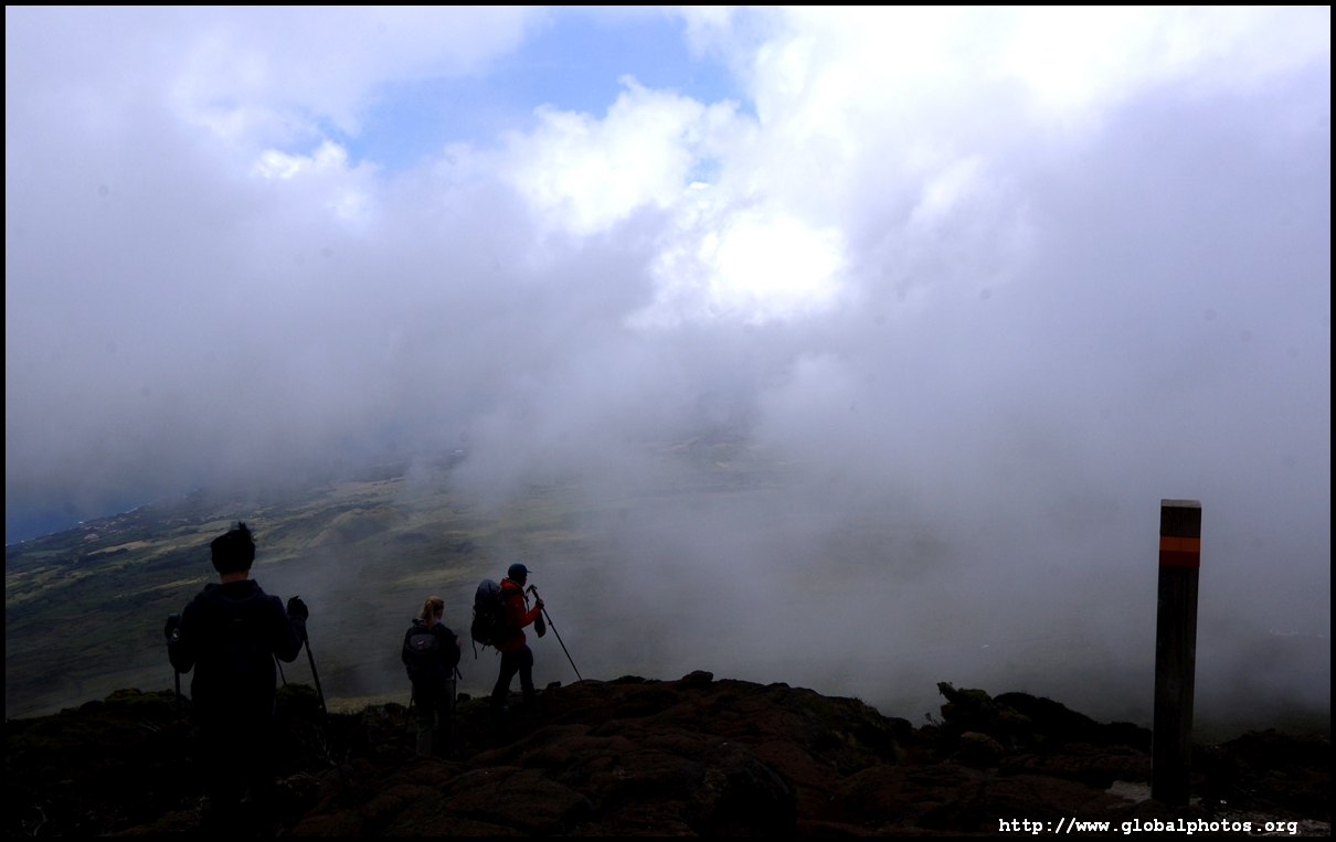
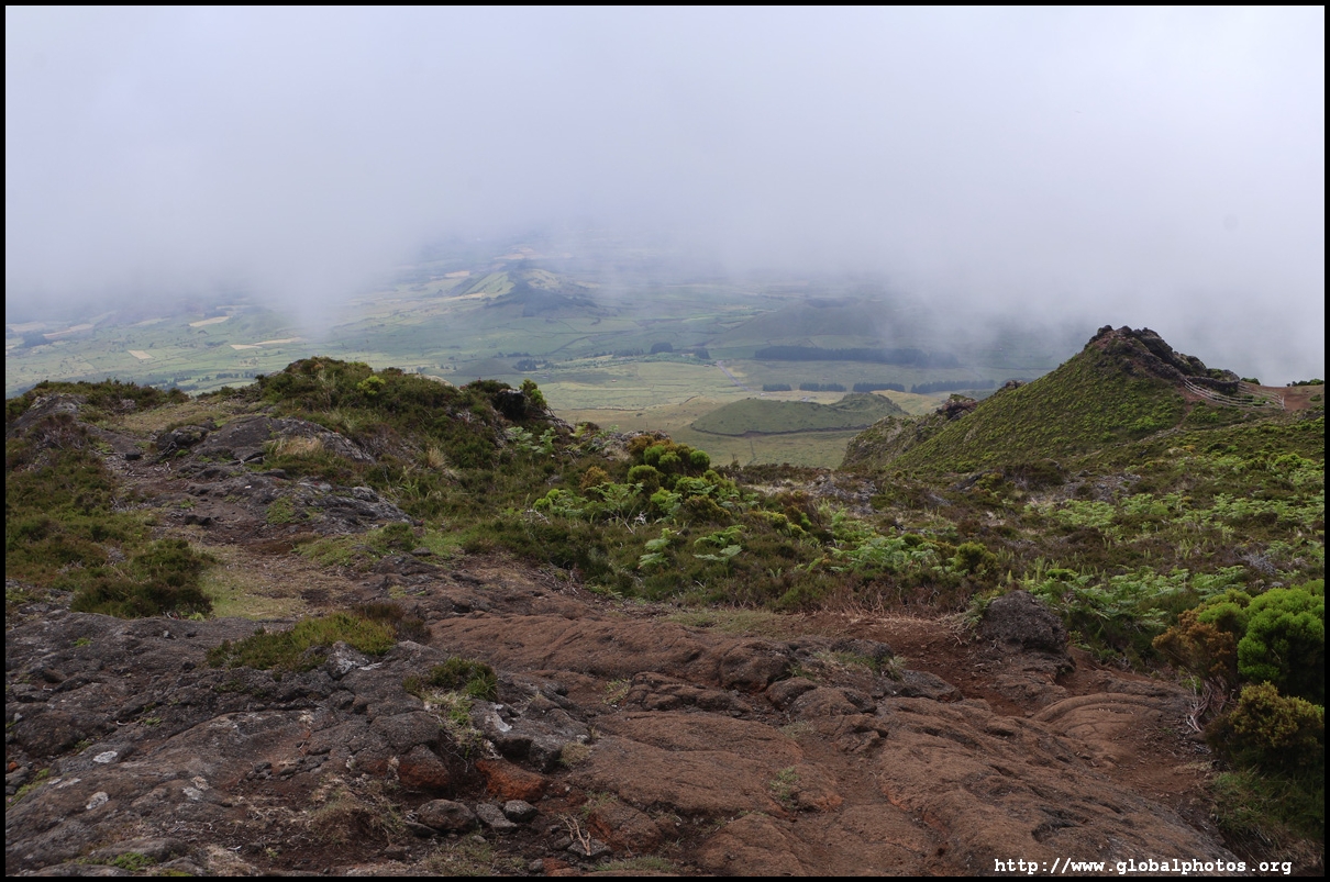
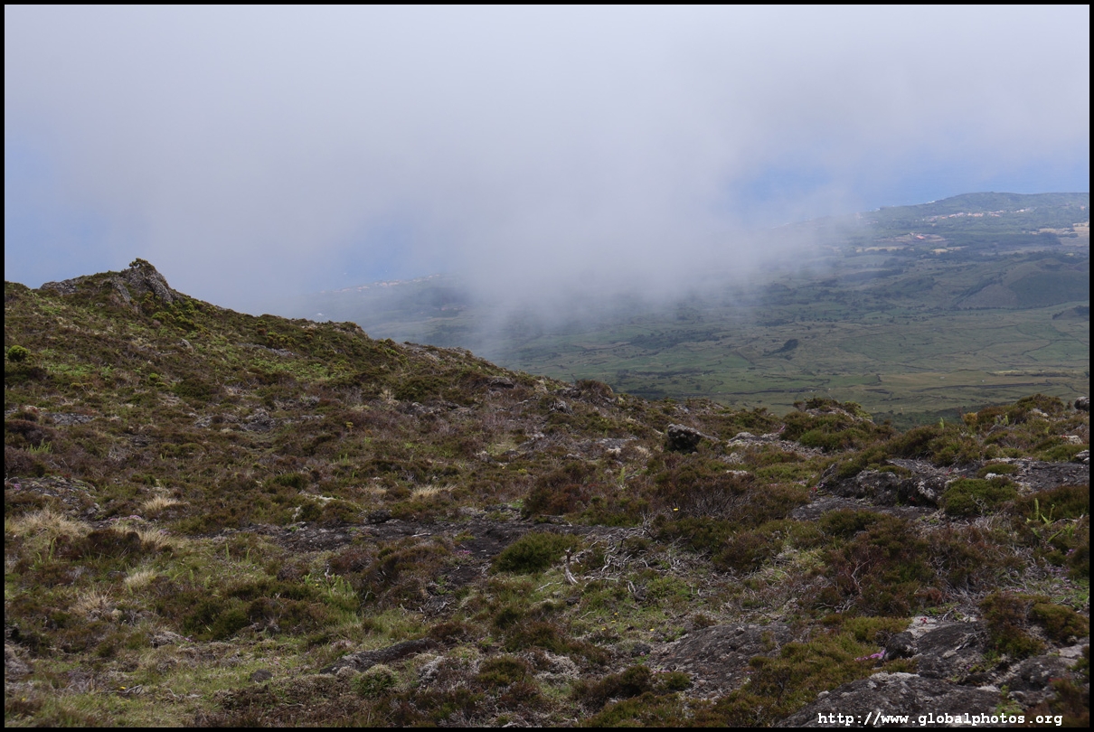
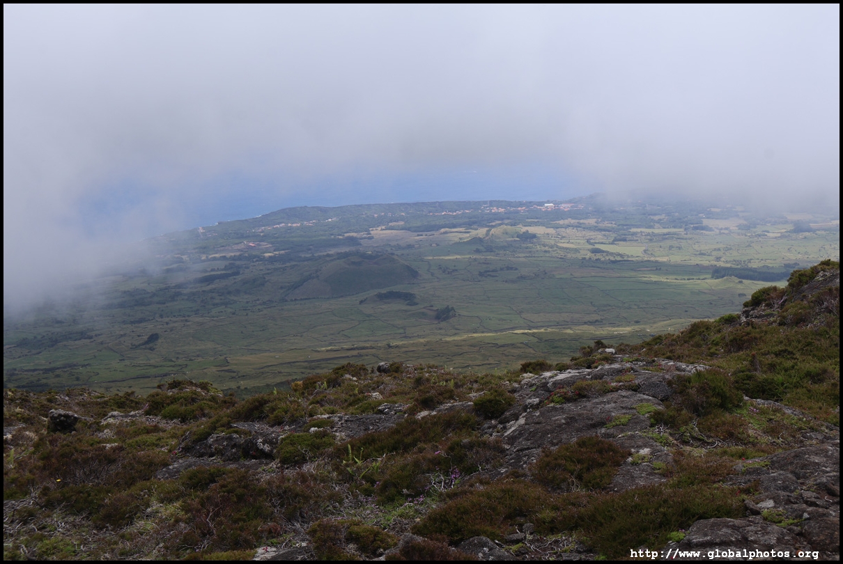
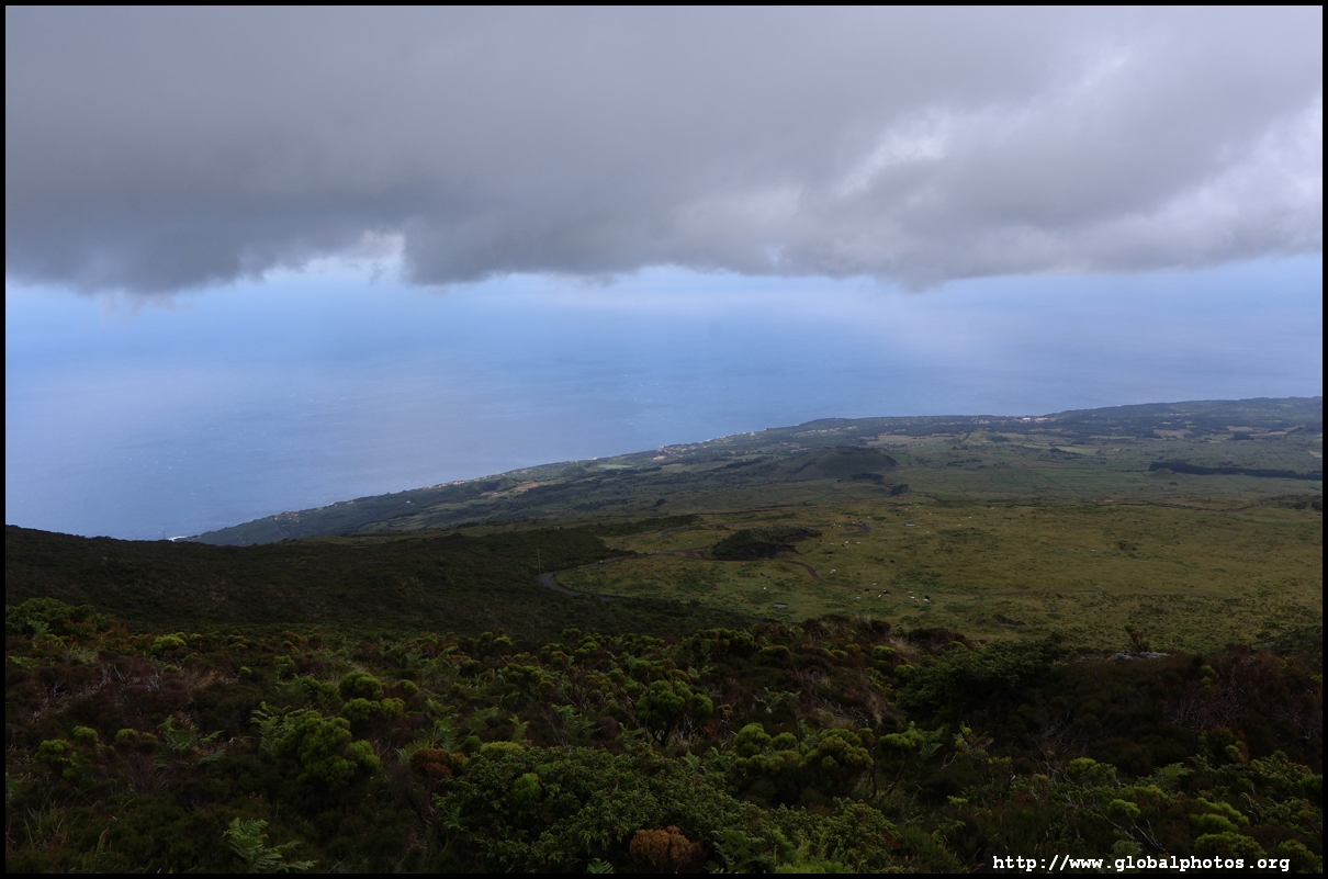
The trek up took over 3 hours and after a lunch break, it was time to head back down, which would be actually tougher than going up since it puts a lot more stress on the knees and legs. With the guide leading the way, I descended down towards the cloud layer slowly and steadily.
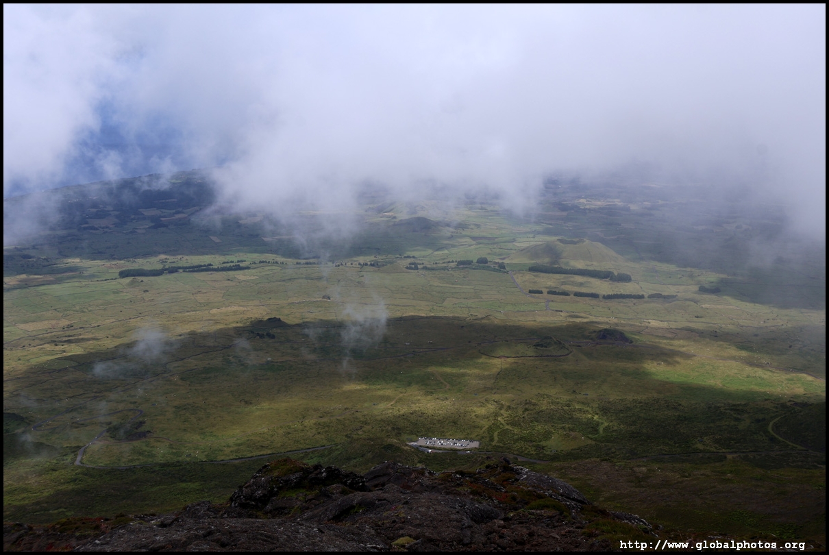
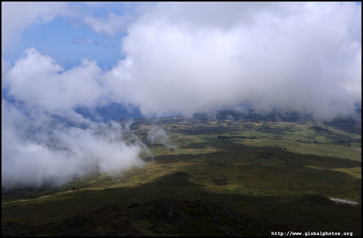
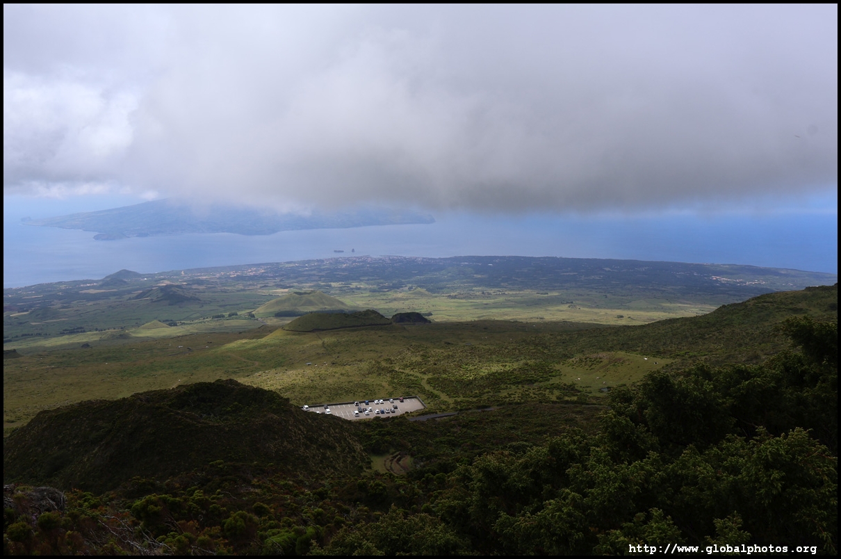
The finish line is the parking lot down below, still a long way to go.
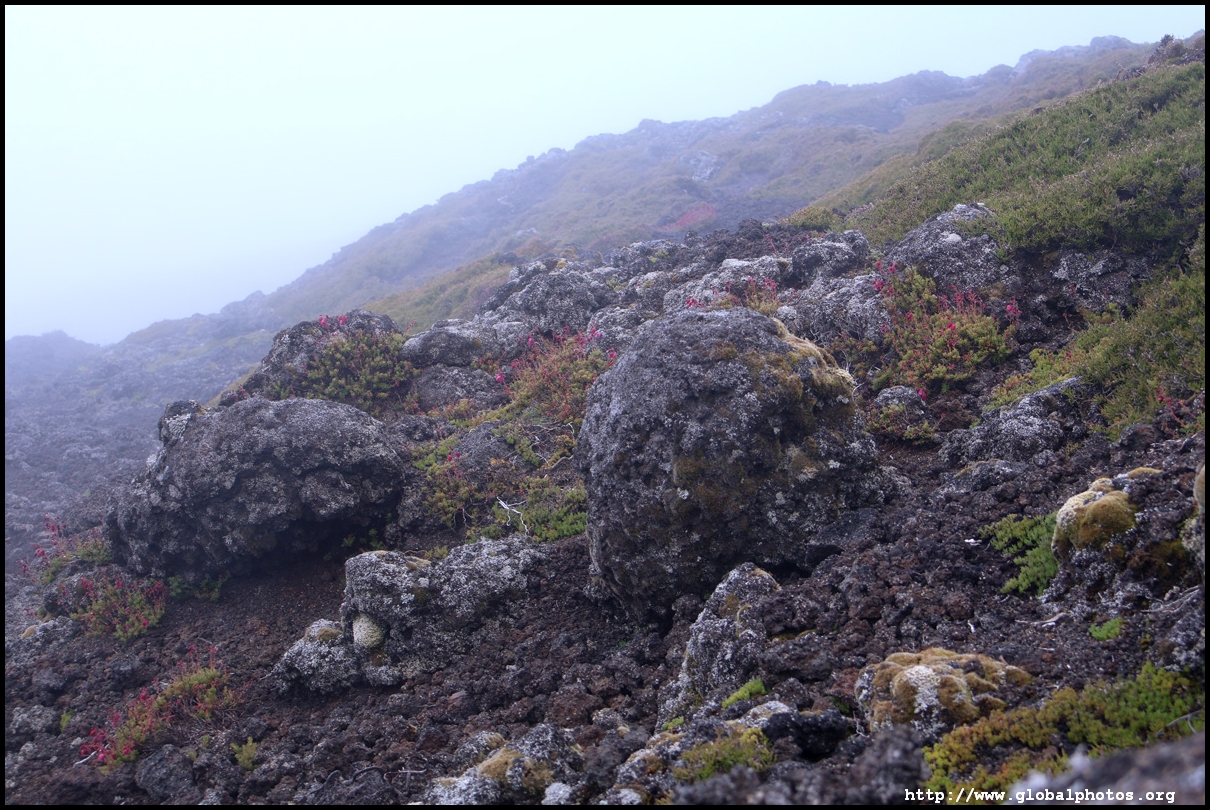
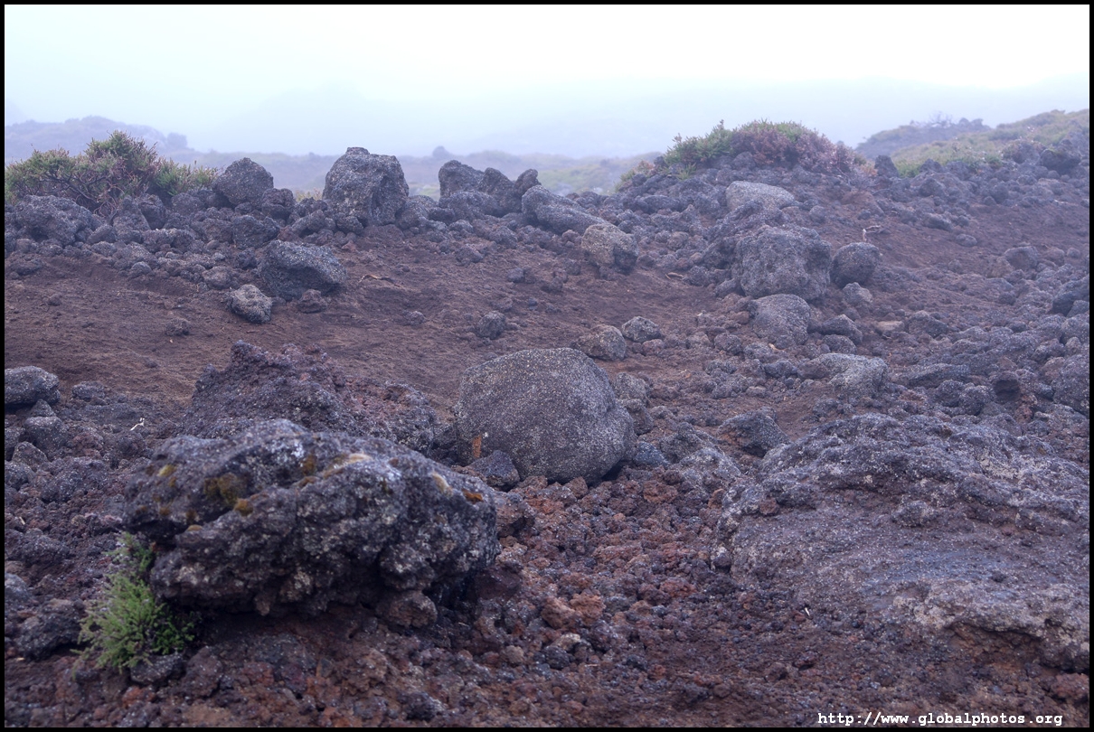
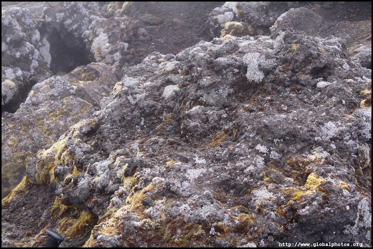
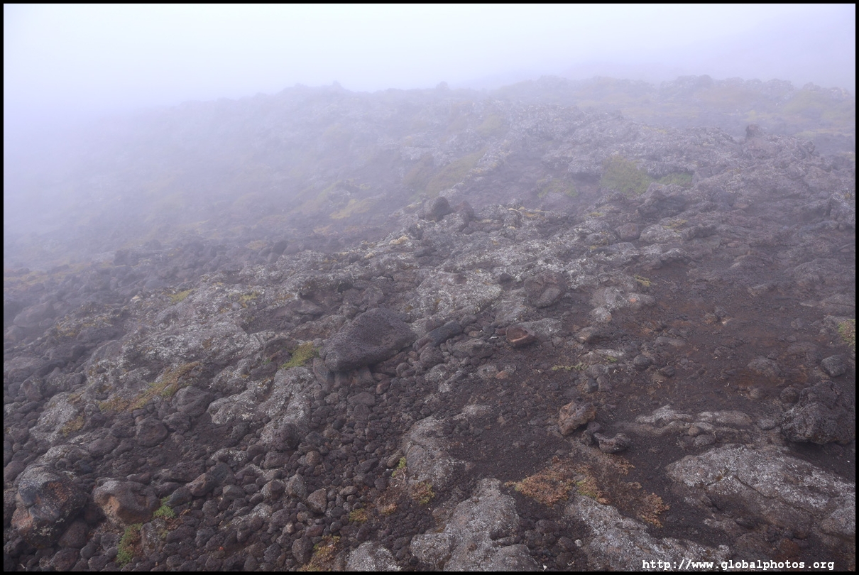
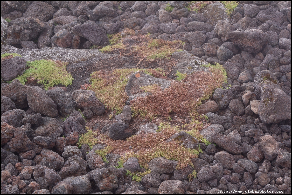
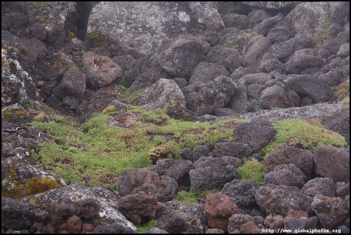
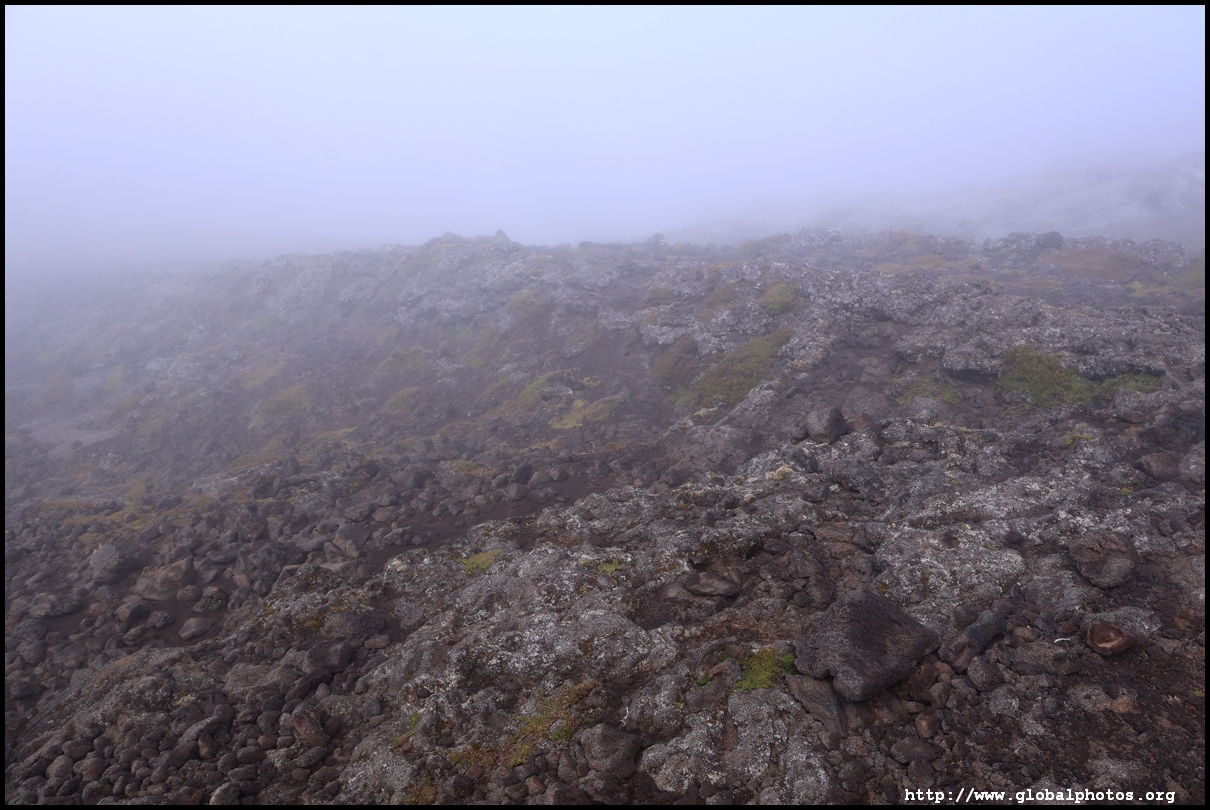
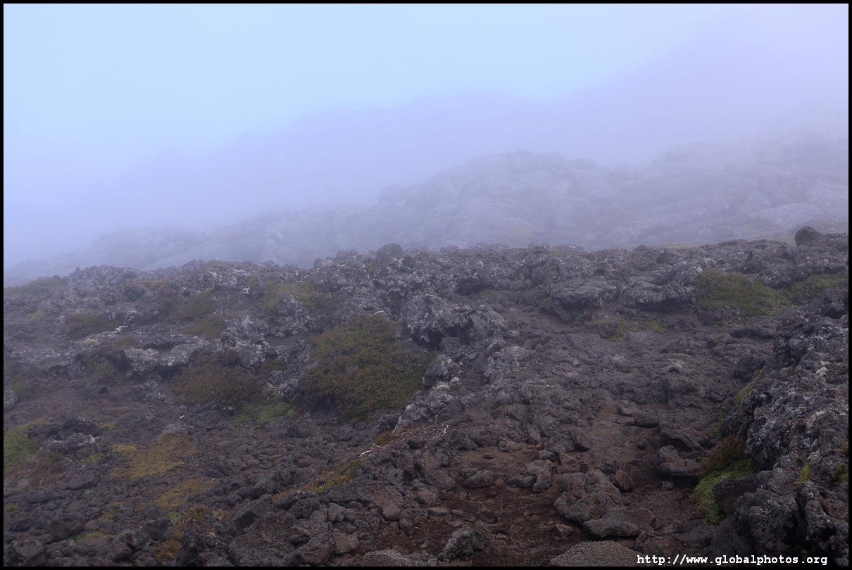
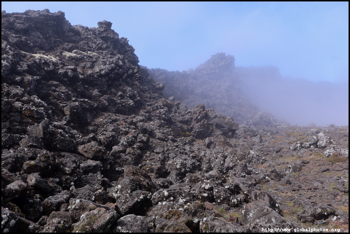
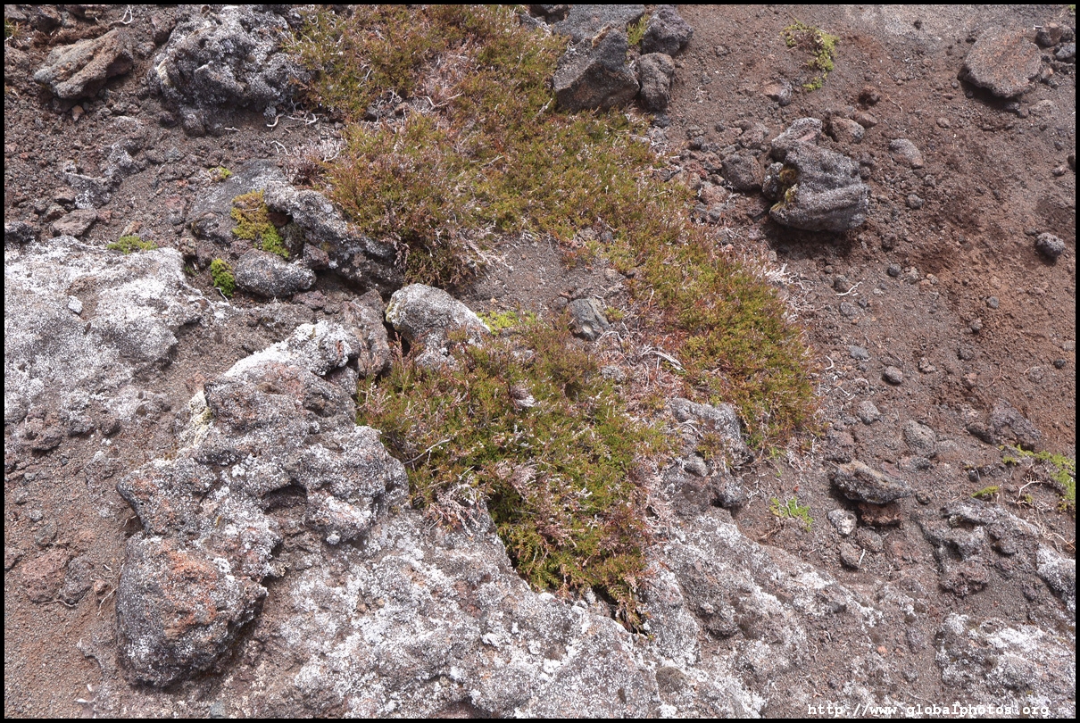
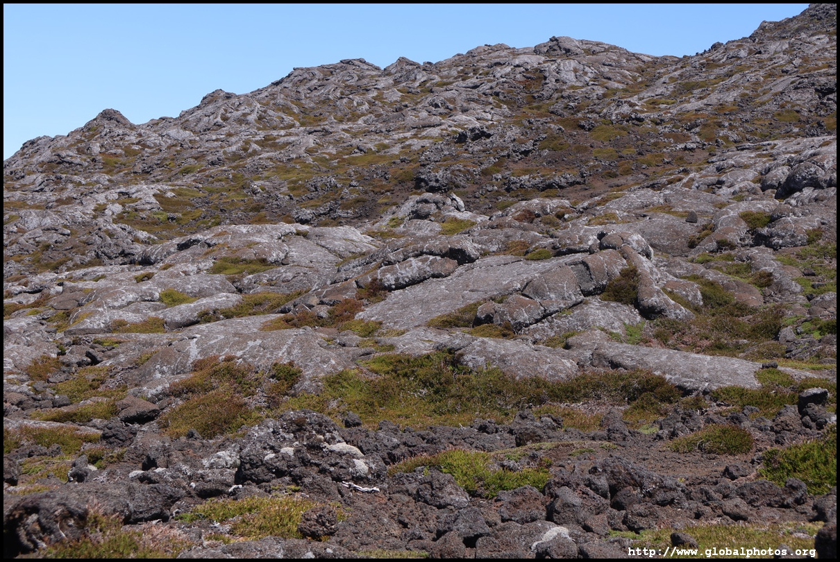
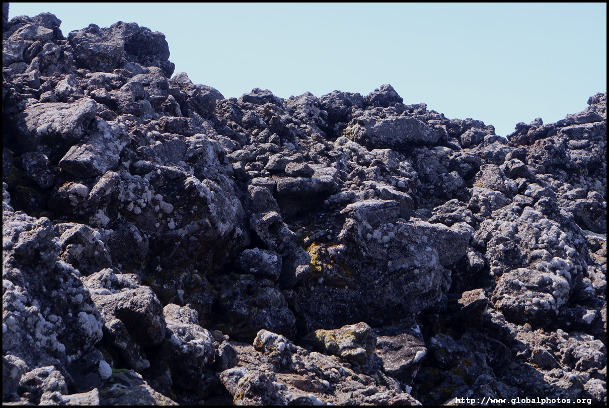
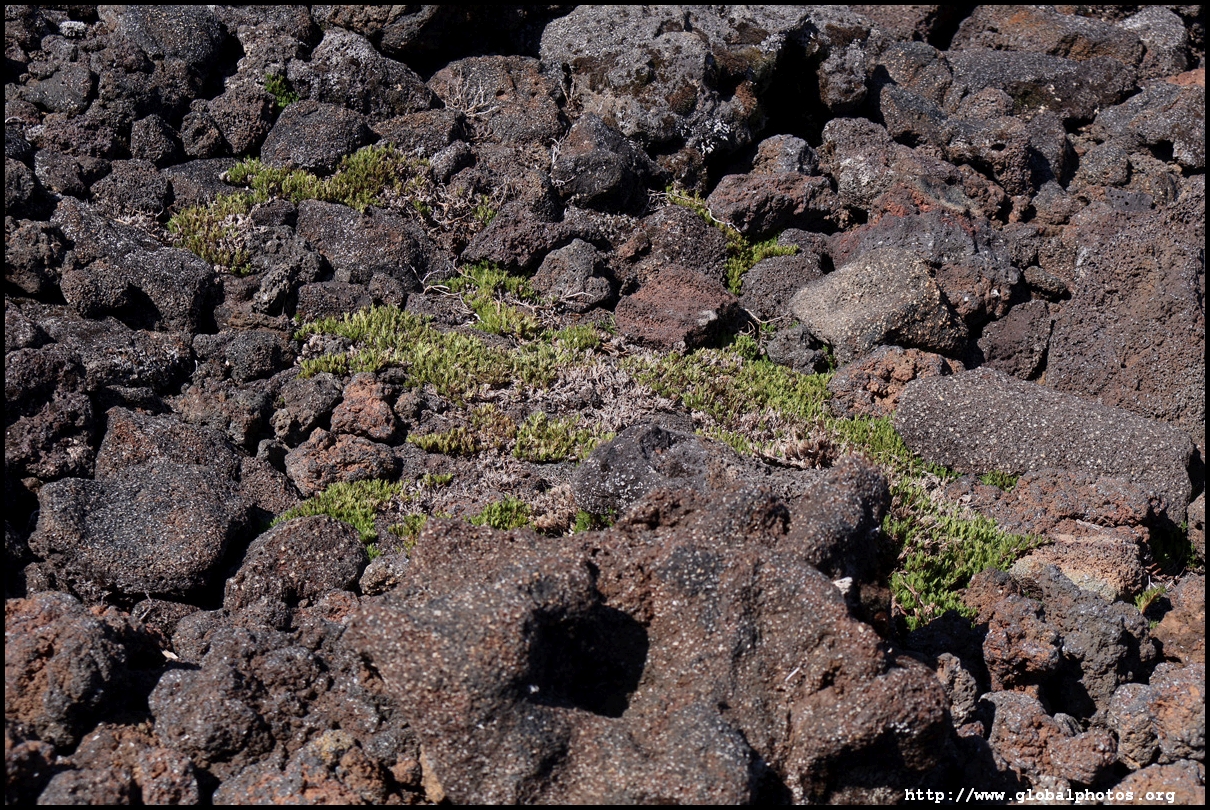
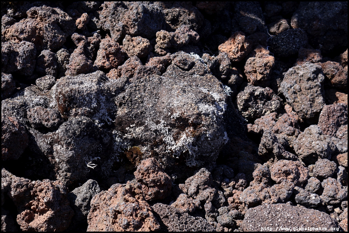
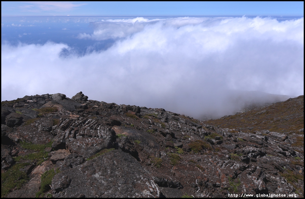
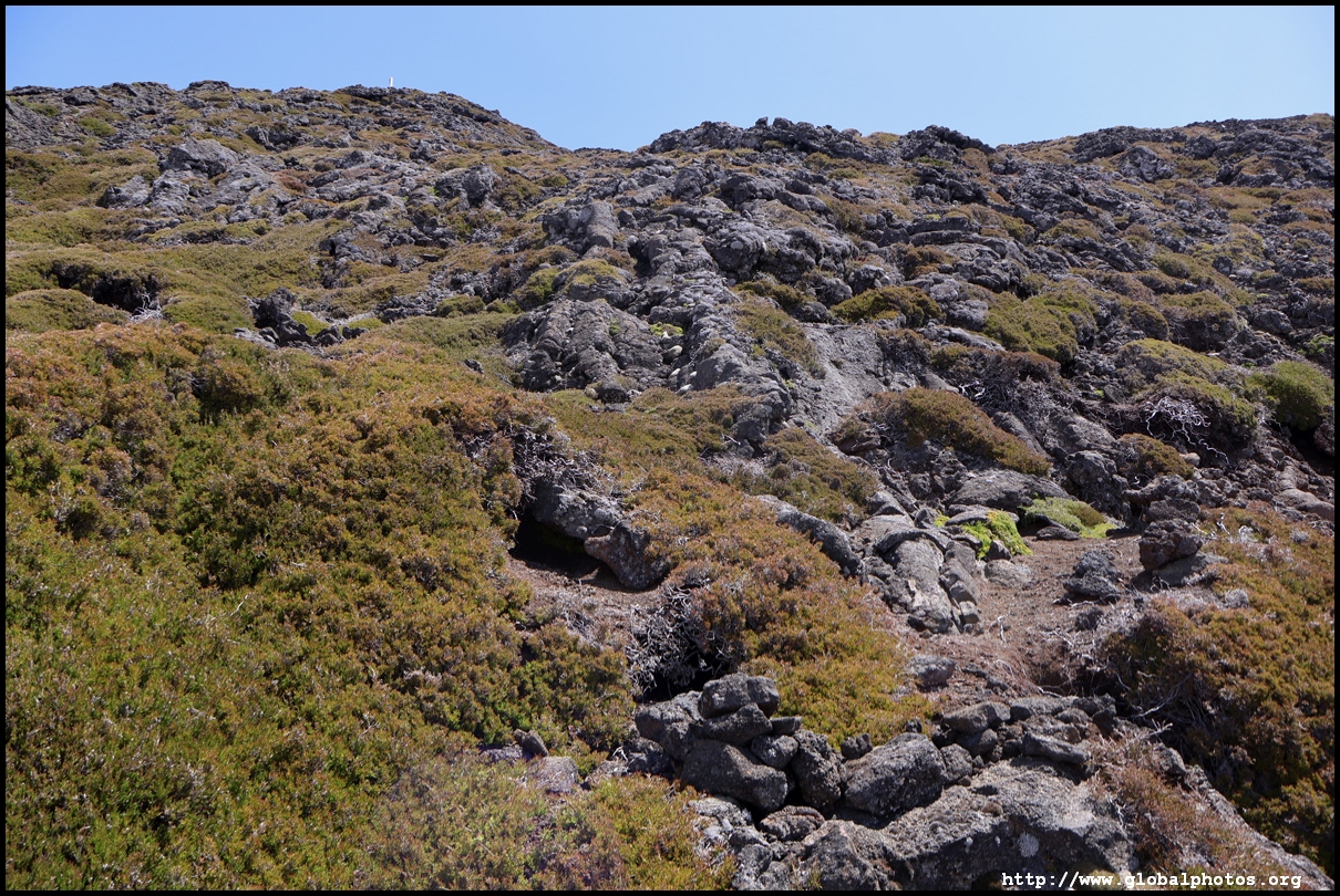
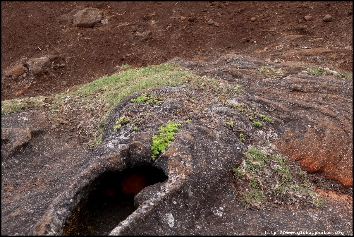
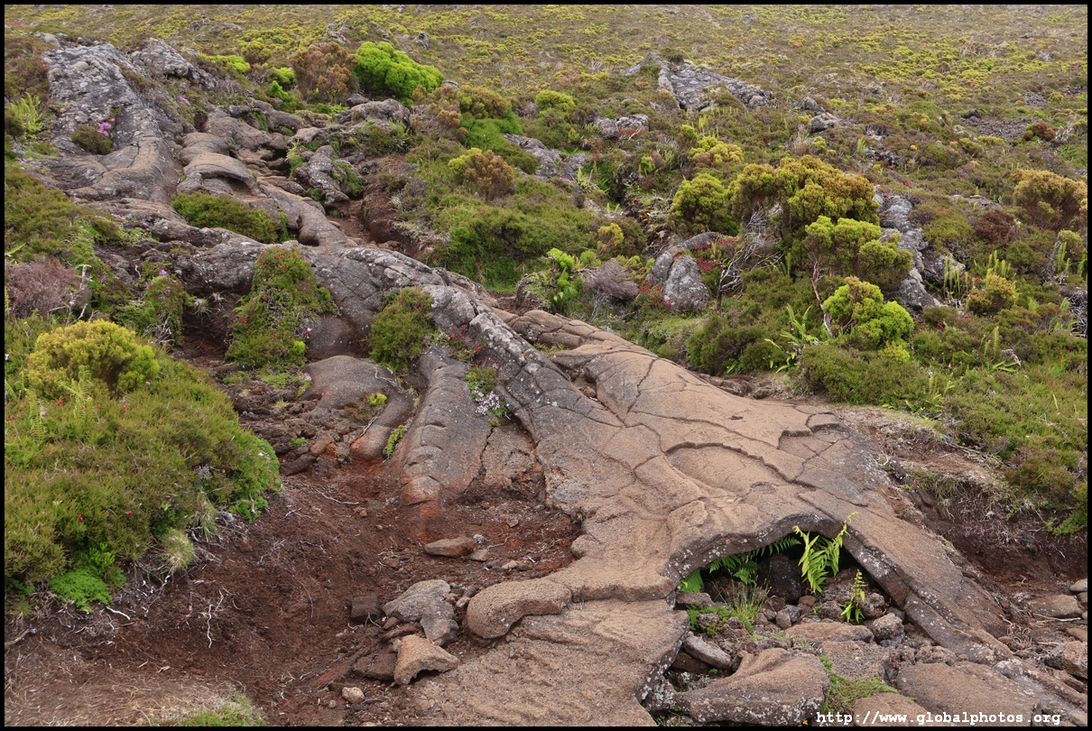
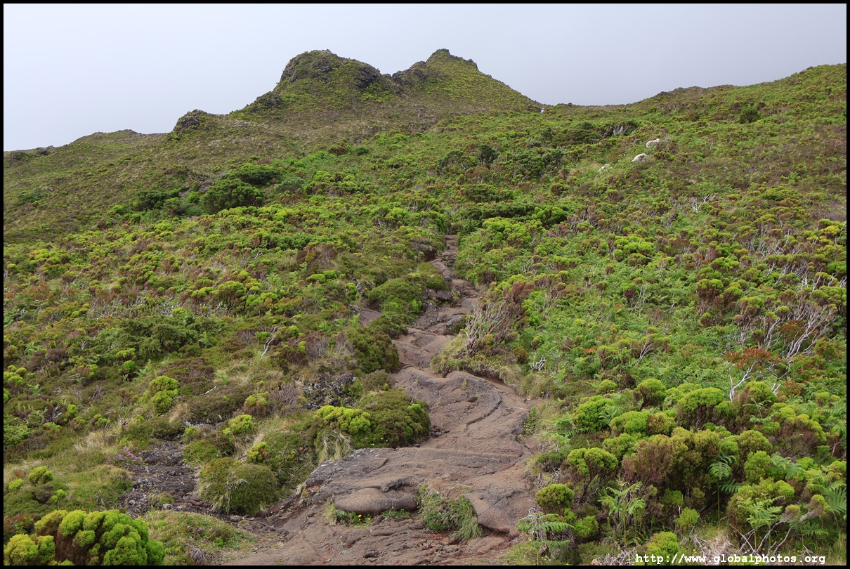
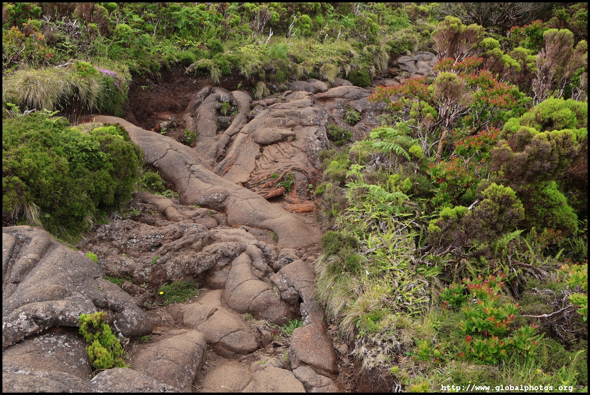
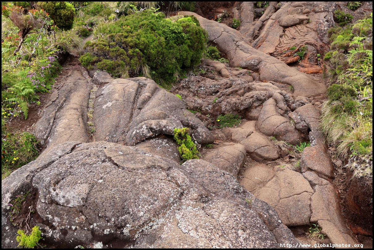
It took longer to descend down the volcano than going up. A good portion of it was on dried lava flows, which can be slippery so the hiking poles come in handy.
About 4 hours later, I reached the parking lot alive but not totally drained. This was a gruelling hike and a guide was definitely necessary to safely navigate the route and well worth the reasonable cost. Officials take tourism here very seriously with GPS watches to track our progress (they collected it back at the end of the hike to verify you have finished) so nobody is left behind or to effectively mount a rescue should the unfortunate happen. If you decide to climb Pico, do allow at least a few nights on the island just in case the weather doesn't co-operate especially at the top and the guided hike cannot proceed. It is very possible that the mountain-top is dangerous while it's sunny in the towns.
|
|

To re-use these photos or notify of errors, please email me. Thank you.
Azores Photo Gallery Main Page