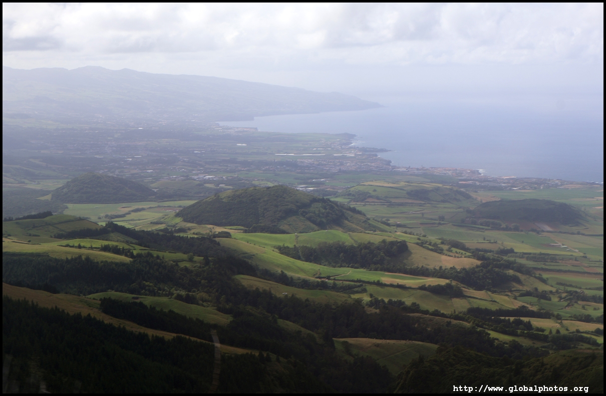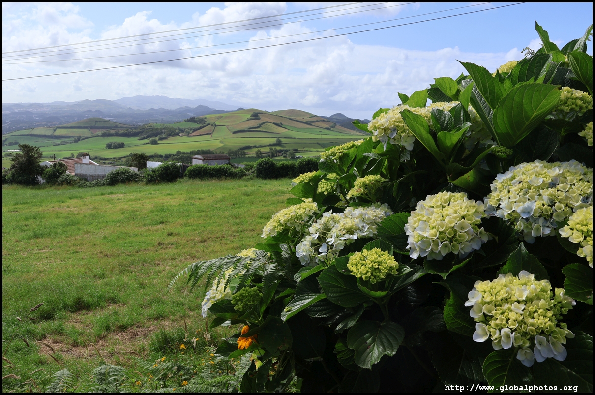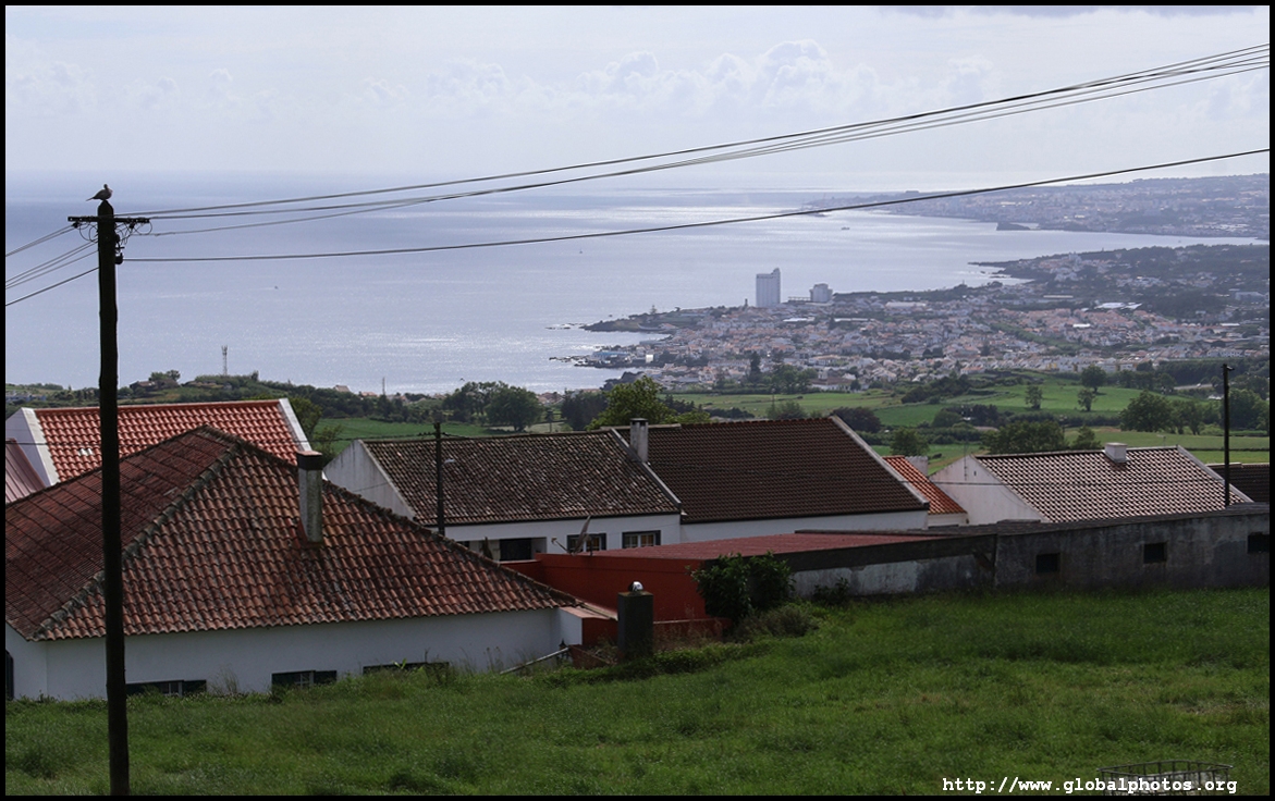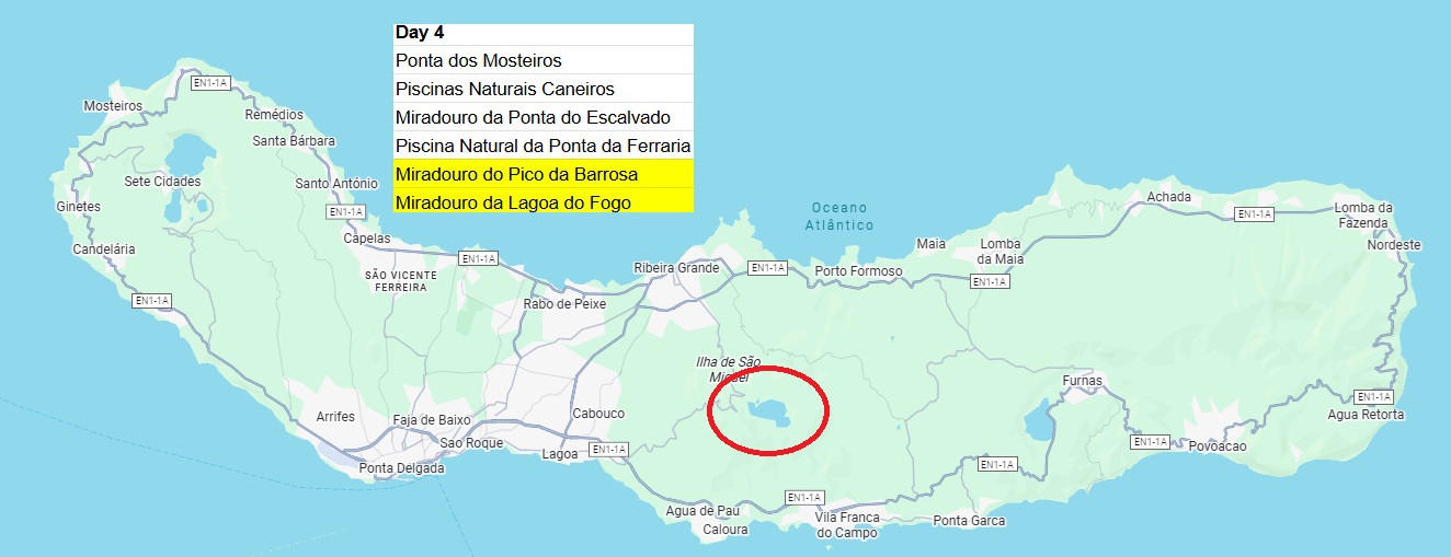
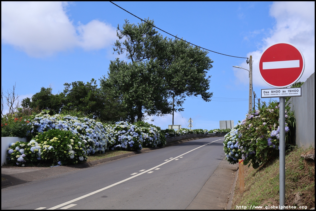
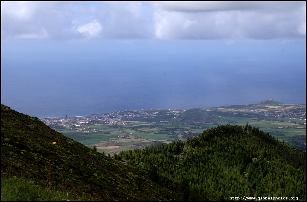
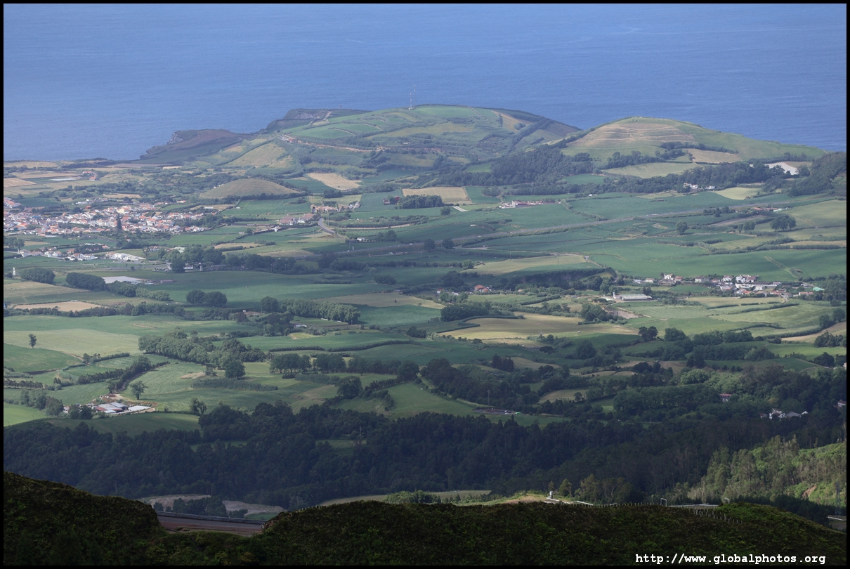
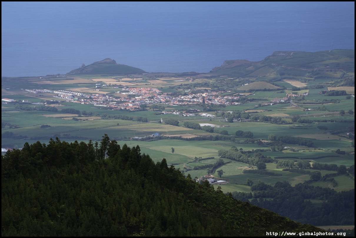
Stretching 62km long and 15km wide, Sao Miguel is the largest island in the Azores. The northern part of the island has fewer attractions, but with a car, it's only a short drive from Ponta Delgada to explore.
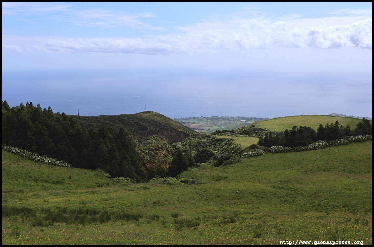
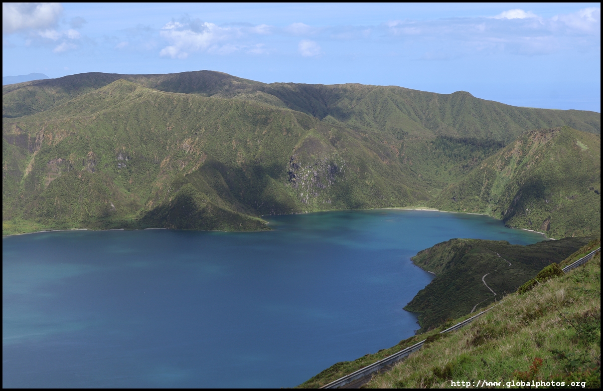
Lagoa do Fogo is geographically in the middle of the island and just northeast of Ponta Delgada. The area is a collapsed volcano formed about 15,000 years ago, making it the youngest and smallest caldera on the island, with the lake at 575m above sea level.
Having checked the webcams over the past few days, the images came back grey all the time. It seemed the weather at these high altitudes was cloudy even though it was sunny at sea level. With my time on Sao Miguel coming to an end soon, we took a gamble and headed up after a morning on the western side of the island, where it was blue skies and bright. Yet, the webcam for Fogo still showed grey.
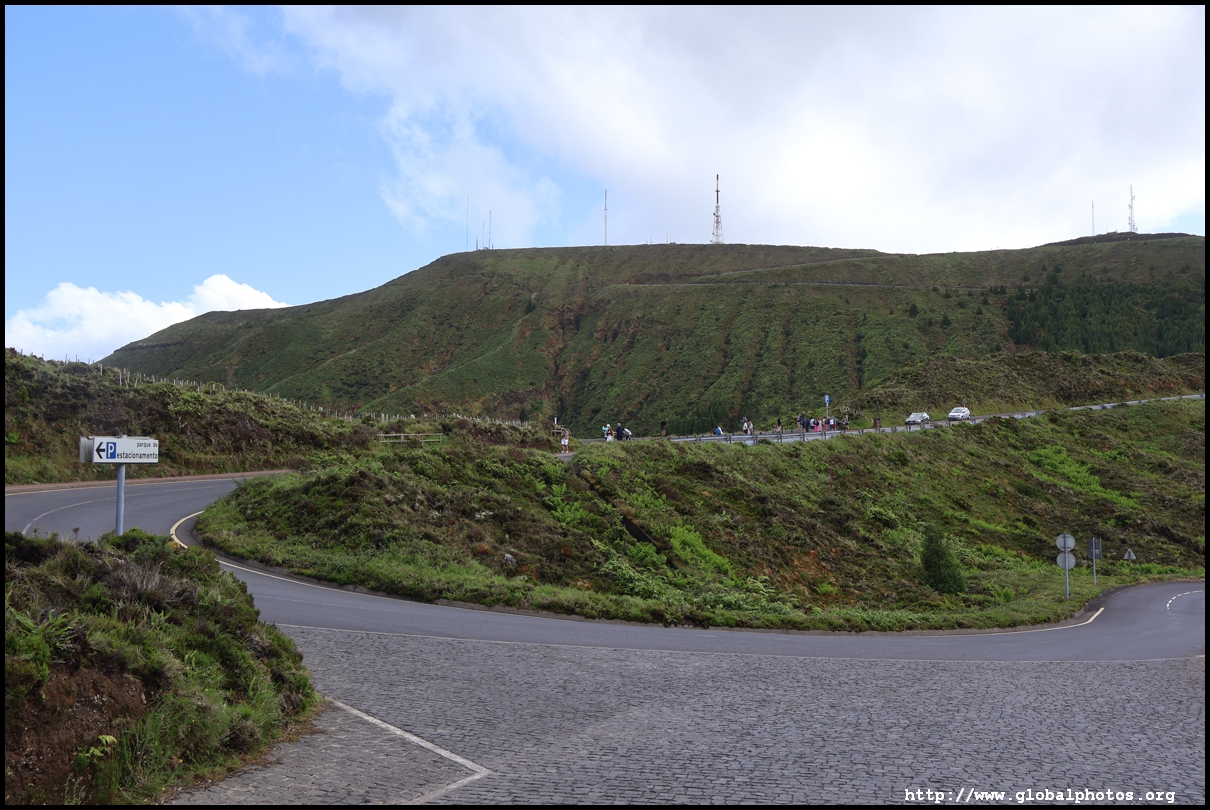
It is not possible to drive all the way to the 2 viewpoints overlooking the lake. There is a road block part way with the police turning around tourists. At this location, you park the car and continue up by bus, although I didn't see a detailed schedule posted. Luckily, it didn't take long for one to pop up.
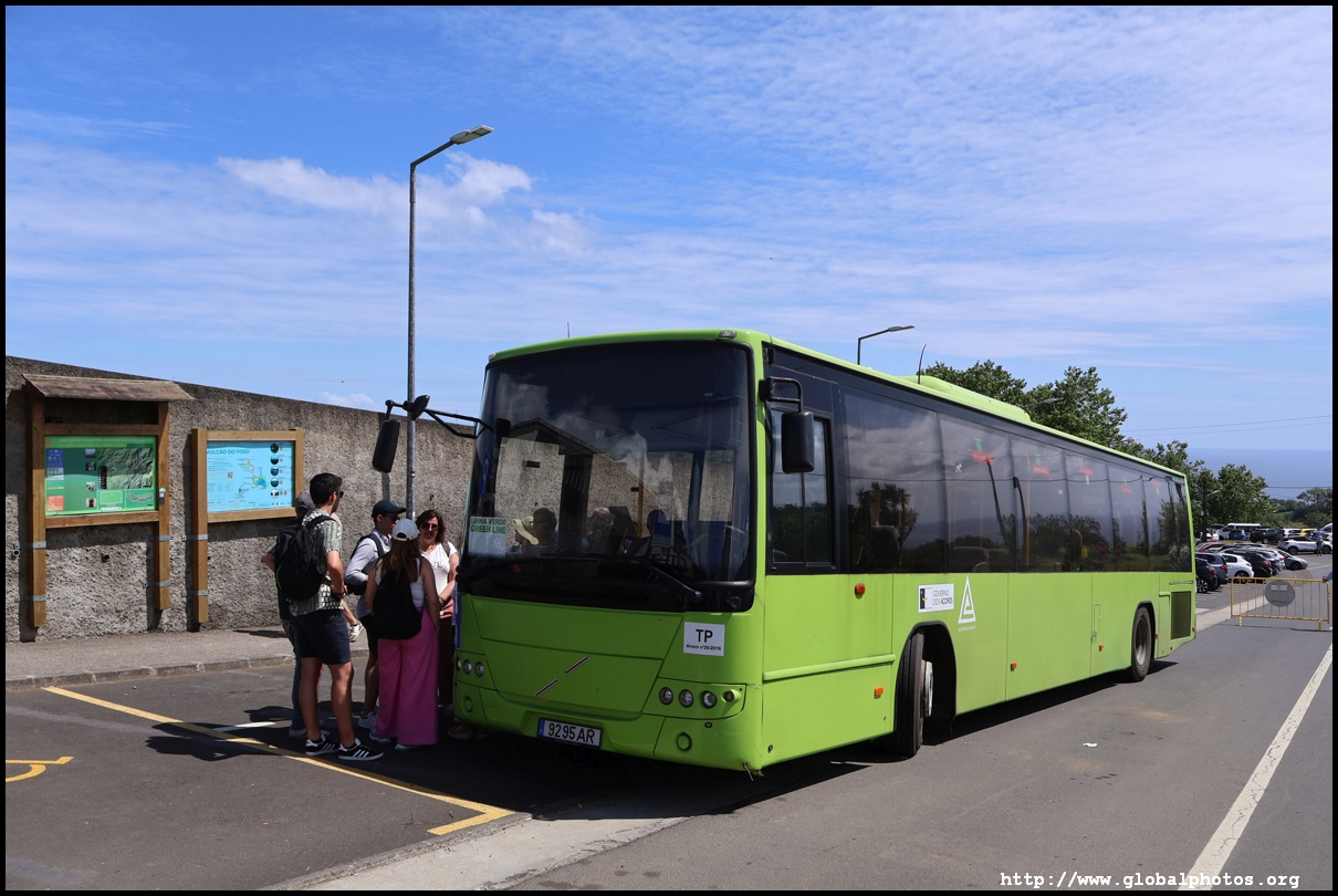
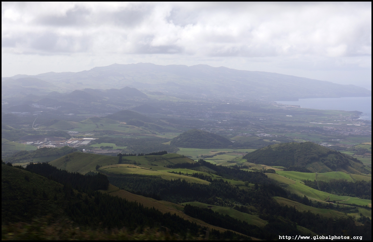
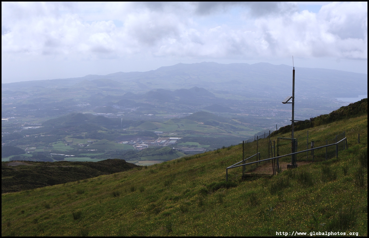
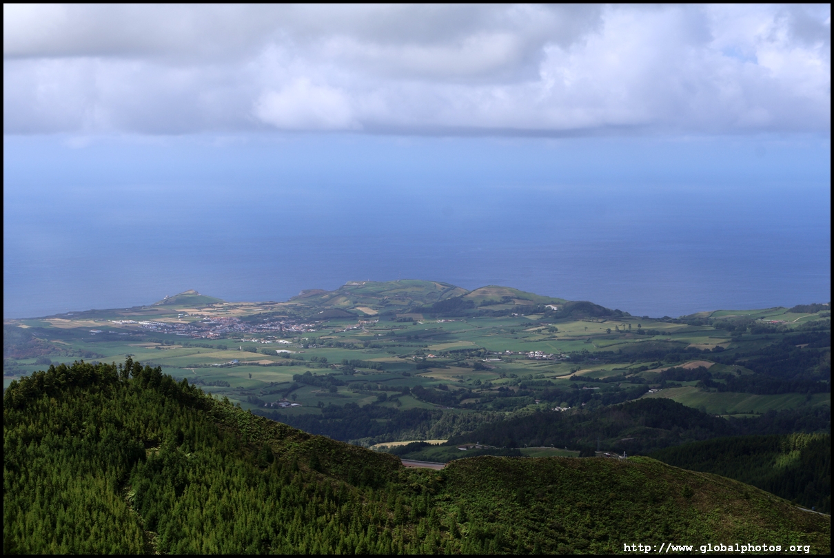
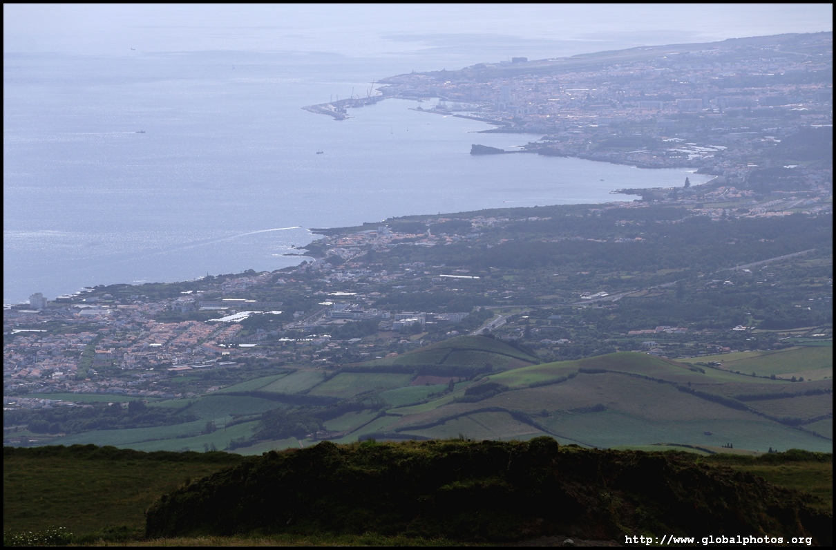
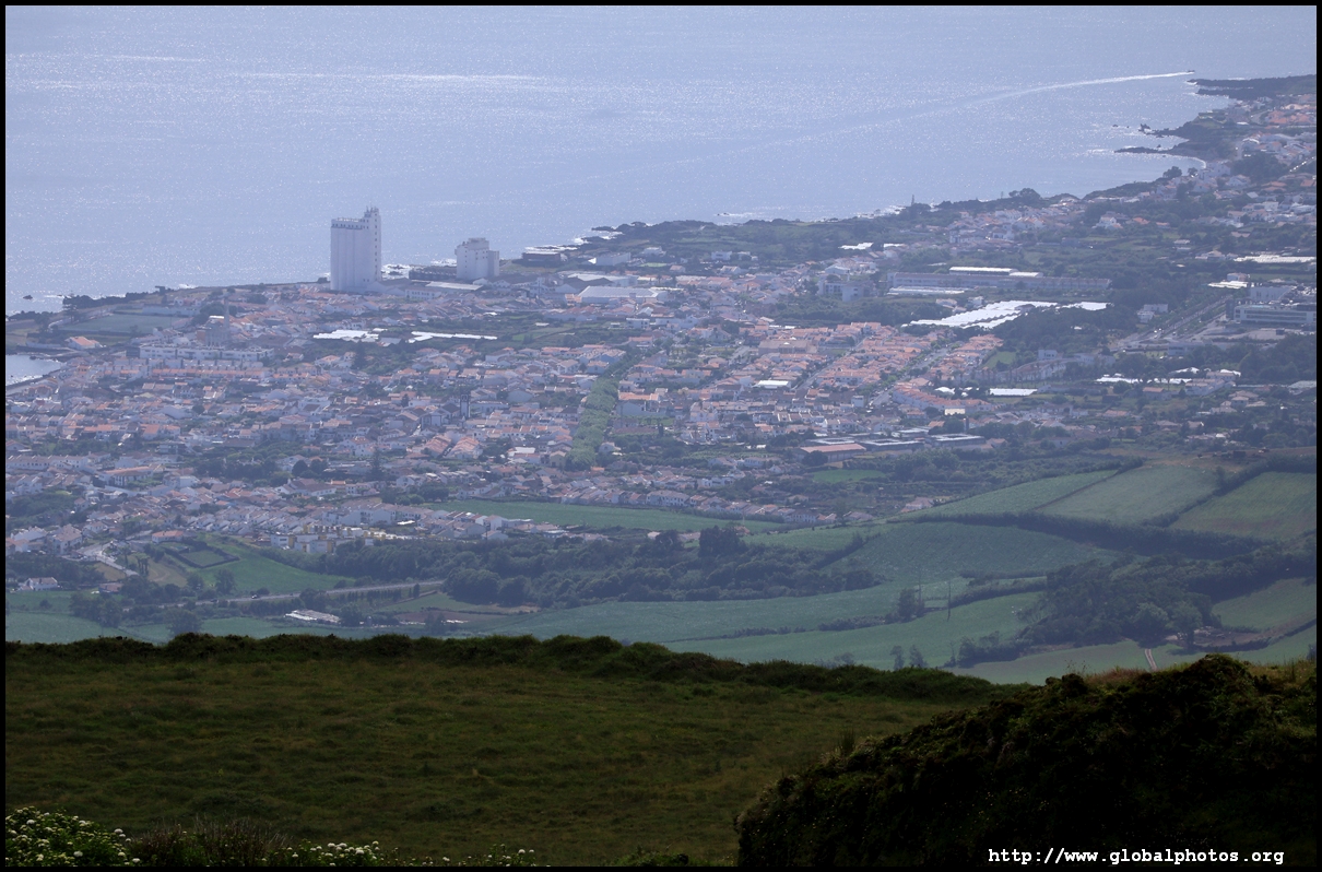
The bus continues uphill on the narrow road. With the road block, there was no other traffic and the views were quite nice with Ponta Delgada to the left. Soon, we arrived at the first viewpoint, Miradouro do Pico da Barrosa, where we were given some time to take photos before boarding the same bus again for the next stop.
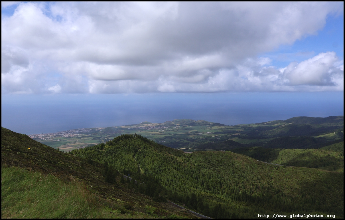
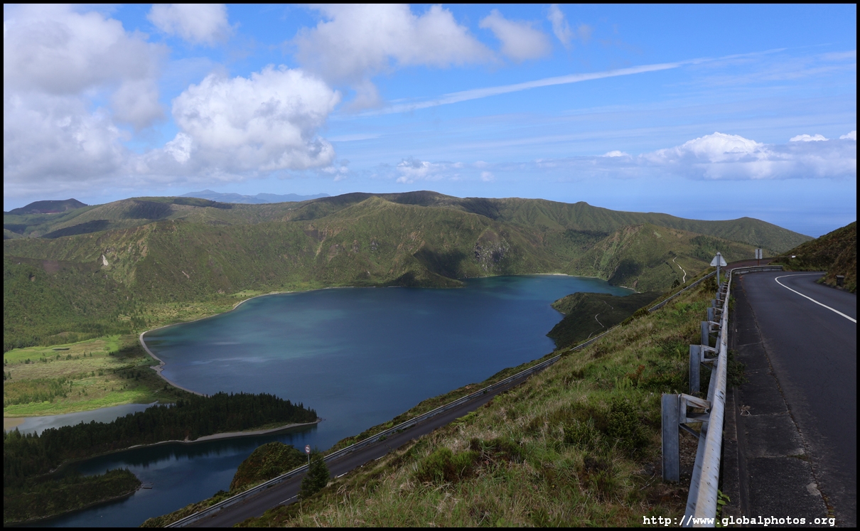
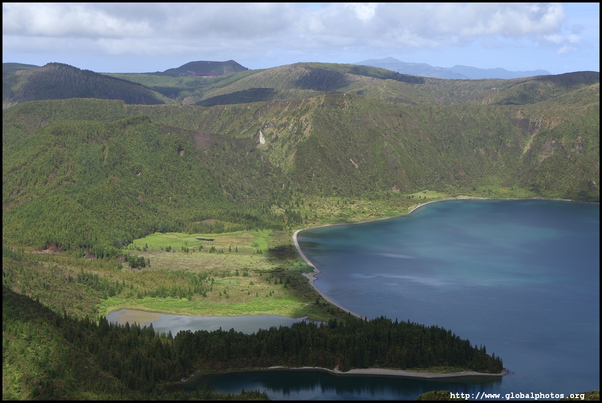
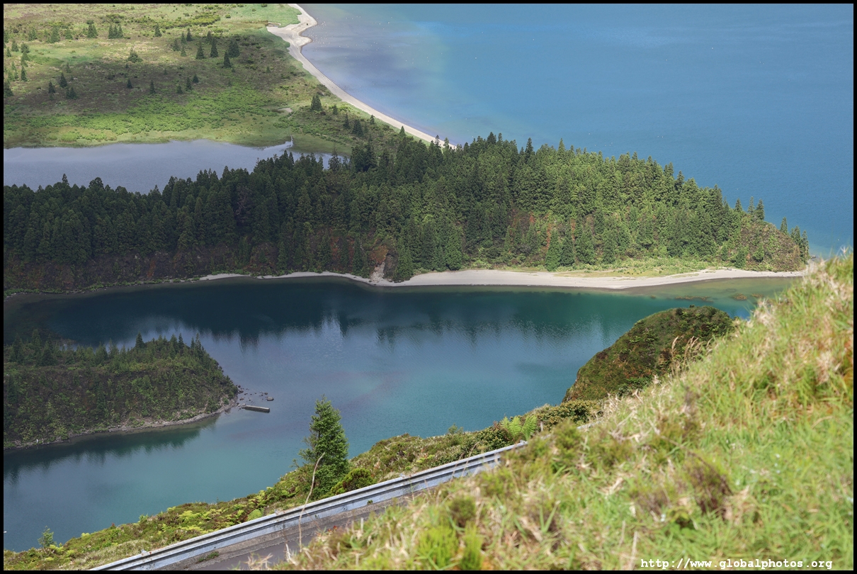
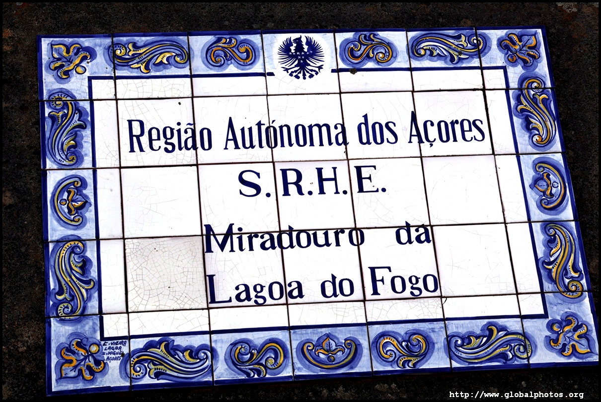
Miradouro da Lagoa do Fogo was a little downhill and had a different angle to view the lake.
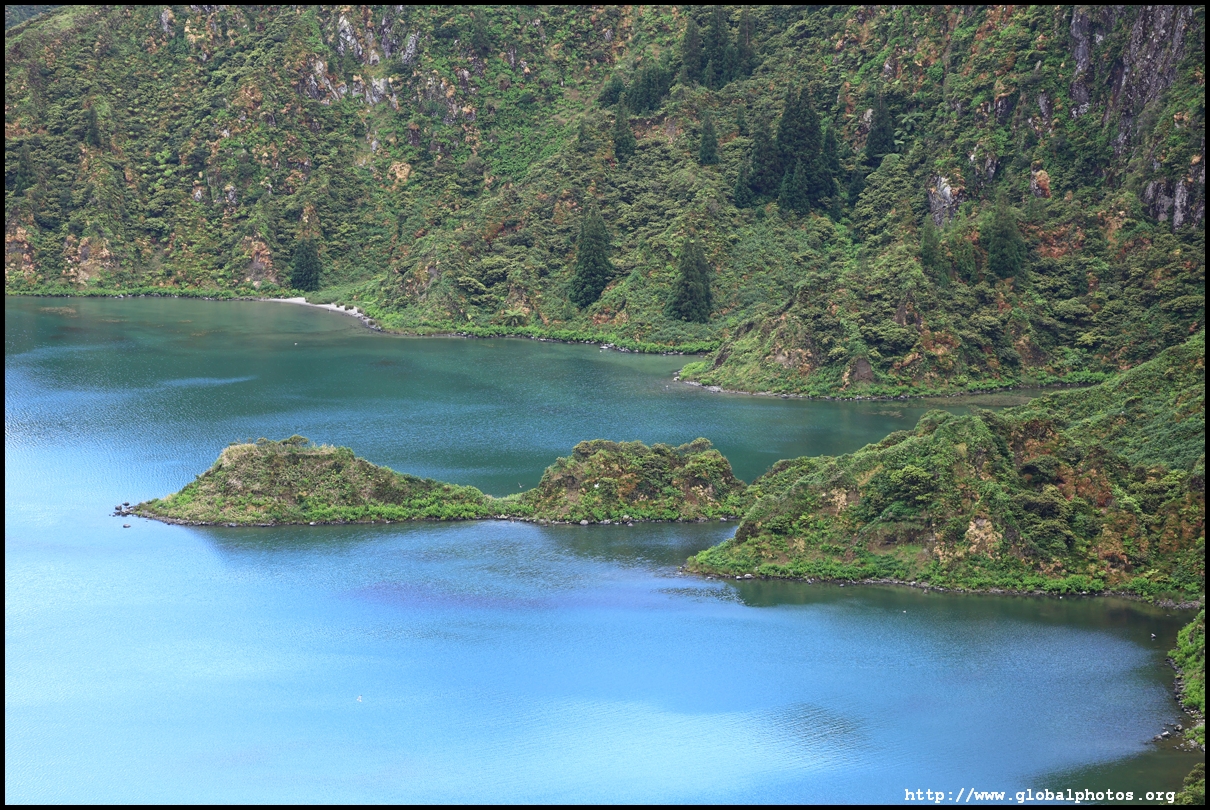
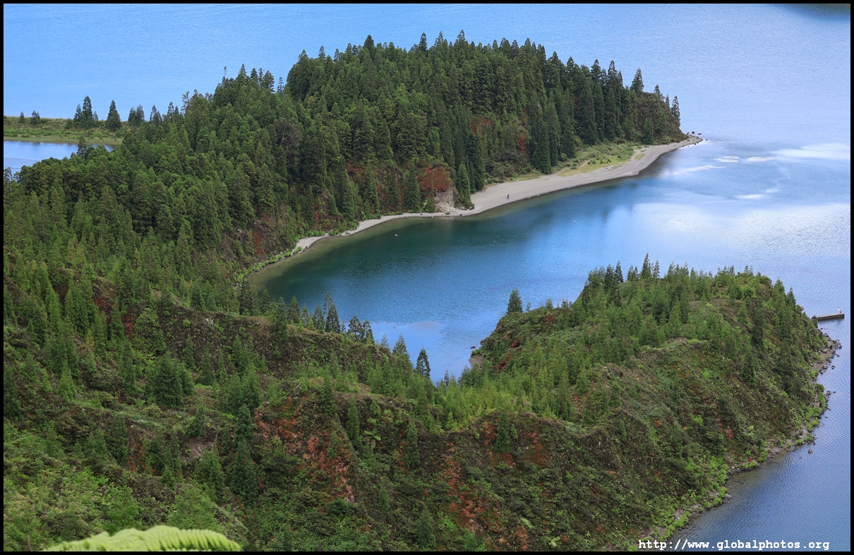
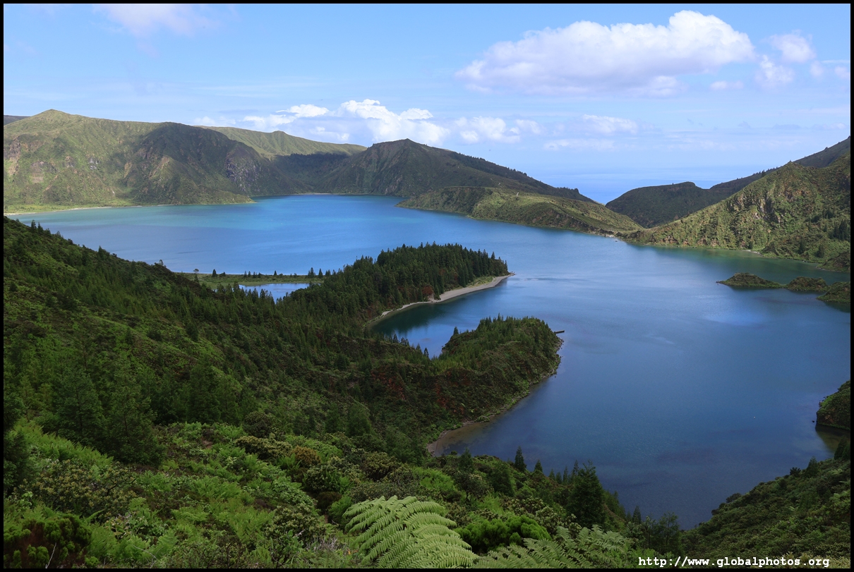
It seems the webcams probably were not working, as it was not grey at all up here, although some clouds did start to roll in as we headed back downhill. By now it was getting late in the afternoon, so I didn't have time to do further hikes in the area or head further into the park on their buses.