Beijing Parks Photo Gallery
|
|||
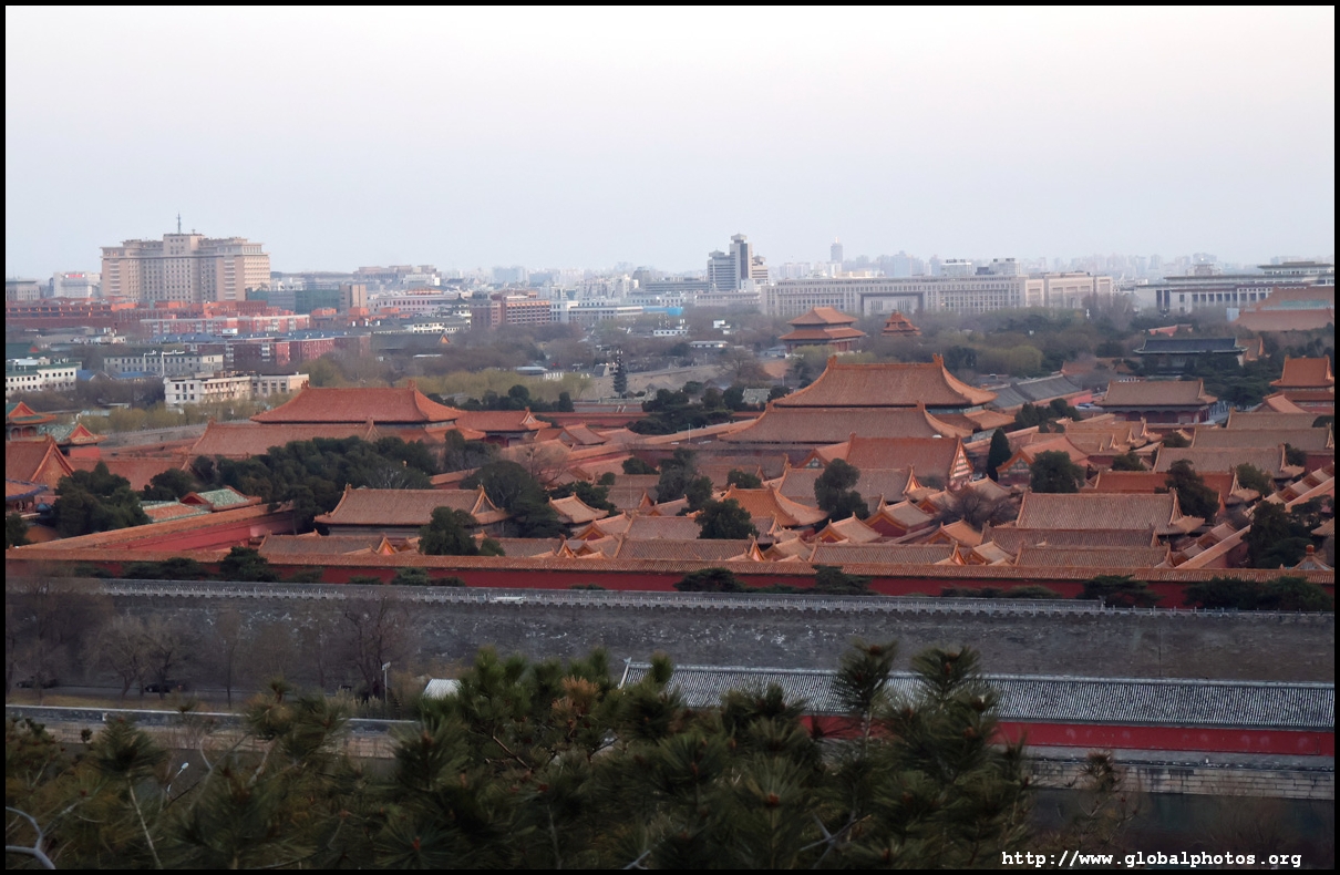
Historically, the best view of the Forbidden City was from Jingshan Park, an imperial garden that was the highest point of the city. However, Beijing is on a flat plain, so why is there a hill next to the Forbidden City?During the Ming Dynasty, this hill was created from excavated material for the palace moat. Named Wansui Shan at the time that meant long life, it was renamed to Jingshan, meaning view, in the following Qing Dynasty.
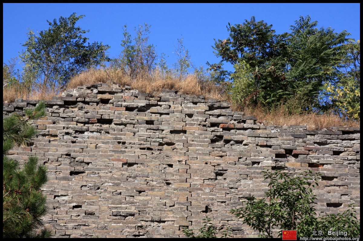
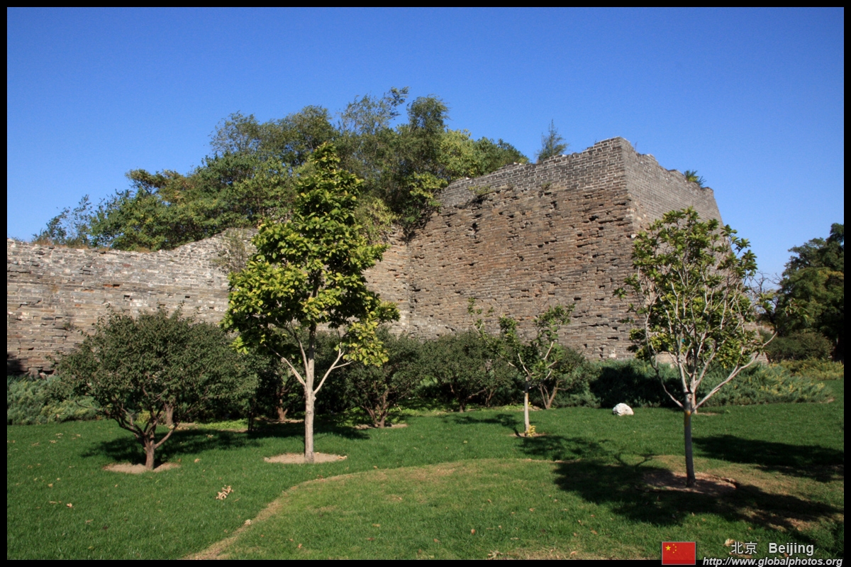
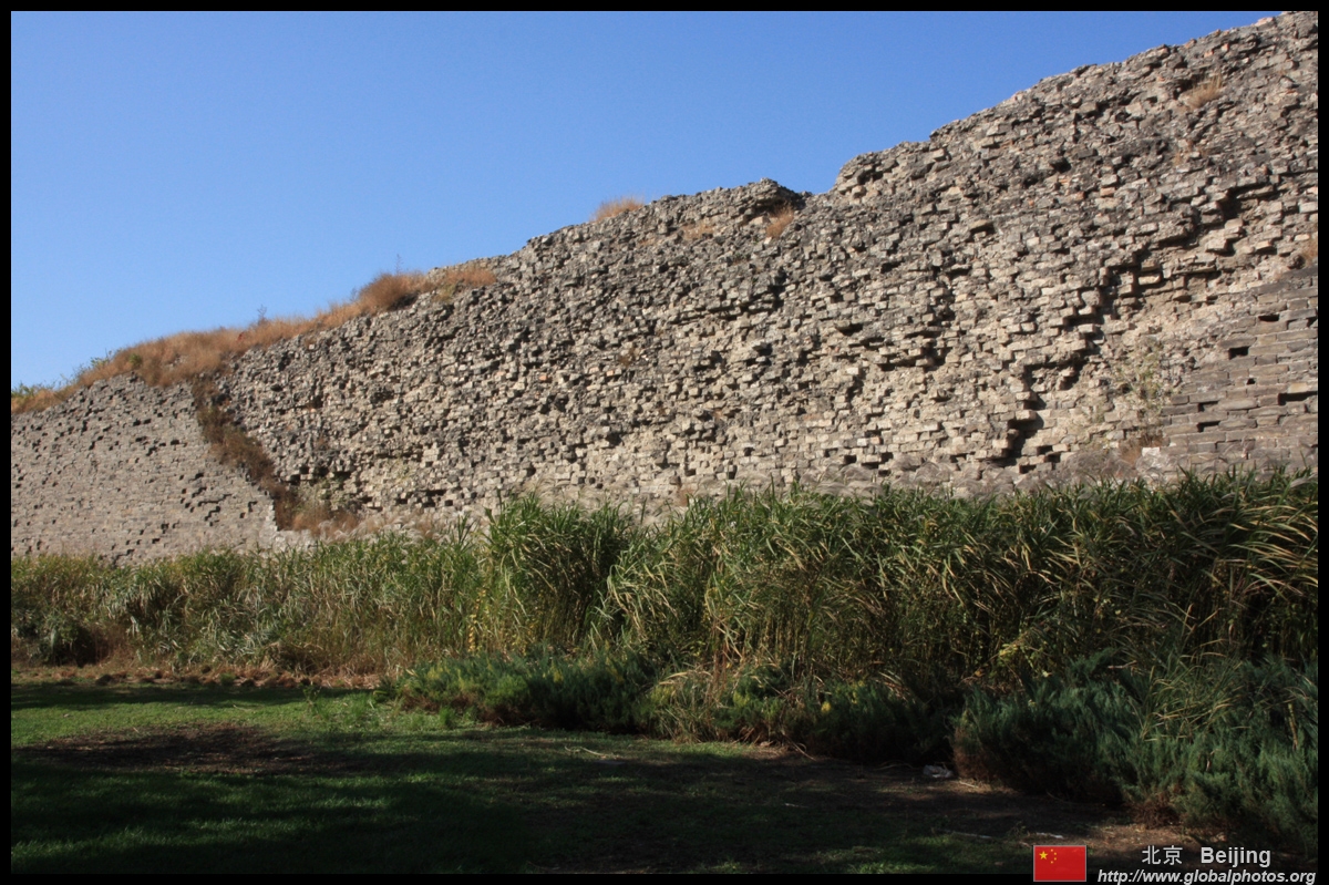
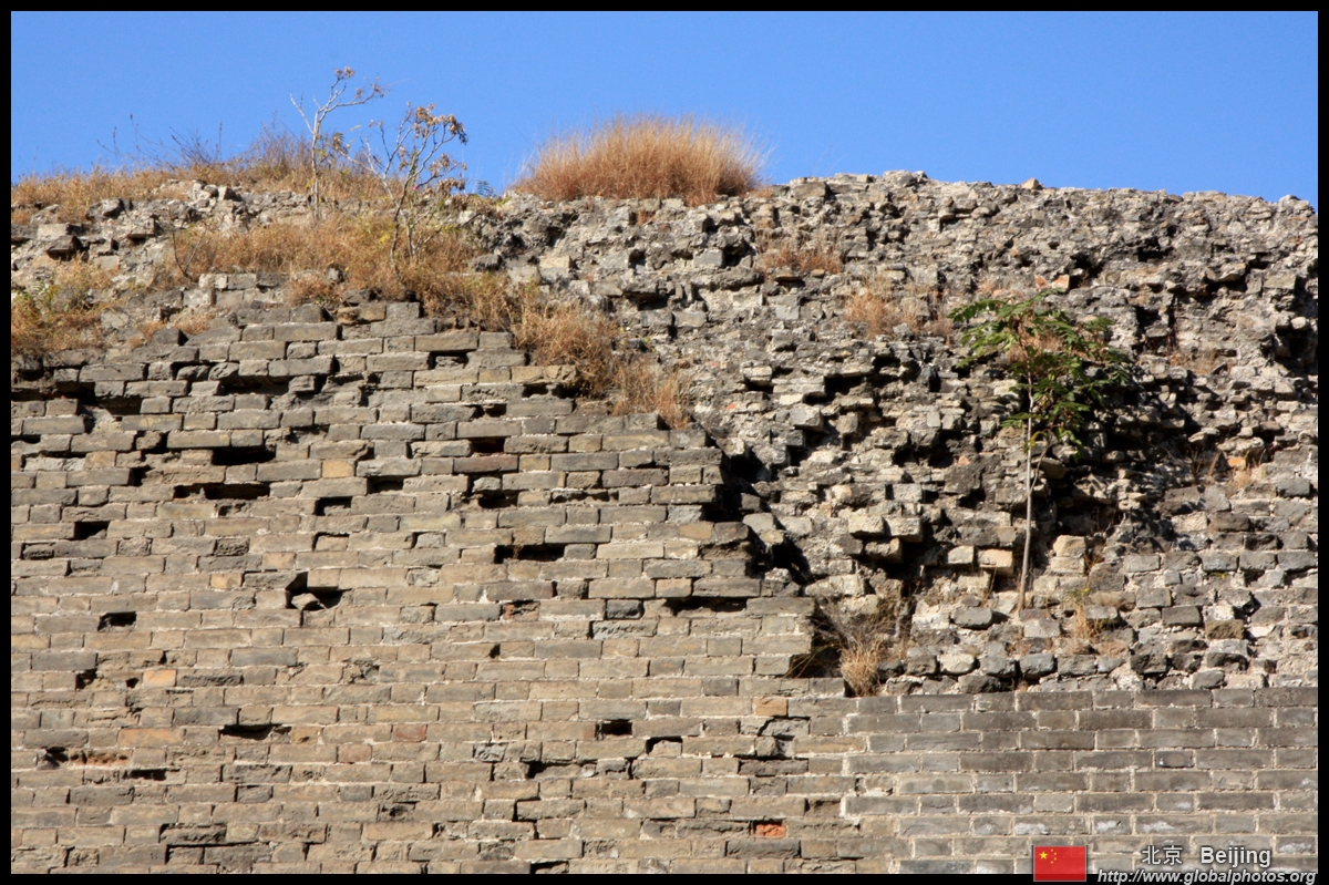
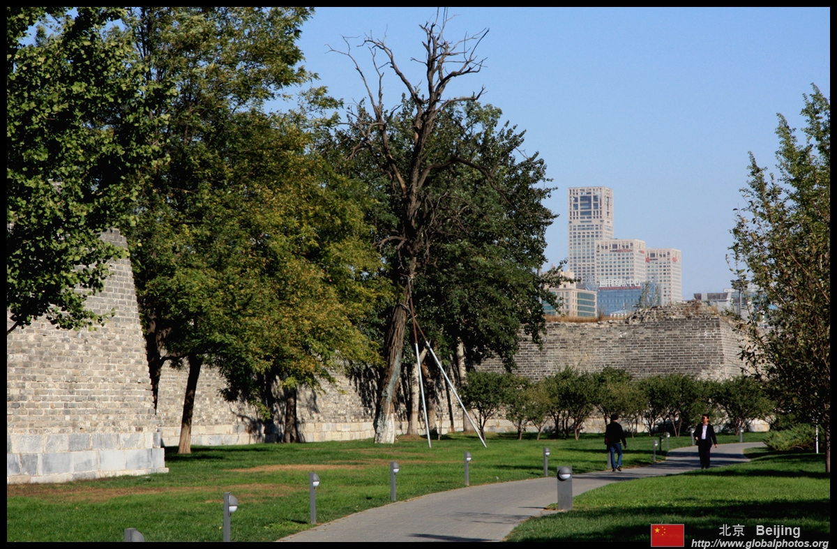
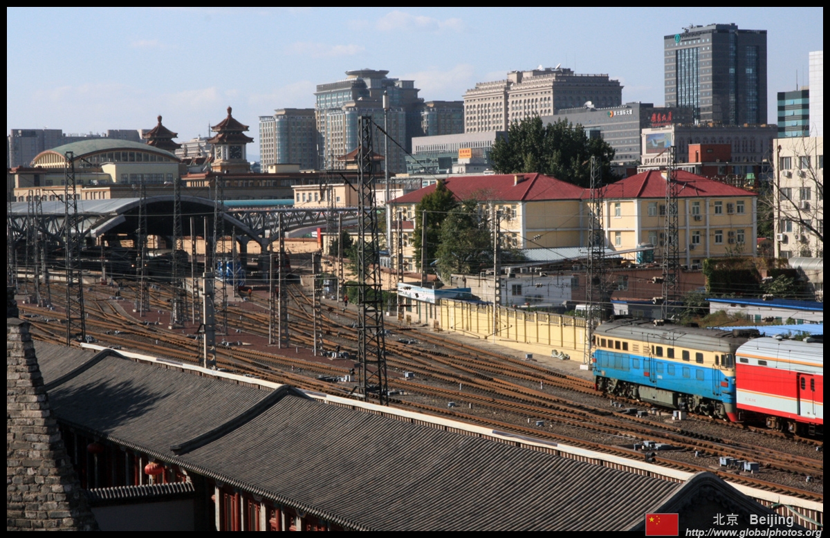
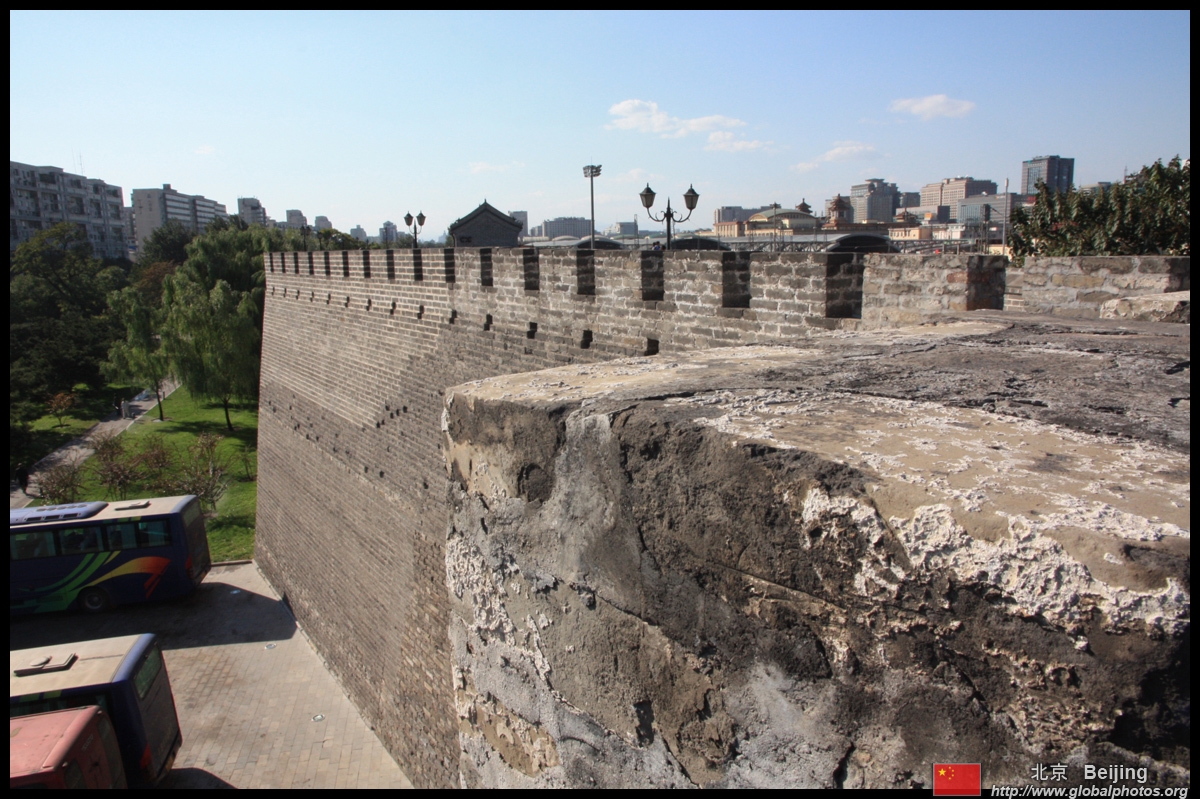
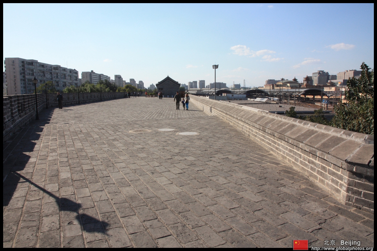
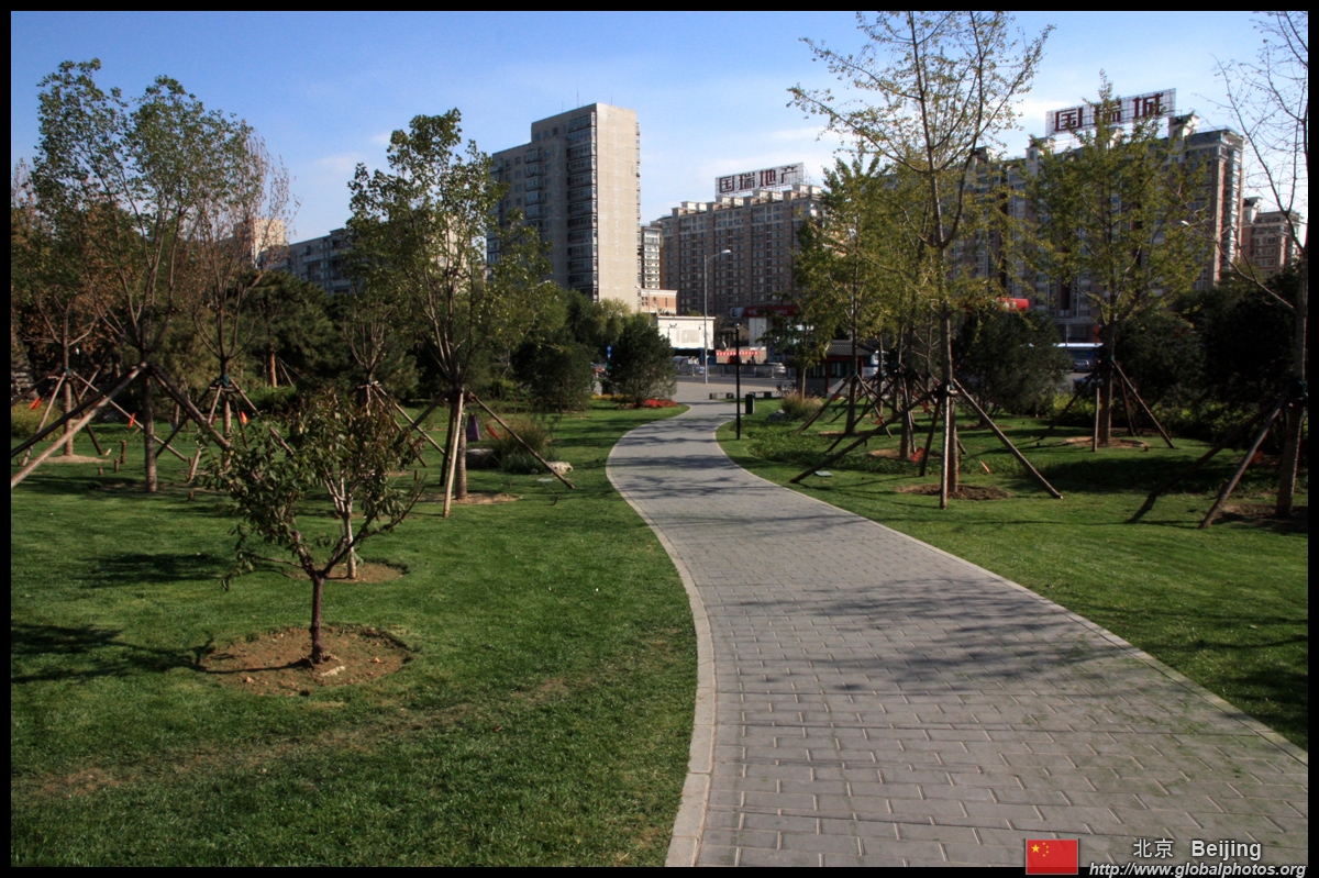
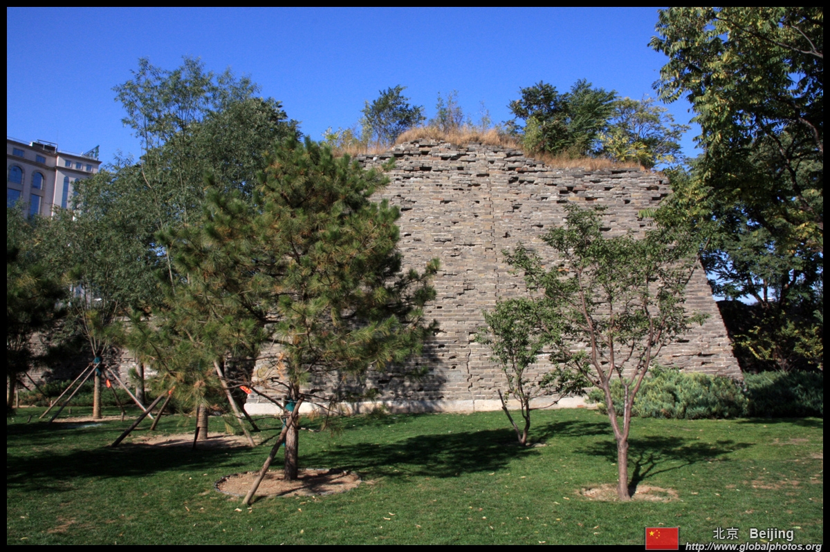
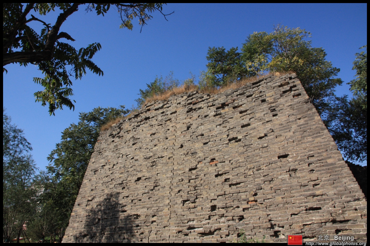
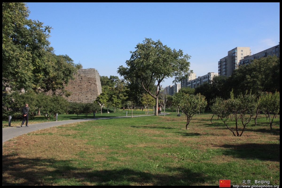
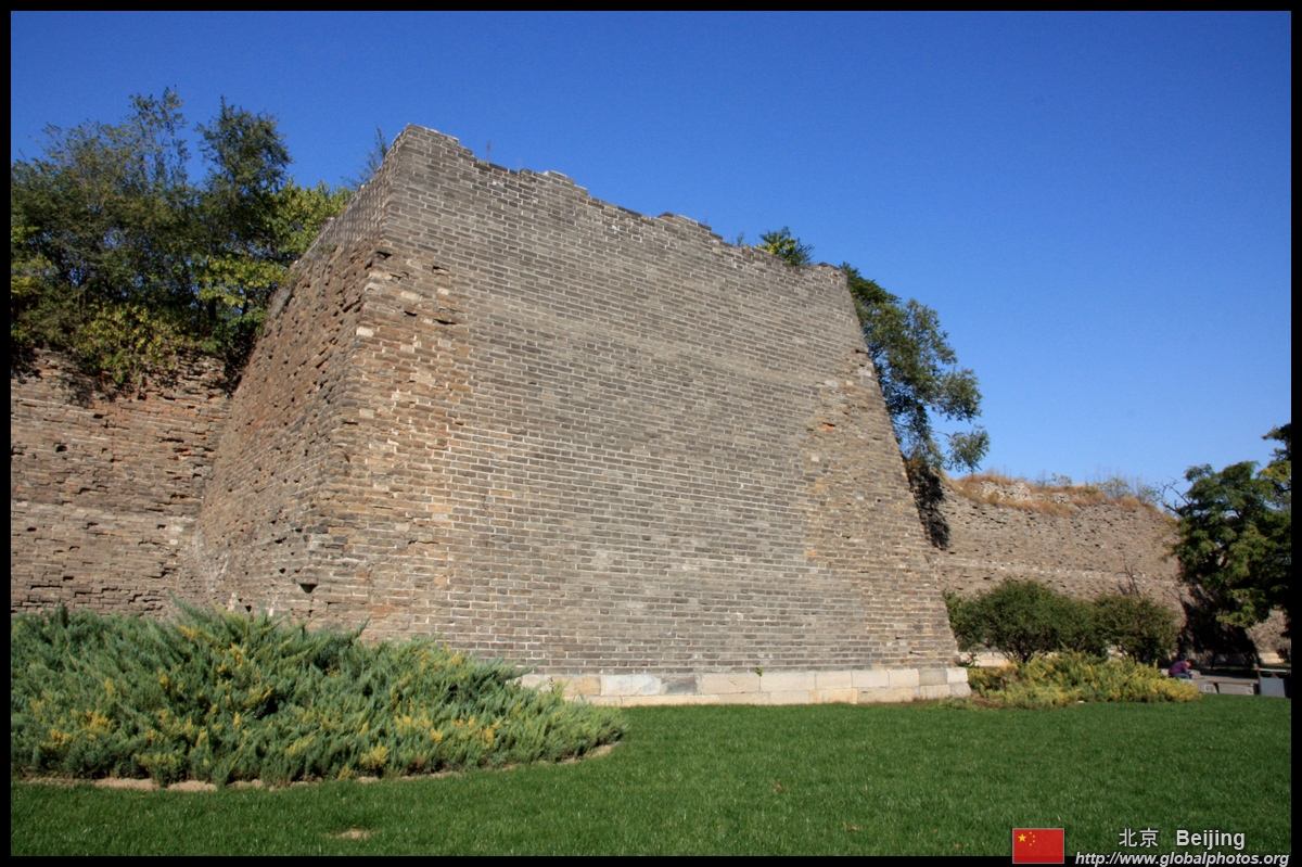
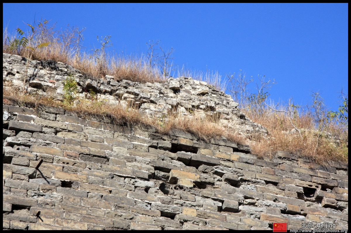
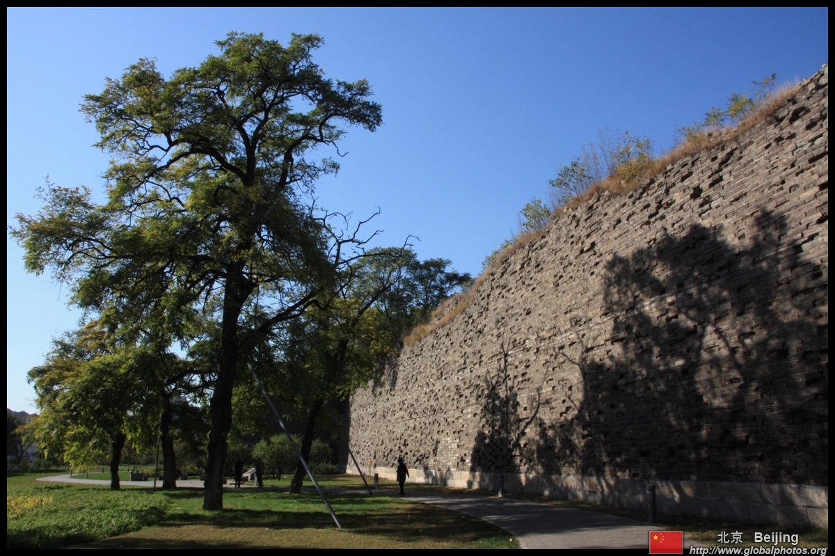
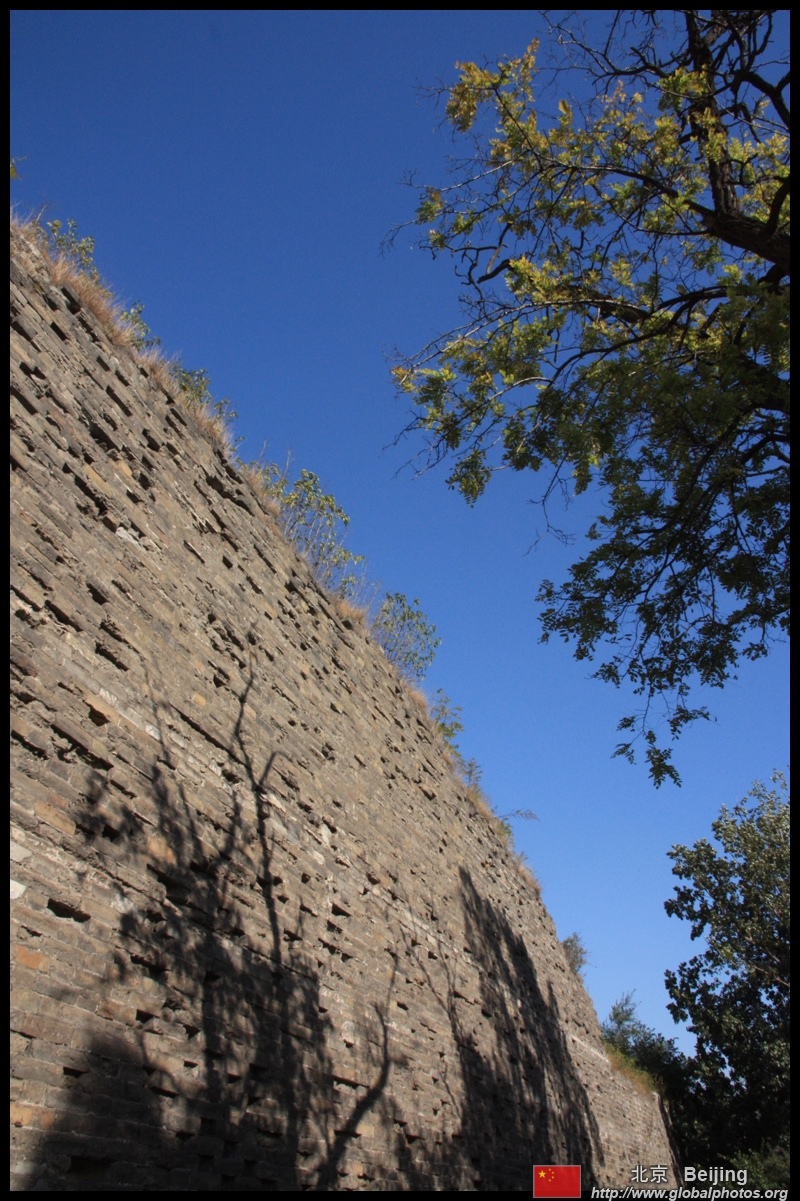
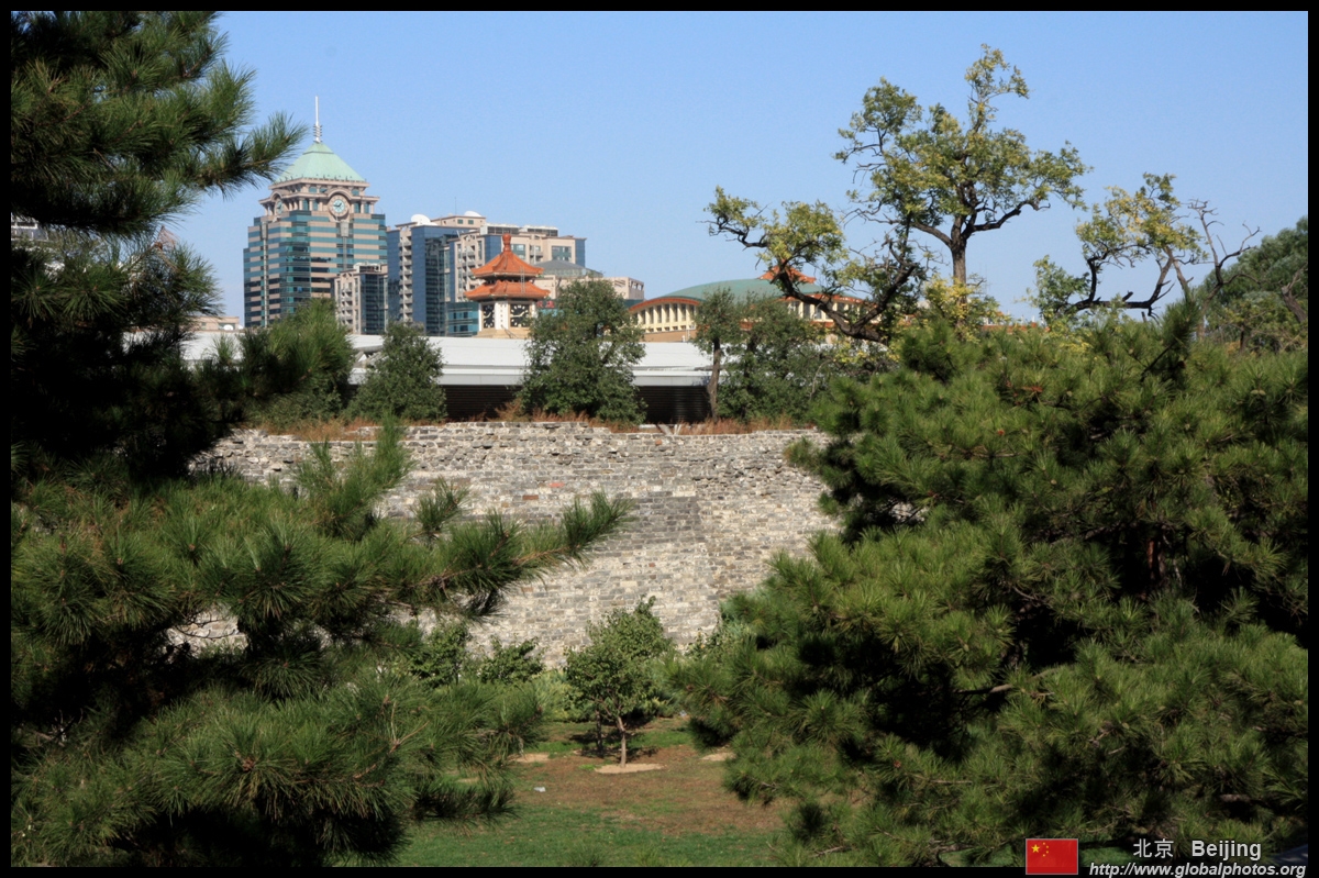
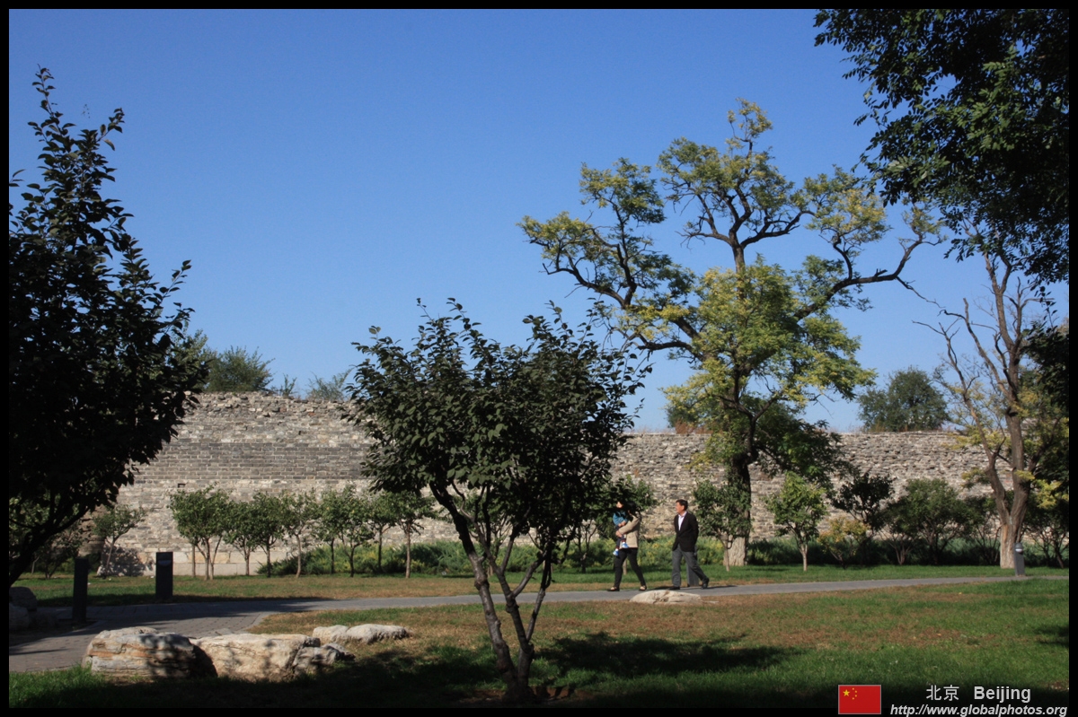
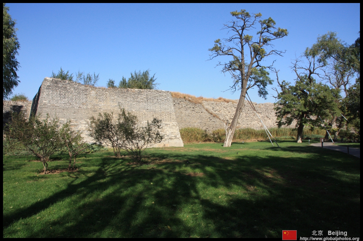
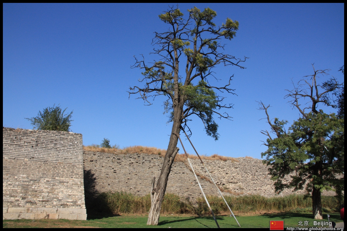
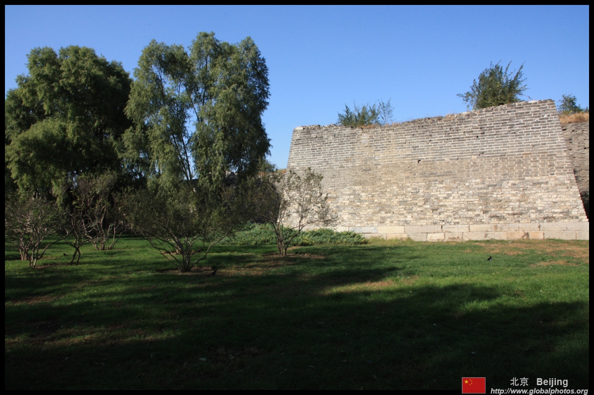
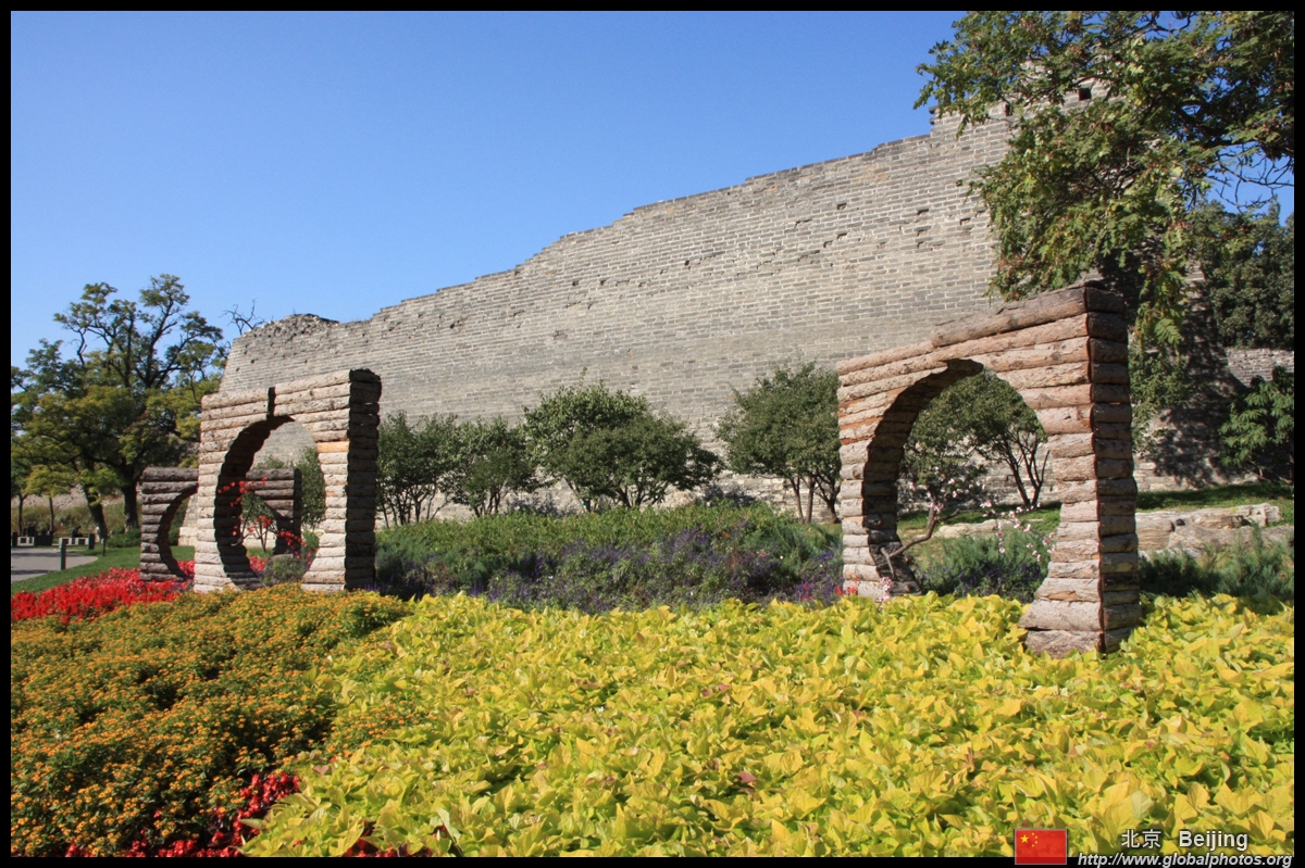
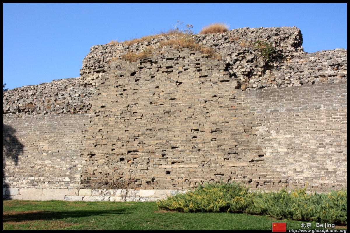
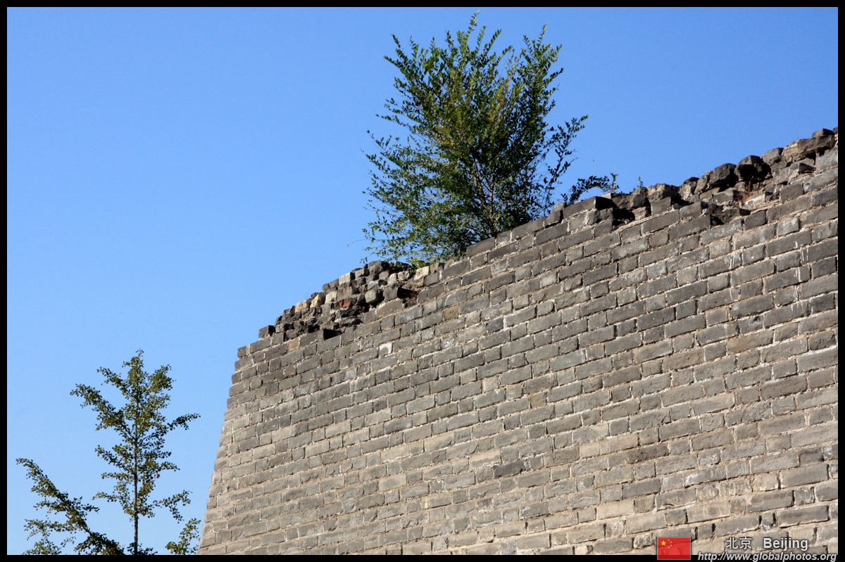
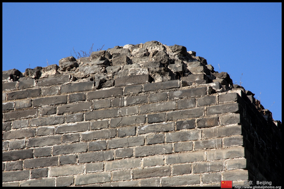
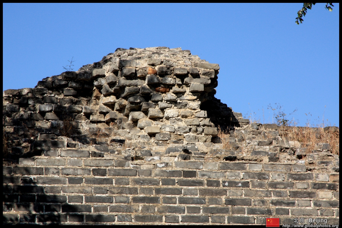
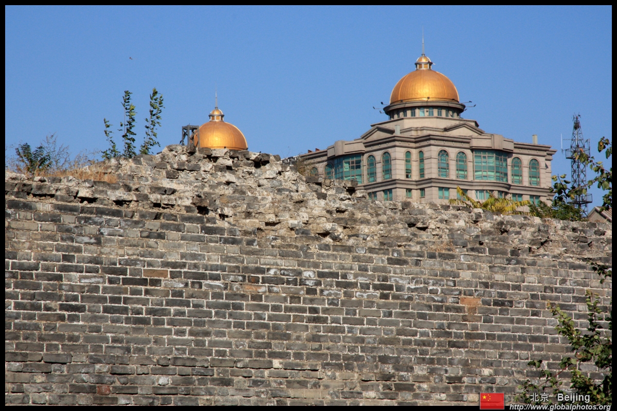
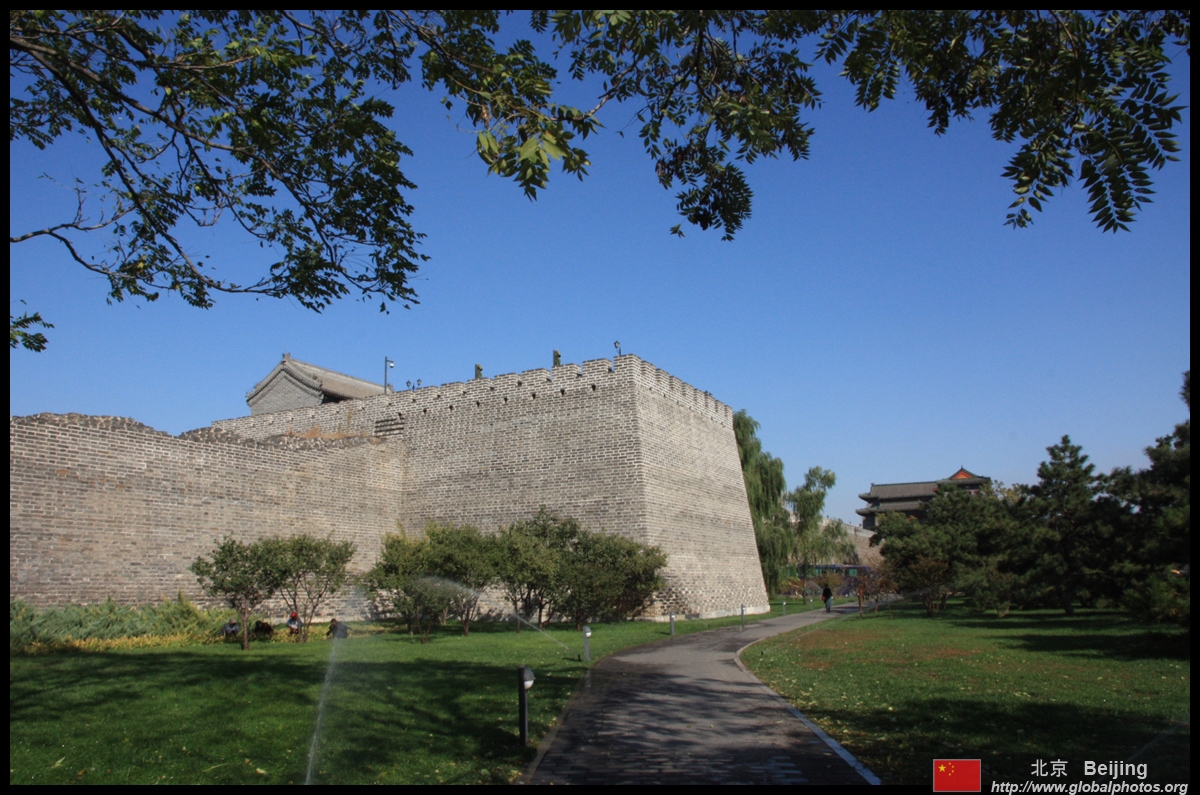
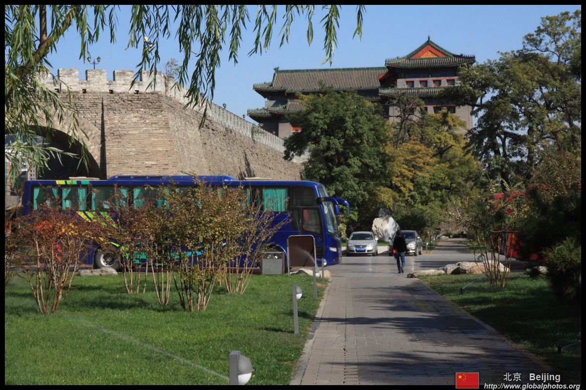
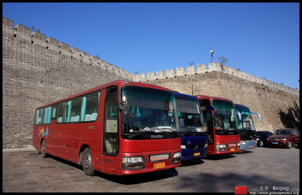
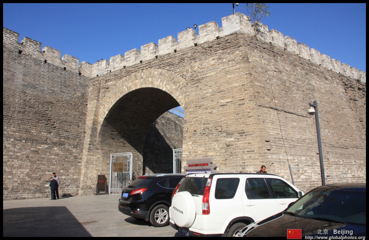
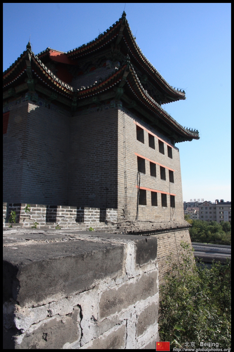
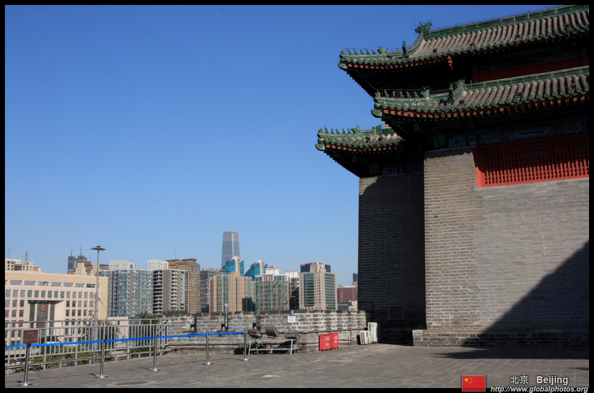
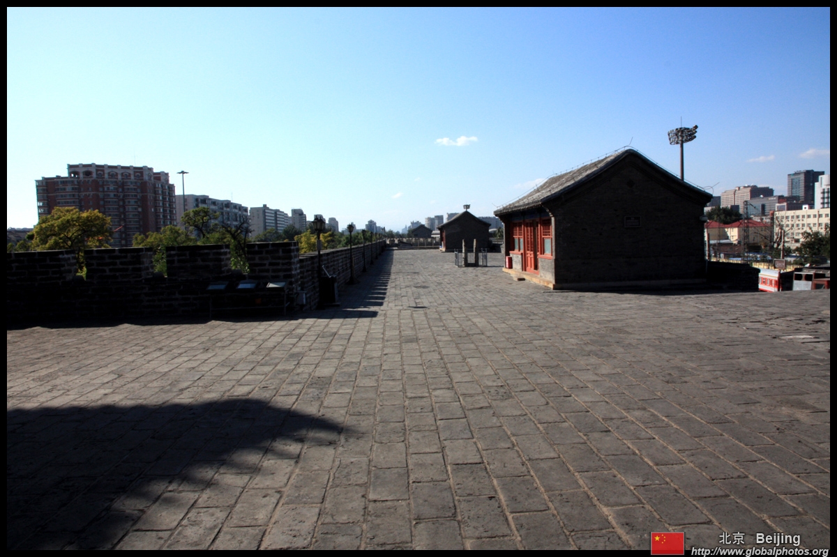
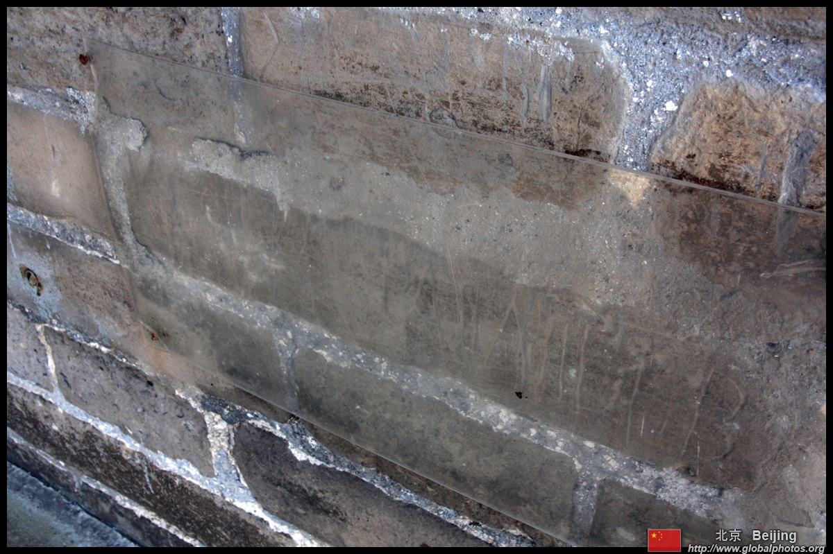
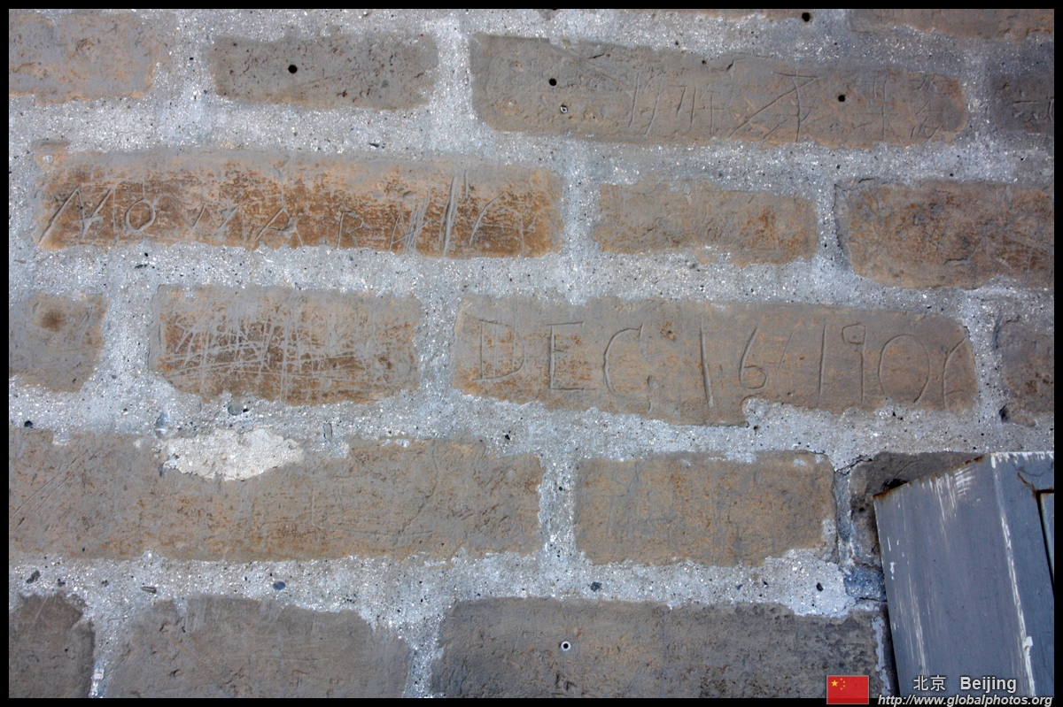
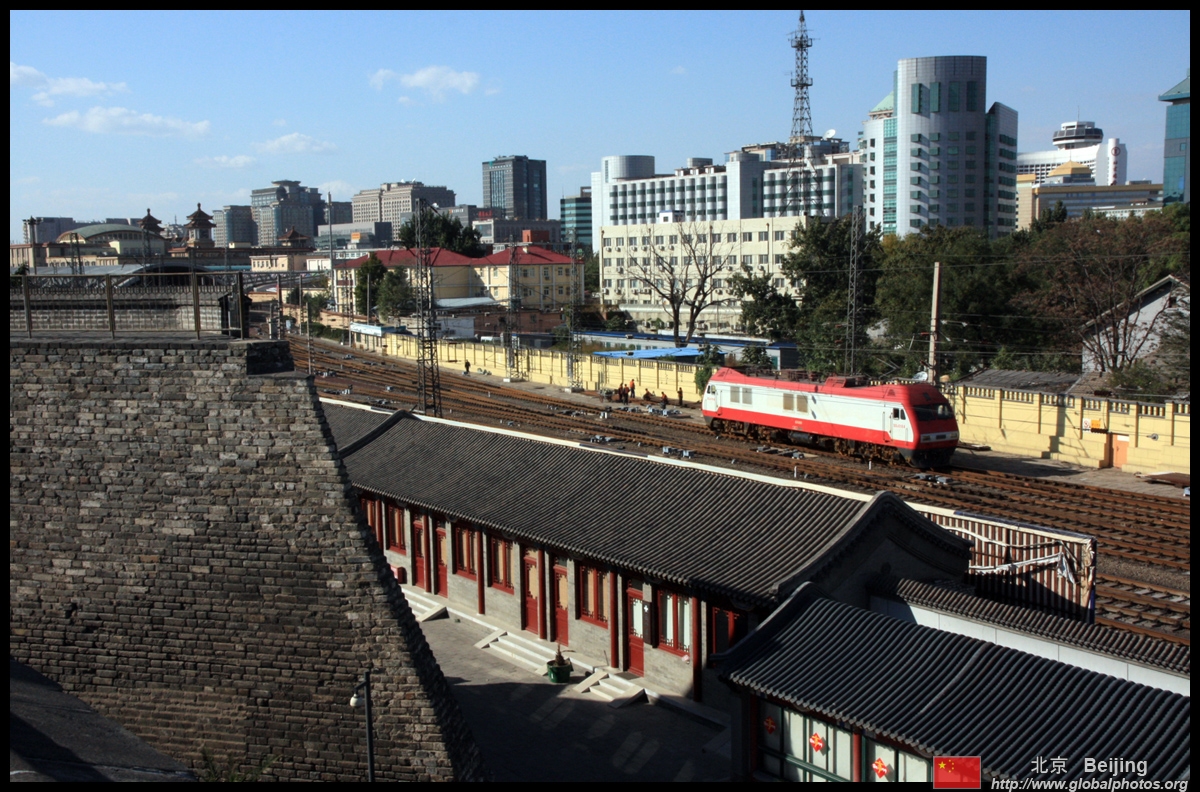
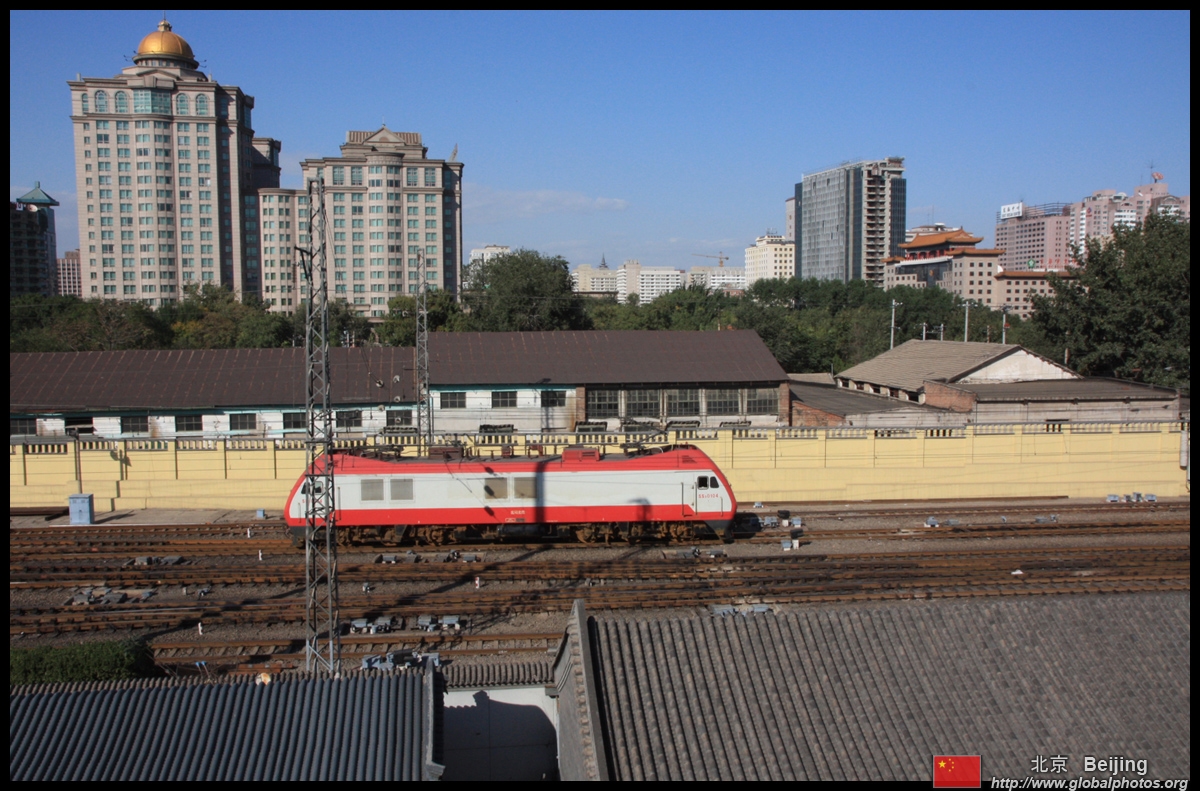
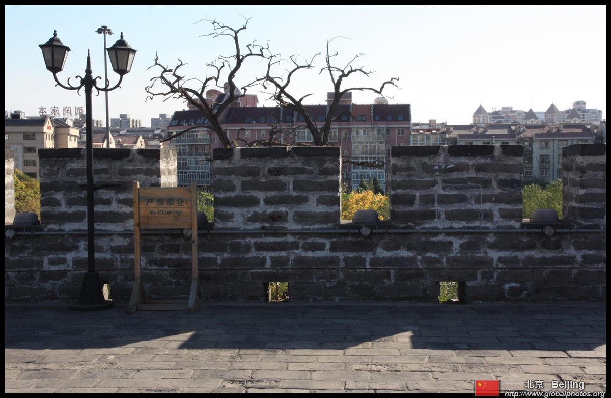
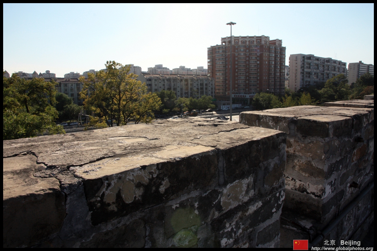
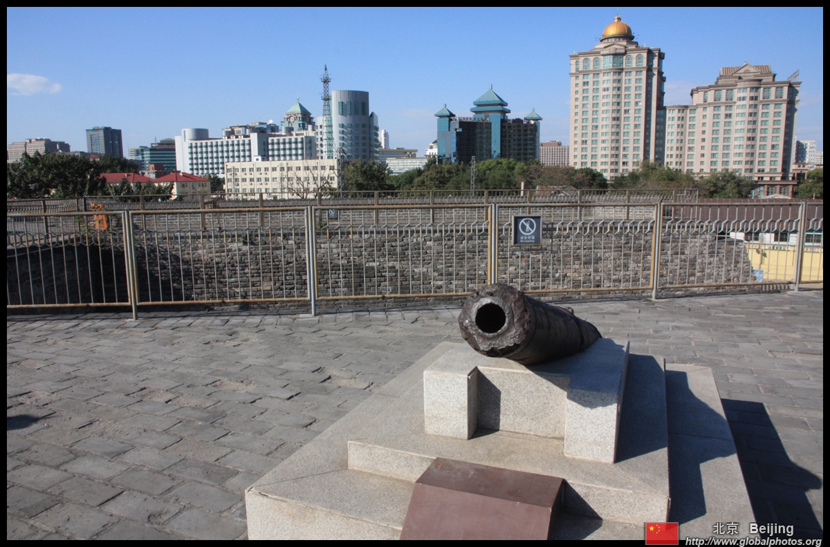
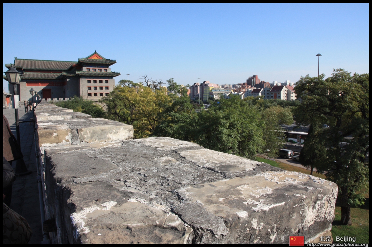
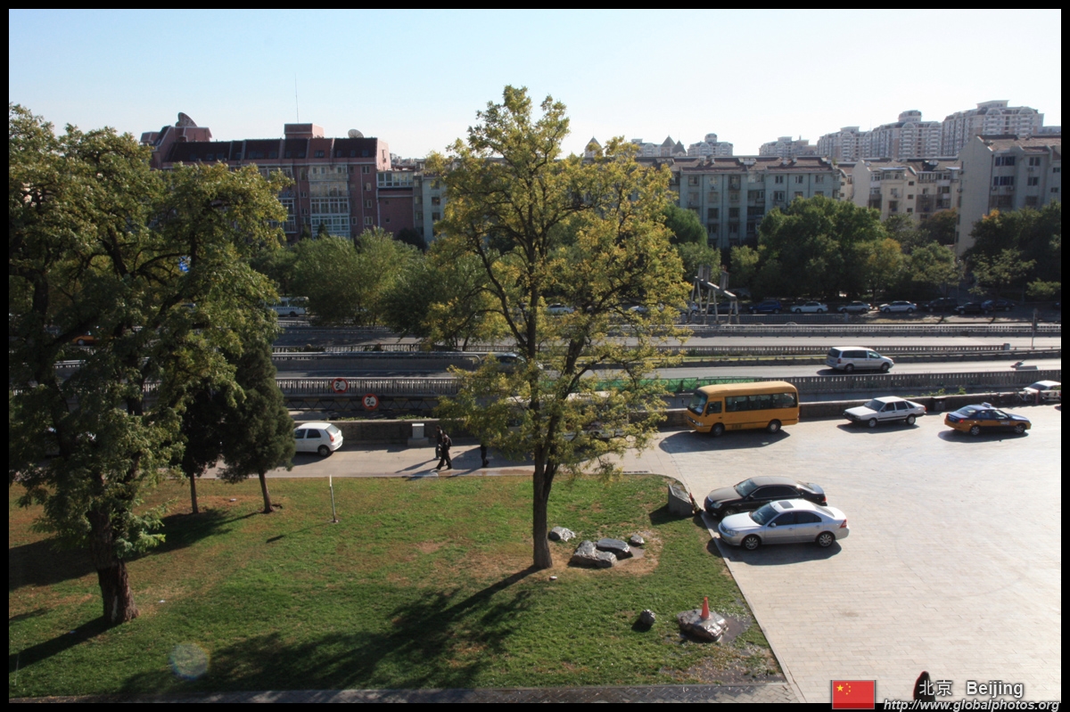
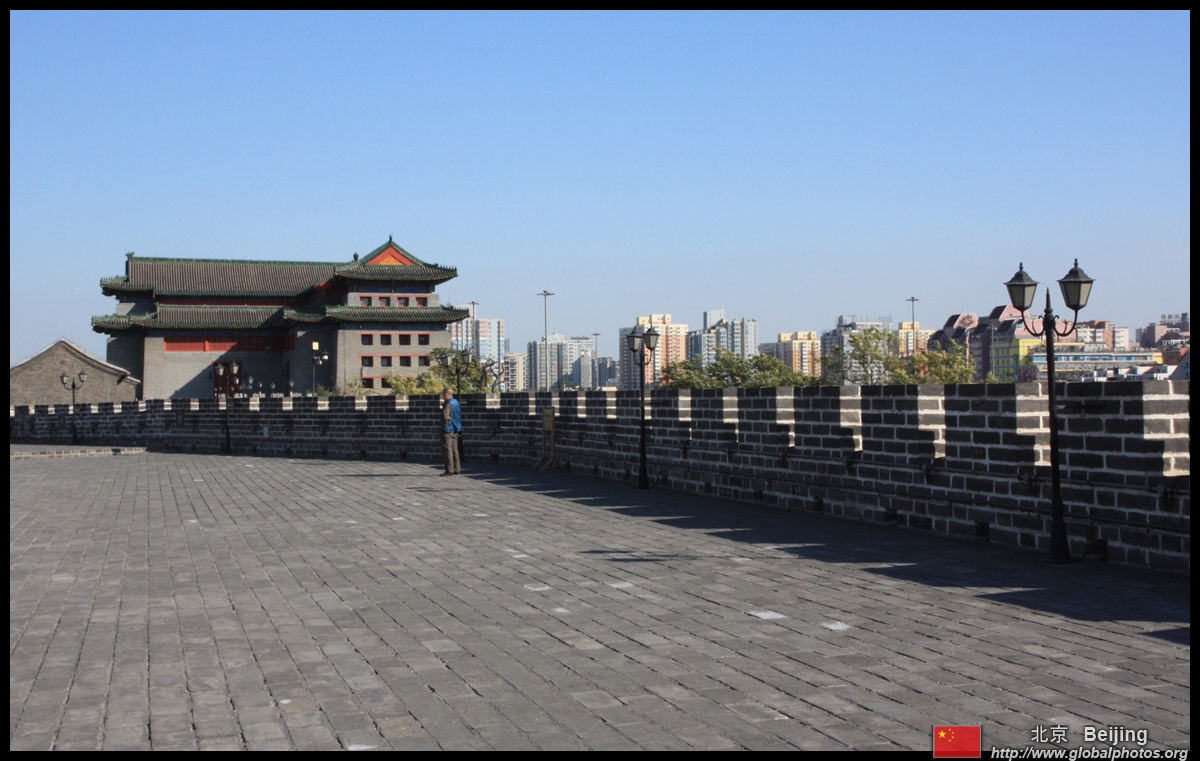
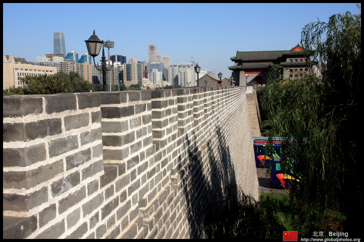
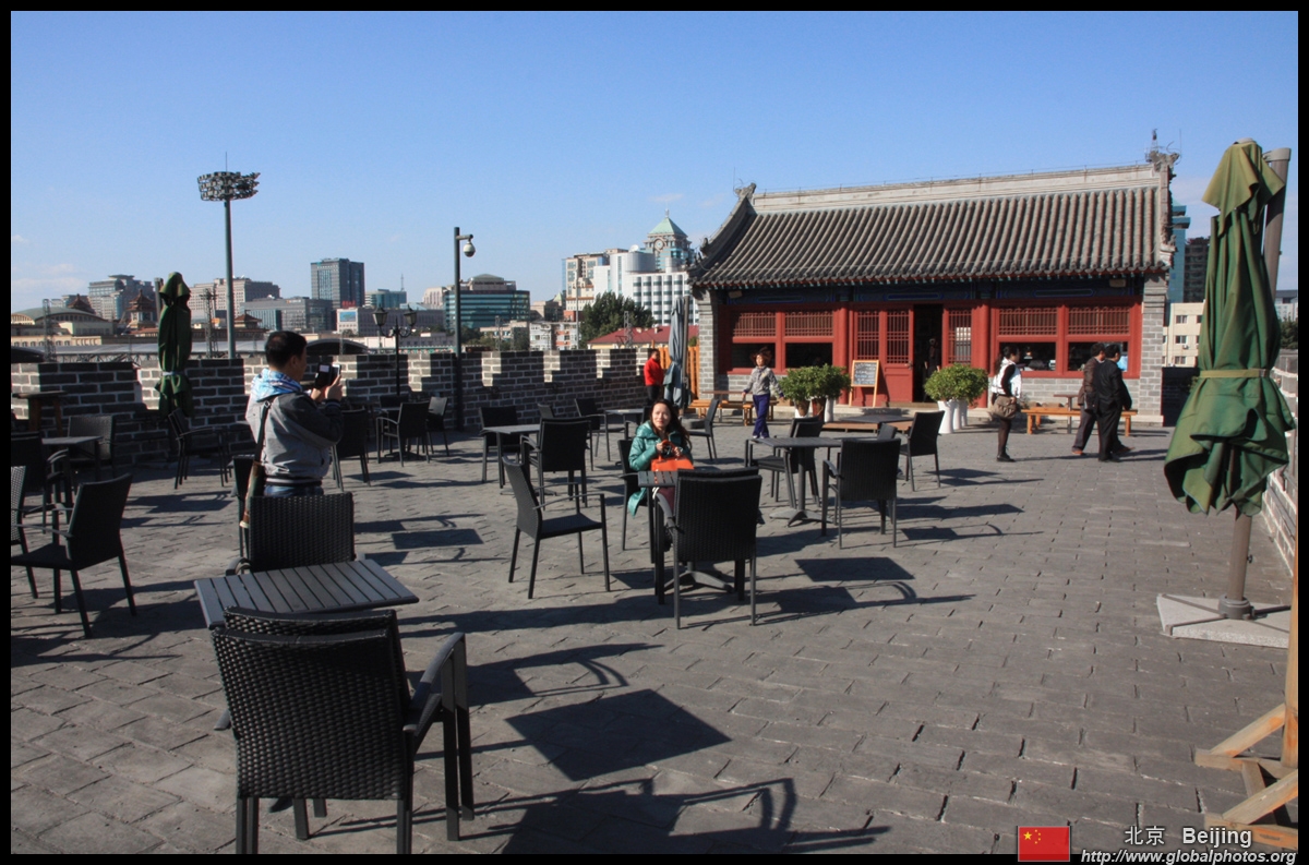
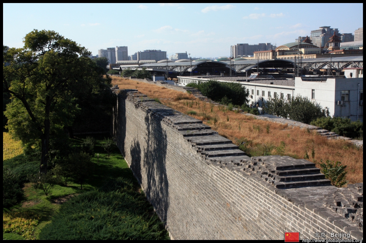
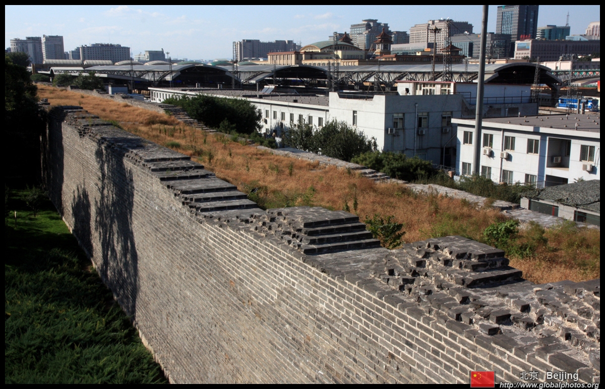
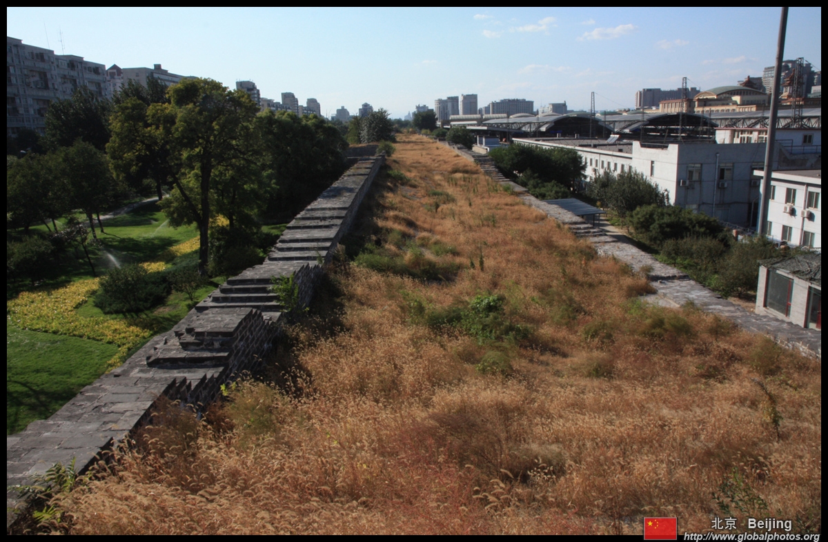
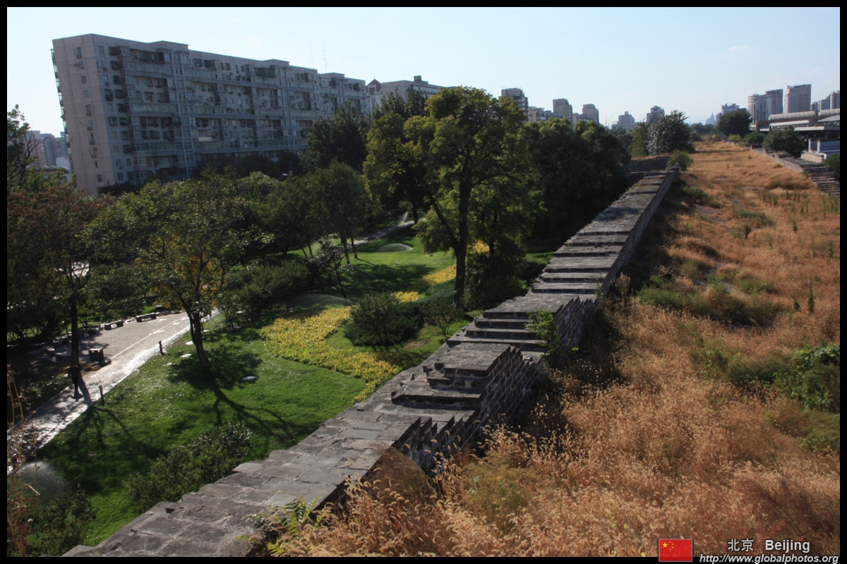
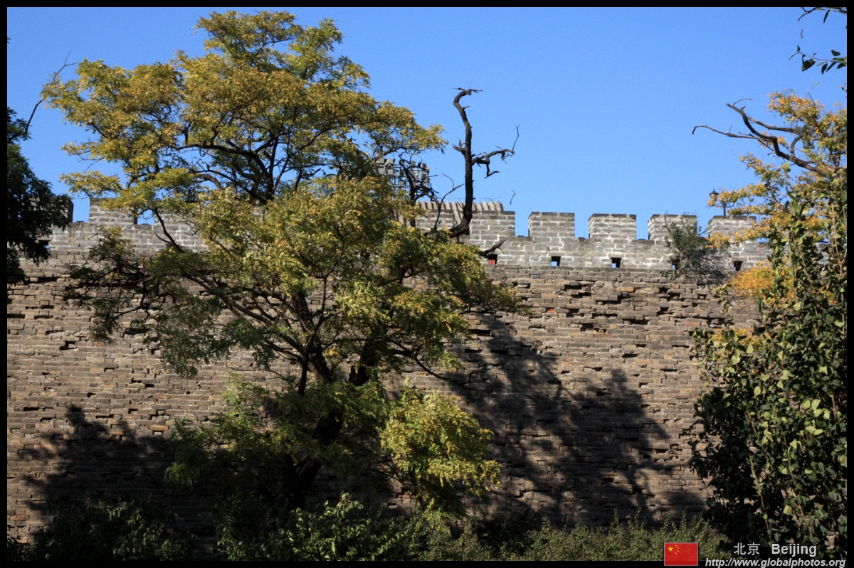
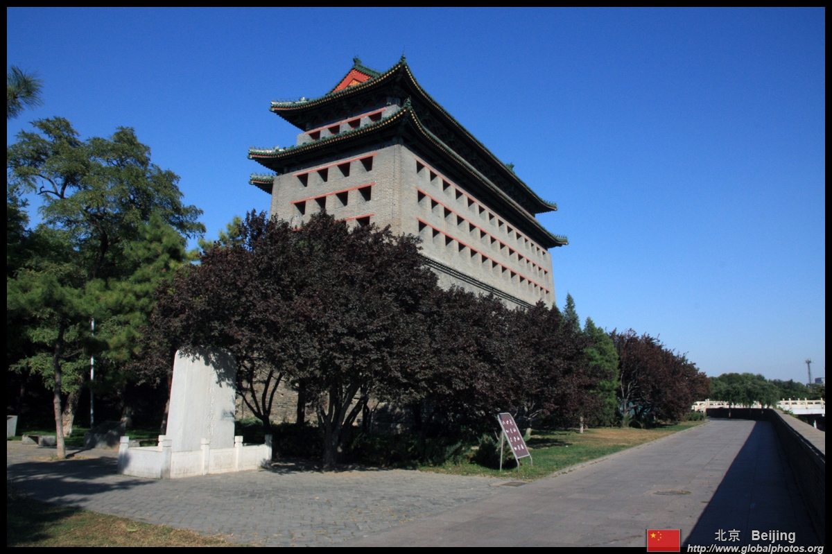
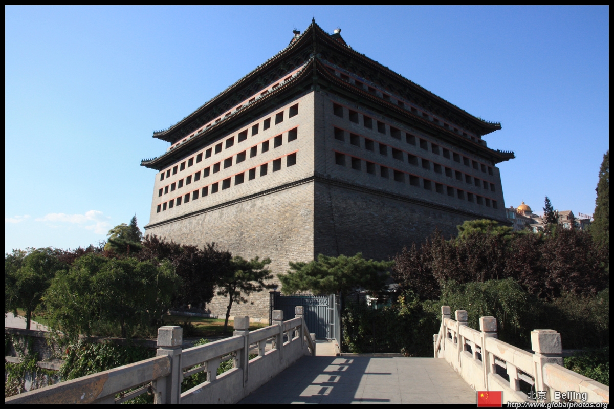
The Ming City Wall Ruins Park is all that is left of the original 15th century city walls that once stretched 24km long. Roads and subways caused most of it to be demolished back in the 1960s. This park now has only a 1.5km section of wall on display just a short walk from Chongwenmen station on Lines 2 and 5.
|
|||
 |
 |
 |
 |
 |
 |
 |
 |
 |
 |
 |
 |
 |
 |
 |
 |
|
|||
 |
 |
 |
 |
 |
 |
 |
 |
 |
 |
 |
 |
 |
 |
 |
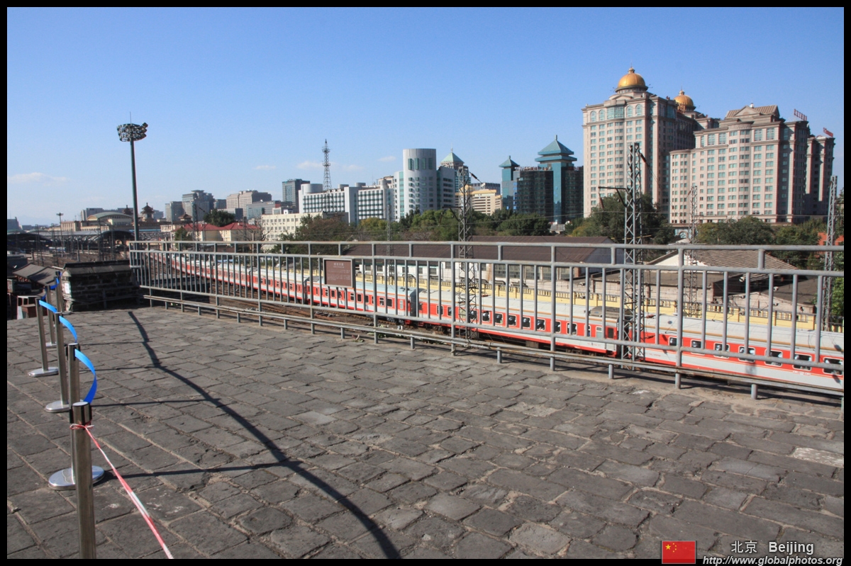 |
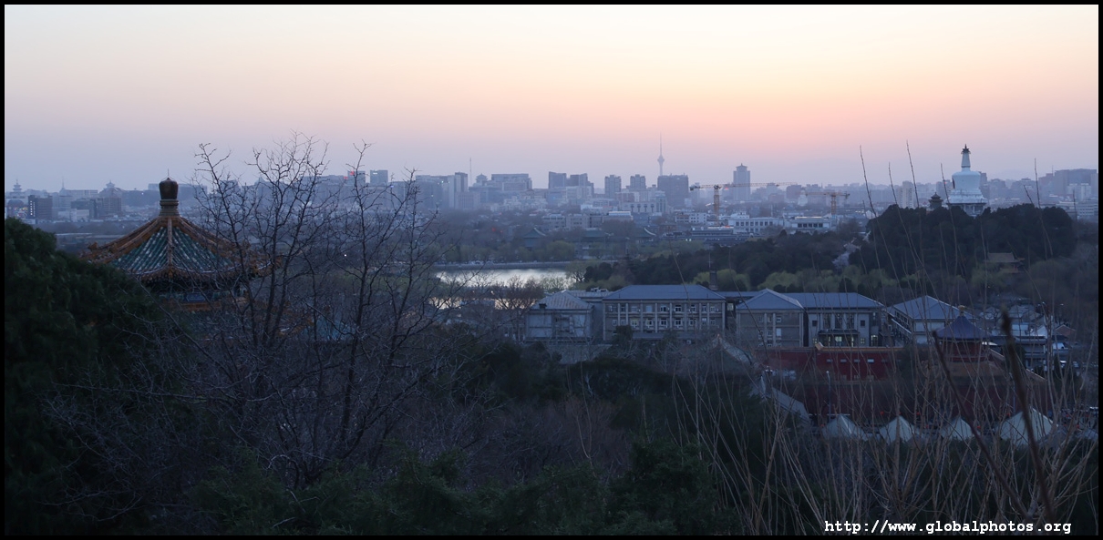
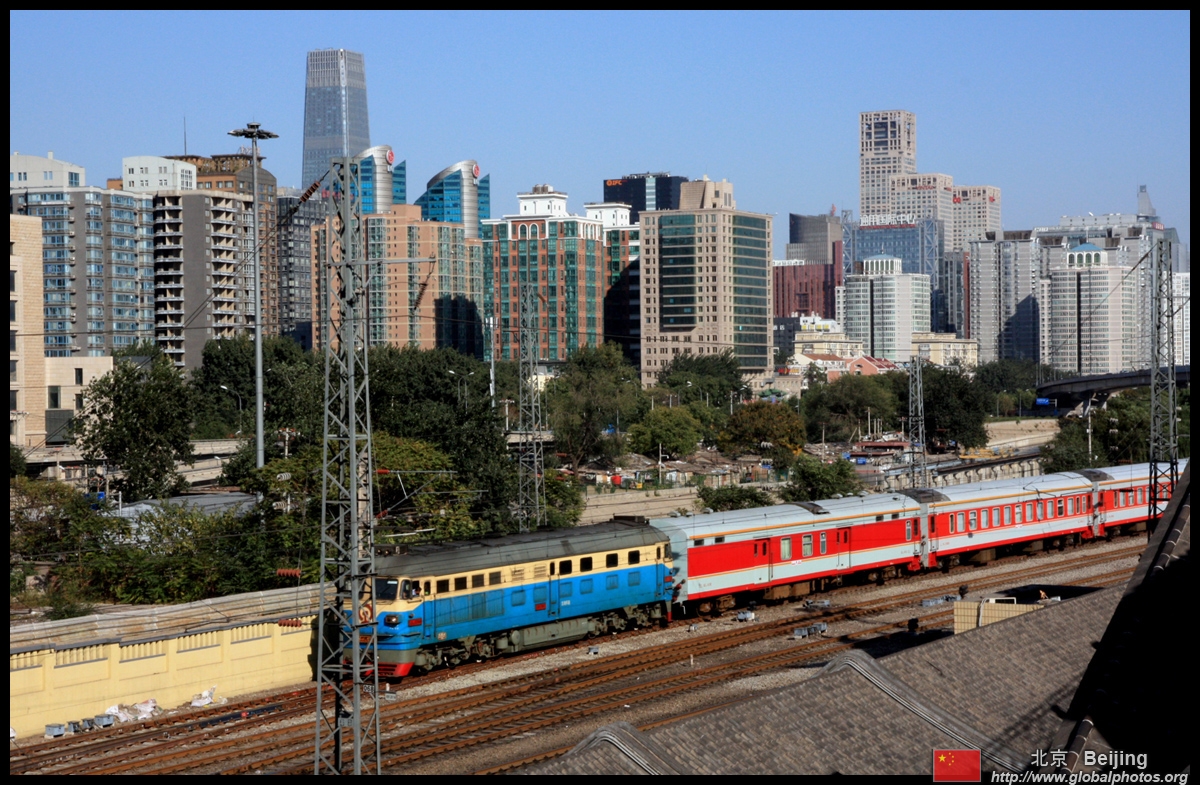
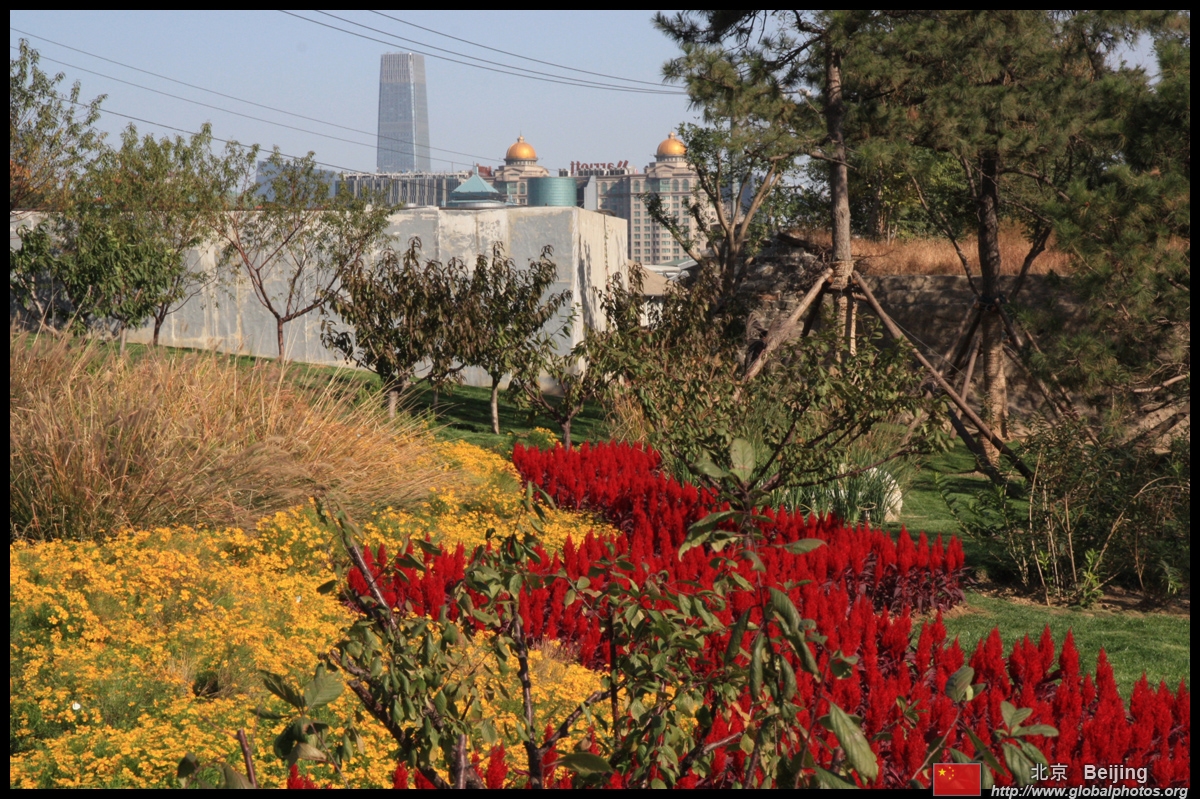
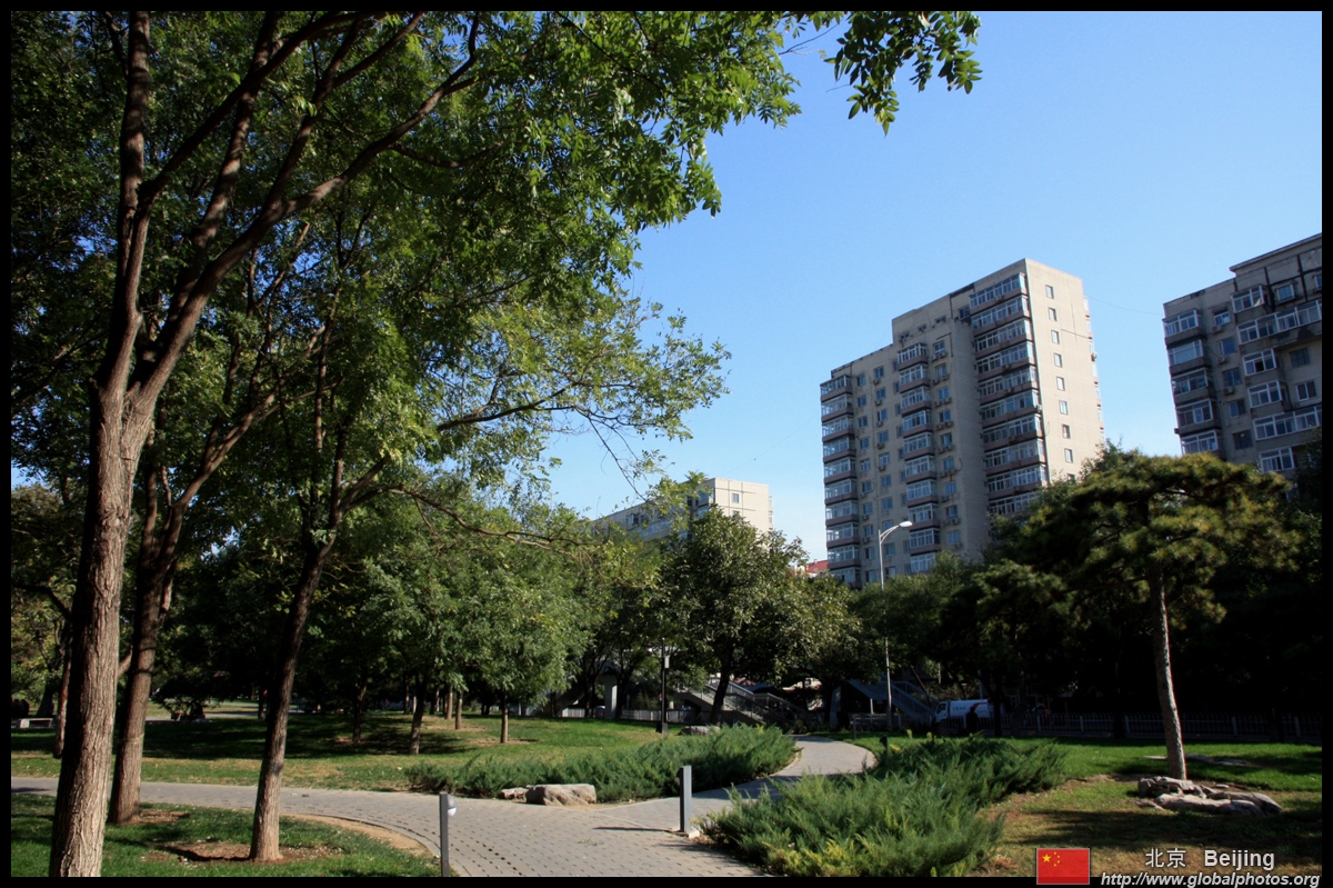
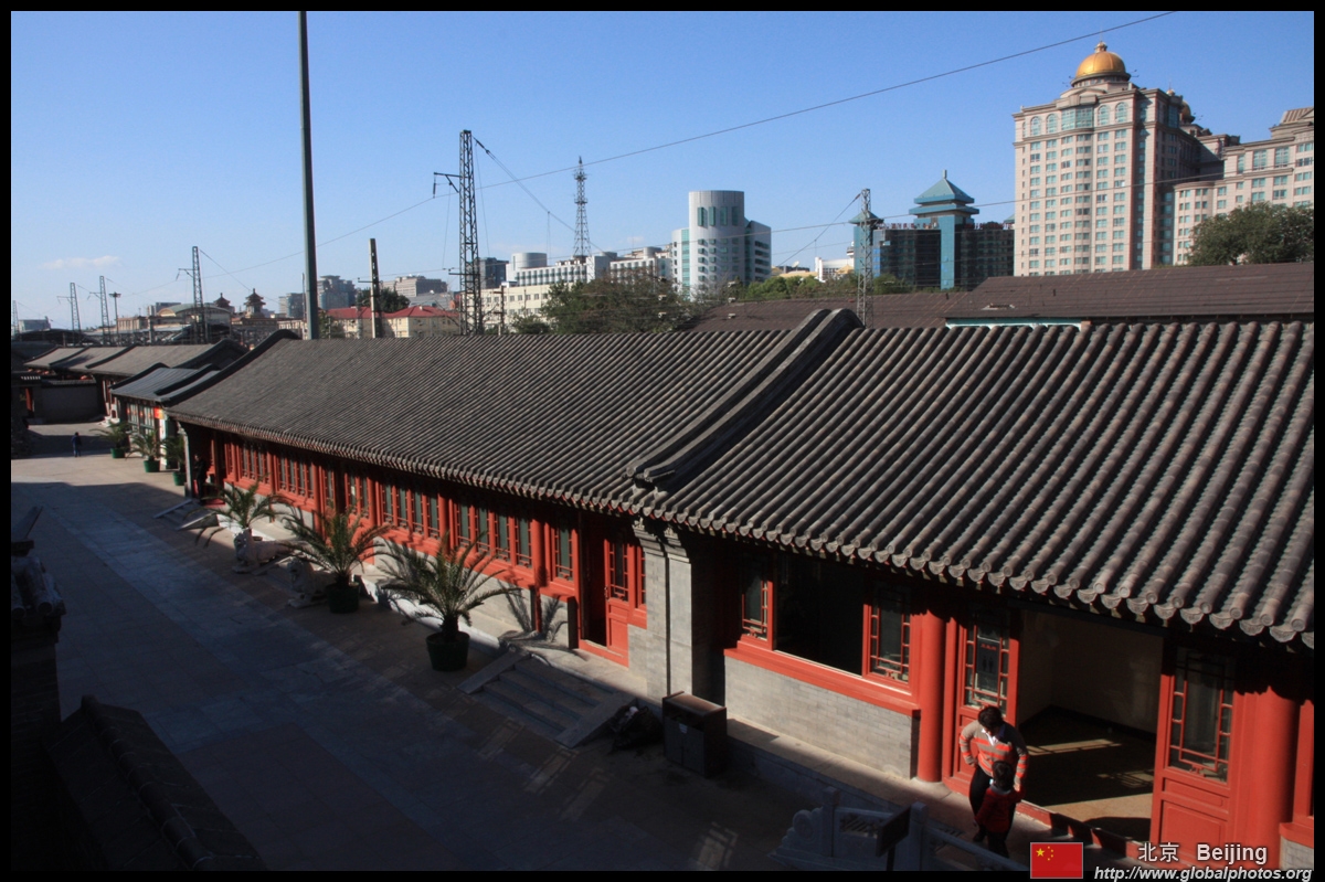
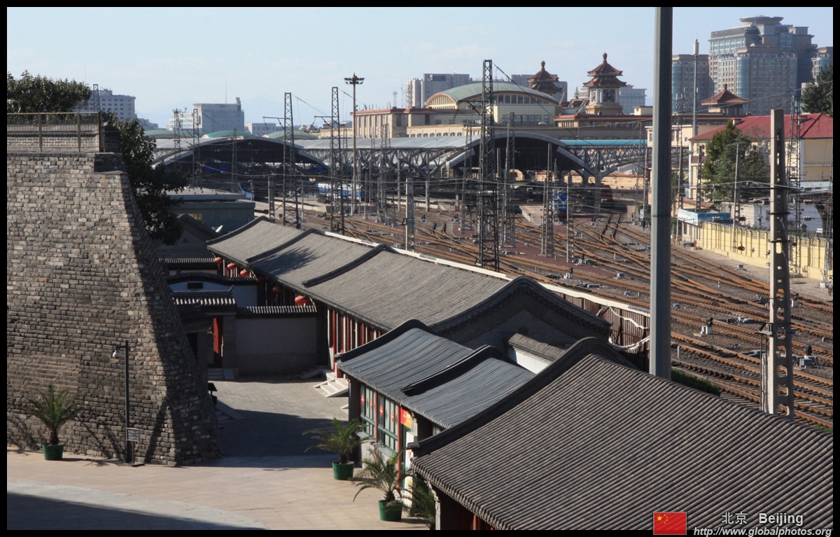
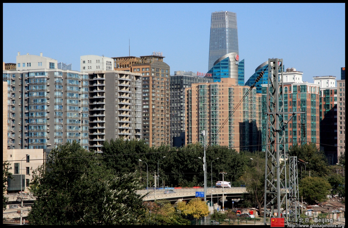
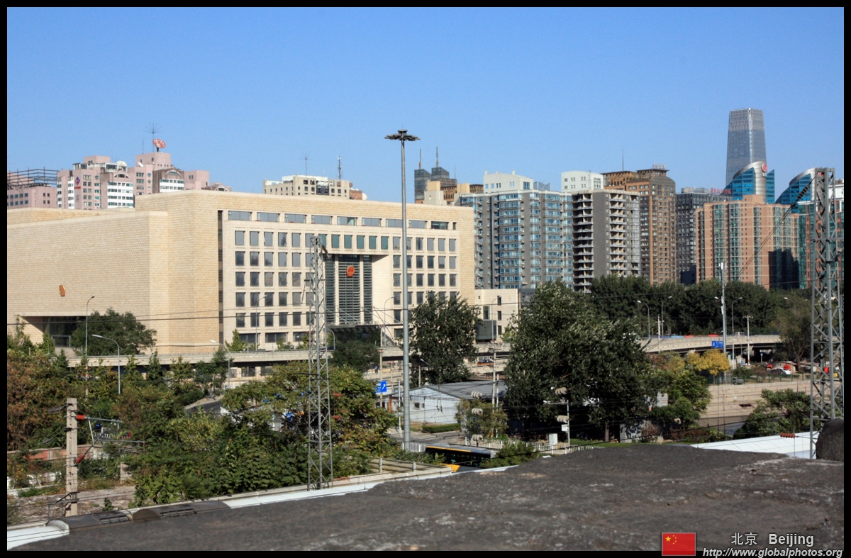
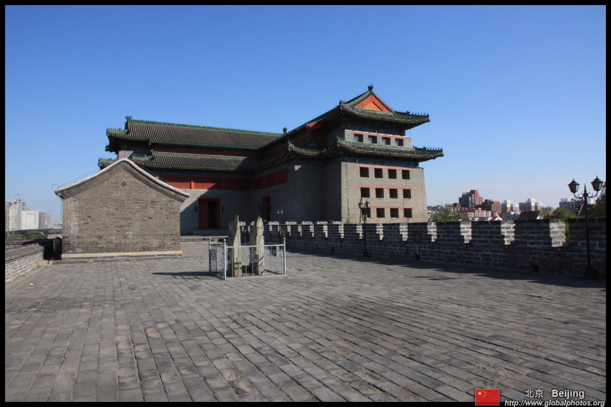
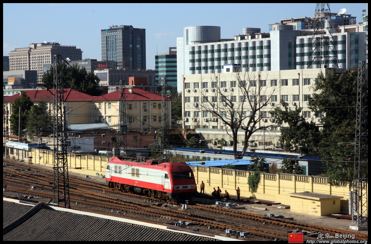
From up here, the city has built up all around these historic relics.
|
|||
 |
 |
 |
 |
 |
 |
 |
 |
 |
 |
 |
 |
 |
 |
 |
 |
|
|||
 |
 |
 |
 |
 |
 |
 |
 |
 |
 |
 |
 |
 | |||
| . . | |||
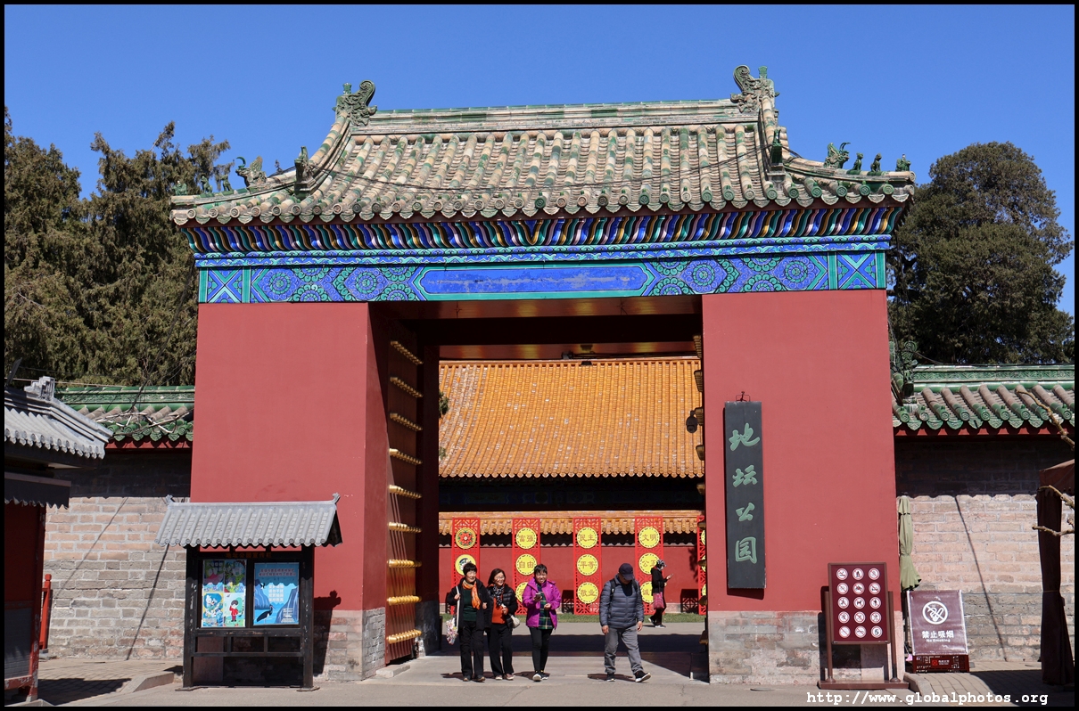
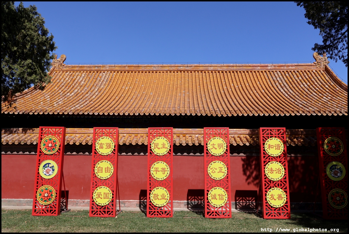
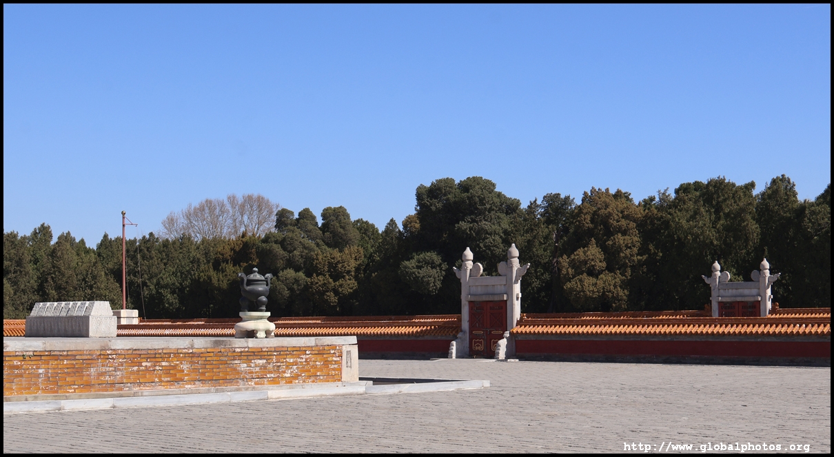
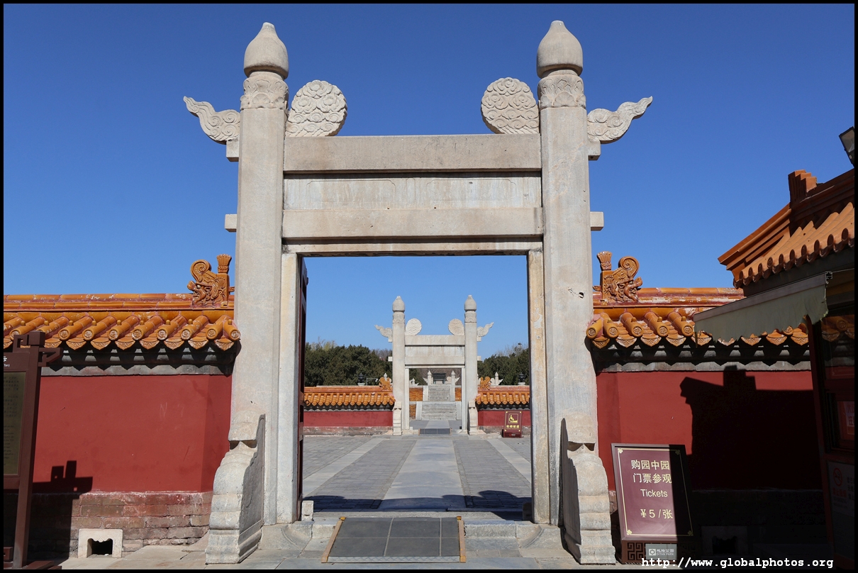
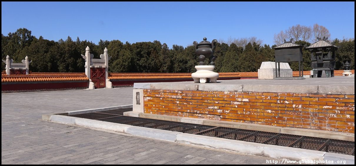
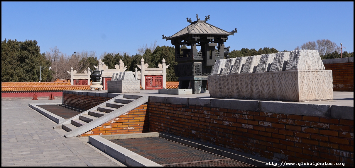
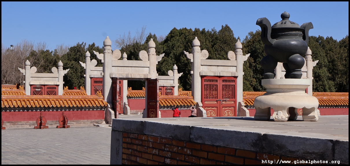
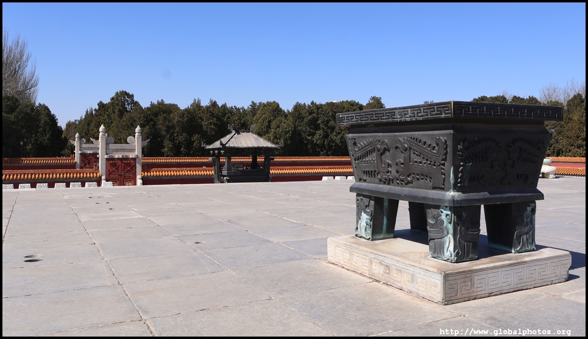
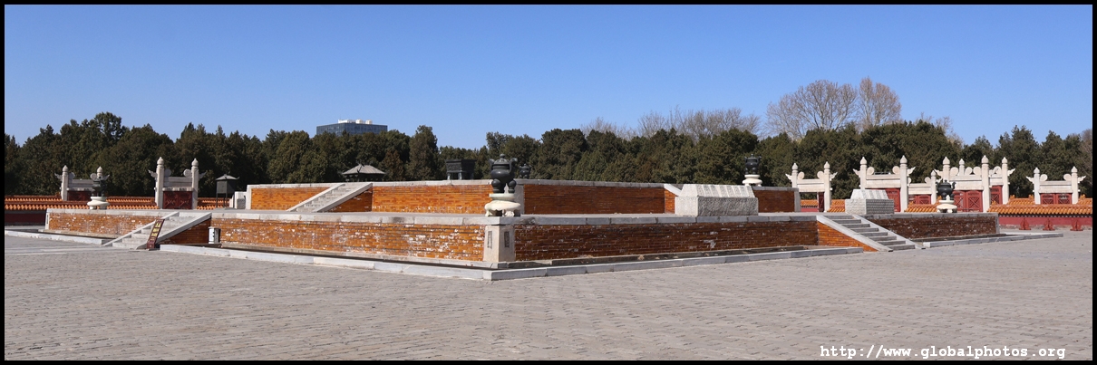
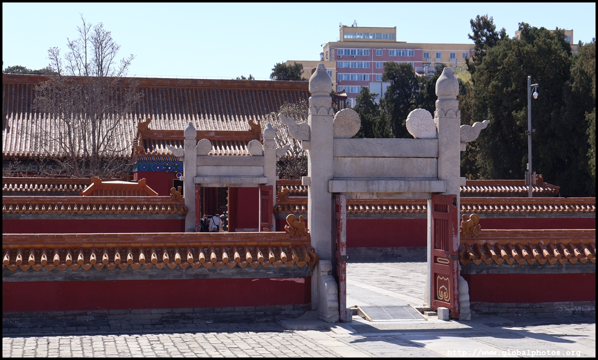
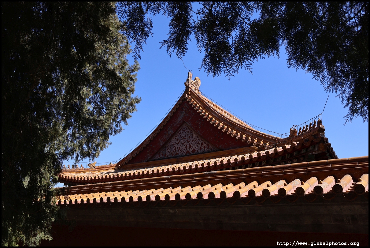
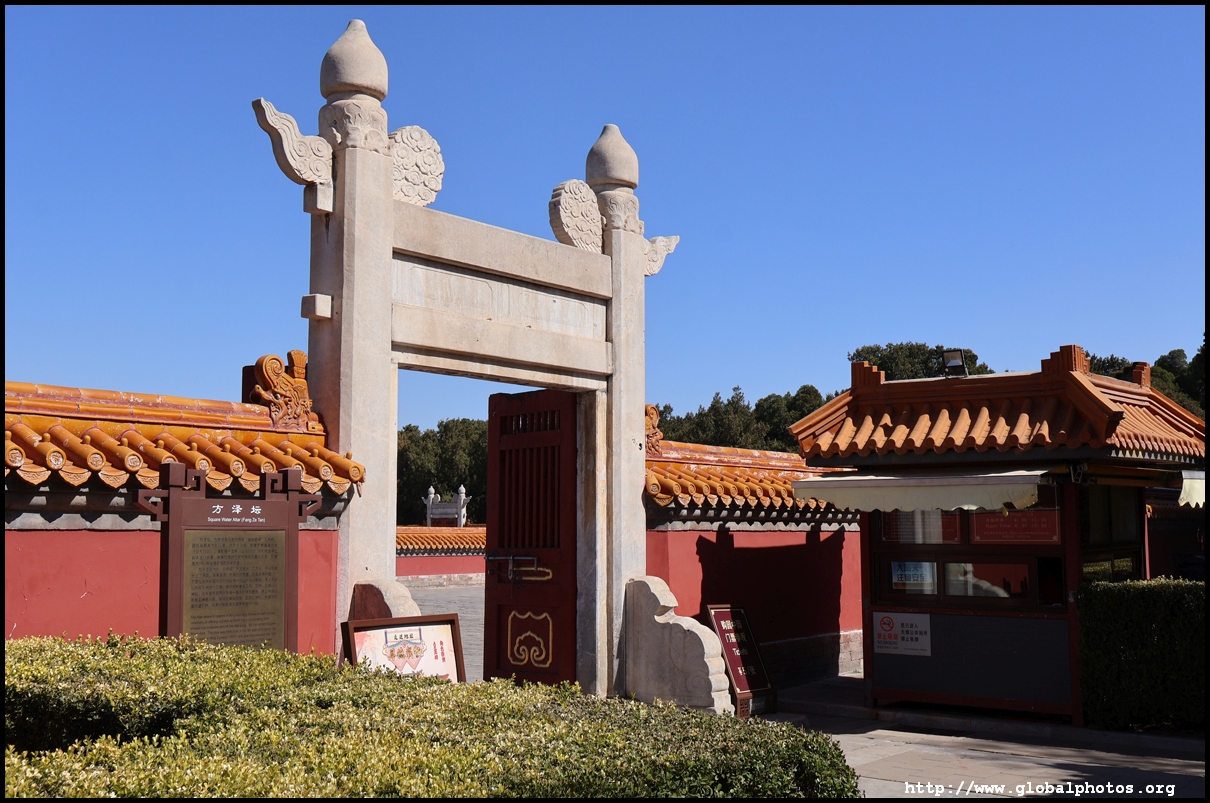
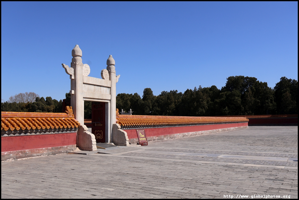
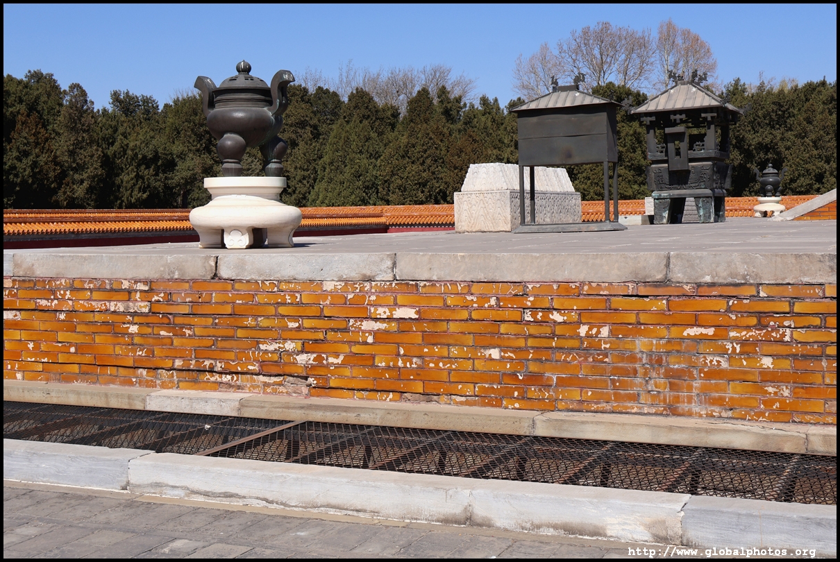
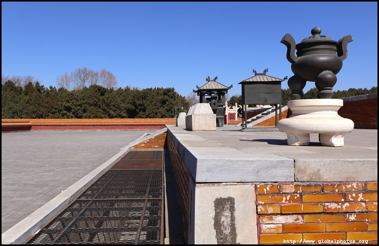
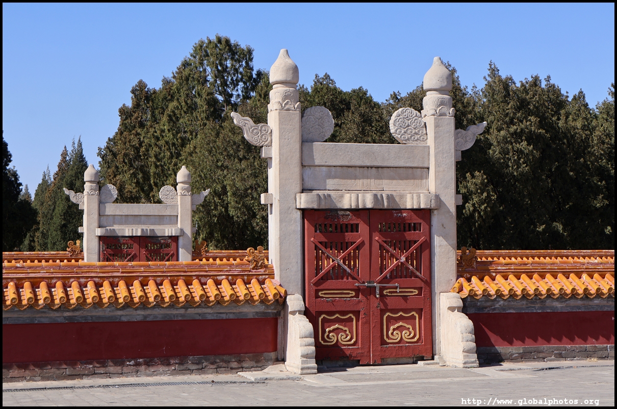
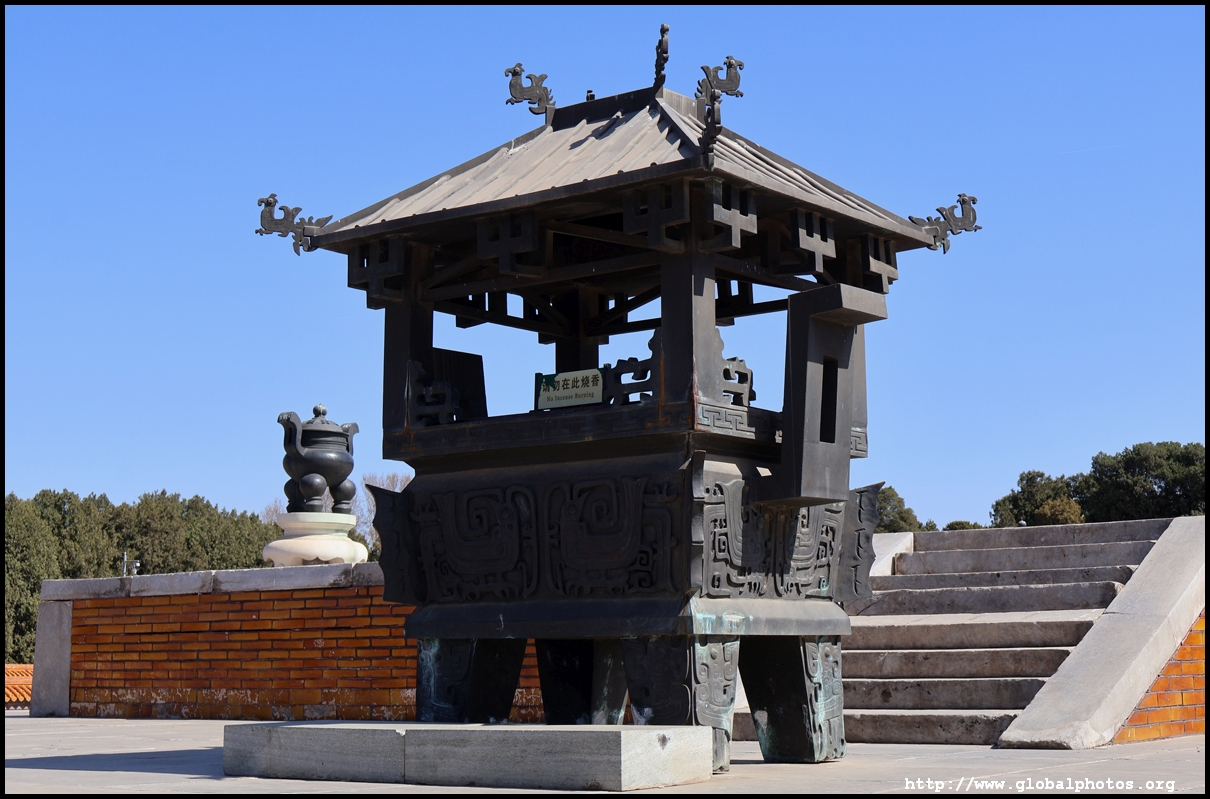
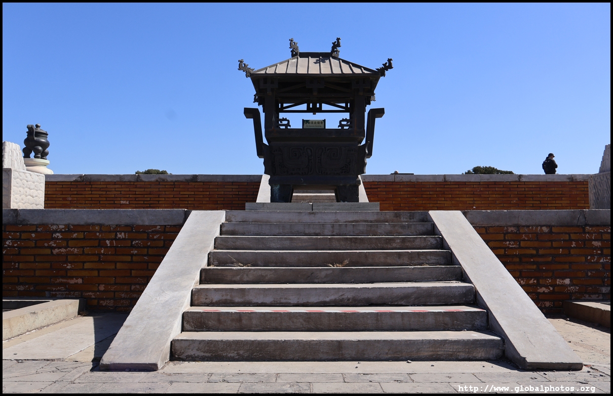
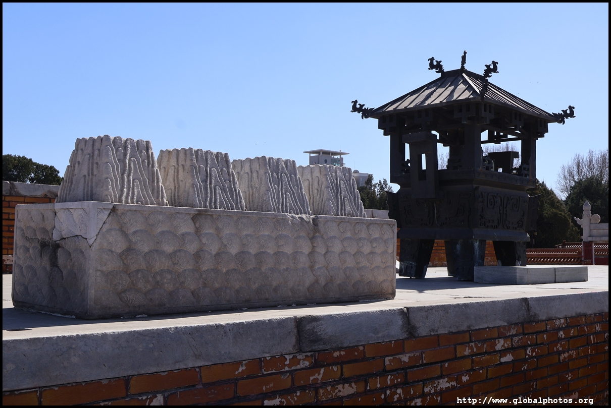
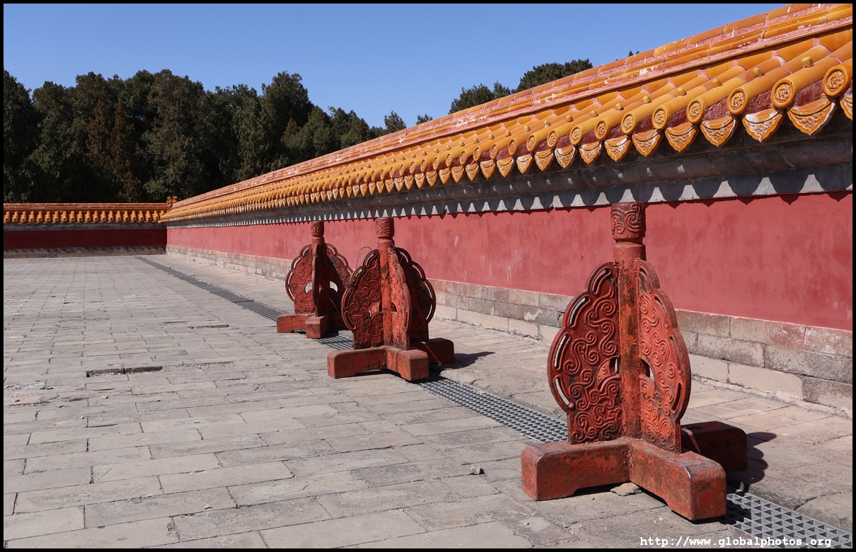
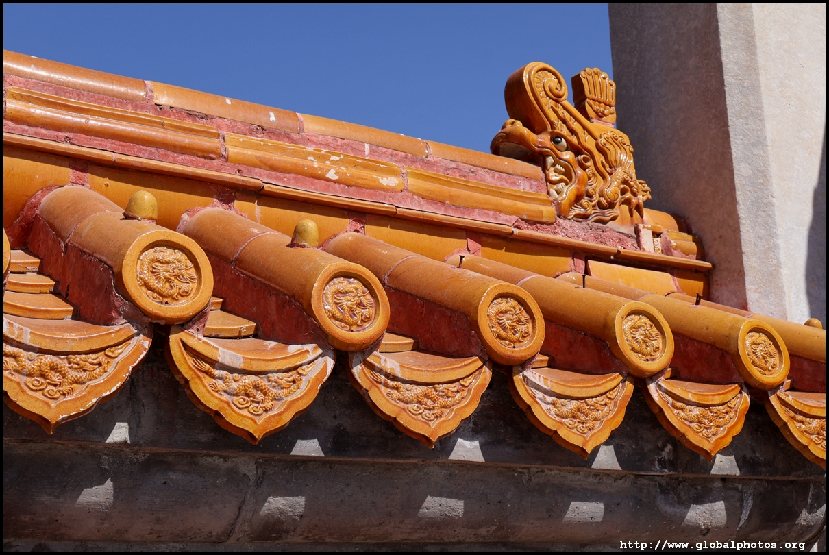
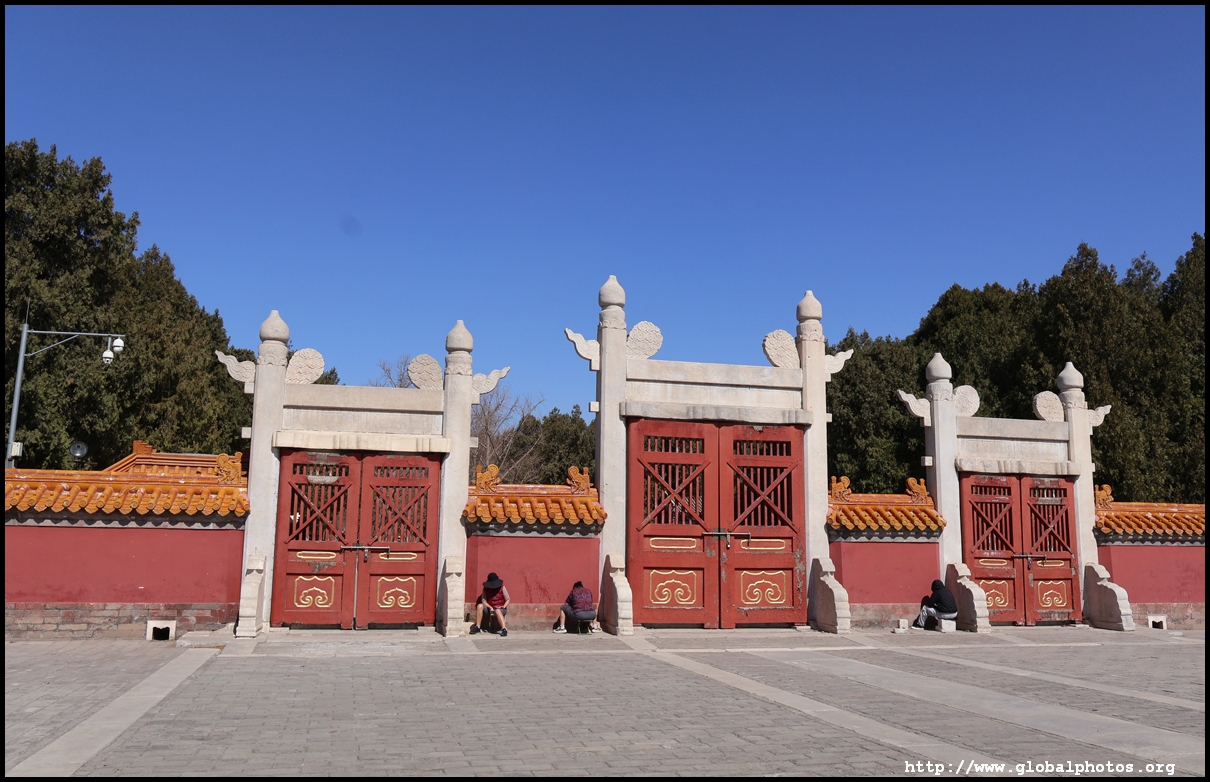
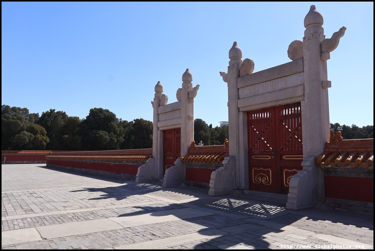
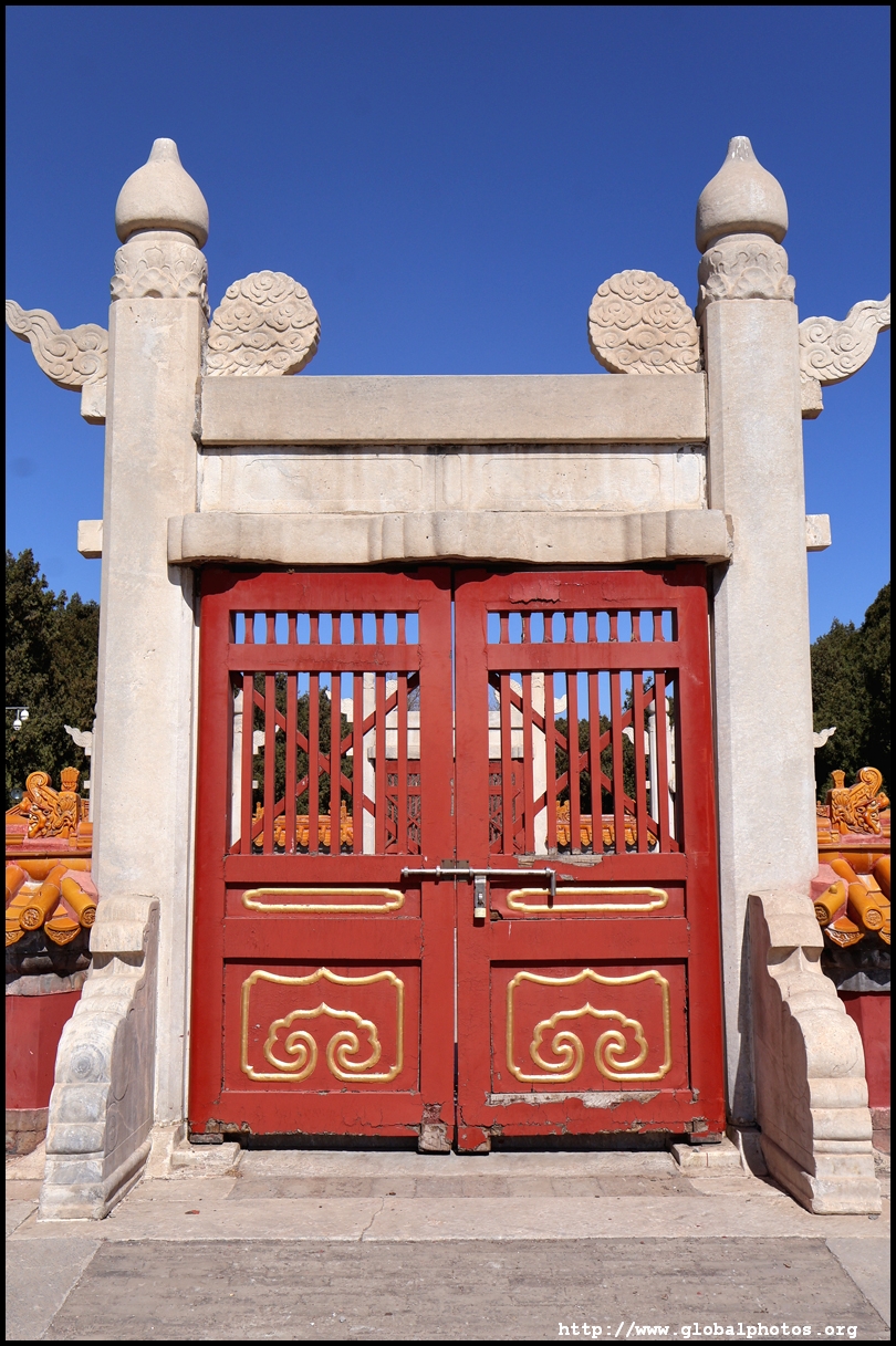
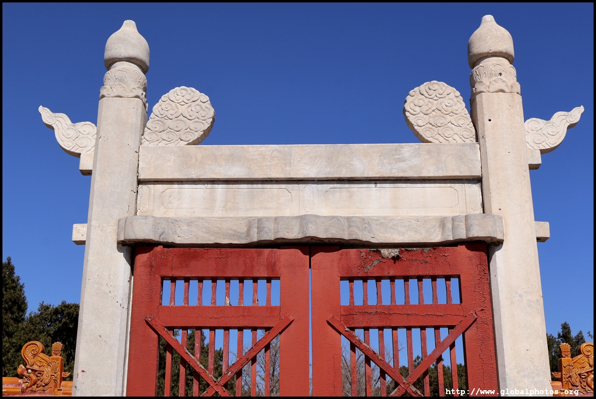
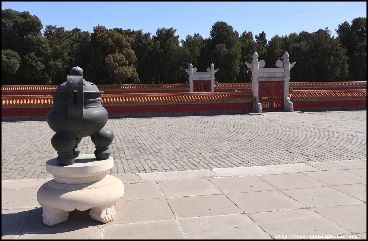
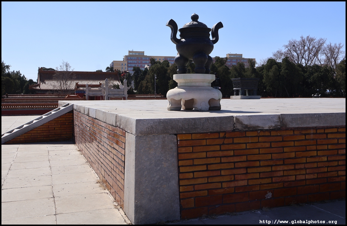
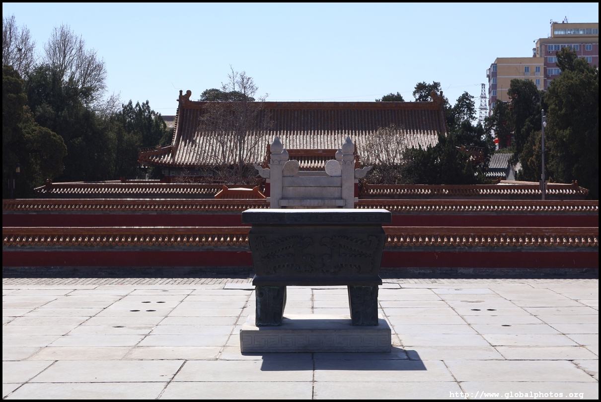
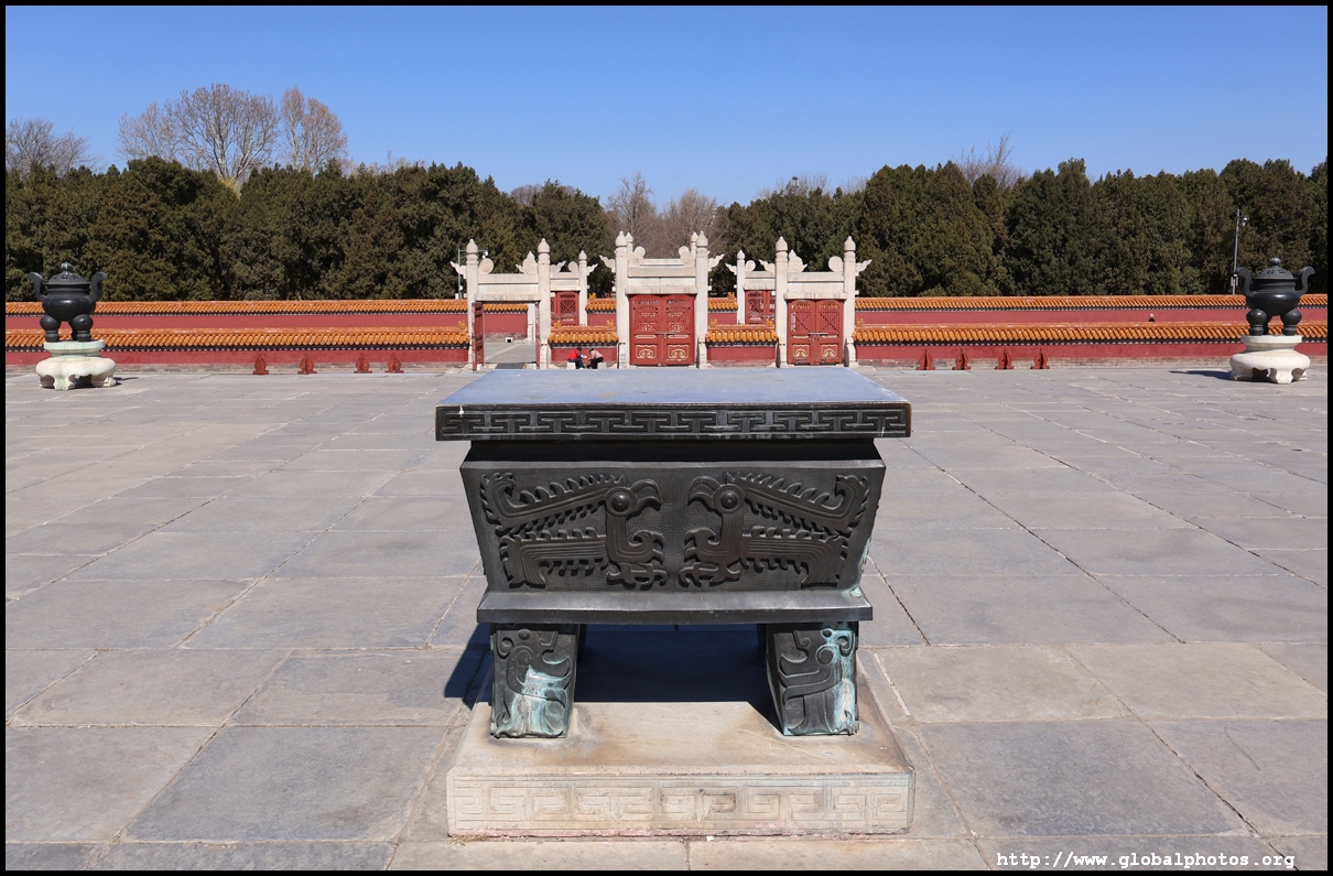
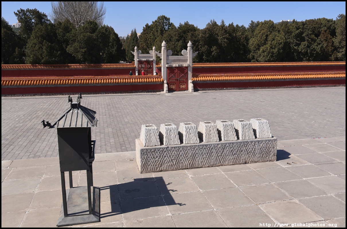
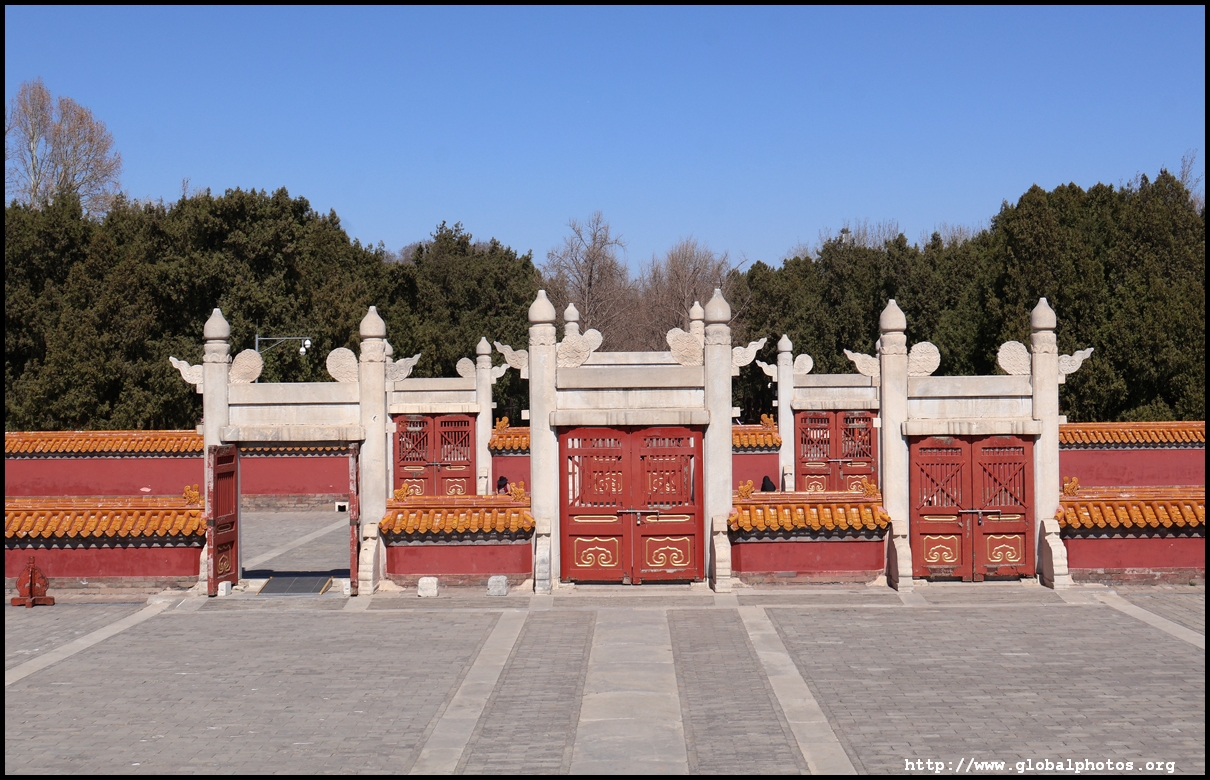
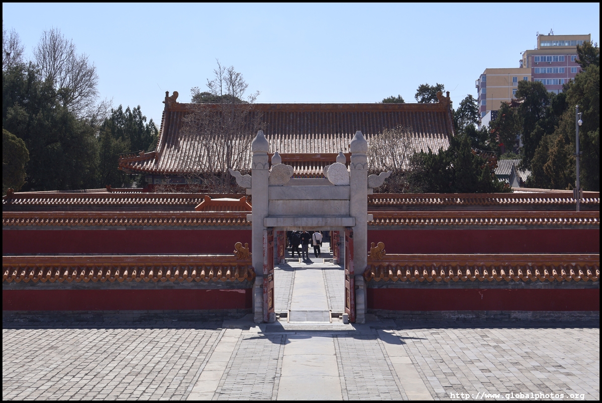
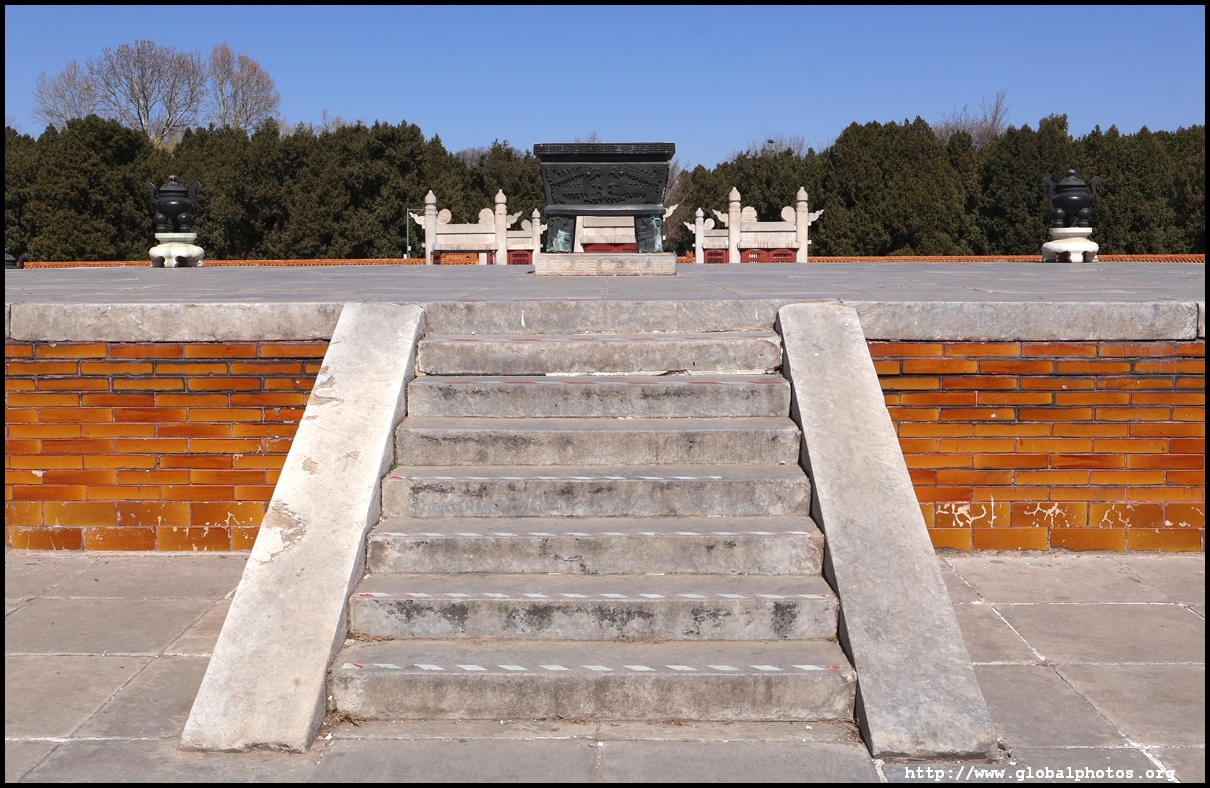
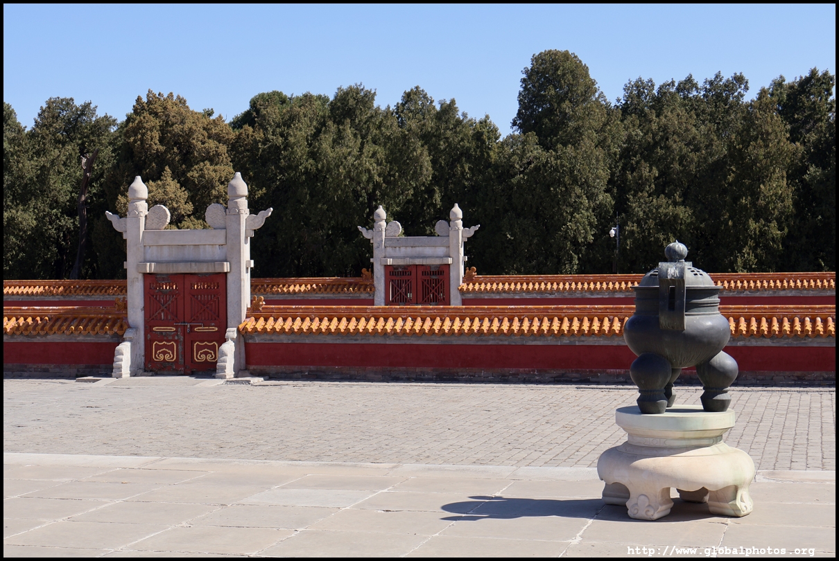
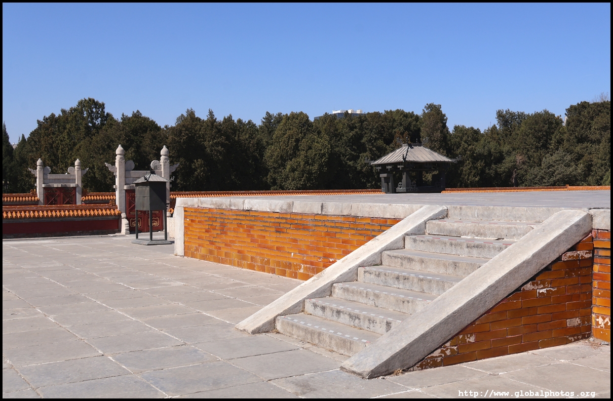
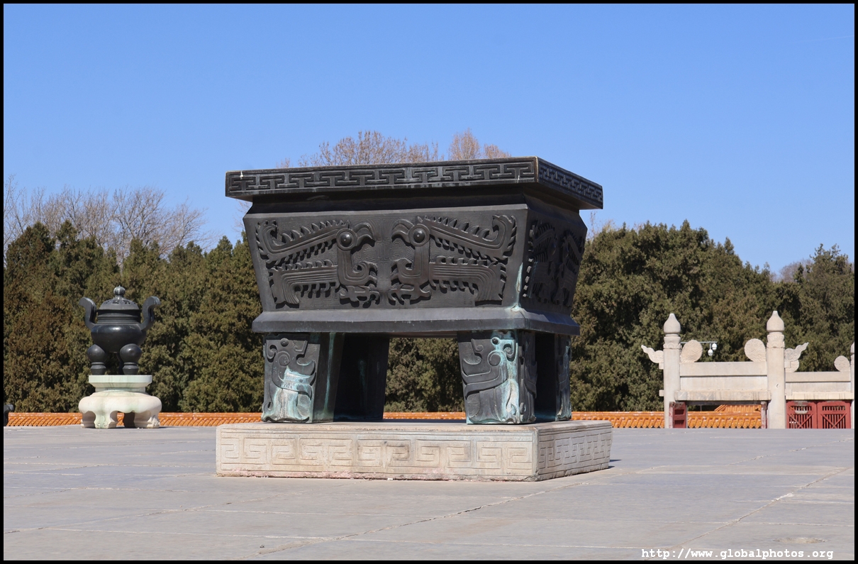
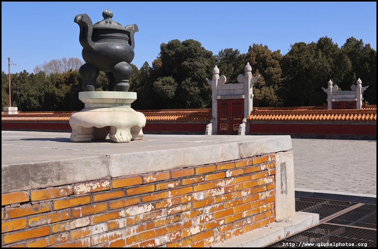
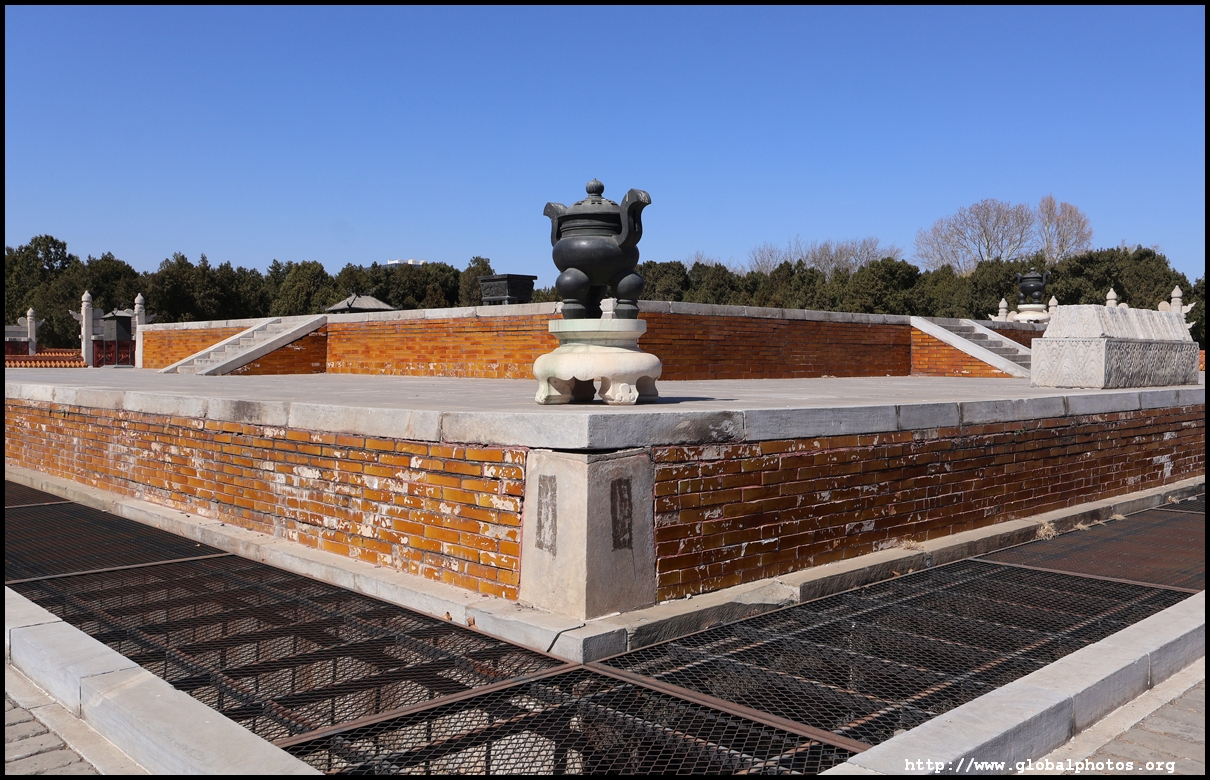
Ditan is one of 4 heavenly altars used for imperial rituals. This one was used for the summer solstice, although it's more used as a municipal park today instead of a historic site. The other altars are the more famous Temple of Heaven, Altar of the Sun, and Altar of the Moon.
| |||
 |
 |
 |
 |
 |
 |
 |
 |
 |
 |
 |
 |
 |
 |
 |
 |
 |
 |
 |
 |
 |
 |
 |
 |
 |
 |
 |
 |
 |
 |
 |
 |
|
To re-use these photos or notify of errors, please email me. Thank you.
|
|||