Shanghai - The Bund Photo Gallery

Introduction
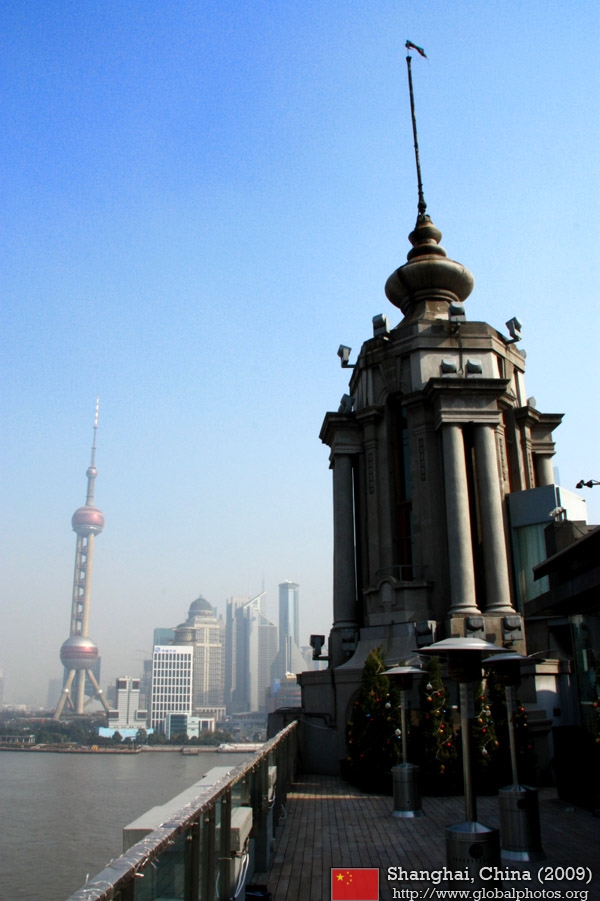
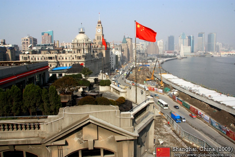
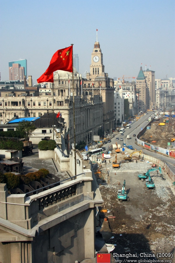
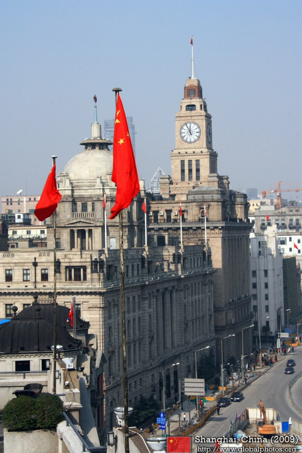
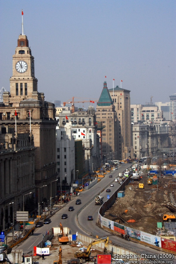
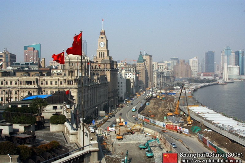
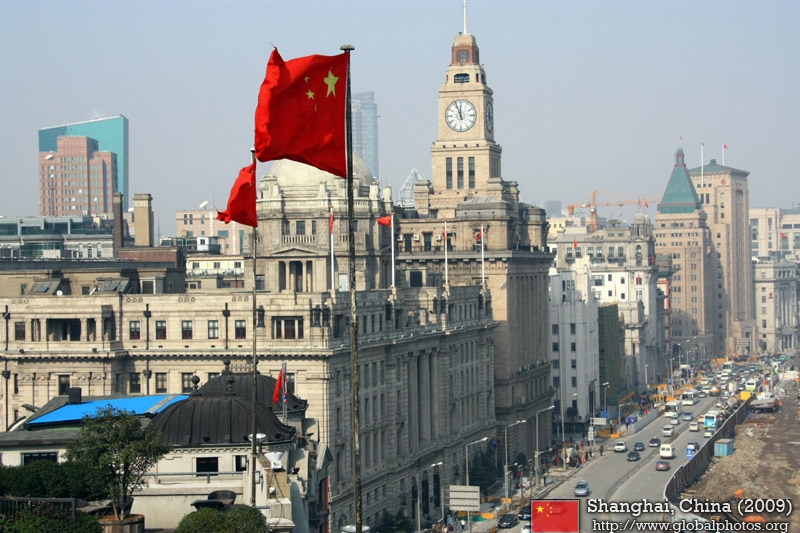
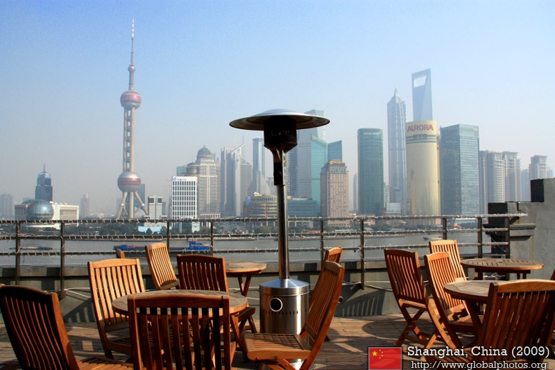
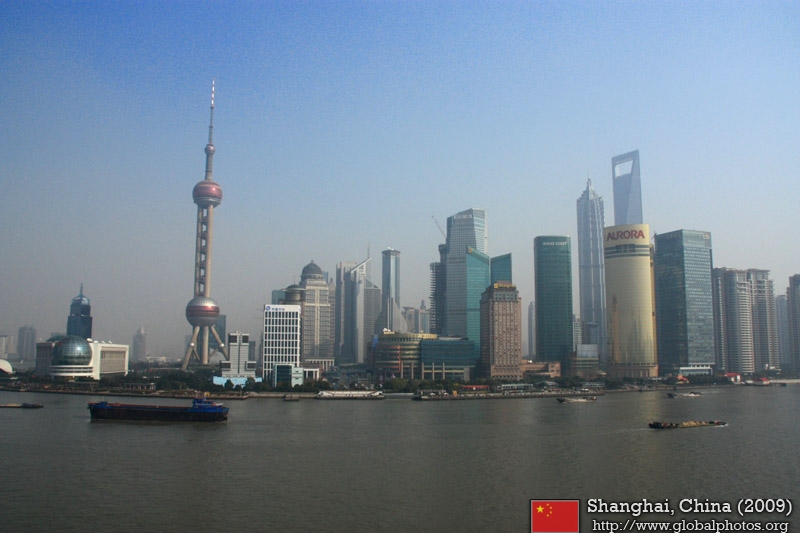
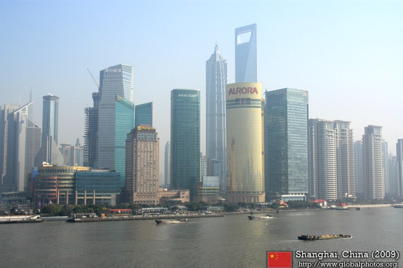
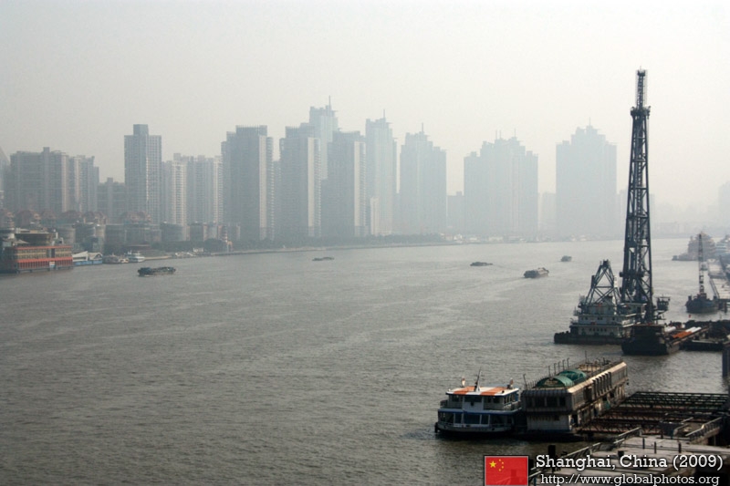
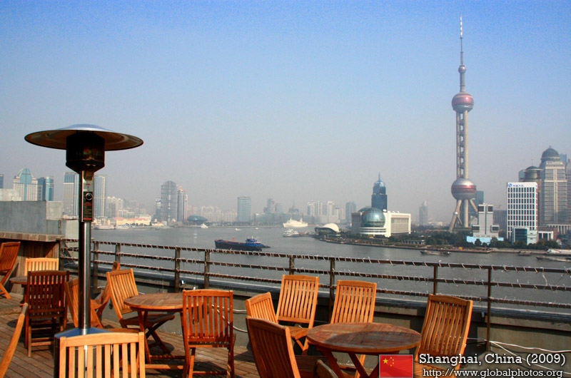
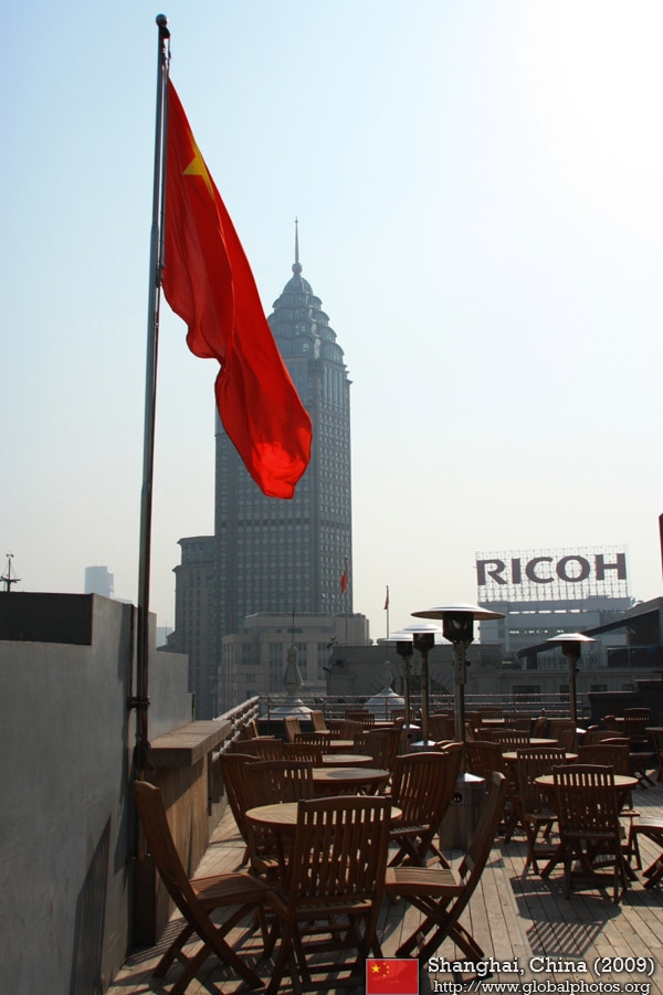
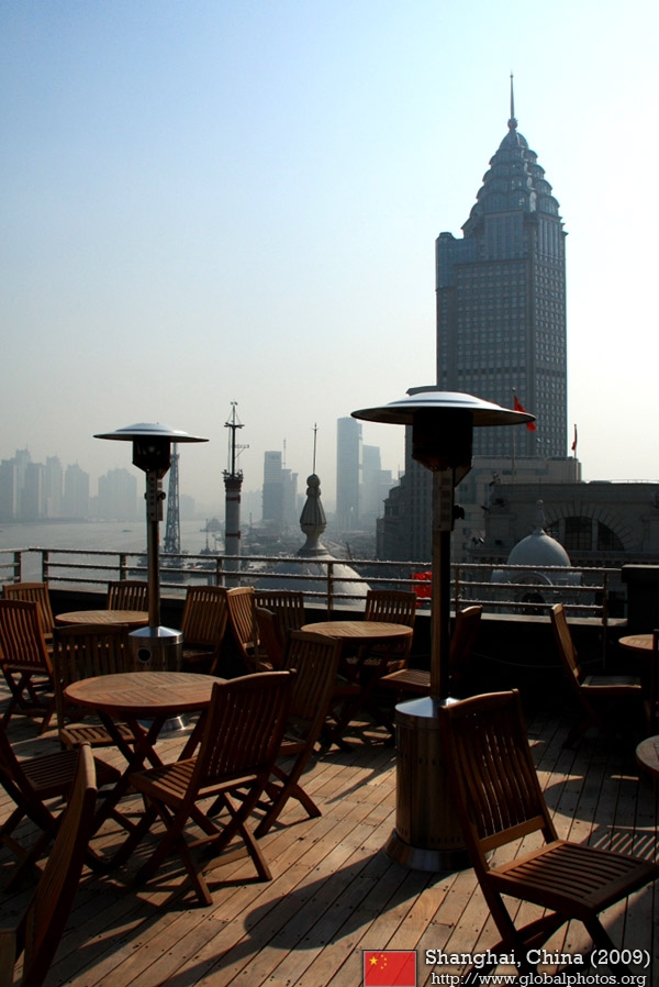
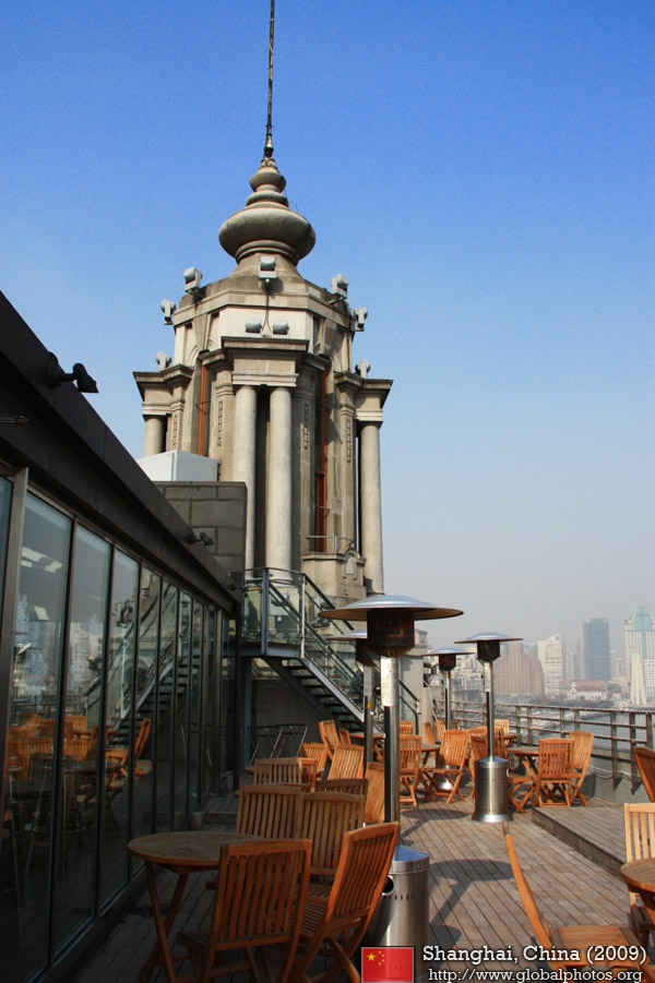
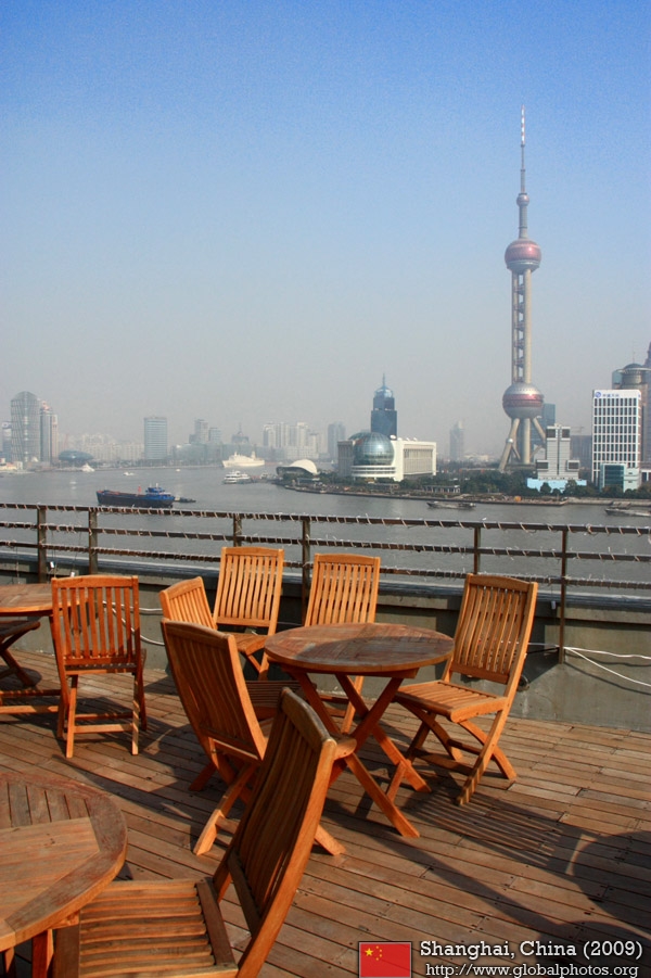
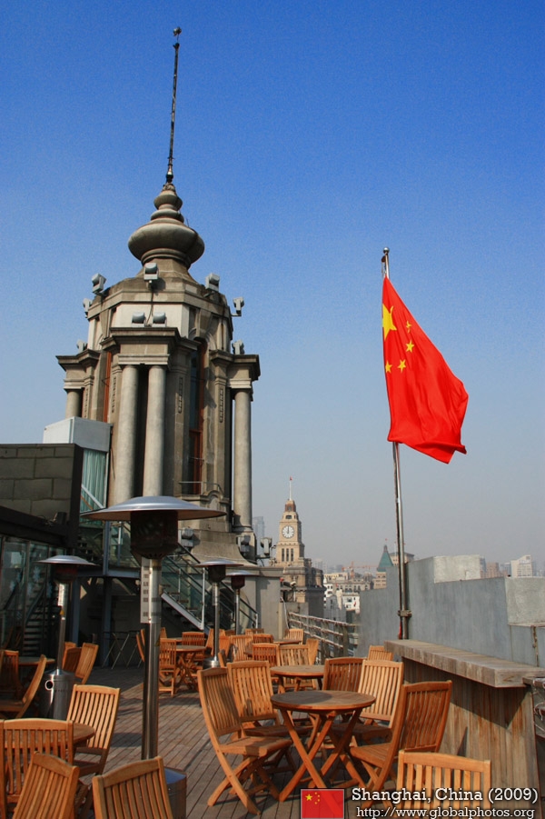
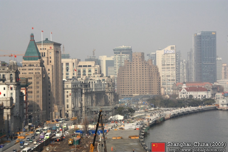
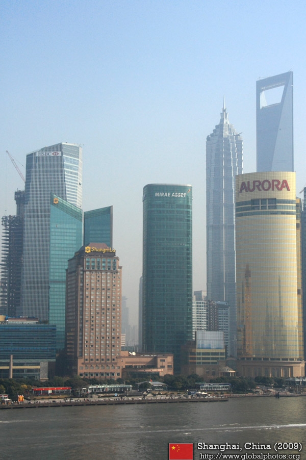
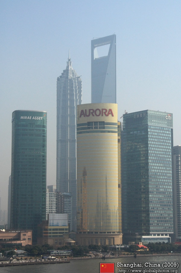
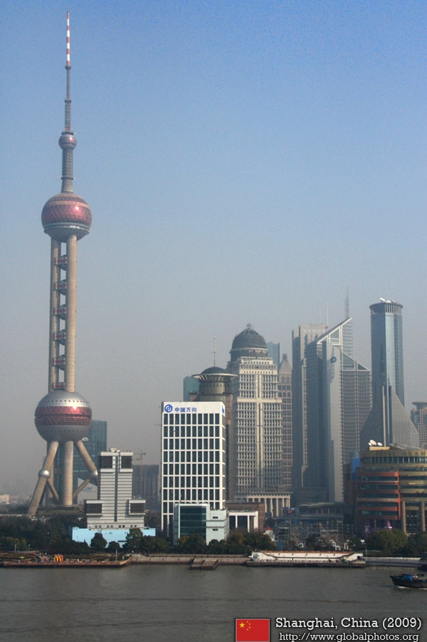
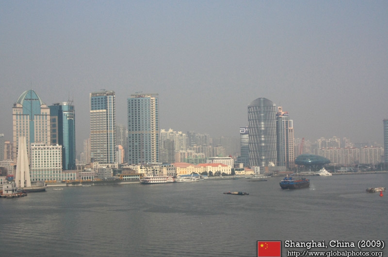
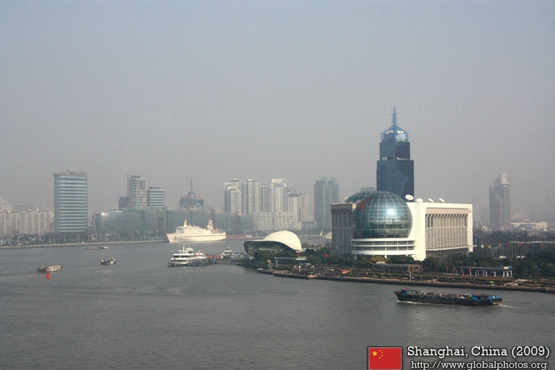
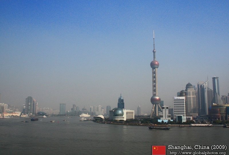
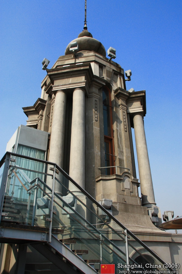
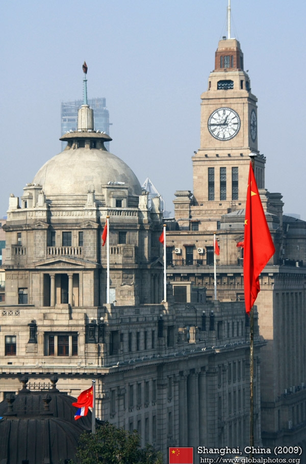
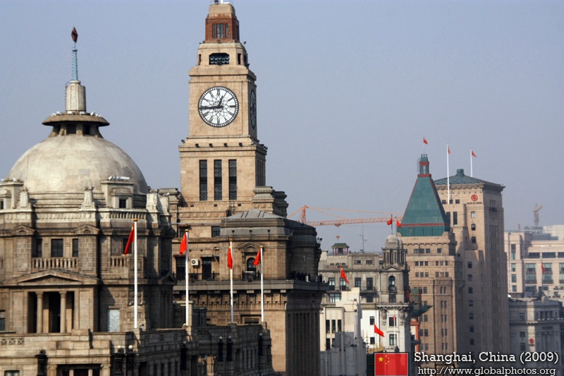
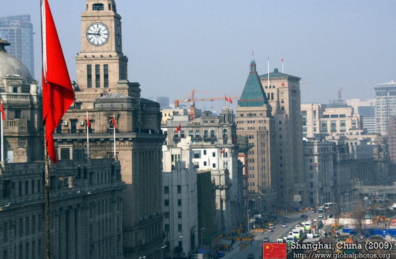
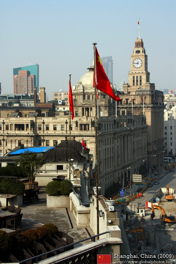
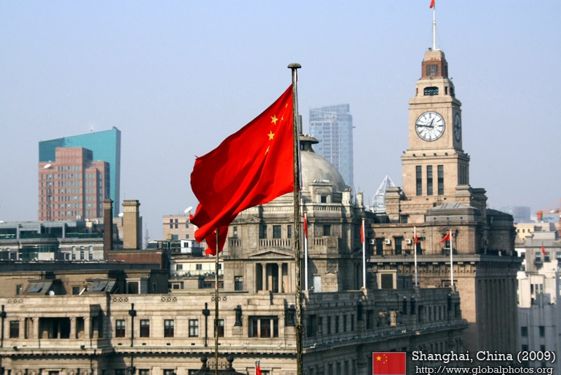
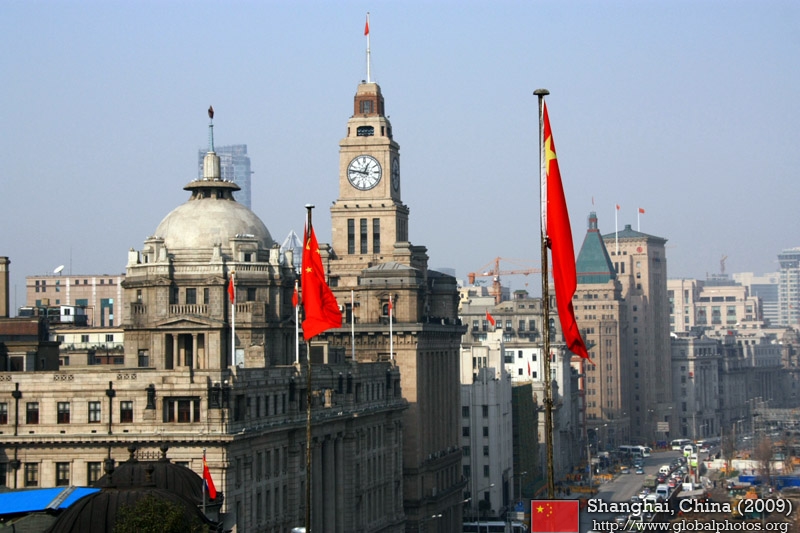
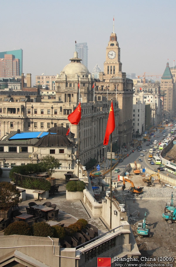
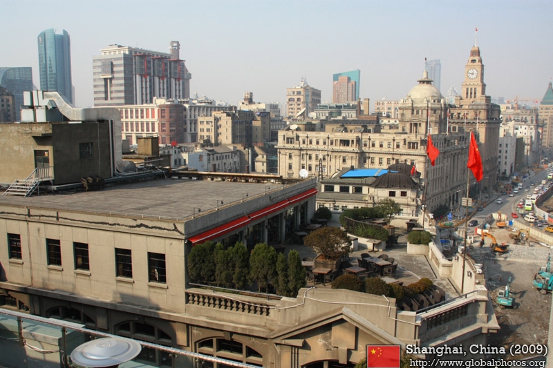
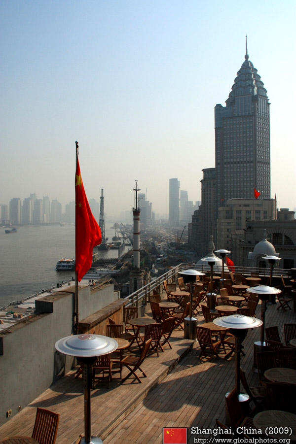
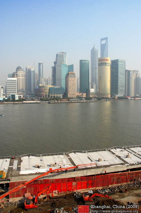
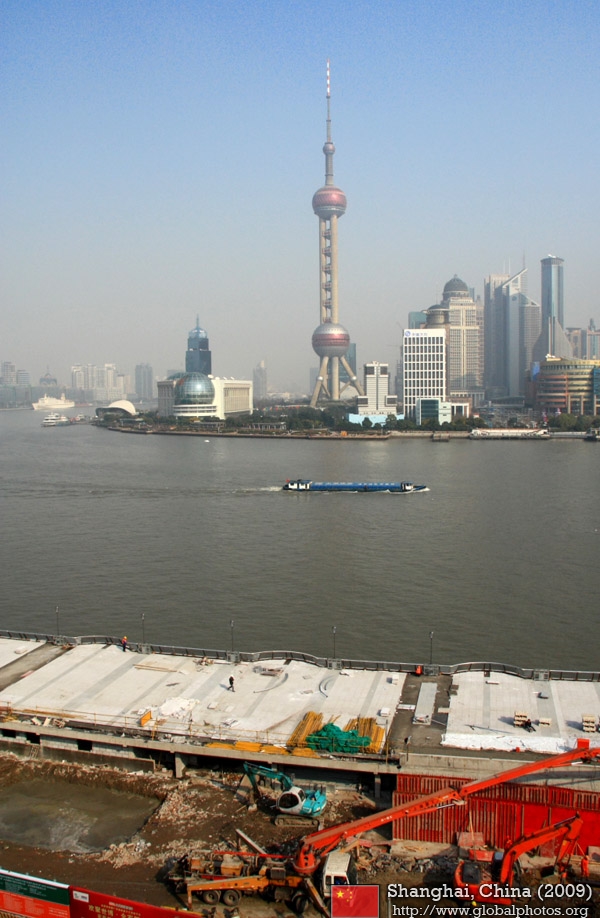
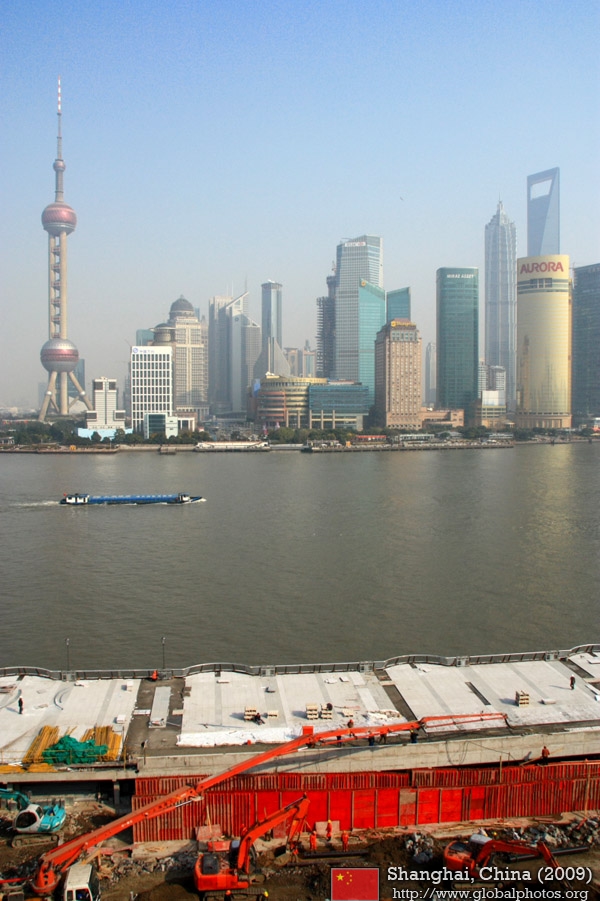
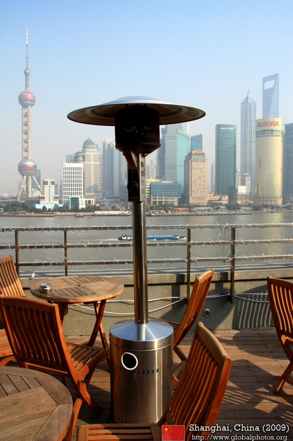
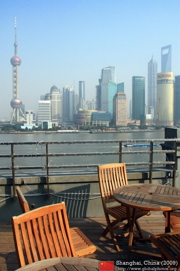
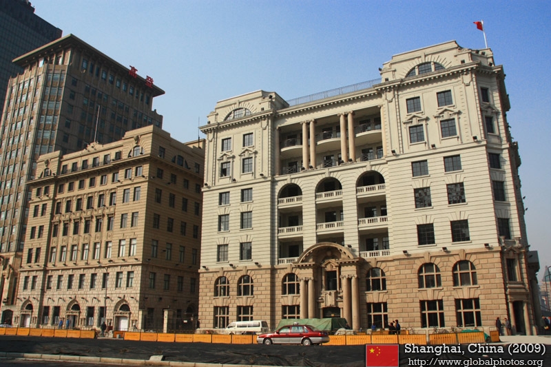
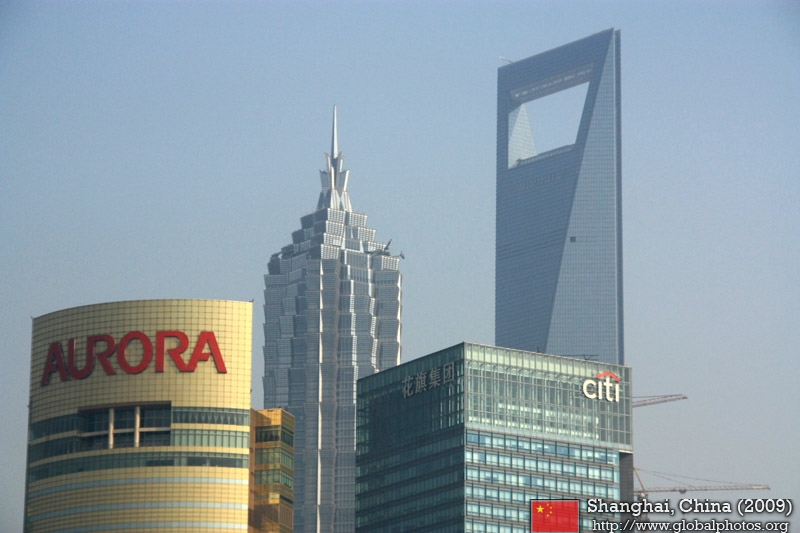
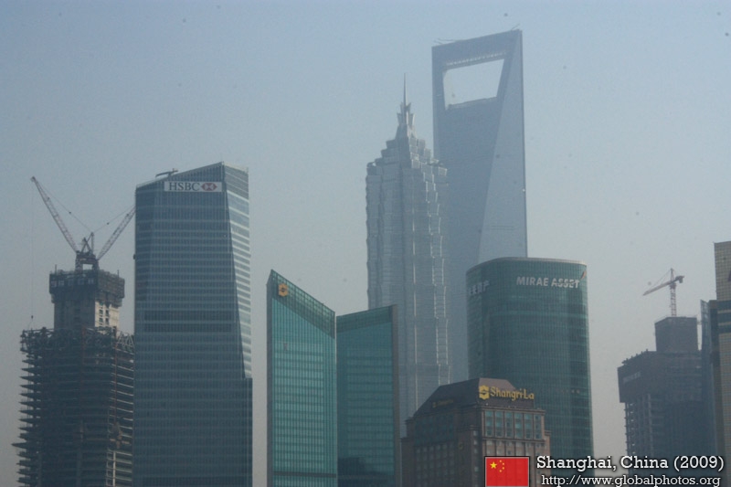
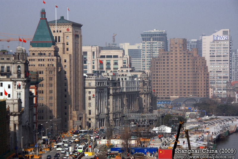
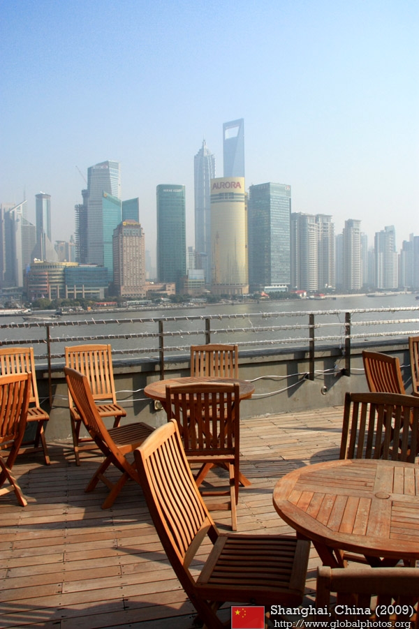
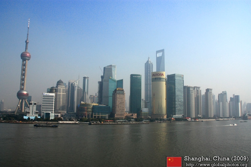
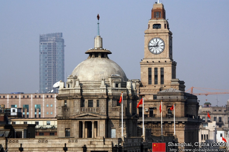
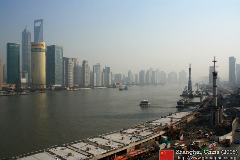
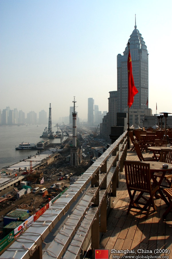
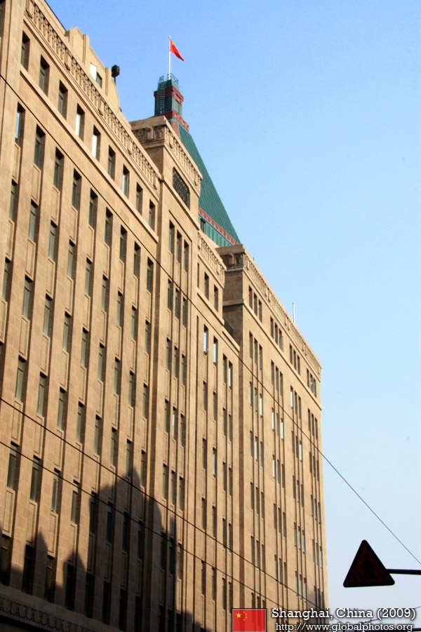
The Bund (which means the Embankment) runs along the west shore of the Huangpu River, forming the eastern boundary of old downtown Shanghai. Once a muddy towpath for boats along the river, the Bund was where the foreign powers erected their distinct Western-style banks and trading houses. From here, Shanghai grew into a cosmopolitan and thriving commercial and financial center, Asia's leading city in the 1920s and 1930s.Many buildings are still in use today. This set of photos was taken from a top-floor restaurant, which offered panoramic views of the waterfront and the new financial district, Pudong, across the river. |
||
|
||
|
|
|
|
|
|
|
|
|
|
||
|
|
|
|
|
|
|
|
|
|
||
|
|
|
|
|
|
|
|
|
|
||
|
|
|
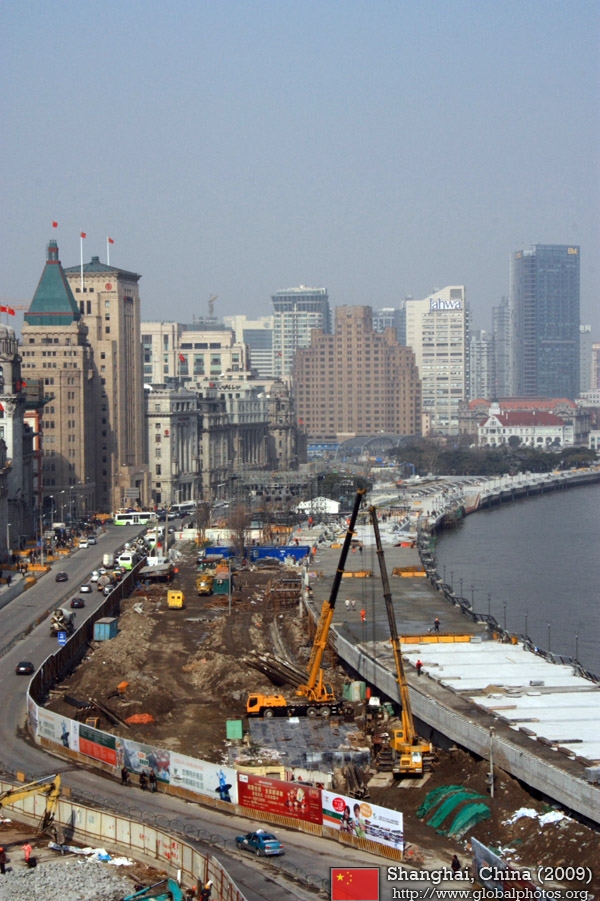
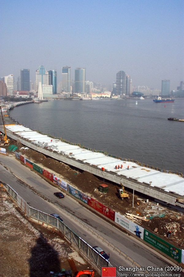
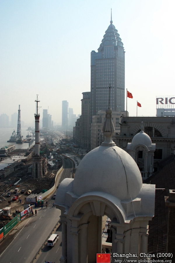
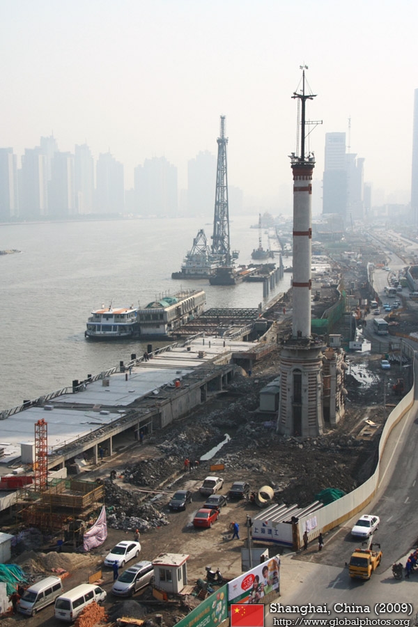
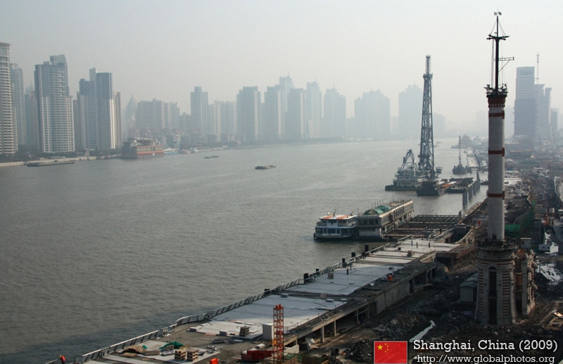
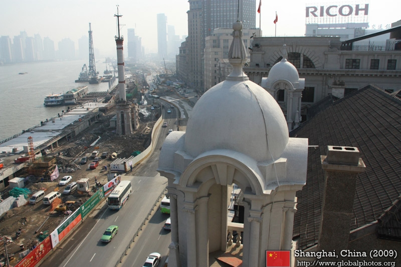
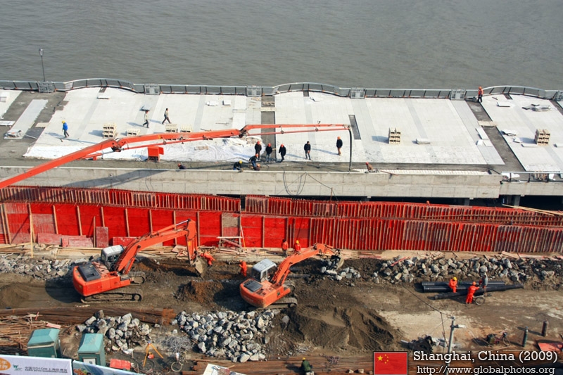
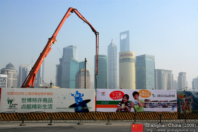
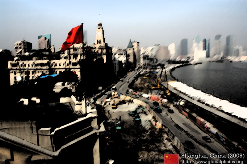
To prepare Shanghai for the 2010 Expo, the Bund's waterfront promenade and road infrastructure were completely revamped and modernized.
|
||
|
|

|
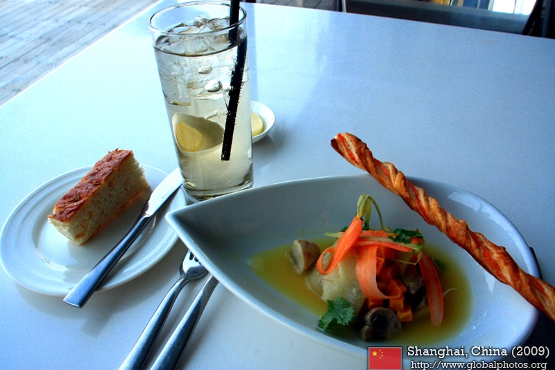
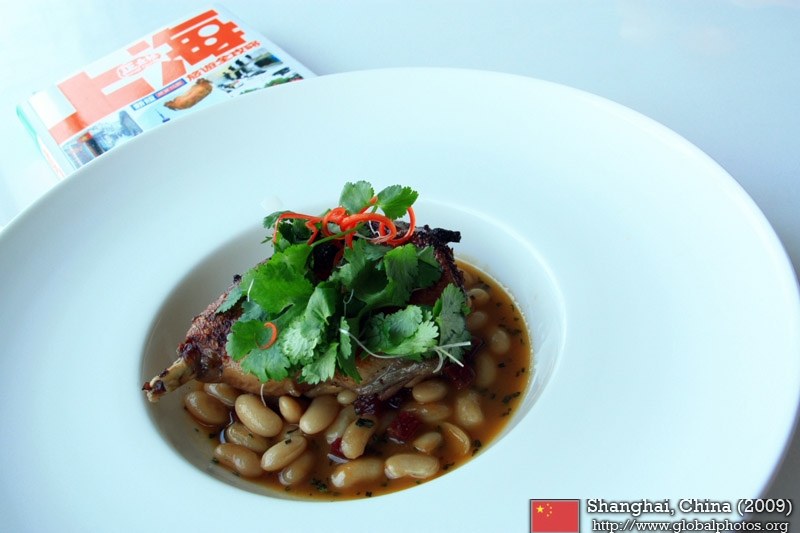
The food tasted decent and the set lunch was very reasonably-priced. Surprisingly, there was not much patronage and I had the outdoor deck all to myself.
|
||
|
|
|
|
||
|
|
|
|
|
|
|
|
|
|
||
|
|
|
|
|
|
|
|
||
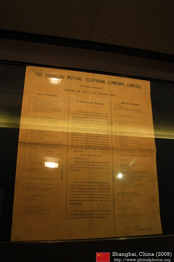
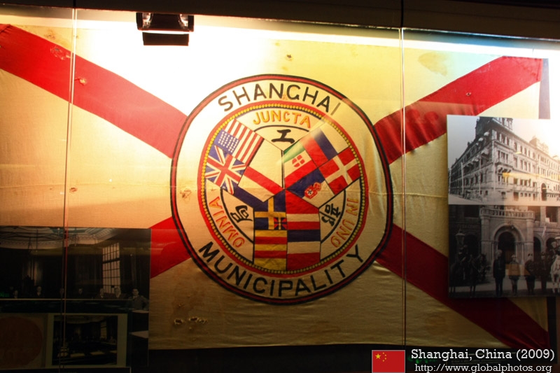
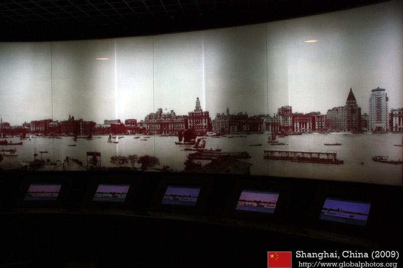
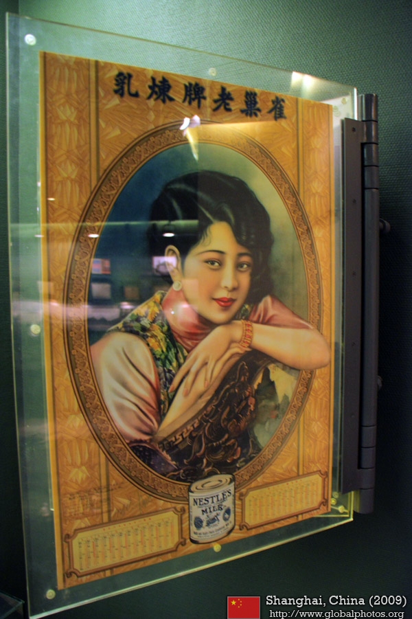
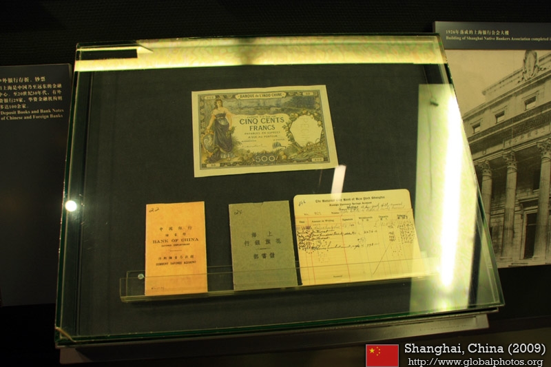
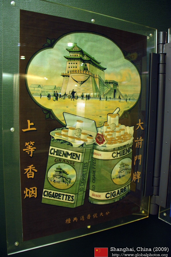
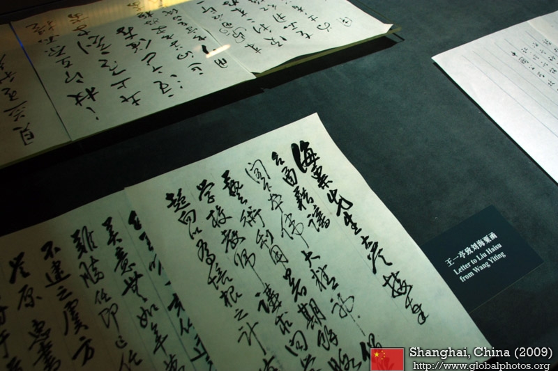
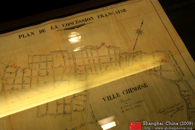
Shanghai Municipal Archives
|
||
|
|
|
|
|
|
|

|
|
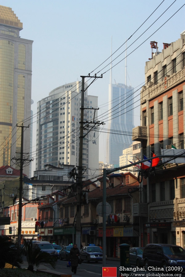
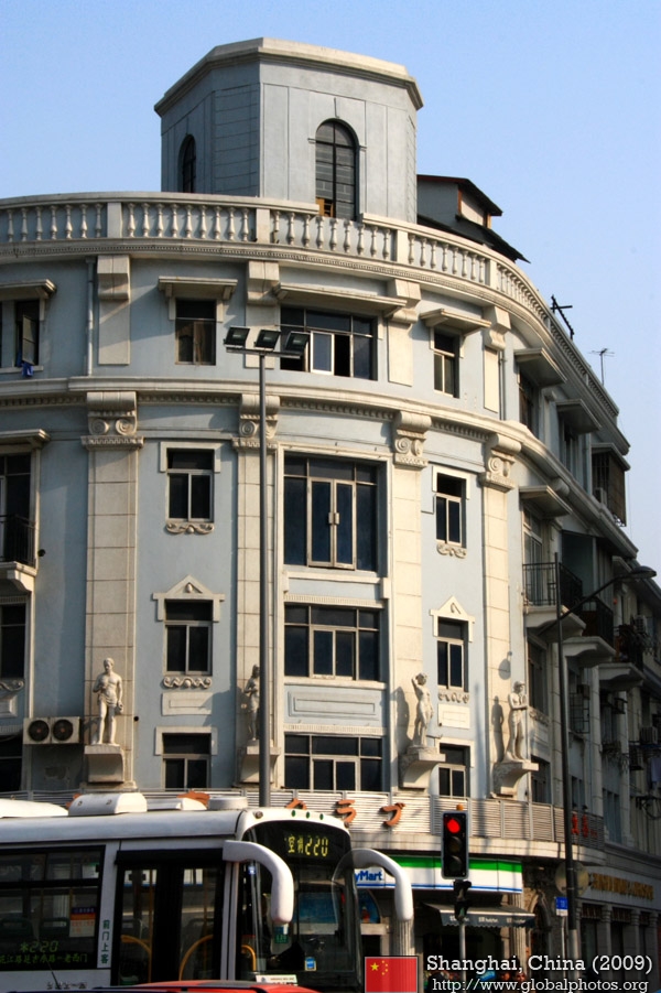
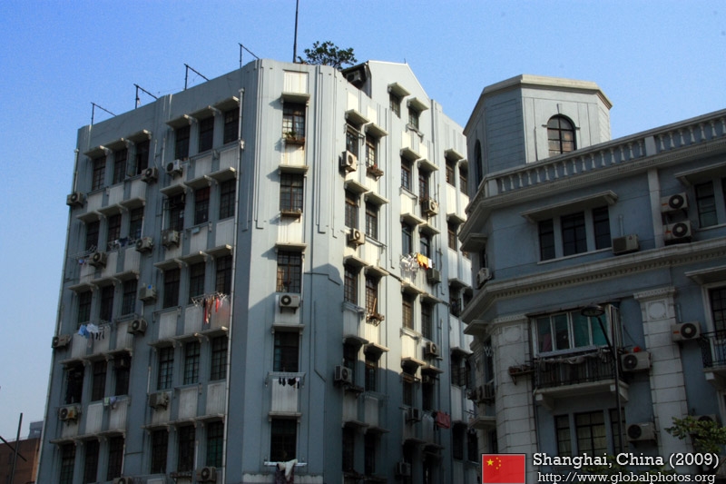
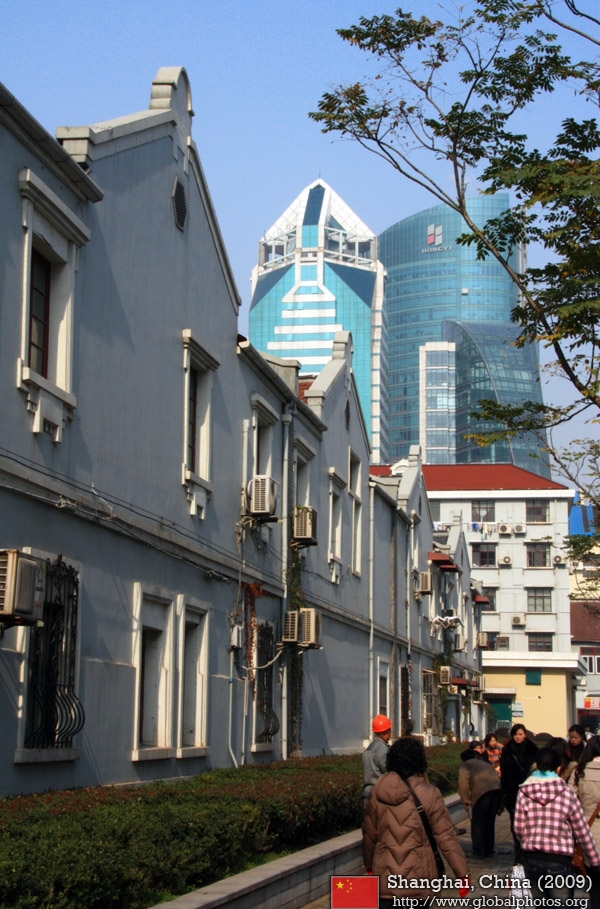
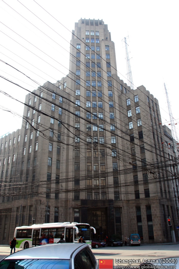
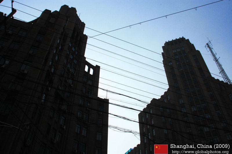
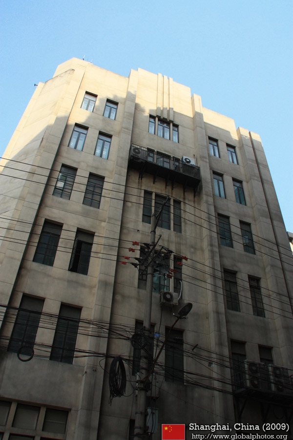
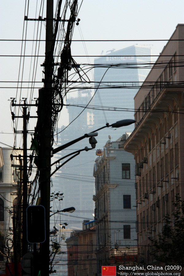
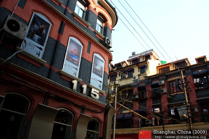
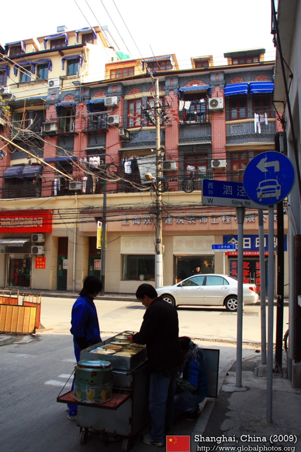
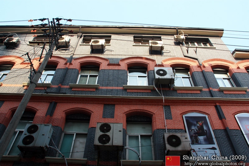
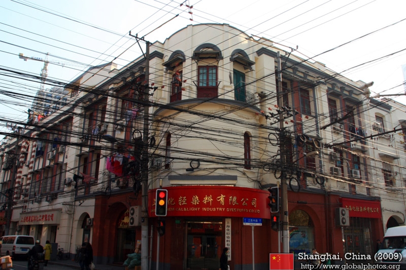
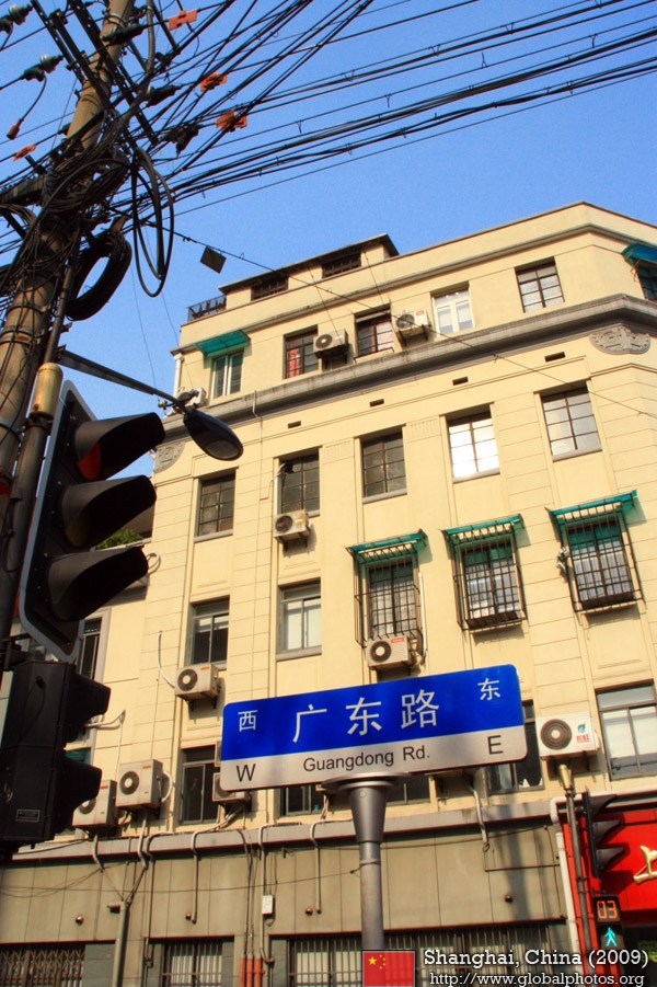
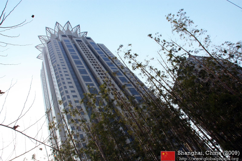
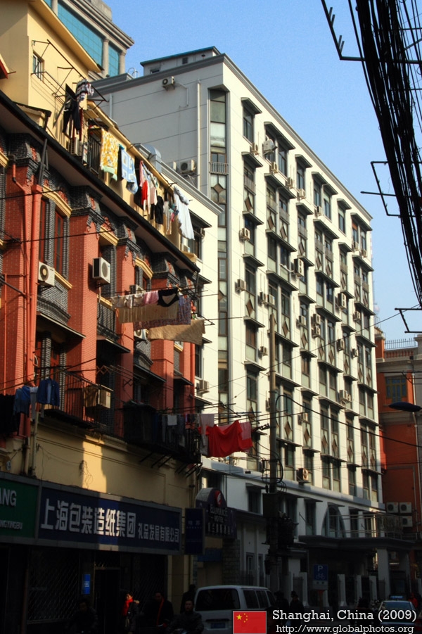
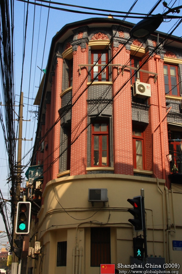
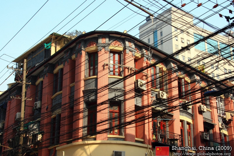
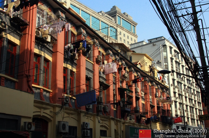
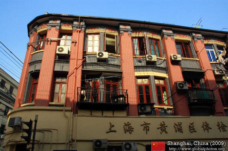
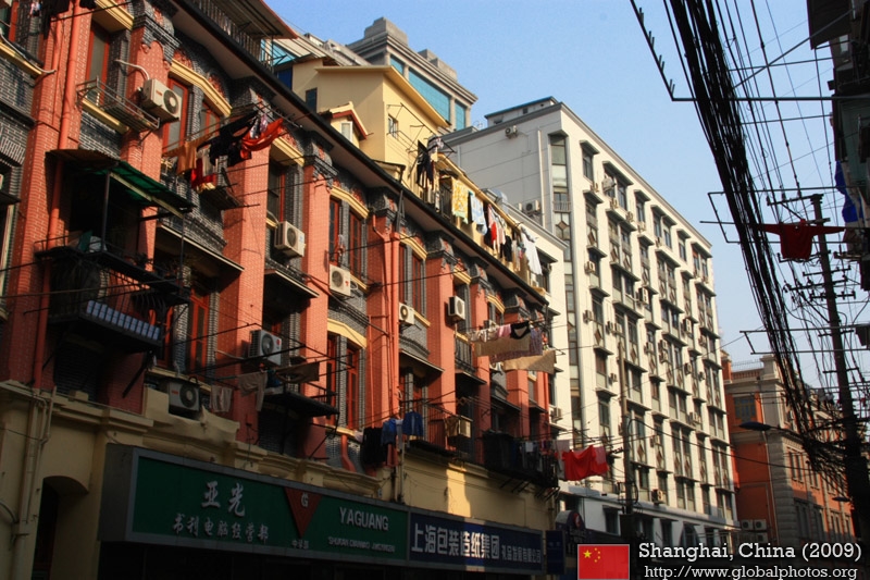
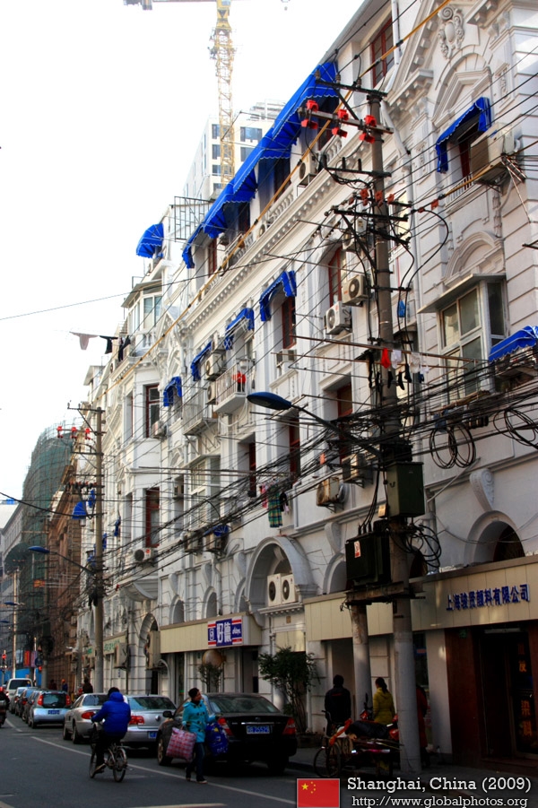
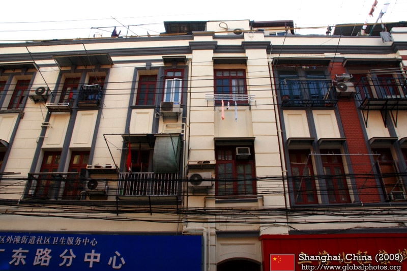
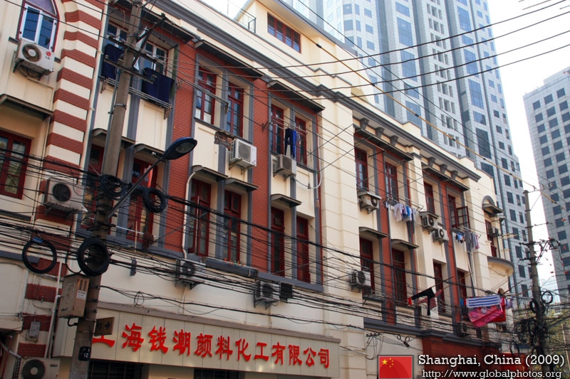
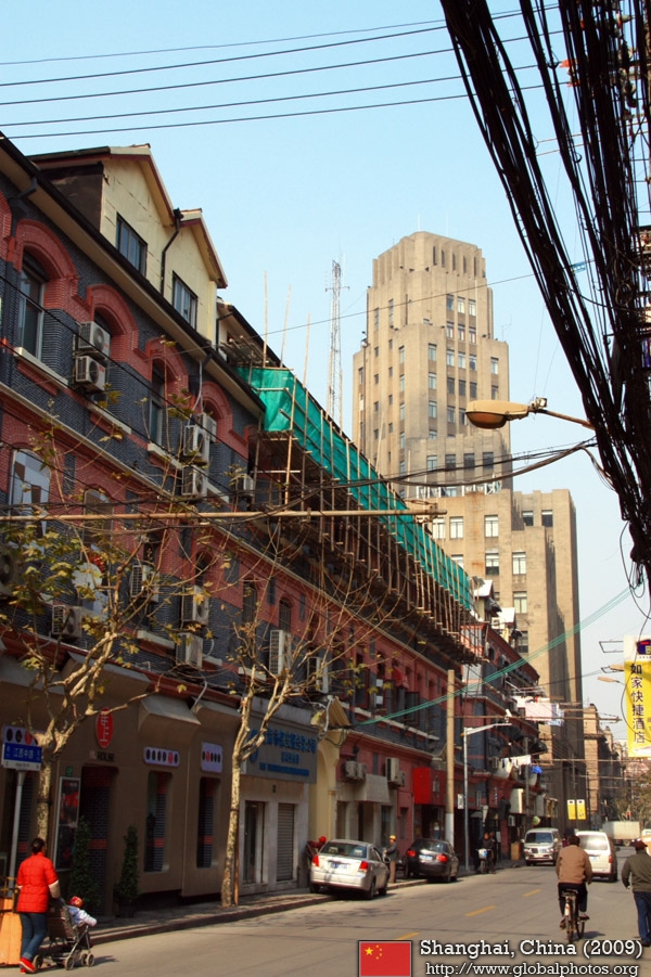
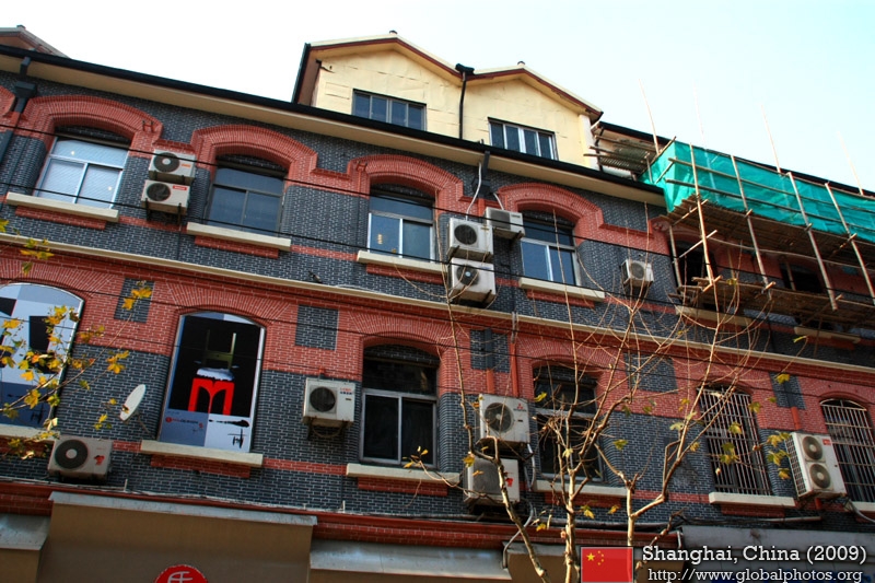
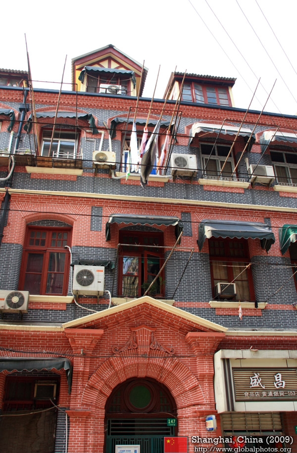
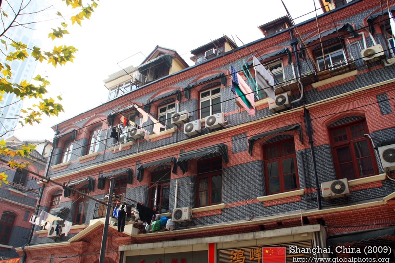
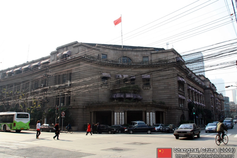
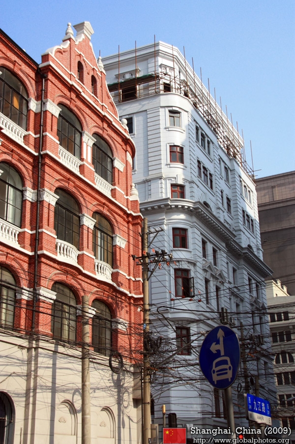
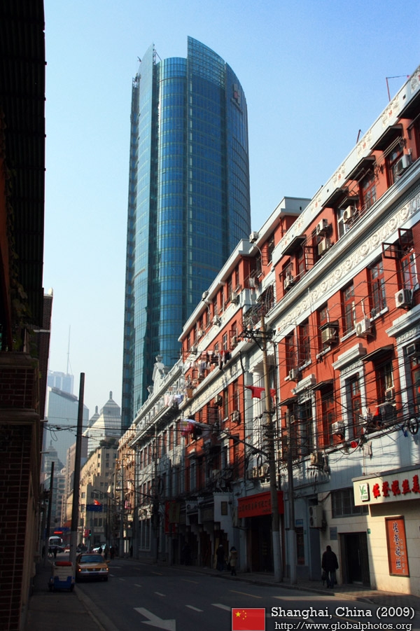
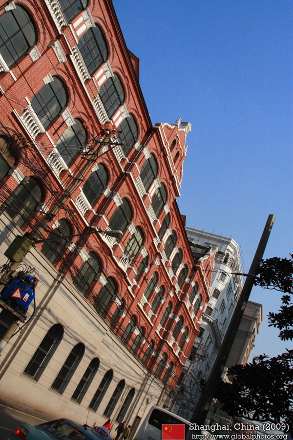
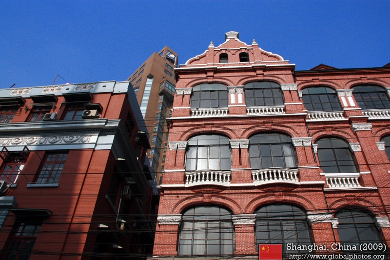
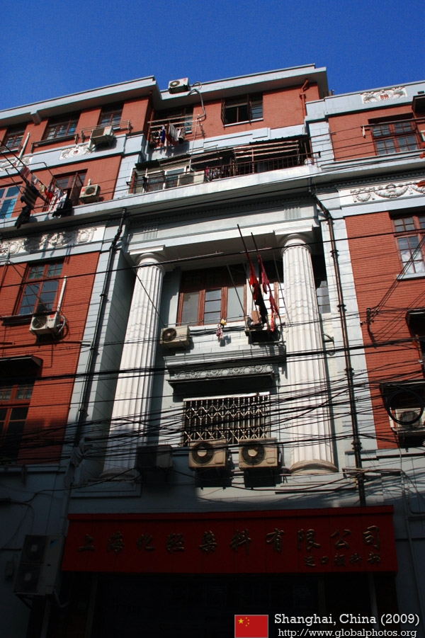
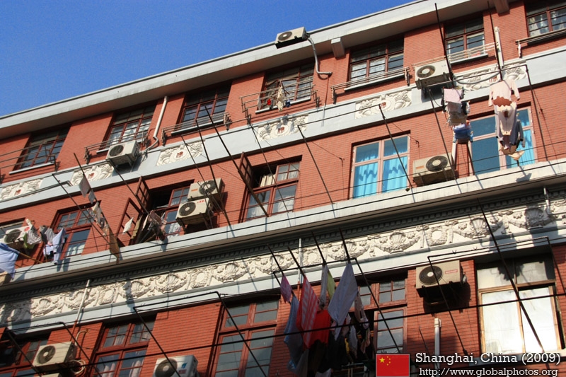
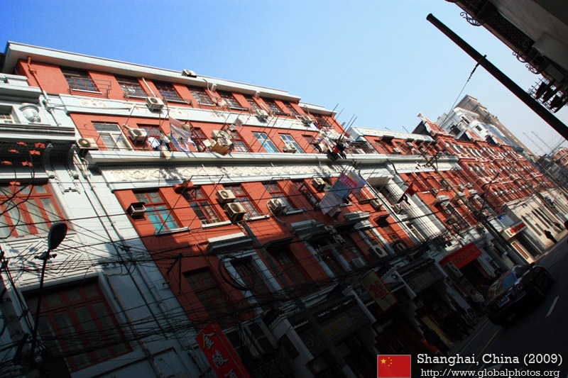
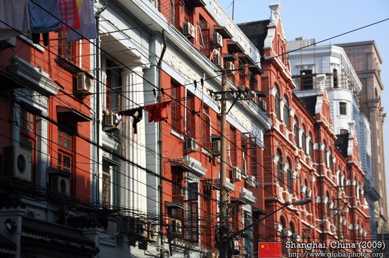
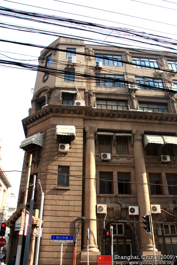
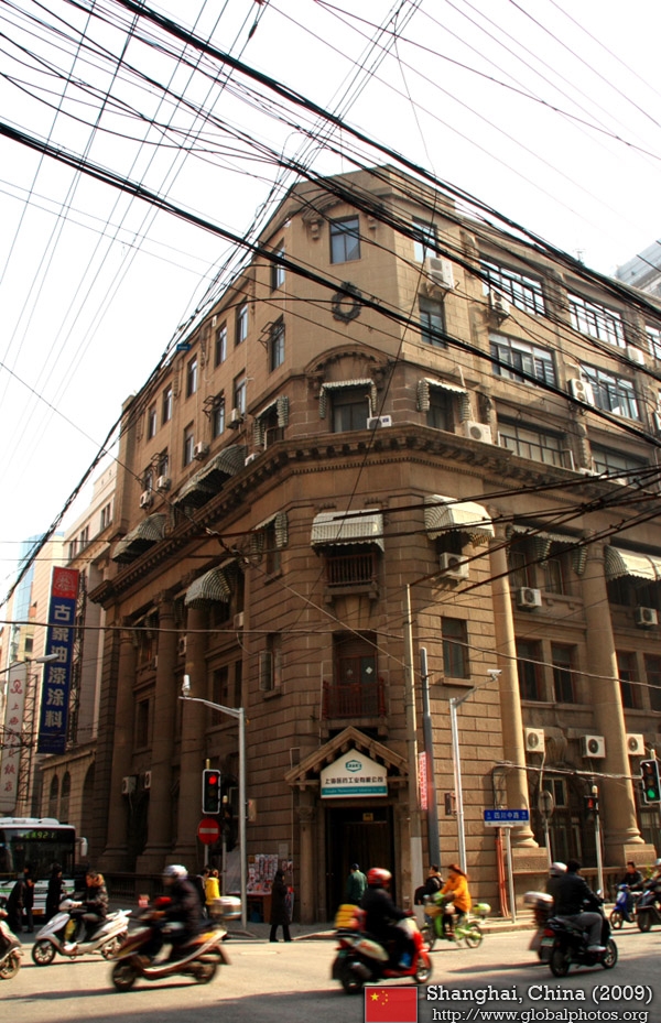
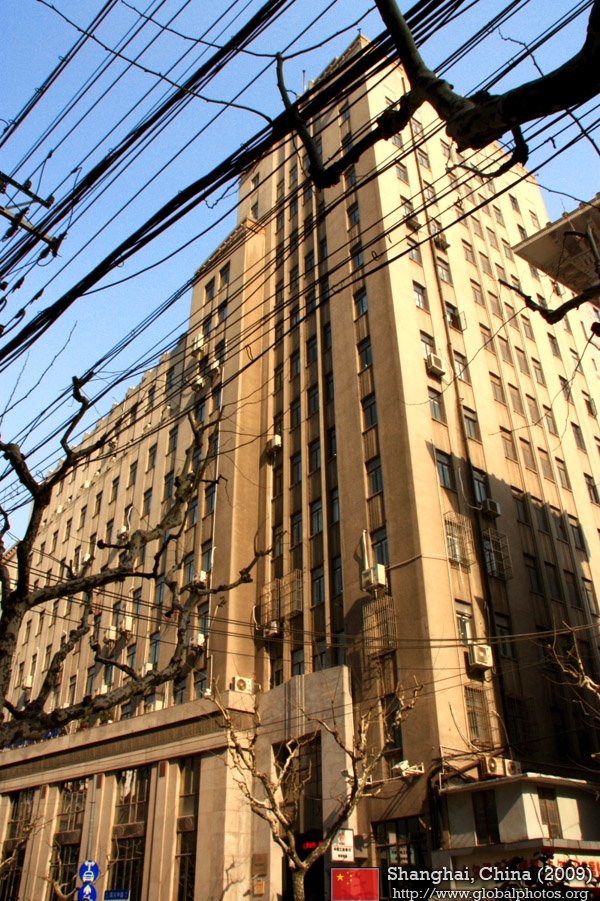
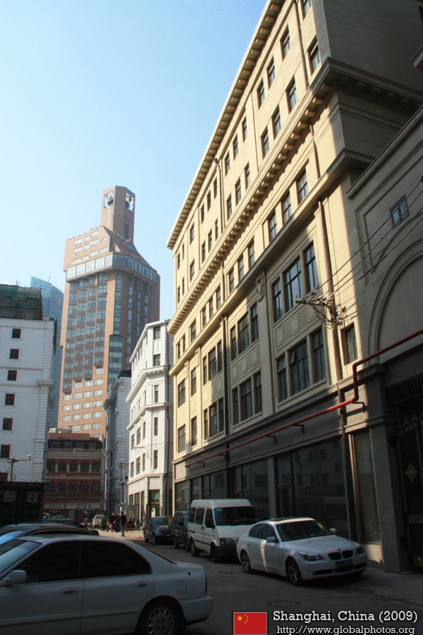
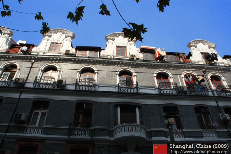
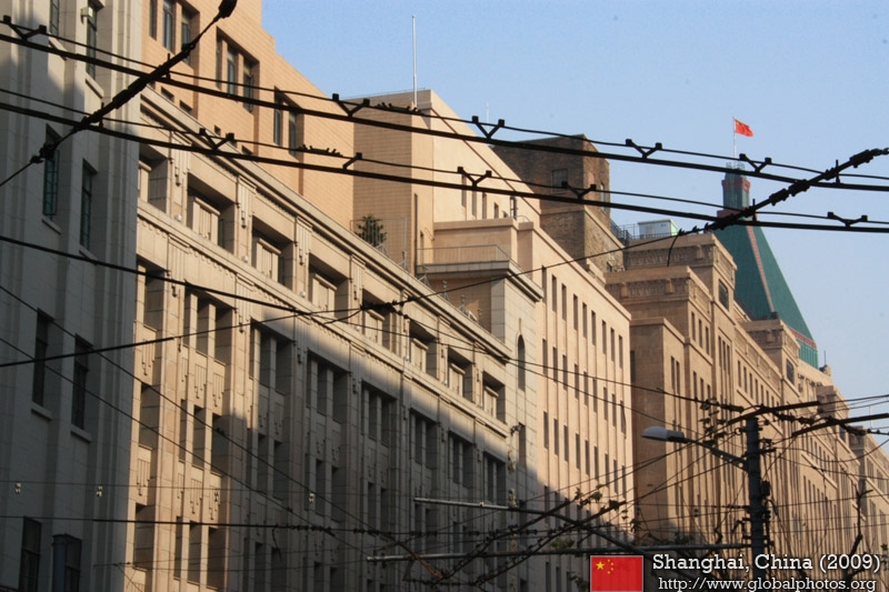
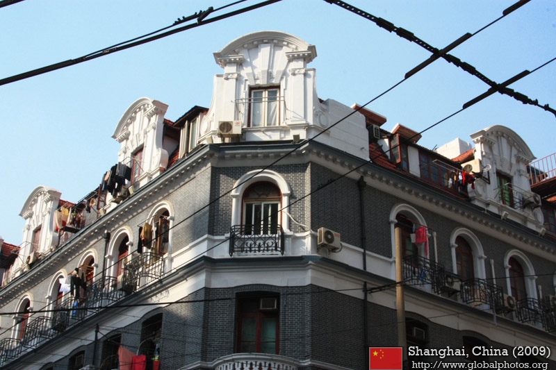
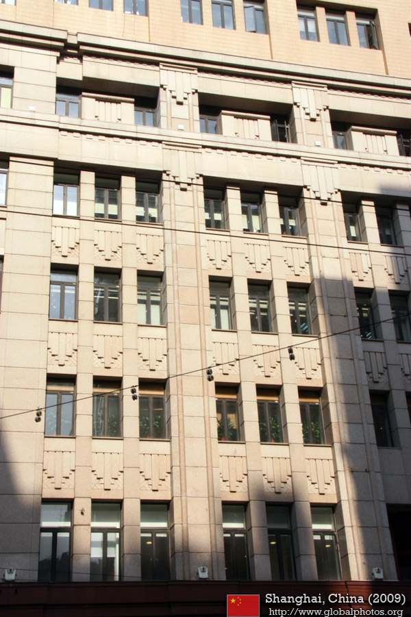
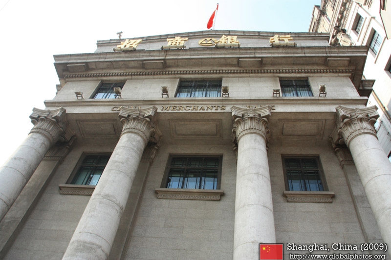
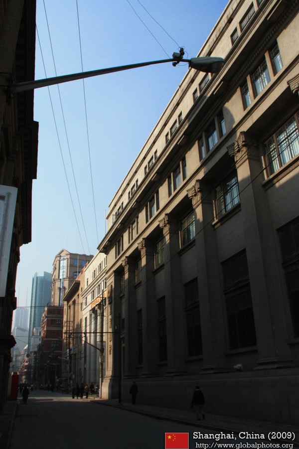
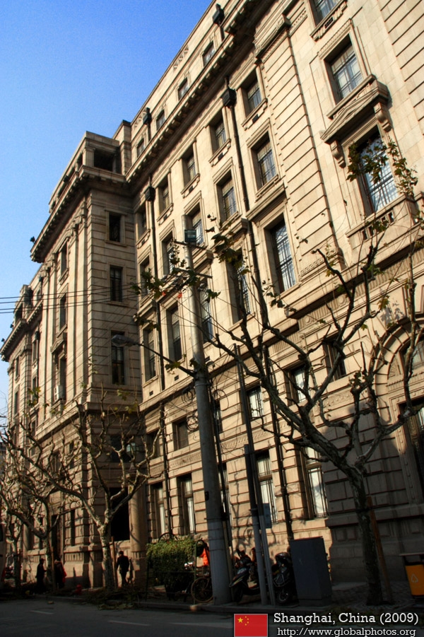
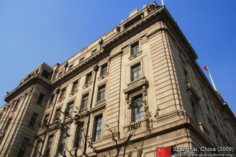
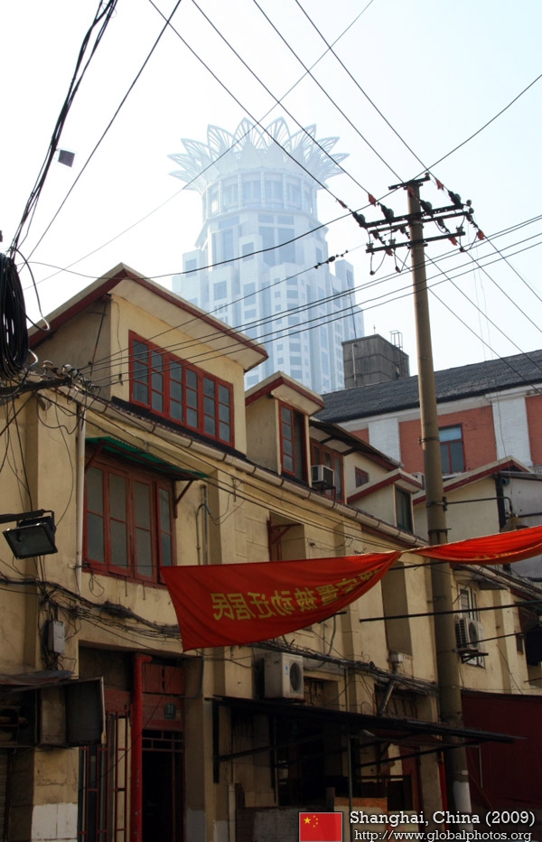
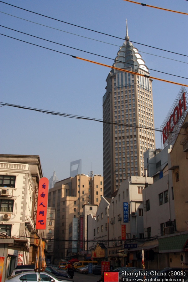
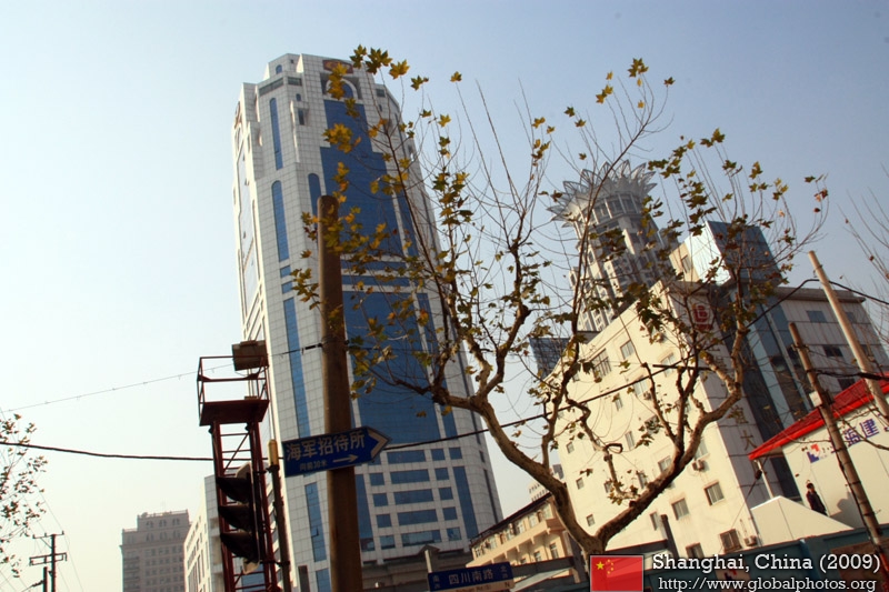
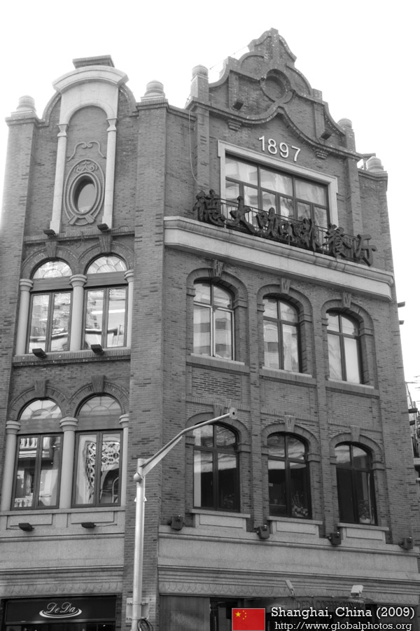
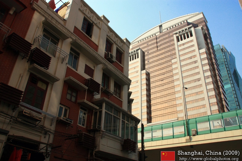
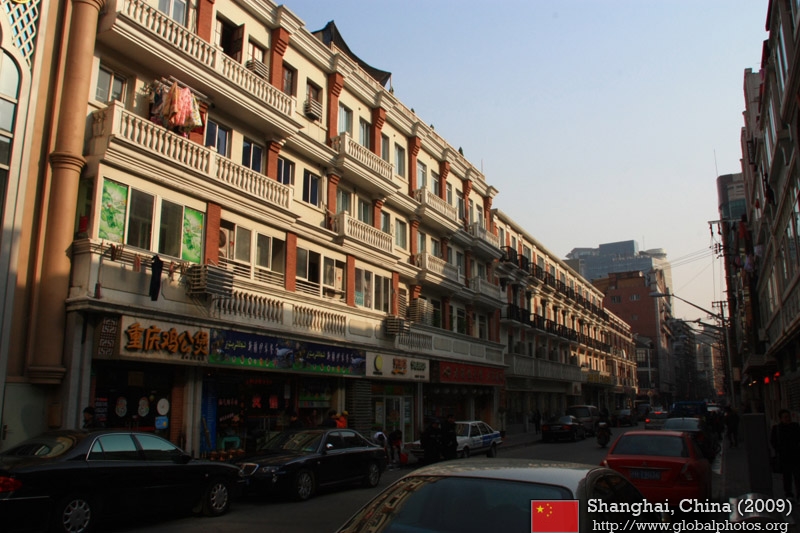
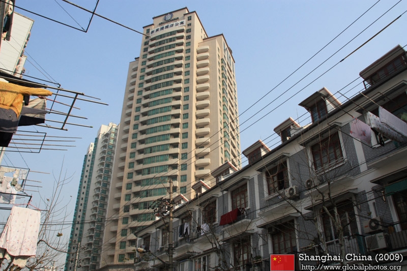
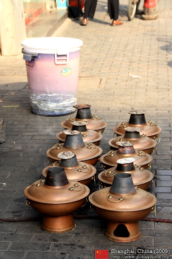
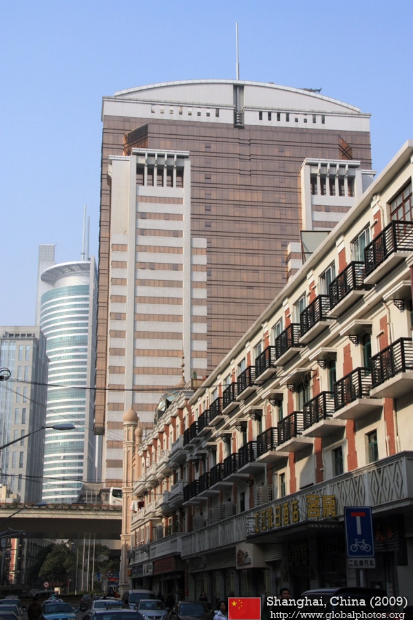
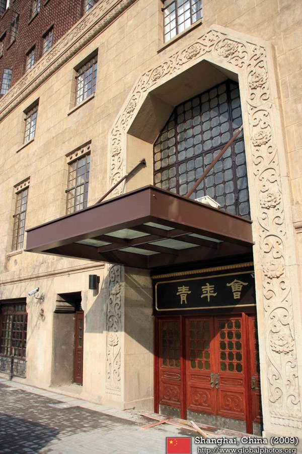
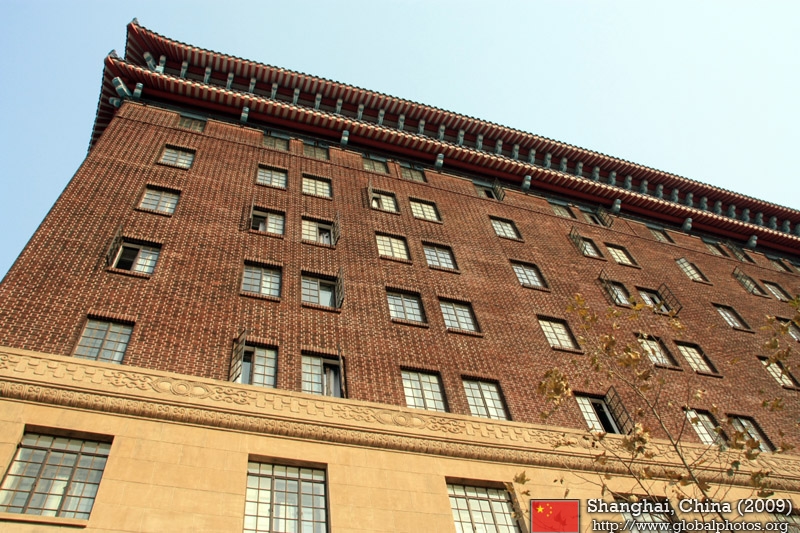
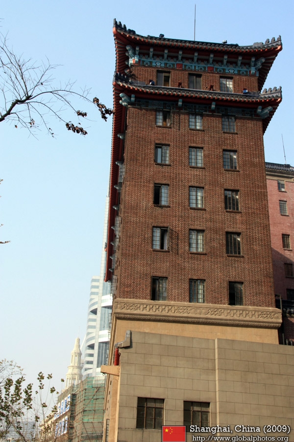
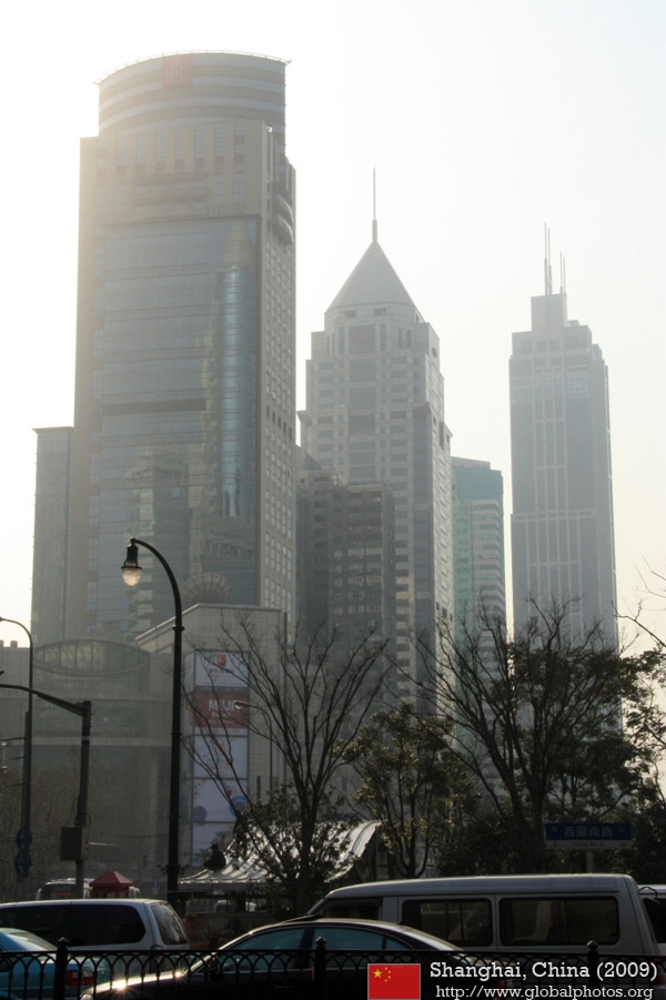
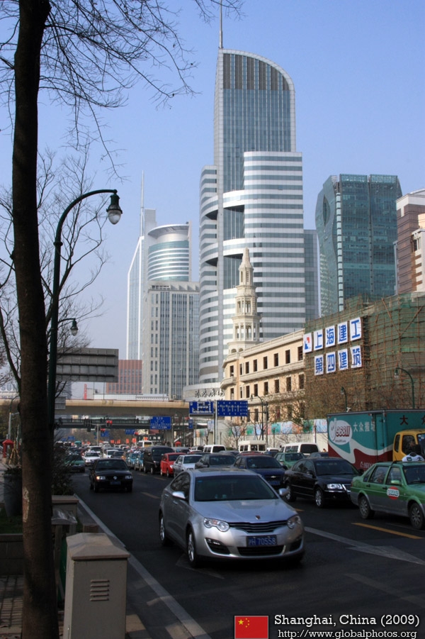
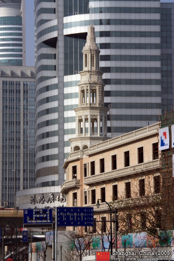
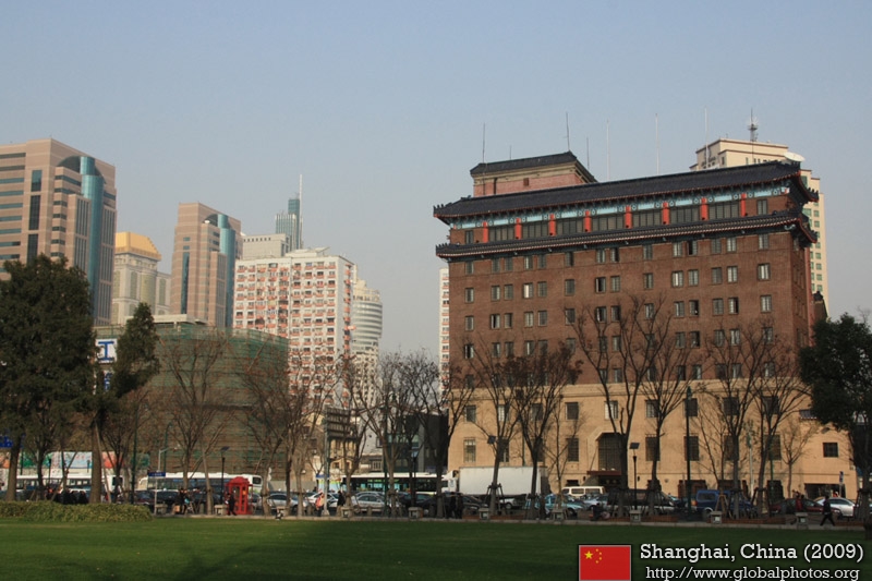
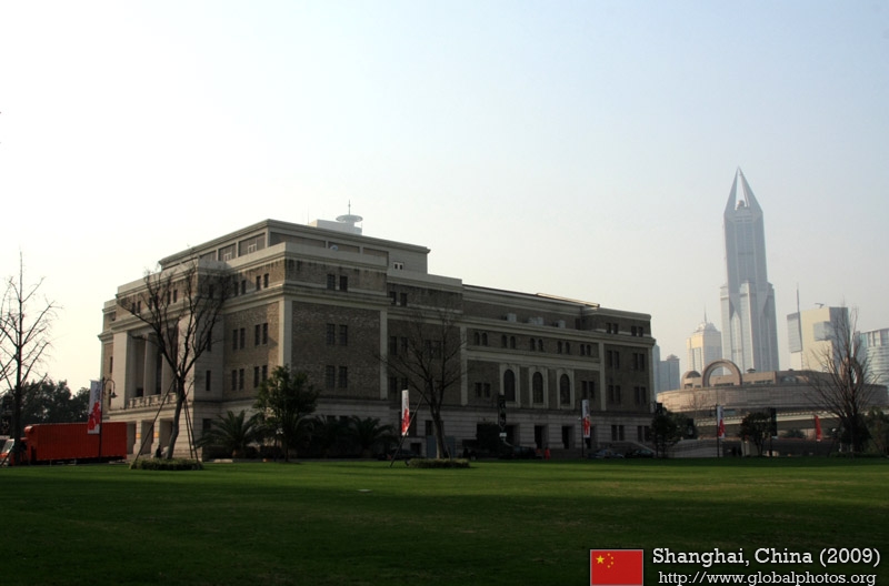
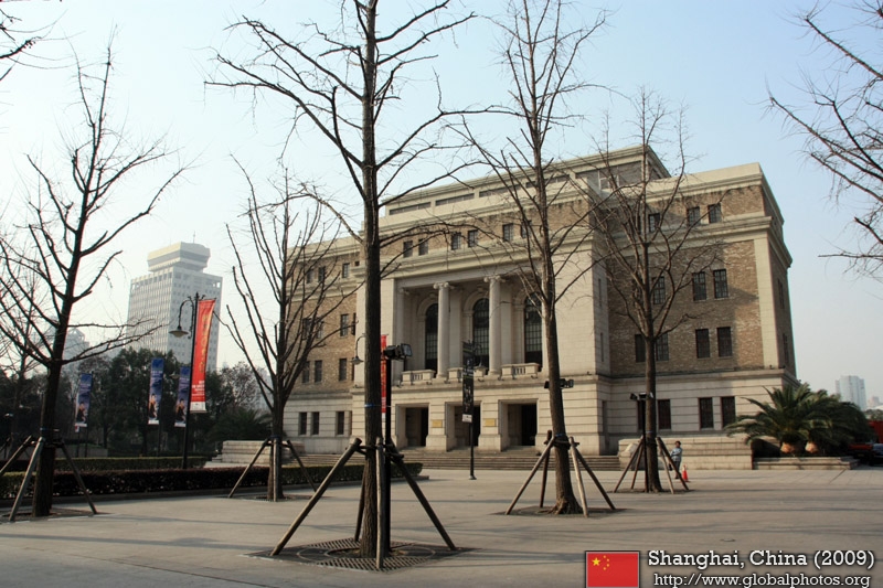
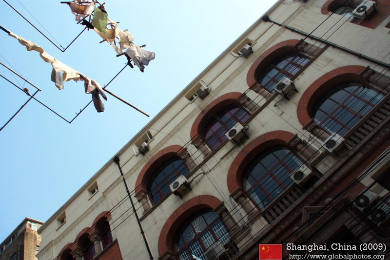
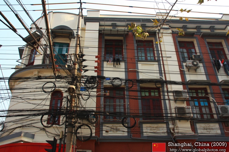
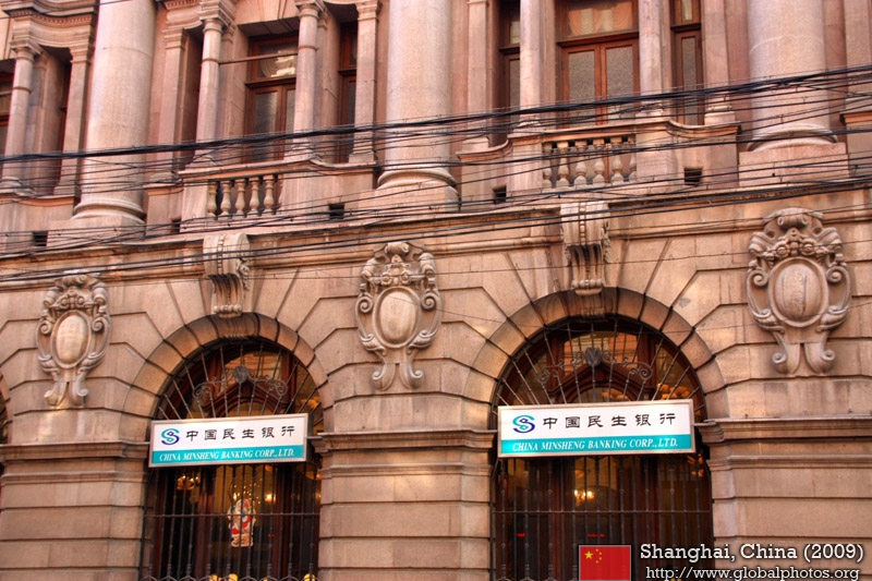
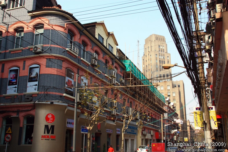
Around the Neighbourhood
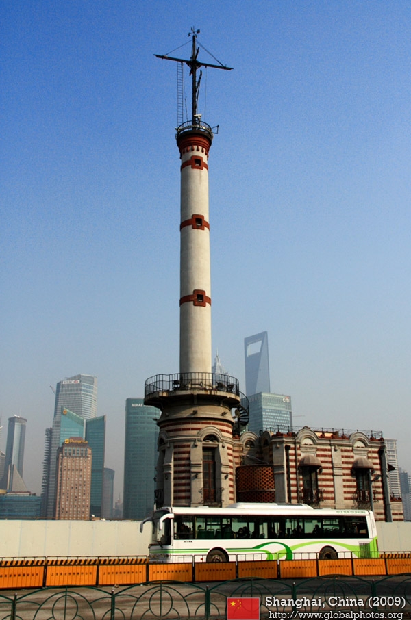
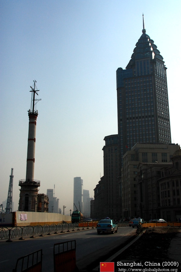
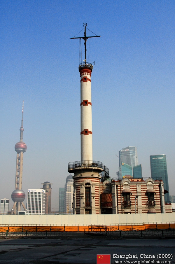
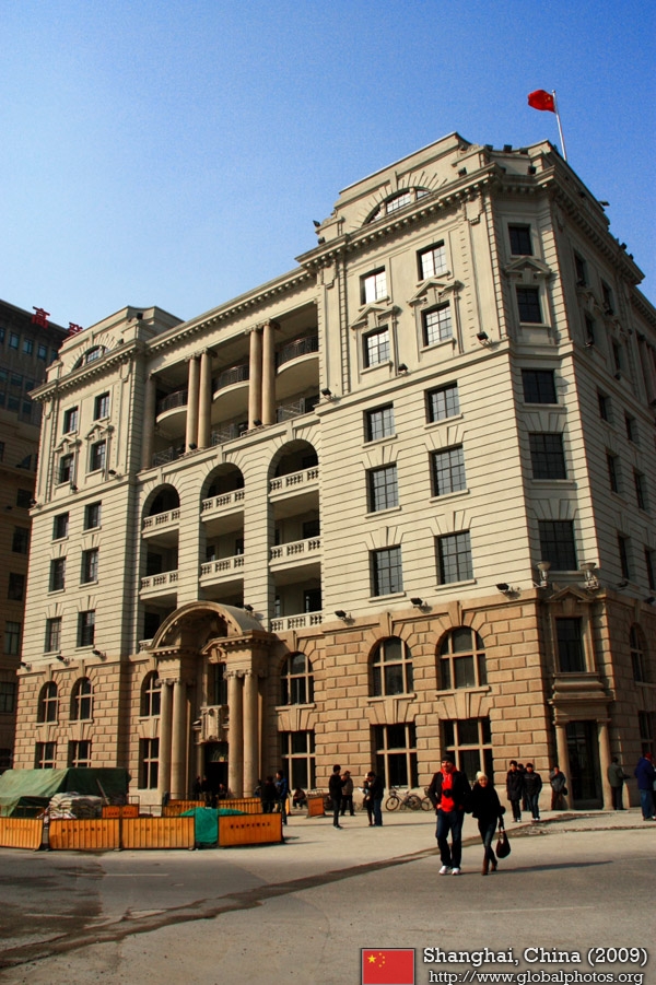
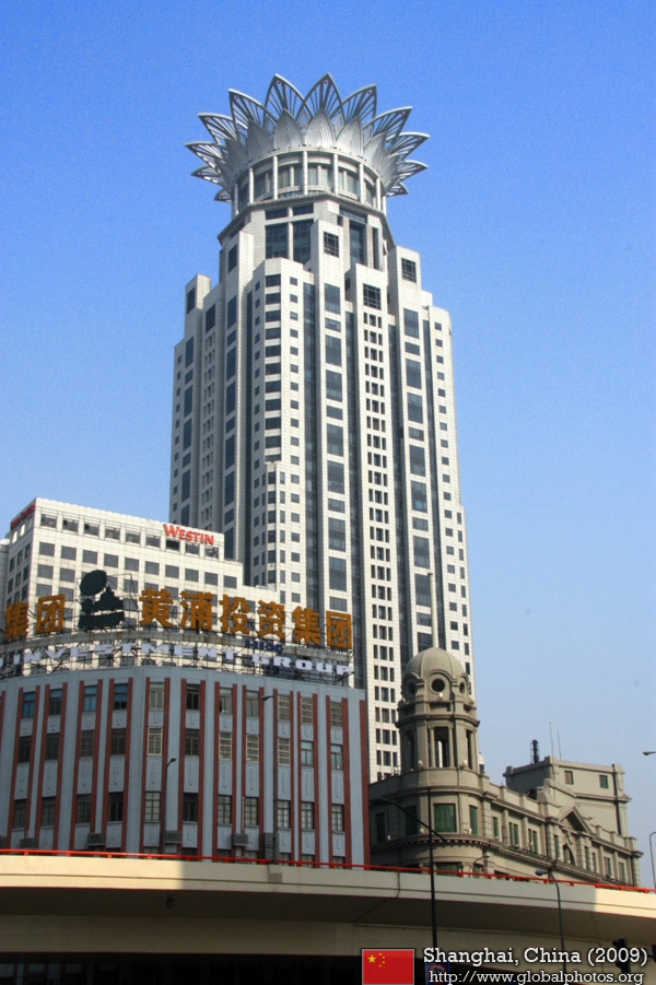
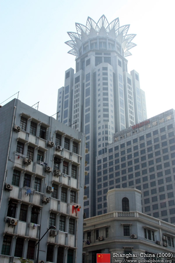
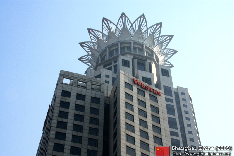
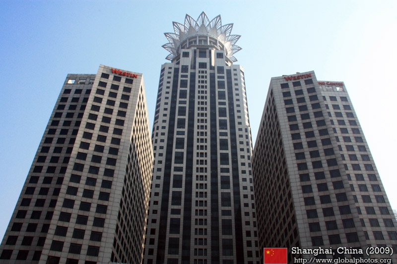
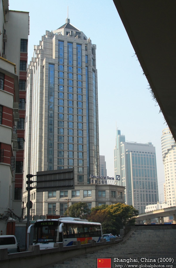
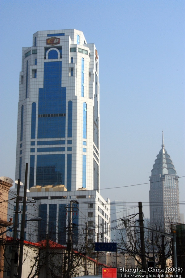
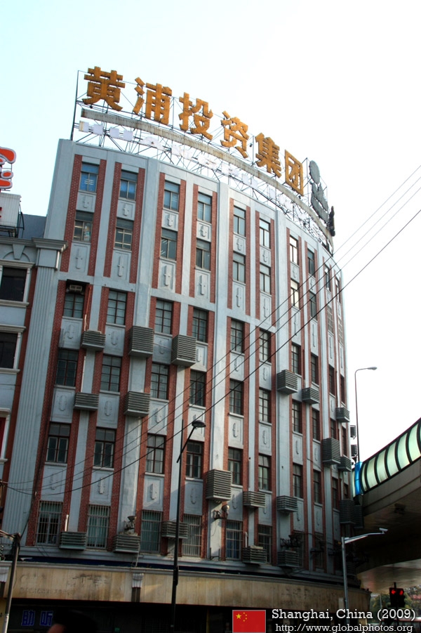
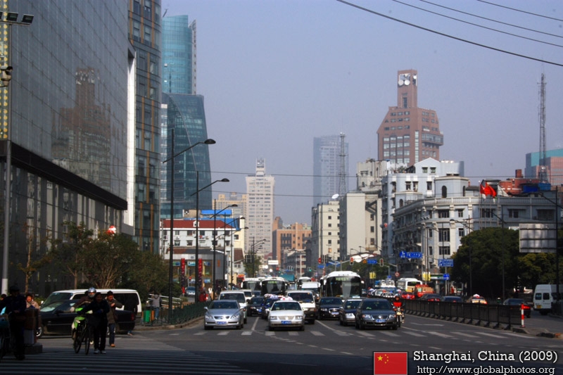
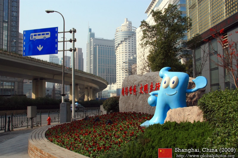
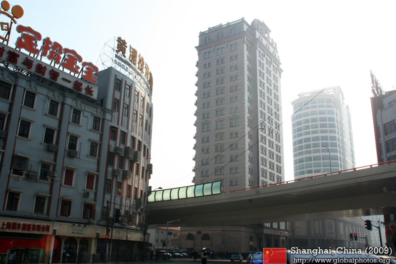
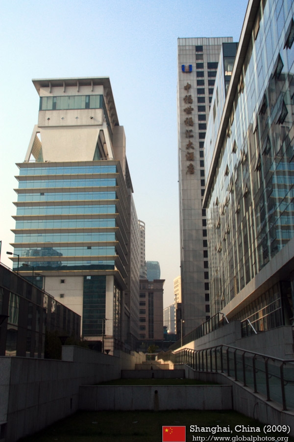
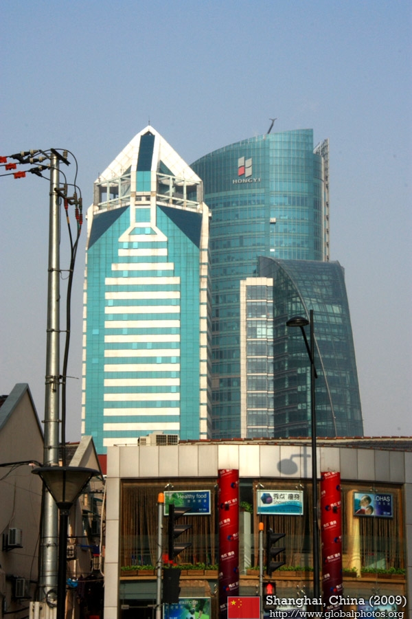
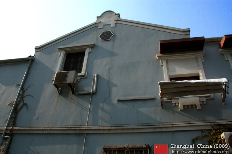
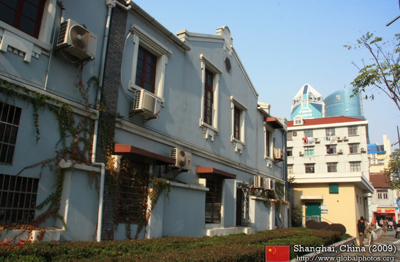
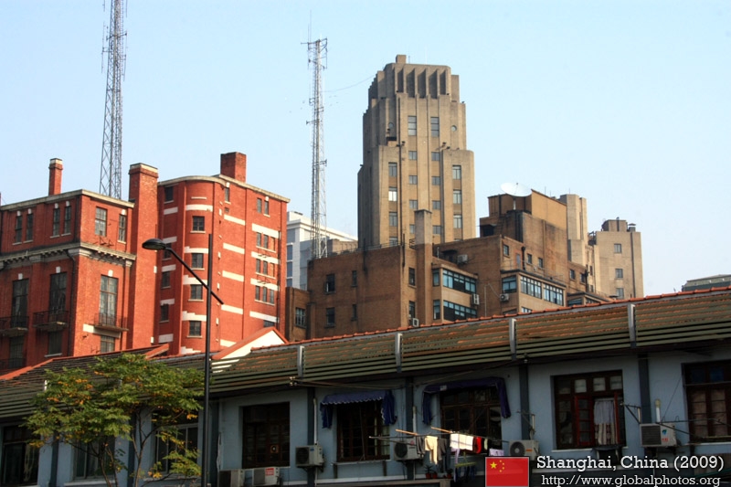
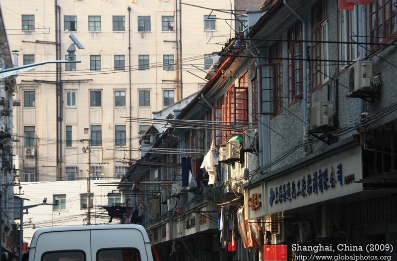
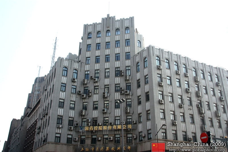
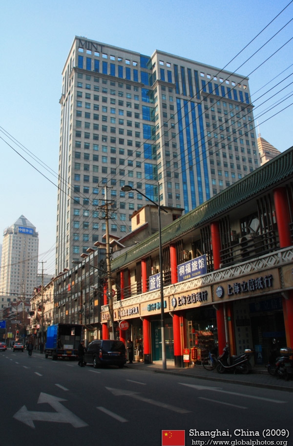
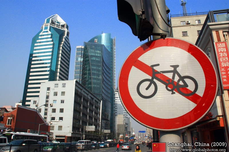
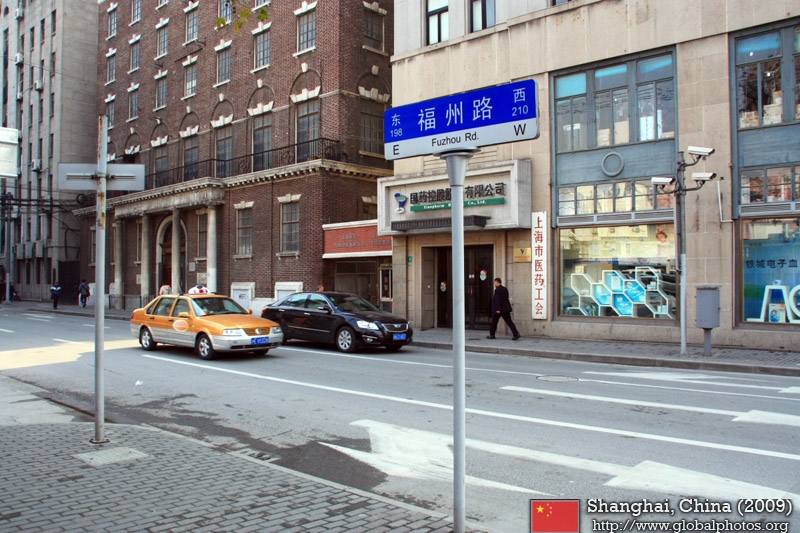
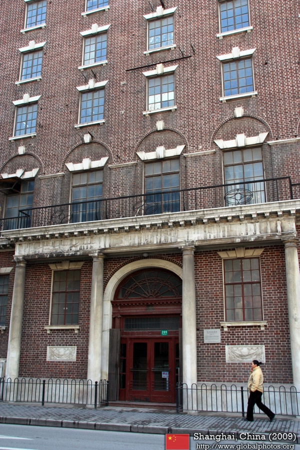
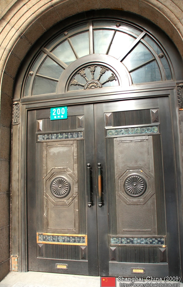
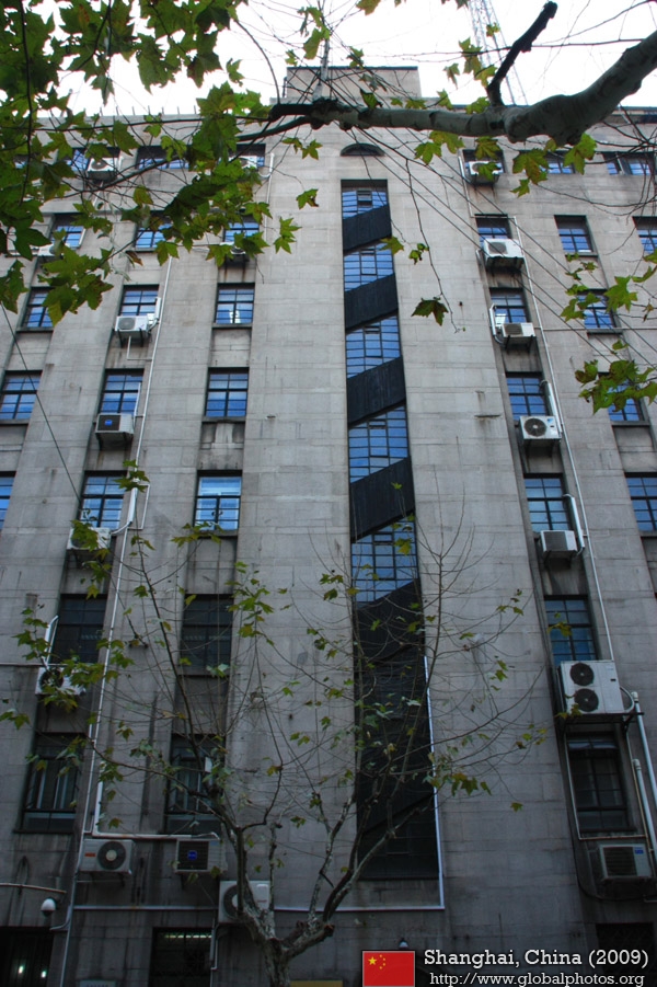
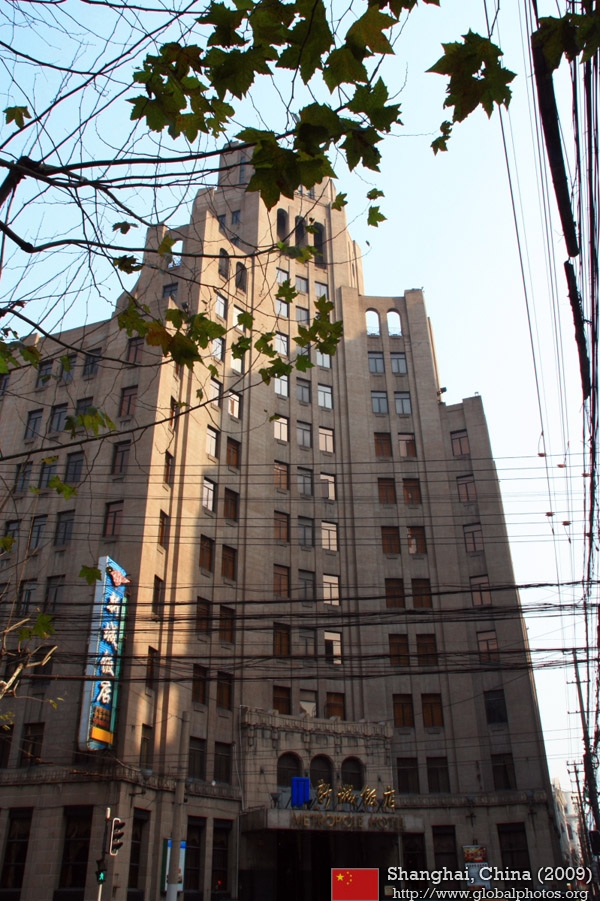
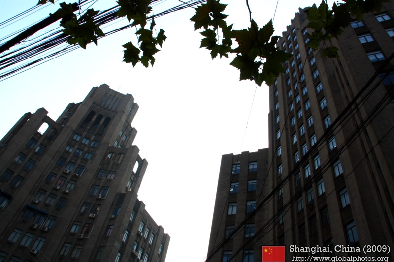
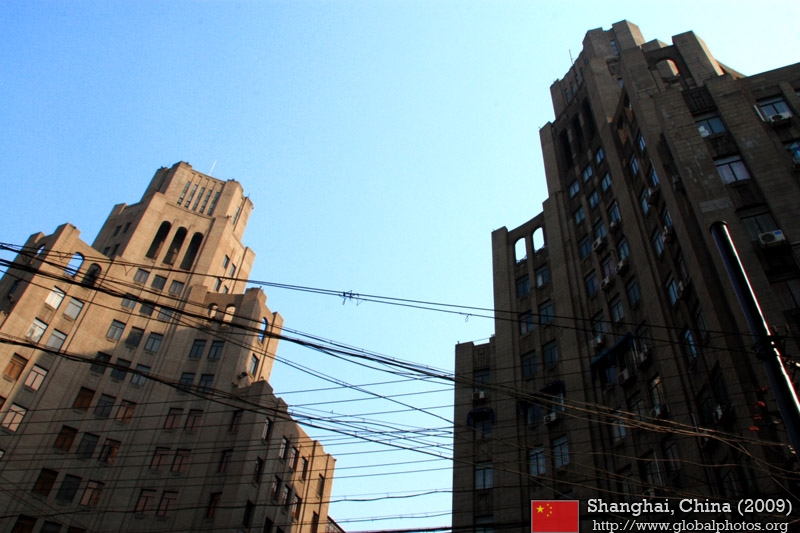
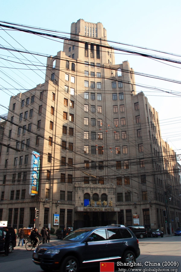
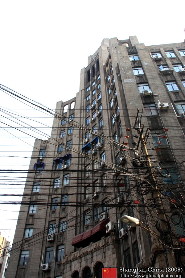
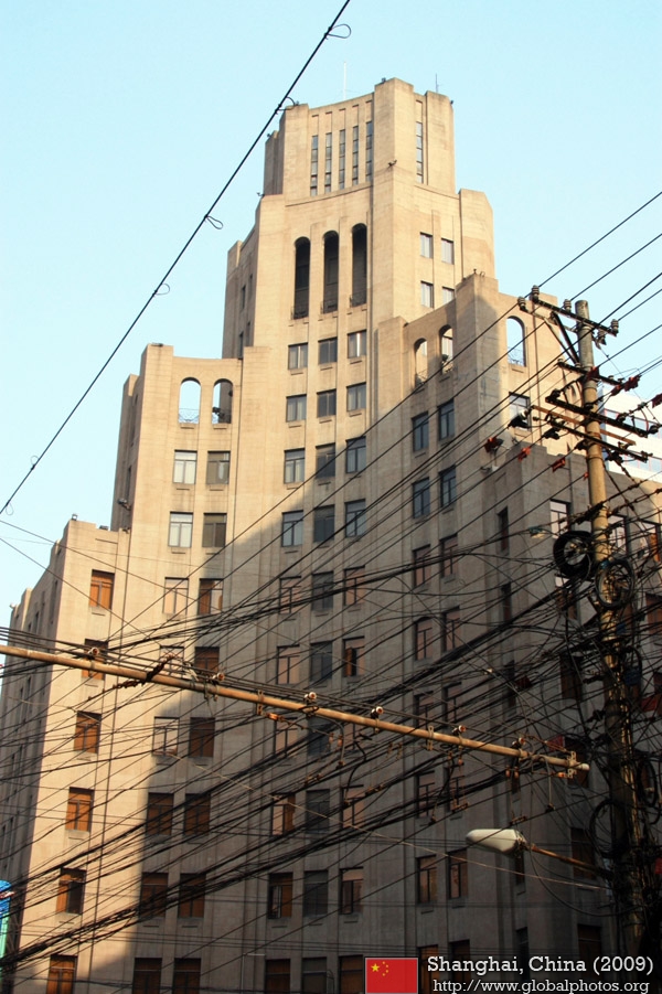
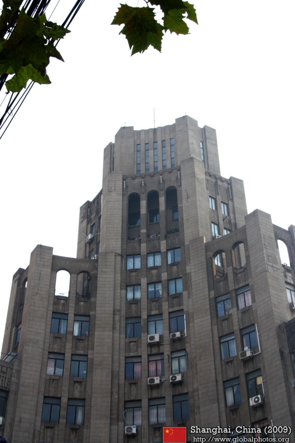
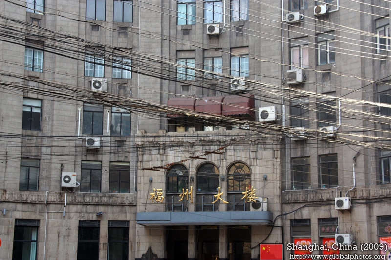
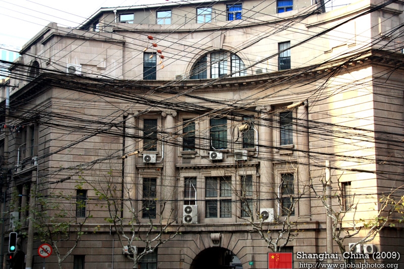
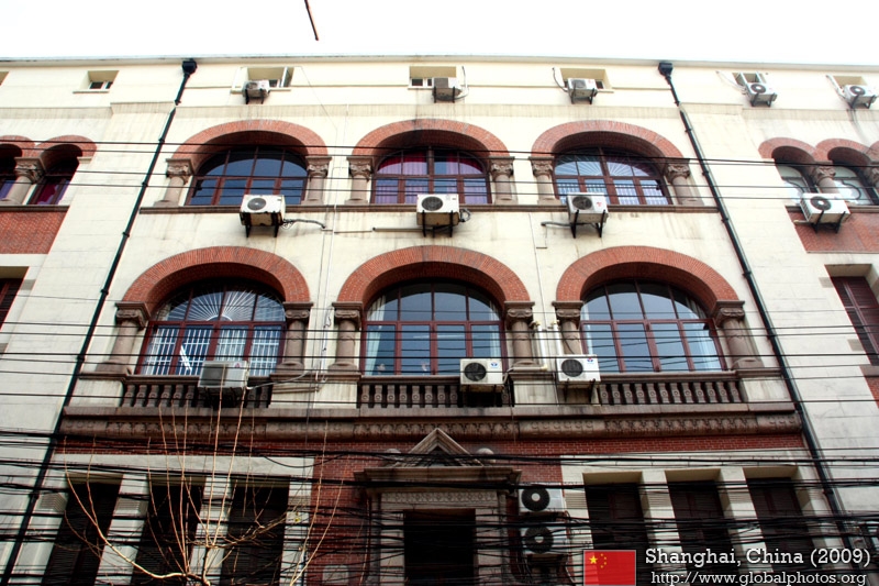
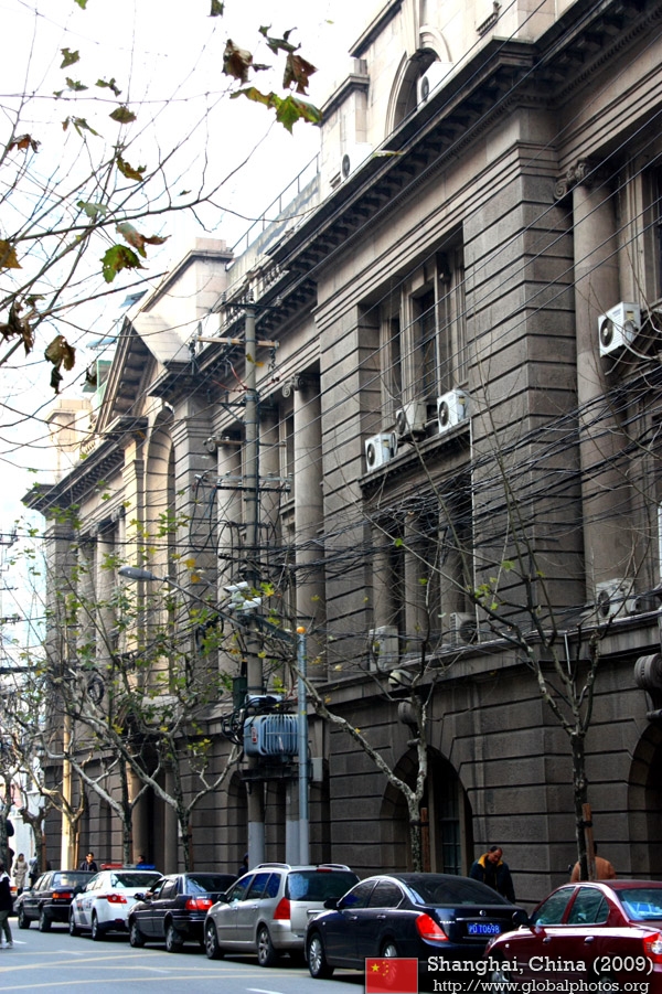
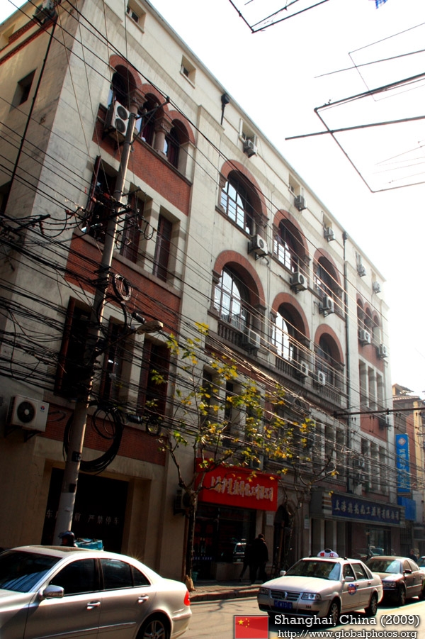
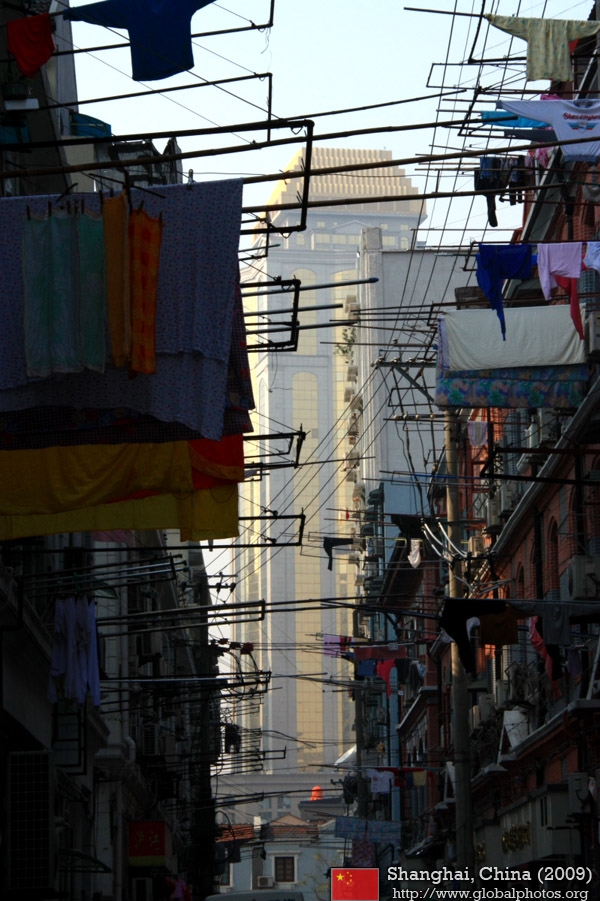
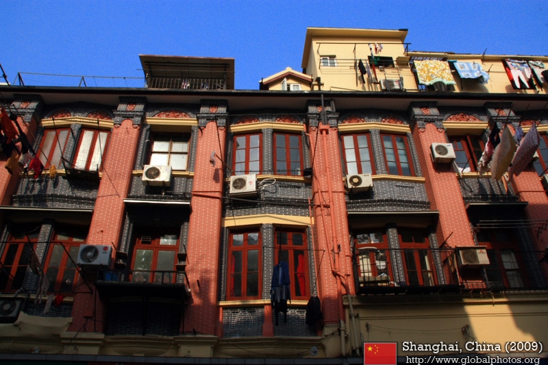
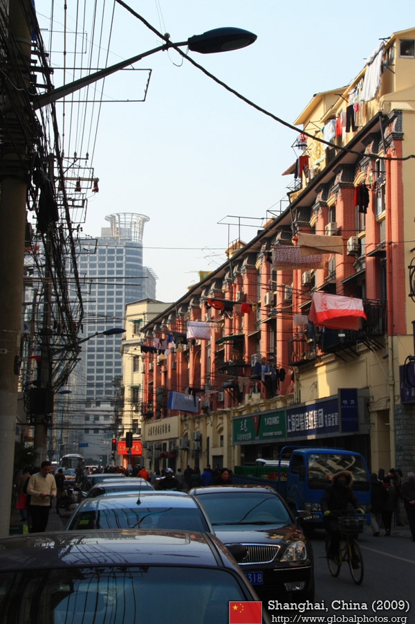
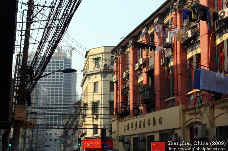
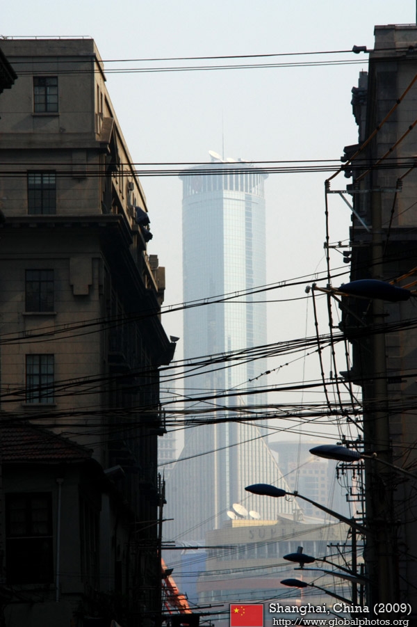
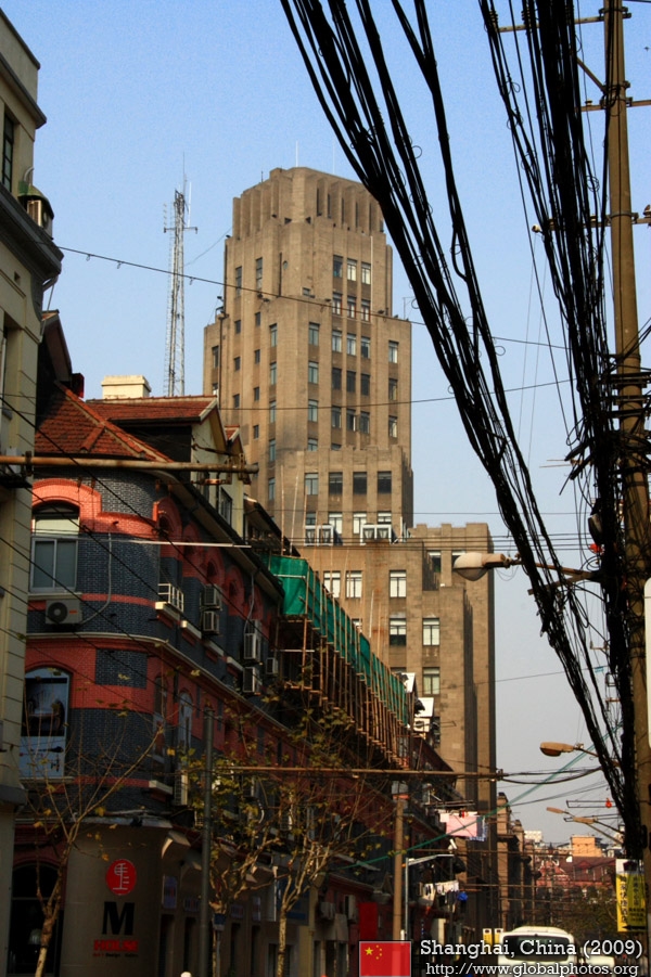
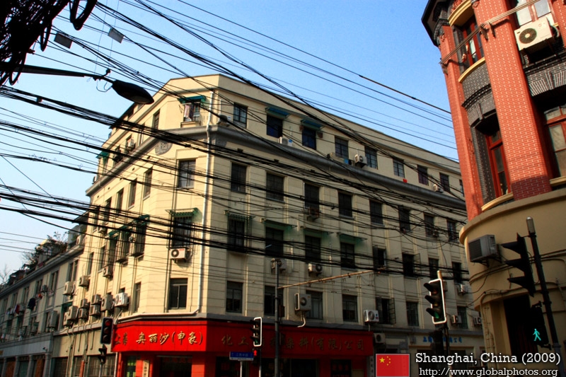
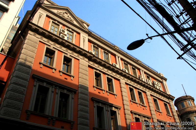
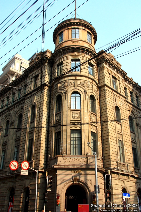
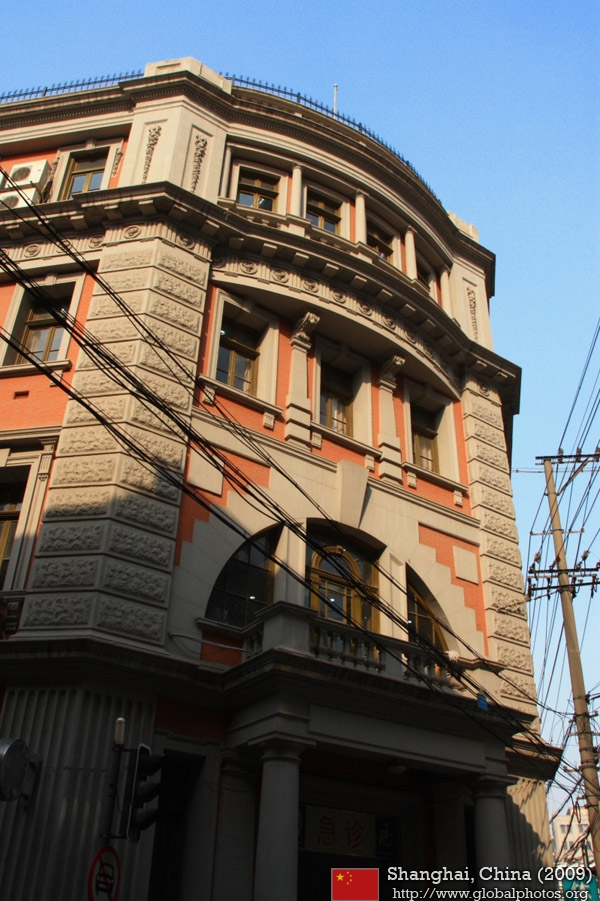
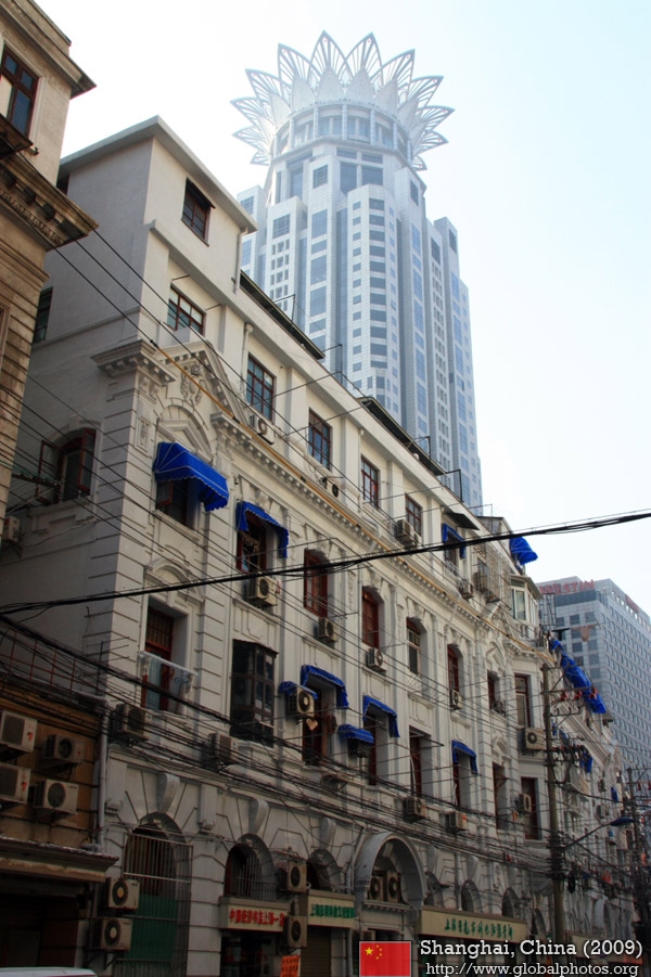
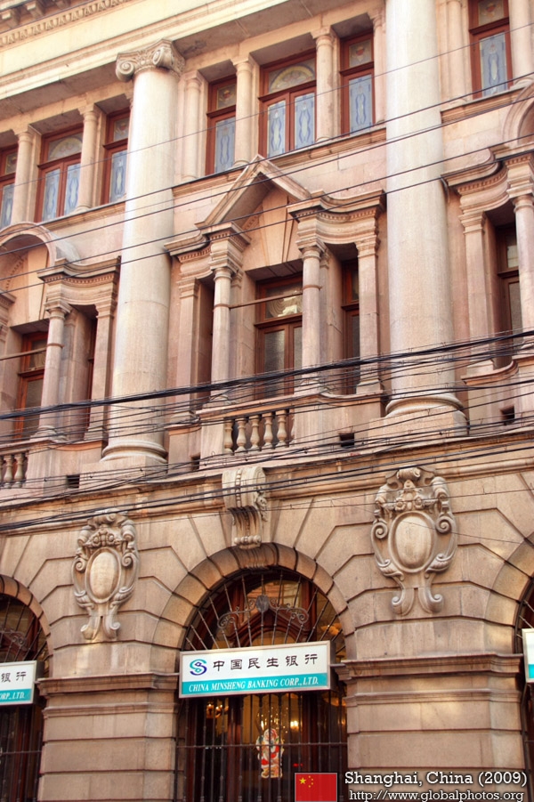
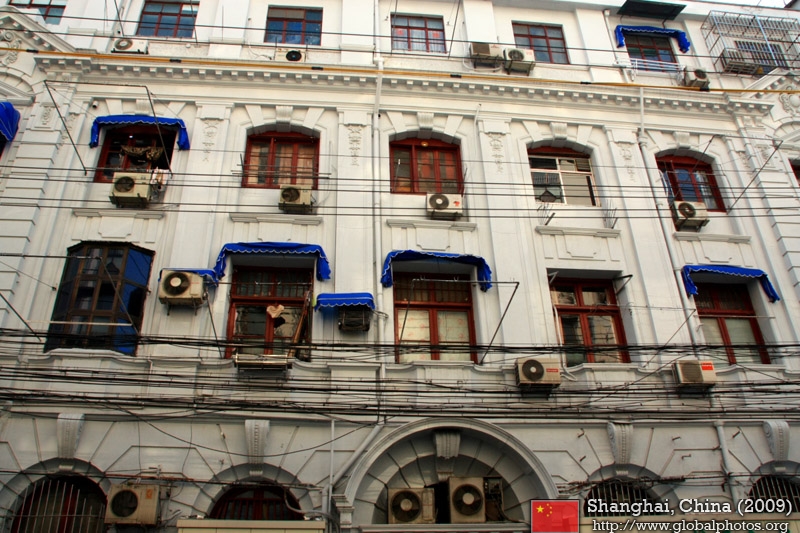
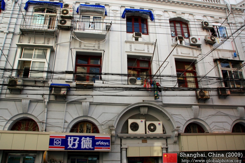
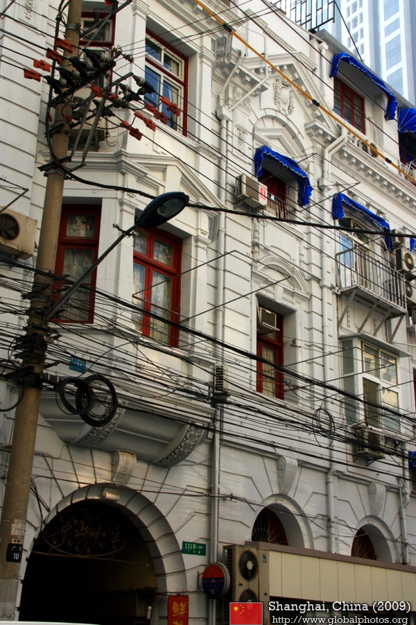
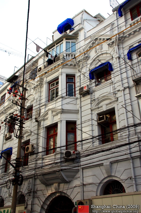
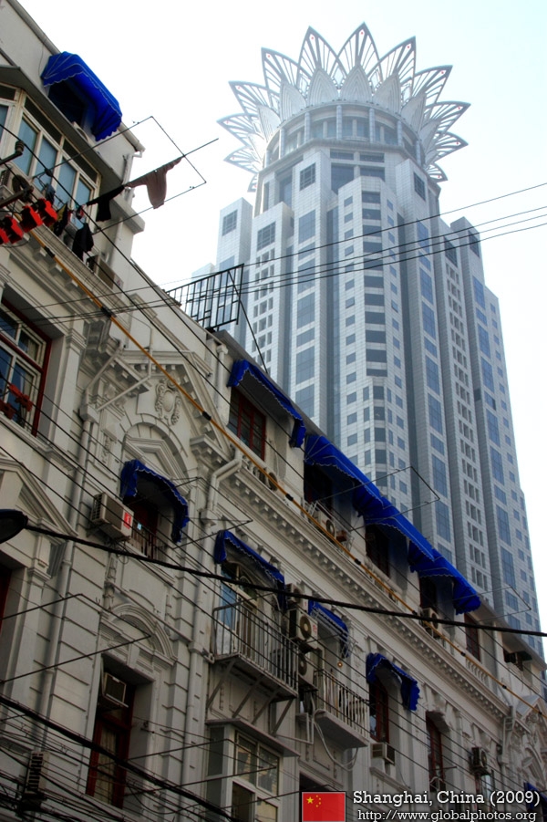
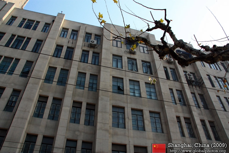
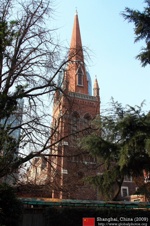
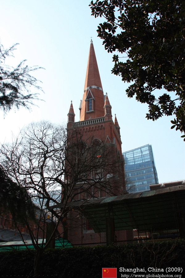
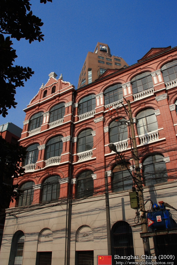
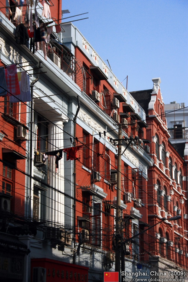
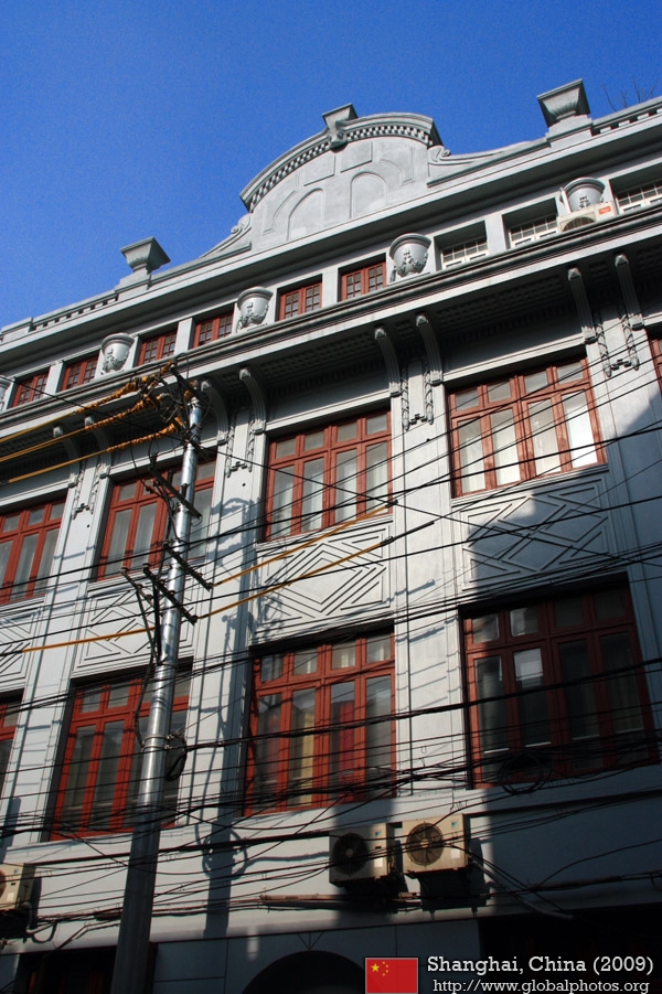
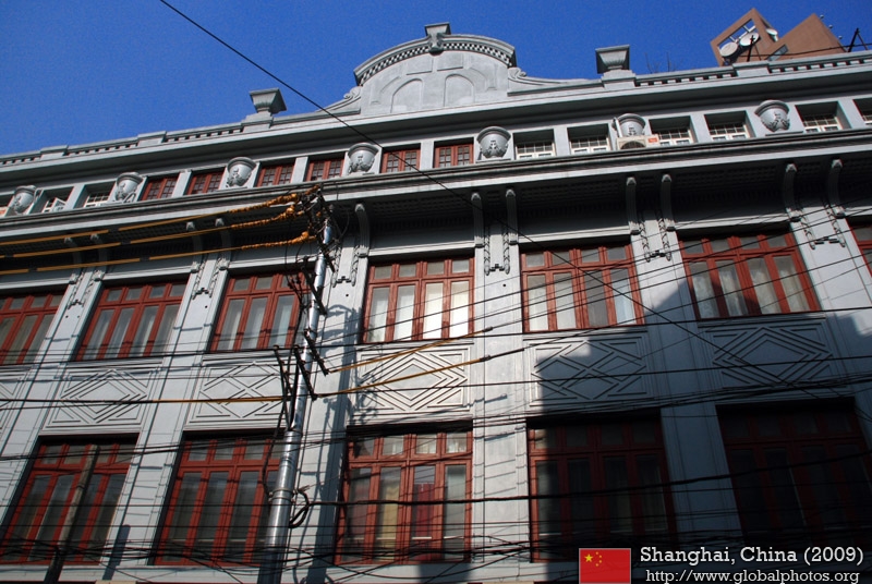
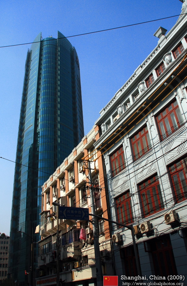
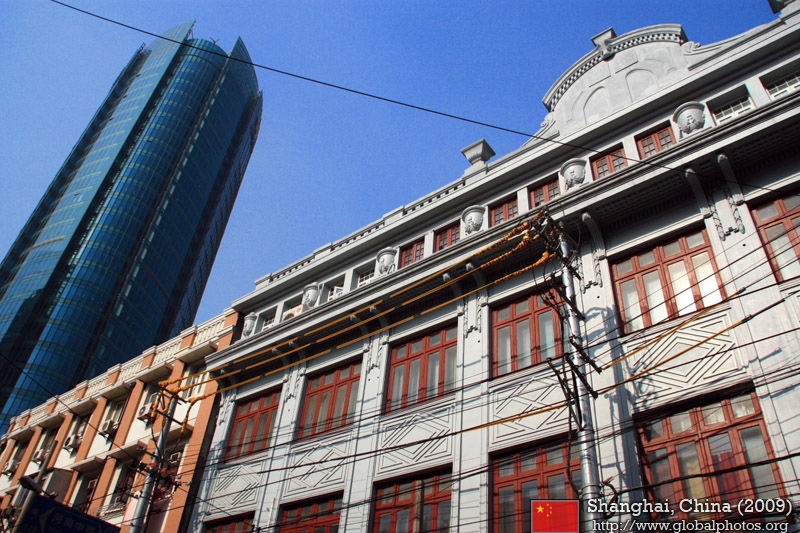
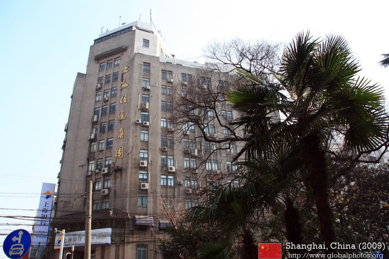
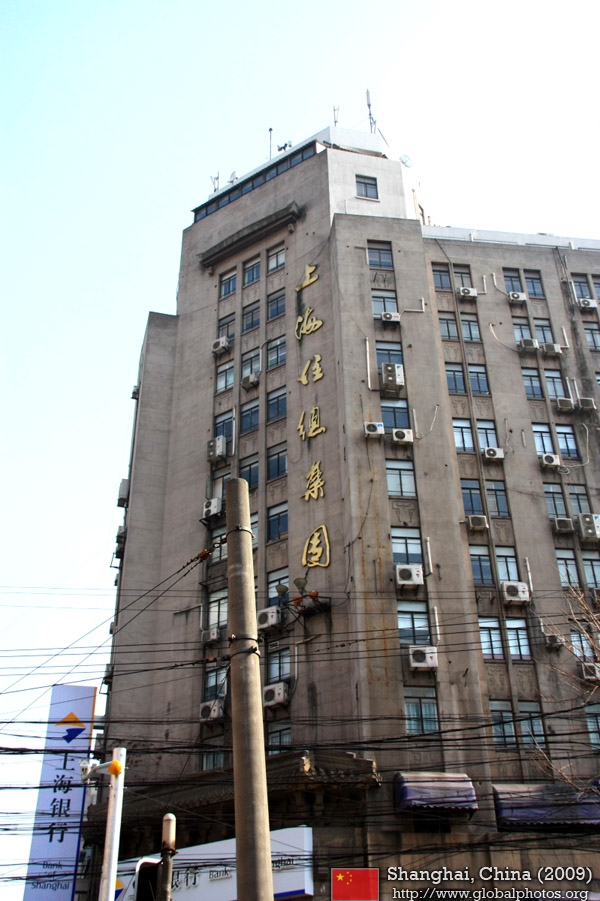
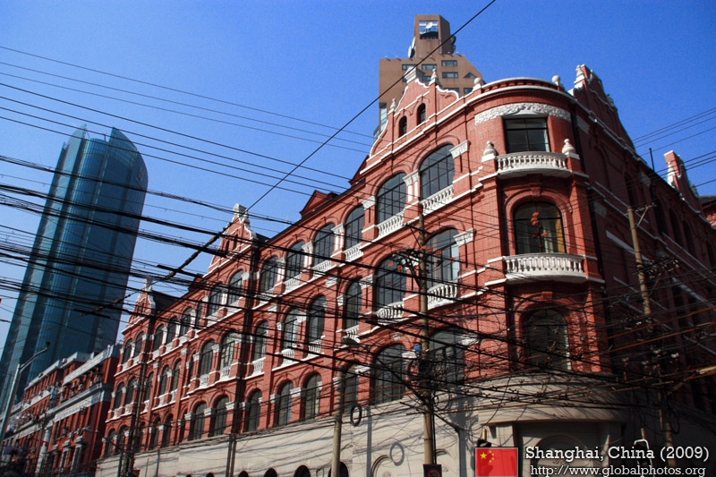
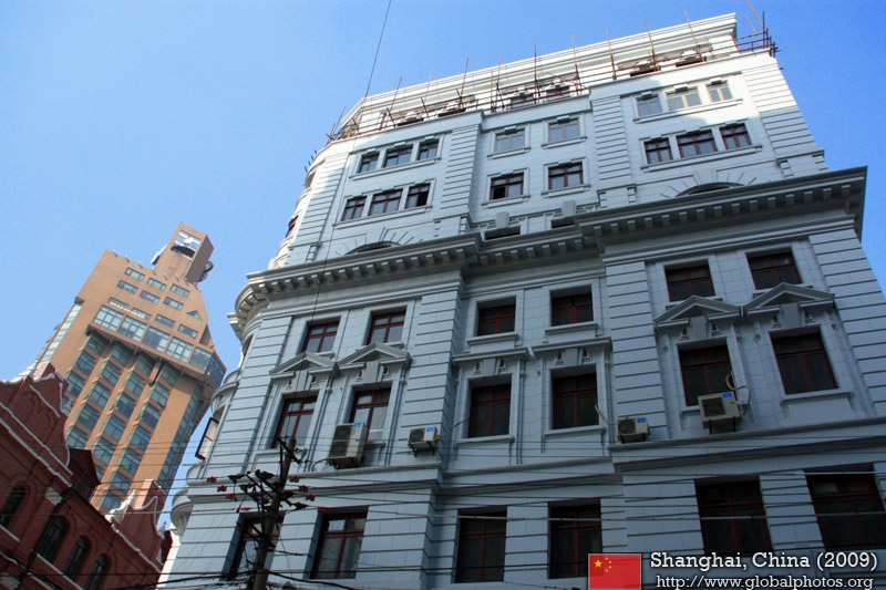
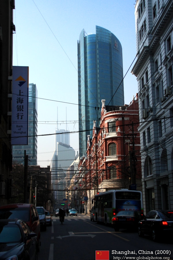
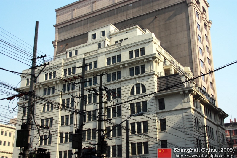
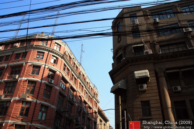
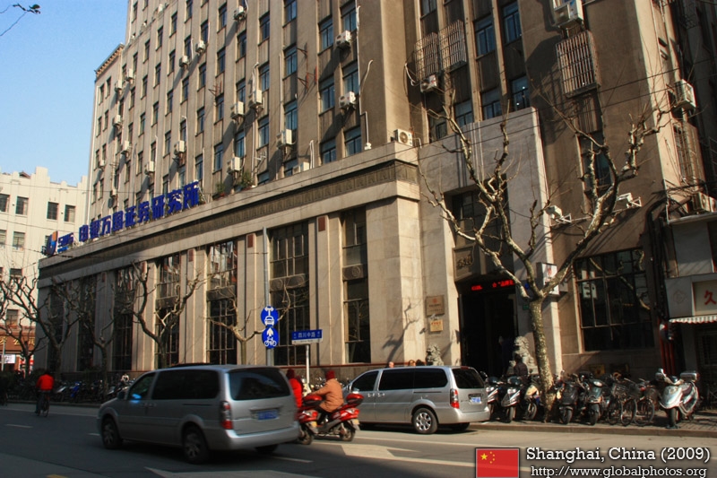
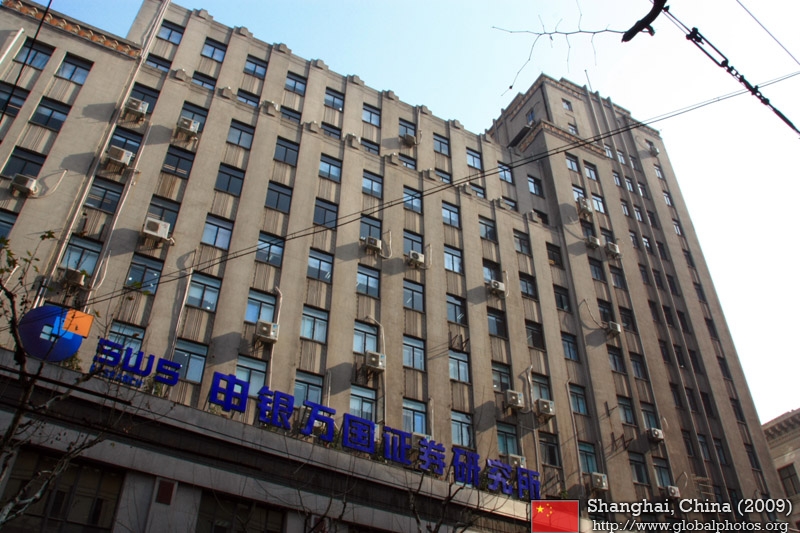
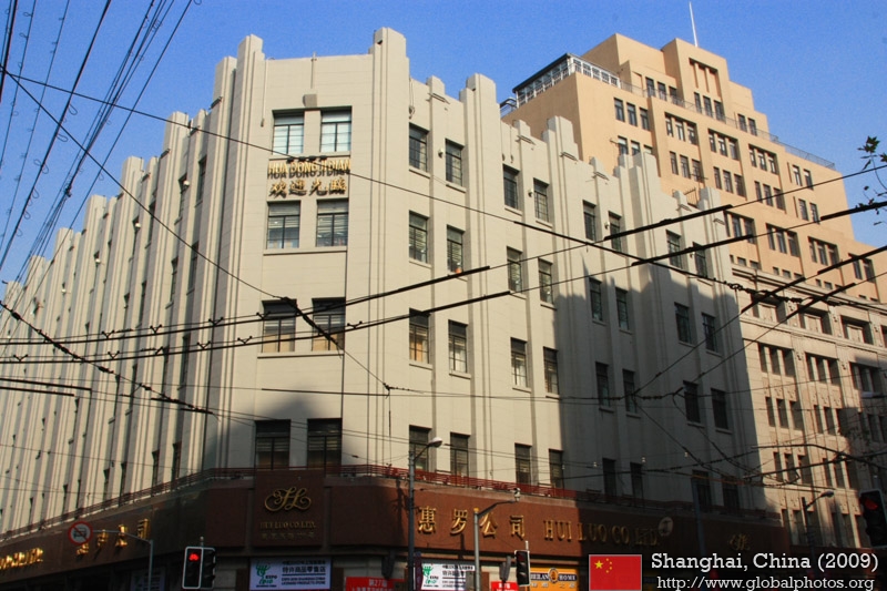
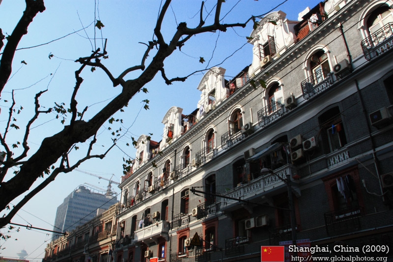
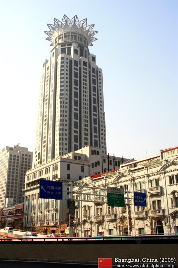
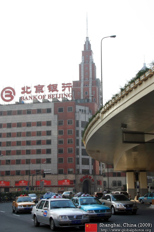
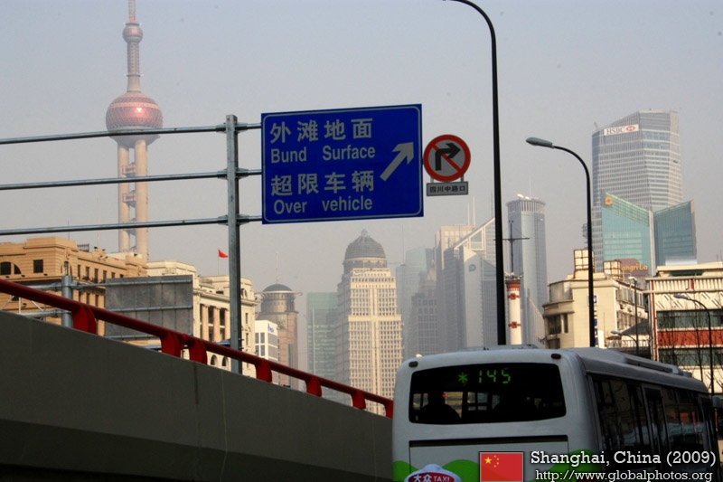
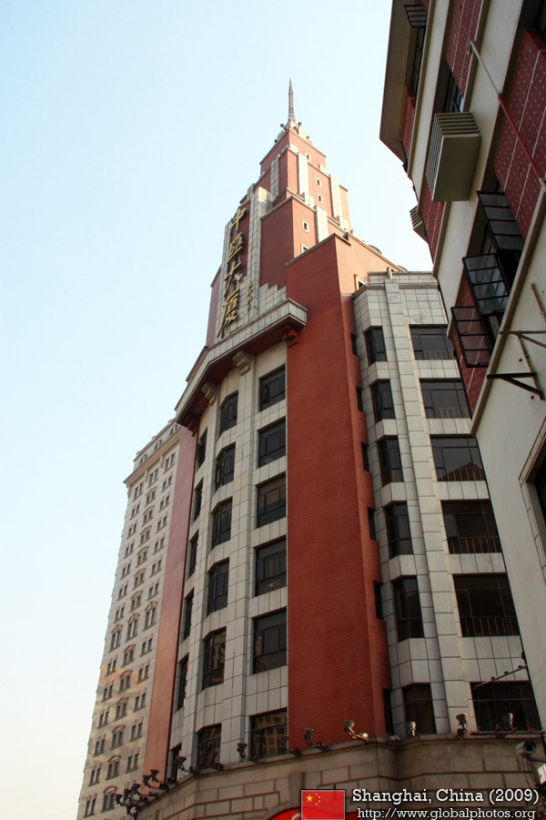
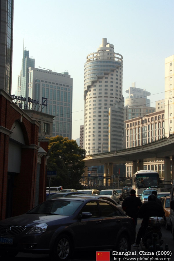
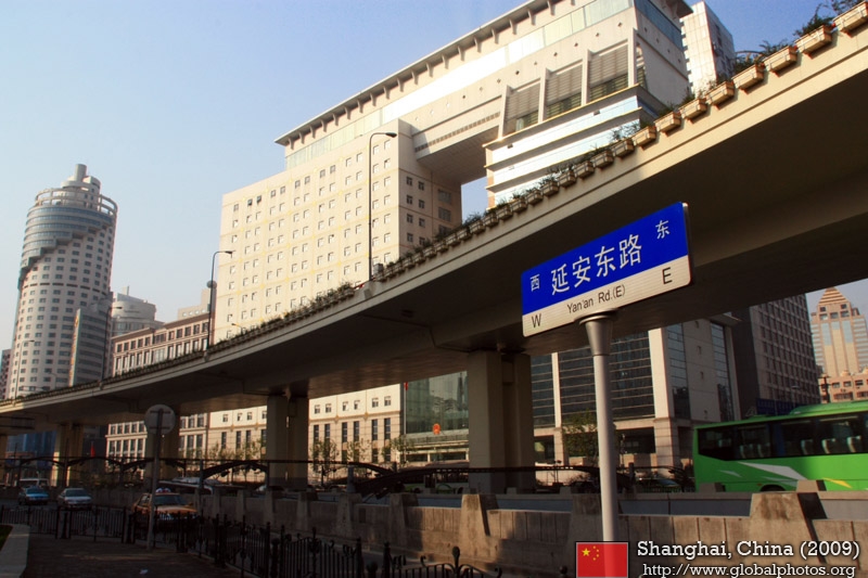
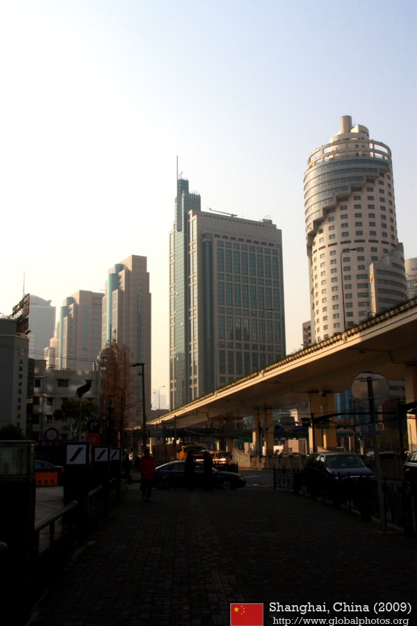
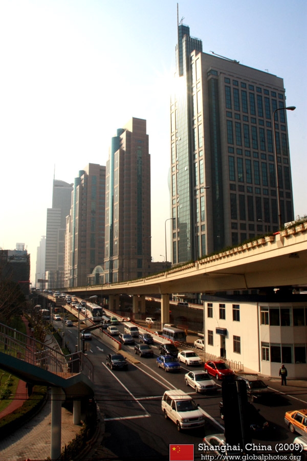
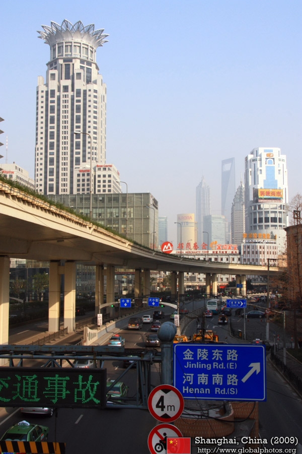
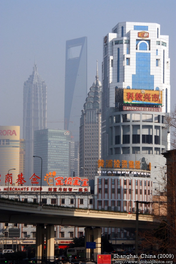
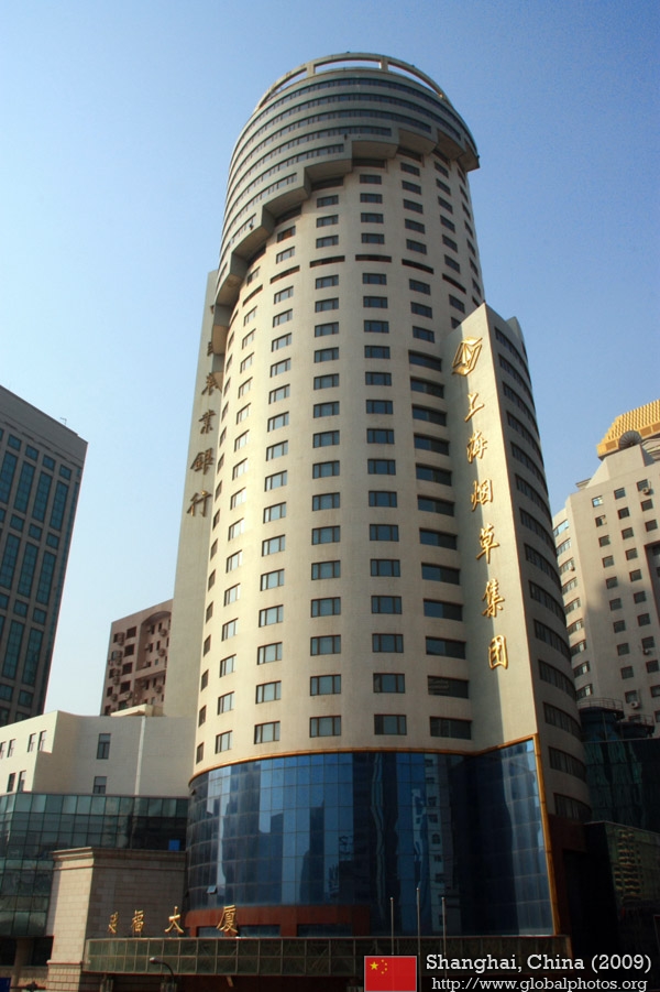
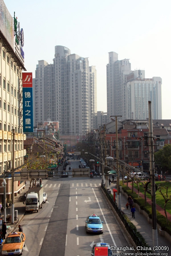
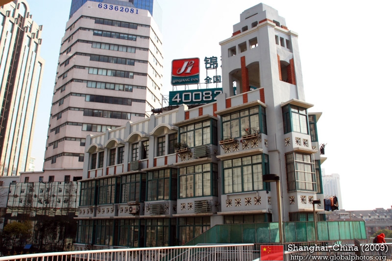
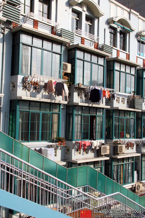
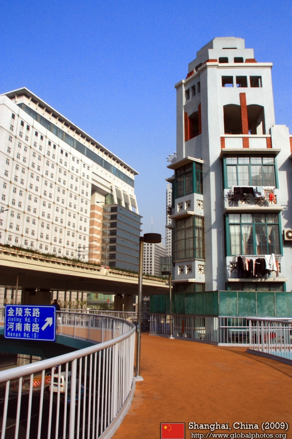
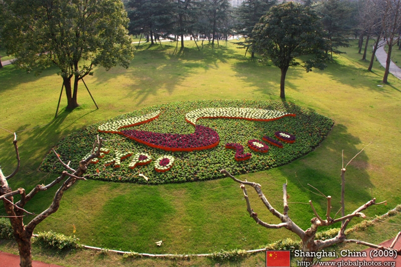
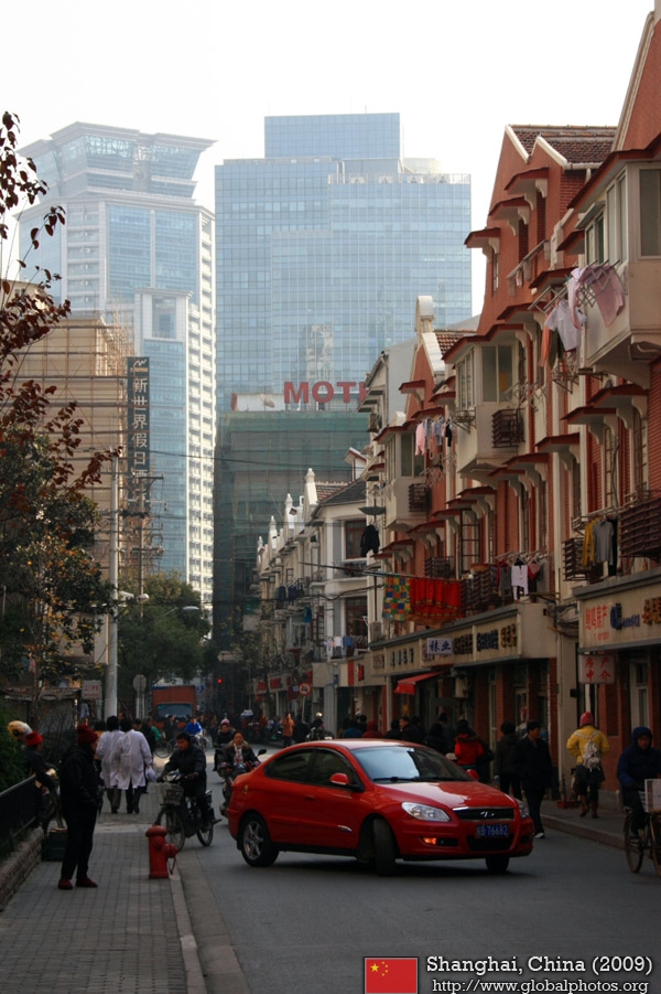
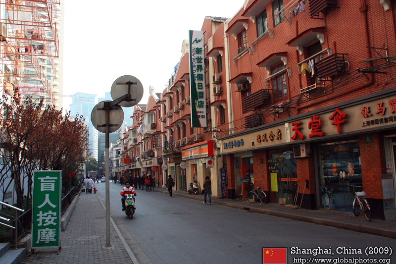
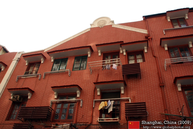
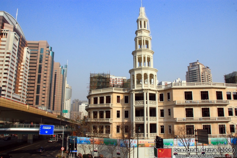
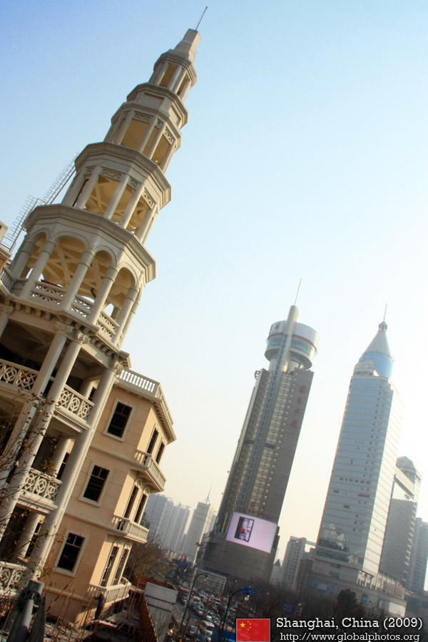
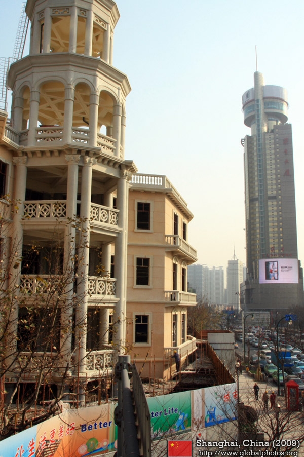
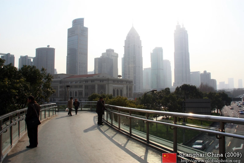
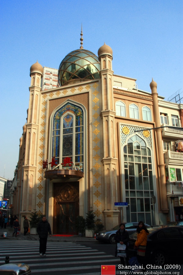
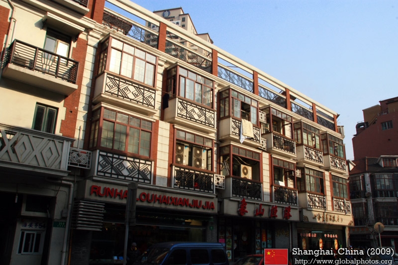
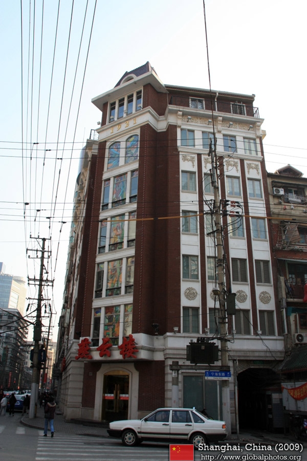
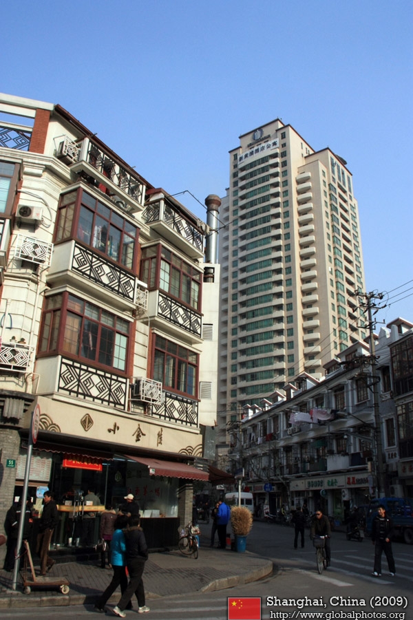
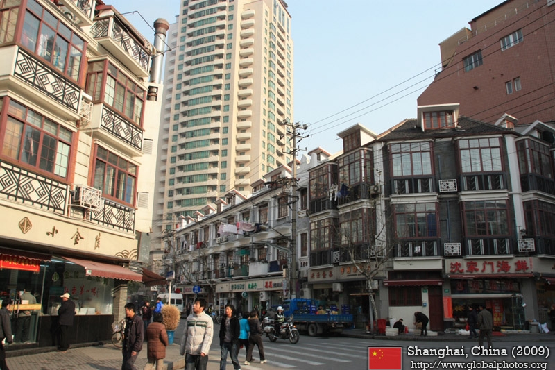
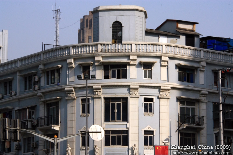
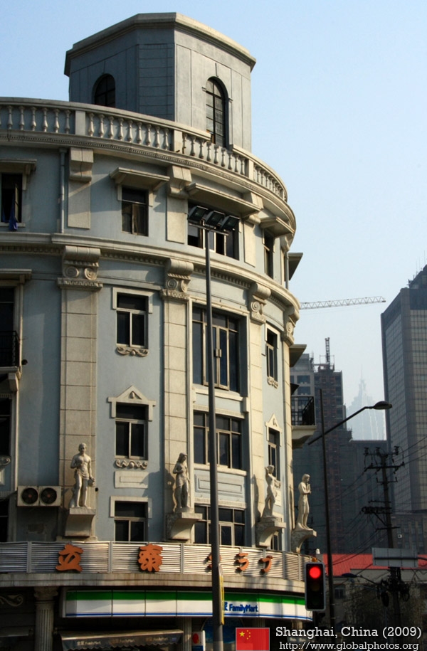
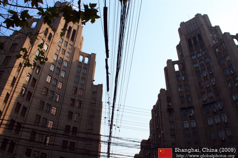
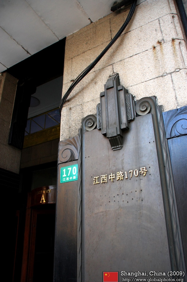
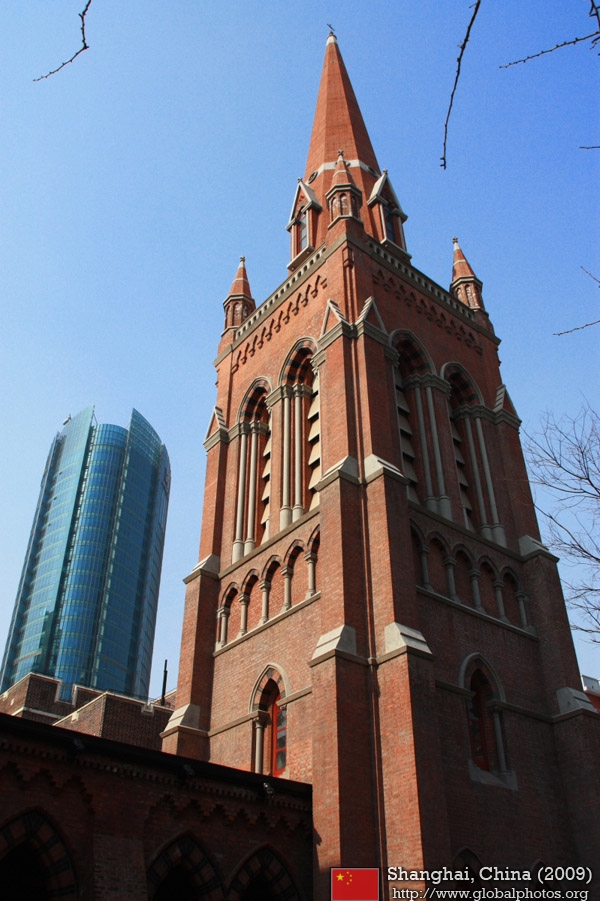
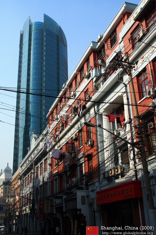
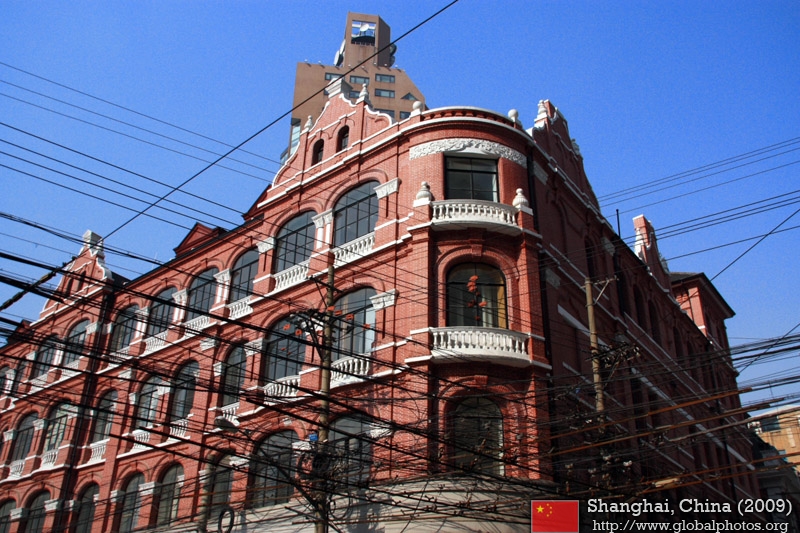
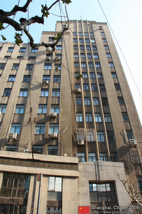
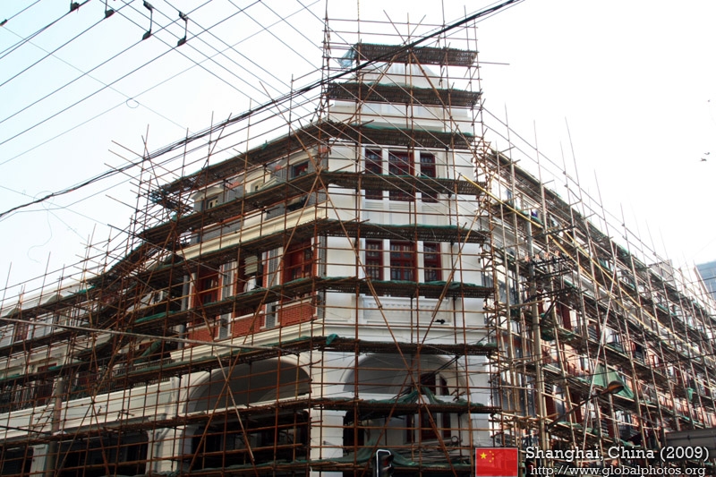
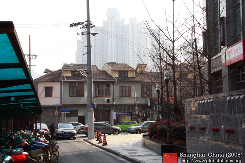
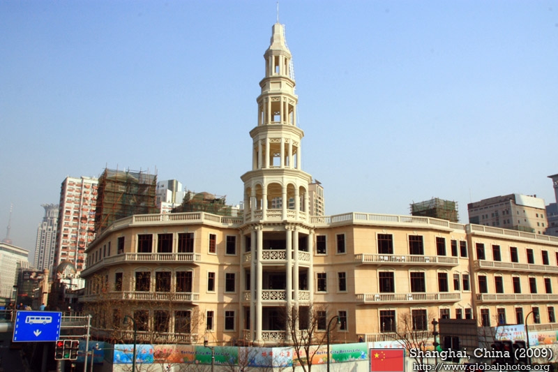
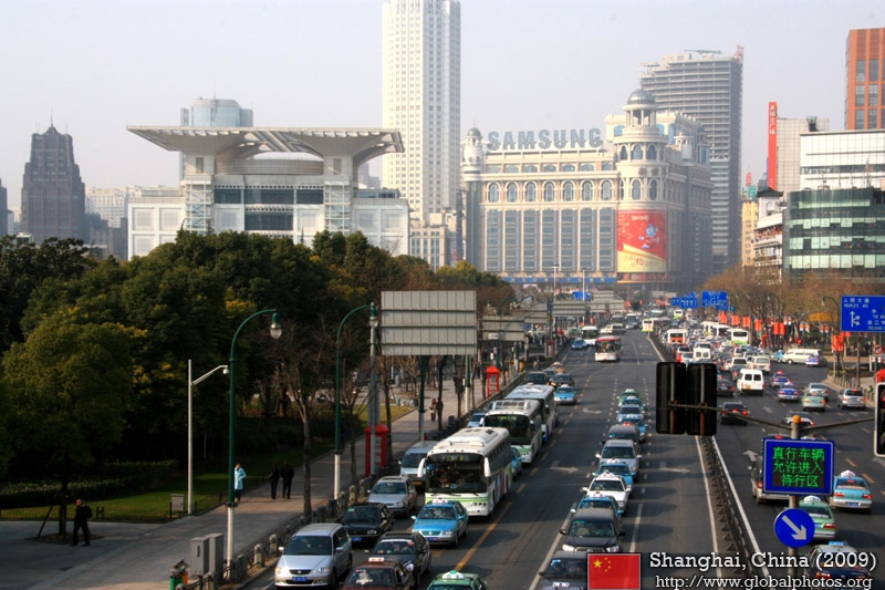
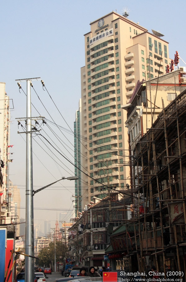
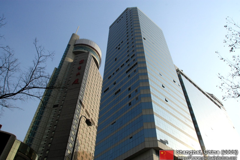
The next set of photos were taken at street level. |
||
|
||
|
|
|
|
|
|
|
|
|
|
||
|
|
|
|
|
|
|
|
|
|
||
|
|
|
|
|
|
|

|
|
|
||
|
|
|
|
|
|
|
|
|
|
||
|
|
|
|
|
|
|
|
|
|
||
|
|
|
|
|
|
|
|
|
|
||
|
|

|
|
|
|
|
||
|
||
|
|
|
|
|
|
|
|
|
|
||
|
|
|
|
|
|
|
|
|
|
||
|
|
|
|
|
|
|
|
|
|
||
|
|

|
|
|
|
|
||
|
||
|
|

|
|
|
|
|
|
|
|
||
|
|
|
|
|
|
|
|
|
|
||
|
|
|
|
|
|
|
|
|
|
||
|
|
|
|
|
|

|
|
|
|
||
|
|
|
|
|
|
|
||
|
||
|
|
|
|
|

|
|
|
|
|
||
|

|
|
|
|
|
|
|
|
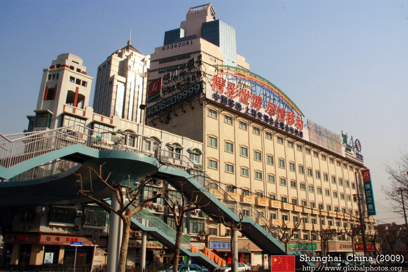
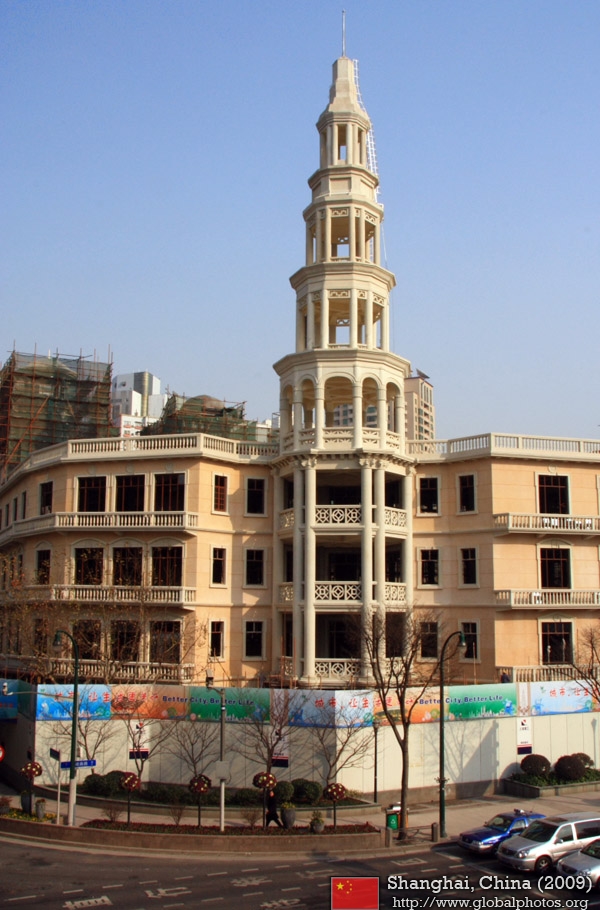
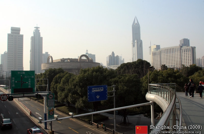
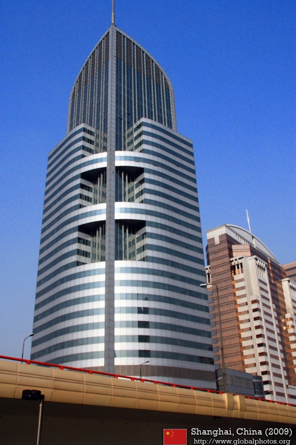
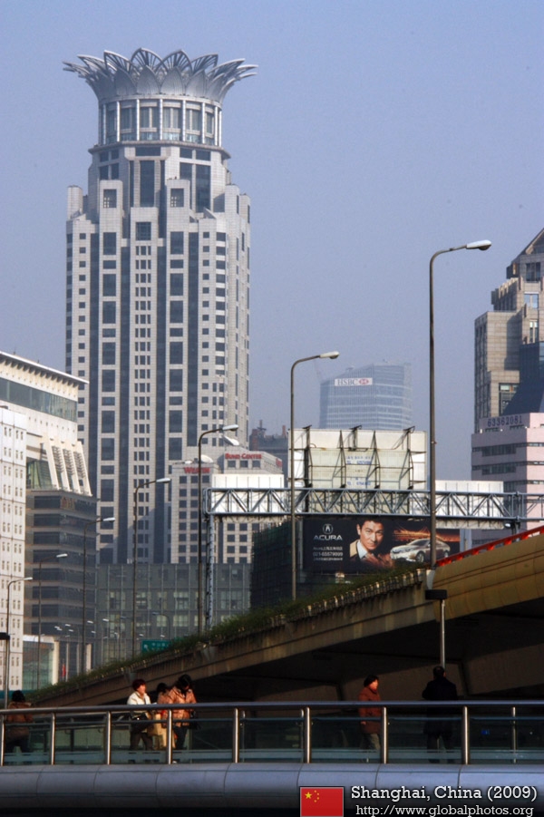
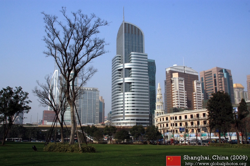
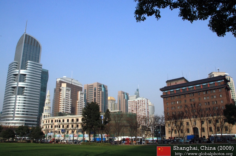
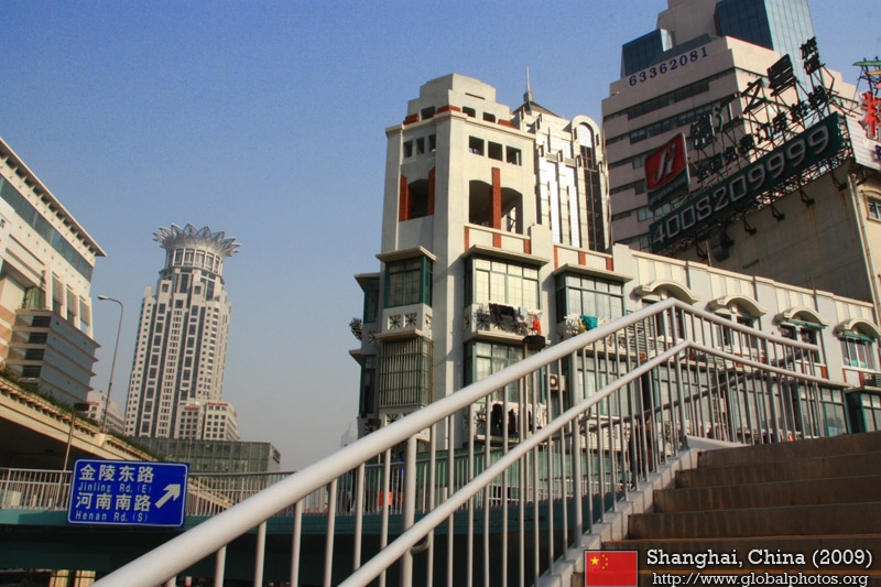
Heading back inland towards People's Square ...
|
||
|
|
|
|
|
|
|
|
|
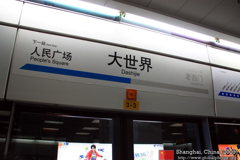
Great World was a major entertainment destination of yesteryear and is now under renovation.
|
||
|
|
|
|
|
|
|

|
|
|
||
|
|
|
|
|
|
|

|
|
|
||
|
|
|
|
|
|
|
||
|
|
|
|
|
|
Back to the Shanghai Gallery Main Page