Taipei Photo Gallery - Jiantanshan Hike
| |||
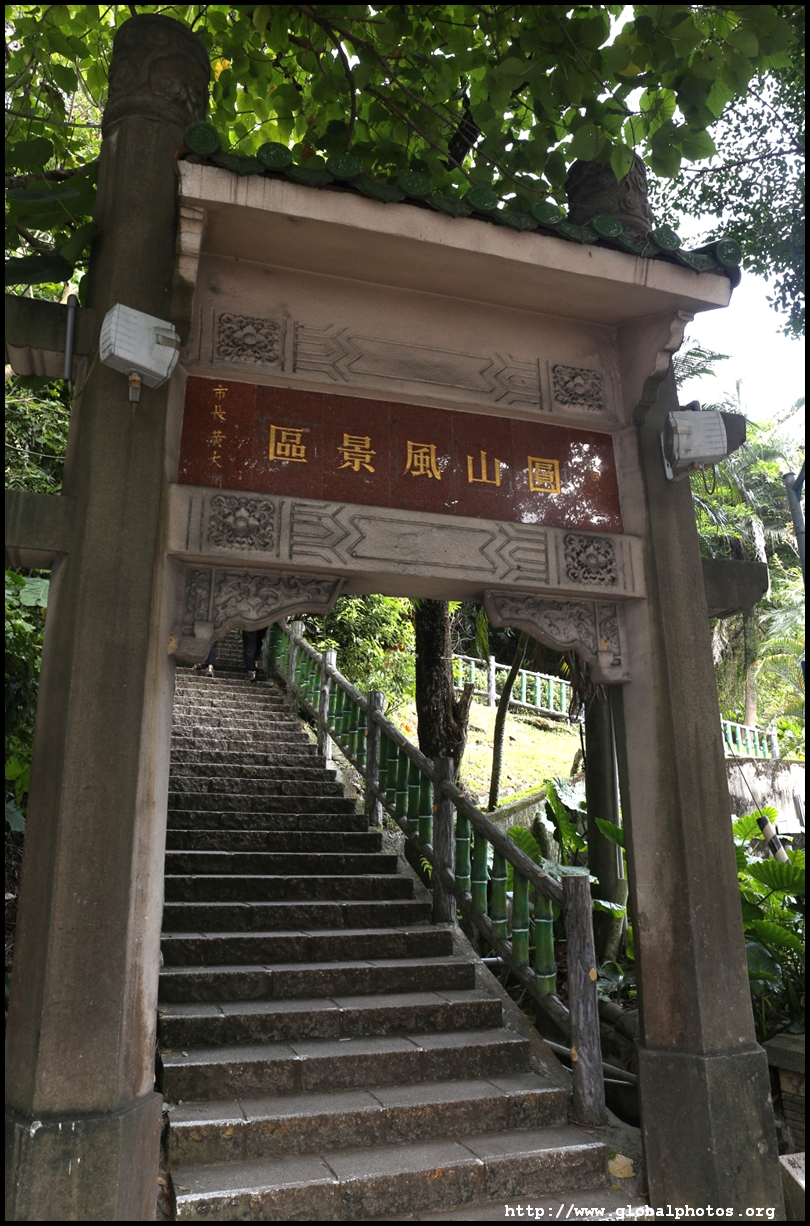
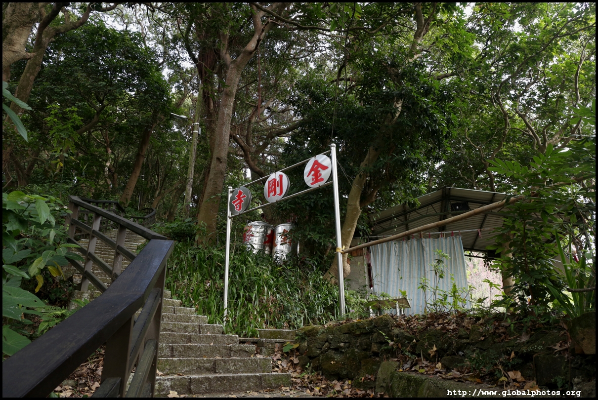
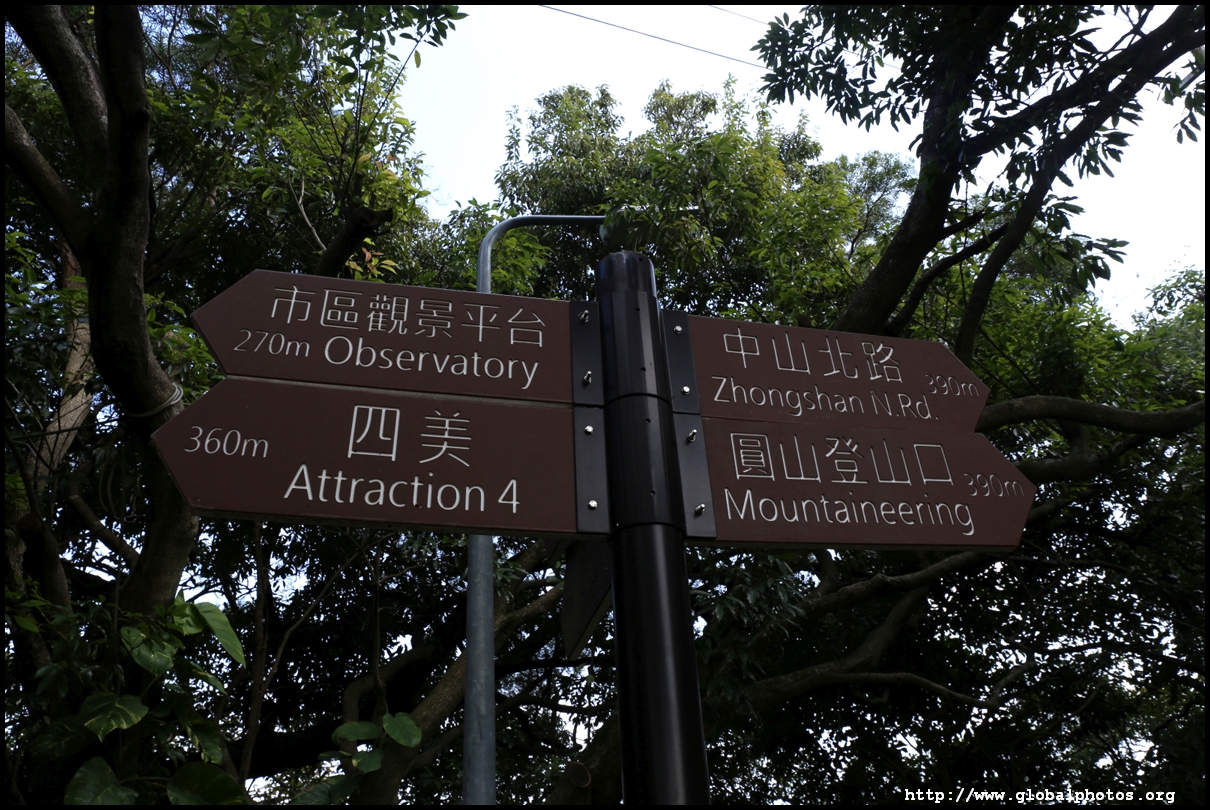
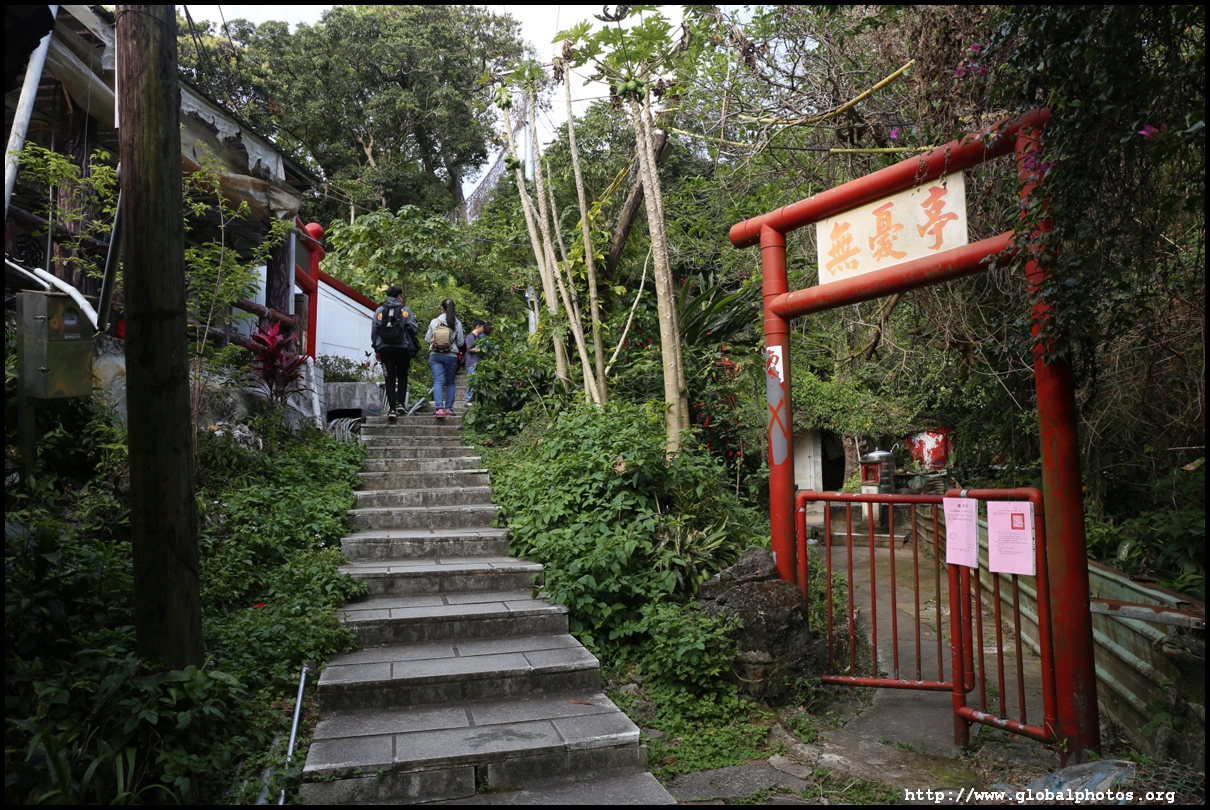
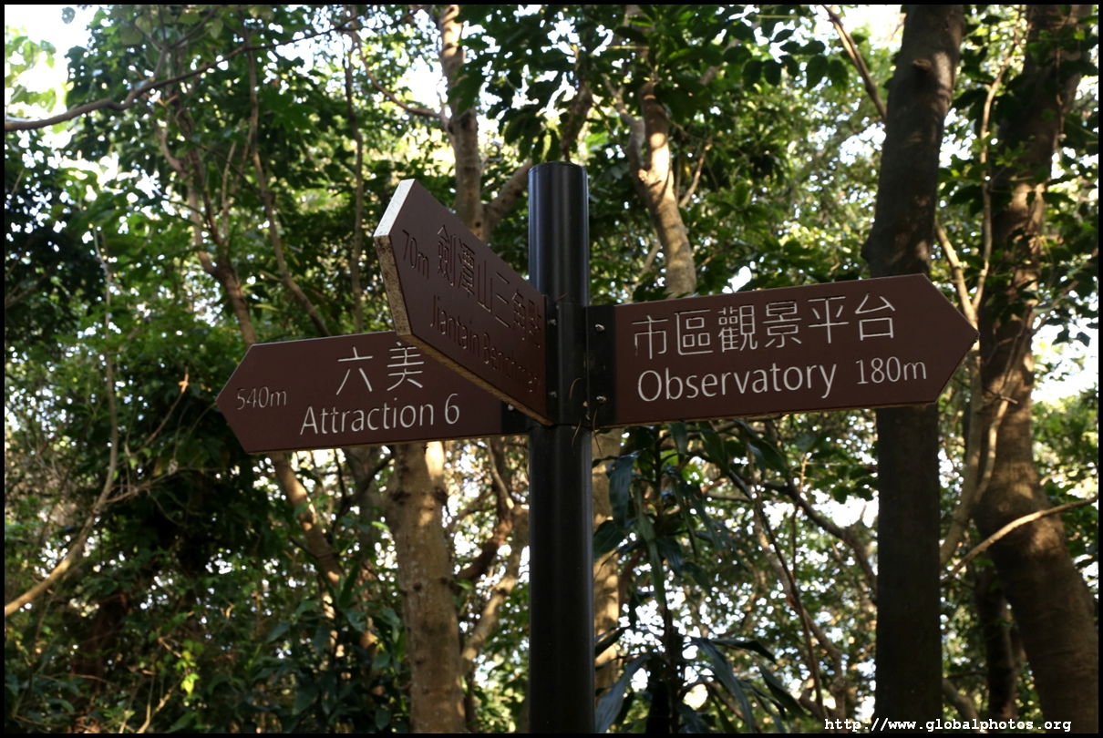
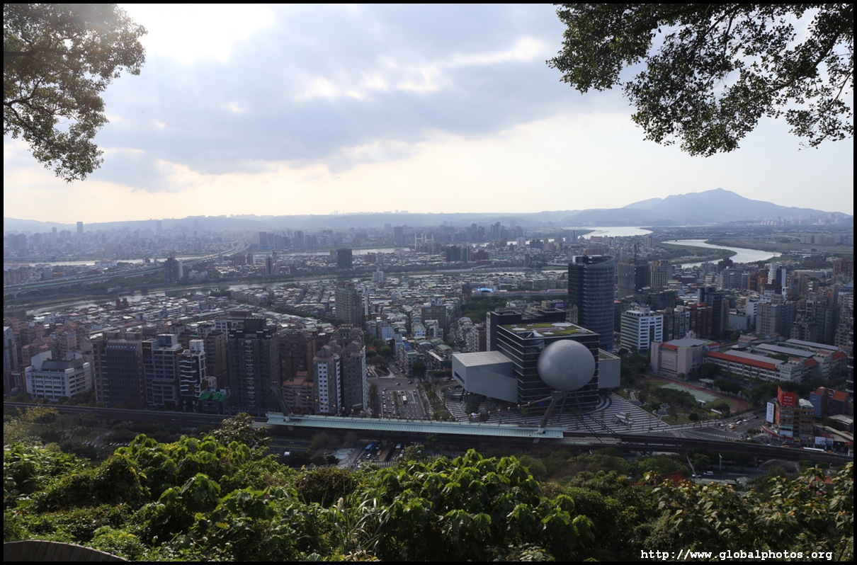
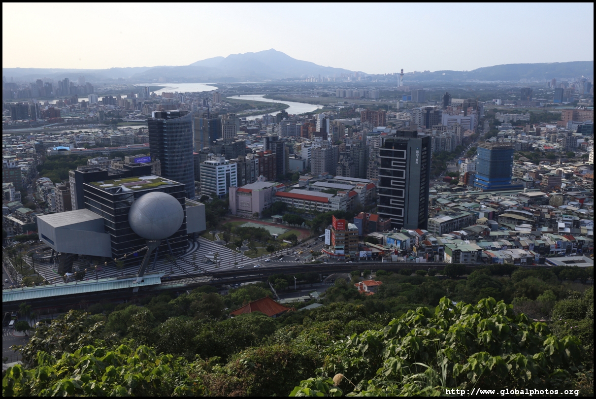
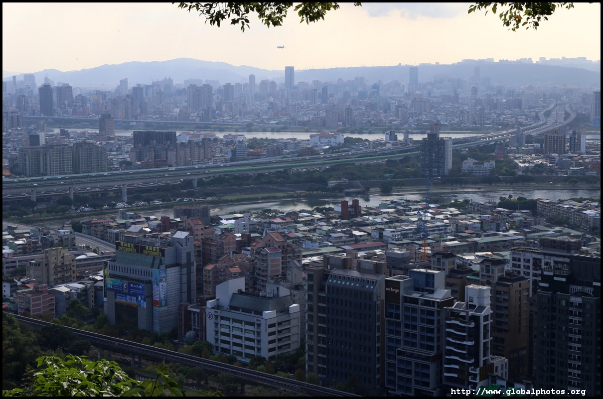
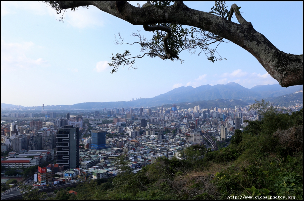
Mountains rise quickly north of the Keelung River which command a panoramic view of Taipei from the north. Take the MRT's red line to Jiantan station. It is only a 60 minute roundtrip hike to a good look-out point with a moderately-difficult ascent. This is not a touristy route but the views are wider and higher than Elephant Hill, which is now a regular feature in the guidebooks.Take exit 2 and cross the street towards the east, then walk south along Zhongshan North Road. After passing the bowling alley, you will see the trail entrance to your left. The trail has a lot of signposts.
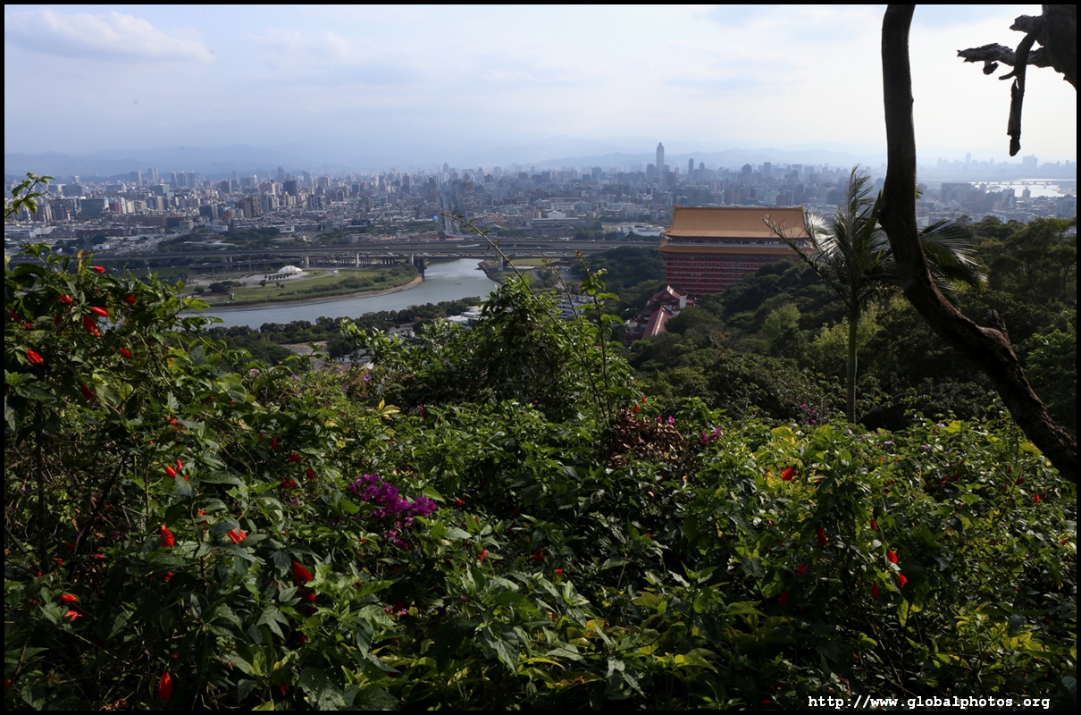
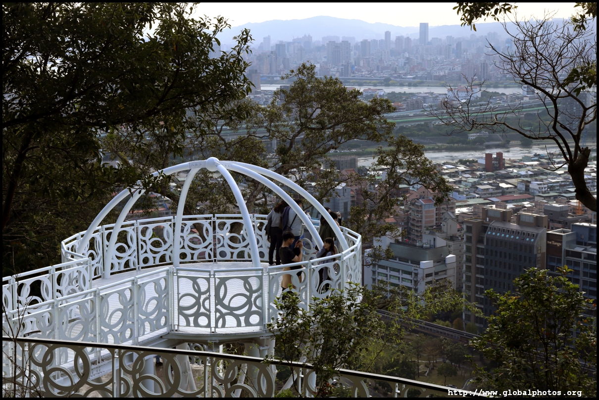
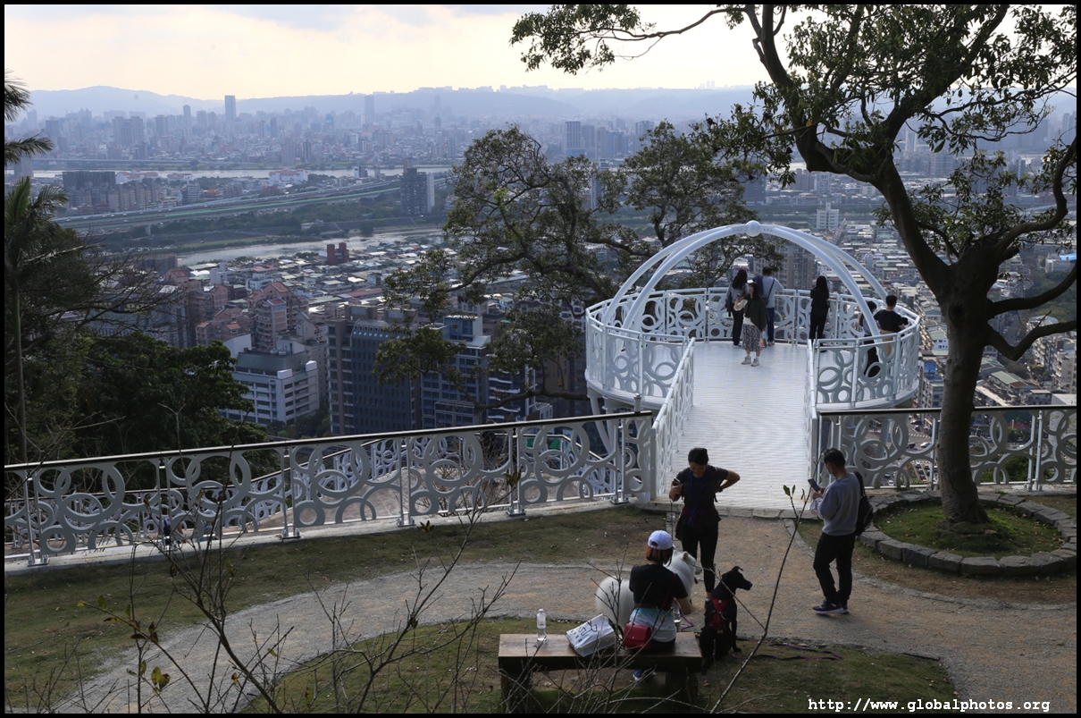
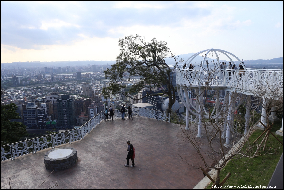
Keep following the signs to the observatory. There are actually a few lookout points further down the ridge if you want a longer hike, such as the famous "Old Place" that has become an Instagram hotspot. However, the views are all similar, looking towards the city from the north.
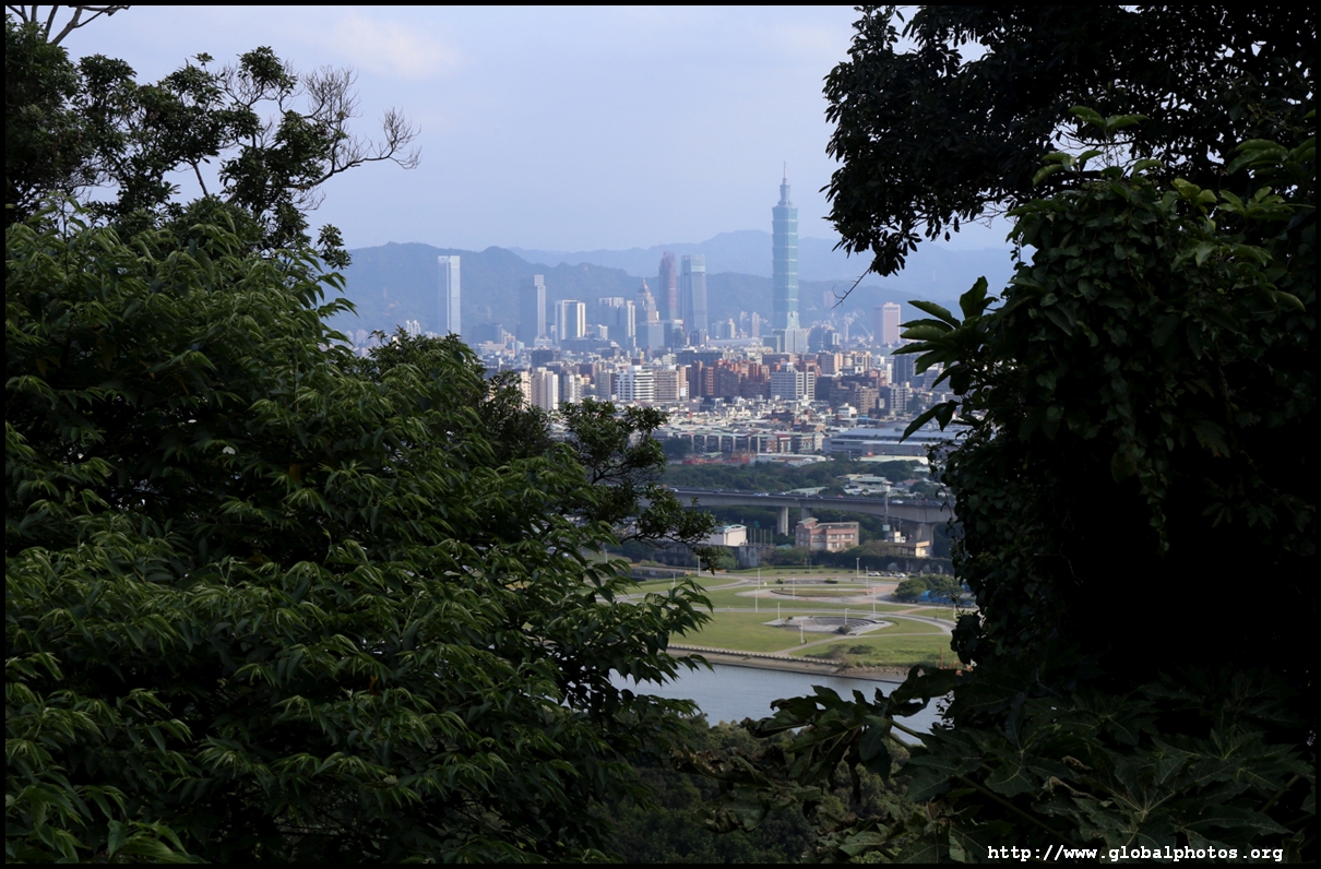
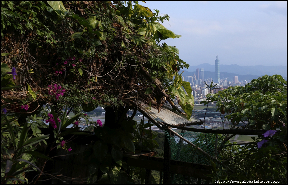
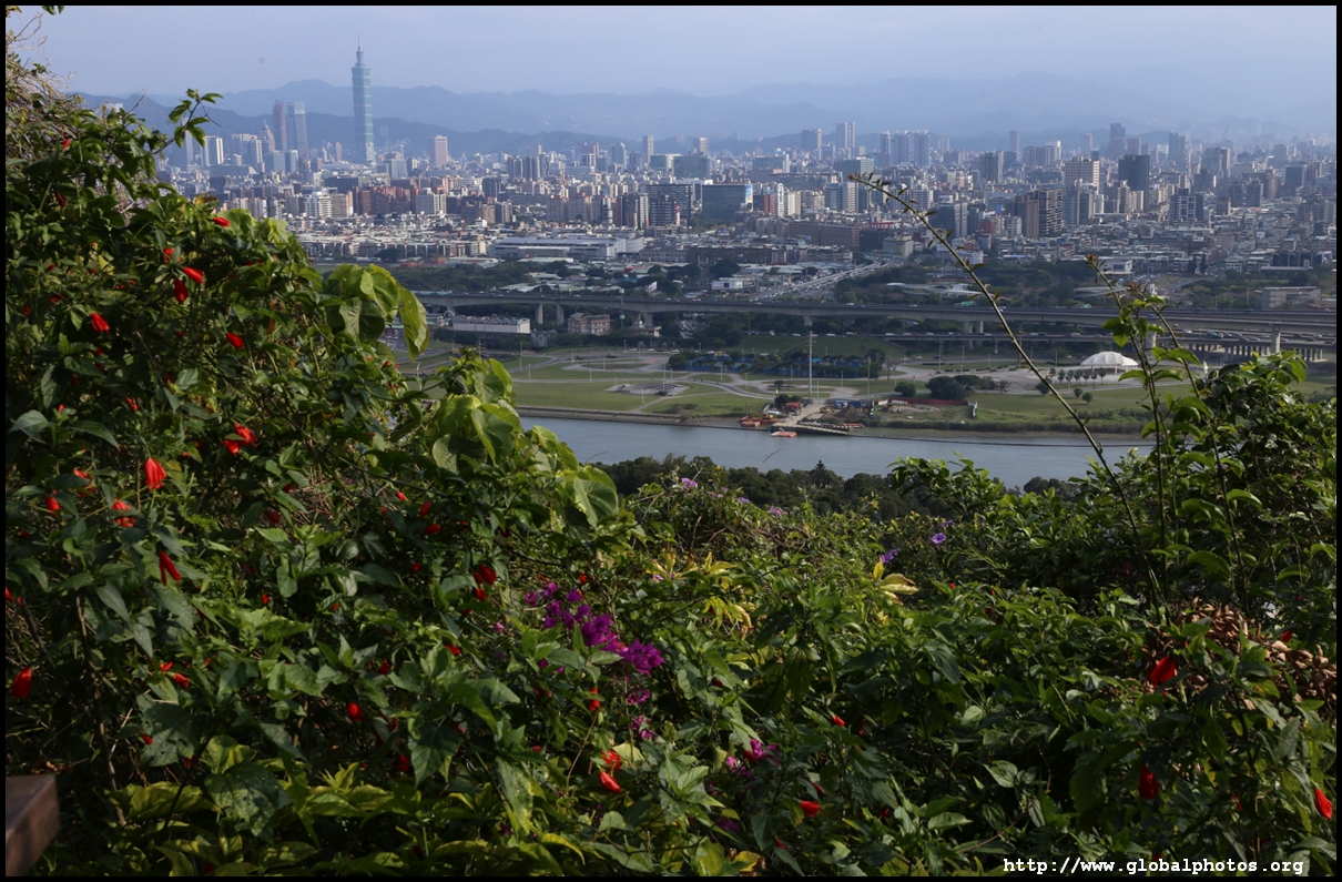
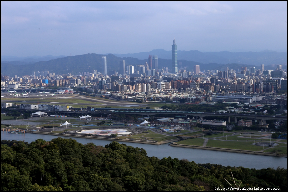
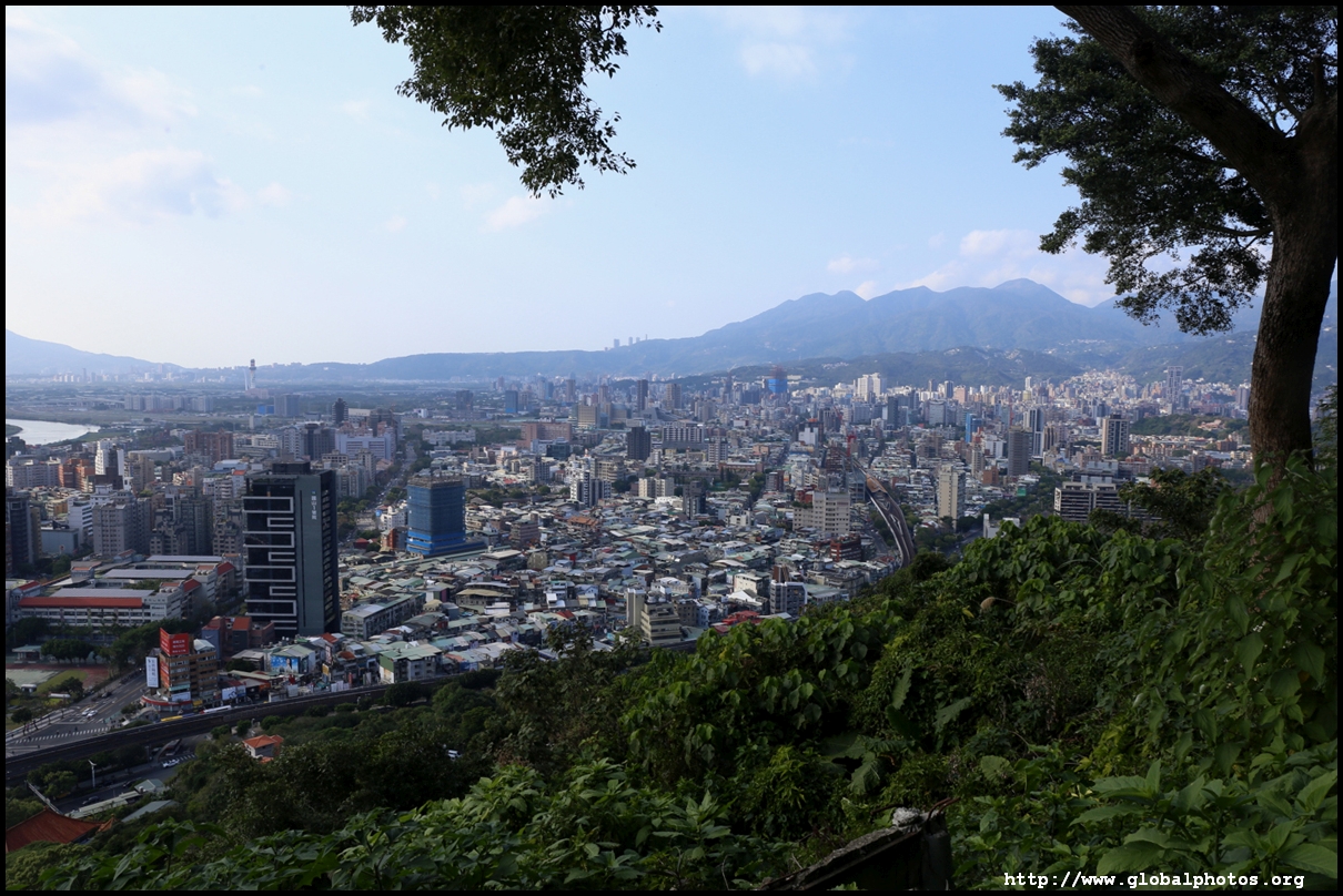
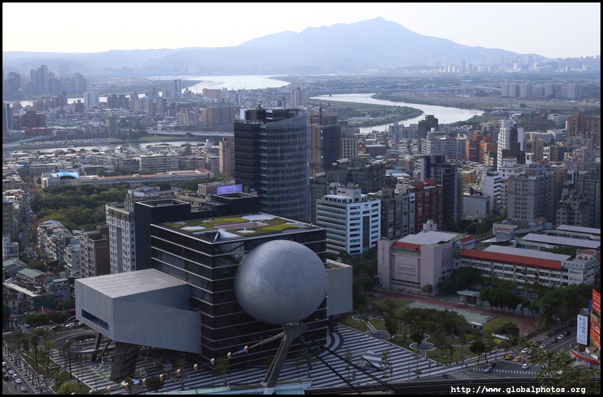
This will be a great hike to spot the new skyscraper district emerging in Xinyi.
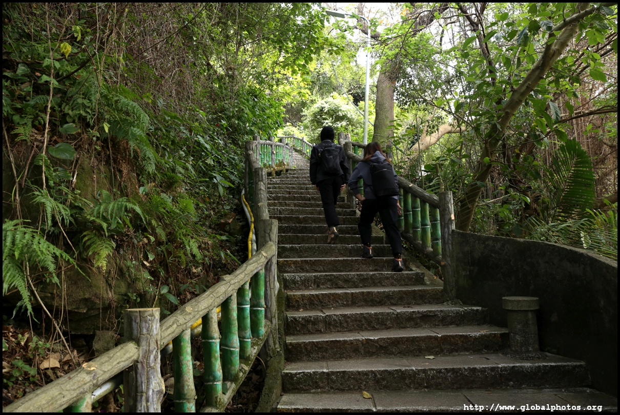
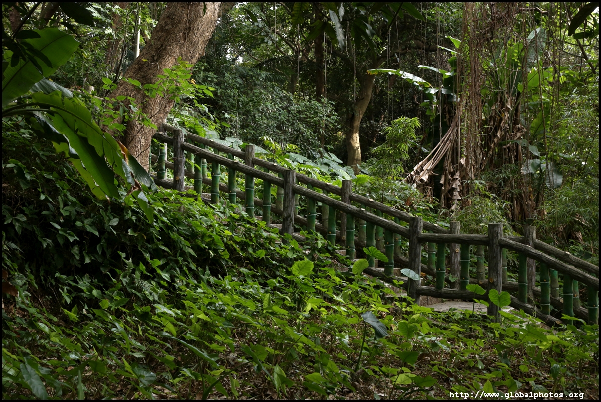
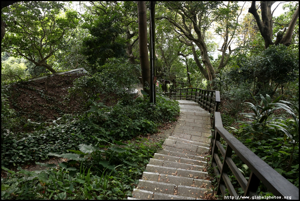
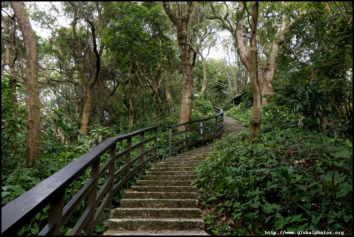
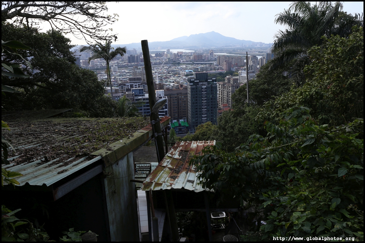
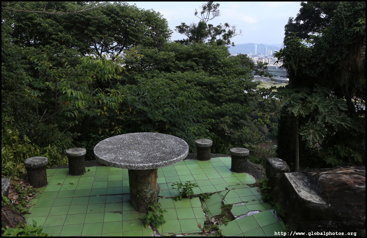
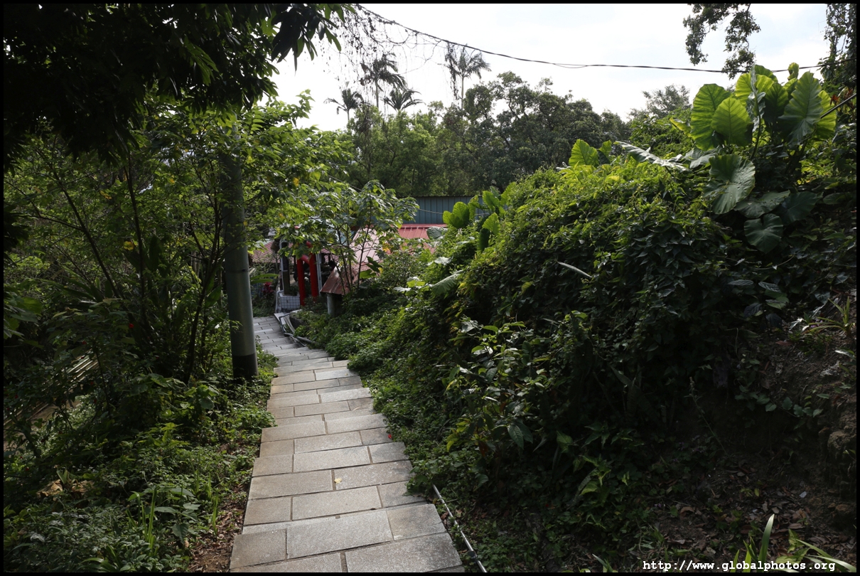
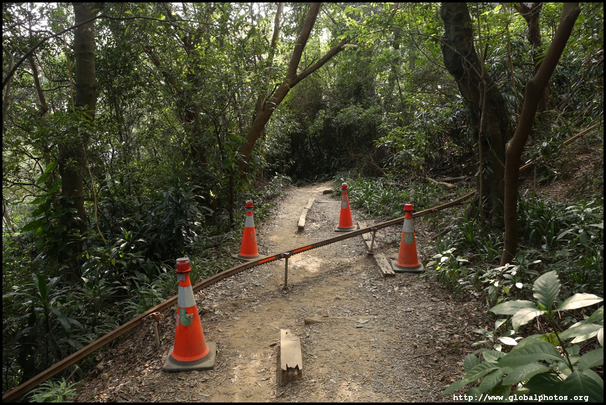
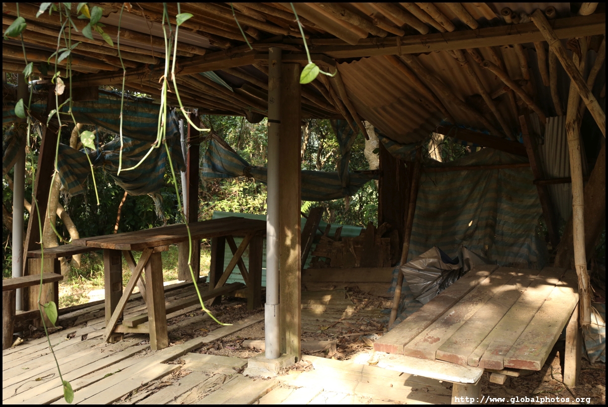
Passing through many rest areas where residents take breaks and socialize, the trail is paved with many stairs although towards the top, there are short sections of dirt paths.
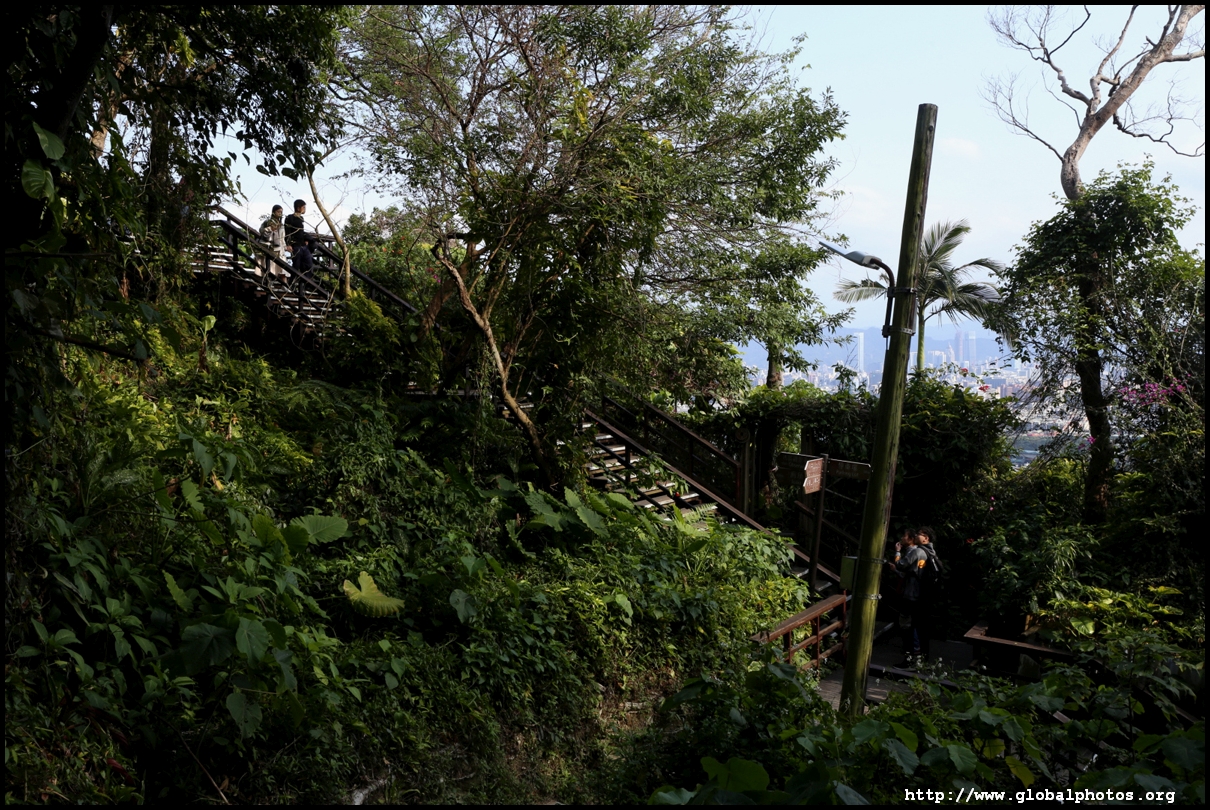
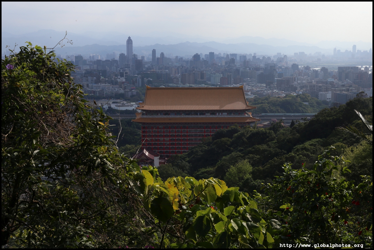
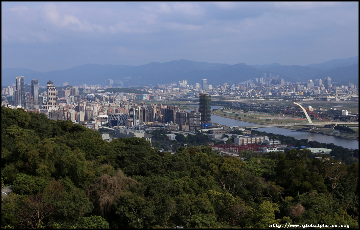
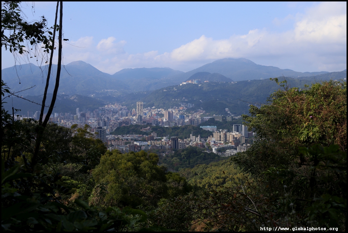
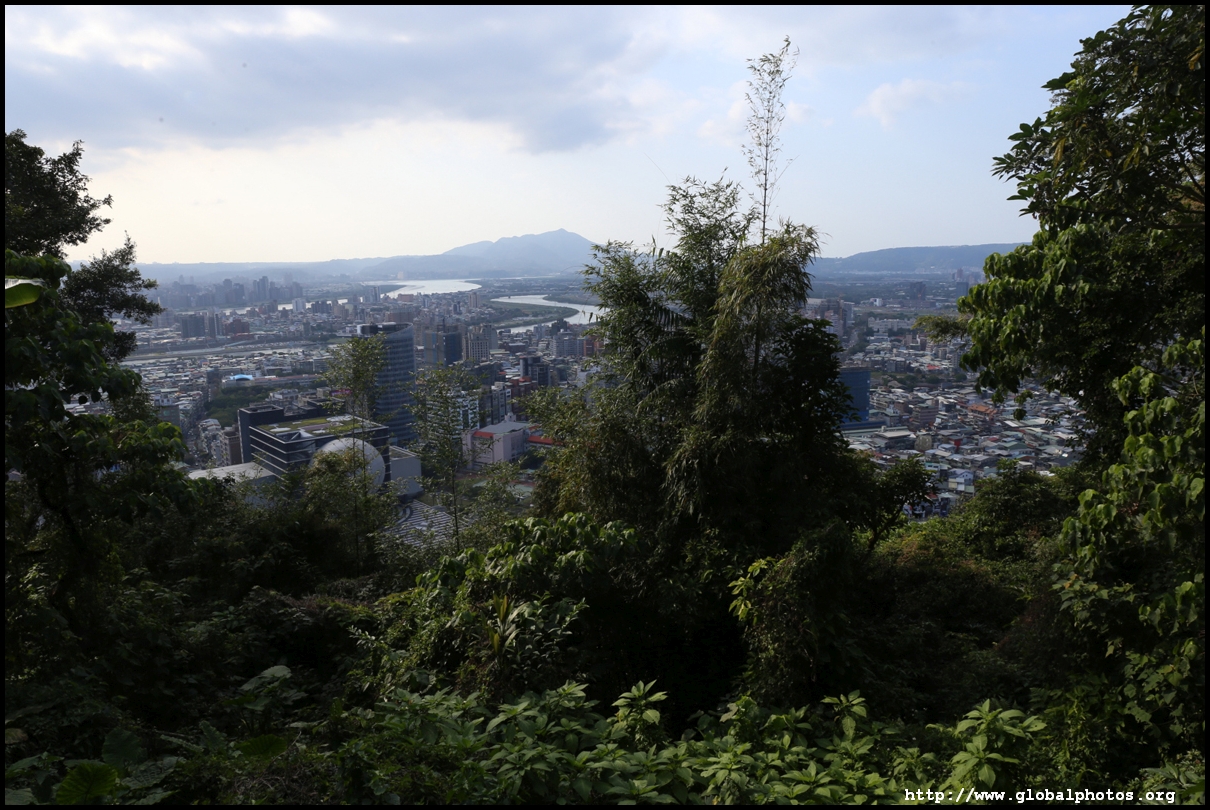
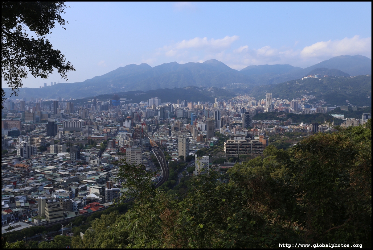
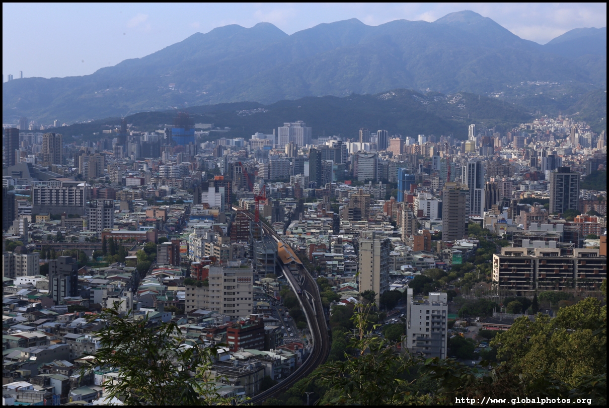
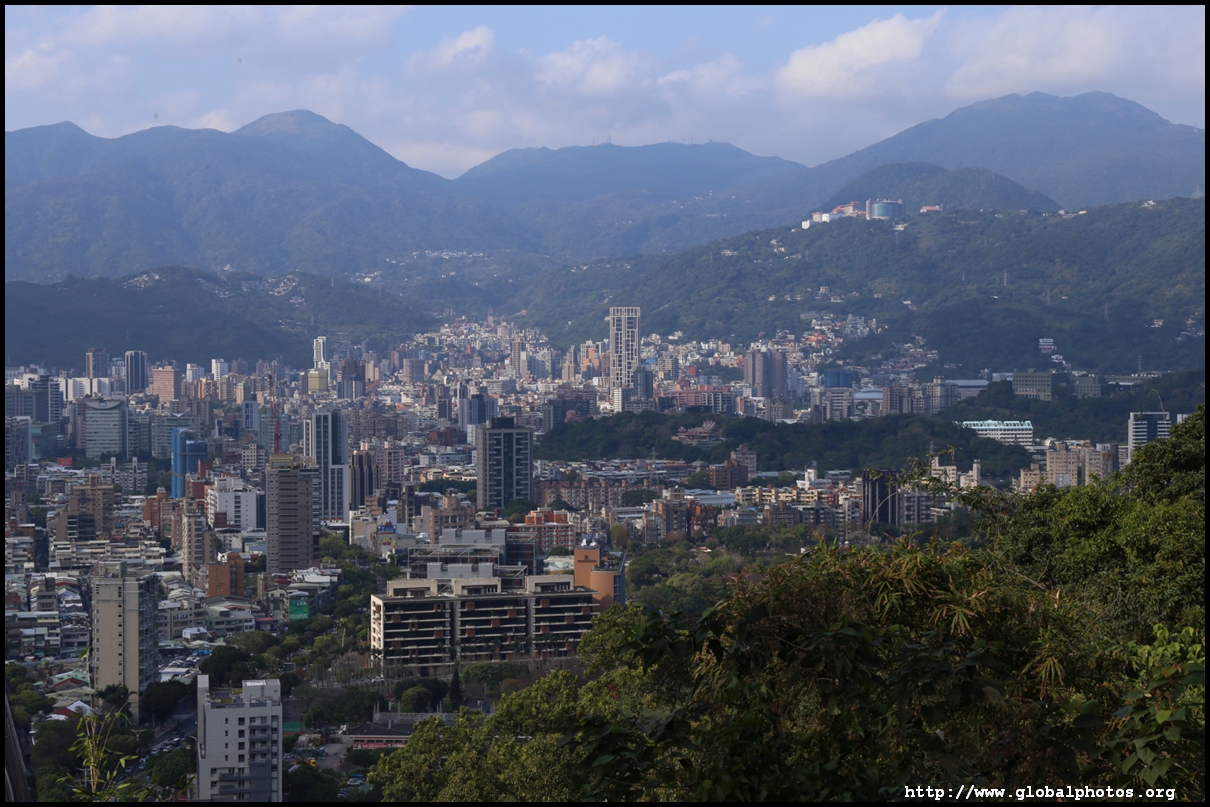
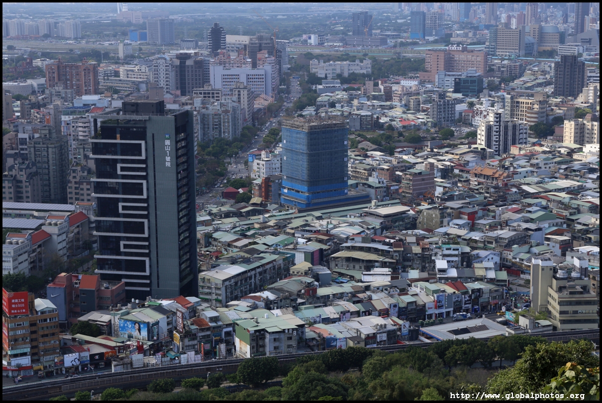
When the path dips towards another long staircase, you will be near the first major skyline viewpoint. Many airplane spotters were already parked here observing the activity at Songshan Airport.
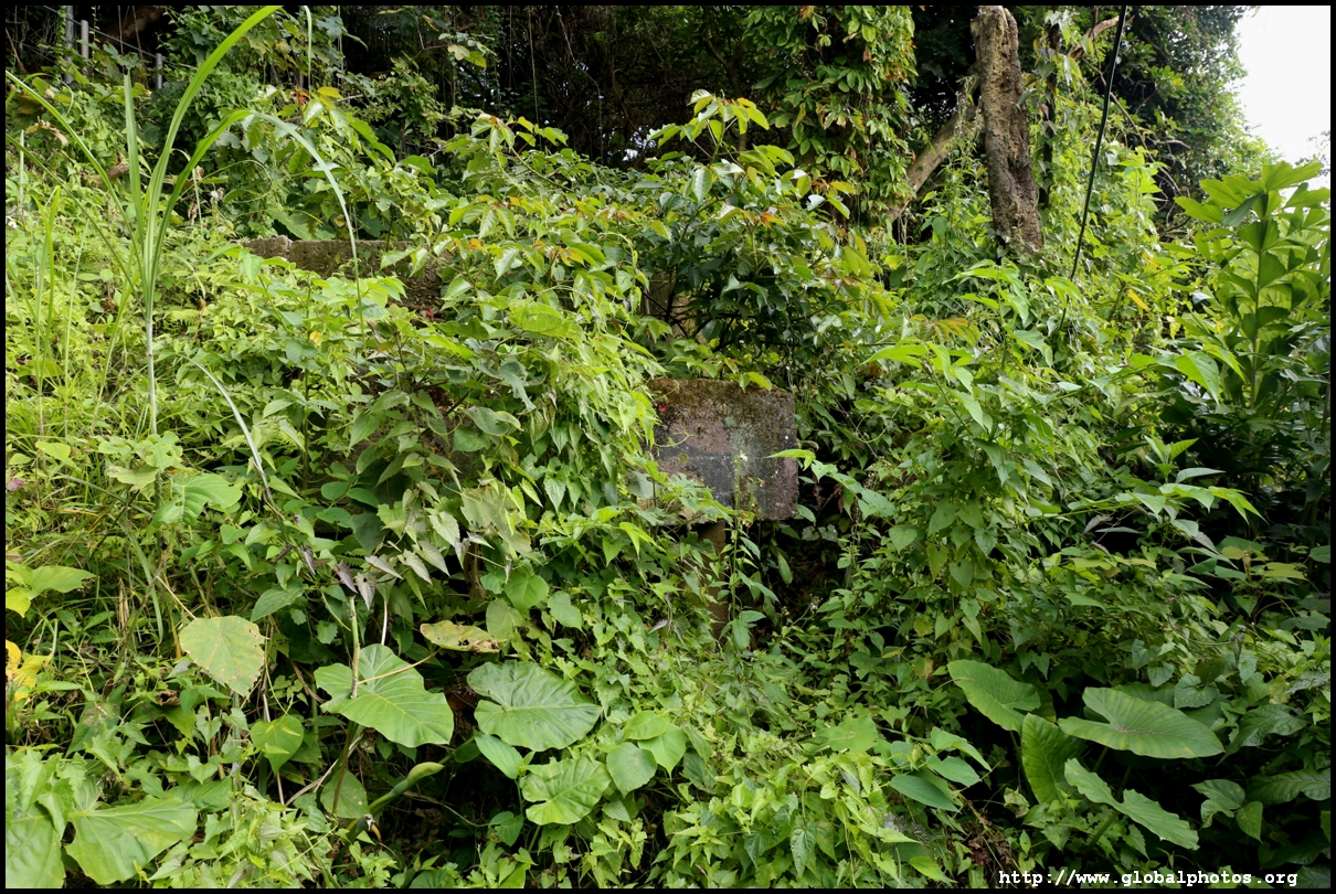
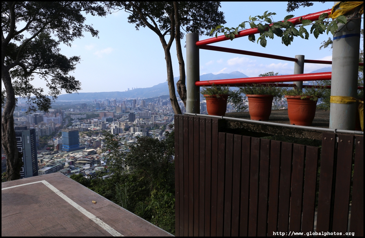
The trail from here on is mostly shaded with a mix of dirt and concrete. I then followed signs and turned off left for the "Benchmark", which faces the other side of the city.
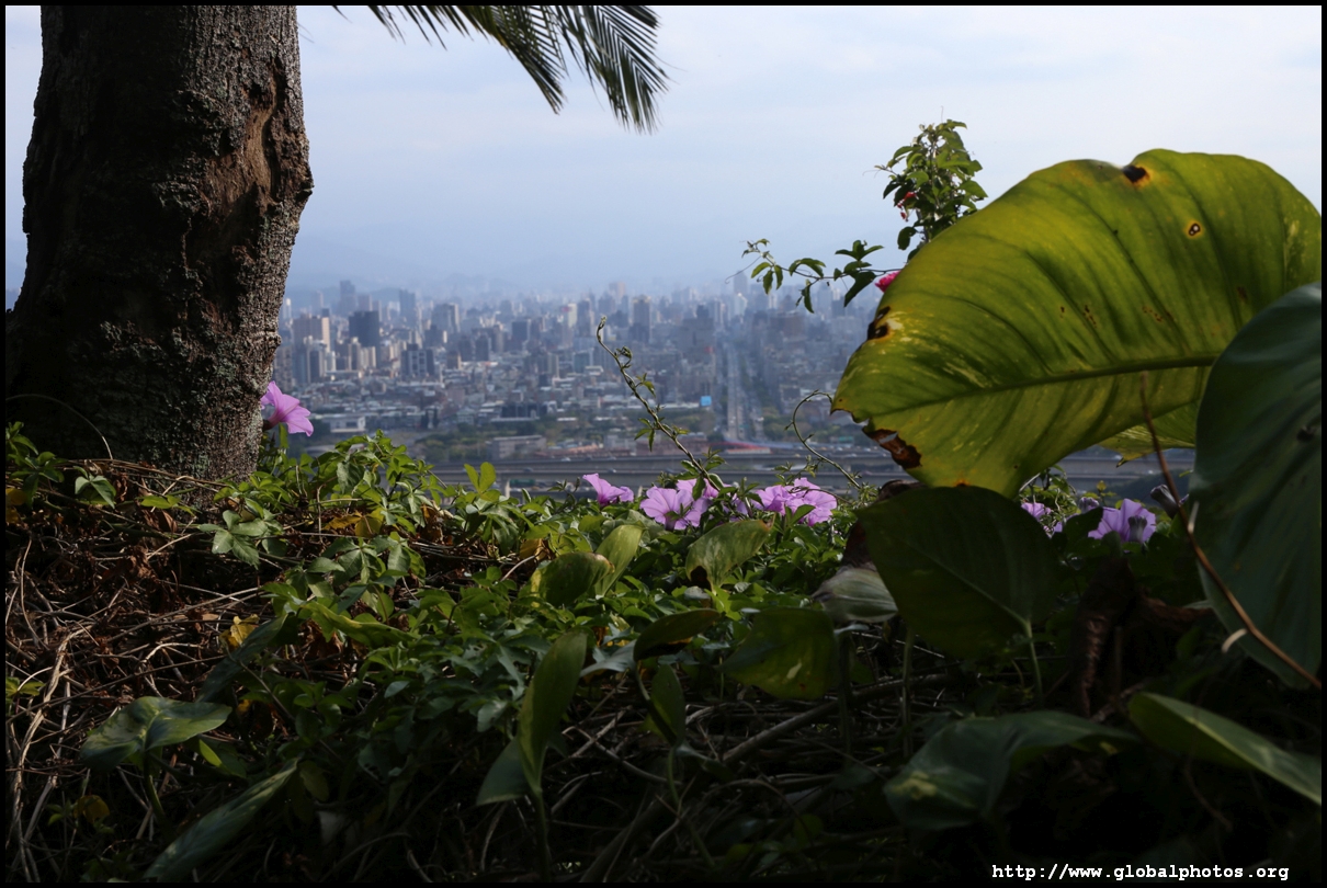
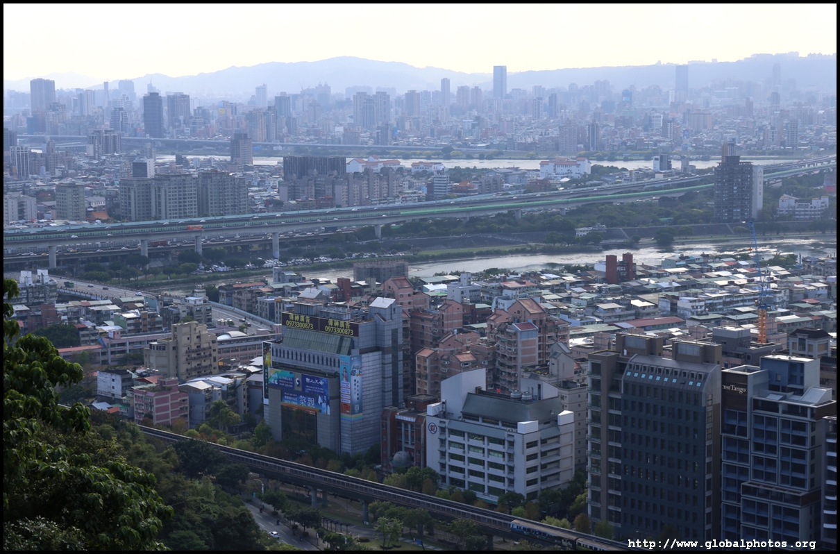
Soon, I could see the MRT station where this hike started. There are many viewpoints along this section that look towards the west and north, which is mostly residential suburbs.
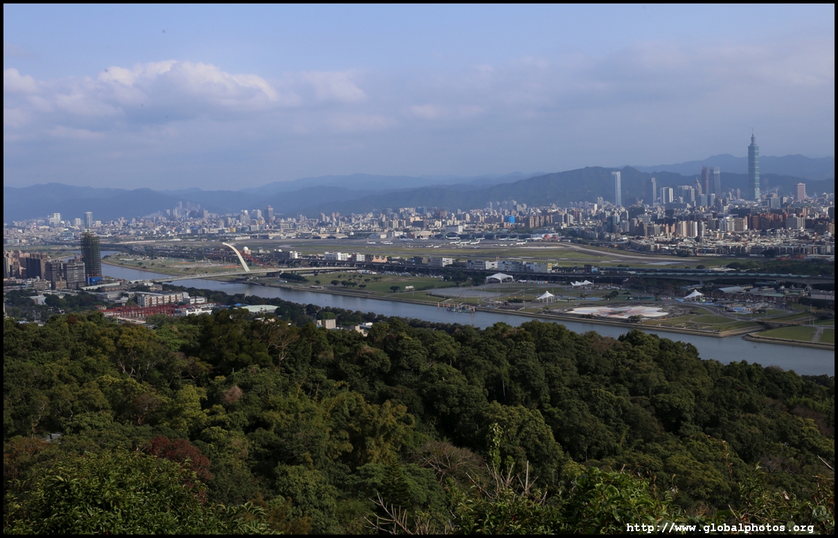
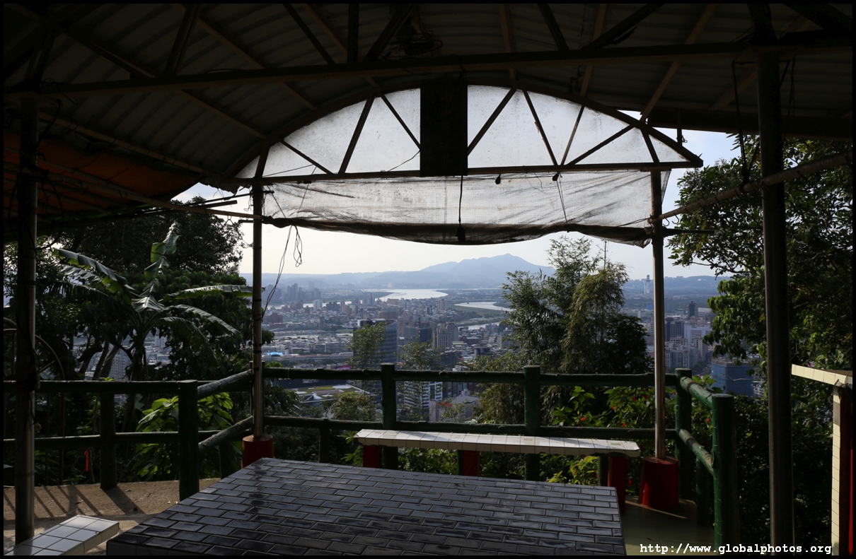
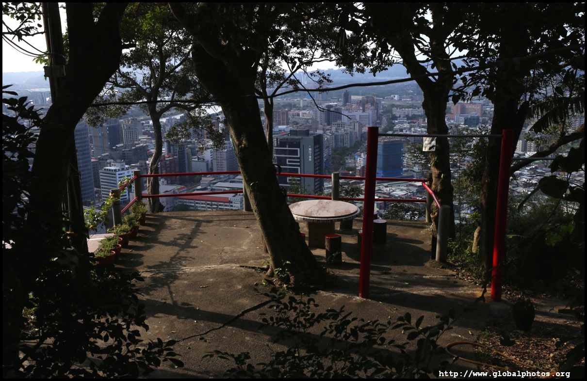
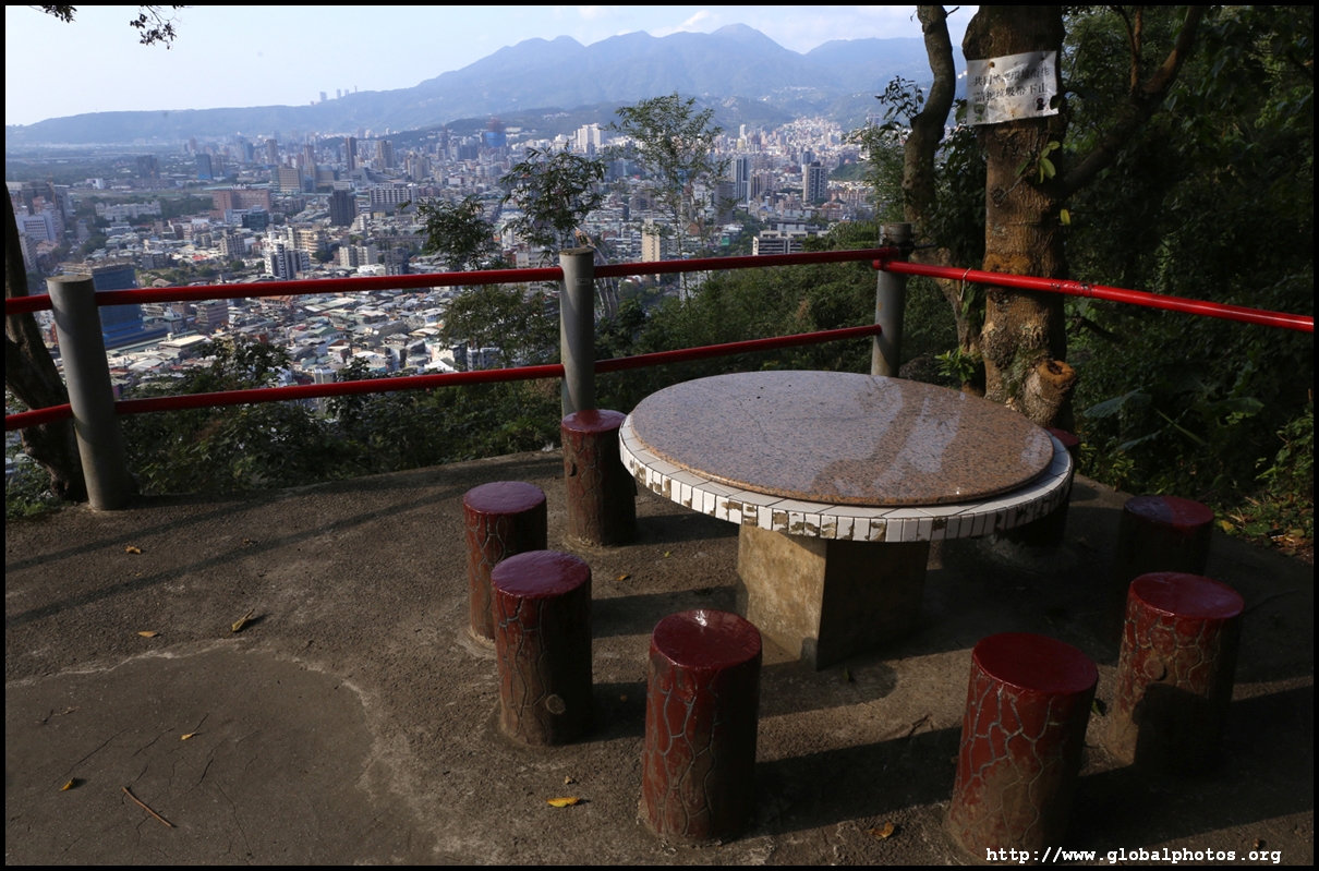
A large platform gives visitors a chance to soak in unobstructed views of the city. However, there are no protective railings, so do take care when taking photos.
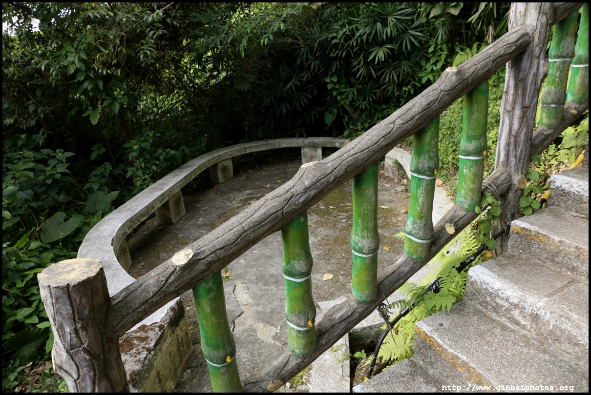
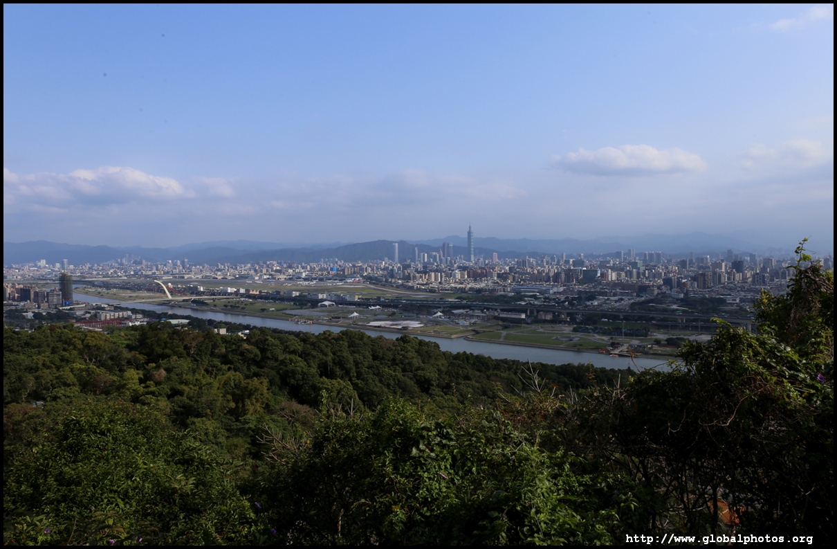
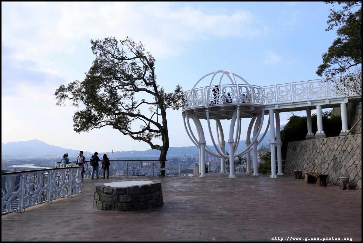
A bit further downhill, there is another nice platform, this time protected, to further enjoy the views.
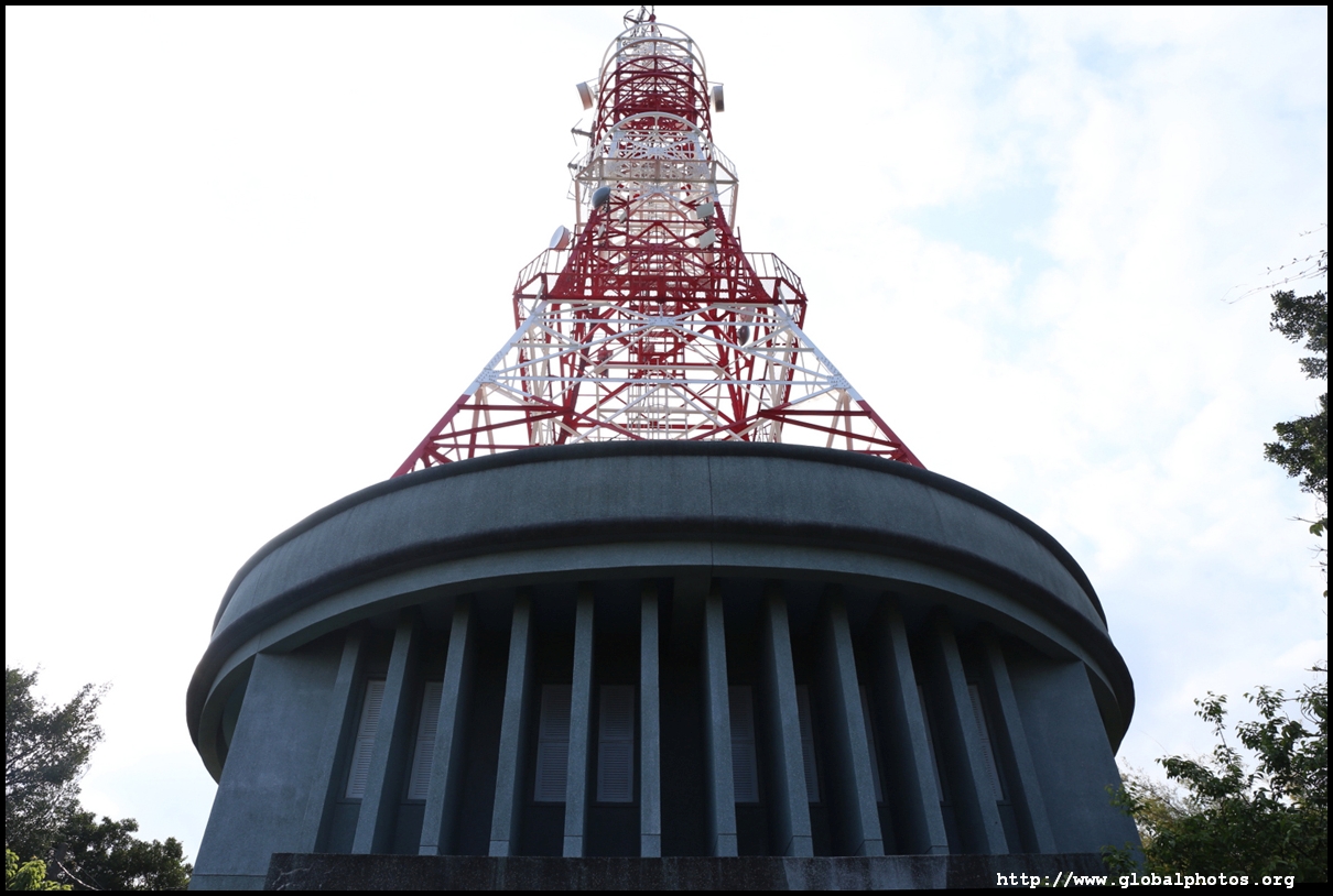
From this viewpoint, you can also see the transmission tower that you passed by earlier. Follow the dirt trail that loops around it to return to the airport lookout point, where you can retrace your steps back downhill.
| |||